Lefthand Canyon Trail
View Photos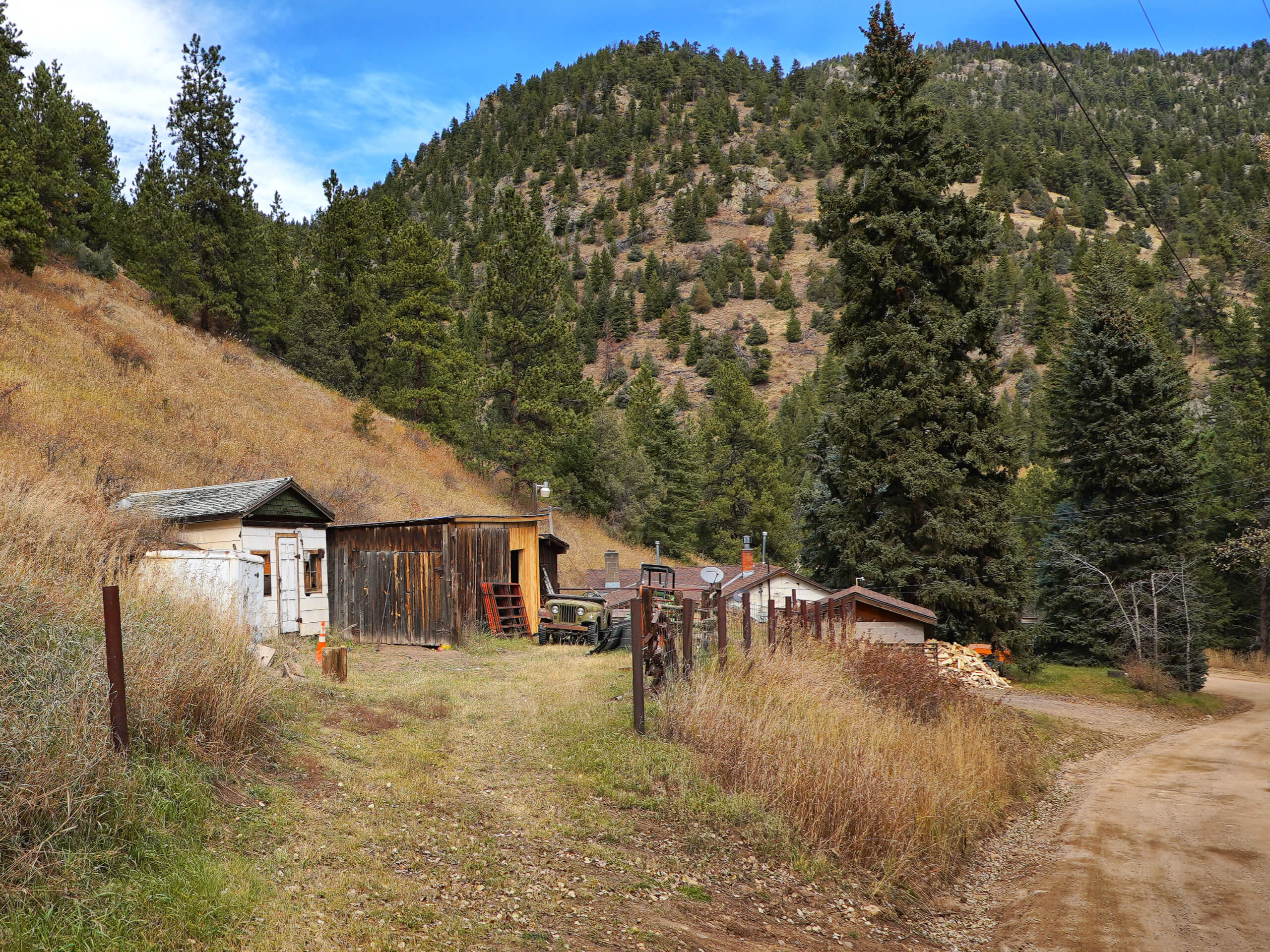
Lefthand Canyon Trail
Difficulty Rating:
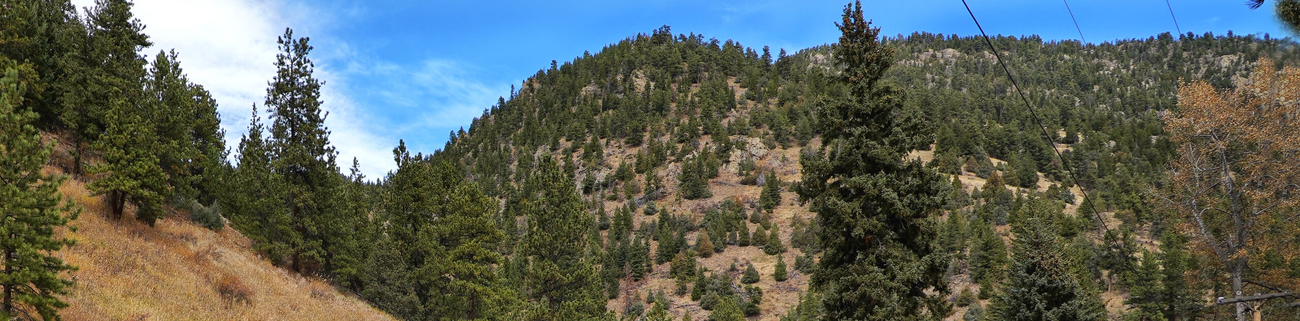
The Lefthand Canyon Trail is a secluded and primitive hike near Boulder. This charming nature walk will guide adventurers through luxuriant meadows that reveal dumbfounding sights of the surrounding foothills. Immerse yourself in nature and disconnect from the real world along this exciting wilderness adventure.
Getting there
The Lefthand Canyon Trail departs from the trailhead off Lefthand Canyon Drive

About
| Backcountry Campground | Dispersed Designated Campsites |
| When to do | May-October |
| Pets allowed | Yes - On Leash |
| Family friendly | Older Children only |
| Route Signage | Poor |
| Crowd Levels | High |
| Route Type | Lollipop |
Lefthand Canyon Trail
Elevation Graph
Weather
Lefthand Canyon Trail Description
The Lefthand Canyon is a stunning day hike near Boulder. Immerse yourself in nature and enjoy the sights of the impressively hilly landscape. Particularly busy with mountain bike traffic on the weekends, we suggest a weekday adventure for more tranquility. Traveling deep into the wilderness, there is a possibility of running into wildlife, so many hikers choose to wear a bear bell to deter any unwelcome encounters. Note this trail is underdeveloped compared to most of the other hikes located on the outskirts of Boulder, so we recommend using the trail GPS to help navigate the poorly marked route. Don’t let the primitiveness deter you, it makes the hike all the more authentic and exciting in our opinion!
Embark on your adventure along the Lefthand Canyon Trail from the trailhead off the Lefthand Canyon Drive. From here, track north along the winding Lefthand Main Trail. Hike this forested route past several mines, ignoring merging and connecting paths. Eventually, you will meet a very confusing intersection. Use the trail GPS to help you navigate this junction and veer left, continuing along the Lefthand Main Trail. From here, the path will become increasingly steep as you trek northwest into the wilderness.
Eventually, you will encounter another intersection, keep right here and you will be diverted onto FRS Trail (286D) before merging onto FRS Trail (286H). Hike this path until you meet the junction with the Fireman Hill Trail. Here, keep left and the route will become increasingly exposed, delivering epic views of the verdant rolling hills. The route will then guide you back below the timberline before delivering you to the Lefthand Main Trail. From here, keep left and retrace your footing along the Lefthand Main Trail all the way back to the trailhead.
Similar hikes to the Lefthand Canyon Trail hike

NCAR to Fern Canyon Hike
The NCAR to Fern Canyon Hike is an awesome but challenging adventure up to the summit of Nebel Horn. Put…
Bear and South Boulder Peaks Loop
Looking for a demanding but rewarding hike near Boulder? We’ve got you covered. The Bear and South Boulder Peaks Hike…

Rattlesnake Gulch Trail
The Rattlesnake Gulch Trail is an epic adventure through the Eldorado Canyon State Park. Ascend the steep cliffs of Eldorado…
Comments