
Scott Carpenter Park Trail
View Photos
Scott Carpenter Park Trail
Difficulty Rating:
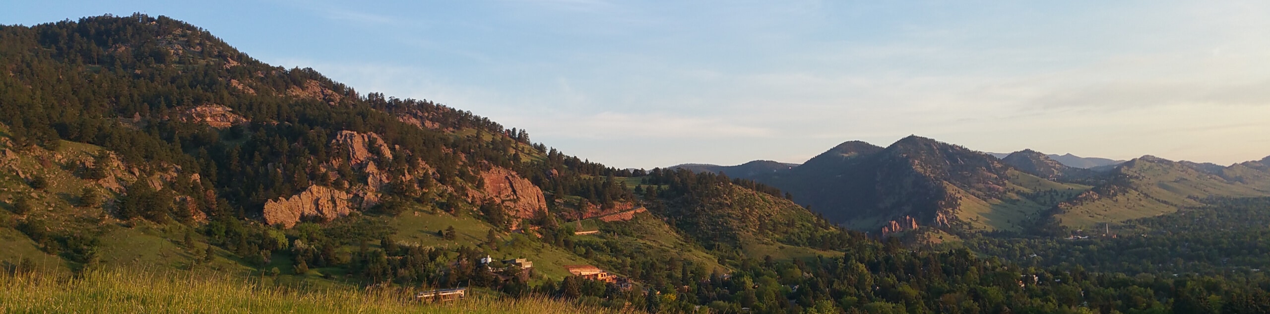
The Scott Carpenter Park Trail is a charming nature walk in Boulder’s city center. A perfect lunch break escapes from the busyness of the city or a weekend post-brunch walk, this trail checks all the boxes. Walk through aspens, evergreens, and greenspaces along the waters of Boulder Creek.
Getting there
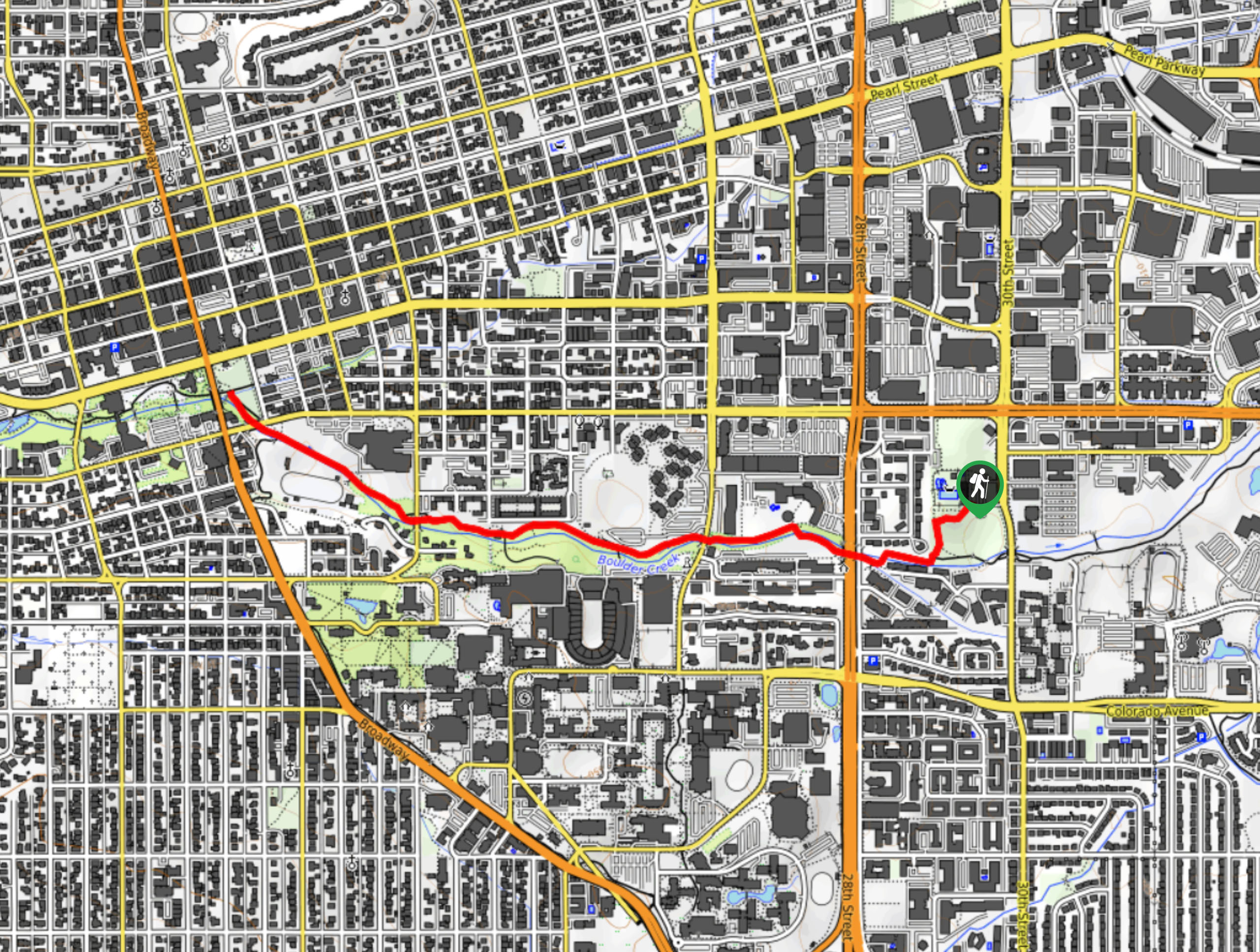
The Scott Carpenter Park Trail departs from the trailhead in the Scott Carpenter Park off 30th Street.

About
| Backcountry Campground | No |
| When to do | Year-round |
| Pets allowed | Yes - On Leash |
| Family friendly | Yes |
| Route Signage | Average |
| Crowd Levels | Moderate |
| Route Type | Out and back |
Scott Carpenter Park Trail
Elevation Graph
Weather
Scott Carpenter Park Trail Description
The Scott Carpenter Park Trail is a lovely trail along Boulder Creek. Hike through greenspaces, beneath the shade of vibrant aspens, evergreens, and past several sports arenas. Continently located just outside Boulder’s city center, the Scott Carpenter Park Hike is the perfect lunch break escape into a natural oasis. Let the fresh air fill your lungs as you hike along the well-maintained path. Open year-round, simply trade your hiking boots for snowshoes in the winter months.
Embark on your adventure along the Scott Carpenter Park Hike from the trailhead off 30th Street. From here, track the Scott Carpenter Path southwest through the greenspace. Soon after your departure from the trailhead, you will encounter an intersection with the Boulder Creek Path. Here, turn right and hike along the Boulder Creek Path through the sparse shade of evergreens along the babbling creek. Walk beneath the bridges, through aspen trees, and past several sports facilities. As you wander west, you will likely be in the company of bikers and several other outdoor enthusiasts enjoying the fresh air.
As you walk, enjoy the sounds of the gurgling waters and revel in the sights of the Boulder cityscape. You will eventually meet the trail’s end at the Boulder Farmers Market. From here, you can merge onto the Boulder Creek Multi-Use Path and explore further, or simply retrace your footing along the path all the way back to the trailhead.
Similar hikes to the Scott Carpenter Park Trail hike

Crown Rock Trail
The Crown Rock Trail is a short but sweet nature walk that presents the perfect excuse to get the family…
Chautauqua, Bluebell and Baird Trail
Immerse yourself into nature and get some fresh air along the Chautauqua, Bluebell and Baird Trail. Conveniently located just outside…
Bluebell, Woods Quarry, and Enchanted Mesa Loop
The Bluebell, Woods Quarry and Enchanted Mesa Loop is a charming nature walk in the Boulder Open Space. Conveniently located…
Comments