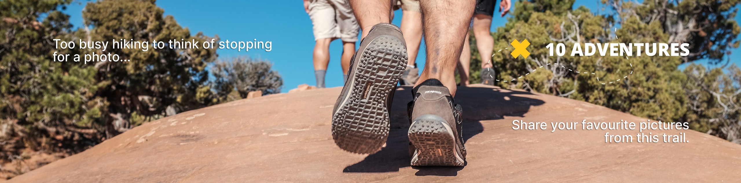
Mallory Cave Hike
View Photos
Mallory Cave Hike
Difficulty Rating:
One of the earliest recreational trails along the foothills, the Mallory Cave Hike has remained a revered hiking destination. Trek along the base of Boulder’s notable landmark, the Flatirons, before ascending into the red rocks and scrambling up to the gated bat cave. Perfect to blow off some steam, this technical adventure is sure to impress its adventurers.
Getting there
The Mallory Cave Hike departs from the NCAR Trailhead off NCAR Road.

About
| Backcountry Campground | No |
| When to do | Year-round |
| Pets allowed | Yes - On Leash |
| Family friendly | Older Children only |
| Route Signage | Good |
| Crowd Levels | Extreme |
| Route Type | Out and back |
Mallory Cave Hike
Elevation Graph
Weather
Mallory Cave Hike Description
The Mallory Cave Hike is a crowd favorite, even now that the cave itself is locked. Unfortunately, the cave had to permanently close to safeguard the bat population from white-nose syndrome, which is carried by humans. Don’t worry though, you can still enjoy the cave from behind the gate.
Not only is there the possibility of spotting bats, but the Mallory Cave Trail travels deep into the wilderness where the possibility of seeing black bears or mountain lions is not as slim as you may think. Some choose to wear a bear bell to mitigate the chances of any unwelcome encounters with wildlife. Additionally, though dogs are permitted on the hike, it is suggested to leave them at home. The rearmost section of the trail up to the cave is rocky, steep, and technical, making it hard for pups to safely navigate the terrain.
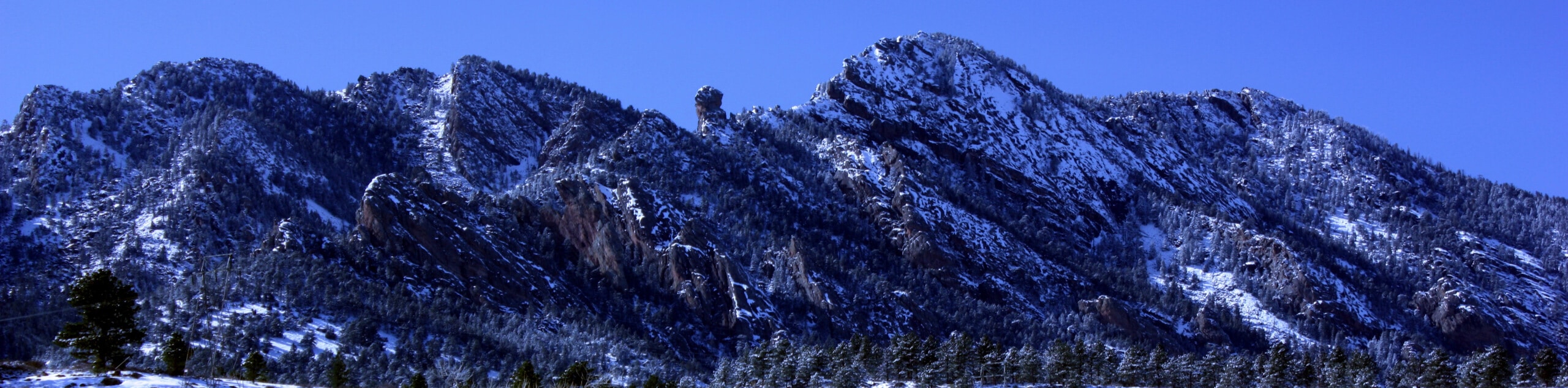
The Mallory Cave Hike is a charming adventure that exhibits the diversity of the Colorado wilderness. Travel through the sweet-smelling ponderosa pines, through enchanting grasslands, and up through the fissures of red sandstone rocks. Stimulating, scenic, and strenuous, the Mallory Cave Hike will keep you on your toes. Frequented by many, this crowd-favorite trail is well-marked, well-maintained, and easy to navigate. Guiding adventurers along the base of the Flatirons, this trail exposes a unique perspective of the rock blades looming above. If you are not shy of some scrambling, then the Mallory Cave Hike is a must-add to your Boulder itinerary.
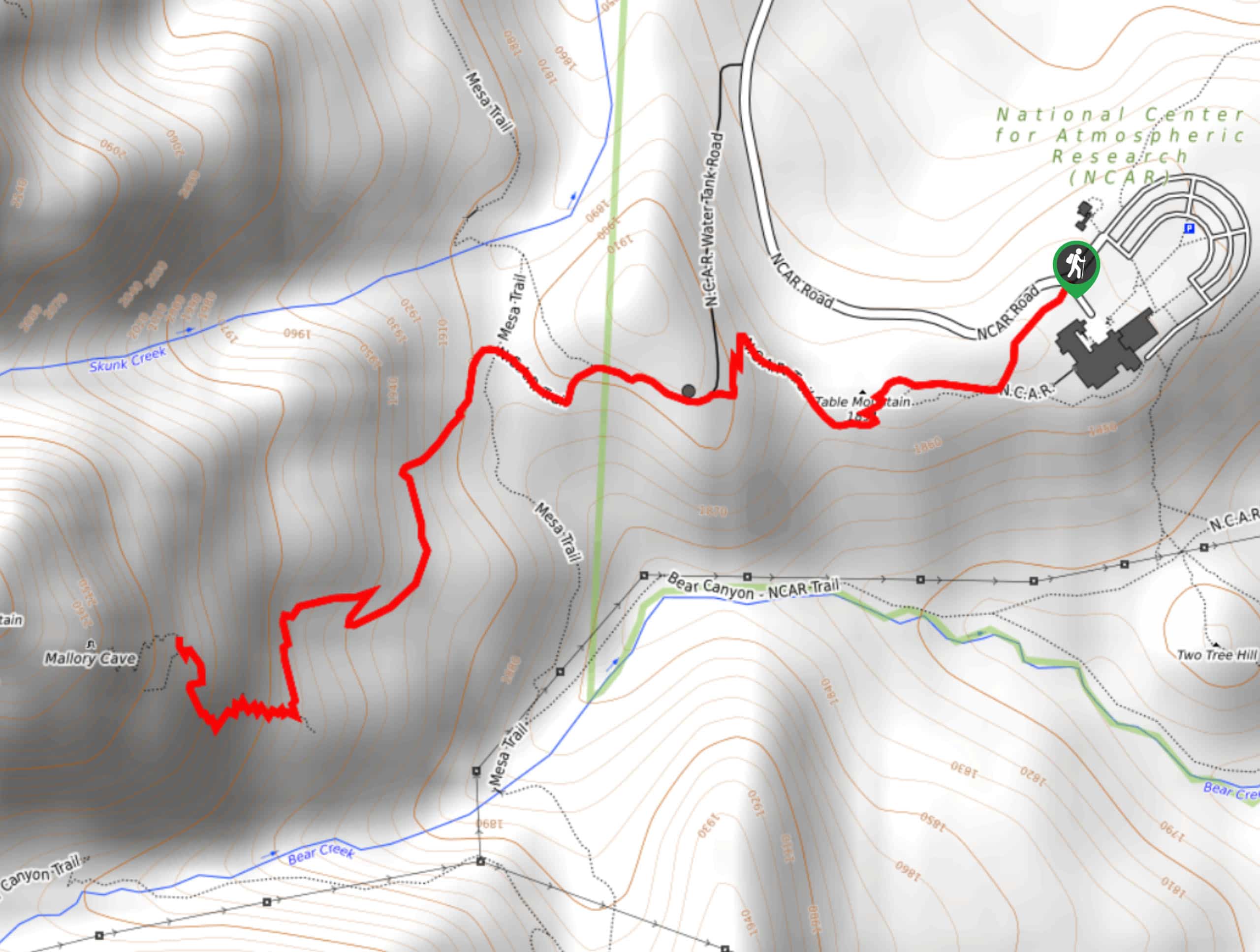
Embark on your adventure up to Mallory Cave from the NCAR Trailhead. From here, track southwest along the NCAR Trail. This path will guide adventurers through the grasslands and over the summit of Table Mountain. Here you will be granted impressive views of the towering Flatirons and encompassing peaks. As you wander through the grassy meadows, be sure to keep an eye out for grazing deer. Soon the trail will guide you beneath tree coverage of ponderosa pines. Enjoy the tree shade of the sweet-smelling evergreens, and you will eventually confront an intersection with the Mesa Trail.
At the junction, keep straight, and you will be diverted onto the Mallory Cave Trail. This route will gently undulate through the woodland and immense rock outcropping. As you near the cave, the terrain will become increasingly technical. If you have your dog with you, this is a good time to turn around. Follow the blue signposts through the breaks in the sandstone rocks. Mind your footing, and if you trek after rainfall, be cautious of the slippery rocks. Soon you will summit the path to the cave. There is a large iron gate here closing the cave to prevent visitors from contaminating the area. Explore the area, peek through the gate and rehydrate here. When you are ready to return, carefully retrace your footing down the rocks all the way back to the trailhead, marking the end of your adventure.
Frequently Asked Questions
How long is the Mallory Cave Hike?
The Mallory Cave Trail is a 3.4mi hike.
Is Mallory Cave still open?
The Mallory Cave Hike is open, but the cave itself is permanently closed to reduce human contamination that has proven detrimental to the bat population in the area.
Insider Hints
Though dogs are permitted on the trail, it is recommended to leave them at home as the terrain near the cave requires scrambling and can be hard on your pup’s paws
Wear crampons in the winter months to navigate the icy terrain more easily
Grab a beer at Sanitas Brewing Company after your hike
Similar hikes to the Mallory Cave Hike hike

NCAR to Fern Canyon Hike
The NCAR to Fern Canyon Hike is an awesome but challenging adventure up to the summit of Nebel Horn. Put…
Bear and South Boulder Peaks Loop
Looking for a demanding but rewarding hike near Boulder? We’ve got you covered. The Bear and South Boulder Peaks Hike…

Rattlesnake Gulch Trail
The Rattlesnake Gulch Trail is an epic adventure through the Eldorado Canyon State Park. Ascend the steep cliffs of Eldorado…
Comments