NCAR and Table Mesa Loop Trail
View Photos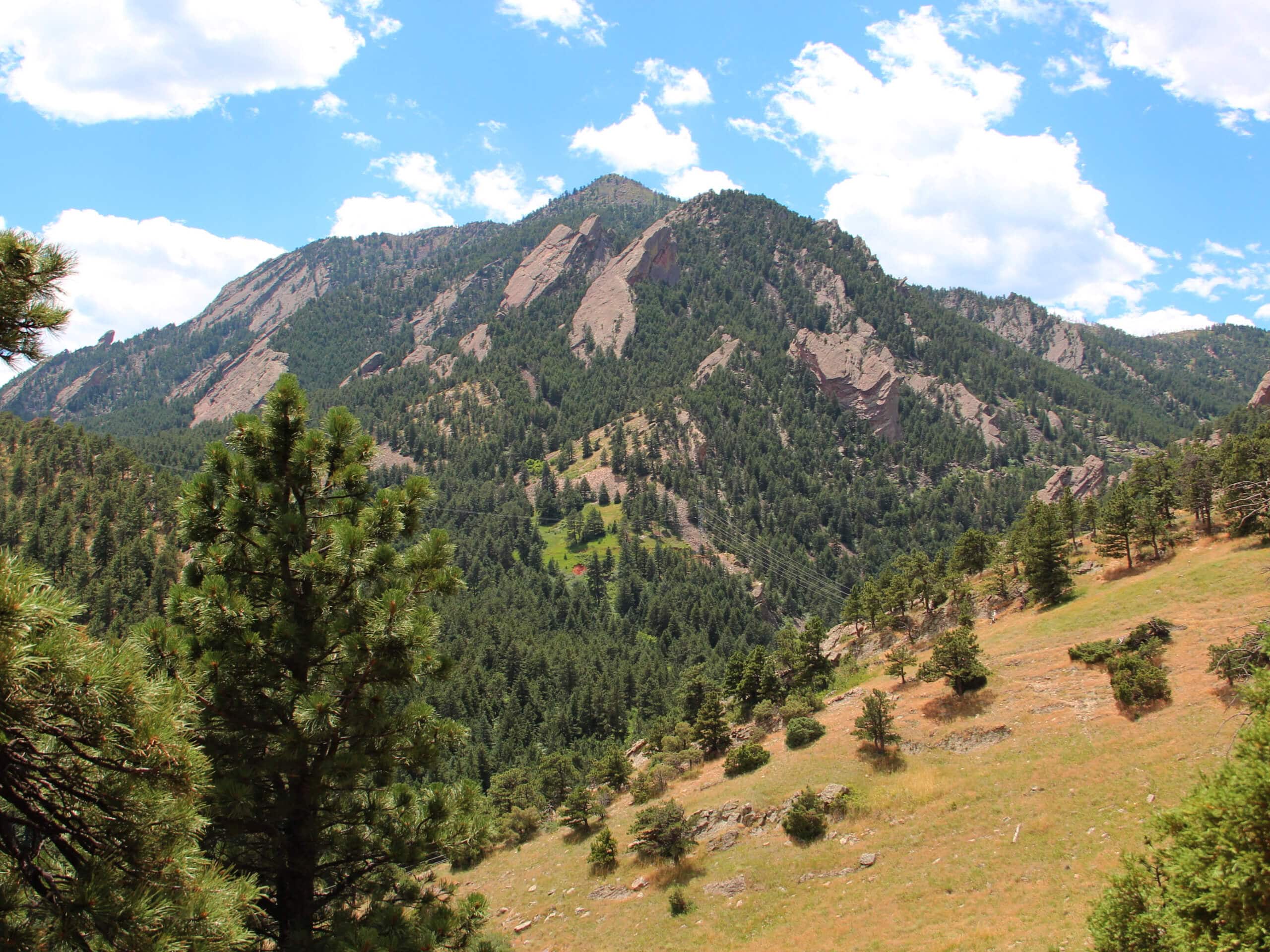
NCAR and Table Mesa Loop Trail
Difficulty Rating:
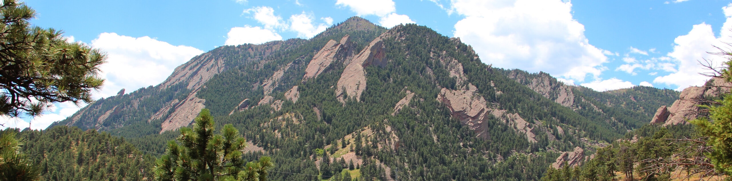
Featuring grasslands, forestlands, and epic mountain views, the NCAR and Table Mesa Loop Trail packs a punch! This charming adventure travels along the foot of the Flatirons and along the gurgling waters of Bear Creek. Let the stunning vistas and the ambiance of nature encompassing you lull you into a state of relaxation.
Getting there
The NCAR and Table Mesa Loop Trail departs from the NCAR Trailhead off Deer Valley Road.

About
| Backcountry Campground | No |
| When to do | Year-round |
| Pets allowed | Yes - On Leash |
| Family friendly | Yes |
| Route Signage | Average |
| Crowd Levels | Moderate |
| Route Type | Circuit |
NCAR and Table Mesa Loop Trail
Elevation Graph
Weather
NCAR and Table Mesa Loop Trail Description
The NCAR and Table Mesa Loop Trail is a lovely nature walk that is sure to please all of its adventurers. Whether you are a novice hiker or an intrepid explorer, we think you’ll enjoy this trail just as much as we do. The diverse scenery and possibility of spotting wildlife will motivate you and stimulate you as you wander through the wilderness. Note this path travels through an area inhabited by black bears, mountain lions, and deer, so keep an eye out for them! Next time you are in the Boulder area, be sure to add the NCAR and Table Mesa Loop Hike to your itinerary.
Your journey along the NCAR and Table Mesa Loop Trail departs from the trailhead off Deer Valley Road. From here, track southwest along the Skunk Canyon Service Road, intersecting with a creek before veering left and merging onto the Skunk Canyon Trail. Enjoy the sights of the Flatirons before trekking below the timberline. Soon you will turn onto the Mesa Trail, tracking south through ponderosa pines to Bear Creek Canyon.
At the canyon’s junction, head left and you will be diverted onto the Bear CanyonNCAR Trail. This path will guide out back into the meadowlands to another intersection. Here, keep left onto the NCAR-Bear Connector Trail. Hike along this route to the trail’s end, turning left onto the NCAR Table Mesa/ Bear Trail all the way back to the trailhead.
Similar hikes to the NCAR and Table Mesa Loop Trail hike

NCAR to Fern Canyon Hike
The NCAR to Fern Canyon Hike is an awesome but challenging adventure up to the summit of Nebel Horn. Put…

Crown Rock Trail
The Crown Rock Trail is a short but sweet nature walk that presents the perfect excuse to get the family…

Rattlesnake Gulch Trail
The Rattlesnake Gulch Trail is an epic adventure through the Eldorado Canyon State Park. Ascend the steep cliffs of Eldorado…
Comments