Dry Creek Trail
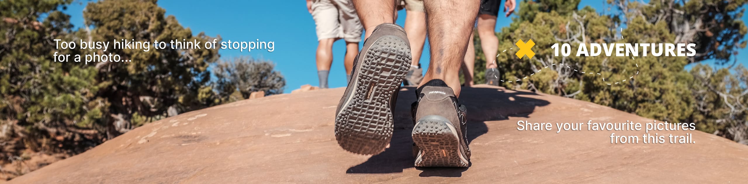
View Photos
Dry Creek Trail
Difficulty Rating:
The Dry Creek Trail explores the wild character of the Boise Foothills. This epic expedition travels through the large drainage bound by desert riparian habitats and pine woodlands abundant with a variety of flora and fauna. We love this hike, and you will too.
Getting there
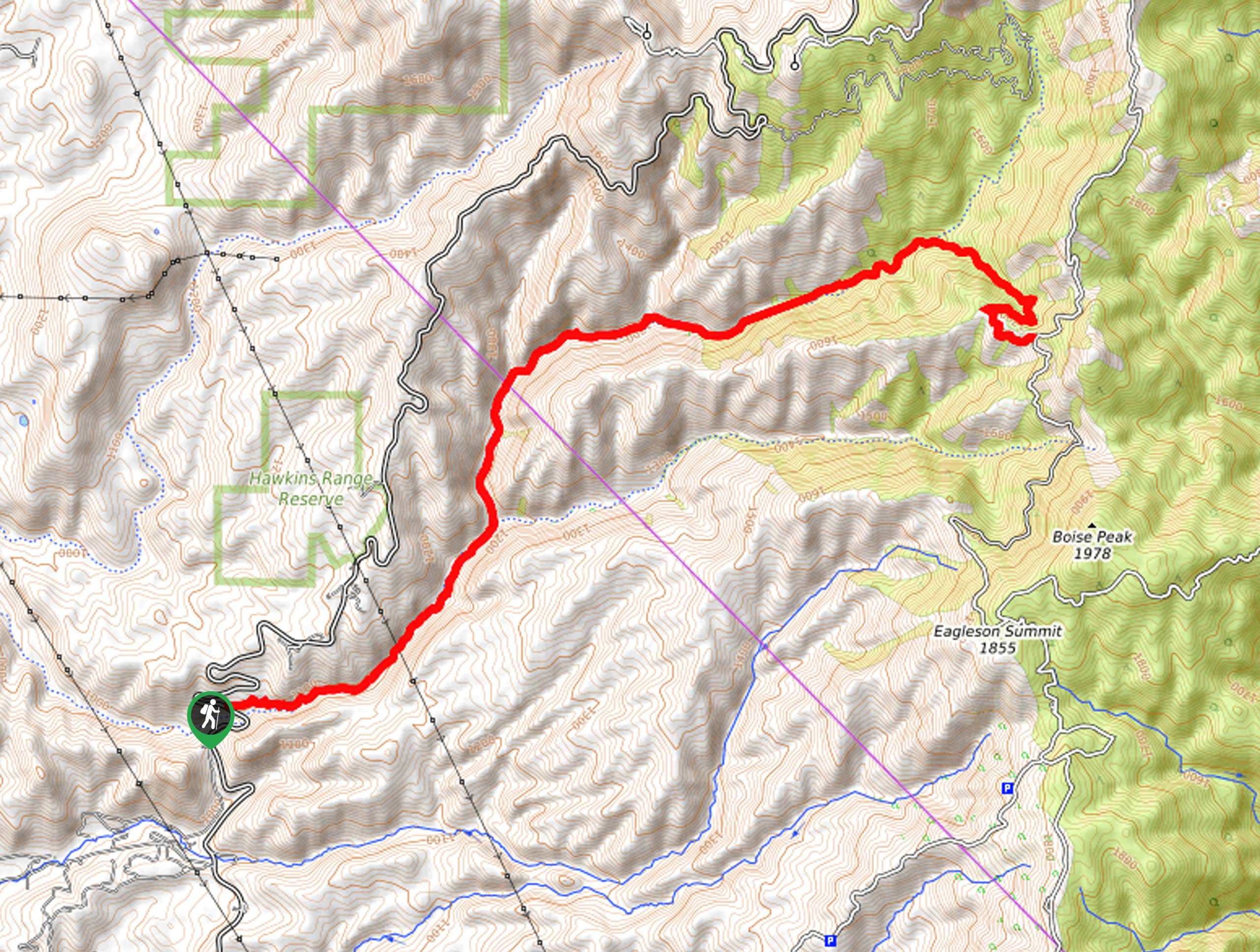
The Dry Creek Trail departs from the trailhead off the N Bogus Basin Road.

About
| Backcountry Campground | No |
| When to do | Year-round |
| Pets allowed | Yes - On Leash |
| Family friendly | No |
| Route Signage | Average |
| Crowd Levels | Moderate |
| Route Type | Out and back |
Dry Creek Trail
Elevation Graph
Weather
Dry Creek Trail Description
Contrary to its name, the Dry Creek Trail is rarely dry. In fact, this demanding adventure demands several creek crossings, and the route is often unstable with mud—but that’s all part of the experience! Wander through lush forests of Douglas fir and ponderosa pines and dense communities of sagebrush and bitterbrush. As you hike, you will likely enjoy the sights of beavers constructing their homes along the drainage and elk and mule deer occupying the bounding pasturelands. As most of this route is exposed, it is wise to wear SPF and pack plenty of water or a water filter to stay hydrated!
Embark on your adventure along the Dry Creek Trail from the trailhead off N Bogus Basin Road. Tracking northeastwardly from here, you will begin your climb along the drainage, contouring the rocky ridge.
After some hiking, you will reach the convergence of Dry Creek and Shingle Creek—if you are interested in exploring both perennial creeks, check out the Shingle Creek and Dry Creek Loop Hike. Keep left here, hiking along Dry Creek. Now traveling more east, the constant climb will tire you.
After taking a break to rest and rehydrate, continue your ascent, and you will ultimately reach the trail’s end at the intersection with the Boise Ridge Road. Admire the views of the Boise Foothills from here, then head back to the trailhead the way you came.
Similar hikes to the Dry Creek Trail hike
Station Creek Trail
The Station Creek Trail is a hidden treasure in the Boise National Forest. This lovely path explores shaded pine forests…
Around the Mountain Hike
Enjoy a different perspective of Bogus Basin along the Around the Mountain Hike. What is a bustling ski resort in…

Kepros Mountain Trail
The Kepros Mountain Trail ascends one of Boise’s famed ‘Grand Slam Peaks’. Tempting experienced hikers and ambitious beginners, this demanding…
Comments