Semnoz Hike
View Photos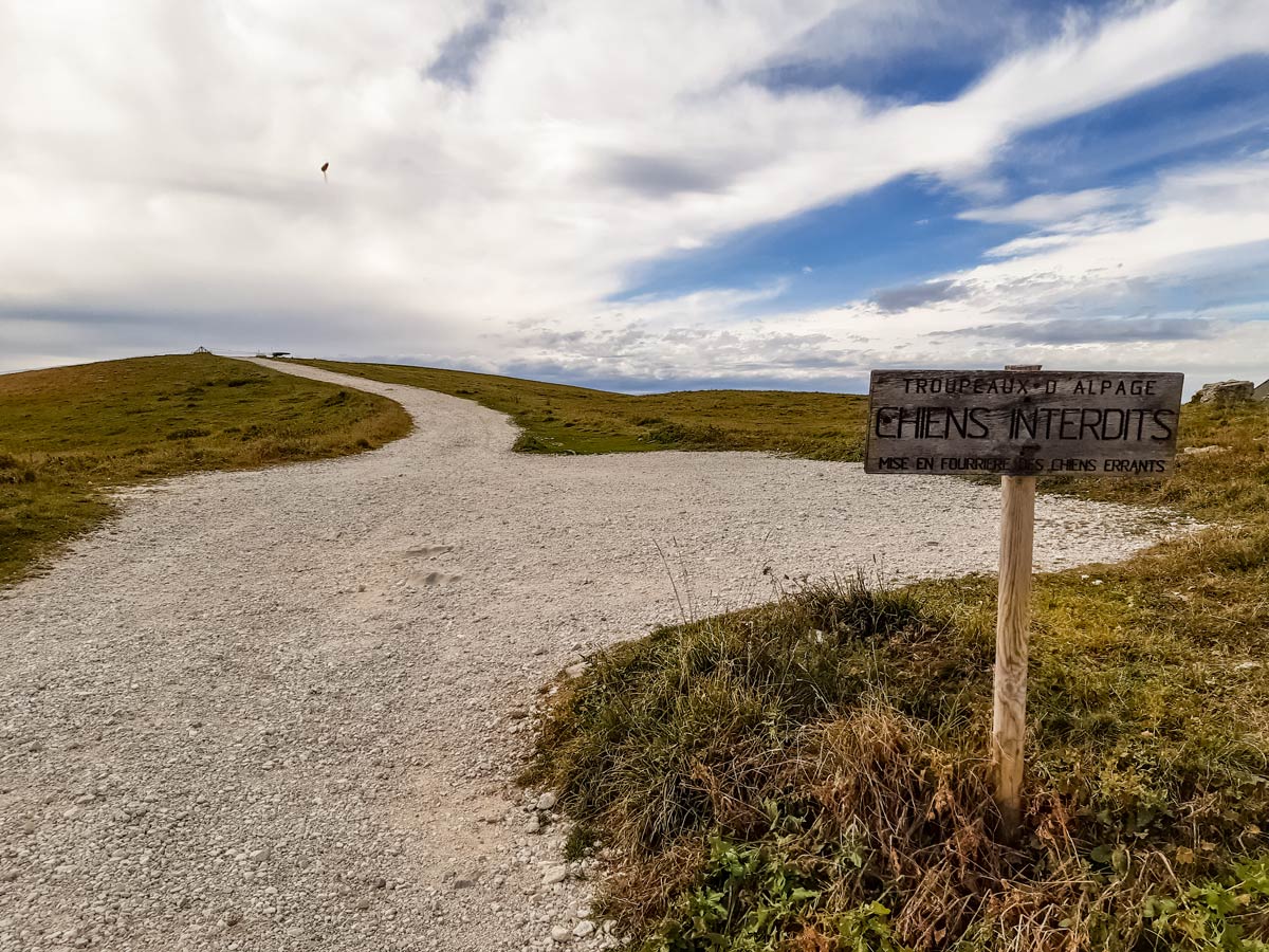

Semnoz Hike
Difficulty Rating:
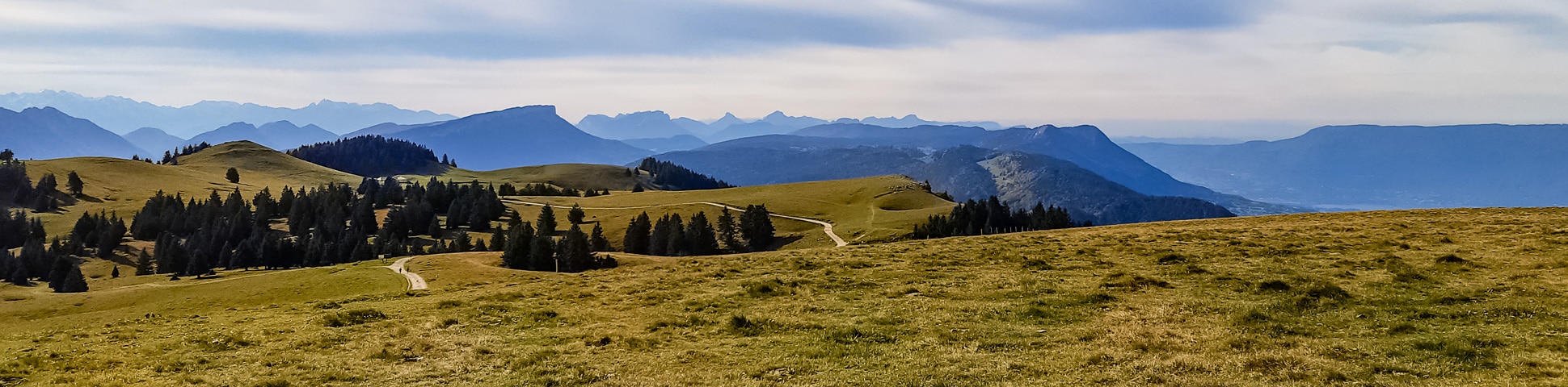
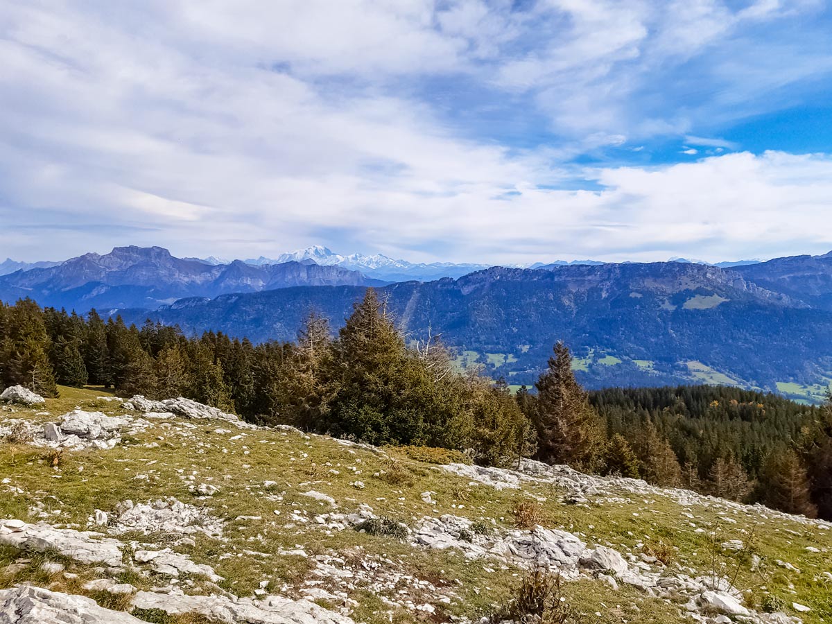
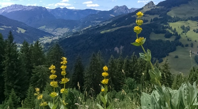
Semnoz is a ski resort on the Bauges pre-Alps mountain range, overlooking Lake Annecy and the Alps to the east and Jura to the north. With an altitude of just 5574ft, the ski season is short, resulting in a few extra months for snow-free hiking. This panoramic hike is short and easy for families with kids or those looking for a hike without steep sections.
Getting there
During summer, a bus runs six times a day to Semnoz from the main bus station in Annecy. Get off at the bus stop for Le Courant d’Ere restaurant, near the end of the line. If driving, continue along the road past the main car park for the Semnoz ski resort until you reach the summit. Park the car in the car park on the right, just after the restaurant Le Courant d’Ere.

About
| When to do | March - December, depending on snow |
| Backcountry Campsites | No |
| Toilets | No |
| Family friendly | Yes |
| Route Signage | Good |
| Crowd Levels | High |
| Route Type | Lollipop |
Semnoz Hike
Elevation Graph
Weather
Route Description for Semnoz Hike
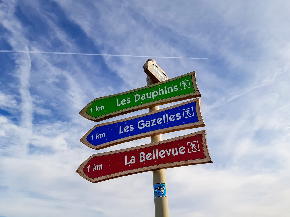
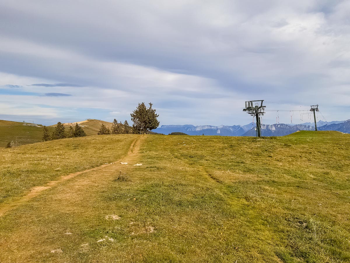
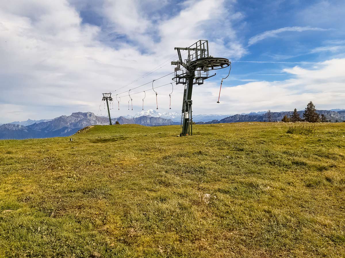
Walk away from the car park entrance towards the gravel track at the other end that leads to the top of a ski lift. At the top of the lift, the gravel ends but the track continues through the open fields, parallel to the larger track further left. You’ll pass some cross-country ski signposts along the way.
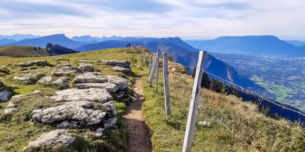
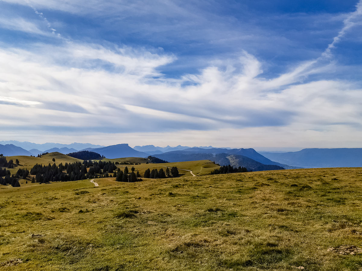
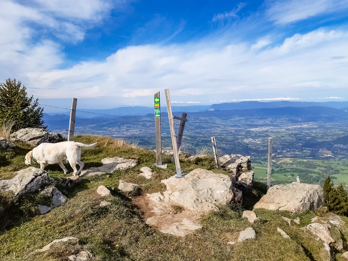
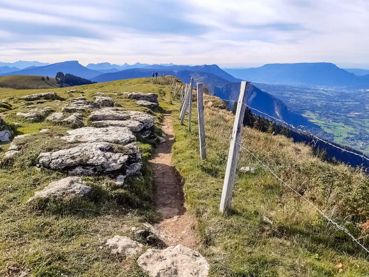
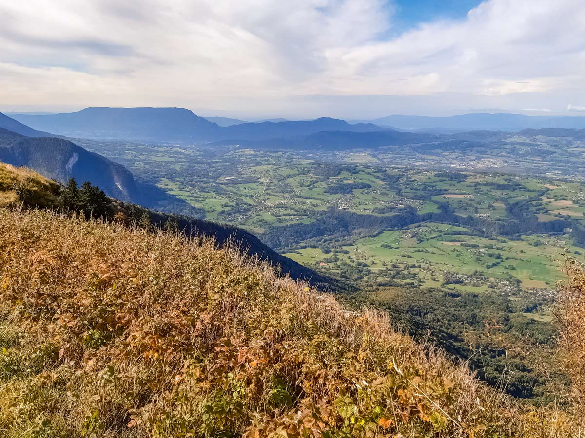
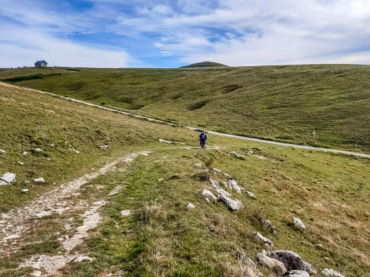
For the best views of the distant Jura and the surprisingly close Lac du Bourget, stay near the crest on the right of the fields, where there is a narrower track. There are a few wooden posts with horizontal yellow and red lines to mark the way. Follow the track over some white rocks and beside the fenced-off cliff to the right, then down the hill and around to the left until it meets the larger track once more. As you approach the large track, you will also see a high peak behind the ridge in front: that’s the destination of this hike.
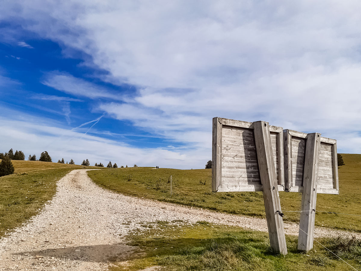
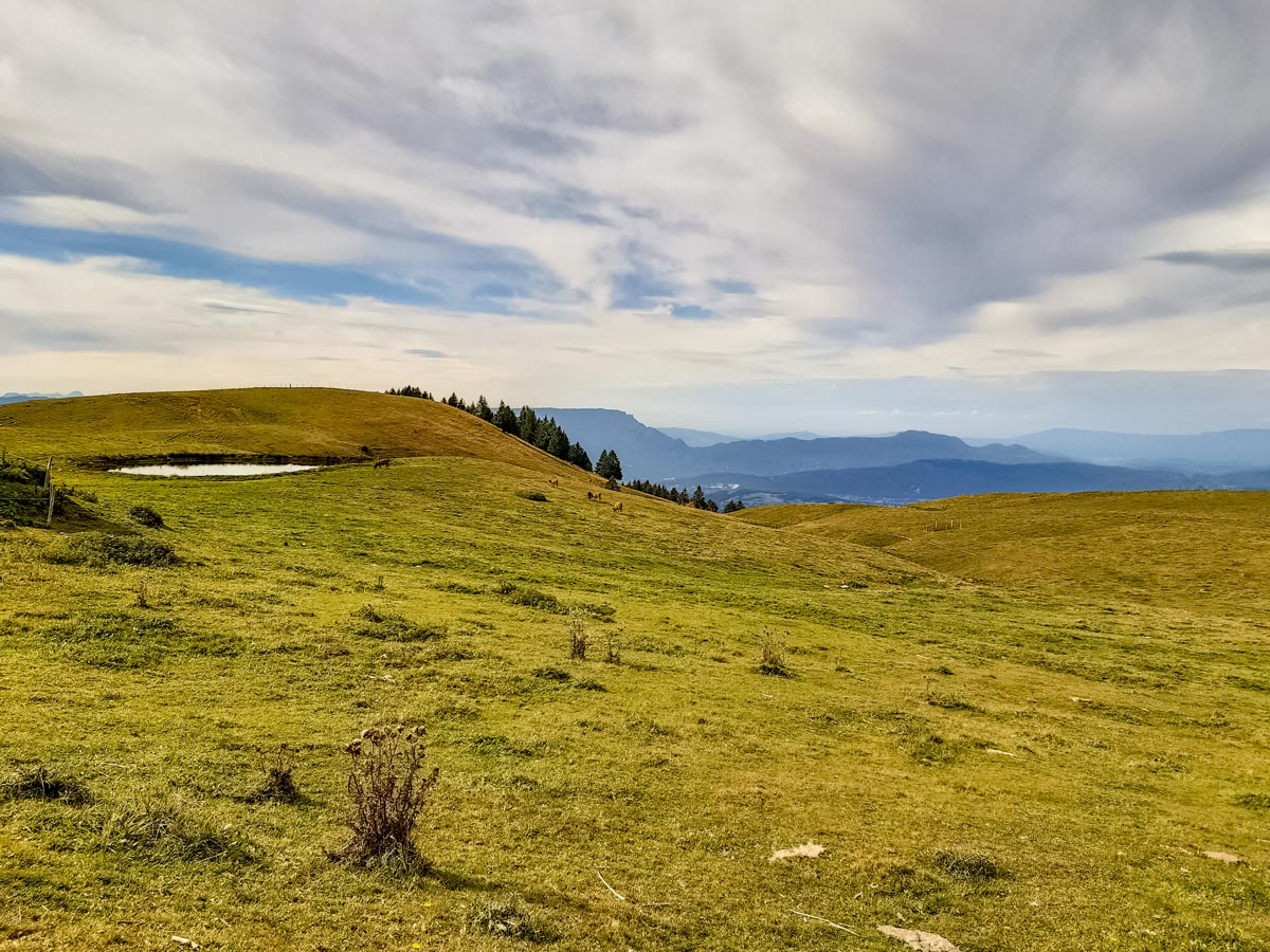
If you’re stopping for lunch or a drink, turn right for the Chalets de Gruffy, 328ft down the track. To continue hiking, turn left and follow the track up the hill until there’s a split to the right. Take the track to the right, passing a large wooden sign, and continue past the farming fields and pond.
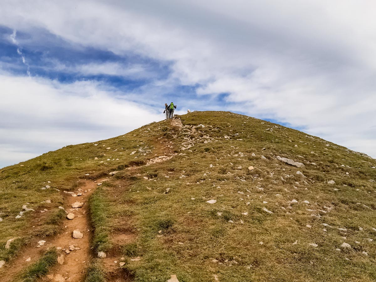
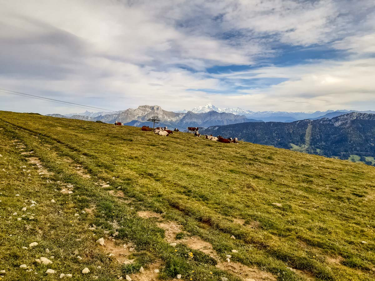
Before the farmhouse, take the small track to the left which is marked with a wooden ‘Pietons’ (pedestrians) sign. This track is the steepest part of the hike. Follow the track up to the large rocks at the top (Crêt de l’aigle), which make ideal seats for a picnic with a backdrop of Mont Blanc.
To return to the car park, continue down the other side of the rocky peak, and up the narrow path towards another ski lift. The dirt trail leads to a tree and another path. At the tree, turn left. The straight dirt track leads back to the main gravel road. When you reach the gravel road, turn right and stay on the road until you are back at the car park, passing between farm buildings along the way.
Insider Hints
Without public toilets or water along the track, make sure you are well prepared before you leave, or bring money for a drink (the restaurant owners watch carefully).
For a longer and steeper hike, start further down at the main ski resort car park, where all the trails that go up through the ski area lead to the summit where this hike starts.
Similar hikes to the Semnoz Hike hike
Refuge de La Bombardellaz
Like many hikes in the French Alps, this trail can be made shorter or longer depending on which path you…
Morette Waterfall
Hidden behind the cliff face and woody forest of the entrance of this short hike is a beautiful waterfall as…
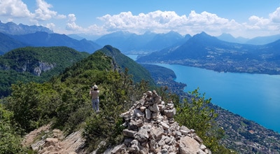
Mont Baron
Mont Baron offers a sweeping 360° vista, with Lake Annecy to the west and the foot of the Alps to…
Comments