Refuge de La Bombardellaz
View Photos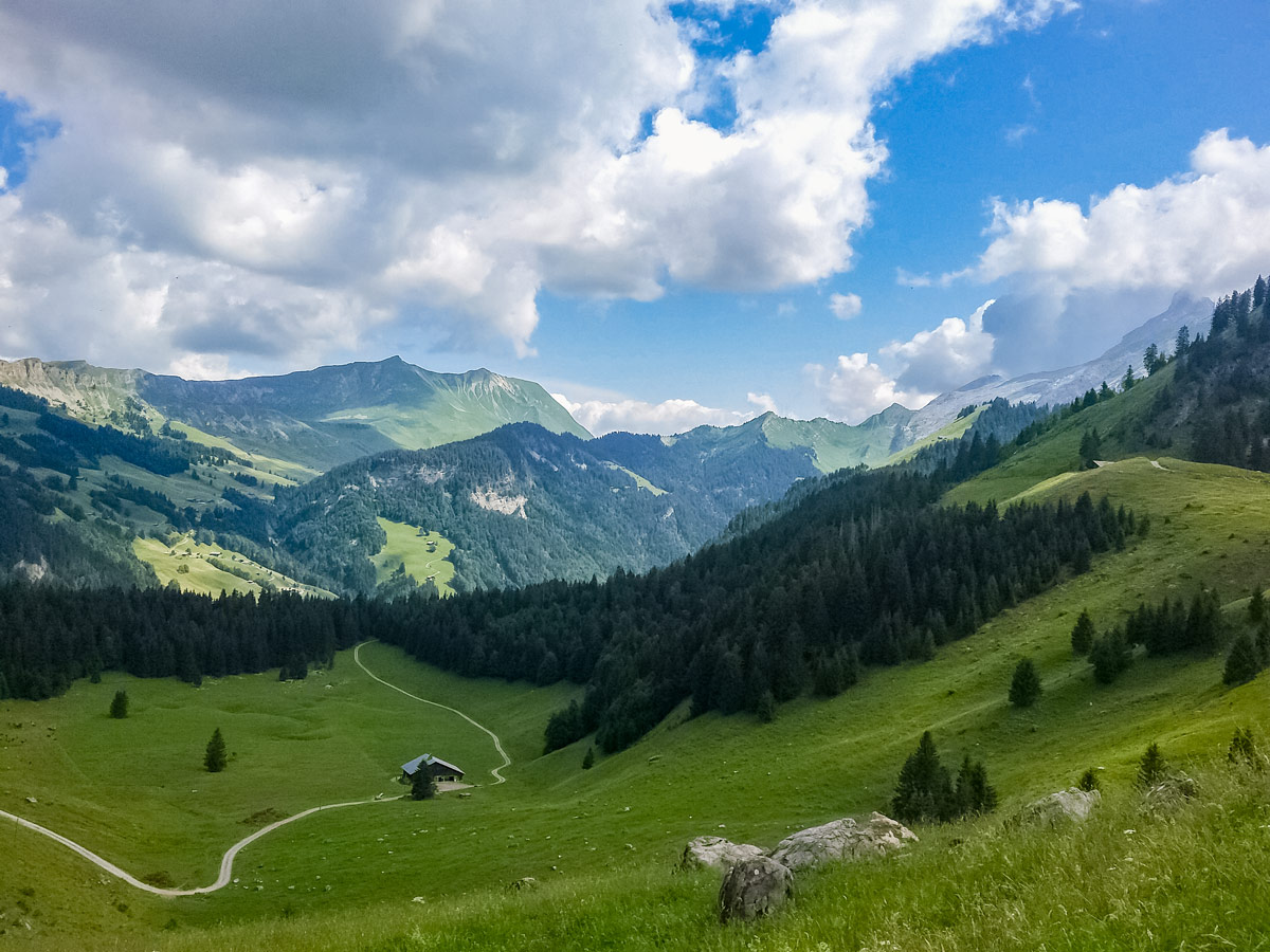
Refuge de La Bombardellaz
Difficulty Rating:
Like many hikes in the French Alps, this trail can be made shorter or longer depending on which path you choose. We pass the Refuge de La Bombardellaz before carrying on to complete a longer circuit in this hike. Follow the gravel access road most of the way to the refuge, making for a leisurely hour-long walk with a steady incline. Parents with off-road pushchairs might find some of the steeper sections difficult, but not impossible to navigate, and they should use the same path to return from the refuge.
Getting there
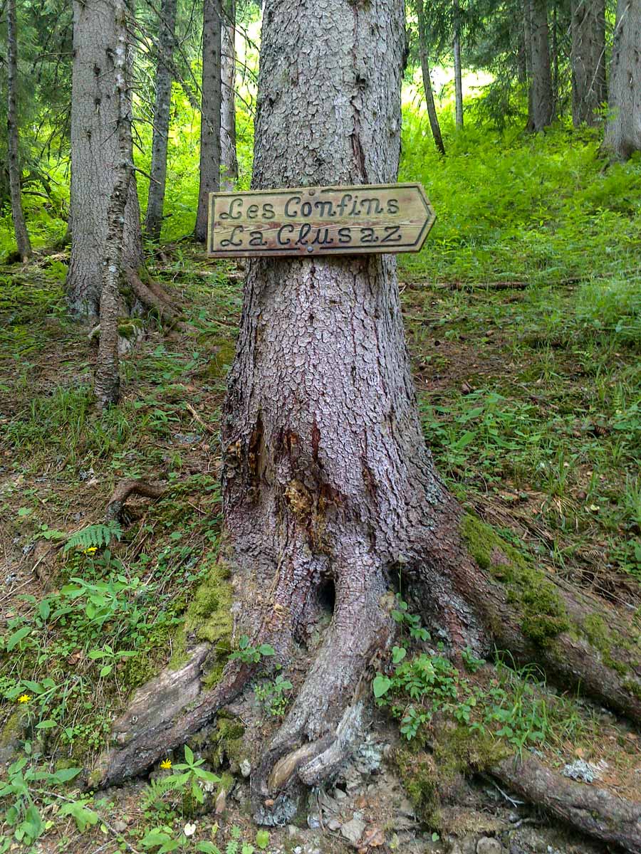
This hike begins from the car park at Les Confins next to the goat farm. It is easily accessible by both car and a local bus. By car, drive through Les Confins and continue until the sealed road turns sharply to the right and leads to a gravel car park on the left. By bus, take the C1 from La Clusaz to the last bus stop, called Confins Chapelle, and continue walking up the sealed road for five minutes to reach the car park.

About
| When to do | May - October, depending on snow |
| Backcountry Campsites | No |
| Toilets | Yes |
| Family friendly | Yes |
| Route Signage | Good |
| Crowd Levels | Moderate |
| Route Type | Lollipop |
Refuge de La Bombardellaz
Elevation Graph
Weather
Route Description for Refuge de La Bombardellaz
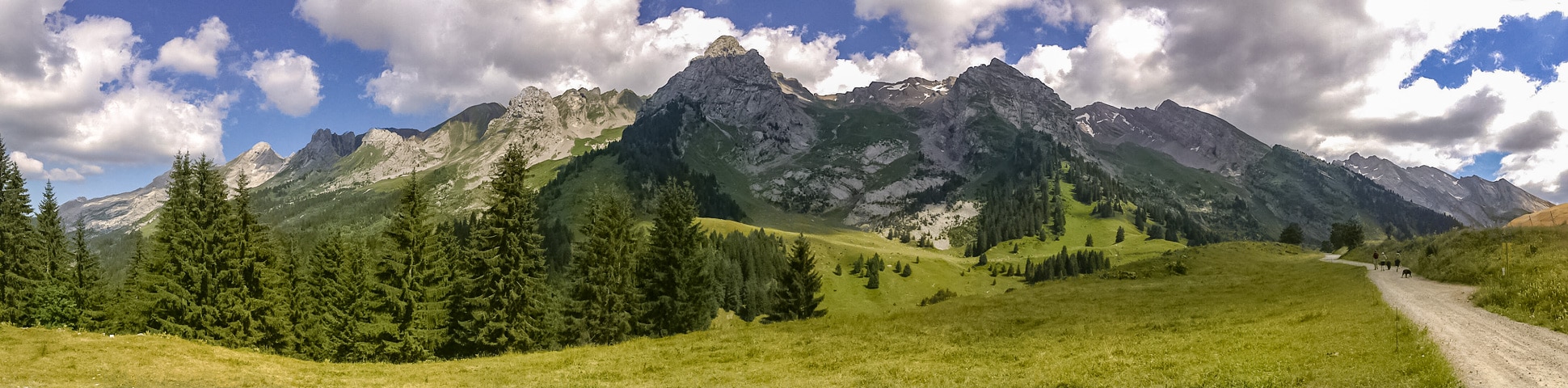
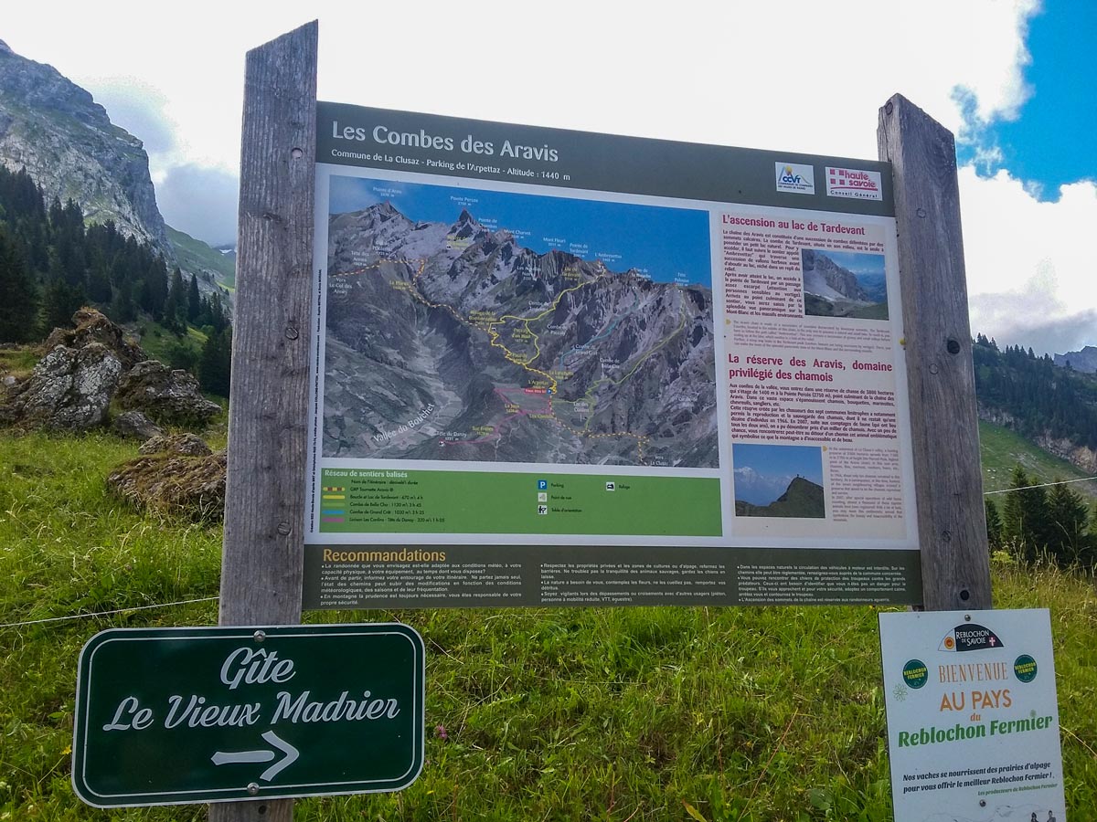
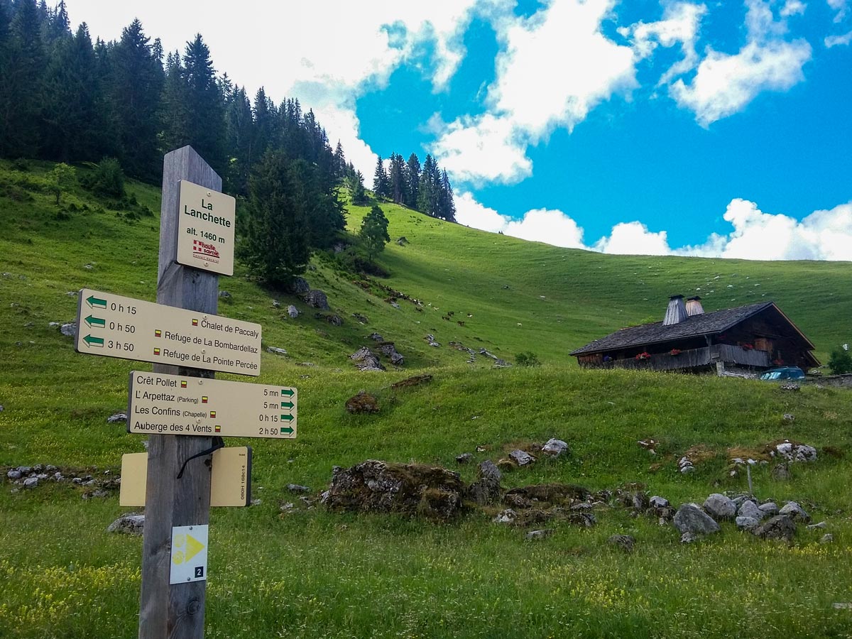
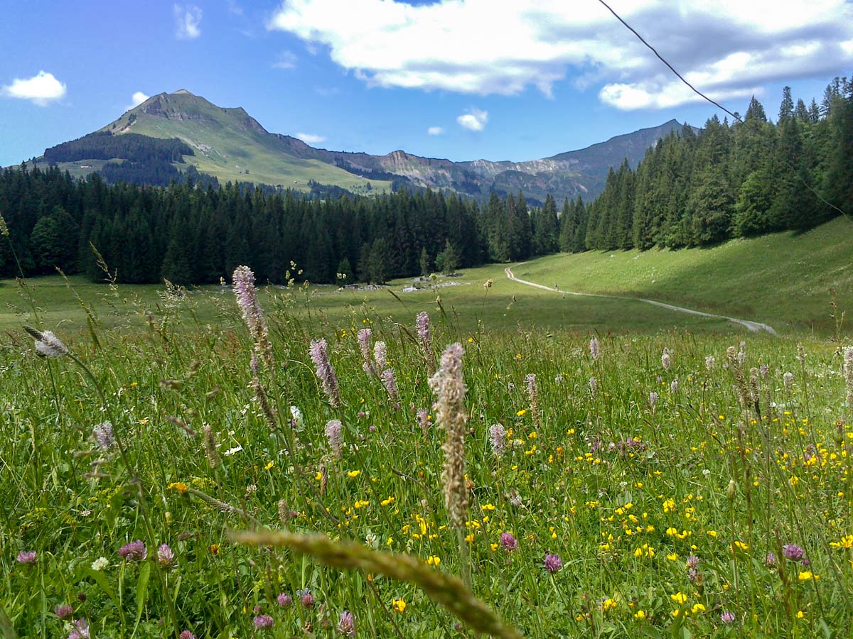
From the car park by the goat farm in Les Confins, walk up to the fork in the sealed road where you will see a signpost with a map called Les Combes des Aravis (the Aravis mountain peaks). The map shows some of the steep walks to the different peaks, as well as the trail to the Bombardellaz refuge.
Stay left on the road that winds up and to the left. The road soon turns to gravel as you pass picturesque chalets lower in the valley and the goats grazing in the summer fields higher up.
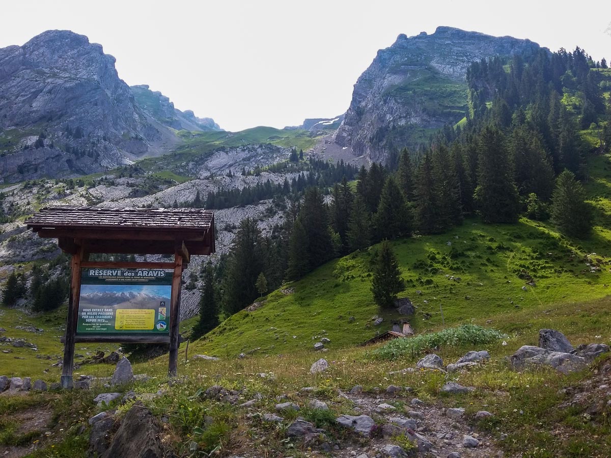
A few minutes later, you will pass another signpost for the Reserve des Aravis. This nature reserve covers 3747 hectares of peaks with wild animals and native flora. If you choose to extend this hike and enter this area, remember to keep your dog on a leash and stay on the foot trails. You may see mountain goats, deer, ibex, marmots and more!
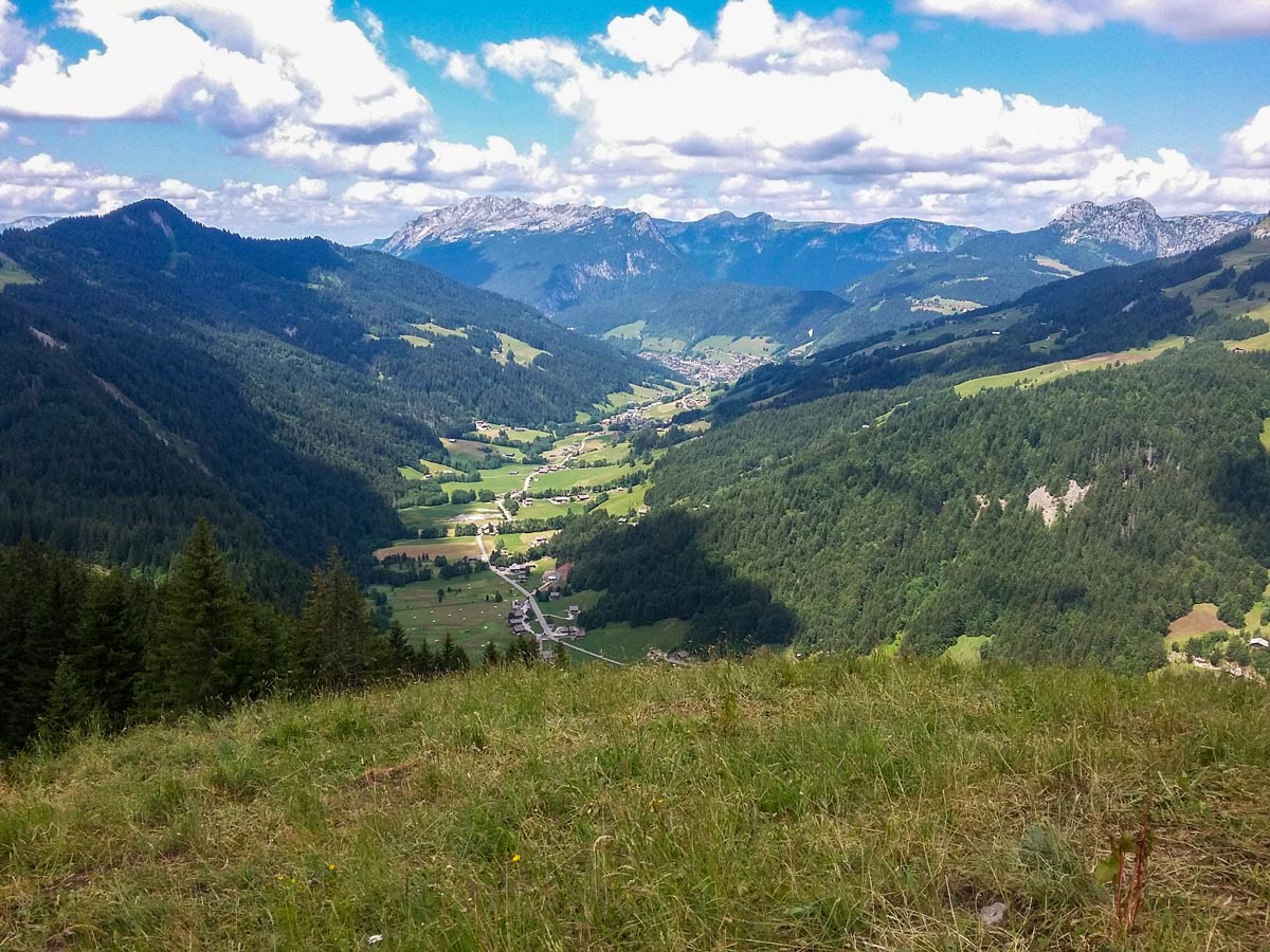
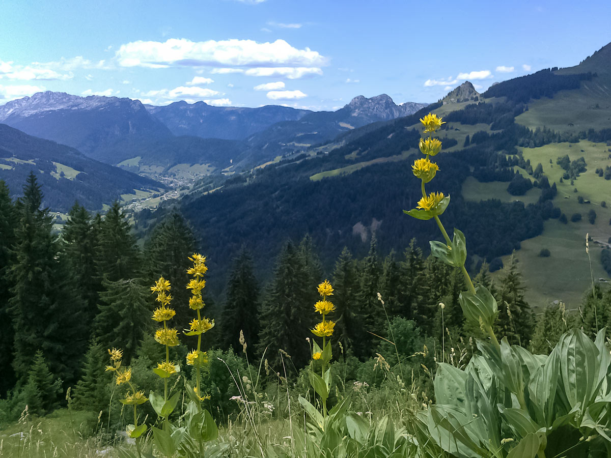
Back on the gravel track before the reserve signpost, continue past a few more chalets in the open fields, with scenic views of Le Grand Bornand ski village in the distant valley on the left.
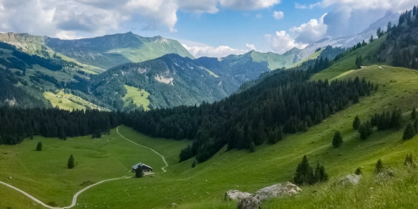
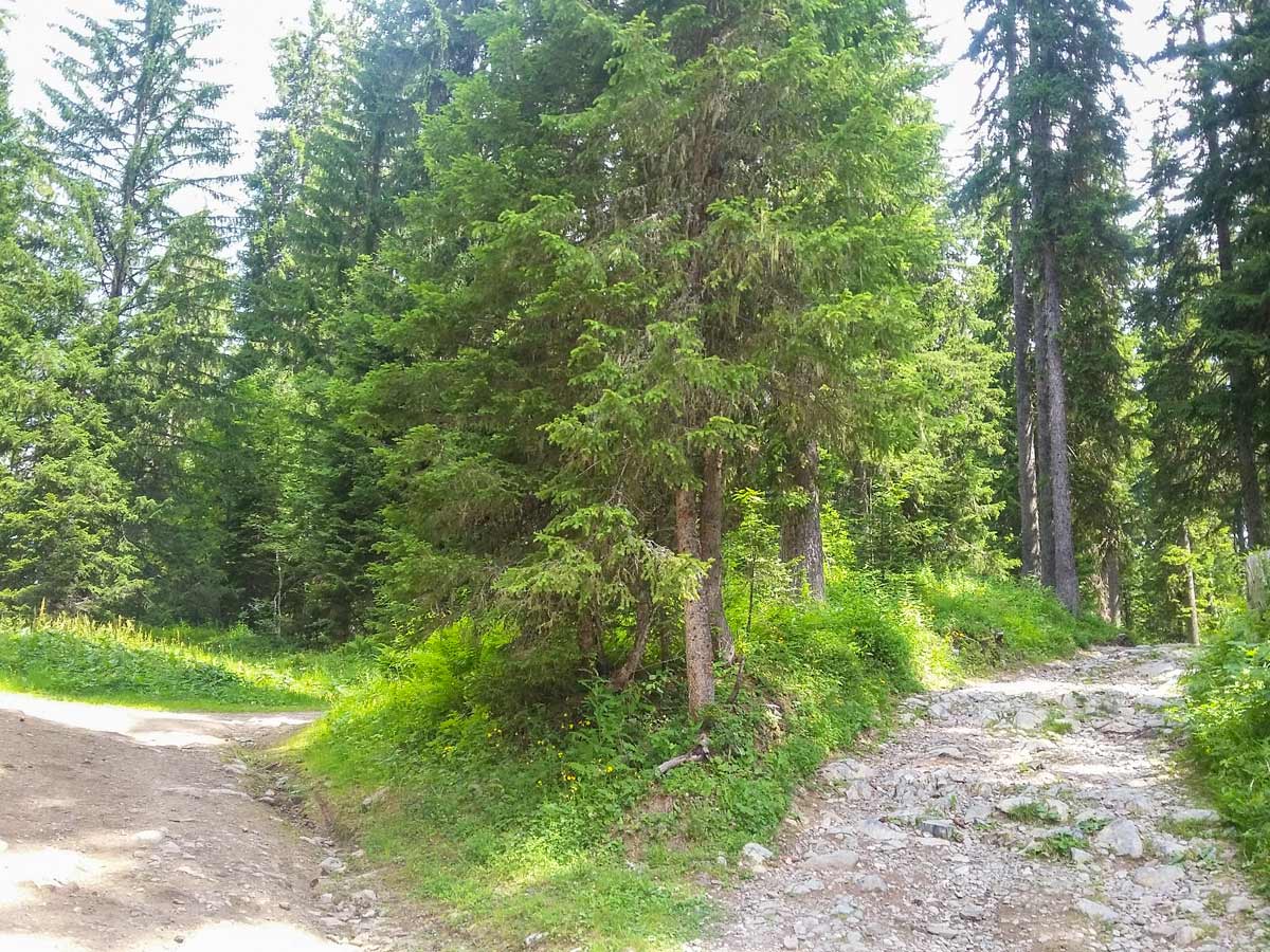
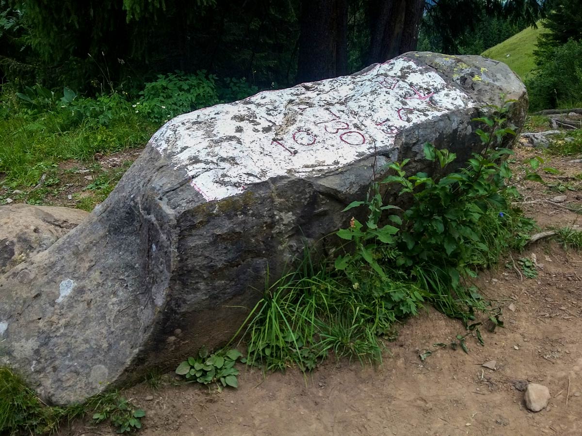
The trail eventually enters a forest where it splits every now and again. Unless specifically signposted, these splits reconnect. The trail also passes a large engraved rock that symbolises the end of a 300-year war between the villages of Le Grand Bornand and La Clusaz, placed in 1755 when the war ended.
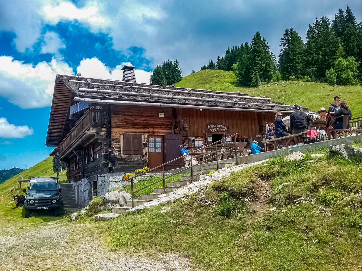
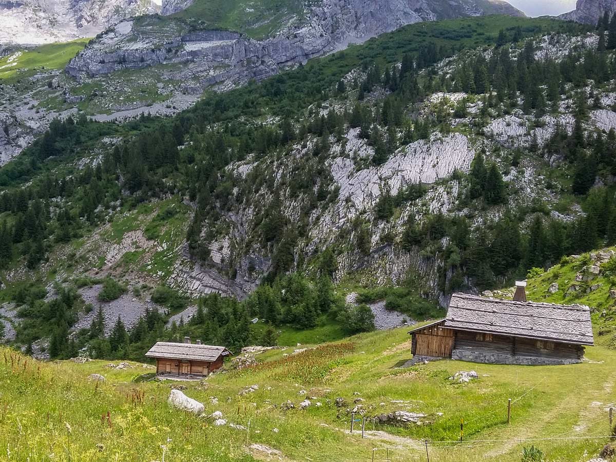
The woods get denser and the climb steeper as you near the refuge and look-out point. Upon arrival, take in the panoramic views with your own picnic from the benches, or walk up the stairs to the refuge for a refreshment or lunch on the terrace.
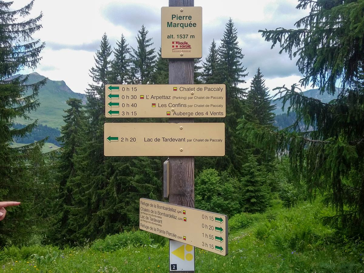
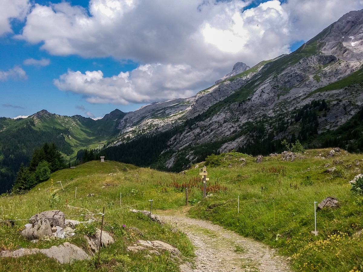
Carry on along the wide track to the left of the refuge. After five minutes, you’ll see a cluster of chalets on your left and perhaps some cows, and this is where our walk continues. These chalets make up the tiny hamlet of Bombardellaz. But first, look ahead to a small shrine on a hill. By all means, walk to the shrine to take in the 360° views. Do not continue further along the main road, which leads you over to the Col des Annes. Instead, walk back to the cluster of chalets and follow the signpost direction for Pierre Marquée (Direct). To do this, open the cow gate by the small trail down the hill.
After a few fields, the trial enters the forest, where it zig-zags down steeply. If this becomes too much, you can return to the previous circuit about halfway down, where it joins at the engraved rock.
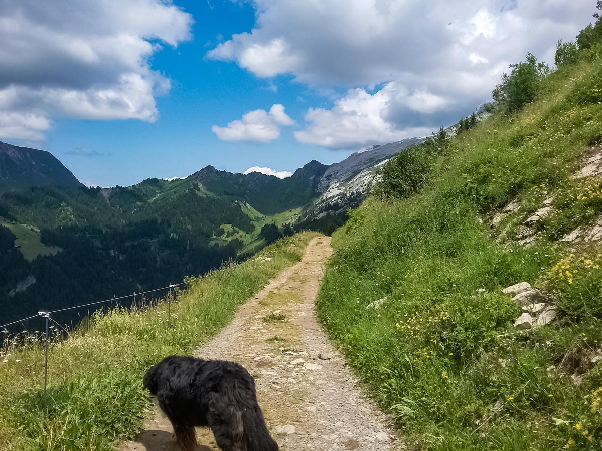
For the longer walk described here, follow the track behind the rock, signposted for Vallée du Buchet and Les Confins. This track continues to zig-zag down the hill: follow signs for Les Confins whenever there’s a choice. The woods eventually open to fields at the bottom of the valley, where the car park at Les Confins is visible up ahead. Follow the trail past another chalet, then continue up the wide track which takes you back to the car park.
Insider Hints
Although the full circuit isn’t accessible for push-chairs, the wide access road can be used to get as far as the shrine just past the refuge.
There are plenty of side trails to explore here for the various peaks along the Aravis chain. A popular one is Lake Tardevant, but make sure you leave enough time to get there and back.
When reading the signposts, you might see Refuge de La Bombardellaz and Chalets de la Bombardellaz shown. They’re not the same place! The refuge is five minutes before the chalets.
If you wish to explore more of the peaks, you can stay overnight at the Bombardellaz refuge (open mid-June to end of October) and hike up from there.
Don’t forget to visit the goat farm at the end of your hike to buy some of the local fresh and aged goats cheeses.
Use the dry toilet at the car park or a plumbed toilet at the refuge.
Similar hikes to the Refuge de La Bombardellaz hike
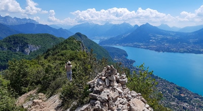
Mont Baron
Mont Baron offers a sweeping 360° vista, with Lake Annecy to the west and the foot of the Alps to…
Angon Waterfall
This hike is packed with interesting stops — a vertiginous waterfall, a picturesque fairy bridge, breathtaking views over Lake Annecy,…
Col de Borneronde Hike
If you’re looking to escape the crowds and the harsh summer sun, head to the Bois de la Duche forest…
Comments