

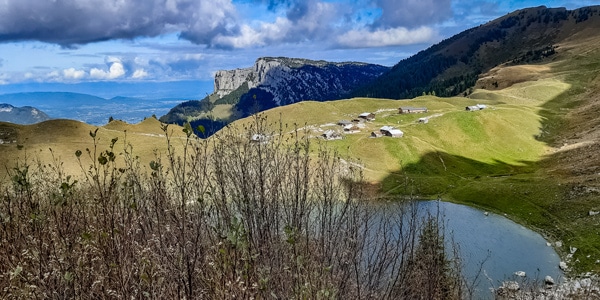
Lac de Lessy
View PhotosLac de Lessy
Difficulty Rating:
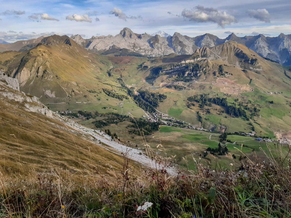
Lac de Lessy is a classic place for wildlife spotting, and it’s well known for the loud calls of stags as dusk approaches. If you take the route from Chinaillon on a clear day, the peak before the lake provides views of Mont Blanc in one direction and Lac Leman in Switzerland in the other.
This hike takes the challenging path up the face of the peak and returns along the longer and gentler route back, but many other trails are available if you’re organised enough to arrange transport from different start- and end-points. It’s also possible to follow the easier main path used for the return if you prefer (or if you suffer from vertigo).
Getting there
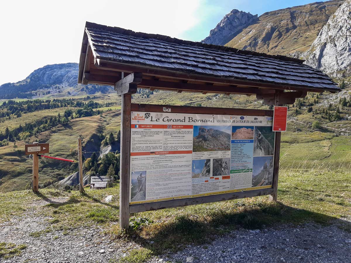
Lac de Lessy is accessible from different valleys. This hike takes the route from Chinaillon, close to l’Aguille Verte, so leave the car in the via ferrata car on the Col de la Colombière. If you’re approaching Le Grand Bornand, this will be on your left with a large panel before you reach the highest point of the pass.
About
| When to do | mid-April — end of September |
| Backcountry Campsites | Yes |
| Toilets | No toilets at the car park, but there are toilets at the lakeside cafe and refuge |
| Family friendly | Yes |
| Route Signage | Poor |
| Crowd Levels | Moderate |
| Route Type | Lollipop |
Lac de Lessy
Elevation Graph
Weather
Route Description for Lac de Lessy
Look for the via ferrata entrance beside the panel in the car park and walk through the gate and along the path going downhill. The path splits several times, but there’s only one bridge, which you need to cross.
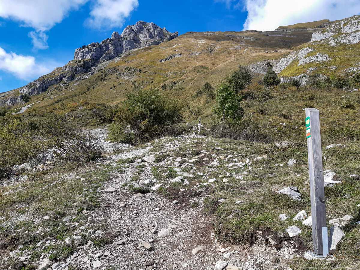
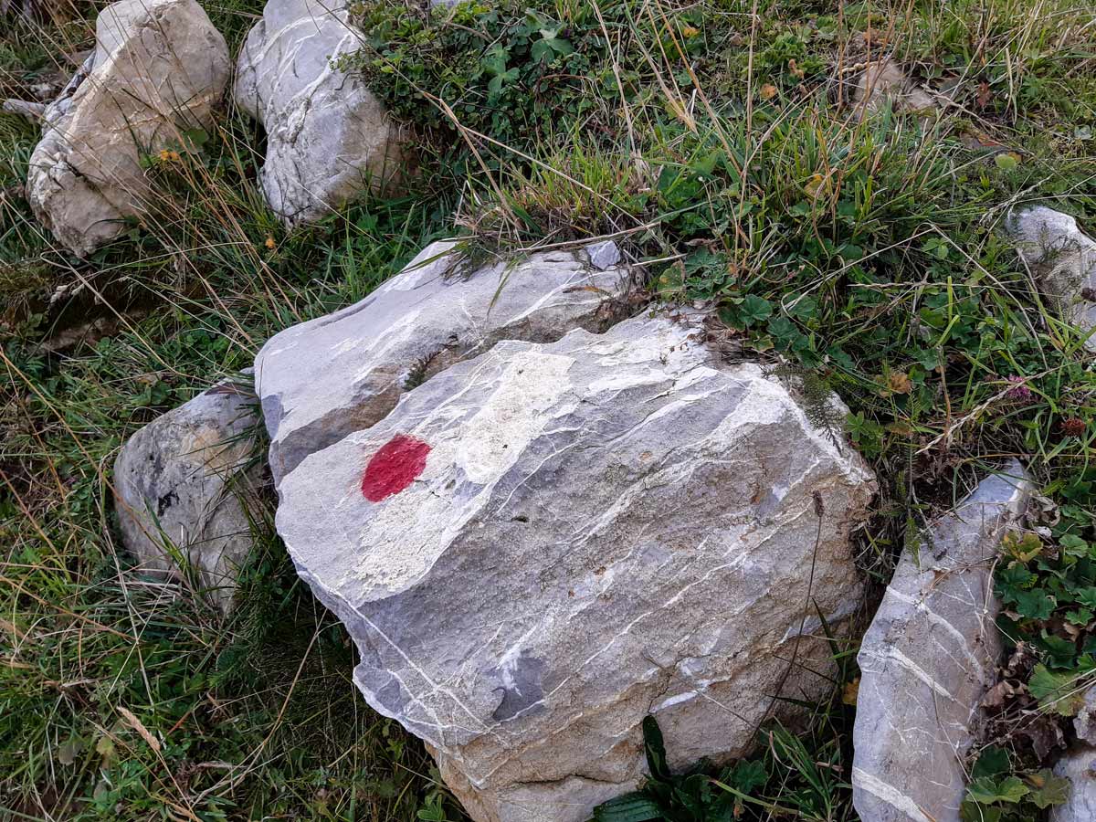
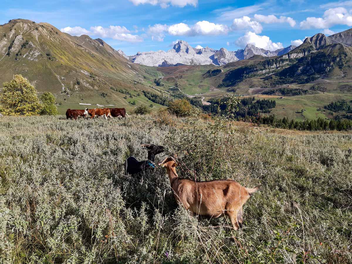
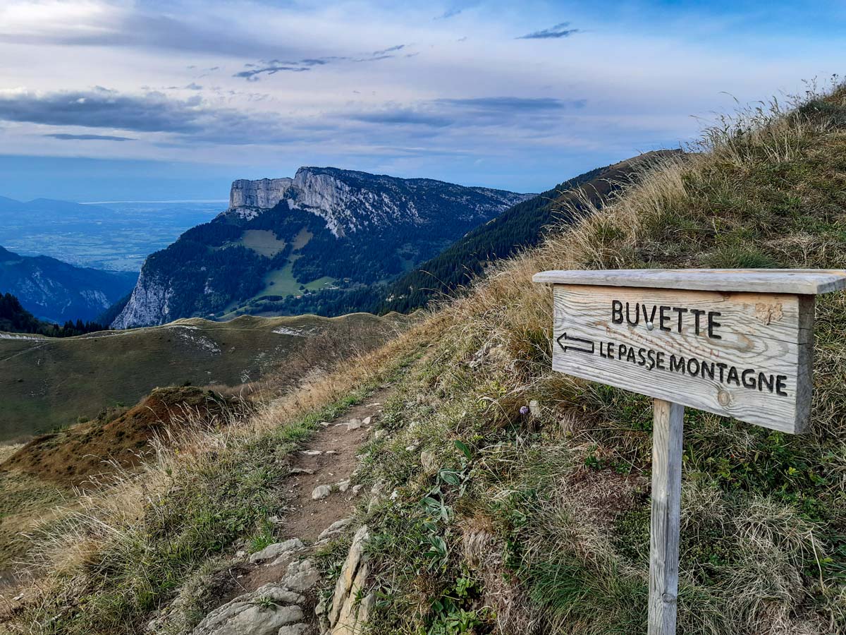
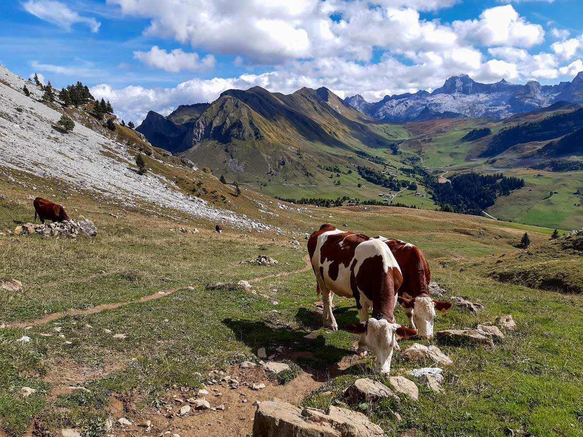
Over the bridge, head to the signpost and follow the signs to Lac de Lessy, through another cattle gate. From here, signage is very poor and it’s easy to walk through fields of grazing cows and goats. The track is wide enough for a four-wheel drive, but look for large white rock where the track splits to a steeper path and take that track. As you continue, look for any wooden posts or rocks with a white and red horizontal stripe which indicate you’re following the correct route.
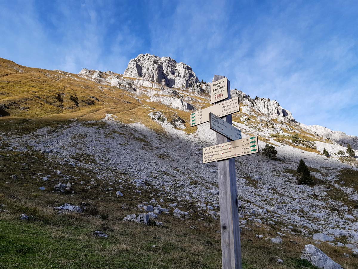
Walk over the loose rubble and carry on traversing several fields which might also contain grazing farm animals until you reach the signpost for the Bassins de Samance. Follow the direction for Lac de Lessy, looking out for mountain goats and large birds. You might also hear marmots.
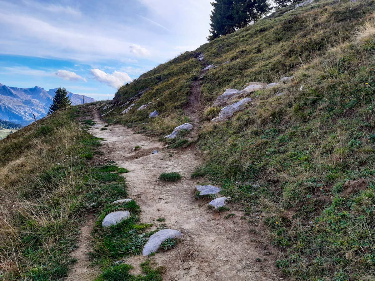
About ten minutes after the signpost, you’ll see a small group of trees on a rocky mound. Look for a small path off to the right before the trees and take this path if you wish to do the steep incline of this hike (otherwise, follow the main path which will take you the longer, less steep way around). Once you’re on the steep track, you can follow it to the top of the ridge without crossing other tracks.
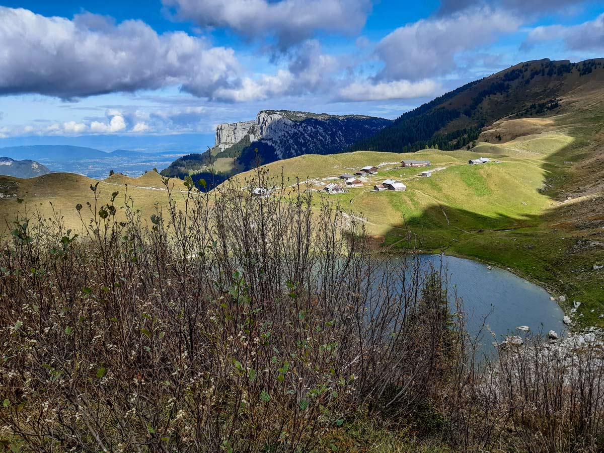
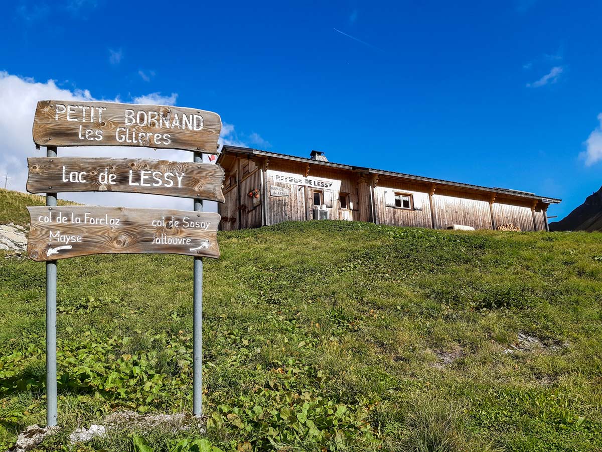
At the ridge, where you might see Mont Blanc and Lac Leman, continue over the other side and follow the track down and to the right until you reach the lake. There is a café/restaurant nearby, as well as the overnight refuge which is usually open from mid-April to mid-September. Continue to climb up the hill behind the refuge to look for more wildlife and to listen for the sounds of stags.
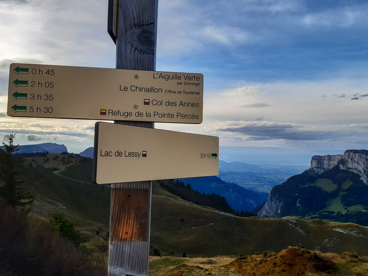
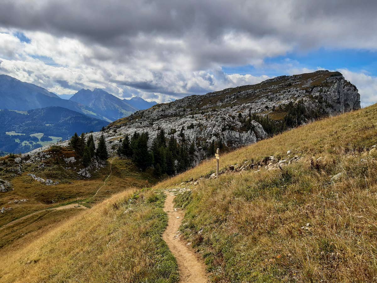
When you’re ready to hike out, follow the same path back to the top of the high ridge. Instead of taking the steep path down, follow the trail to the right, which leads towards Aguille Verte. The route splits into a high and a low track, which both join up again further along. After rocky sections and open grassy fields for about 40 minutes, a crossroad gives you the option for a ten-minute detour to the top of Aguille Verte for views of the region from a higher lookout. Turn right for the quick detour, or left to continue down the main path back, following any signposts for Chinaillon.
Keep an eye out for mountain goats on the rocky outcrops to the right before you join the path from the hike up. Continue along the same path until you’re back at the car park.
Insider Hints
It’s well worth staying at the refuge overnight to allow time in the evening to hear the stags without having to hike down in the dark (check refuge opening and closing dates, which is weather dependent, and book well in advance).
Lac de Lessy is also accessible by a narrow four-wheel drive track from Entremont, but it is only used by locals who know it well. There’s a car park close to Entremont where you can leave the car and hike up the gravel road if you prefer the wider track.
Be aware that mountain bikers sometimes use these paths too.
If you do get lost on the poorly-marked trails, these open fields mean you can easily see where you are meant to be — and hike there.
Bring binoculars for spotting wildlife!
Wild camping is allowed.
Similar hikes to the Lac de Lessy hike
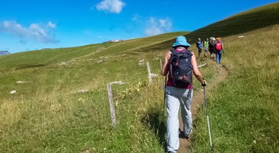
Lac du Mont Charvin
It would be easy to overlook this hike on face value: the lake is small and green; the starting point…
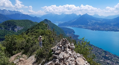
Mont Baron
Mont Baron offers a sweeping 360° vista, with Lake Annecy to the west and the foot of the Alps to…
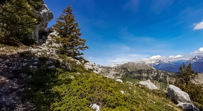
Plateau des Glieres: Three Têtes Hike
With jetting mountain peaks covered in a carpet of green and unforgettable valley and lake views, the Plateau des Glières…


Comments