Strawberry Peak Trail
View Photos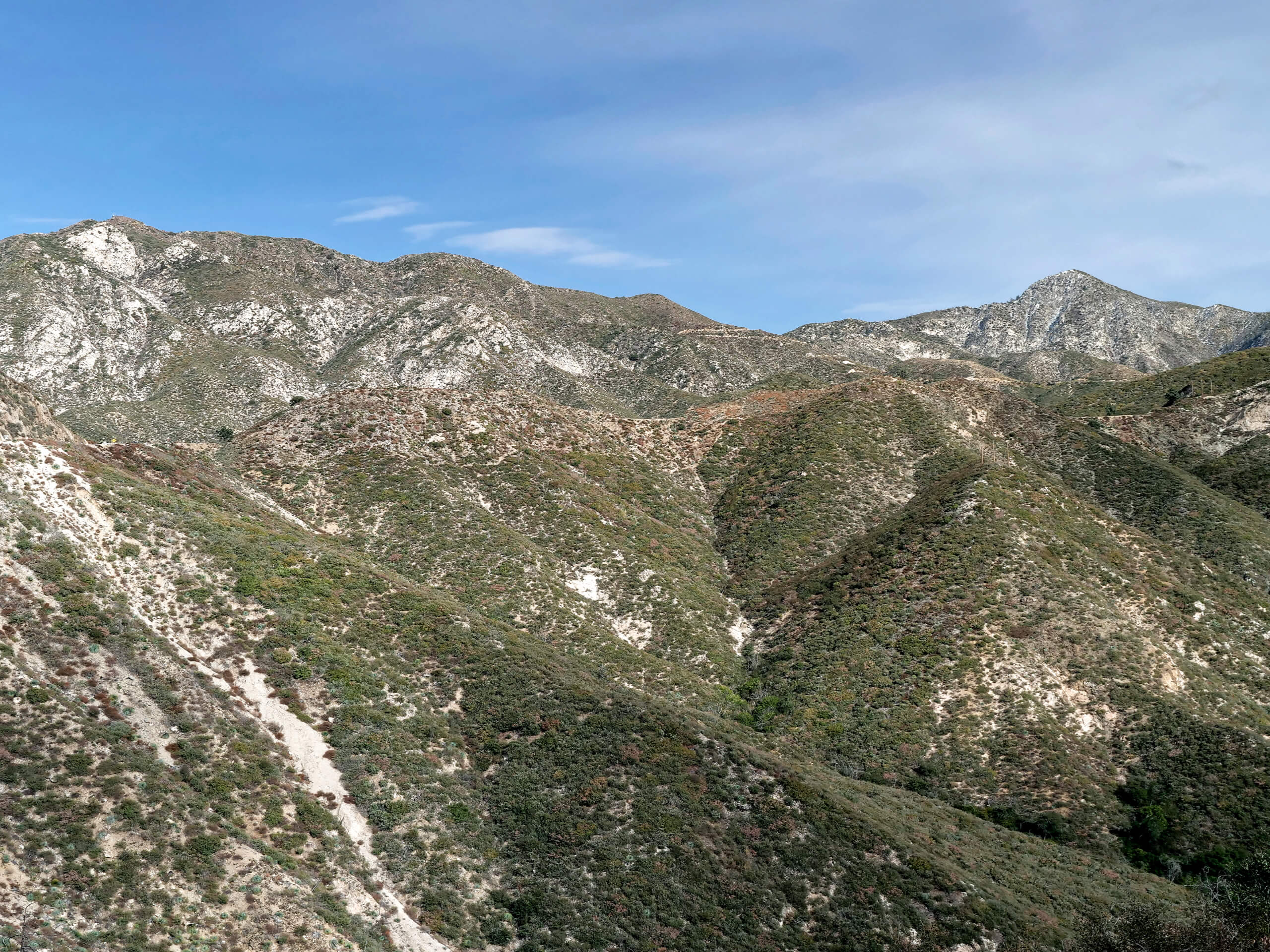
Strawberry Peak Trail
Difficulty Rating:
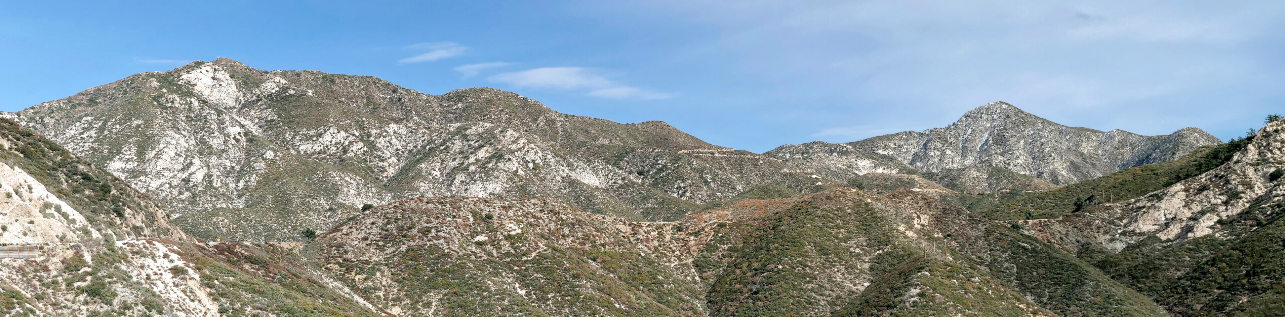
The Strawberry Peak Trail is a challenging Southern California hiking route that will see you reach a summit vantage point with stunning views. While out on the trail, you will gain elevation across the mountainous landscape and push on to the summit of Strawberry Peak, where you will enjoy an incredible sightline across the peaks, valles, and woodlands of the Angeles National Forest. The road leading into the trailhead is closed seasonally, so make sure to check on its status prior to setting out on your hike.
Getting there
The Strawberry Peak Trail can be accessed from the Red Box Picnic Area along CA-2.

About
| Backcountry Campground | No |
| When to do | May-October |
| Pets allowed | Yes - On Leash |
| Family friendly | No |
| Route Signage | Average |
| Crowd Levels | High |
| Route Type | Out and back |
Strawberry Peak Trail
Elevation Graph
Weather
Strawberry Peak Trail Description
Although the Strawberry Peak Trail features some rugged terrain with a fair amount of elevation gain, it is a very popular hiking route in Los Angeles County and is certainly worth the trip if you find yourself in the area.
From the Red Box Picnic Area, you will make your way across the road and pick up the trail, following it uphill to the northeast. Traversing the lower slopes of Mount Lawlor, the trail will bend to the northwest towards Strawberry Peak.
Here, you will continue to steadily gain elevation, as you traverse the mountainous landscape in order to reach the summit of Strawberry Peak, where you will be met by sweeping views across Southern California. After taking in the views, carefully head back downhill along the same route to return to the trailhead.
Similar hikes to the Strawberry Peak Trail hike

Mount Zion via Lower Winter Creek Trail Loop
The Mount Zion via Lower Winter Creek Trail Loop is a physically demanding Southern California adventure that features waterfall and…

Sunset Peak Alternate Approach Hike
The Sunset Peak Alternate Approach Hike is a great intermediate-length route in Southern California that features some gorgeous canyon views.…
Register Ridge to Mount San Antonio Hike
The Register Ridge to Mount San Antonio Hike is equal parts scenic and incredibly challenging. While out on the trail,…
Comments