San Antonio Falls Trail
View Photos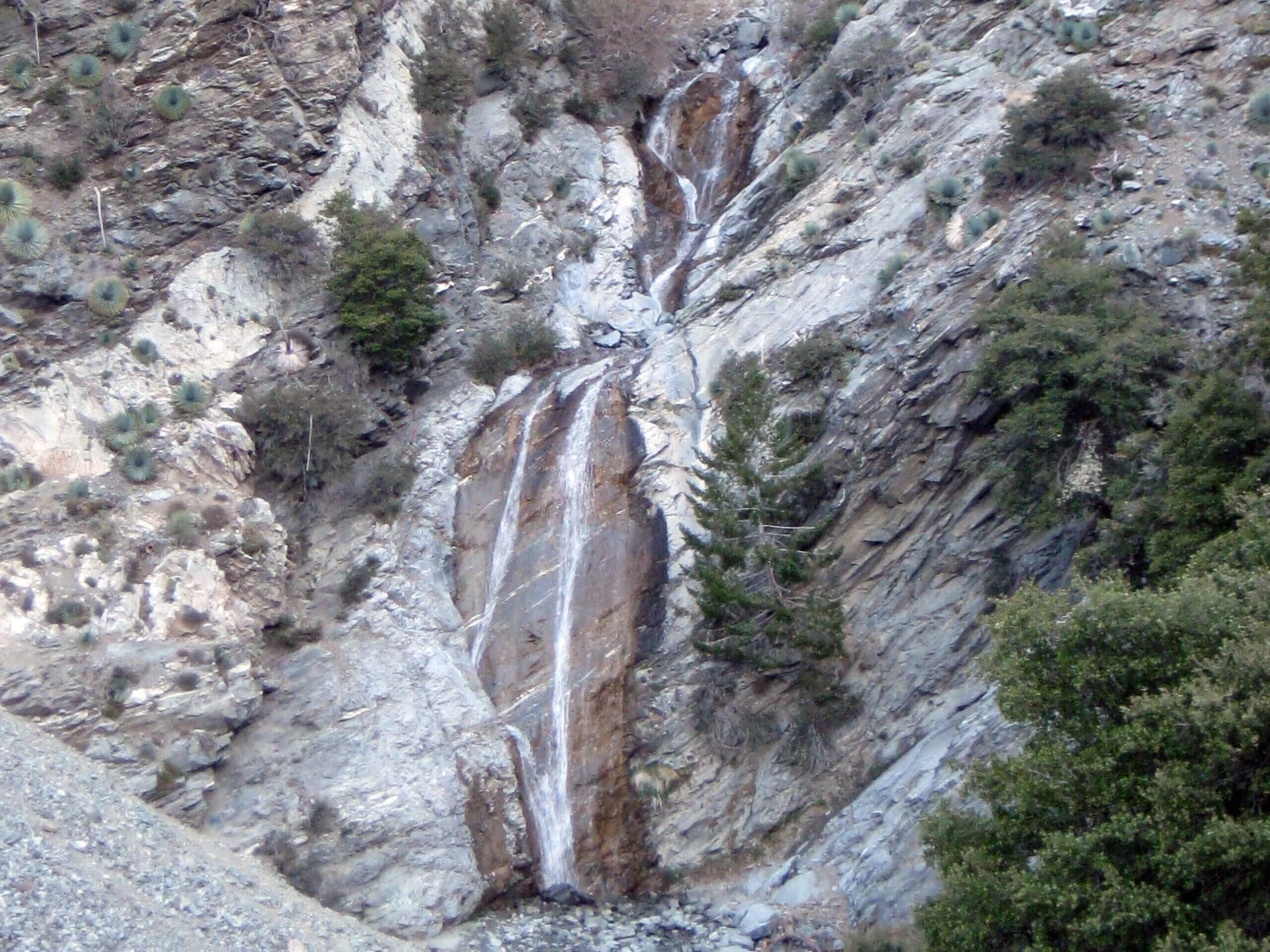
San Antonio Falls Trail
Difficulty Rating:
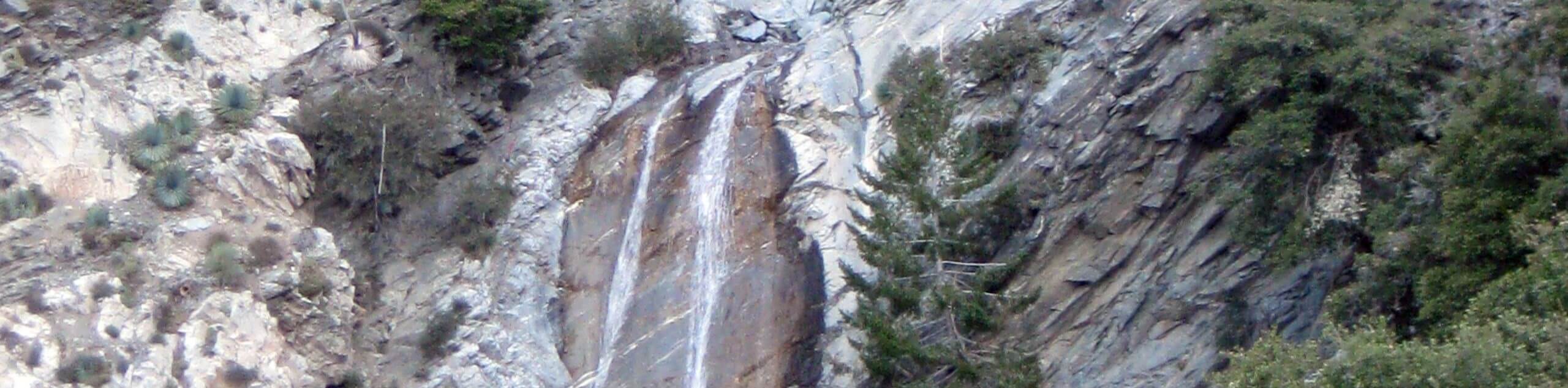
Hiking the San Antonio Falls Trail is a laid back, family-friendly experience in Southern California that will produce stunning views of a waterfall with little required effort. While out on this hike, you will make your way along Falls Road for a short distance, before arriving at the viewpoint to take in the beauty of the San Antonio Falls. Although it is possible to hike this route year-round, it is best done in the spring when the cascades of the falls are at their strongest and most visually appealing.
Getting there
The trailhead for this hike can be found along Mt Baldy Road at the junction with Falls Road.

About
| Backcountry Campground | No |
| When to do | Year-Round |
| Pets allowed | Yes - On Leash |
| Family friendly | Yes |
| Route Signage | Average |
| Crowd Levels | High |
| Route Type | Out and back |
San Antonio Falls Trail
Elevation Graph
Weather
San Antonio Falls Trail Description
If you are after a long and strenuous hike, then the San Antonio Falls Trail is not for you; however, if you want to complete a short journey to a viewpoint overlooking a scenic waterfall, then you are in luck! Just be sure to display your adventure pass in your vehicle prior to beginning your hiking excursion.
Setting out from the trailhead, you will follow along Falls Road as it leads to the northwest across the forested landscape. The route only climbs slightly, so take your time and enjoy the relaxing atmosphere on the way to the viewpoint for the San Antonio Falls.
After pausing to admire the natural beauty of the cascade, simply turn back along the same route to make your way back to your vehicle.
Similar hikes to the San Antonio Falls Trail hike

Castaic Falls Trail
Hiking the Castaic Falls Trail is a fun little adventure in the Angeles National Forest that features a charming waterfall.…

Graveyard Truck Trail
Hiking the Graveyard Truck Trail is a pleasant experience in Southern California that features easy-going terrain and views of the…

Sunset Peak Alternate Approach Hike
The Sunset Peak Alternate Approach Hike is a great intermediate-length route in Southern California that features some gorgeous canyon views.…
Comments