Mount Lowe Railway Loop Trail
View Photos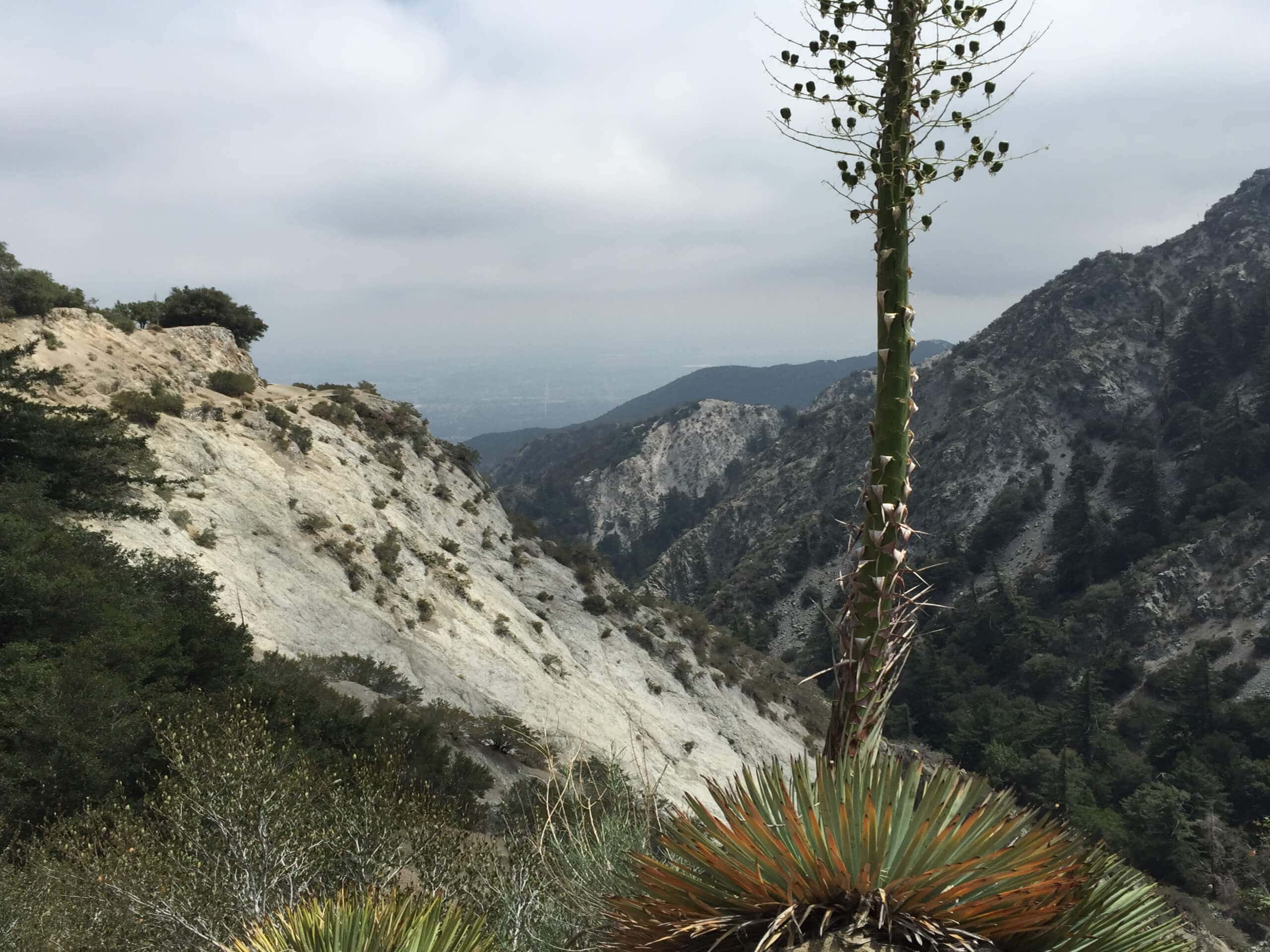
Mount Lowe Railway Loop Trail
Difficulty Rating:
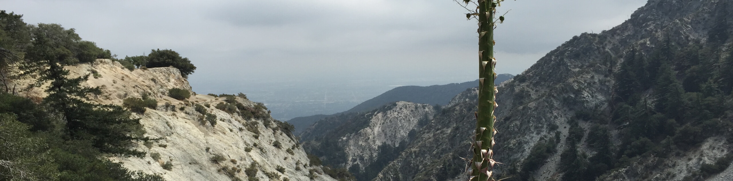
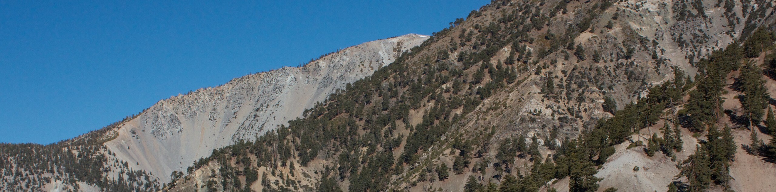
The Mount Lowe Railway Loop Trail is a great hiking route in Angeles National Forest that climbs into the mountains and visits historical sites. While out on the trail, you will make your way through Millard Canyon and enjoy views of the surrounding mountains, before visiting some historical ruins scattered throughout the area, such as Ye Alpine Tavern. Make sure that you present a valid adventure pass in your vehicle prior to your hiking excursion.
Getting there
The starting point for the Mount Lowe Railway Loop Trail can be found at the junction between the Brown Mountain Truck Trail and the Chaney Trail, just north of Altadena.

About
| Backcountry Campground | Mount Lowe Trail Camp, Millard Camp |
| When to do | Year-Round |
| Pets allowed | Yes - On Leash |
| Family friendly | No |
| Route Signage | Average |
| Crowd Levels | High |
| Route Type | Lollipop |
Mount Lowe Railway Loop Trail
Elevation Graph
Weather
Mount Lowe Railway Loop Trail Description
For those adventurers who enjoy exploring challenging terrain, taking in stunning views, and visiting interesting historical sites, the Mount Lowe Railway Loop Trail is the perfect hiking route for a fun afternoon on the trails.
Setting out from the trailhead, you will follow the Mount Lowe Motorway to the northeast as it gains elevation along Sunset Ridge and eventually descends into the Mount Lowe Trail Camp, where you will find the site of Ye Alpine Tavern, which was originally constructed in 1898 and burned down in 1939.
From here, you will head southeast to Inspiration Point for some beautiful views, before turning to the southwest on the way to the ruins of the Mount Lowe Observatory near Echo Mountain. Follow the trail as it turns northwest and meets back up with the Mount Lowe Motorway, which you can follow back to the trailhead where you began.
Similar hikes to the Mount Lowe Railway Loop Trail hike

Mount Zion via Lower Winter Creek Trail Loop
The Mount Zion via Lower Winter Creek Trail Loop is a physically demanding Southern California adventure that features waterfall and…

Sunset Peak Alternate Approach Hike
The Sunset Peak Alternate Approach Hike is a great intermediate-length route in Southern California that features some gorgeous canyon views.…
Register Ridge to Mount San Antonio Hike
The Register Ridge to Mount San Antonio Hike is equal parts scenic and incredibly challenging. While out on the trail,…
Comments