Big Dalton Canyon Trail
View Photos
Big Dalton Canyon Trail
Difficulty Rating:
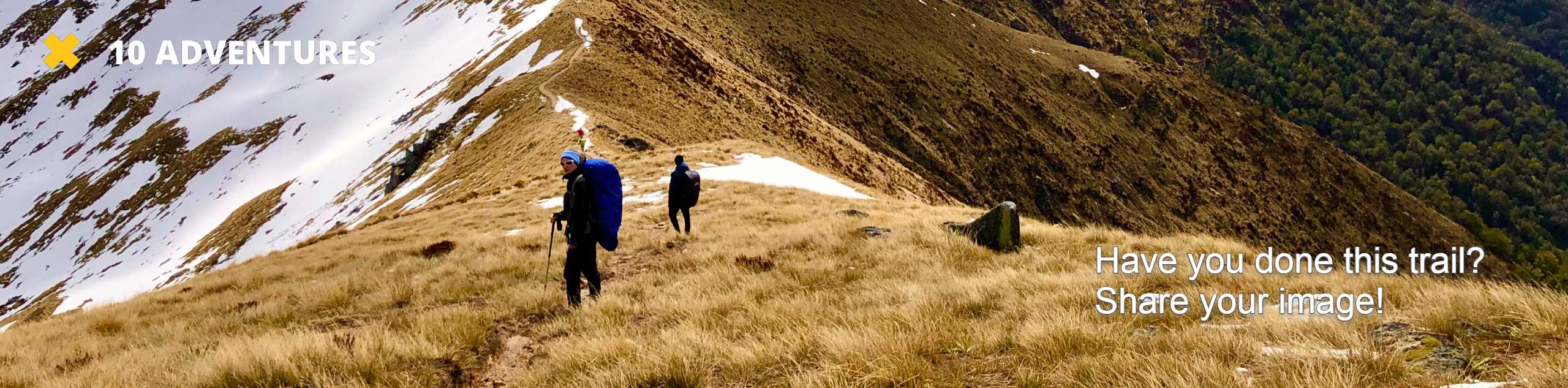
Hiking the Big Dalton Canyon Trail is a fun experience in the Angeles National Forest of California that will get you outdoors for a breath of fresh air. While out on the trail, you will meander along a winding trail with little elevation gain, all while taking in the beautiful canyon views surrounding you. Be sure to have your adventure pass visible in your vehicle prior to starting your hike.
Getting there
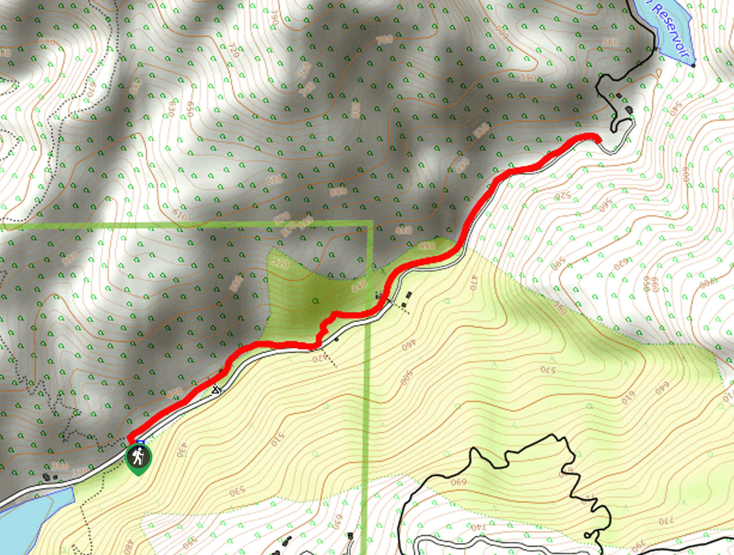
The starting point for the Big Dalton Canyon Trail can be found along Big Dalton Canyon Road, just outside of Glendora, California.

About
| Backcountry Campground | Big Dalton Campground |
| When to do | March-October |
| Pets allowed | Yes - On Leash |
| Family friendly | Yes |
| Route Signage | Average |
| Crowd Levels | Moderate |
| Route Type | Out and back |
Big Dalton Canyon Trail
Elevation Graph
Weather
Big Dalton Canyon Trail Description
Perfectly suited for a quick and easy family outing, the Big Dalton Canyon Trail is ideal if you simply want to experience the beauty of the outdoors without too much fuss.
Setting out from the trailhead, you will follow along the winding path as it leads into the heart of Big Dalton Canyon to the northeast.
After taking in the scenic views and arriving at the end of the trail near the Big Dalton Reservoir, simply turn back along the path to return to the trailhead.
Similar hikes to the Big Dalton Canyon Trail hike

Castaic Falls Trail
Hiking the Castaic Falls Trail is a fun little adventure in the Angeles National Forest that features a charming waterfall.…

Graveyard Truck Trail
Hiking the Graveyard Truck Trail is a pleasant experience in Southern California that features easy-going terrain and views of the…

Sunset Peak Alternate Approach Hike
The Sunset Peak Alternate Approach Hike is a great intermediate-length route in Southern California that features some gorgeous canyon views.…
Comments