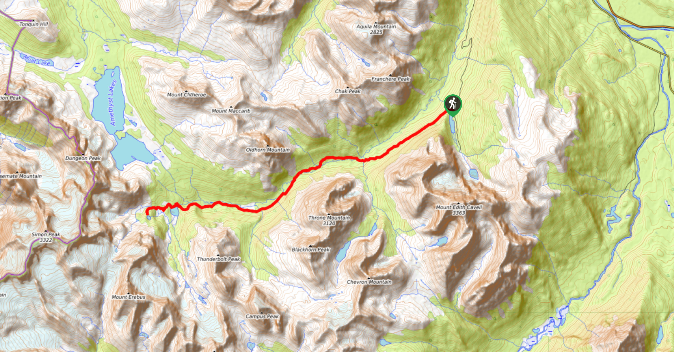
Cairn Pass backpacking trail
View Photos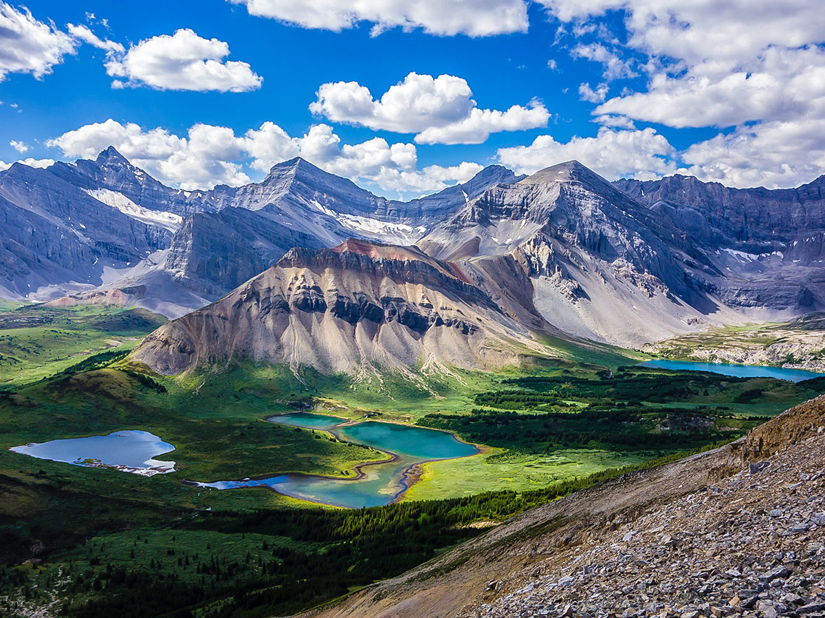


Cairn Pass backpacking trail
Difficulty Rating:
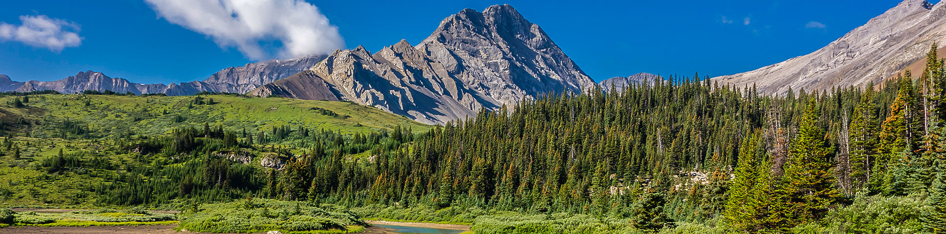
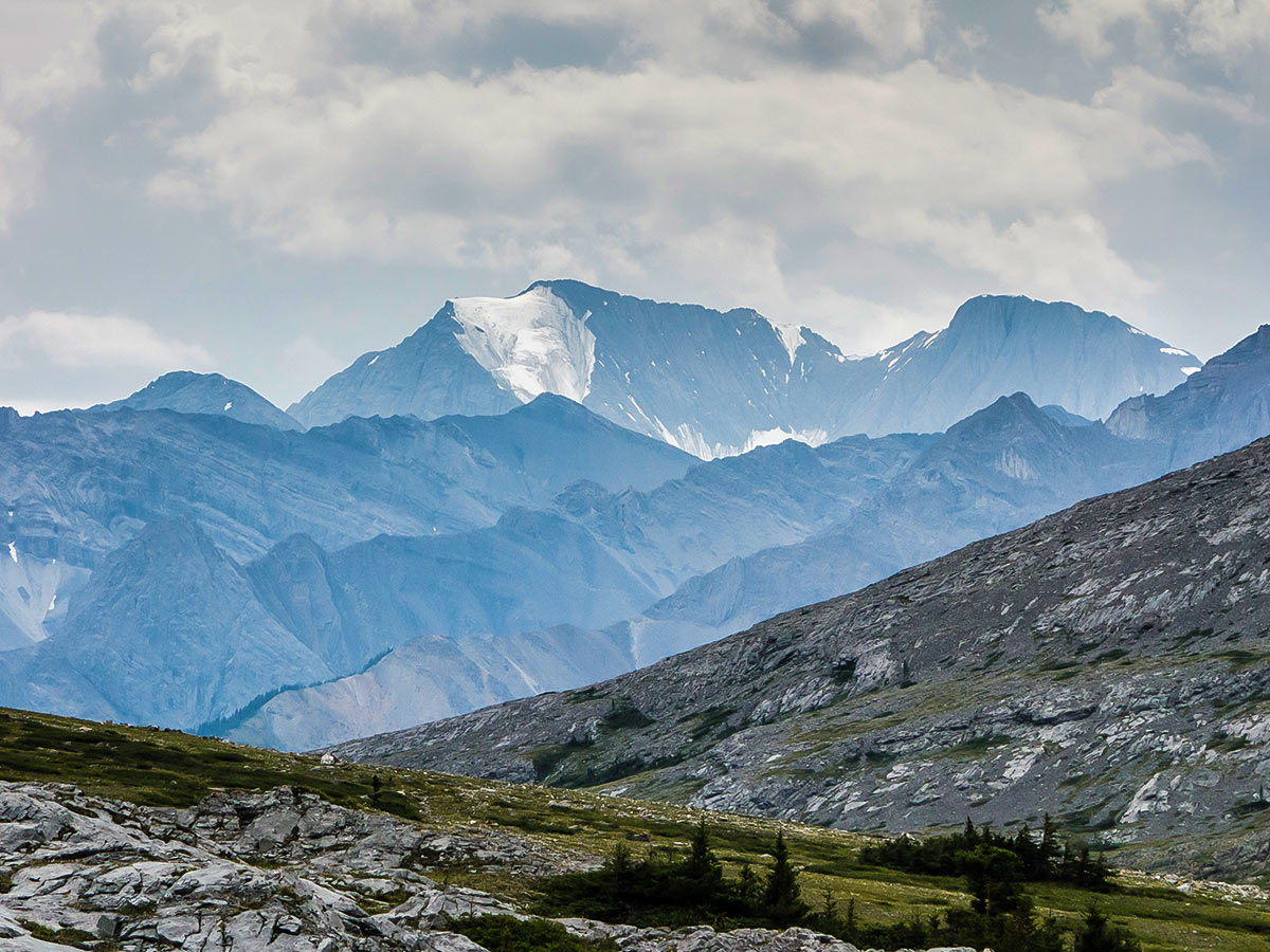
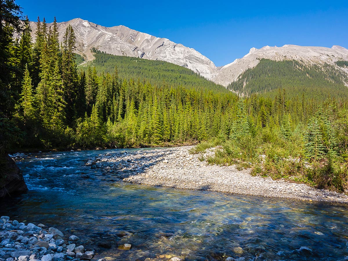
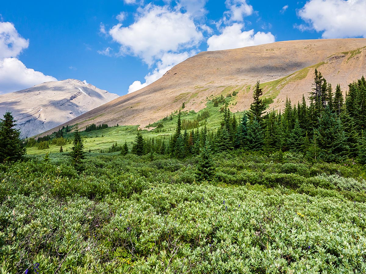
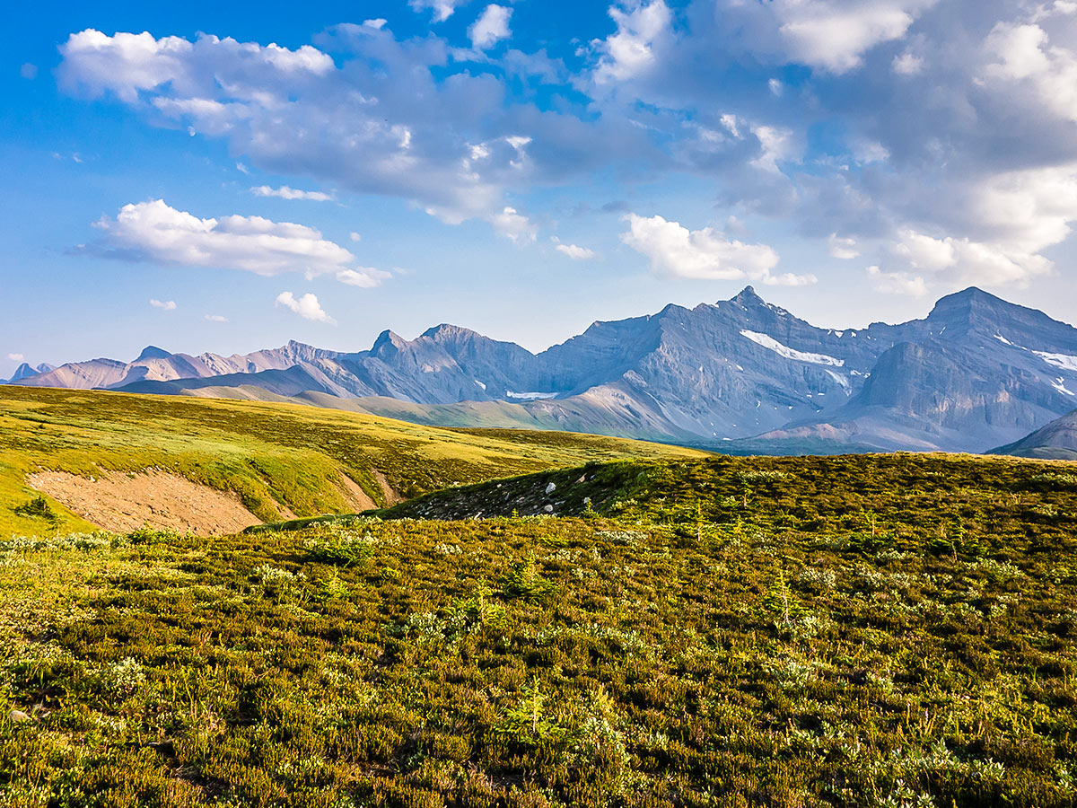
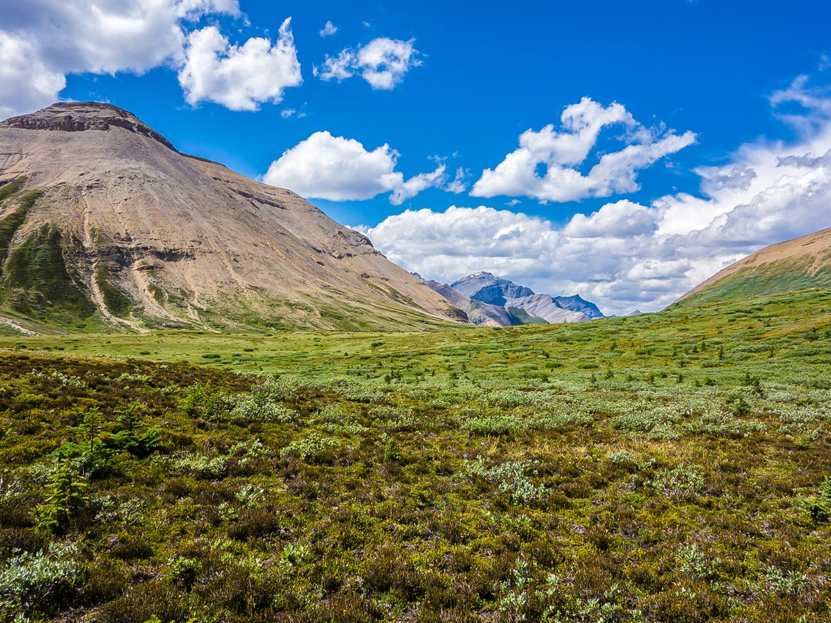
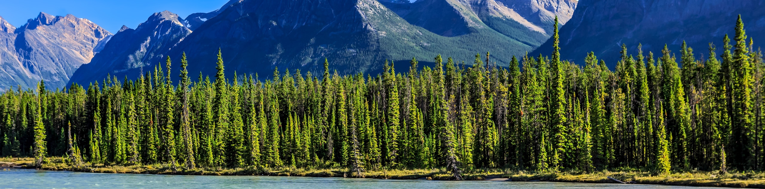
Cairn Pass is one of the most isolated passes in the Canadian Rockies, and we list this route for people that just want to get away from it all. You’re more likely to encounter bears than people on this route. Alpine meadows, the Medicine Tent River, and alpine lakes make up the variable scenery along this trip.
Getting there
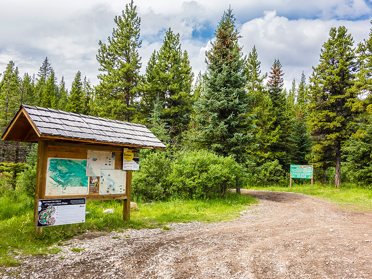
From Jasper, drive north on Highway 16 towards Hinton. Before reaching Hinton, turn south on Highway 40 and continue through Cadomin. You will climb the summit of Cardinal Divide, and descend down the other side. There is a pull-out 1.0mi from Cardinal Divide, where a spur road leads right to the trailhead on the west side of the road. It is important to note that the bridge and road on the south side have been washed out.

About
| Re-supply points | None |
| When to do | Mid July to late September |
| Mountain Huts | No |
| Backcountry Campsites | Yes |
| Toilets | Trailhead |
| Pets allowed | No |
| Accommodation Type | Tent |
| Family friendly | No |
| Route Signage | Poor |
| Crowd Levels | Low |
| Route Type | Out and back |
Cairn Pass
Elevation Graph
Weather
Route Description for Cairn Pass
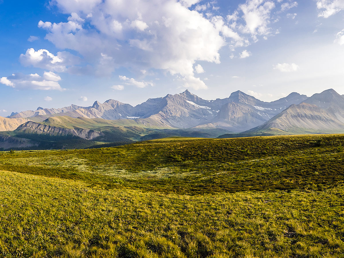
Cairn Pass is located approximately midway along the South Boundary Trail of Jasper National Park. It is most easily accessed via Rocky Pass, also known as Cardinal Pass. This is a beautiful, rarely visited country, though part of this hike is a slog. Expect to have the days and campgrounds to yourself on this wonderful trip.
We describe this as a 4-night, 5-day trip, with a whole day at Cairn Pass. It could also be done in 2-nights, 3-days trip by staying at La Grace Campground and doing a daytrip to Cairn Pass and back on day 2.
Whichever route you do, you’ll need to make your reservations on the Parks Canada website. We also recommend a good map and/or a GPS unit to help with route finding on this remote route.
Day 1
While strong hikers could handle the 18.6mi approach to Carin Pass Campground in one day, it’s a big day, so we prefer to split it into two days, camping at the Medicine Tent Campground, which is roughly 6.8mi from the trailhead. This campground is below the western end of Rocky Pass on the shore of the Medicine Tent River. This 2-day approach allows a later start on day 1 and an earlier finish on day 5.
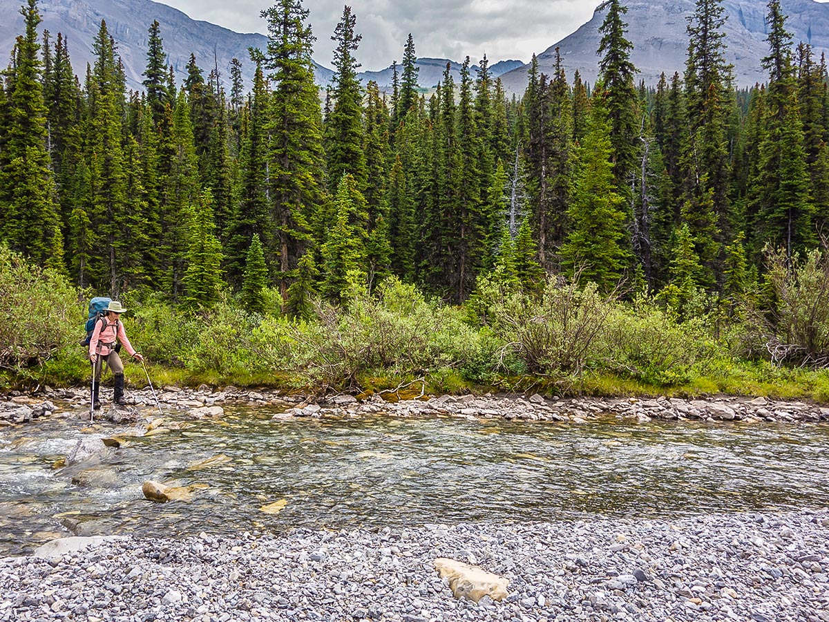
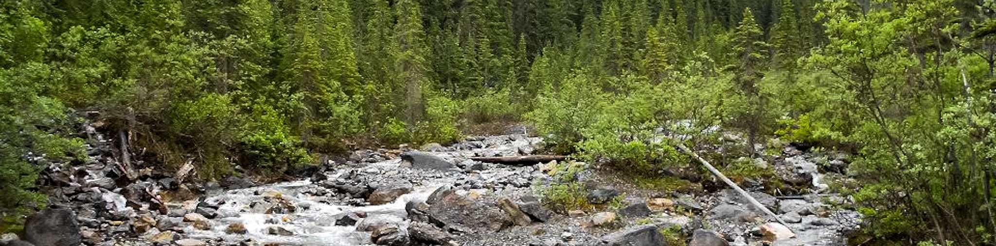
From the Trailhead, take the trail signed to Rocky Pass, also known as Cardinal Pass, which begins as a 4×4 road. Follow this path, and you will see the trail diverge towards Rocky Pass. You will have to cross the Cardinal River three times before you get to Rocky Pass. Be prepared for high waters, depending on the season. We would not recommend this hike before the middle of July due to the stream crossing and lingering snow. In big snow years it may be best to wait late July. The Cardinal River crossings could also be high after extended rain.
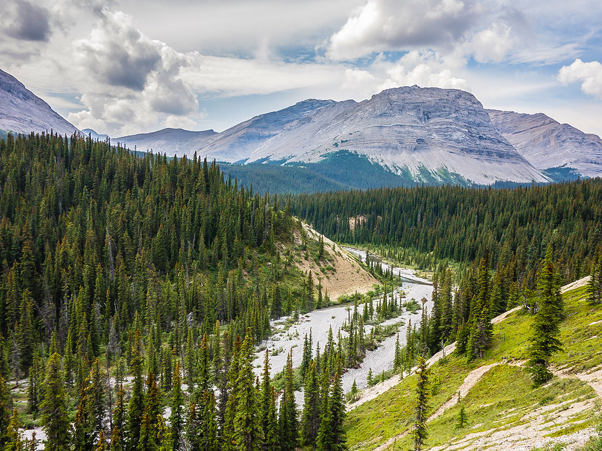
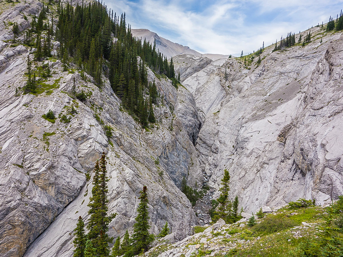
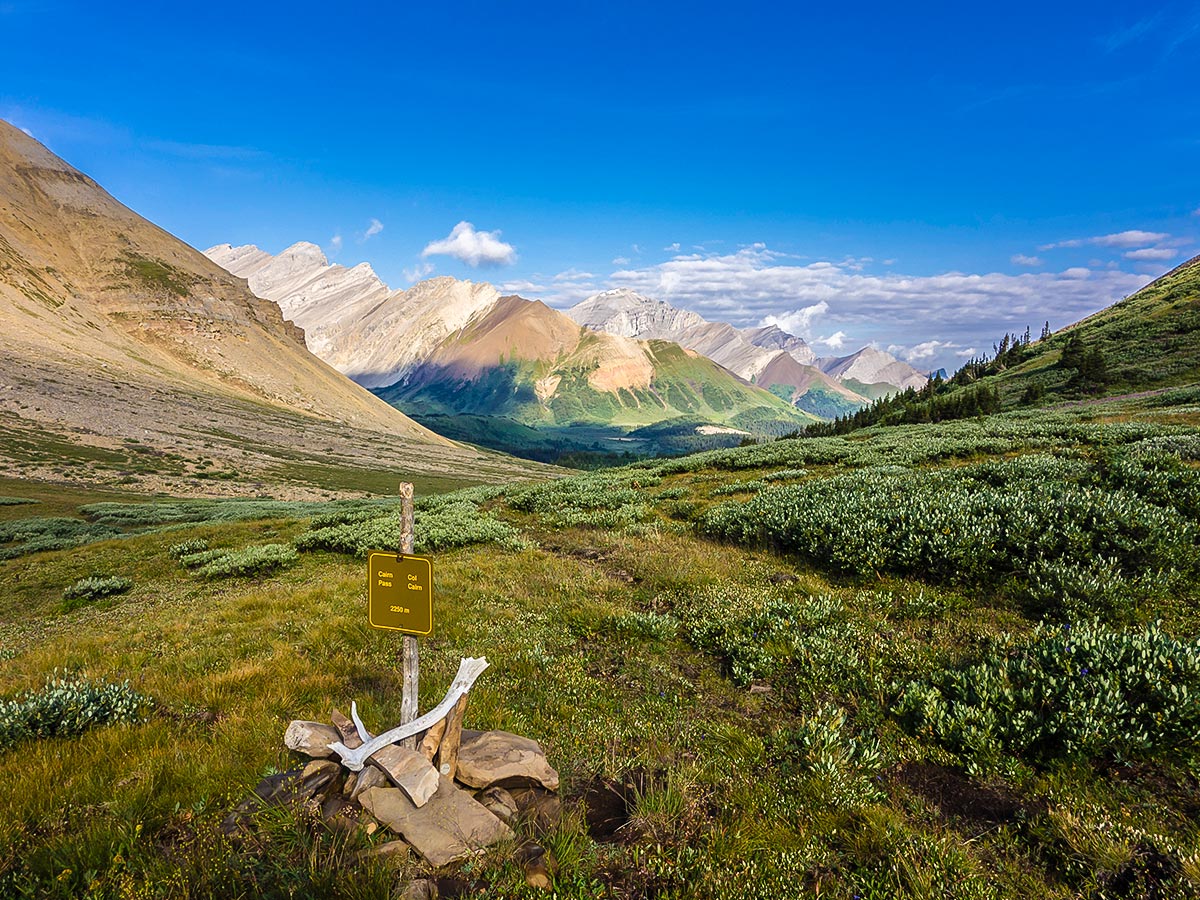
The route to Rocky Pass is roughly 5.0mi and gains 656ft. The views from the pass are beautiful, and the descent on the other side proceeds to the left of the canyon and into the Medicine Tent River Valley.
Once in the valley the trail connects with the South Boundary Trail. Go right for 656ft to the Medicine Tent Campground.
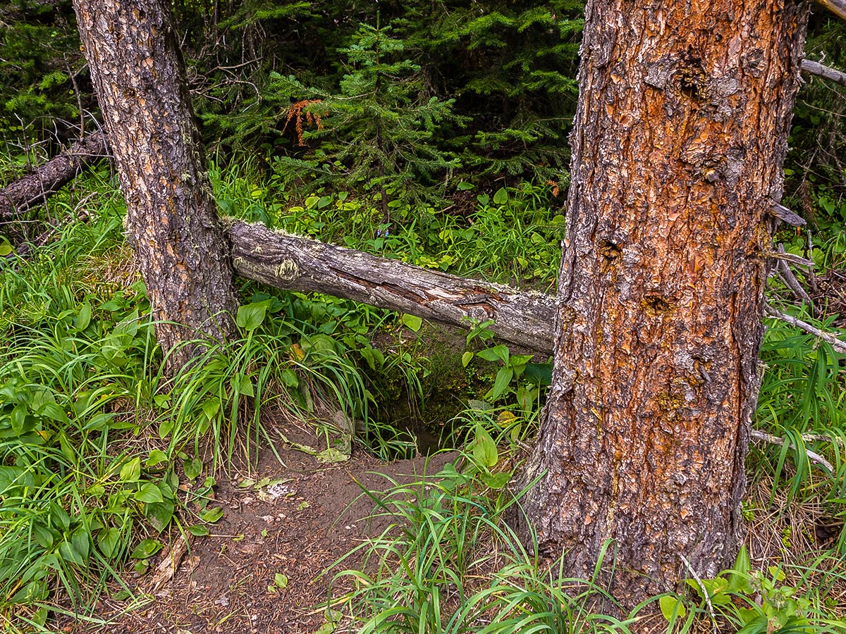
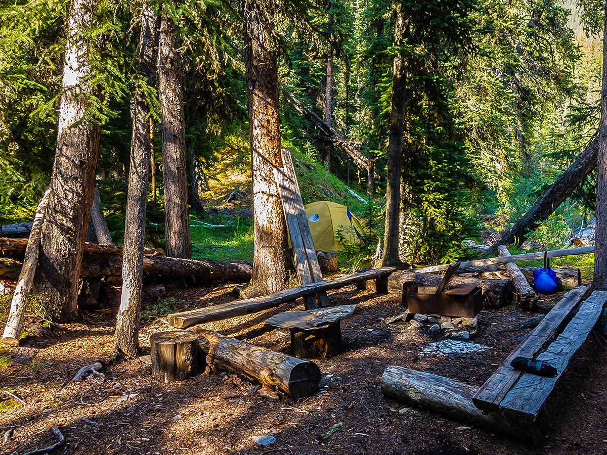
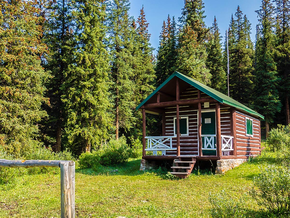
The Medicine Tent campground is about as primitive as they get – the toilet is a log between two trees. The only two tent pads are also within 10 m of the eating area and bear pole (also just a log between two trees, so bring rope), so it’s not the most comfortable place. The bears also seem to have adopted the campground for their own communication purposes as there are several fur-covered rub trees in the campground!
Whatever you do, don’t do anything that might attract bears when camping here!
Note that there is a campground between Medicine Tent and Cairn Pass called LaGrace, which can also be booked if you want to go a little farther on day 1. Parks Canada lists the distance from the trailhead to La Grace as 12.7mi. The LaGrace campground is a good one if you want to do this trip in 2 nights, as you could go Trailhead to La Grace in day 1 and then a day trip to Cairn Pass (11.2mi) on day 2. Day 3 would take you back to the trailhead from LaGrace campground.
Day 2
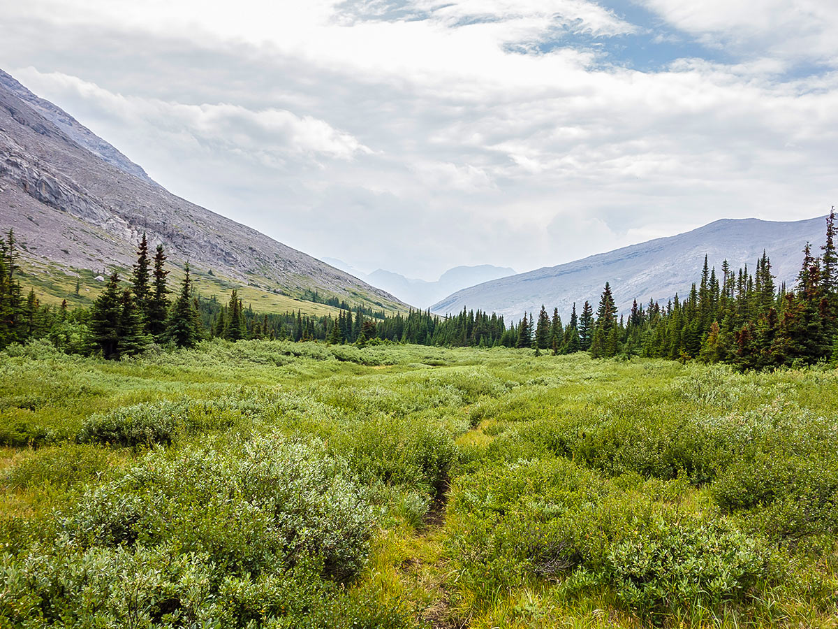
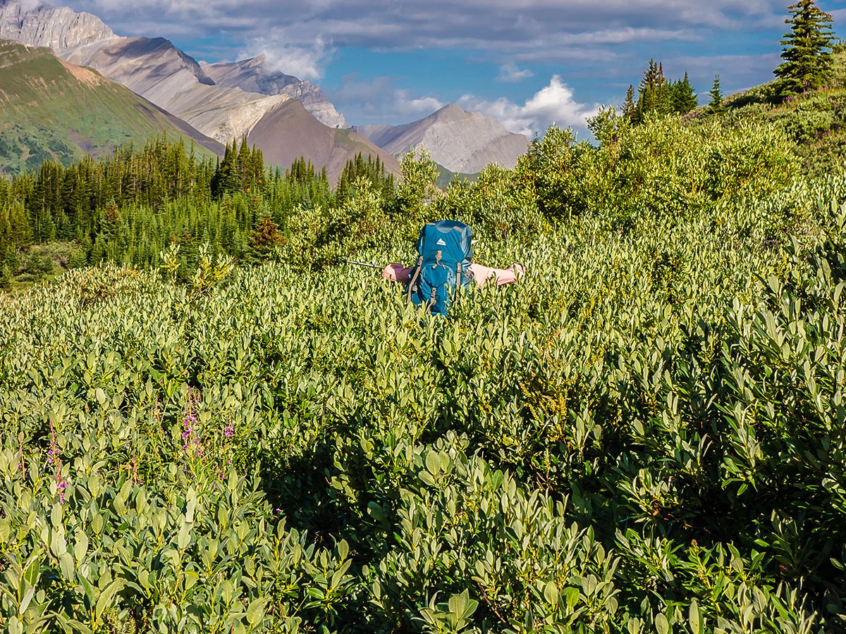
Set out for Cairn Pass from the Medicine Tent campground along the South Boundary Trail. Today the route will be roughly 12.4mi to Cairn Pass and gain 2198ft of elevation, and it’s a slog in the middle. This trail is quite mundane and does not provide any views until reaching Cairn Pass. The trail is muddy, root-filled, and rocky due to extensive use by horses. Along the way you pass LaGrace campground.
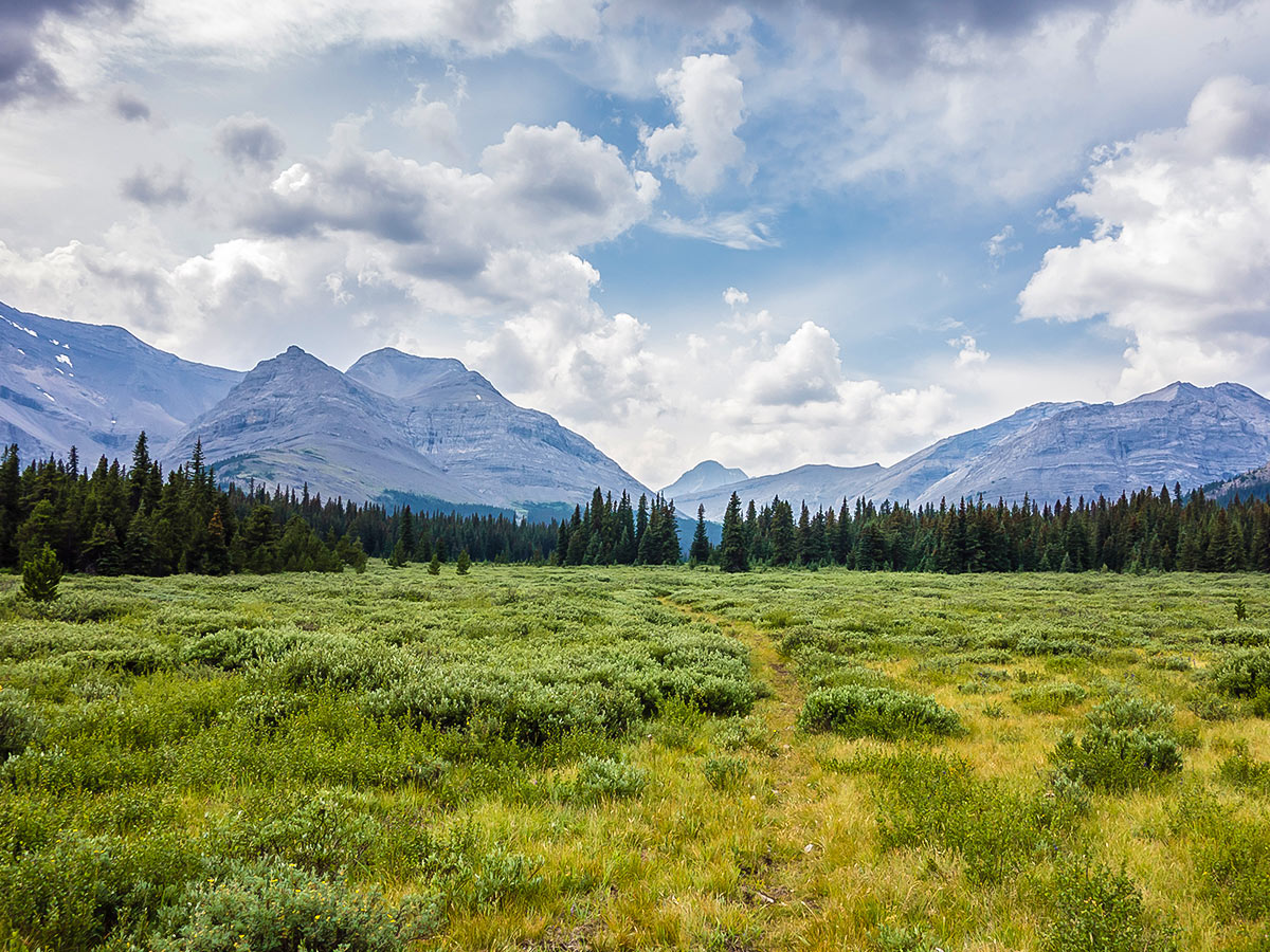
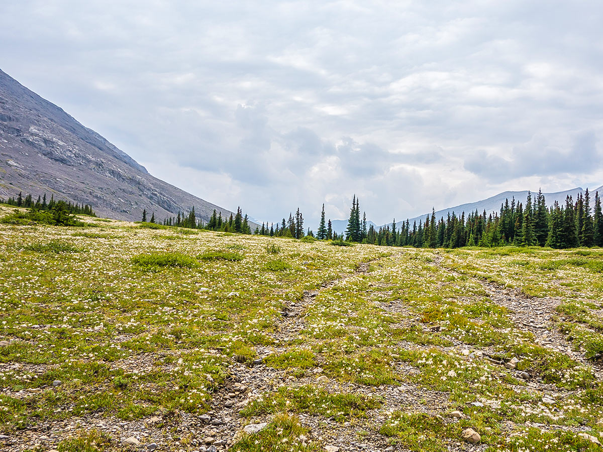
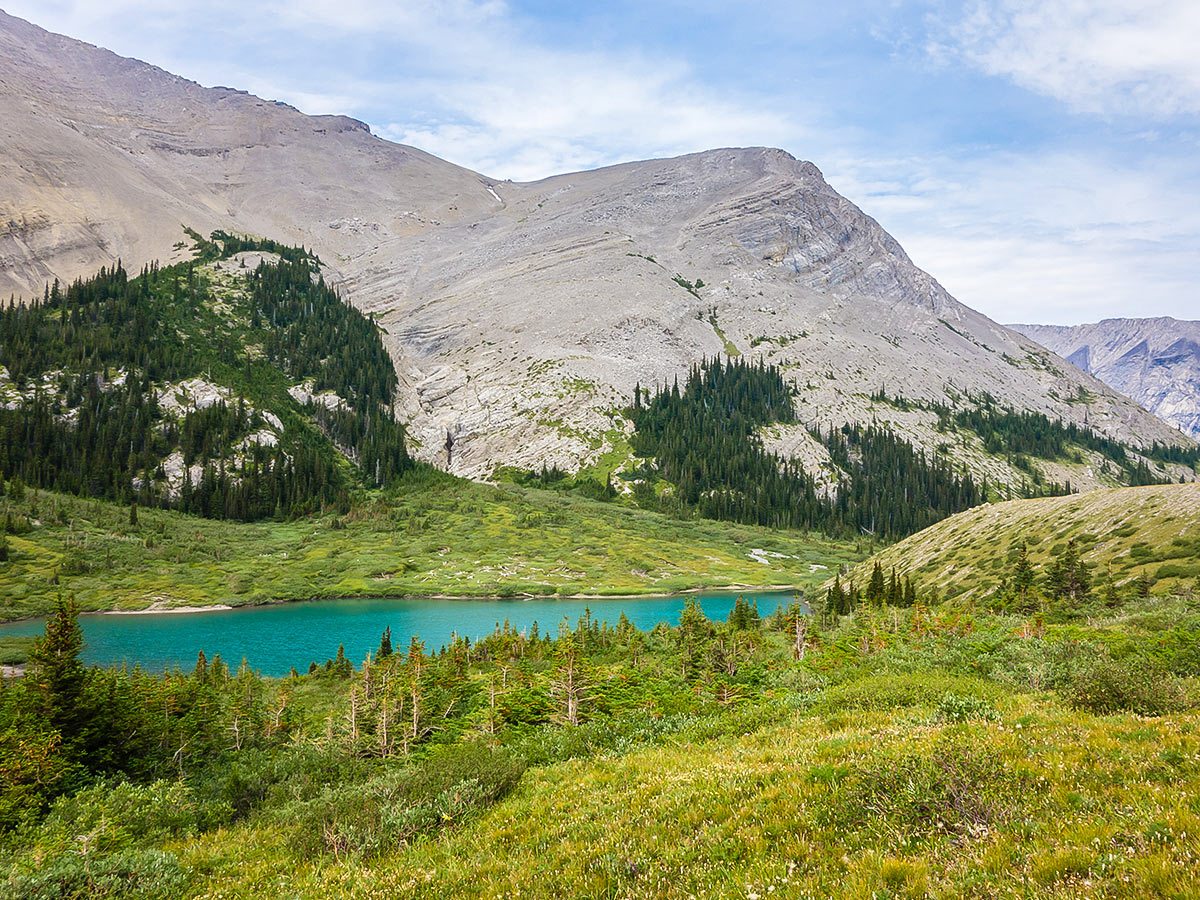
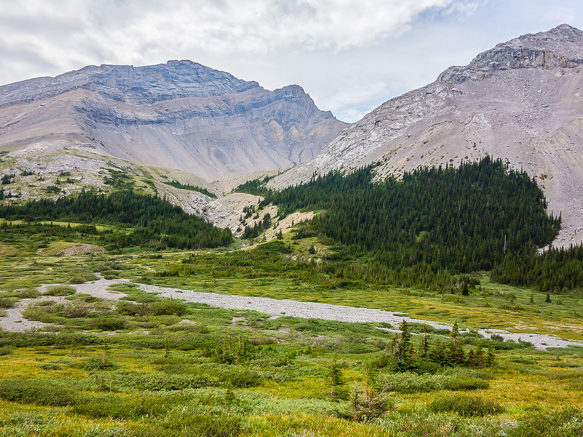
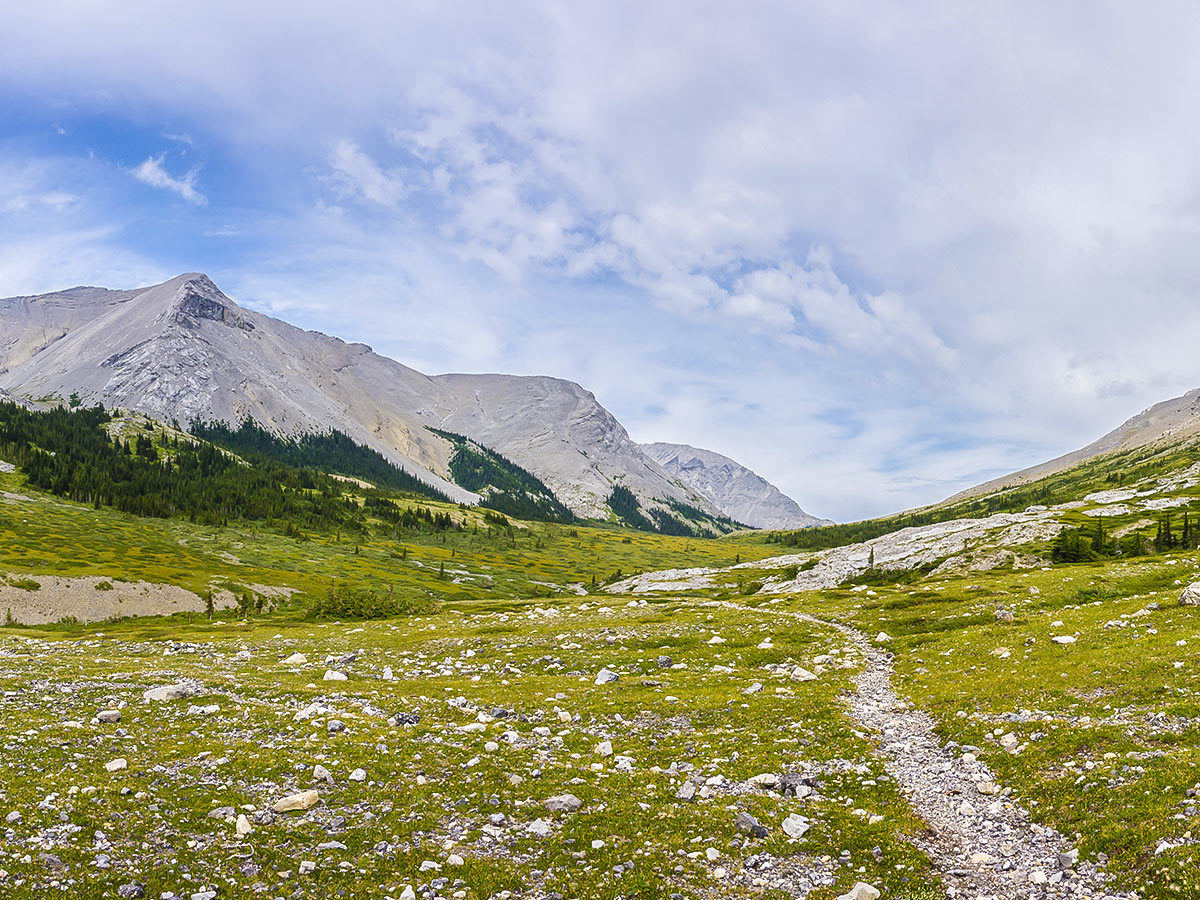
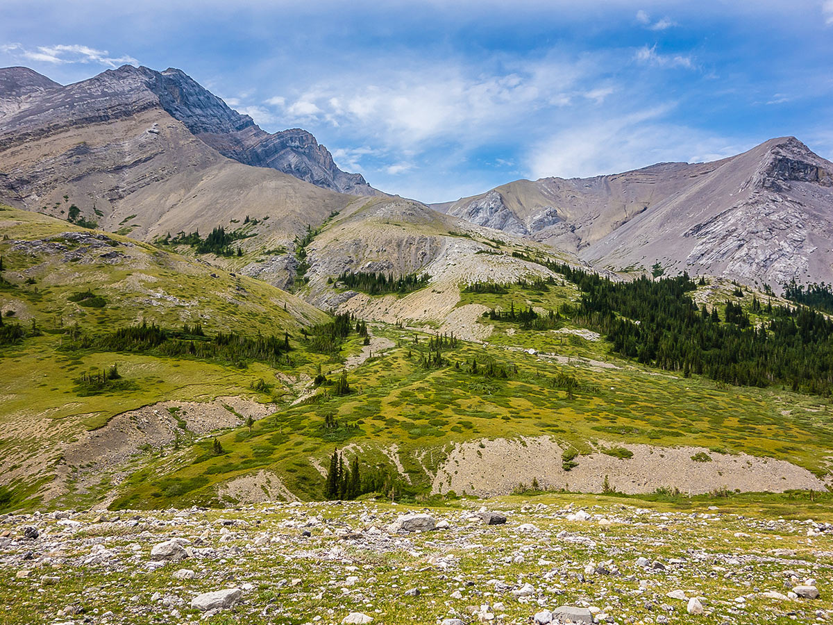
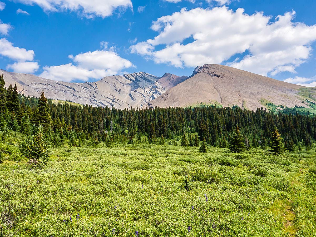
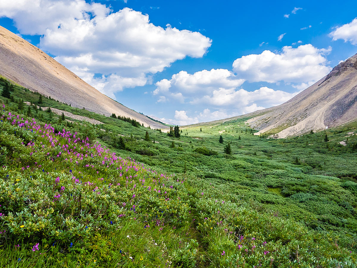
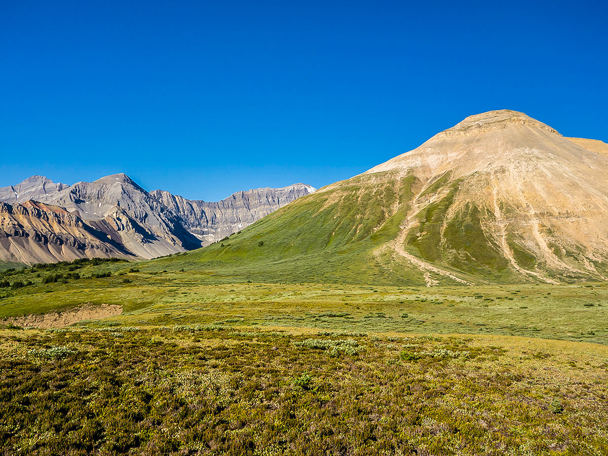
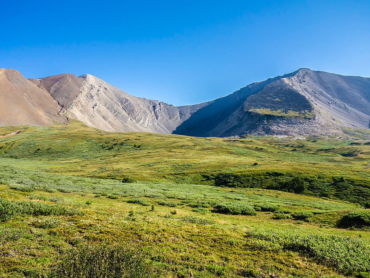
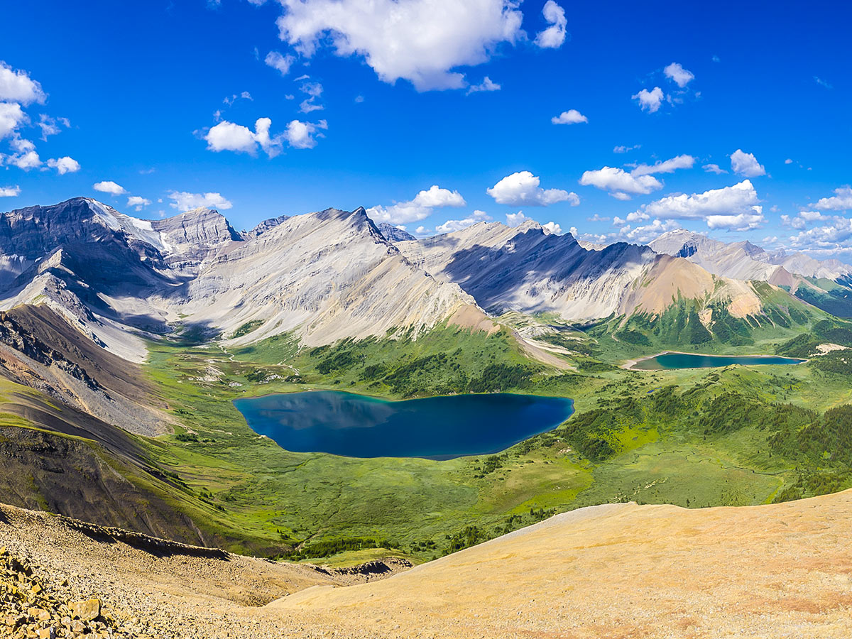
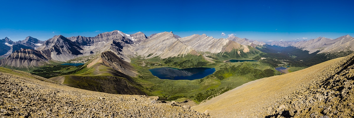
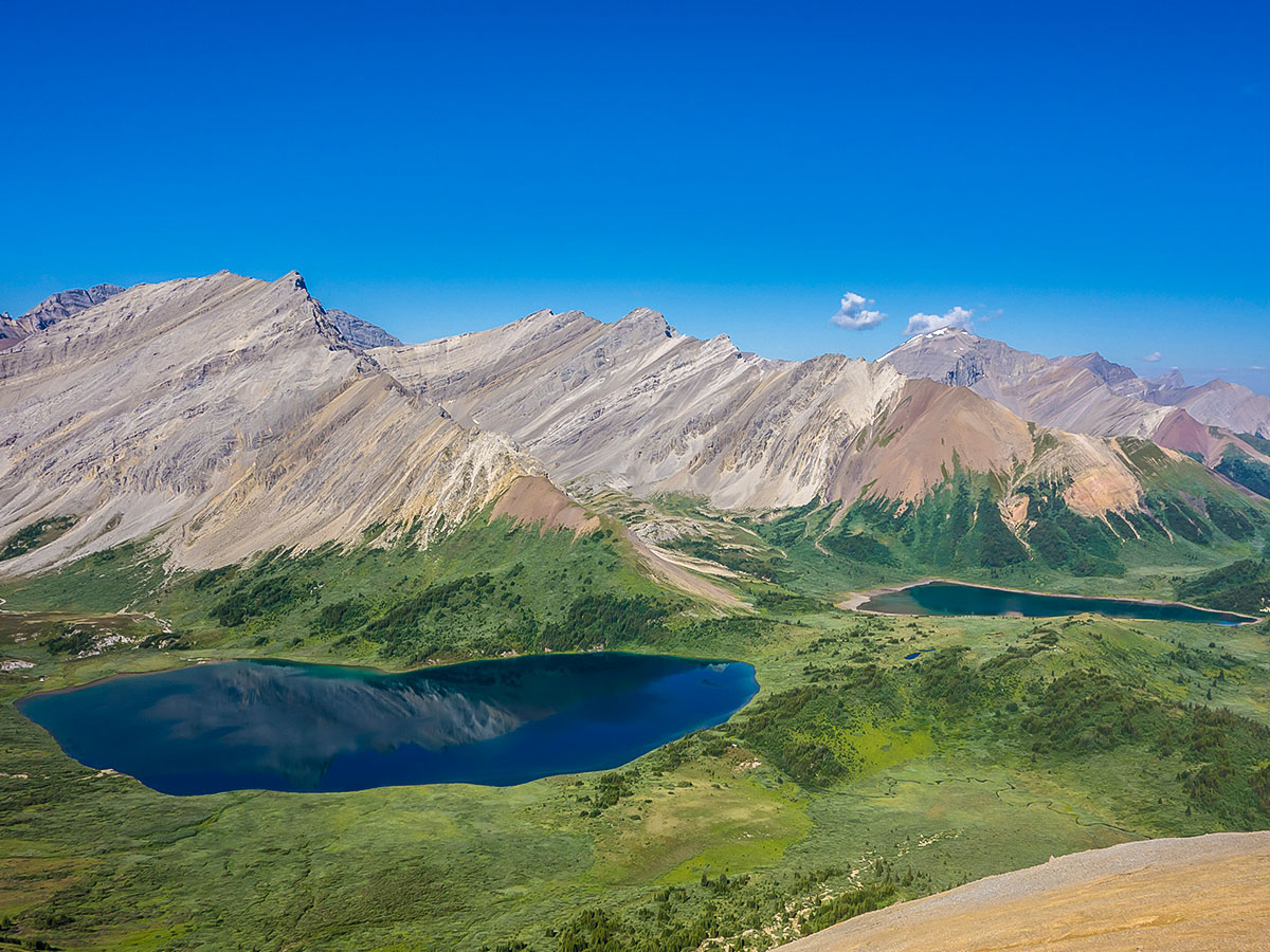
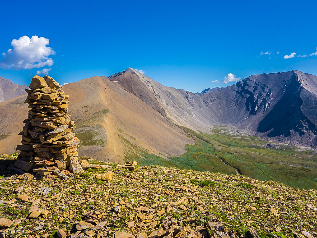
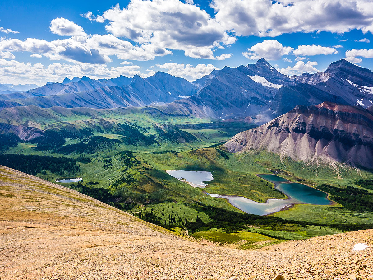
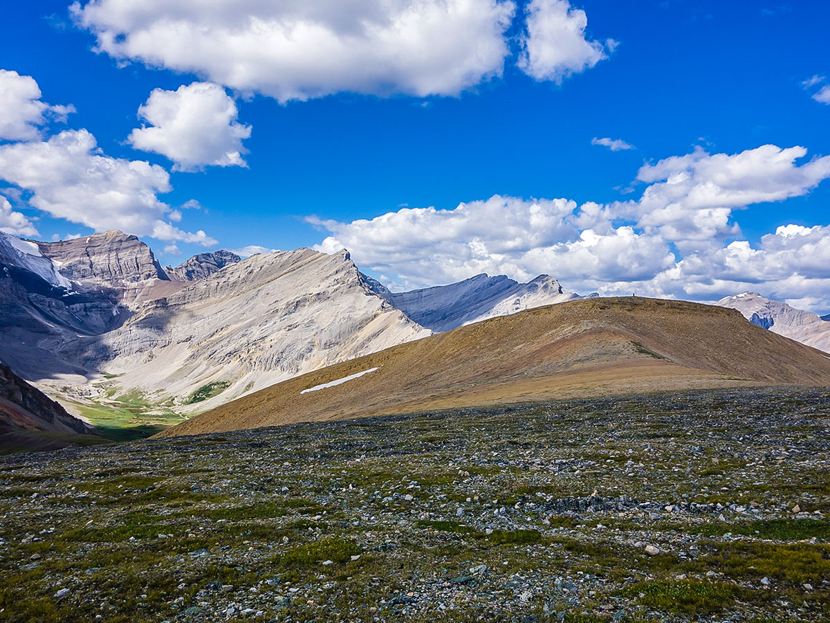
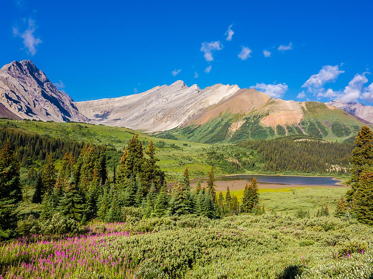
While todays hike isn’t a highlight, once you get into the region of Cairn Pass it is exceptionally beautiful, and an appropriate reward to end your uninspiring slog from Medicine Tent campground. Cairn Pass is wonderfully wild and beautiful, populated by a number of whistling marmots, and signs of bears digging for food sources. The grassy ridges and mountainsides are home to many bighorn sheep as well.
From Cairn Pass continue another 1.2mi to get to Cairn Pass Campground, a pretty campground on the edge of a meadow. Best of all, there is a firepit in this campground. While most people spend one night at Cairn Pass and then return back, consider adding a second night at Cairn Pass to give you an entire day to relax and explore the area.
Day 3
Today is a day to simply enjoy exploring the area. Leave your tent in the campground and enjoy a wonderful, hike as you explore this incredible area.
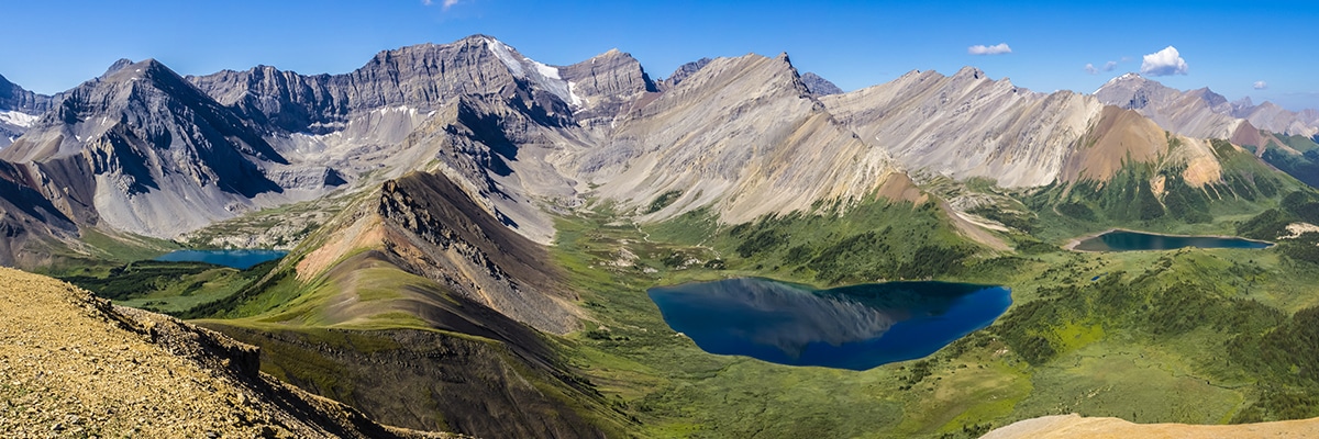
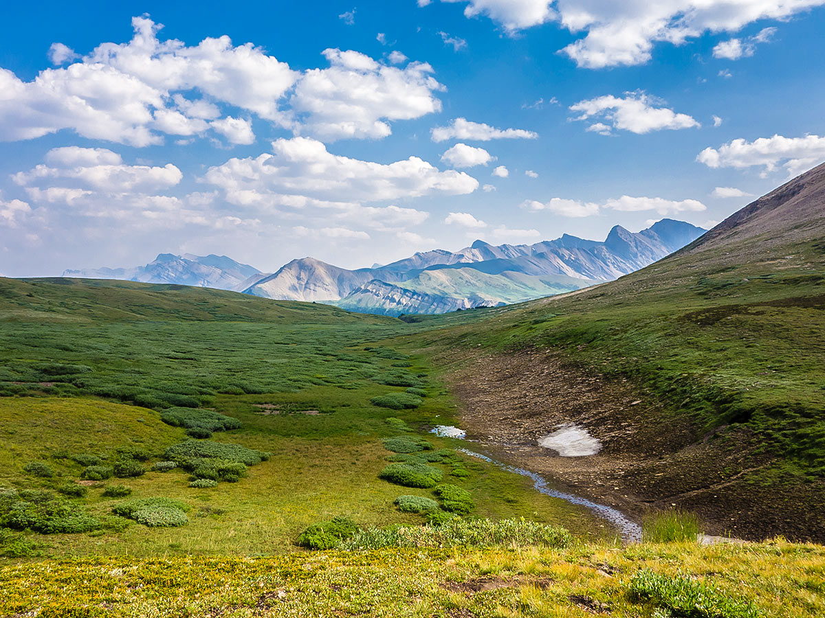
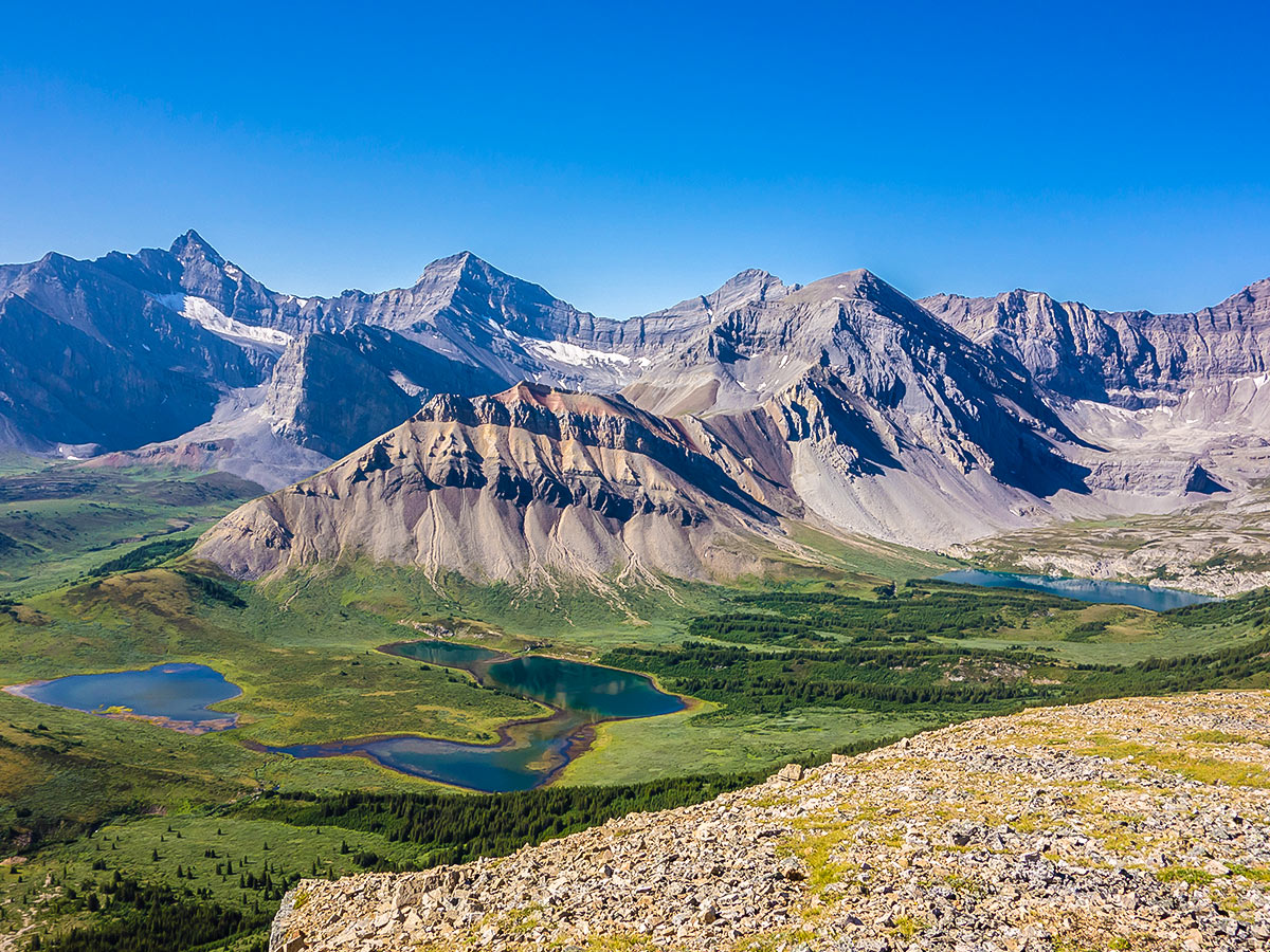
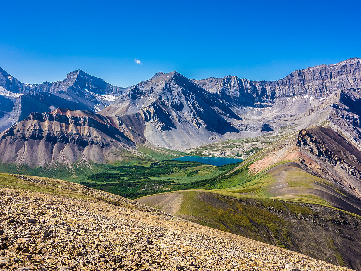
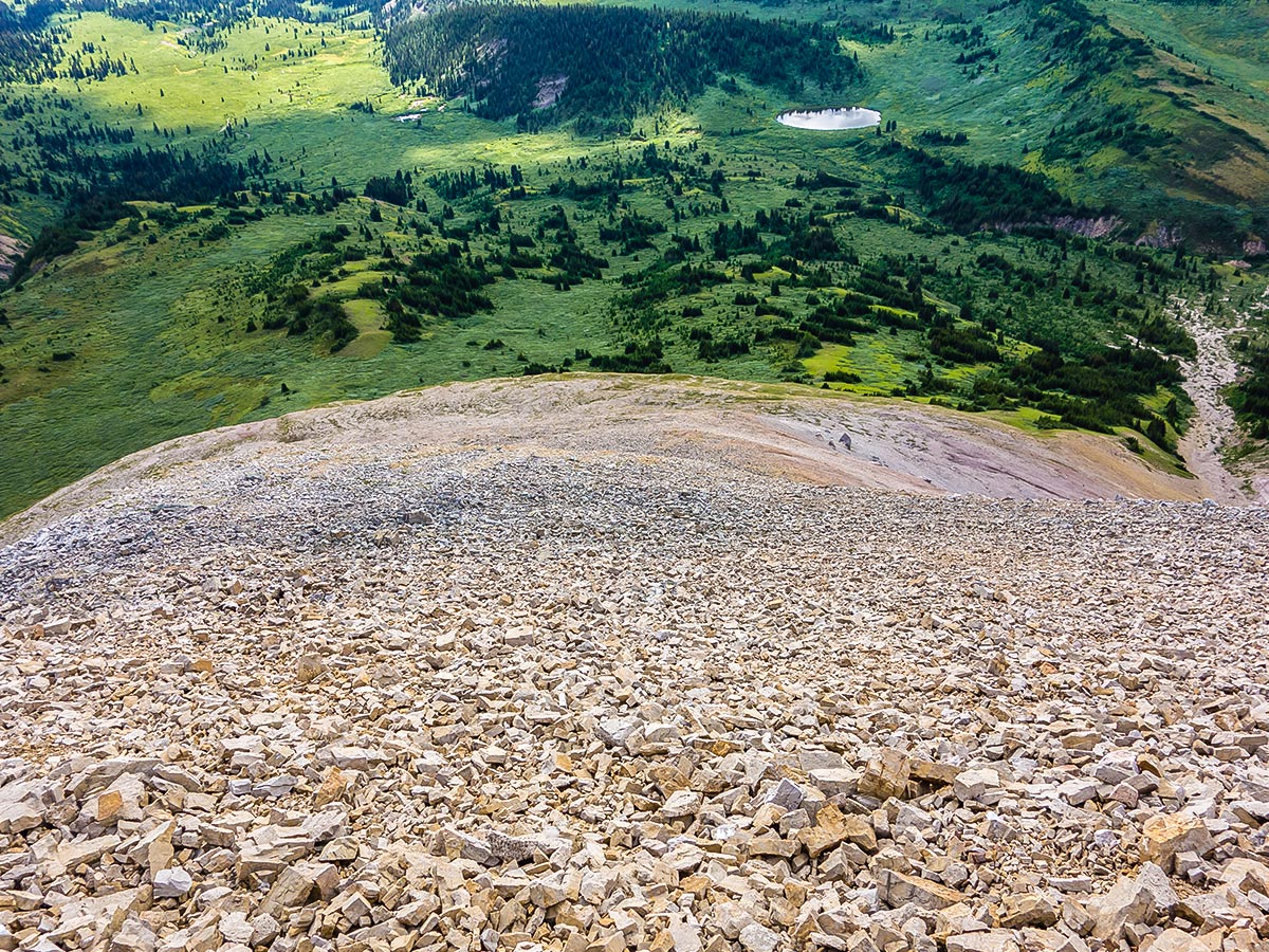
We scrambled up Southesk Cairn, a 8366ft peak in the middle of the pass. While it can be ascended from any direction, you may choose to tackle it via southeast slope, picking up a sheep trail. This is a scramble, so only do the scramble up Southesk Cairn if you’re comfortable with the route. Getting help is days away!
Southesk Cairn is 984ft higher than the pass, and an average hiker should take an hour to reach the summit. From the Cairn Pass Campground the route is about 5.6mi (return) and you’ll gain 1804ft of elevation. If you were to do this from Cairn pass it is 2.5mi with 1050ft of elevation gain).
Many other scrambles rise up from Cairn Pass, making the options endless if you want to fill your day, though you would be forgiven in simply spending the day at Cairn Pass, with no sounds, complete calm and stunning views!
Some people choose to scramble up Southesk Cairn and then continue to Lagrace campground on Day 3, making this a 4-day trip.
Day 4
Return the way you came, if you’re really strong, complete the entire 18.9mi walk out in one day. Most people end up breaking the day up, stopping again at Medicine Tent Campground for another night to break up the distance.
Day 5
Final day out for those who stopped at Medicine Tent campground.
Sample Itinerary:
Note: Total GPS distance varies from each days distance due to side trips and slight route variations each day.
Day 1: Rocky Pass to Medicine Tent Campground (6.9mi, 810ft)
Day 2: Medicine Tent Campground to Cairn Pass (12.6mi, 2198ft)
Day 3: Scramble up Southesk Cairn and explore area (5.6mi, 1804ft)
Day 4: Cairn Pass to Trailhead (18.6mi/2461ft)
Day 5: Optional Day 4 split into 2 days
Insider Hints
It is important to note that these are backcountry sites provided by Parks Canada and a reservation must be made for the dates of your trip.
Be prepared to not see another soul on this trail, it is rarely visited.
There are 3 stream crossings on this trail, the highest of which will be thigh high. It is advisable to talk about your route with Parks Canada to find out the most recent conditions of this backpack.
The trail is very wild, and it is recommended to wear pants to prevent scratches from the willows along the route.
Stop at Miette Hot Springs for a soak on your way out!

Similar backpacking trails to the Cairn Pass backpacking trail
Wates-Gibson Hut Backpacking Trail
The route to the Wates-Gibson hut covers the gorgeous southern section of the Tonquin Valley in Jasper. There is an…
Fiddle River Backpacking Trail
The Fiddle River trail starts outside of Jasper National Park in the Whitehorse Wilderness Area. This rough wilderness route is…
Fryatt Valley Backpacking Trail
Fryatt Valley is a 22.9mi out-and-back route that takes backpackers through an incredible and diverse alpine landscape. It…
MartiniC 4 years ago
This hike is simply perfect when you want to be alone with your thoughts because we weren't able to see anyone else during our entire trip.
CarlOUT 5 years ago
The Cairn Pass is a strenuous backpacking trip and I advise you going with a group for safety. As mentioned here, we did not meet almost any people but it's a bear country so better safe than sorry. It was a great and beautiful hiking trip.