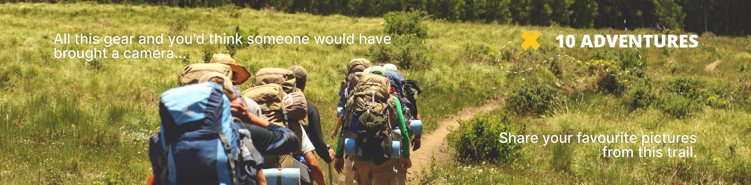
Wates-Gibson Hut Backpacking Trail
View Photos
Wates-Gibson Hut Backpacking Trail
Difficulty Rating:
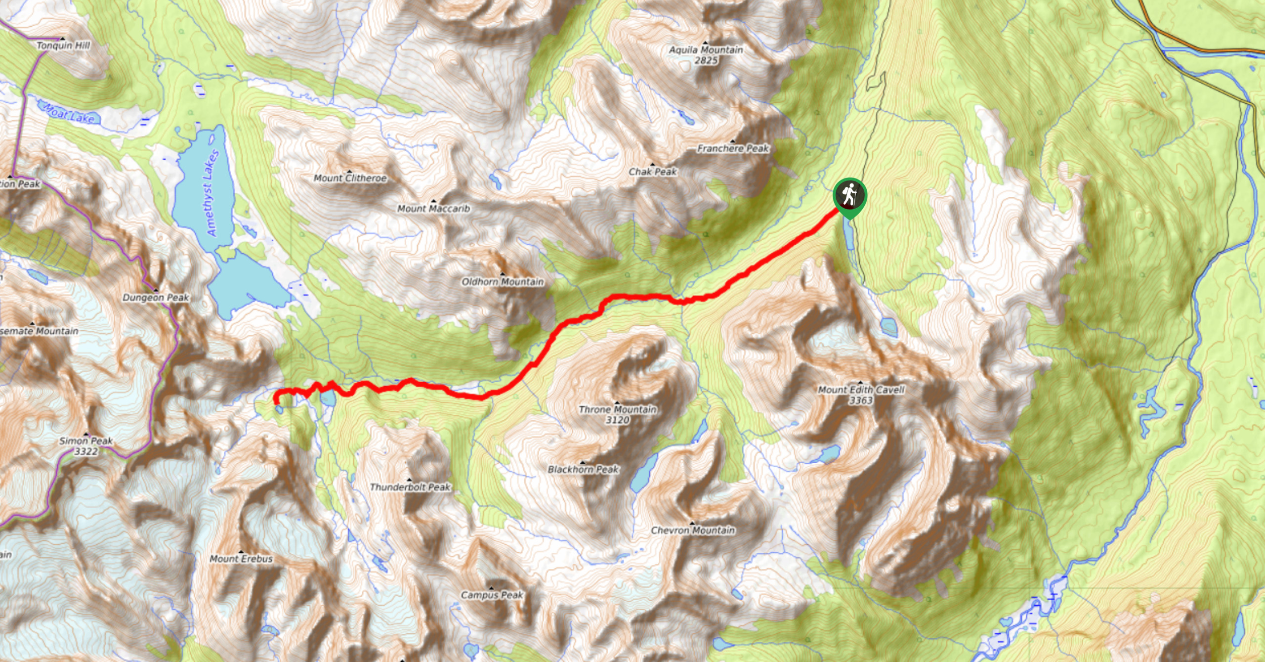
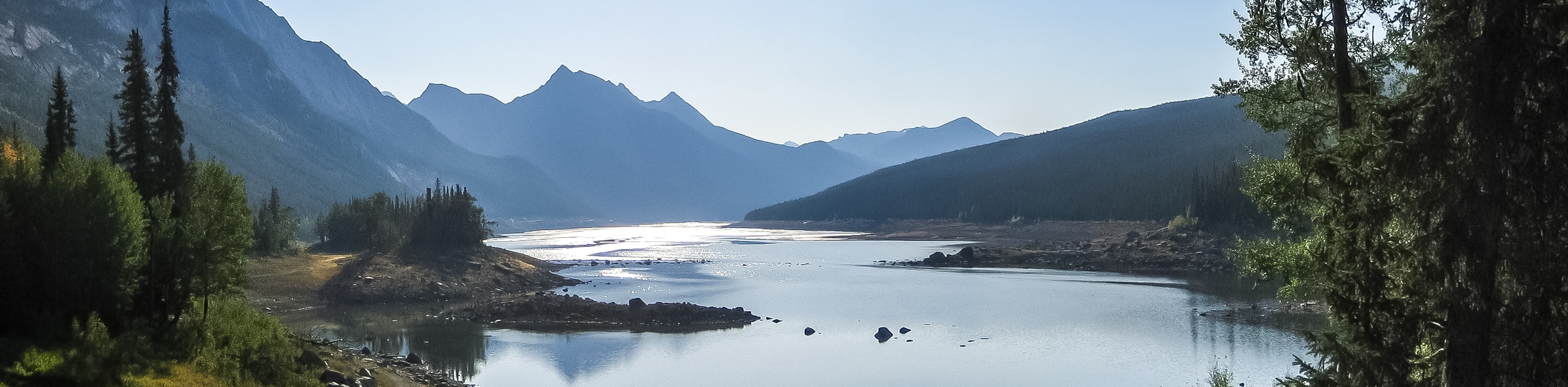
The route to the Wates-Gibson hut covers the gorgeous southern section of the Tonquin Valley in Jasper. There is an option to make a small lollipop and see some of the other landmarks in the valley on your return. Pass by Astoria campground on your way to the hut.
Getting there
To get to the Wates-Gibson hut trailhead, you will need to find your way to the popular starting and end point of the Tonquin Valley route on the Edith Cavell Road. From the town of Jasper, merge onto the 93N southbound, turning right onto the 93A. Pass Marmot Road and turn onto Mount Edith Cavell Road. Follow this road until you reach signs for the Astoria River trailhead. This is directly across from the Mount Edith Cavell Hostel.

About
| When to do | June-September |
| Backcountry Campsites | Astoria, Wates-Gibson Hut |
| Pets allowed | Yes - On Leash |
| Family friendly | Older Children only |
| Route Signage | Average |
| Crowd Levels | High |
| Route Type | Out and back |
Wates-Gibson Hut Backpacking Trail
Elevation Graph
Weather
Wates-Gibson Hut Trail Description
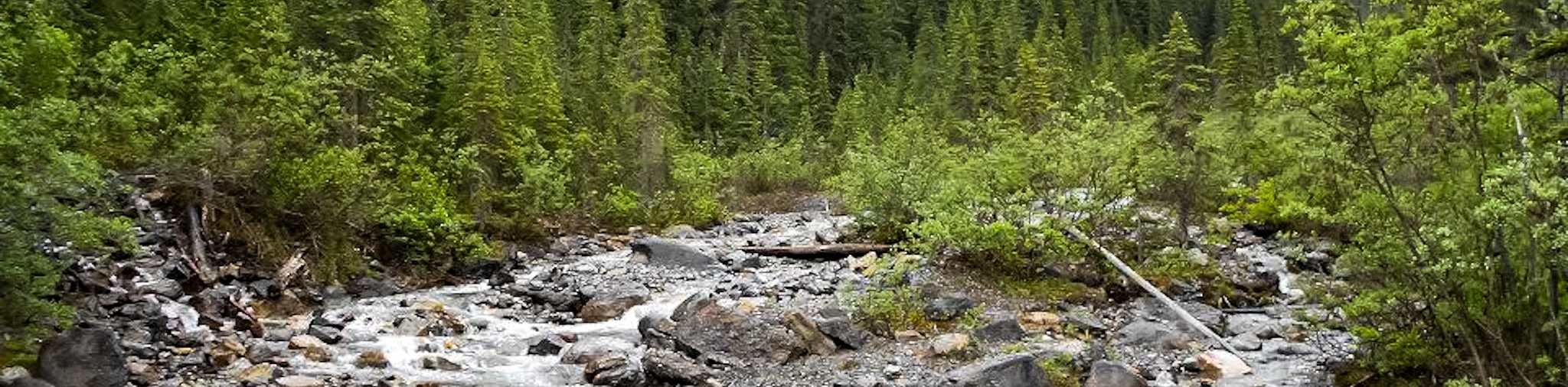
From the Astoria River trailhead, your hike to the Wates-Gibson hut will begin with a descent into the valley bottom where the trail parallels the Astoria River. Continue along the clear route, gaining gradual elevation as you approach the Astoria Campground at 4.4mi. This is a great stop for families wishing to break up the trip and travel less distance per day.
From the Astoria Campground, continue for 0.9mi, where you will come to a junction. You will take the trail to the left for 4.7mi to reach the Wates-Gibson hut. This is the easiest route and the one we recommend. This route passes by Chrome Lake 1km before the hut.
If you are looking to add distance or take a lollipop approach to the hut, you can take the trail to the right, which leads up some steep switchbacks before passing by three other backcountry campgrounds and the prized landmark that is Amethyst Lake. Following this route takes the trip to Wates-Gibson hut 8.5mi further from the junction, almost double the length of the recommended trail.
Similar backpacking trails to the Wates-Gibson Hut Backpacking Trail backpacking trail
Saturday Night Lake Loop Backpacking Trail
The Saturday Night Lake Loop is accessible from the town of Jasper and a great trip for beginners and families.…
Jacques Lake Backpacking Trail
Backpacking to Jacques Lake is a great way to find solitude without a lengthy mission. It is a short and…
Fiddle River Backpacking Trail
The Fiddle River trail starts outside of Jasper National Park in the Whitehorse Wilderness Area. This rough wilderness route is…
Comments