Fiddle River Backpacking Trail
View Photos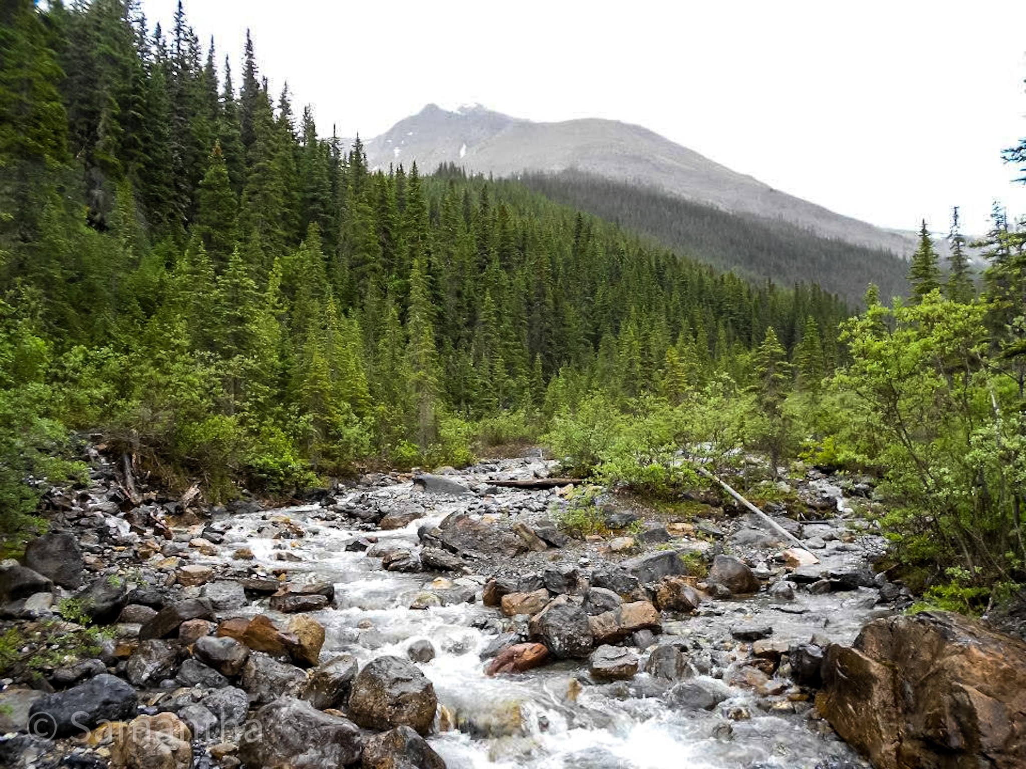
Fiddle River Backpacking Trail
Difficulty Rating:
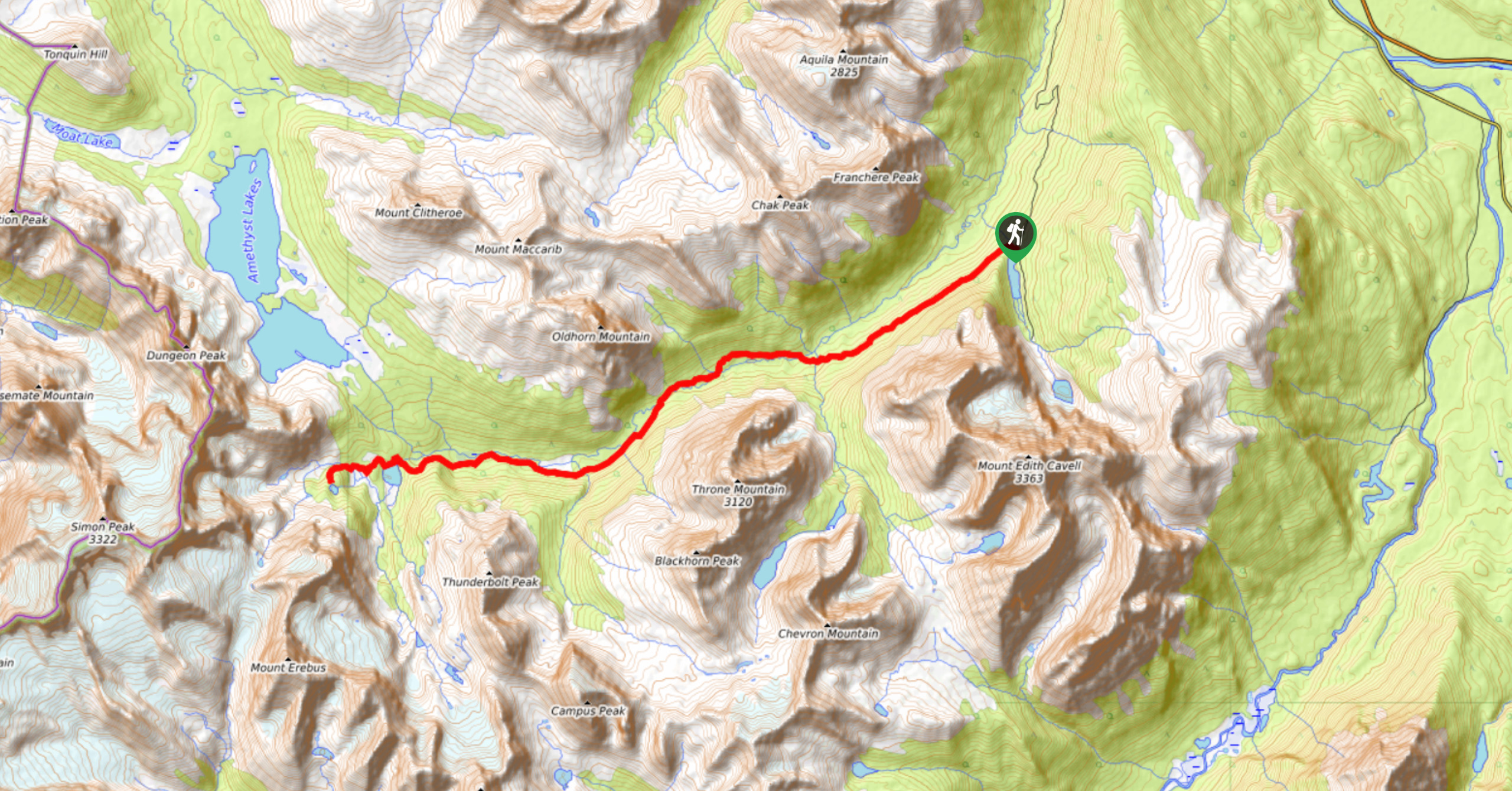
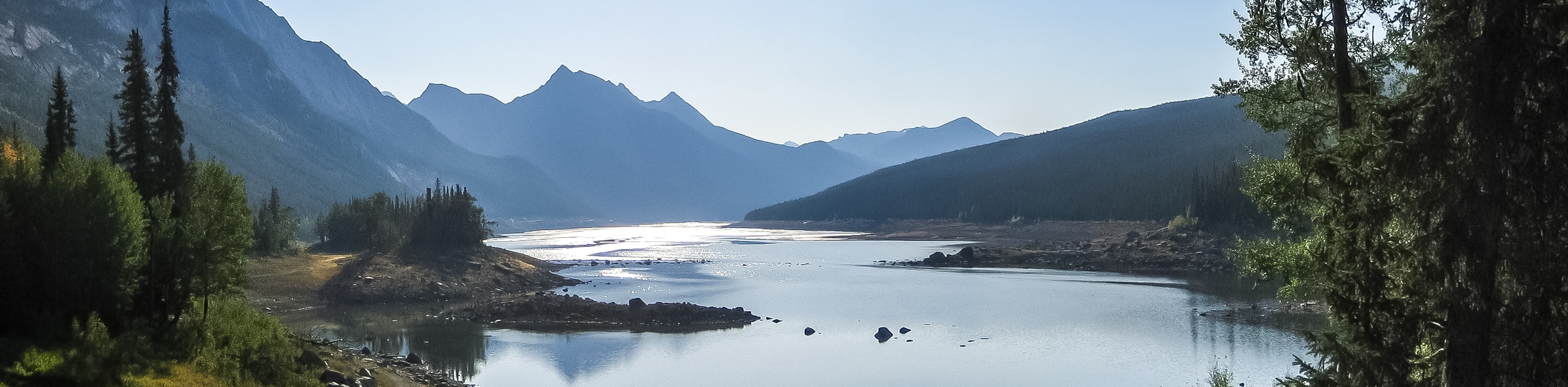
The Fiddle River trail starts outside of Jasper National Park in the Whitehorse Wilderness Area. This rough wilderness route is the perfect adventure for those looking to escape the crowds and immerse themselves in nature. The trail follows an incredible valley and leads hikers over high passes before descending to the popular Miette Hot Springs.
Getting there
To get to the Fiddle River trailhead, you will need to make your way into the Whitehorse wilderness Area. From Jasper, merge onto Highway 16 eastbound and travel this road for 43.5mi, making a right onto Highway 40 towards Cadomin. Stay on Highway 40 for 29.8mi, where you will come to a junction. Take a right hand turn here towards Cadomin, where you will join a gravel road for 5.3mi. Look for signs that lead to Whitehorse Creek Campground, which is where the trail starts. Drive to the far end of the campground to find the trailhead and a kiosk sign.

About
| When to do | August-September |
| Backcountry Campsites | Whitehorse Creek, Whitehorse, Slide, Utopia |
| Pets allowed | Yes - On Leash |
| Family friendly | Older Children only |
| Route Signage | Poor |
| Crowd Levels | Moderate |
| Route Type | One Way |
Fiddle River Backpacking Trail
Elevation Graph
Weather
Fiddle River Backpacking Trail Description
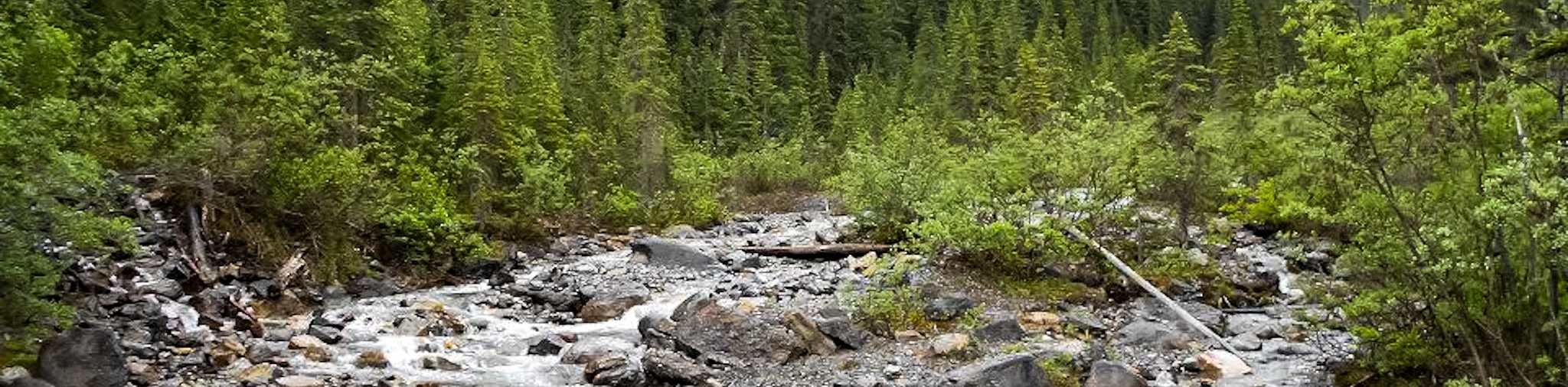
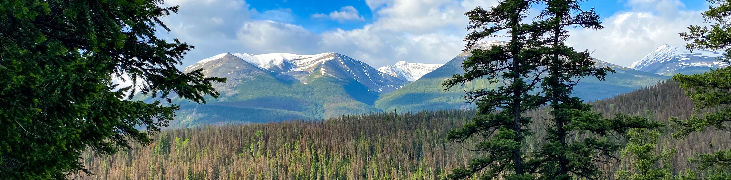
The Fiddle River trail is a 3-4 day hike that travels through the stunning Fiddle River Valley northwest to Miette Hot Springs. You will need two vehicles to make this trip work, so consider dropping a vehicle at Miette Hot Springs and spending a night at Pocahontas campground before departing for Whitehorse Creek.
You will begin in the Whitehorse Creek Wilderness, which has different backcountry guidelines than the National Park. There are no reservation fees here, and you may camp in random areas. This does require proper leave-no-trace practices, including hanging all your food and establishing your own cook areas. You will find various established camp areas along the route before crossing into Jasper National Park at Fiddle Pass (8.1mi).
Know that you will need to ford the Fiddle River multiple times after crossing the park boundary. We recommend camping at Whitehorse Campground, which is at 10.7mi, followed by Utopia Campground at 19.9mi before heading to Miette Hot Springs to finish the trail with a soak in the mineral waters.
Similar backpacking trails to the Fiddle River Backpacking Trail backpacking trail
Saturday Night Lake Loop Backpacking Trail
The Saturday Night Lake Loop is accessible from the town of Jasper and a great trip for beginners and families.…
Wates-Gibson Hut Backpacking Trail
The route to the Wates-Gibson hut covers the gorgeous southern section of the Tonquin Valley in Jasper. There is an…
Jacques Lake Backpacking Trail
Backpacking to Jacques Lake is a great way to find solitude without a lengthy mission. It is a short and…
Comments