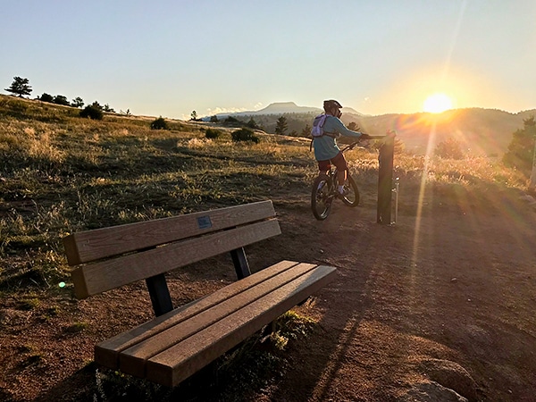
East Mag Dot Trails Mountain Biking Trail
View Photos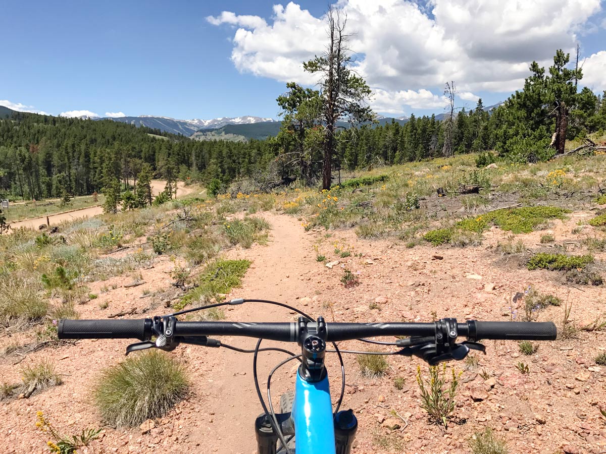

East Mag Dot Trails Mountain Biking Trail
Difficulty Rating:
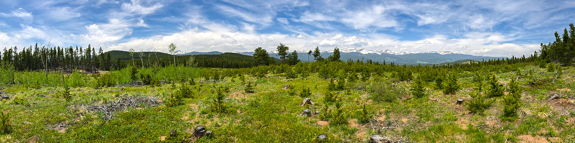
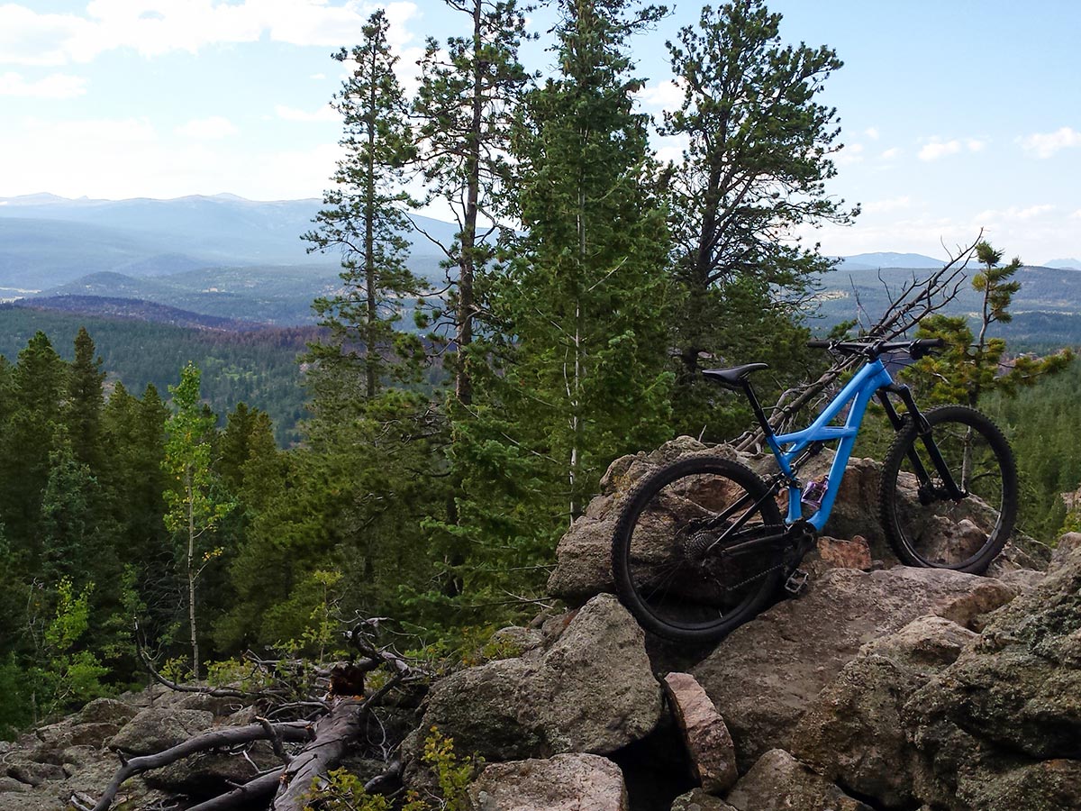
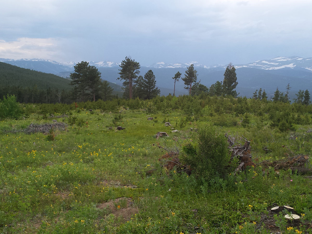
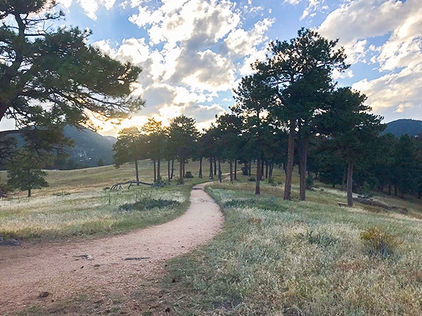
Riding The Dot Trails feels like you have your own private MTB trail! The Dot Trails are a hidden gem with great riding and amazing views just outside Nederland.
Getting there
From Boulder, take Canyon Dr. up Boulder Canyon, approximately 4.0mi, turn left onto Magnolia Rd. Magnolia Rd. dead ends at the Peak to Peak Hwy. Parking is across the street at County Hwy 132-W, which is also the parking for West Magnolia.

About
| Route Signage | Poor |
| Crowd Levels | Low |
| Route Type | Out and back |
East Mag Dot Trails
Elevation Graph
Weather
Route Description for East Mag Dot Trails
The Dot Trails are hidden gems that are just east of the popular West Magnolia Trail system. The start for the Dot Trails is on the east side of the Peak to Peak Hwy, a few hundred feet down Magnolia Dr.
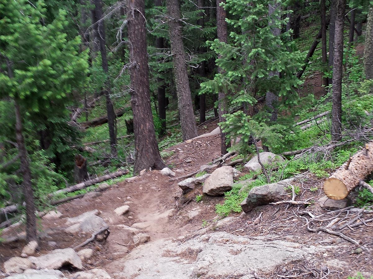
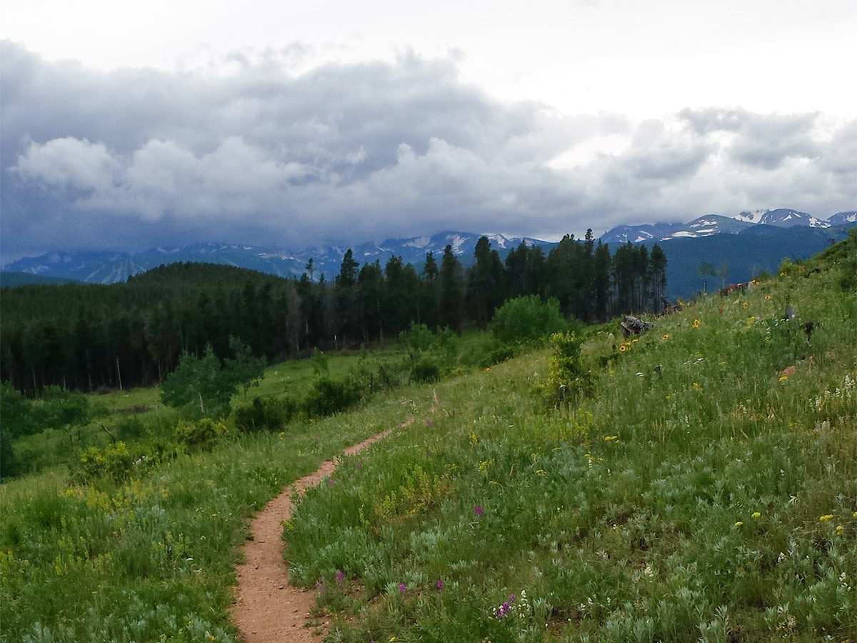
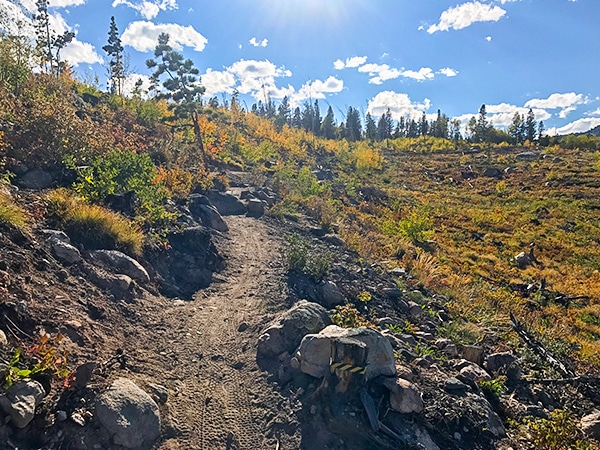
Boot Trail and Reboot are the first two trails you encounter. They gradually climb deeper into the forest, until you reach Pipeline Trail, an old Forest Service Road.
Cruise down Pipeline Trail for a few hundred feet until an unmarked right-hand turn presents itself. Take the turn onto Blue Dot Trail.
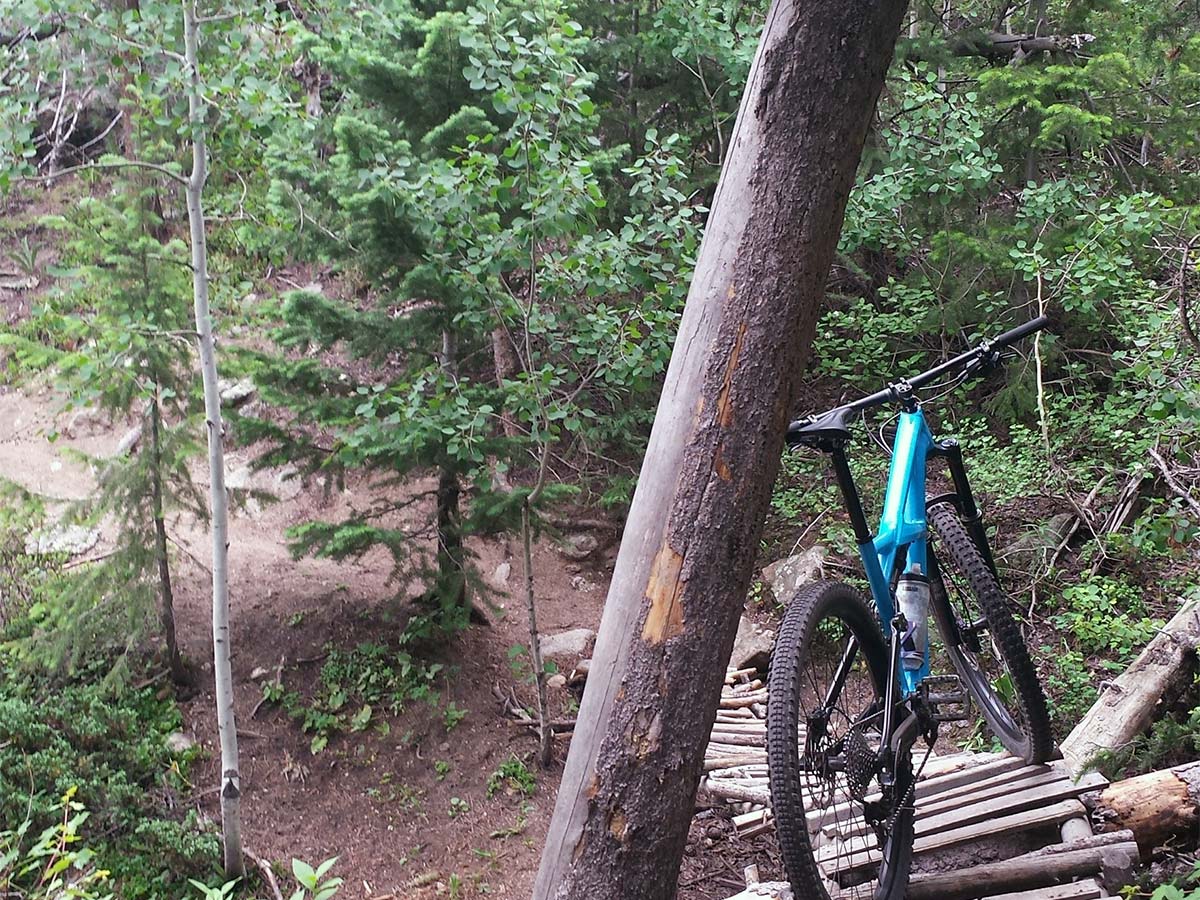
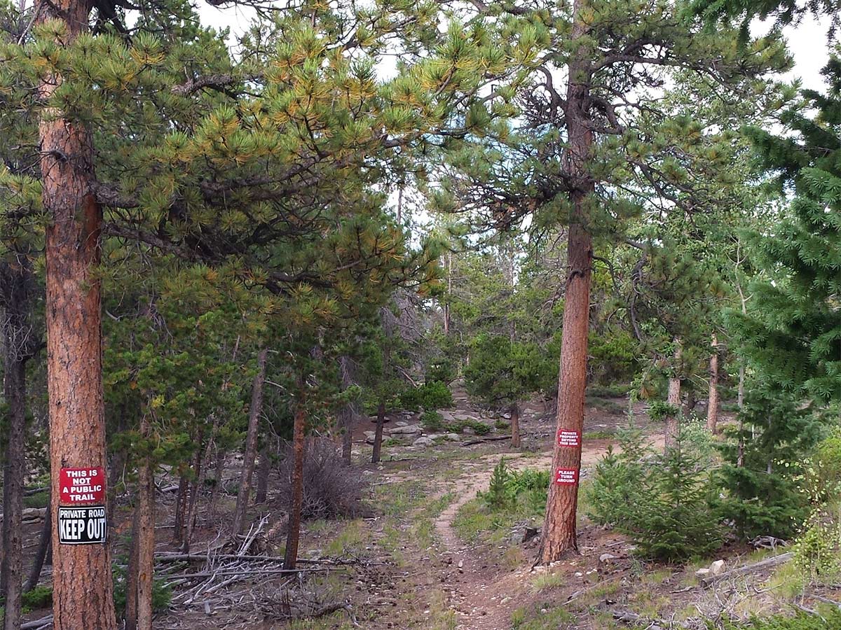
Blue Dot Trail is an out and back lollipop loop. Be prepared for a couple of challenging technical sections and the occasional hike-a-bike. The end of the lollipop is evident with a steep descent to a trail junction with a private property sign.
There is an equally steep ascent on your way back, as you eventually reconnect with the out-and-back trail. Retrace your tracks back to the trailhead.
Insider Hints
Visit the Town of Nederland!
- Where to Eat: Crosscut Pizzeria & Taphouse
- Gear & Supplies: Tin Shed Sports for bike demos and trail information
- Beer: Very Nice Brewery
Primitive camping is permitted at West Magnolia
Highly Recommended: http://www.latitude40maps.com/ (Boulder/Nederland Specific) and can be purchased from pretty much any store in town.
Similar Mountain Biking Trails to the East Mag Dot Trails Mountain Biking Trail
Hall Ranch
Hall Ranch is one of the best mountain bike trails along the Front Range! This MTB trail has a little…
Betasso Preserve
Betasso Preserve is a great all-around MTB trail with enough challenges to keep it interesting and test your riding skills.…
West Magnolia
West Magnolia is a spaghetti network of trails that will test your riding abilities along with your navigation skills, but…
Comments