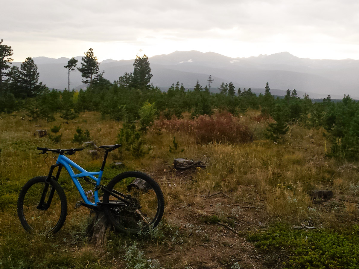
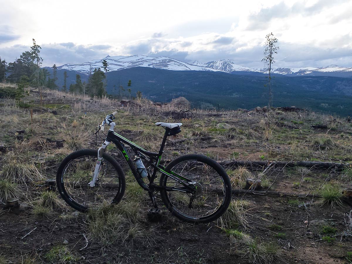
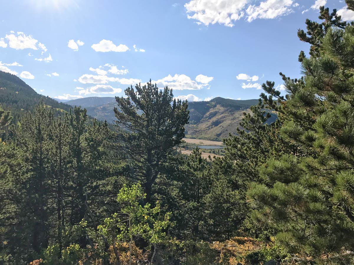
West Magnolia Mountain Biking Trail
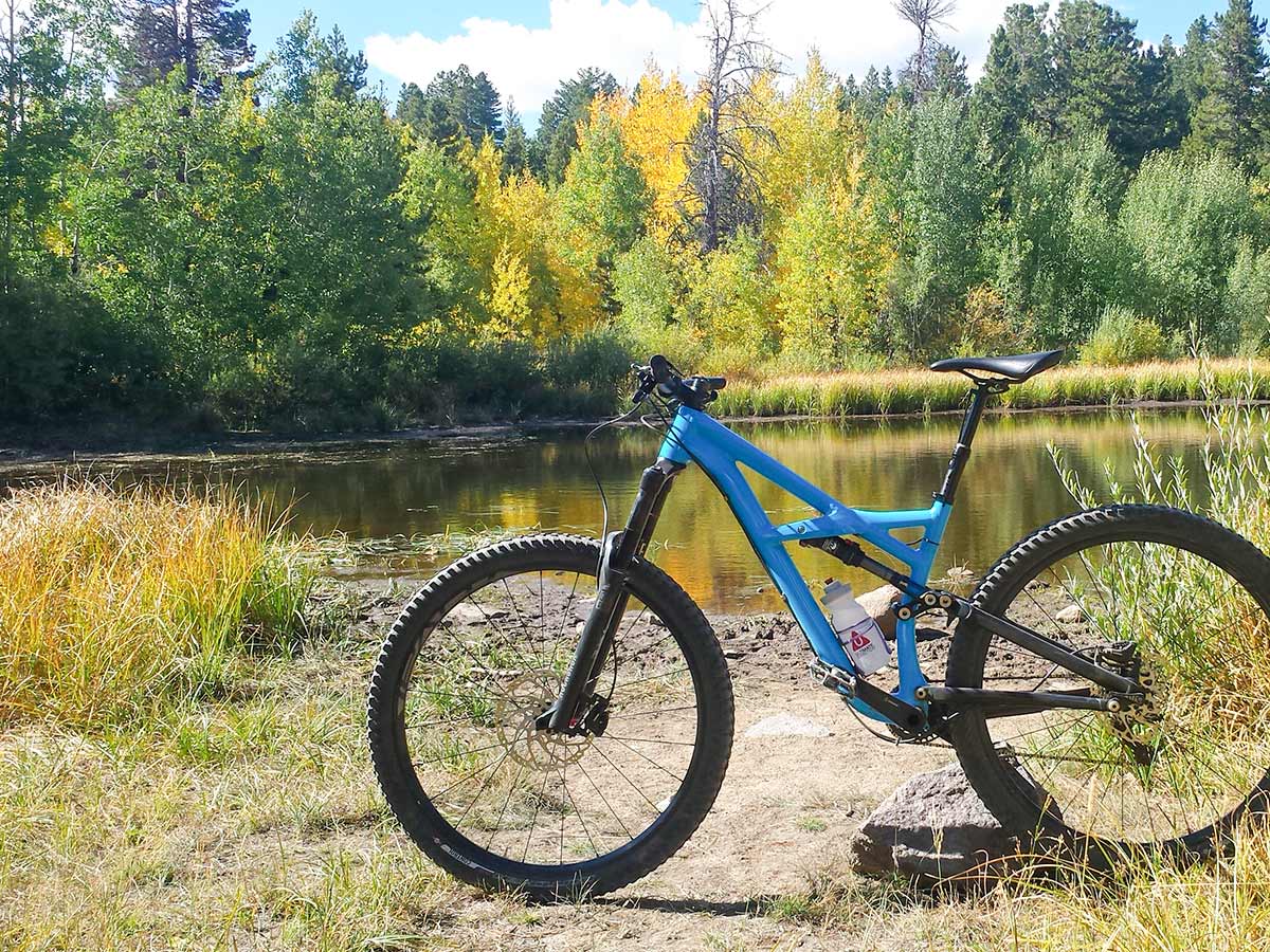
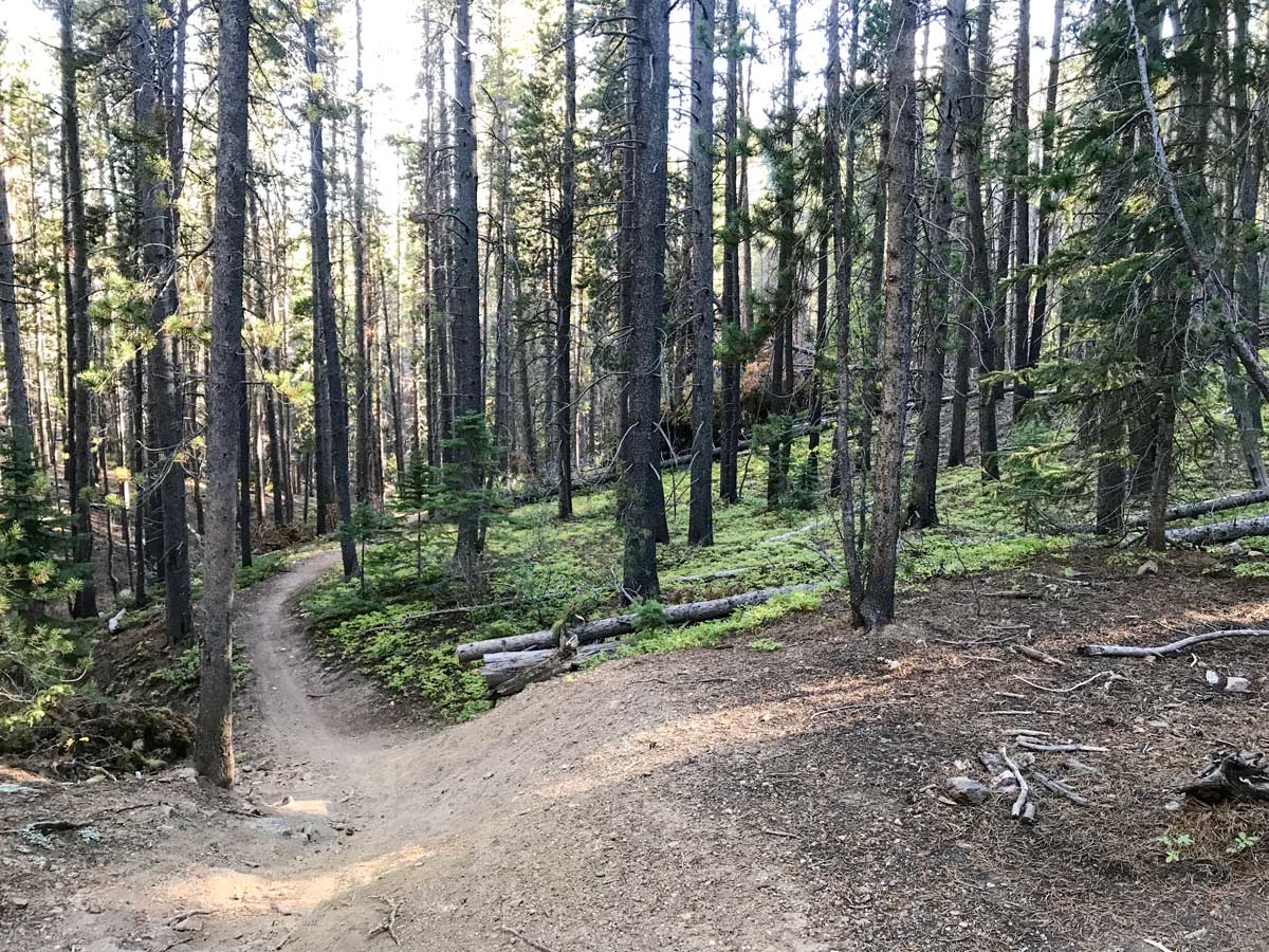
View Photos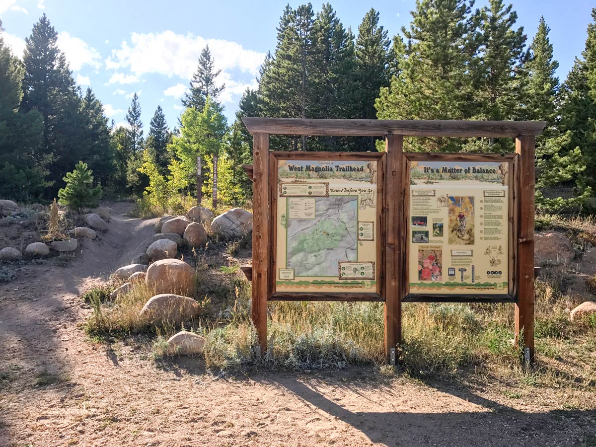
West Magnolia Mountain Biking Trail
Difficulty Rating:
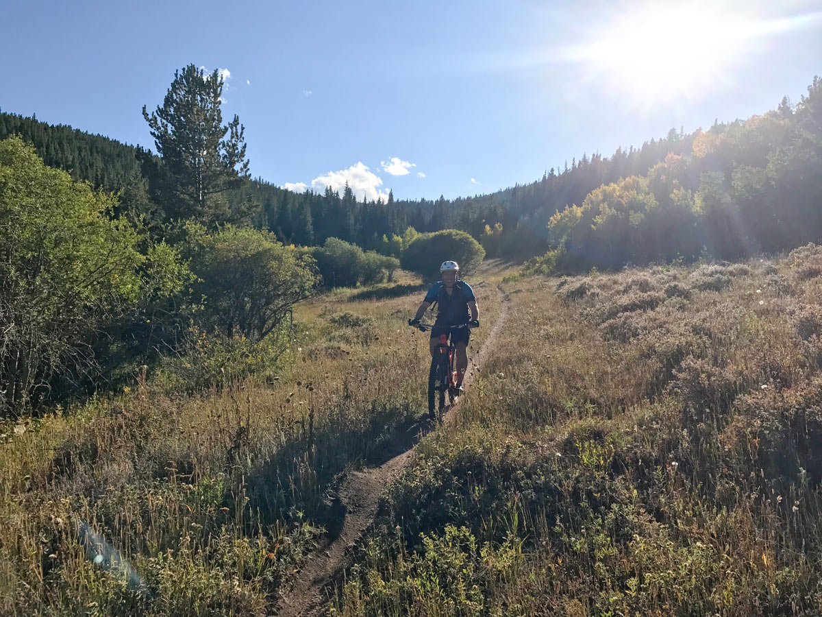
West Magnolia is a spaghetti network of trails that will test your riding abilities along with your navigation skills, but the riding is totally worth the ‘fear of being lost in the woods’ …it’s an adventure!
Getting there
From Boulder, head up Boulder Canyon Dr. (119) to the town of Nederland. At the traffic circle, take the third exit continuing on 119 / Peak to Peak Hwy. The trailhead is located at County Hwy 132-W.

About
| Route Signage | Poor |
| Crowd Levels | Moderate |
| Route Type | Loop |
West Magnolia
Elevation Graph
Weather
Route Description for West Magnolia
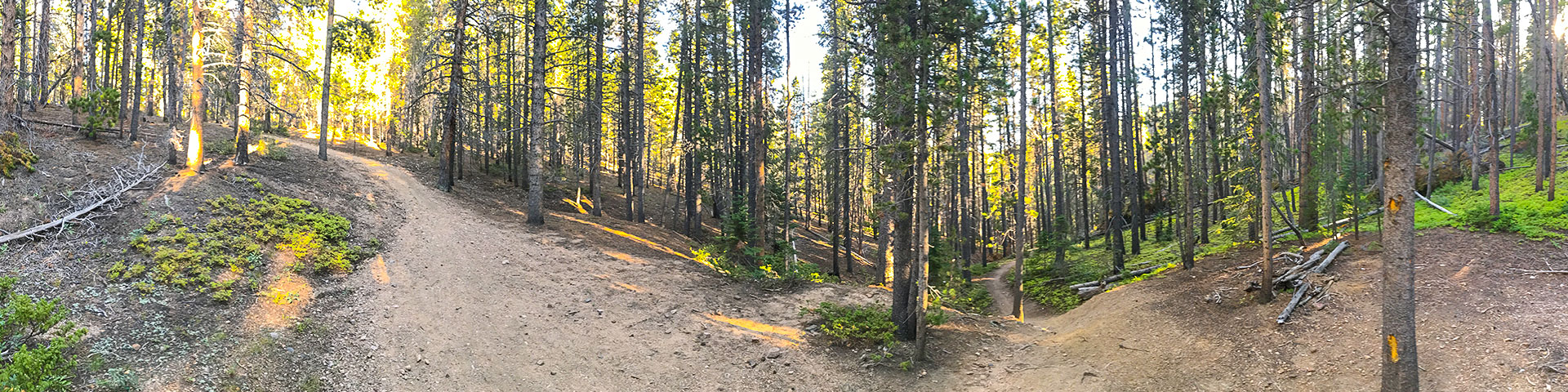
West Magnolia is a ‘choose your own adventure,’ spaghetti network of trails that will test your riding abilities along with your navigation skills. There is a map located at the trailhead which can give you an idea of the area, but be warned, the map and the trails don’t always align with each other, and there are trails that you will want to ride that are completely off the map.
A good way to start is to jump onto Re-Root to the left, this is a fun section of trail that flows well and connects directly into the Hobbit Trails.
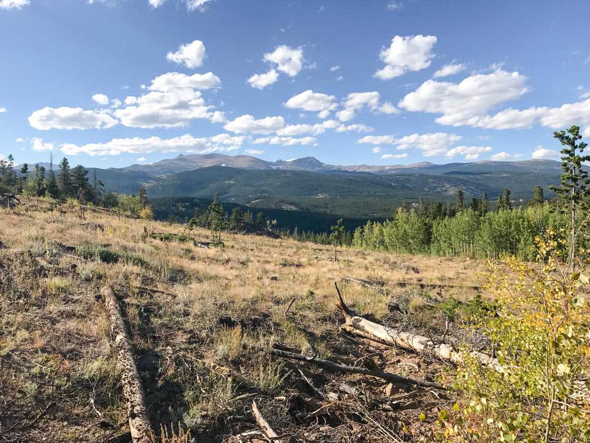
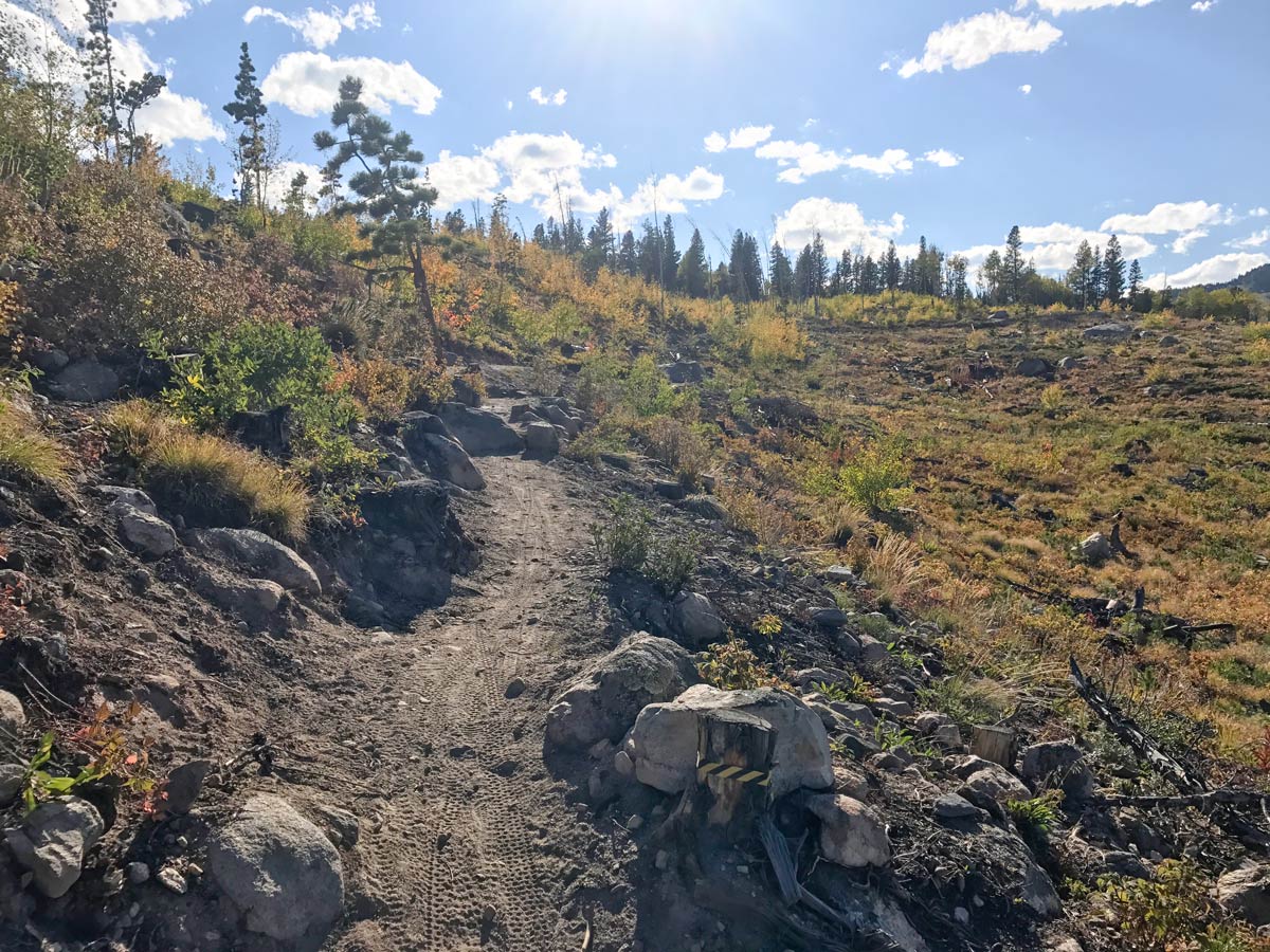
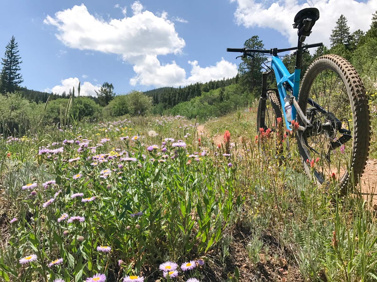
Hobbit 1 is a twisty trail that runs through a section of clear-cut forest for fire prevention and mitigation. Without trees to block your view, you get an awesome look at Golden Gate Canyon State Park off in the distance.
Hobbit 1 drops you right onto Hobbit 2, which also gets you back into the forest for some moderate/difficult sections. Hobbit 2 ends at a campsite and a dirt road. There is a map located at the end of the Hobbit 2 trail, but where you want to go runs off the map.
Cross the dirt road, and start up Hobbit 3, this is the last of the Hobbit Trails and this is also where you start your own adventure! Half way up Hobbit 3, there is an unmarked section of trail that veers off to the left and continues up hill. The goal is to make your way to Lost Meadow Trail and yes, there is a reason it is called Lost Meadow. Chances are you are going to feel lost trying to get there.
It is recommended to have your GPS handy and a map of the area on hand while riding. Wrong turns just add more time on your bike!
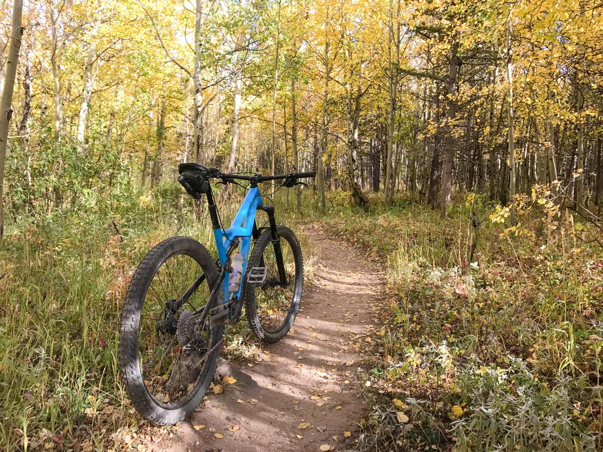
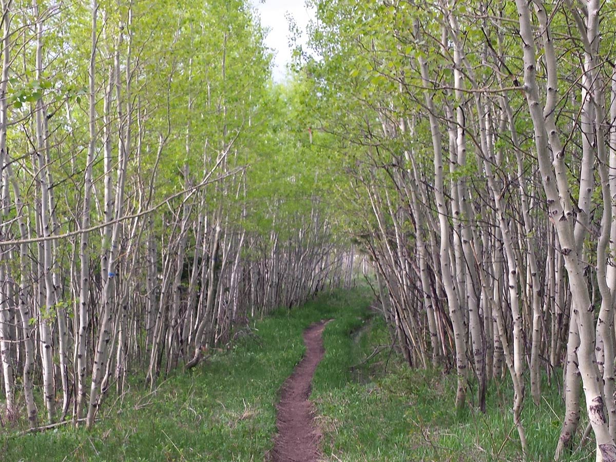
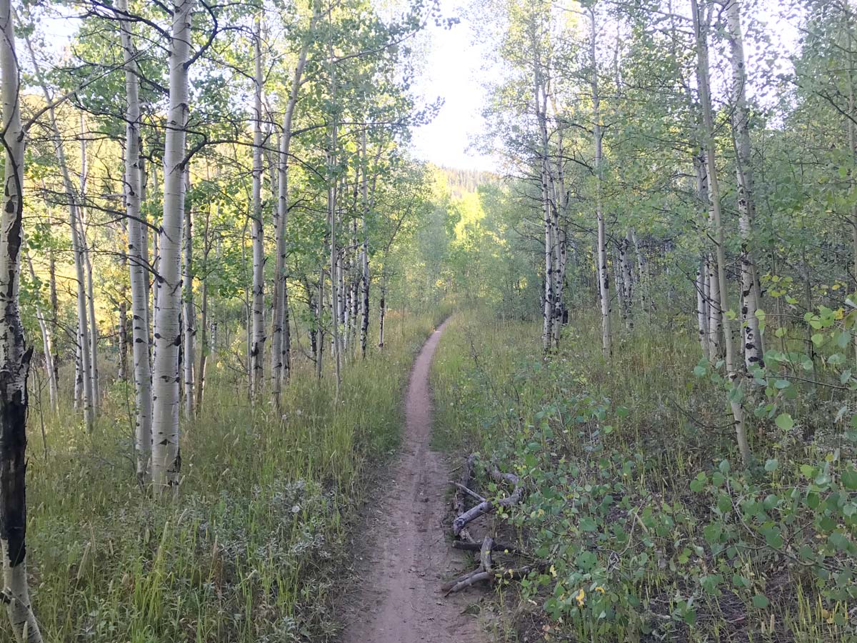
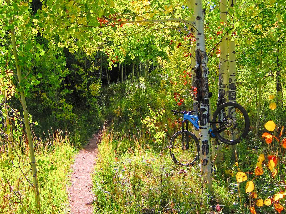
After a steep downhill into a gully, you will climb your way out and into Lost Meadow where it opens up into a small valley with Aspen groves. The trail comes to an unmarked junction. The rule of thumb here is, when in doubt; take the trail to the right and the one that continues up hill. At the junction, you continue up Rock and Roots Trail, if you don’t see an overabundance of rocks and roots, you went the wrong way.
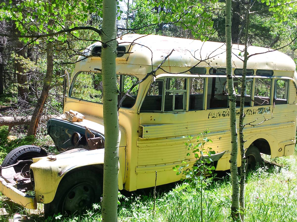
Rock and Roots is the final lung buster climb up to the start of School Bus Trail. Also called Magic School Bus, this is a well-deserved downhill that flies past an old abandoned school bus deep in the forest. How a school bus was able to make it all the way back there is a mystery, and a little creepy. School Bus Trail eventually will get you back to the start of Hobbit 3 and the trail map at the end of Hobbit 2. From there, choose your next adventure!
From here you can return the way you rode up, or you can make your way back to the parking lot by completing another loop. Head back onto Hobbit 3, but instead of veering left go right and make your way to Lookout Trail which puts you at Haul Rd. Turn right and head down Haul Rd. for 0.2 km then take a left onto Whoop – Di – Dos Reroute back to the parking lot.
Insider Hints
Visit the Town of Nederland!
- Where to Eat: Crosscut Pizzeria & Taphouse
- Gear & Supplies: Tin Shed Sports for bike demos and trail information
- Beer: Very Nice Brewery
Primitive camping is permitted at West Magnolia
Highly Recommended: http://www.latitude40maps.com/ (Boulder/Nederland Specific) and can be purchased from pretty much any store in town.

Similar Mountain Biking Trails to the West Magnolia Mountain Biking Trail
Hall Ranch
Hall Ranch is one of the best mountain bike trails along the Front Range! This MTB trail has a little…
Betasso Preserve
Betasso Preserve is a great all-around MTB trail with enough challenges to keep it interesting and test your riding skills.…
East Mag Dot Trails
Riding The Dot Trails feels like you have your own private MTB trail! The Dot Trails are a hidden gem…
Tom Gregory 4 years ago
Some loops of the trails are closed, a lot of challenging features especially if you are looking for something new and different
Cykelly 5 years ago
On West Magnolia, I had to work my way up to ride down and enjoy it. I covered a relatively long distance in a short period of time, seen some nice views, beautiful nature. But it was confusing at times. I had to look for different paths to go through, as some were a bit too challenging or nor really pleasant.