
Lava Point Overlook Trail
View Photos
Lava Point Overlook Trail
Difficulty Rating:
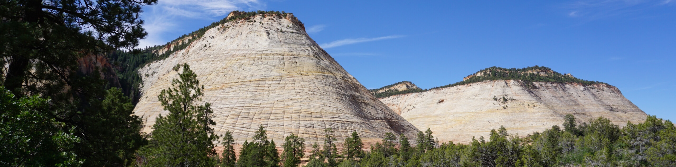
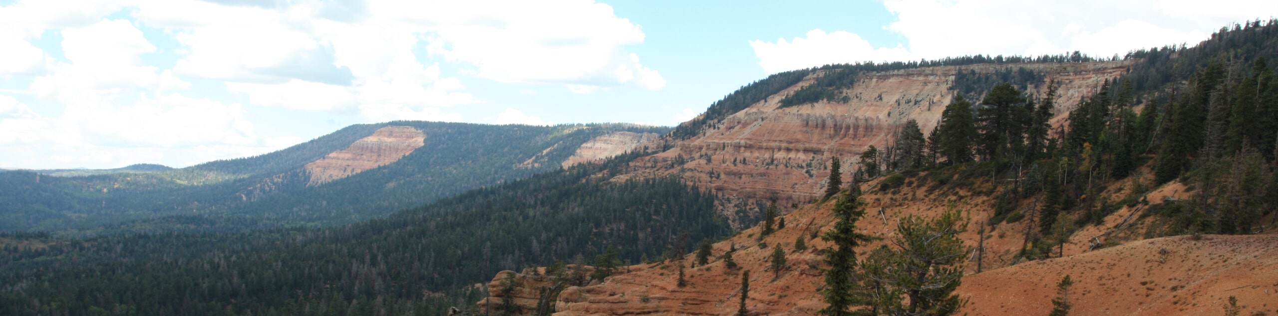
The Lava Point Overlook Trail is a quick, 0.3mi jaunt off of Kolob Terrace Road in Zion National Park. Camping at the outlook is available on a first-come-first-serve basis and is one of the most beautiful spots you can camp for free in Zion National Park. The lookout itself is known for its spectacular sunset vistas.
Getting there
The Lava Point Campground is located off of the Kolob Terrace Road, approximately 25.0mi North of Virgin, Utah.

About
| Backcountry Campground | Lava Point Campground |
| When to do | May to October |
| Pets allowed | No |
| Family friendly | Yes |
| Route Signage | Average |
| Crowd Levels | Moderate to High |
| Route Type | Out and back |
Lava Point Overlook Trail
Elevation Graph
Weather
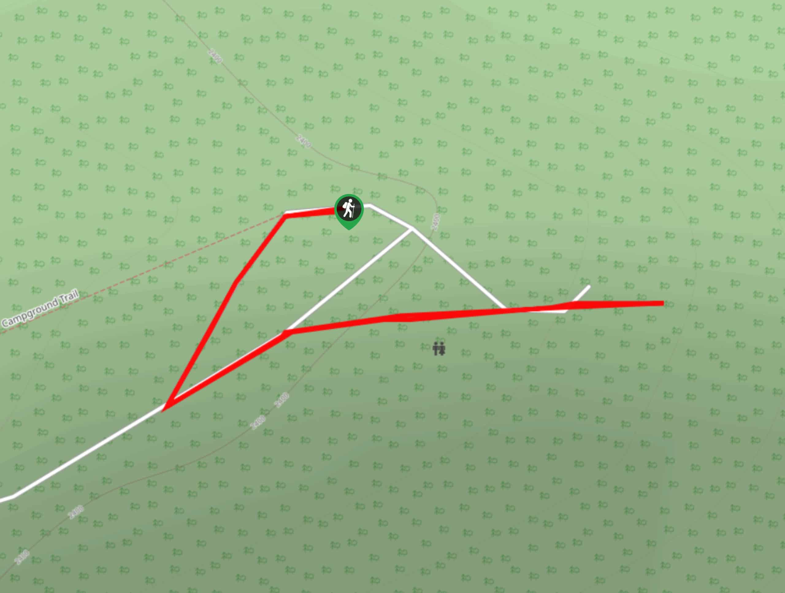
Lava Point Overlook Trail Description
The Lava Point Overlook Trail is a short walk to a beautiful spot to where hikers can enjoy a picnic or watch the sunset. This quick jaunt starts at the Lava Point campground and picnic area. Follow Lava Point Road eastward and take a left when the road turns to arrive at the overlook. The Lava Point Overlook has a campground that is free for visitors, and functions on a first-come-first-serve basis. The campground has pit toilets, and trash cans but no running water or food lockers. The views from the Lava Point Overlook vary from those typically seen in Zion Canyon and the best time to enjoy this outlook is at sunset when the golden light illuminates the valley in a symphony of orange and reds.
Similar hikes to the Lava Point Overlook Trail hike
Zion Ponderosa Checkerboard Trail
The Zion Ponderosa Checkerboard Trail is an easy walk that the whole family can enjoy. This trail is shared by…
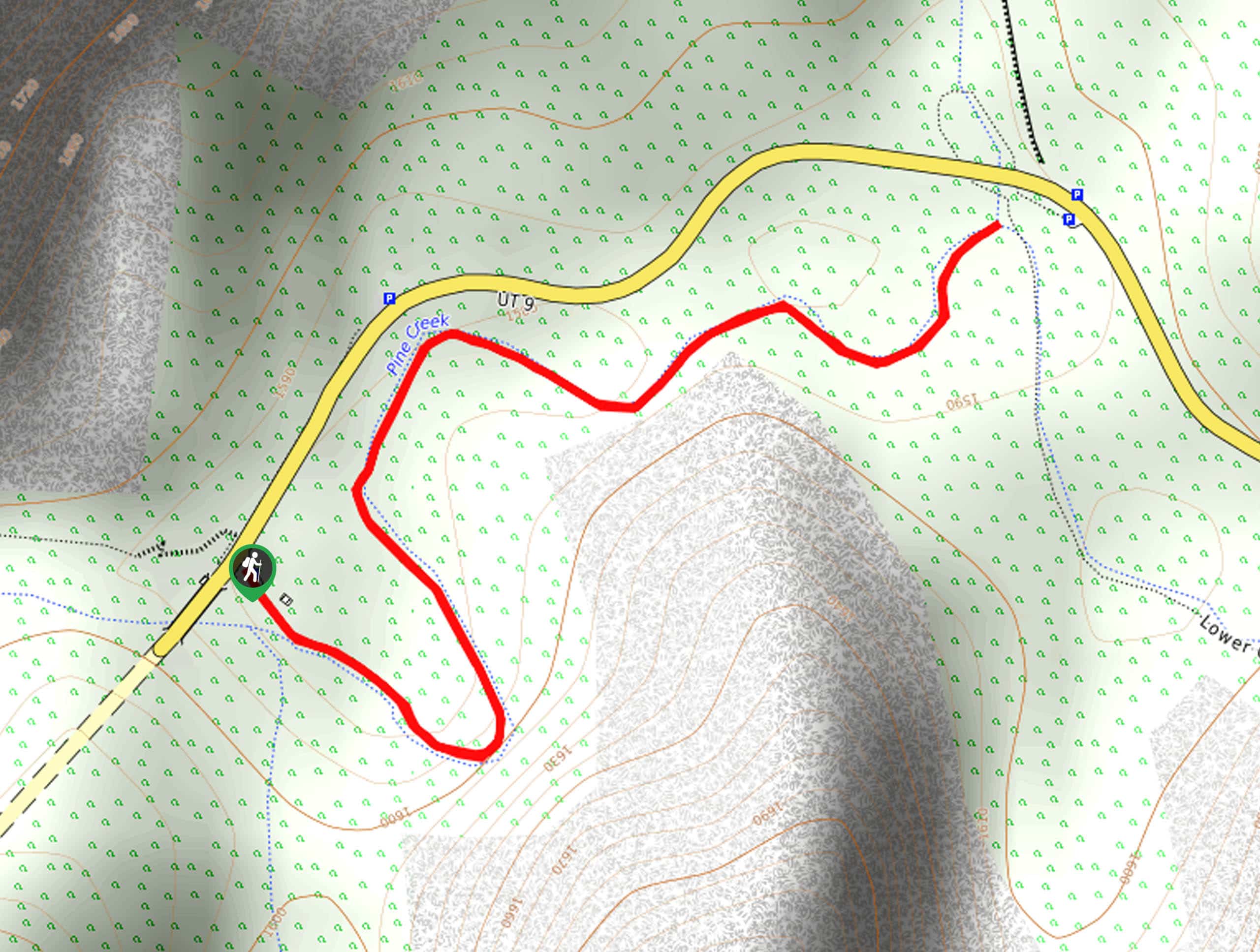
Pine Creek Narrows Trail
The Pine Creek Narrows Trail is a great little hike exploring beautiful slot canyons just off of route 9. This…
Cascade Falls Trail
The Cascade Falls trail is a little-hiked trail just off of route 9 near Springdale, UT. The waterfalls themselves flow…
Comments