Cascade Falls Trail
View Photos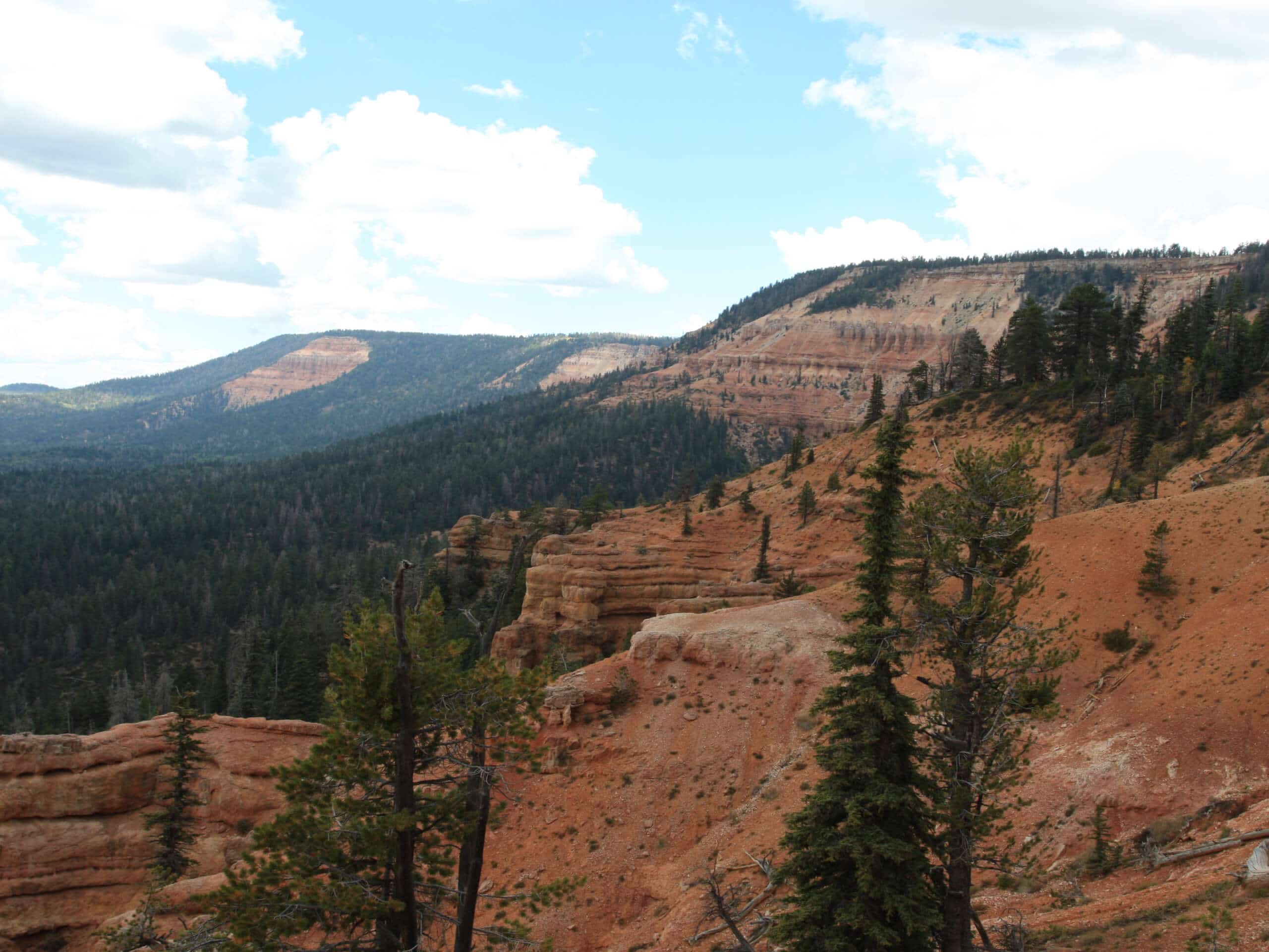
Cascade Falls Trail
Difficulty Rating:
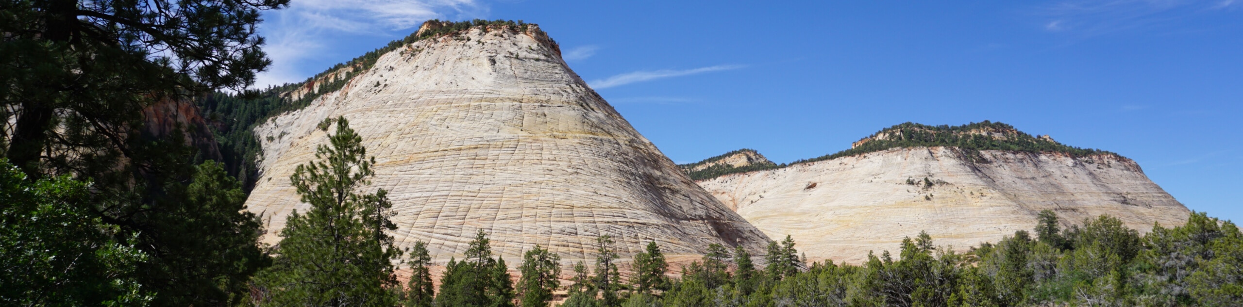
The Cascade Falls trail is a little-hiked trail just off of route 9 near Springdale, UT. The waterfalls themselves flow seasonally, but this hike is beautiful even when the water isn’t flowing. This trail can be a lot of fun for kids, as there is so much in the area to explore.
Getting there
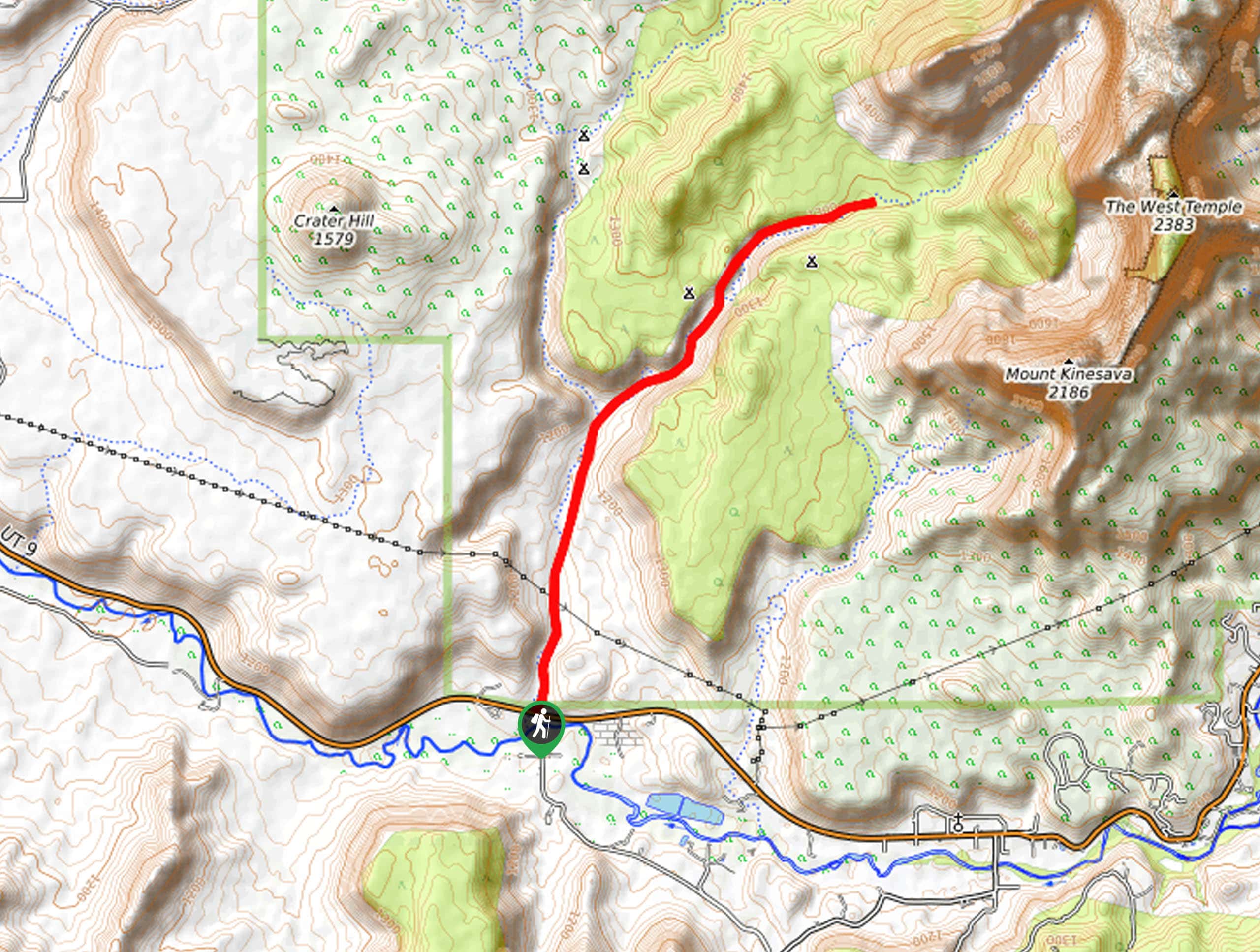
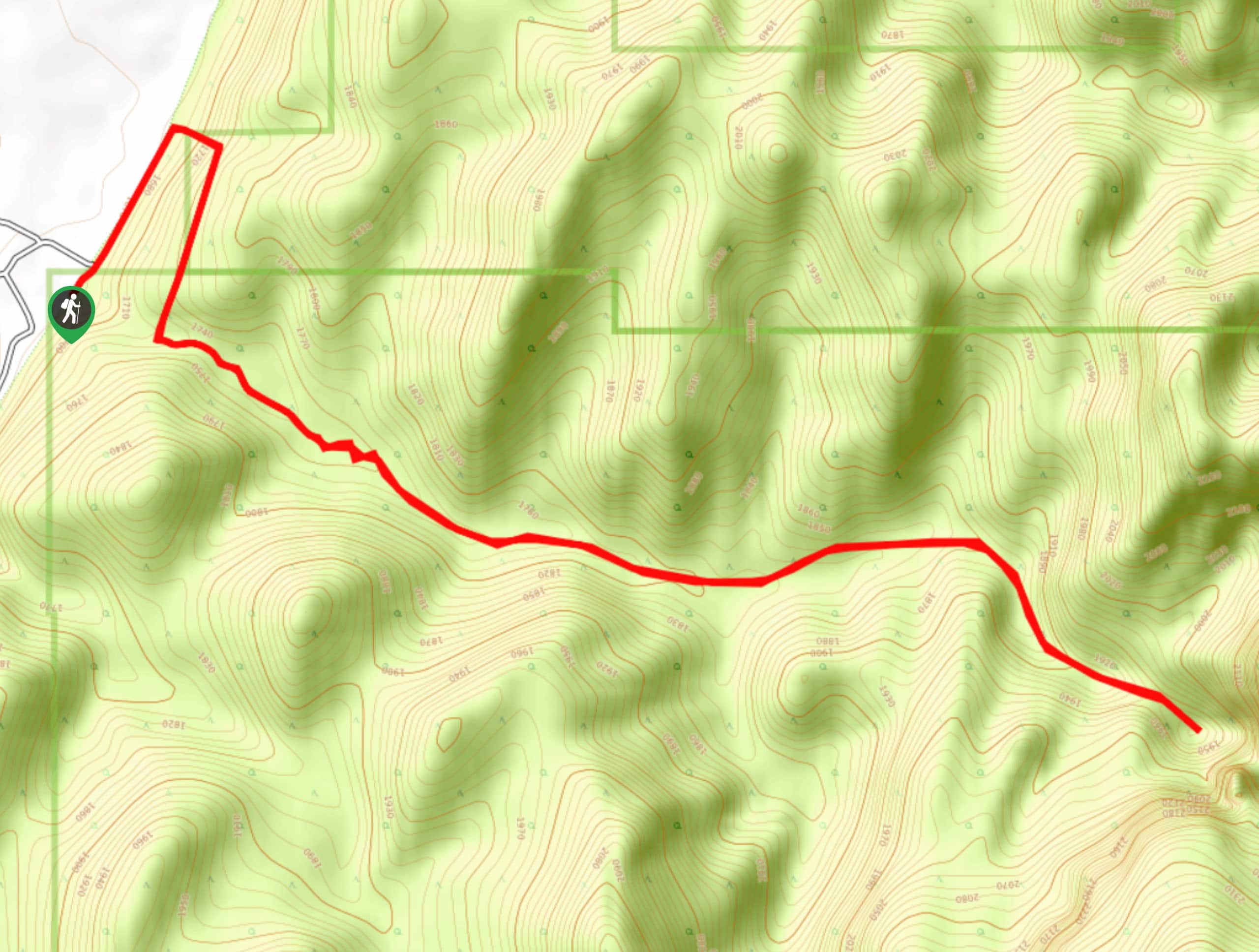
To hike the Cascade Falls Trail, park at the pullout on the west side of the small tunnel along route 9.

About
| Backcountry Campground | No |
| When to do | year-round |
| Pets allowed | No |
| Family friendly | Yes |
| Route Signage | Average |
| Crowd Levels | Low |
| Route Type | Out and back |
Cascade Falls Trail
Elevation Graph
Weather
Cascade Falls Trail Description
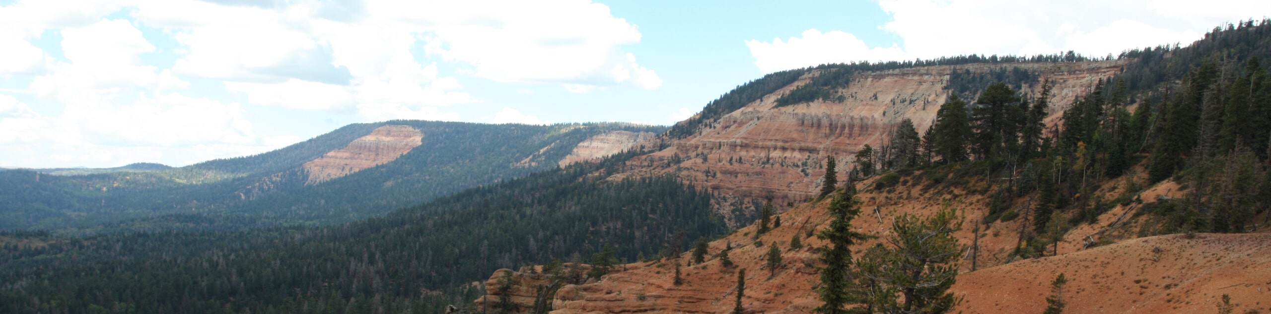
The Cascade Falls Trail is a low-traffic, out-and-back hike that is fun for the whole family. This trail of slickrock and sand is unmaintained, so wear good shoes and be prepared for a little adventure. As you are hiking, keep an eye out for desert wildlife—mule deer are often seen grazing along this trail. If you are lucky enough to see critters, remember not to feed them, and to give them lots of personal space.
From the pullout parking area, head under the road to the north side via the tunnel, and follow the wash north. Pick your way along the rocks and boulders, and take lots of time to explore the trail as it tracks up through the canyon.
After approximately one mile, the canyon will narrow and become impassible. This is a good spot to take a rest before turning back and following the wash back to the car.
Similar hikes to the Cascade Falls Trail hike
Zion Ponderosa Checkerboard Trail
The Zion Ponderosa Checkerboard Trail is an easy walk that the whole family can enjoy. This trail is shared by…
Scoggin’s Wash
The Scoggin’s Wash Trail is a true desert hike that links the more popular Coalpits Wash Trail with the iconic…
Camp Creek Trail
The Camp Creek Trail is a rarely visited path down a beautiful box canyon in the Kolob section of Zion.…
Comments