
Lembert Dome hike
View Photos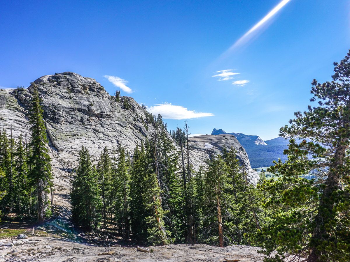
Lembert Dome hike
Difficulty Rating:
The hike up Lembert Dome is one of the easier ways to get to the top of anything in Yosemite National Park. Get great views over Tuolumne Meadows and stop for a snack when you're done with the walk at the Tuolumne Meadows Grill.
Getting there
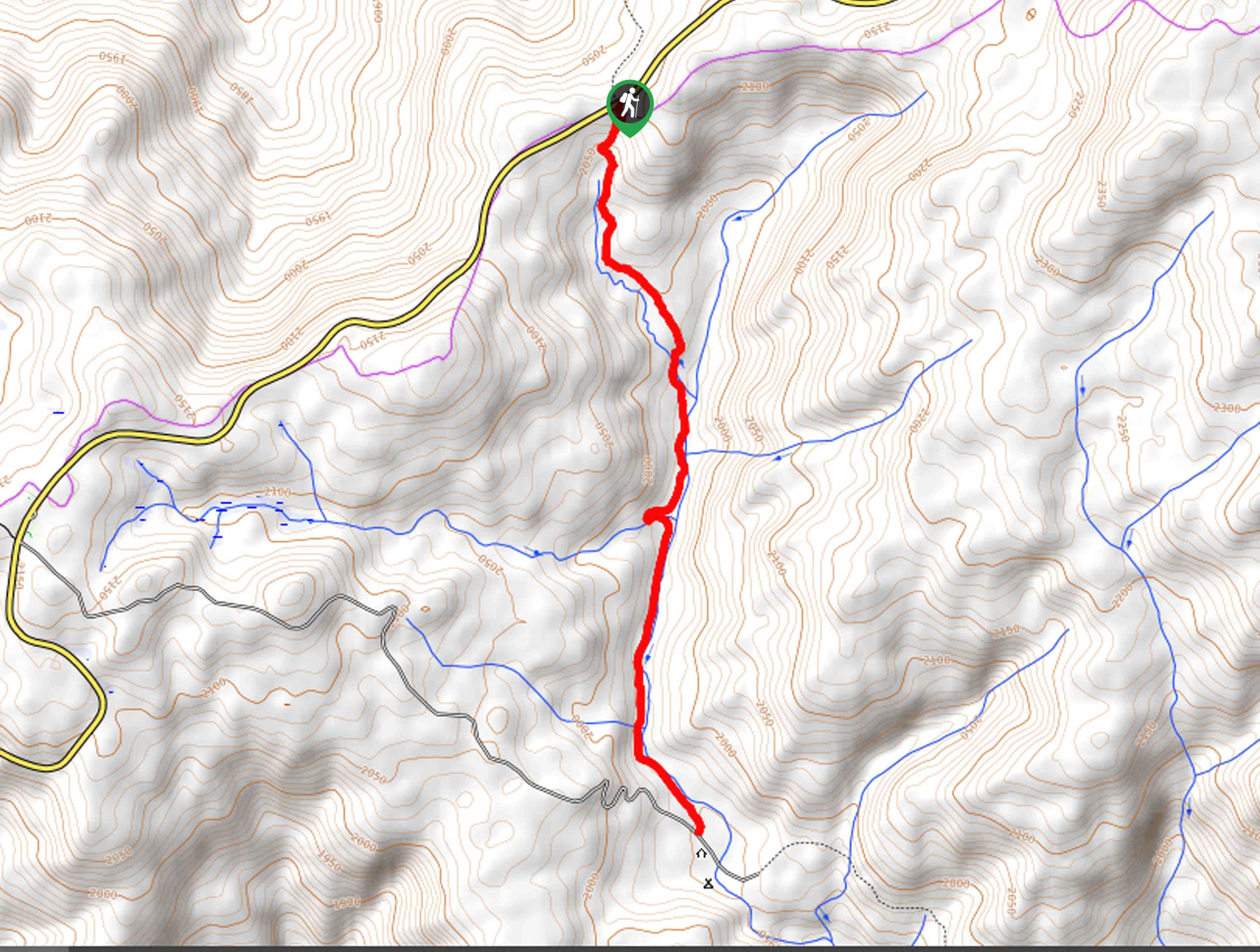
From the Crane Flat gas station take the Tioga Road (Highway 120) east for approximately 41.6mi, just past Tuolumne Meadows Campground to the Lembert Dome trail head.

About
| When to do | June through September |
| Backcountry Campsites | No |
| Toilets | Tuolumne Shop |
| Family friendly | No |
| Route Signage | Poor |
| Crowd Levels | Moderate |
| Route Type | Out and back |
Lembert Dome
Elevation Graph
Weather
Route Description for Lembert Dome
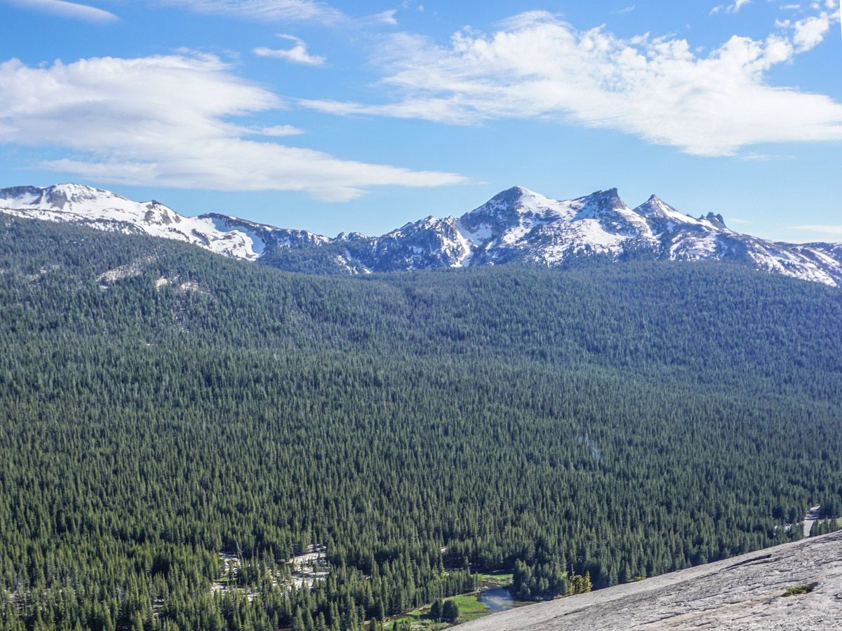
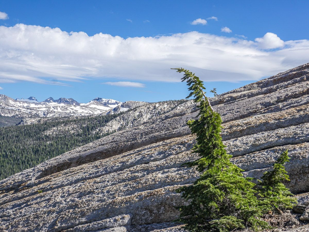
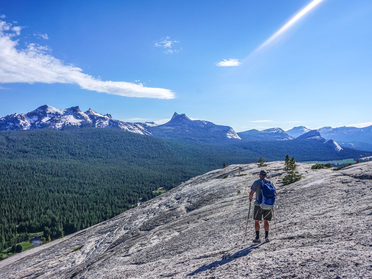
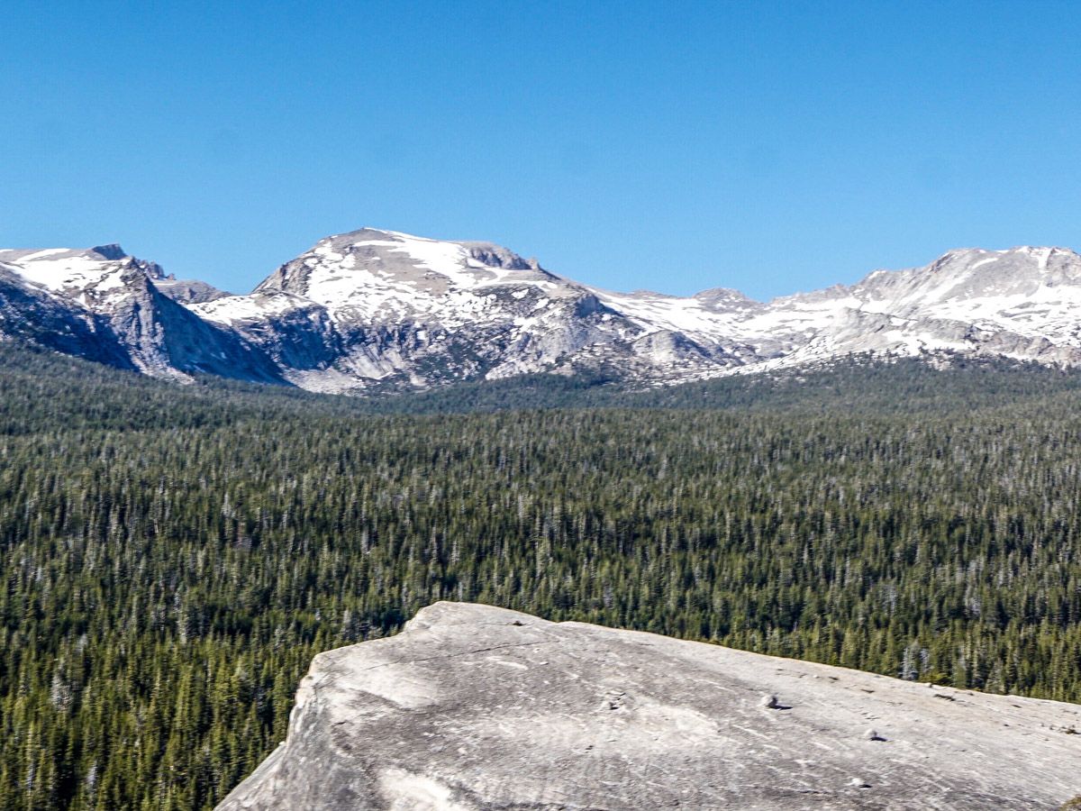
This is a great way to get a summit without a long arduous journey. To get to the summit it involves walking on some steep granite, so do not attempt when it is wet. The views of the Tuolumne area are majestic.
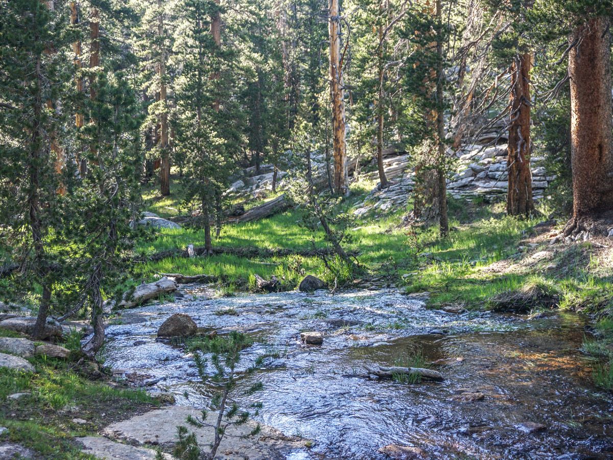
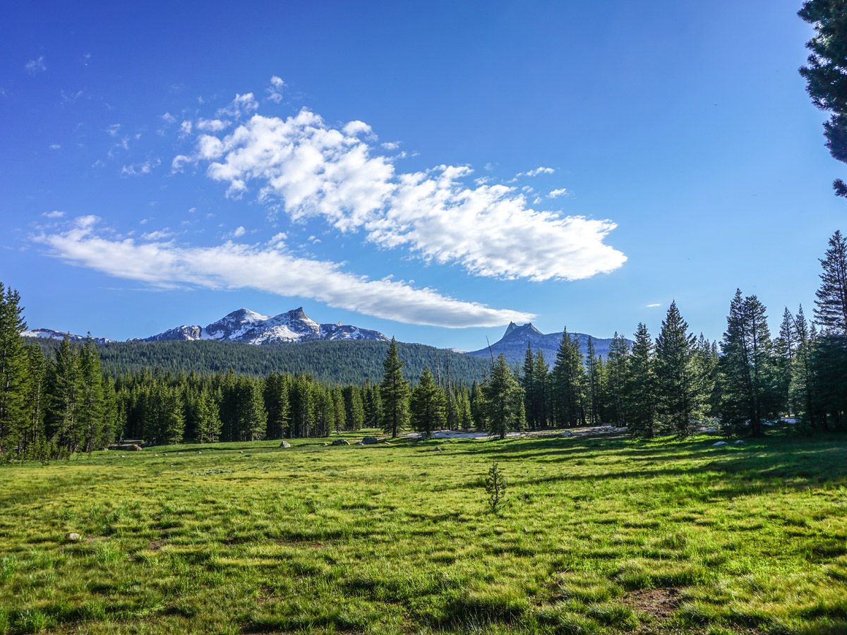
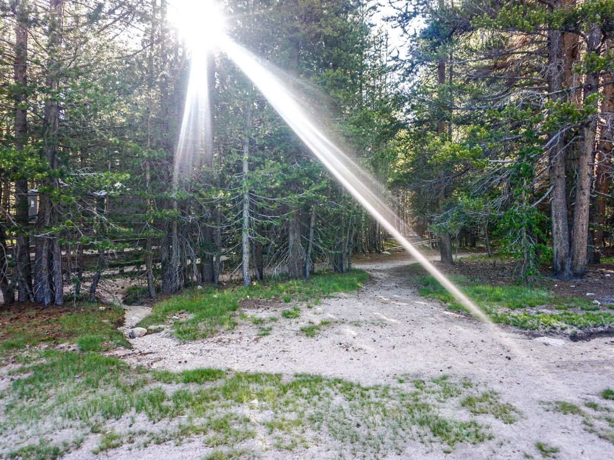
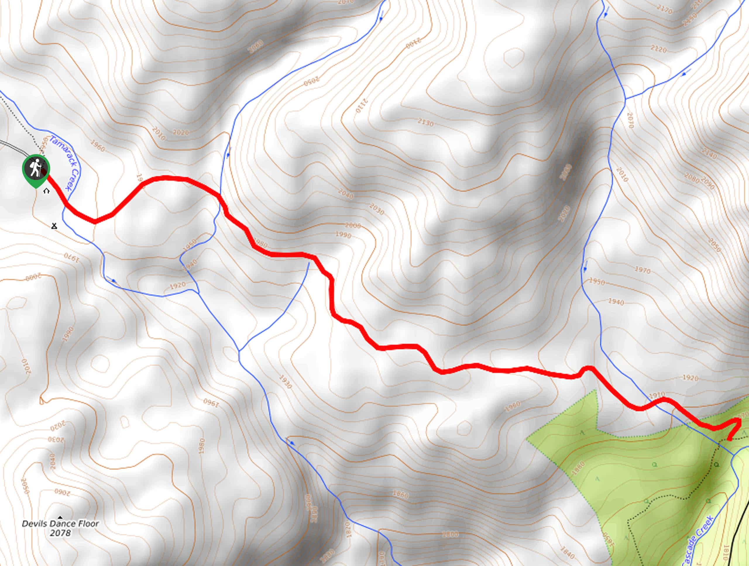
The path starts at the far end of the parking lot, NOT the trail leading up from the center of the parking lot with the “Lembert Dome” sign. Head to the far end of the parking lot and follow a wide, well signposted trail up through meadows and forests, crossing a few streams. Climbing slowly, you will be enveloped in the gorgeous beauty of the forest and its underbrush.
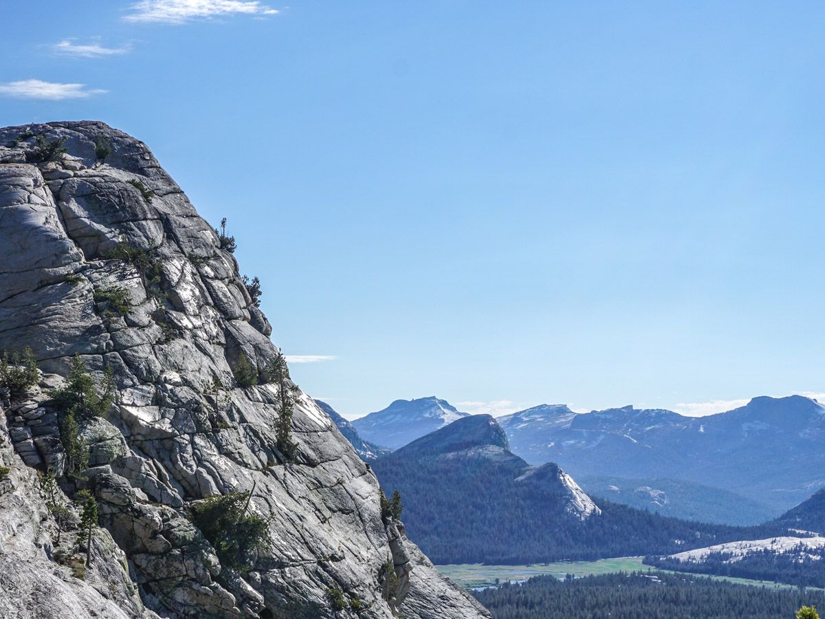
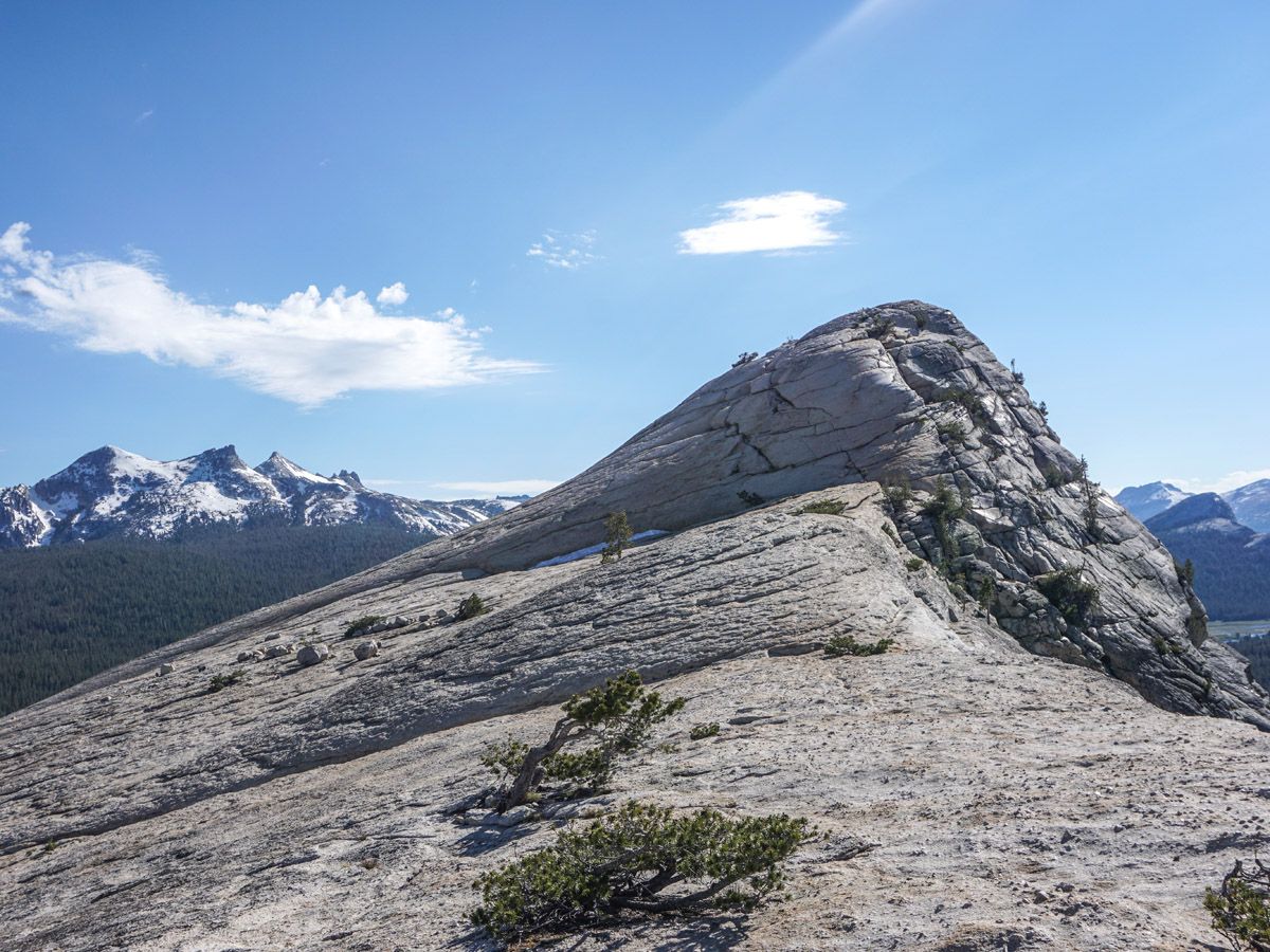
You will find yourself turning right to continue along a bare rock ridge after about an hour of hiking. This is the final ascent of the dome. Hike up along the rock to a large plateau with boulders. From here the summit is clearly visible, however the granite is very steep. Contour around to the far side of the dome and switchback your way up to the very top.
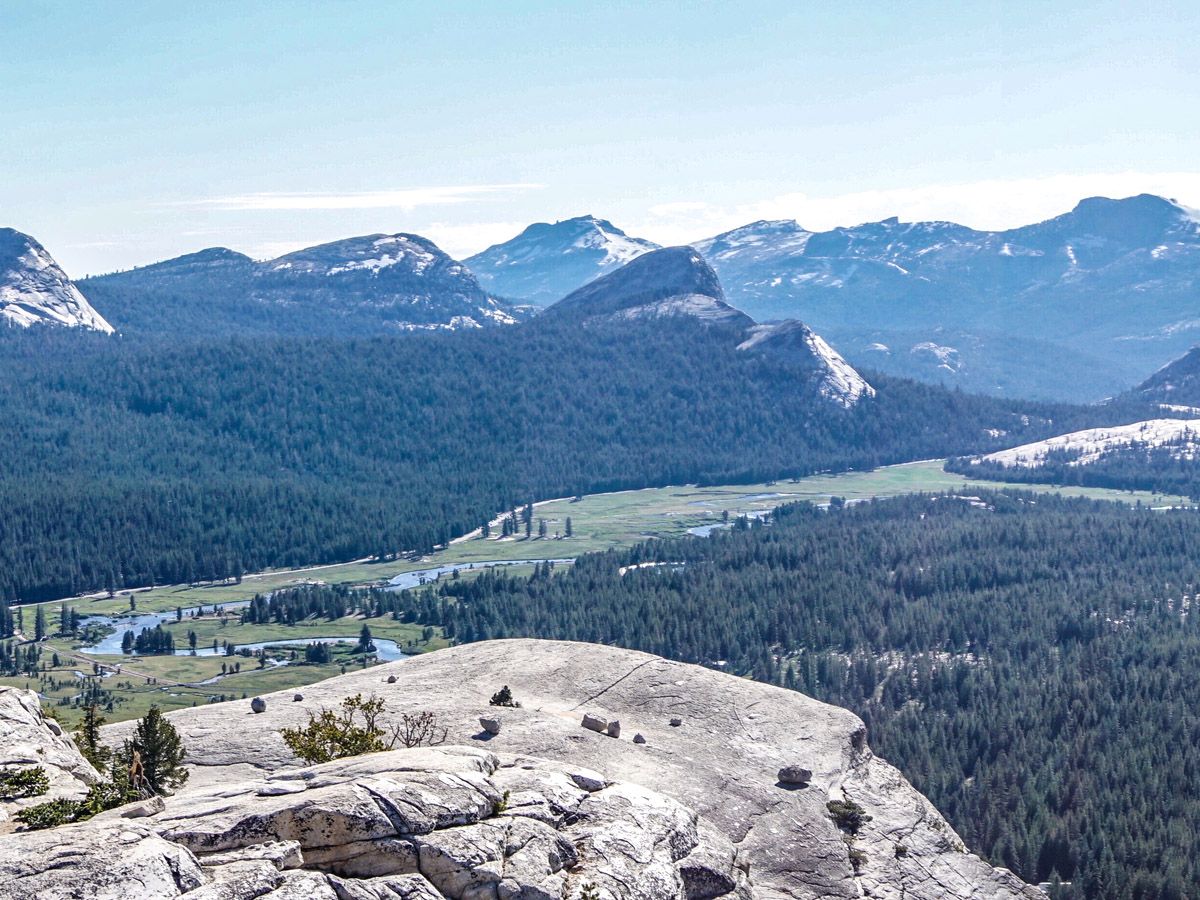
You will be able to see the meadows beside Tioga Road, and the numerous mountains that surround the northern Yosemite region. Do it close to sunset for magnificent colors for photos, but make sure to leave enough time to get down!
If you want to find more great hikes in Yosemite, check out Clouds Rest, Sentinel Dome, Yosemite Valley or Panorama Trail!
Insider Hints
Do not attempt this when it is wet out, the top is slippery.

Similar hikes to the Lembert Dome hike

Chain Lakes Hike
Explore one of the more secluded trails in Yosemite National Park along the Chain Lakes Hike. This wonderful trail exposes…
Cascade Creek Trail
The Cascade Creek Trail is a great adventure atop Yosemite Valley’s northern rim that boasts breaking views of the lush…
Tamarack Creek Trail
The Tamarack Creek Trail is an easy-going, family-friendly hike in Yosemite that boasts wonderful scenes of vibrant wildflowers in the…
Francine Robertson 4 years ago
This trail provided an amazing view of the valley. Will definitely do it next time.
Clara Fields 4 years ago
Amazing view of the valley. Will definitely do it again!
Kenny Walks 4 years ago
Beautiful hike. Steep terrain in spots but well-maintained trail. Nice spot for a picnic.
Gordon Y. 4 years ago
Beautiful views from the top, short sweet hike, covered by trees. The latter part is fun too - balancing on granite slabs as you climb to the top of the dome. We also visited the dog lake on the way back. Great detour!
Archimedez L. 4 years ago
Nice short hike. Not very crowded too. The views of the Tuolumne were remarkable.
Chris Stutter 4 years ago
I hiked up Lembert Dome alone the first time years ago and it was great to share this gorgeous hike of views.
Yael M. 4 years ago
I was bothered by the lack of signages in the area. I hope they can improve it.
MissGiggles 4 years ago
Hike to the Lembert dome is not really hard. If you don’t hike much, this trail is a moderately tough uphill slog and will challenge you. It was a really nice view!
Wyatt Discovery 5 years ago
Tuolumne Meadows looked so brilliant! Definitely a must visit!
angelwest 5 years ago
Beautiful granite mountains and aspen forest. Such an incredible scenery to look at.