West Witton to Penhill Walk
View Photos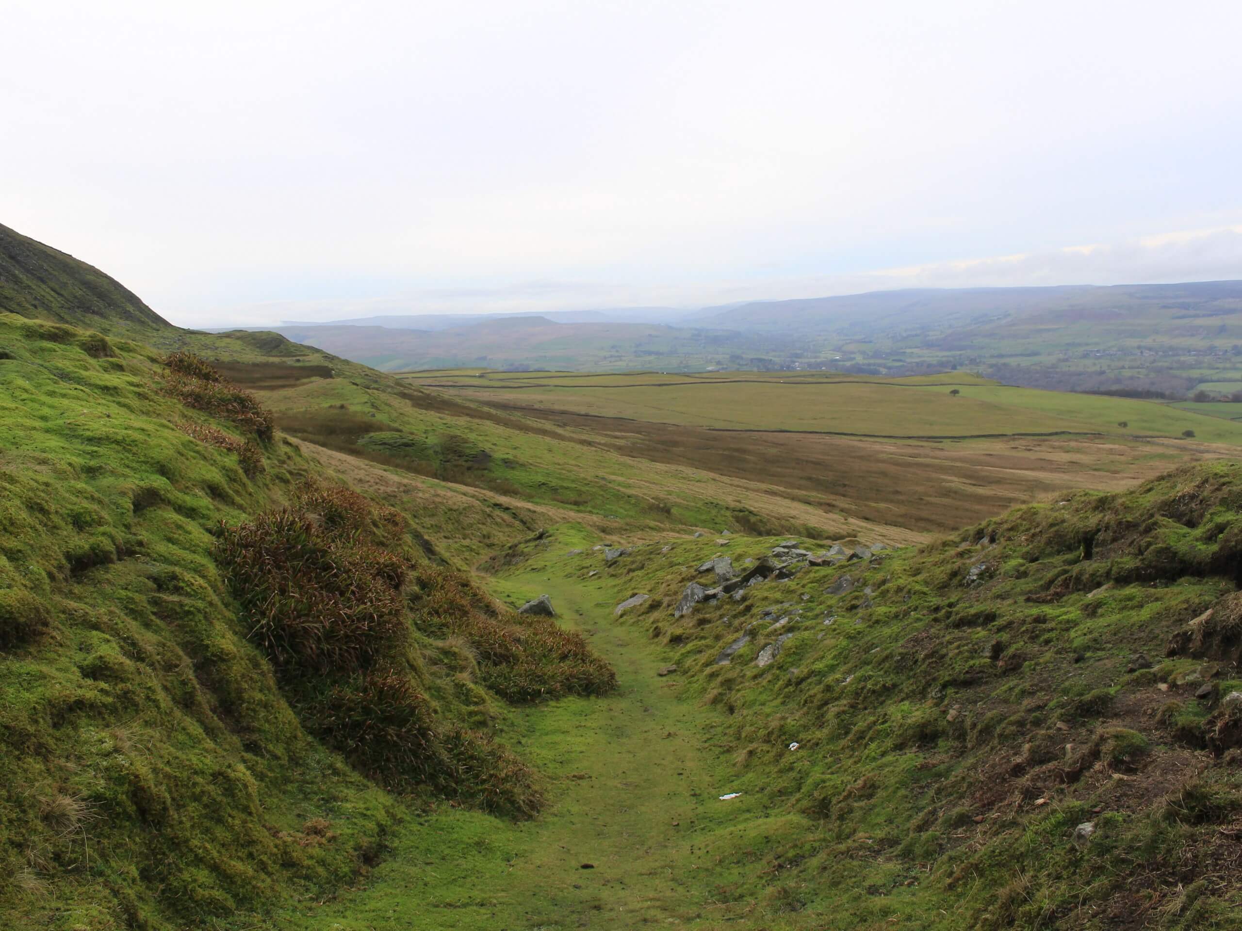
West Witton to Penhill Walk
Difficulty Rating:
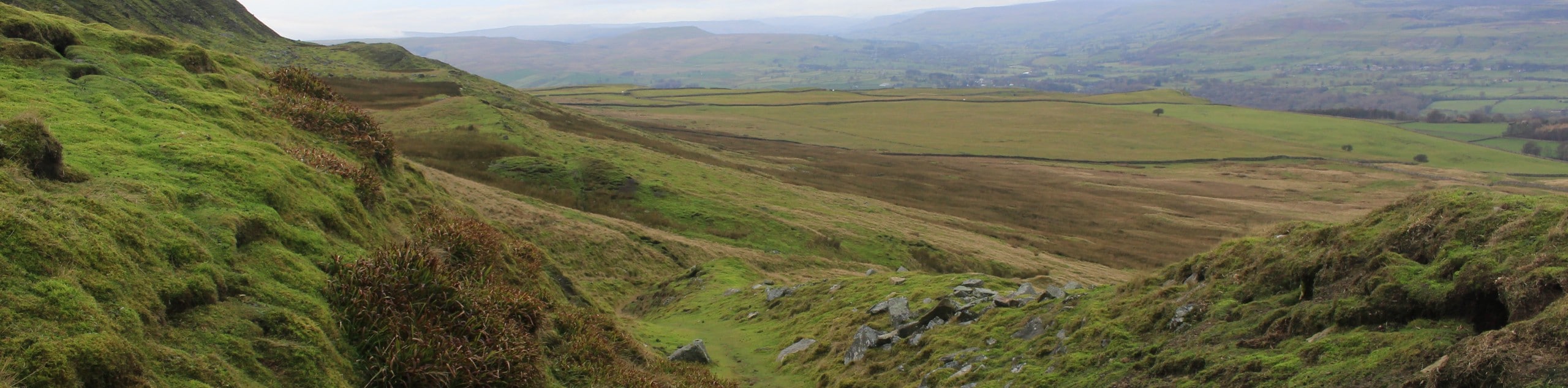
The West Witton to Penhill Walk is a beautifully scenic, but challenging at times, trail that will take you up the hillside for gorgeous views of the surrounding landscape. While out on the trail, you will climb up the steep terrain to the plateau along the Height of Hazely before descending the hillside to pass by the Penhill Preceptory, a place that once served as a rest stop for knights travelling to the Holy Land during The Crusades. This is a great route full of natural beauty and unique historical sites.
Getting there
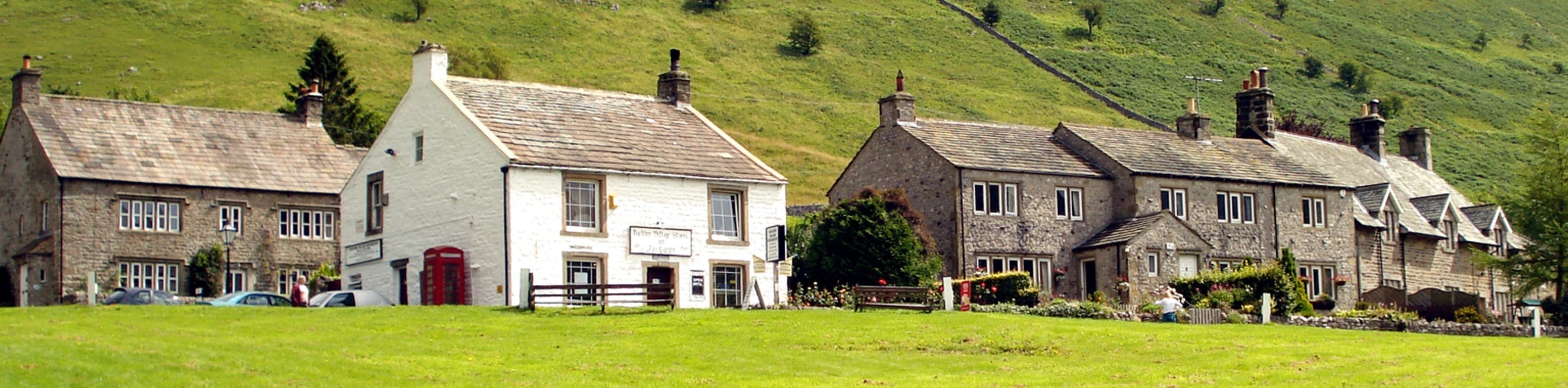
To reach the trailhead for the West Witton to Penhill Walk from Leyburn, drive to the southwest for 3.6mi along Wensley Road. You will have to locate parking somewhere in the village.

About
| Backcountry Campground | No |
| When to do | March-November |
| Pets allowed | Yes - On Leash |
| Family friendly | Older Children only |
| Route Signage | Average |
| Crowd Levels | Moderate |
| Route Type | Circuit |
West Witton to Penhill Walk
Elevation Graph
Weather
West Witton to Penhill Walk Description
For those walkers that don’t mind a bit of a challenge in the form of steep uphill climbs, the West Witton to Penhill Walk will produce dividends, allowing you to experience the natural beauty of Yorkshire Dales National Park, in addition to a unique historical site along the latter half of the trail.
Setting out from the trailhead in West Witton, you will make your way west for a short distance along the road, before turning to the south to begin the climb through the countryside. This portion of the walk features some fairly steep sections of trail, so take your time and focus on the beautiful scenery as you work your way uphill. After reaching a plateau at the hilltop known as the Height of Hazely, you will enjoy breathtaking views over the rolling green countryside, charming villages, and winding rivers that characterize the landscape.
After taking in the views, you will make your way downhill to the northwest, carefully traversing the steep terrain until you arrive at the historic remnants of the Penhill Preceptory. Stone walls and small stone coffins are all that remain of a rest stop that was built by the Knights Templar and used by crusading knights travelling to the Holy Land. From here, you will make your way to the east across the countryside, eventually arriving back in West Witton where you began your adventure.
Similar hikes to the West Witton to Penhill Walk hike
Old Gang Smelt Mill and Reeth High Moor Walk
The Old Gang Smelt Mill and Reeth High Moor Walk is a rough and rugged adventure that will take you…
Hawes and Sedbusk Walk
The Hawes and Sedbusk Walk is a great family-friendly adventure in Yorkshire Dales National Park that will take you through…
Buckden Circular Walk
The Buckden Circular Walk is a lovely adventure in Yorkshire Dales National Park that will provide scenic views overlooking Wharfedale…
Comments