Settle and River Ribble Walk
View Photos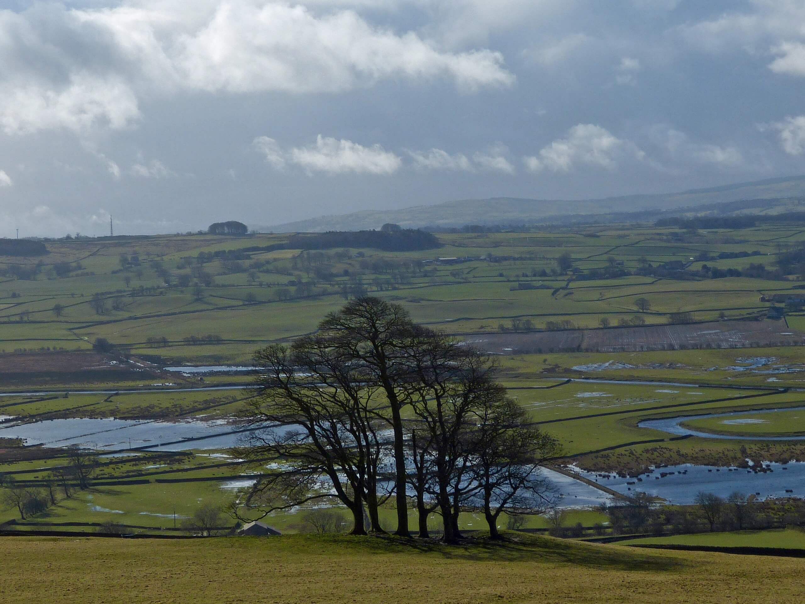
Settle and River Ribble Walk
Difficulty Rating:
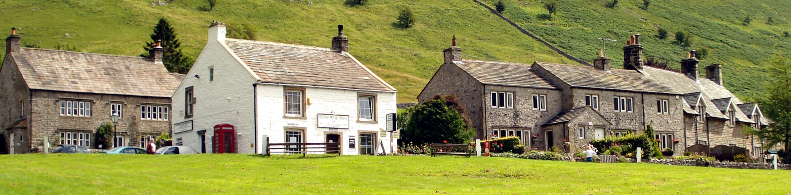
The Settle and River Ribble Walk is an intermediate-length route in Yorkshire Dales National Park that will expose you to some amazing sights throughout a beautiful valley. While out on the trail, you will follow along the River Ribble and pass through the villages of Langcliffe and Stainforth before climbing uphill to view the Victoria and Albert caves. This trail features so many of the natural highlights around Settle that it would be a shame to skip it!
Getting there
To get to the trailhead for the Settle and River Ribble Walk from the Settle rail station, head east along Station Road for 475ft and turn right onto Duke Street. After 130ft, you will arrive at the trailhead. You will need to find roadside parking nearby.

About
| Backcountry Campground | No |
| When to do | March-November |
| Pets allowed | Yes - On Leash |
| Family friendly | Older Children only |
| Route Signage | Average |
| Crowd Levels | Moderate |
| Route Type | Lollipop |
Settle and River Ribble Walk
Elevation Graph
Weather
Settle and River Ribble Walk Description
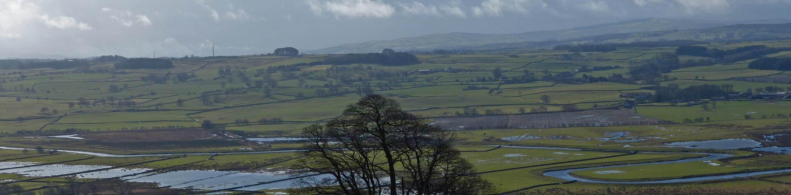
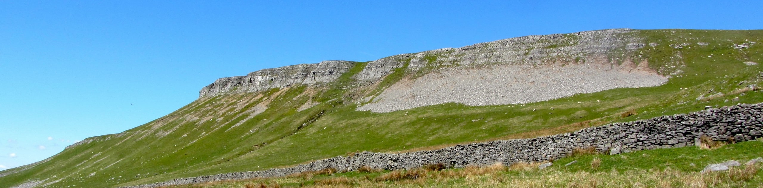
If your aim is to pack as many natural highlights into one trail as possible, then you should definitely check out the Settle and River Ribble walk in Yorkshire Dales National Park. The route features a lovely riverside setting, charming and historic villages, a gushing waterfall, intriguing caves, and limestone rock formations. Mix in some amazing views of the surrounding landscape of the moor and you have the perfect recipe for a stunning walk in the Yorkshire Dales.
Setting out from the trailhead, you will make your way north to leave the town of Settle behind and traverse the open terrain along the valley floor. Following along the winding banks of the River Ribble, you will pass through the village of Langcliffe and continue onto the next village known as Stainforth.
From here, you will turn to the southeast and climb up the steep hillside of the moor to reach the beautifully scenic destination of the Catrigg Force waterfall. Continuing uphill, you will eventually pass the Albert and Victoria caves that, when they were excavated, revealed layers of human and animal history dating back 130,000 years. Keep to the southeast to make your way around the rock formation known as the Warrendale Knotts before descending the hillside on the return into Settle.
Similar hikes to the Settle and River Ribble Walk hike
Old Gang Smelt Mill and Reeth High Moor Walk
The Old Gang Smelt Mill and Reeth High Moor Walk is a rough and rugged adventure that will take you…
Hawes and Sedbusk Walk
The Hawes and Sedbusk Walk is a great family-friendly adventure in Yorkshire Dales National Park that will take you through…
Buckden Circular Walk
The Buckden Circular Walk is a lovely adventure in Yorkshire Dales National Park that will provide scenic views overlooking Wharfedale…
Comments