Popo Agie Indian Trail
View Photos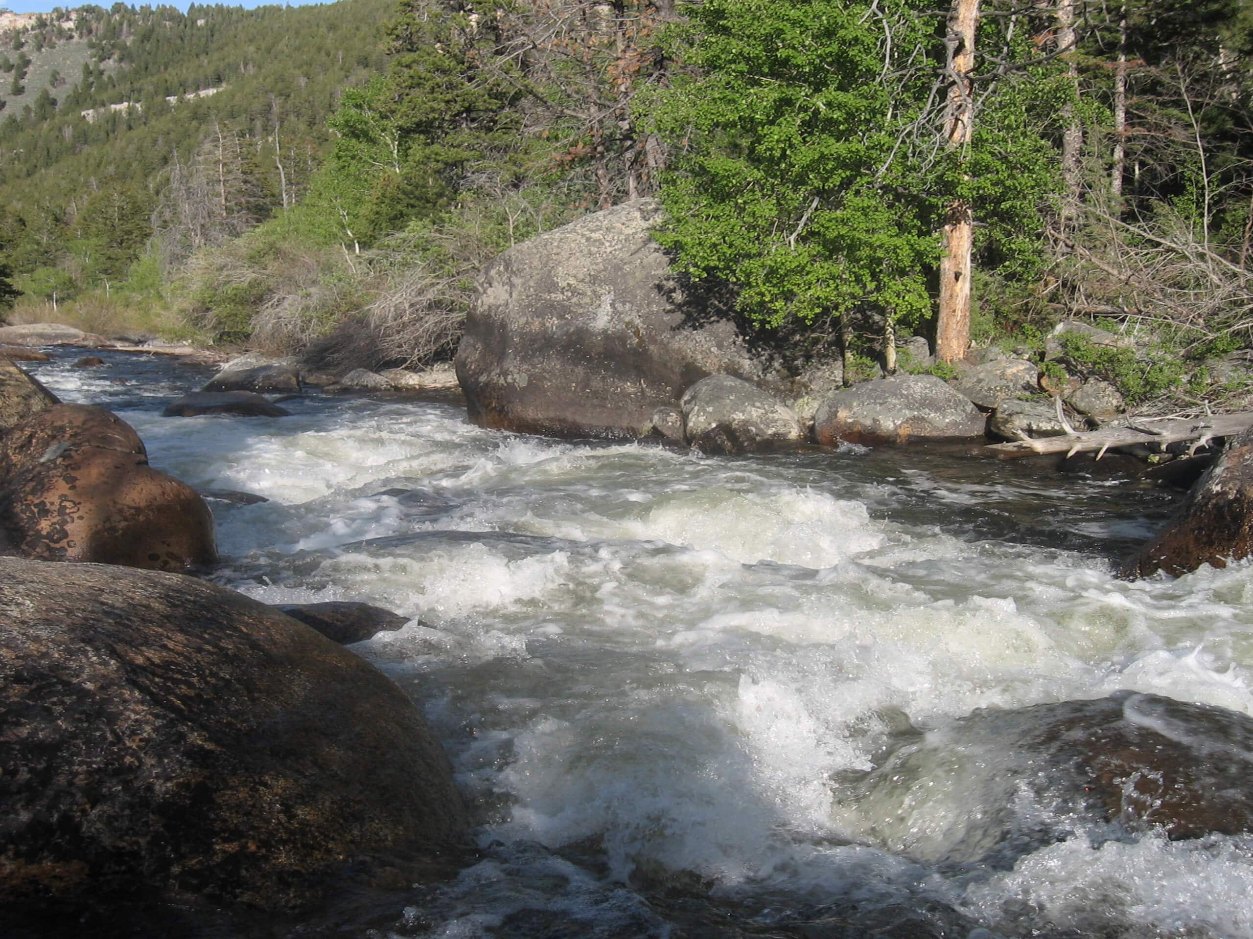
Popo Agie Indian Trail
Difficulty Rating:
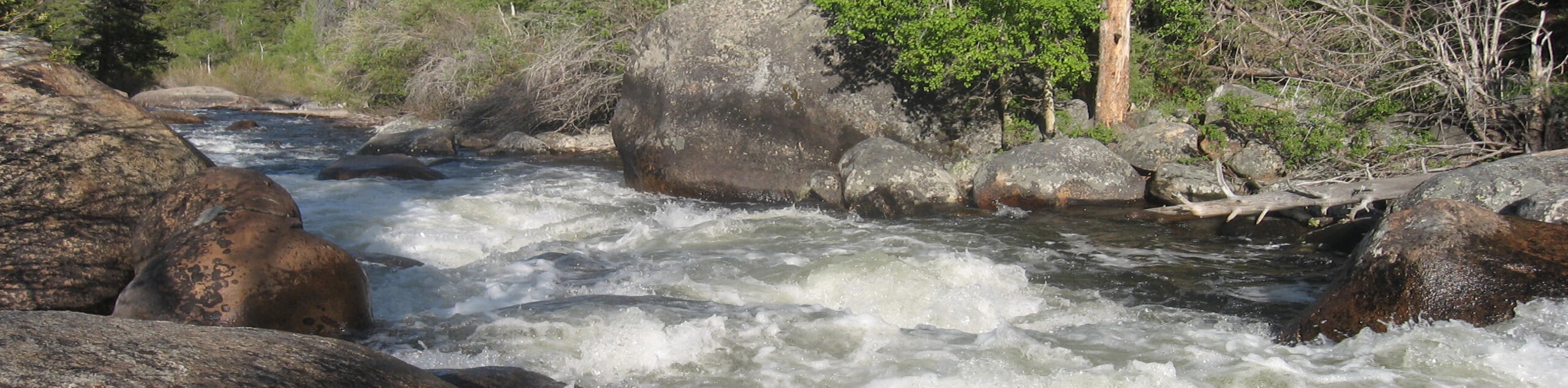
The Popo Agie Indian Trail is a shared route with equestrians and off-roaders. Located in the foothills of the Wind River Range, this route explores the desert-like terrain abundant with sagebrush and juniper while offering wonderful views of the snow-capped crests and flanking green forests.
Getting there
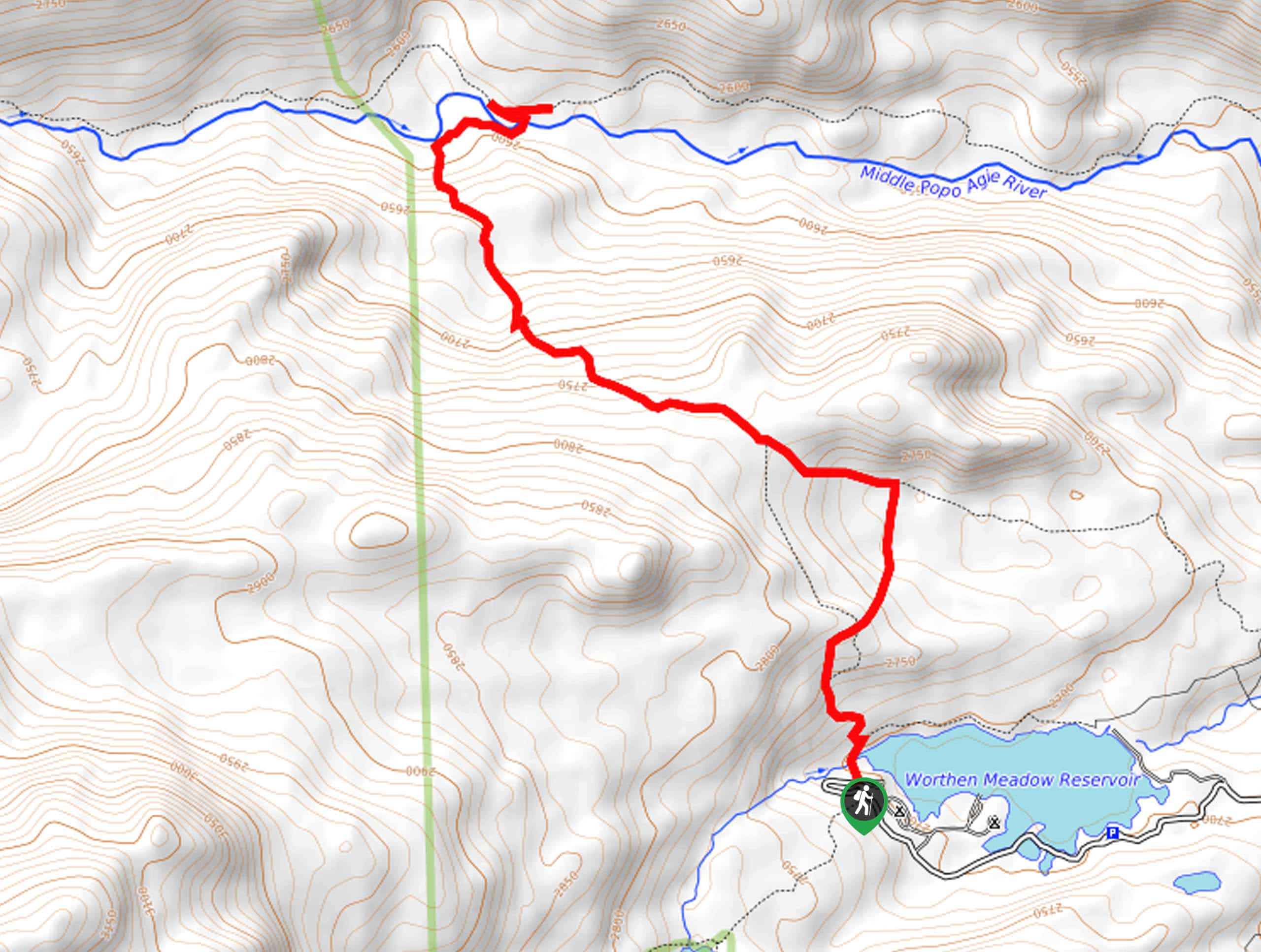
The Popo Agie Indian Trail is accessed via the trailhead off Limestone Mountain Road.

About
| Backcountry Campground | Backcountry Camping |
| When to do | April-October |
| Pets allowed | Yes - On Leash |
| Family friendly | Older Children only |
| Route Signage | Average |
| Crowd Levels | Low |
| Route Type | Out and back |
Popo Agie Indian Trail
Elevation Graph
Weather
Popo Agie Indian Trail Description
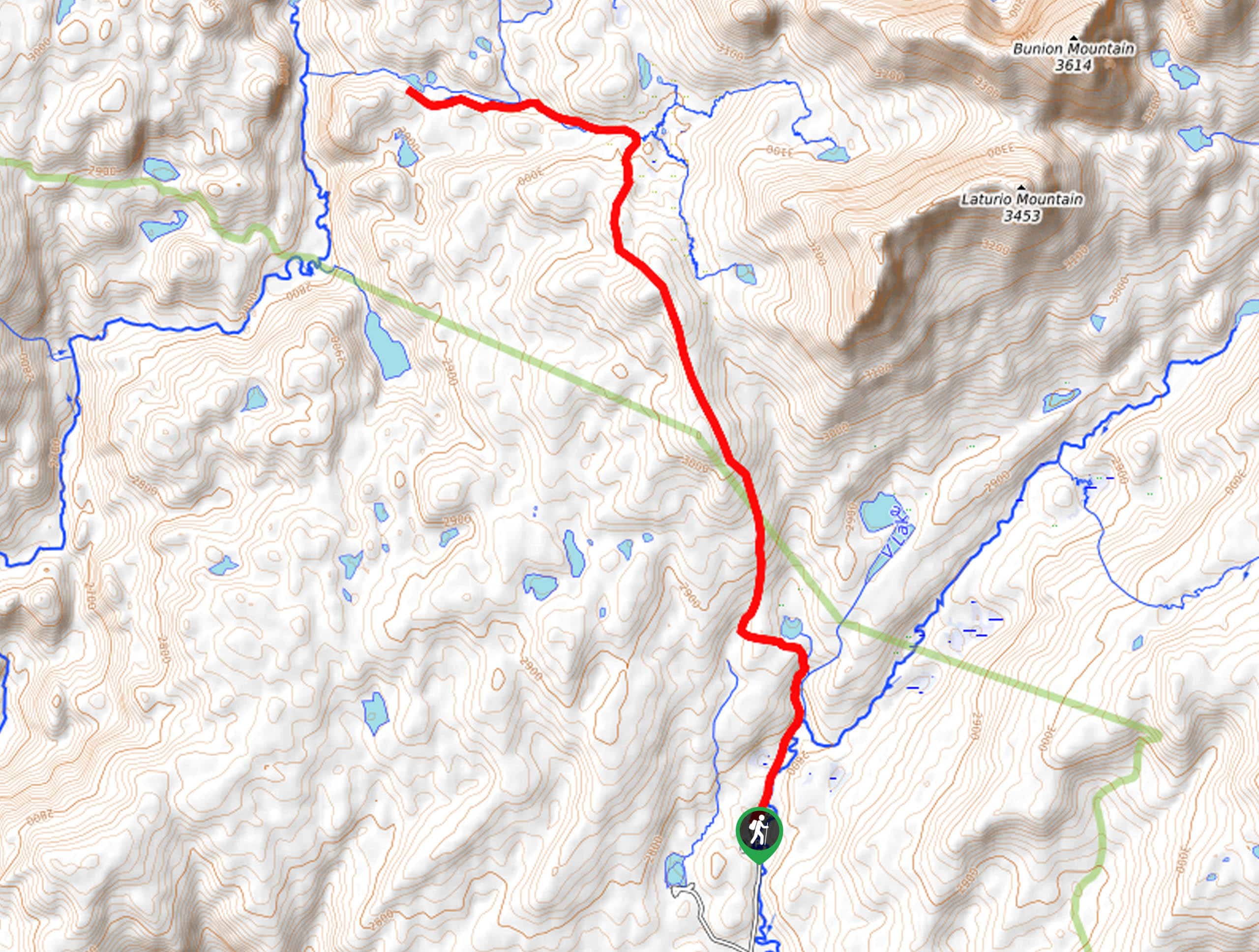
Those seeking isolation from the typical crowds drawn to the Winds are encouraged to venture the Popo Agie Indian Trail. This shared route boasts wonderful views of the range while traveling through a contrasting landscape. While this exposed route offers great views, it warrants extreme conditions, so check the forecast prior to departure and wear SPF to avoid overexposure. Pack plenty of water for you and your pup, and be wary of snakes along the path. While the trail GPS is not necessary, it may be useful to have on hand.
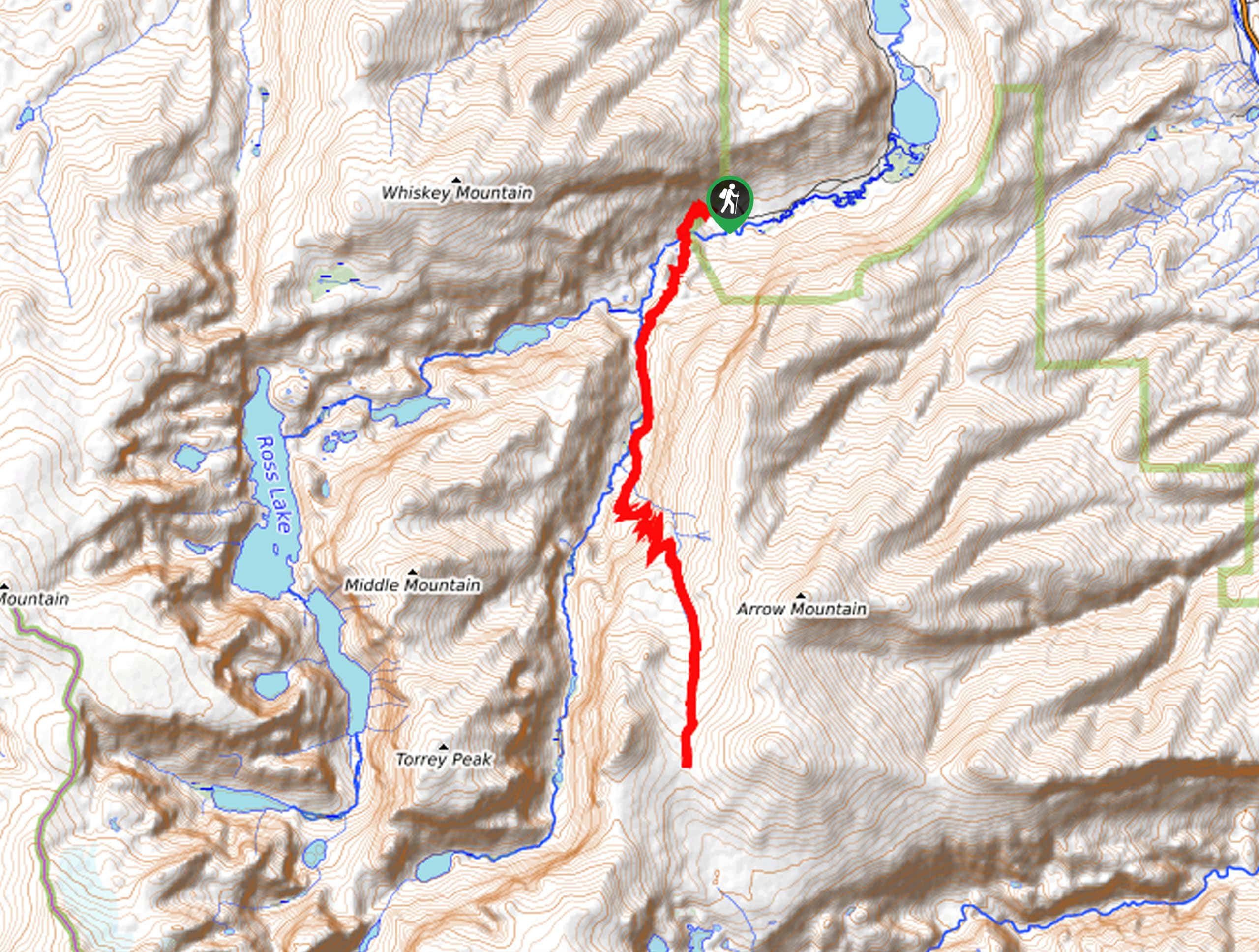
The Popo Agie Indian Hike begins from the Indian Trailhead off the Limestone Mountain Road. Setting out from here, you begin tracking northwest beneath Young Mountain. From the trailhead, the path will gently descend into the Little Popo Agie River Valley before climbing towards Bayer Mountain. Mind your footing on the rocky and uneven terrain, and keep an ear out for horseback riders passing by.
While the trail continues further, we chose to turn around at the saddle behind Beyer Mountain. Take the time here to admire the views of the Wind River Range, then head back to the trailhead.
Similar hikes to the Popo Agie Indian Trail hike
Glacier Trail
The Glacier Trail is a demanding day hike in the Winds that boasts a scenic and secluded experience. Wander through…
Sheep Bridge Trail
The Sheep Bridge Trail checks all the boxes—short, scenic, and secluded. What more could you ask for? Mountain views? It…
Francis Lake Trail
The Francis Lake Trail is a great hike worth the detour into the Winds. While this area is extremely popular,…
Comments