Lower Green River Lakeside Trail
View Photos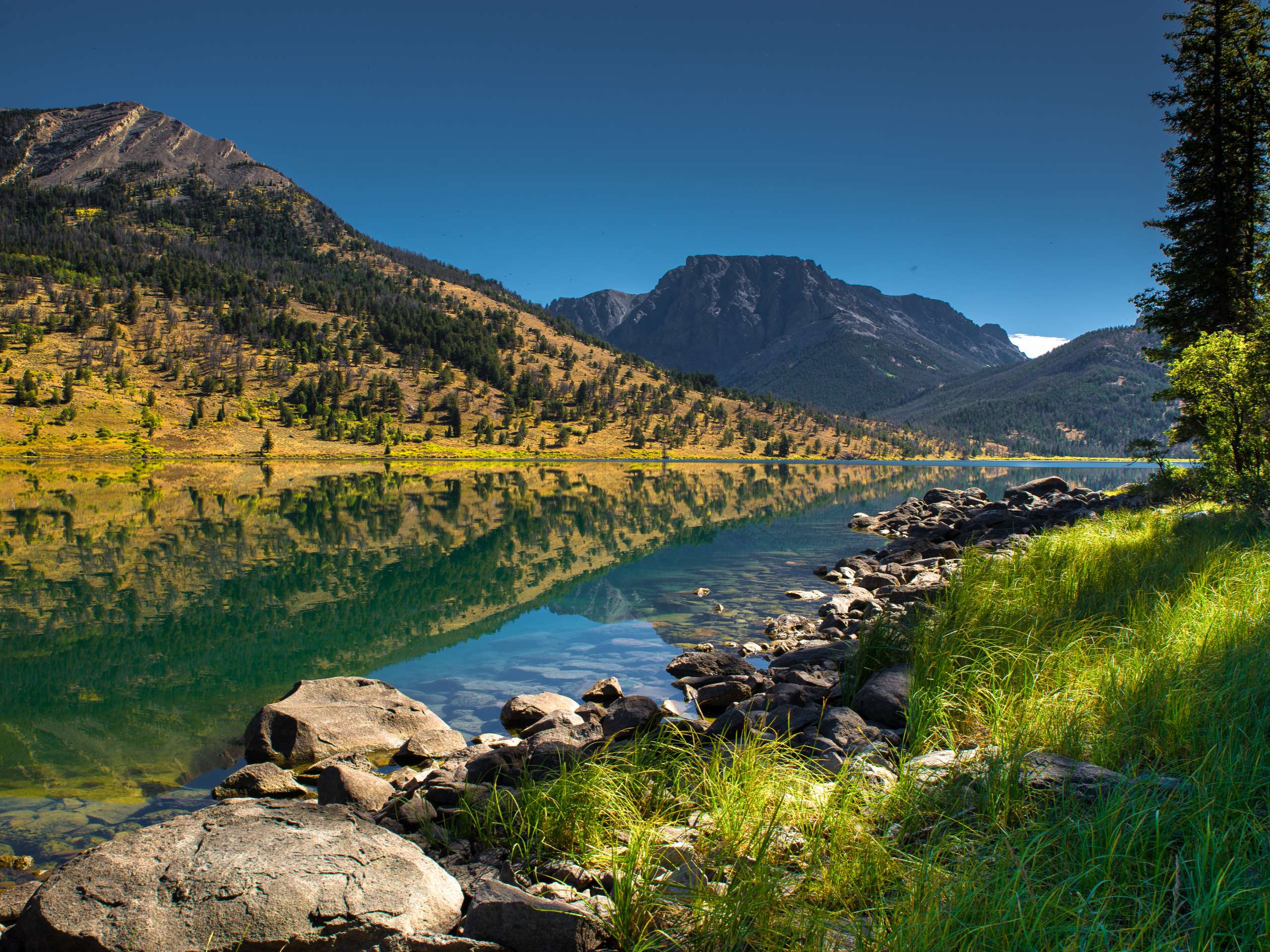
Lower Green River Lakeside Trail
Difficulty Rating:
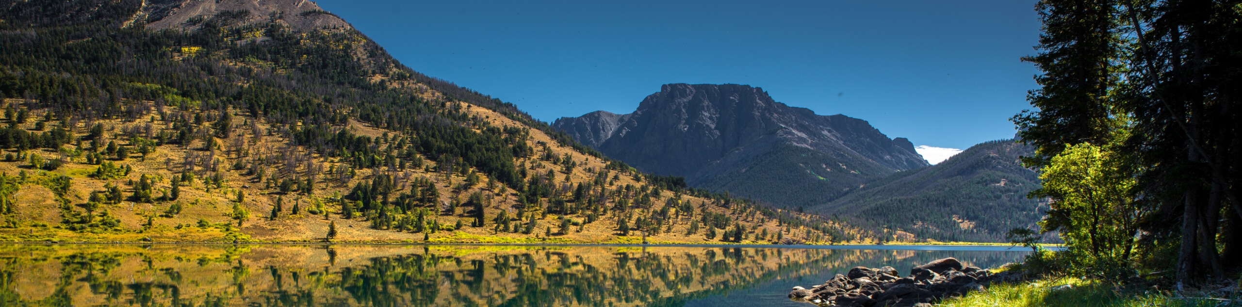
The Lower Green River Lakeside Trail is a staple hike in the Wind River Mountain Range. Rewarding the famous view of Squaretop Mountain rising above the lake, this route is popular amongst photographers—and there is no doubt as to why.
Getting there
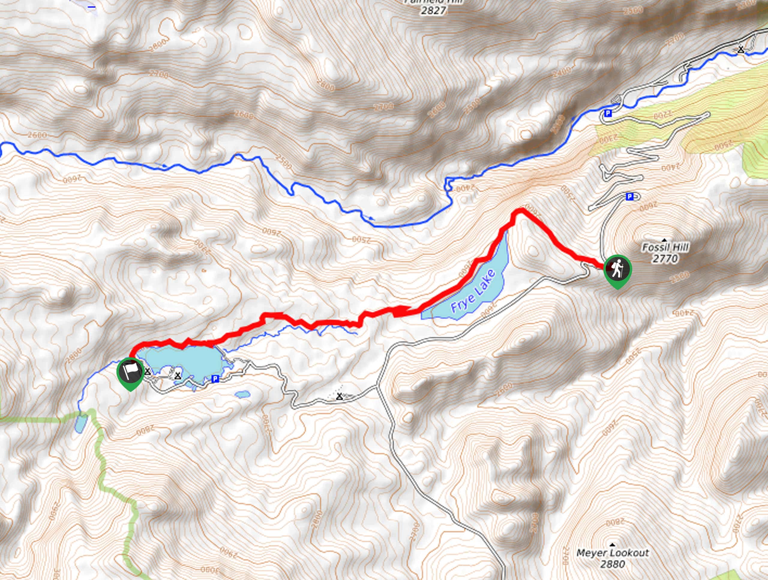
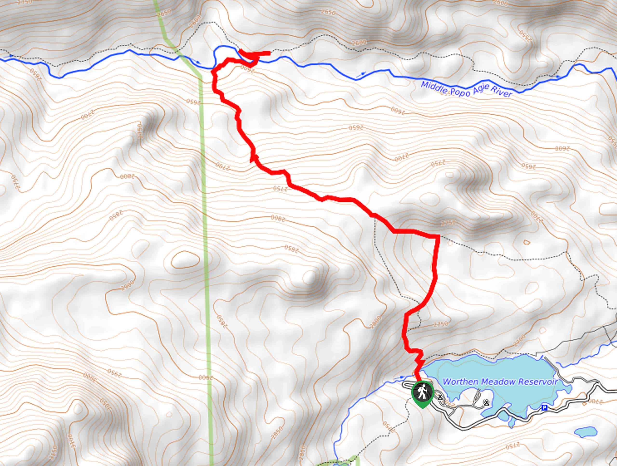
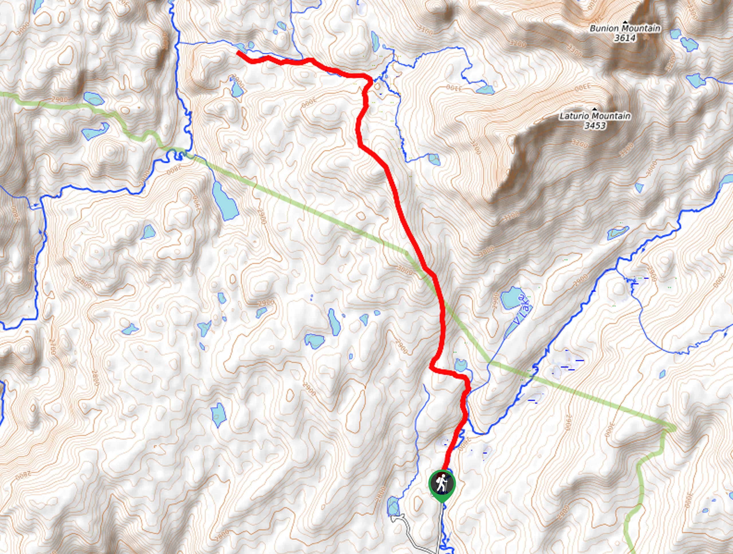
The Lower Green River Lakeside Trail departs from the Lakeside Trailhead off Green River Lakes Road.

About
| Backcountry Campground | |
| When to do | May-October |
| Pets allowed | Yes - On Leash |
| Family friendly | Older Children only |
| Route Signage | Average |
| Crowd Levels | Moderate |
| Route Type | Out and back |
Lower Green River Lakeside Trail
Elevation Graph
Lower Green River Lakeside Trail Description
The Lower Green River Lakeside Trail is a lovely adventure full of wonderment, wildlife, and wonderful views. Treat yourself to the beautiful scenery of the Wind River Mountains, notably the scene of the Squaretop Mountain rising above Green River that is so famously depicted on the state license plate. While this route is not as scenic and exposed as the eastern shoreline route, the tree canopy boasts an enchanting ambiance and retreat from the sun. While a bear encounter is unlikely, there is a possibility—so make sure at least one person in your party carries a can of bear spray.
Embark on your adventure from the Lakeside Trailhead off the Green River Lakes Road. Heading south, the path will progress through the campground and into the mixed pine woodlands. Enjoy the shade of the lush evergreens and the sights of the seasonal wildflowers that carpet the forest floor. As you wander, the path will be near the shoreline, offering views of the glittering lake and encompassing bluffs. After some hiking, the undulating route will eventually reach the southern shoreline.
Now progressing through the wetlands, you will be granted more impressive views of the Winds, including Squaretop Mountain. Enjoy the view of the Upper Green River Lake on one side and Lower Green River Lake on the other, then turn around and head back the way you came, all the way to the trailhead.
Similar hikes to the Lower Green River Lakeside Trail hike
Upper Brewers Trail
The charm of a one-way trek is unrivaled. Enjoy new scenery every step of the way as you hike the…
Sheep Bridge Trail
The Sheep Bridge Trail checks all the boxes—short, scenic, and secluded. What more could you ask for? Mountain views? It…
Francis Lake Trail
The Francis Lake Trail is a great hike worth the detour into the Winds. While this area is extremely popular,…
Comments