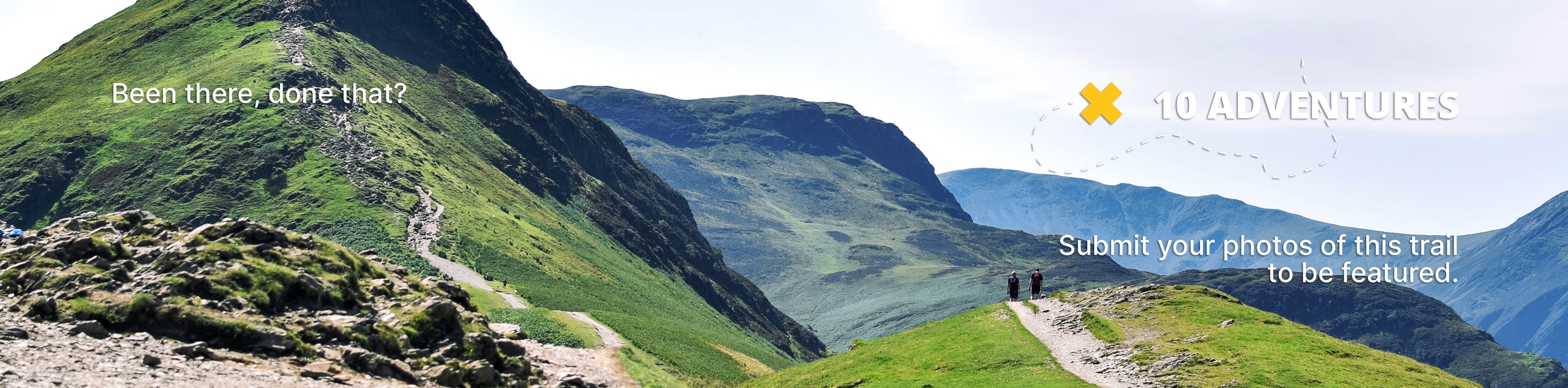
Dubois Badlands Trail
View Photos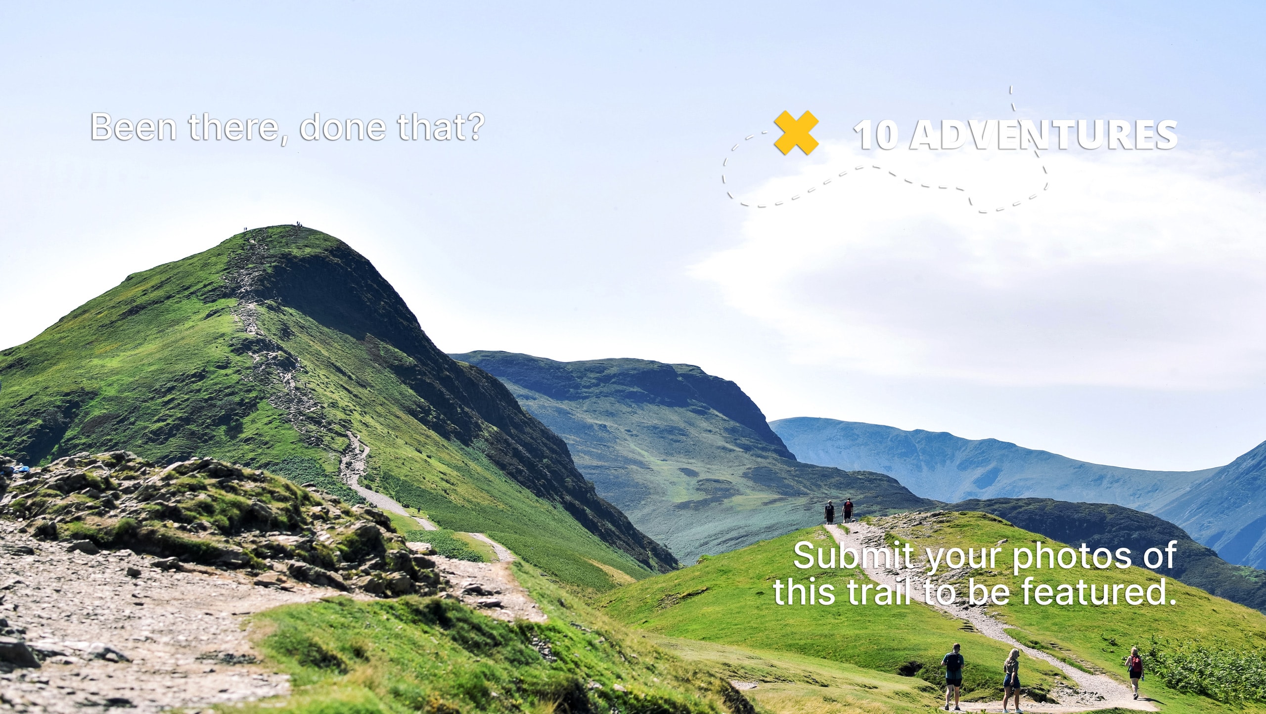
Dubois Badlands Trail
Difficulty Rating:
Compared to hikes in the nearby Wind River Range, the Dubois Badlands Trail explores the desert-like terrain adorned with impressive badlands and mesas. Exhibiting a diversity of flora and fauna, this route boasts stimulating scenery every step of the way.
Getting there
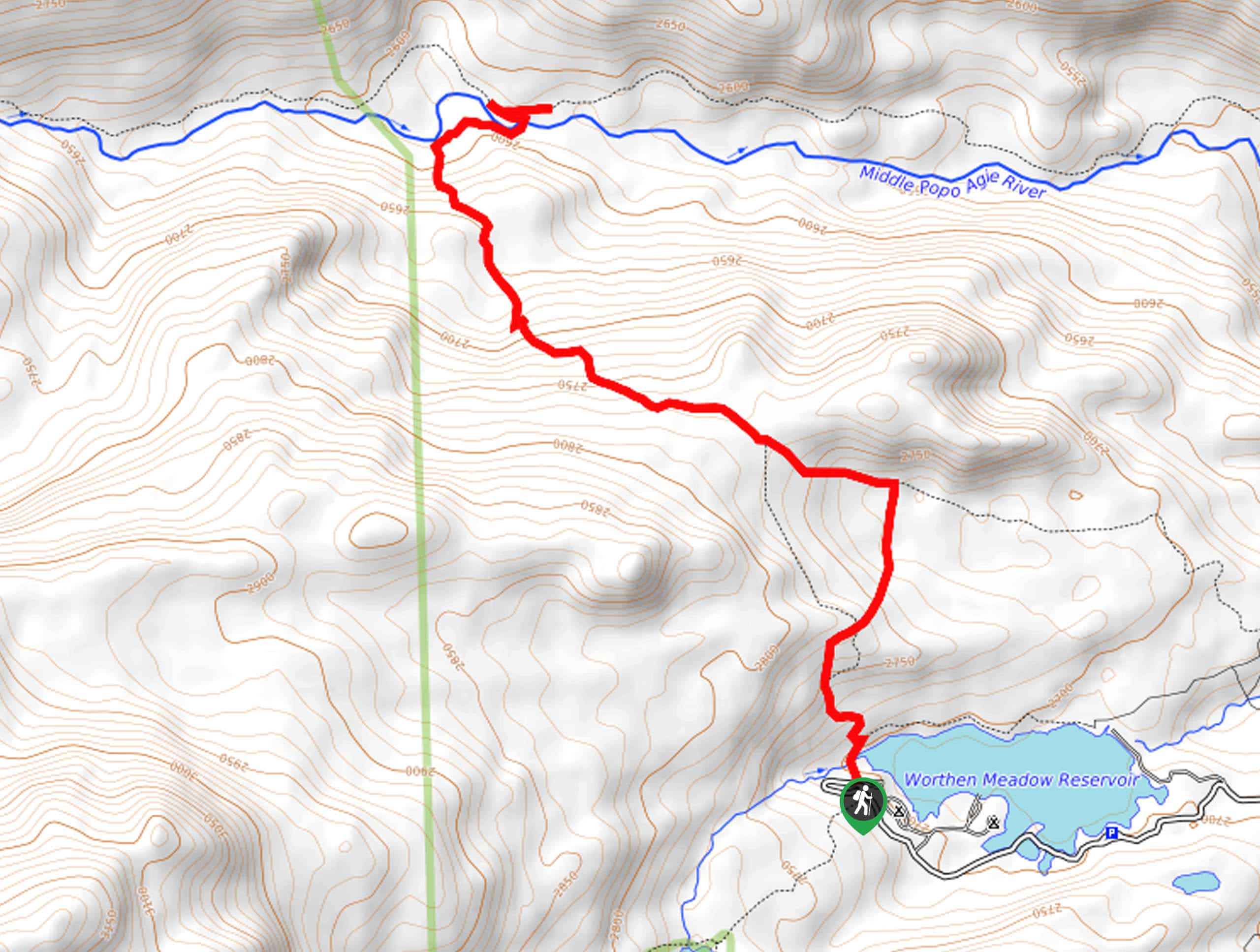
Access this hike from the trailhead off Kingfisher Road.

About
| Backcountry Campground | No |
| When to do | Year-round |
| Pets allowed | Yes - On Leash |
| Family friendly | Yes |
| Route Signage | Poor |
| Crowd Levels | Moderate |
| Route Type | Circuit |
Dubois Badlands Trail
Elevation Graph
Weather
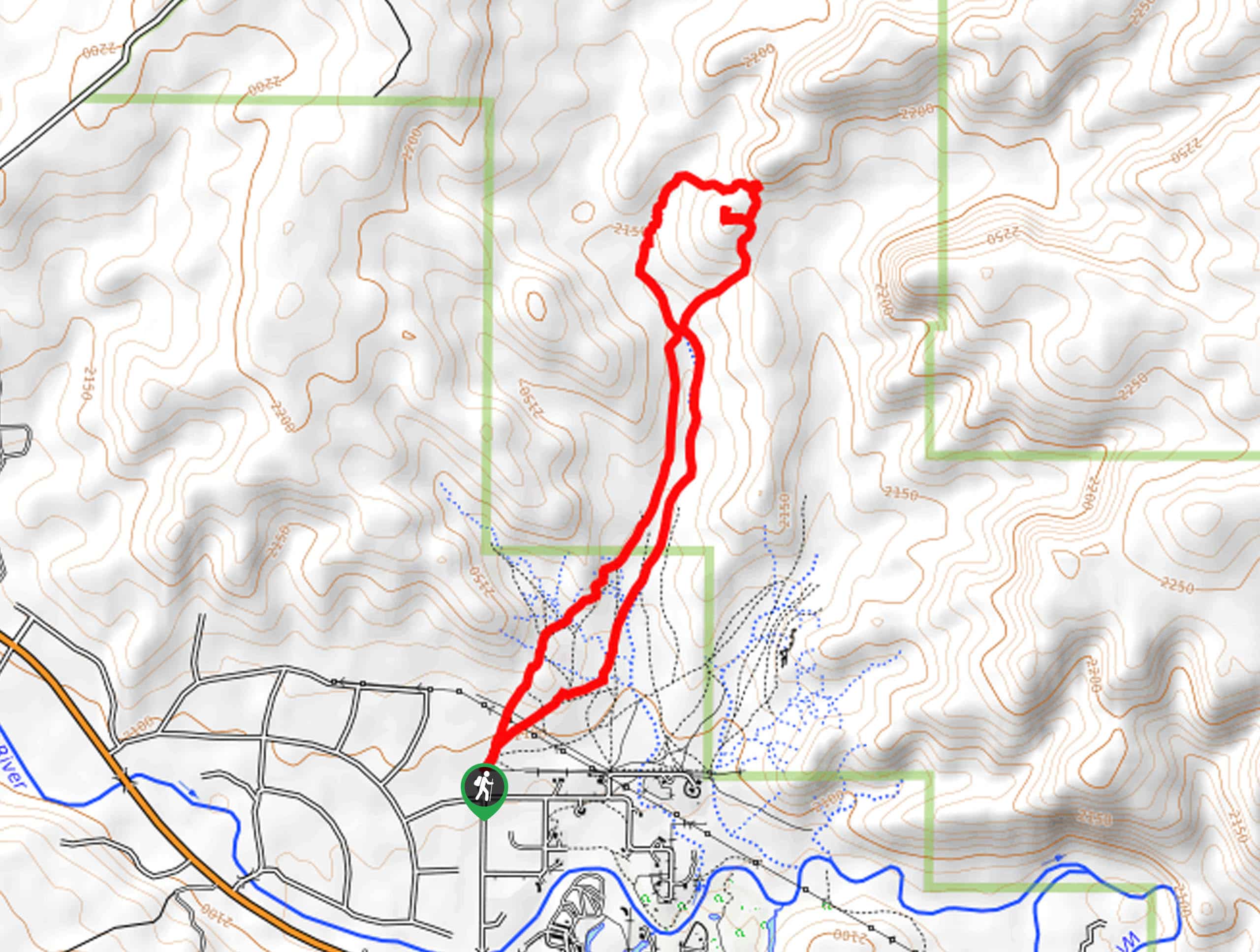
Dubois Badlands Trail Description
Hiking the Dubois Badlands Trail makes for a memorable experience. Explore the arid terrain adorned with sagebrush and unique geological features set against the backdrop of the Wind River Mountains. As much of this path is exposed, be sure to layer on the SPF and wear sun protection! Additionally, wildlife is abundant in this area, so bring a can of bear spray and be mindful of snakes. Note this route travels off-trail, so make sure to use the trail GPS to easily navigate the route!
Embark on your adventure along the Dubois Badlands Hike from the trailhead off Kingfisher Road. Setting out from here, you will be guided northeastward, crossing over several seasonal streams. Mind your footing on the rocky terrain as you marvel at the intriguing badlands that rise from the landscape. Wandering through the sagebrush-laden canyon, the trail GPS will guide you up a section of steep terrain to an epic overlook of the badlands.
Revel in the intriguing landscape, then loop around the mesa and back down to the more level terrain. Following the trail GPS, you will be led south through the grasslands and brush back to the trailhead, marking the end of your adventure.
Similar hikes to the Dubois Badlands Trail hike
Upper Brewers Trail
The charm of a one-way trek is unrivaled. Enjoy new scenery every step of the way as you hike the…
Sheep Bridge Trail
The Sheep Bridge Trail checks all the boxes—short, scenic, and secluded. What more could you ask for? Mountain views? It…
Francis Lake Trail
The Francis Lake Trail is a great hike worth the detour into the Winds. While this area is extremely popular,…
Comments