Joffre Lakes Hike
View Photos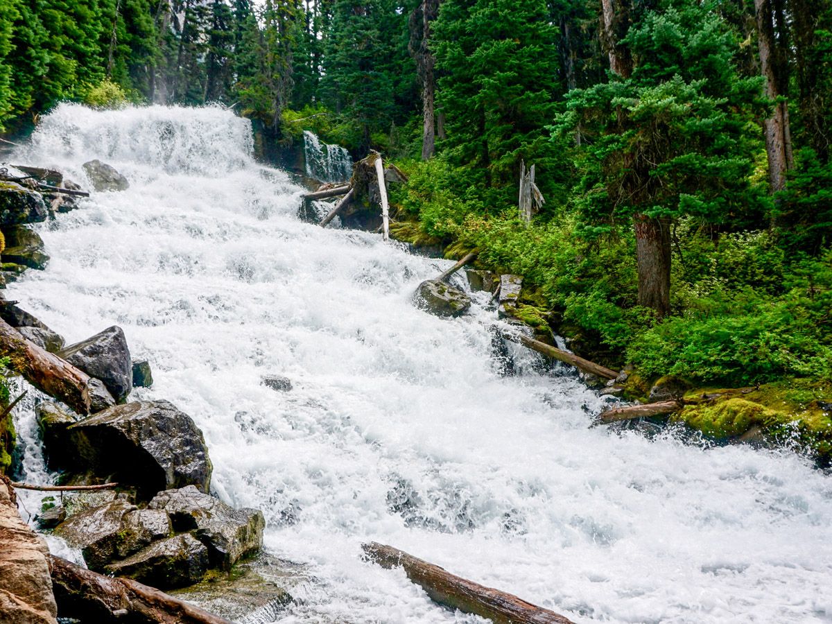
Joffre Lakes Hike
Difficulty Rating:
The stunning hike up to Joffre Lakes is worth the drive past Pemberton to reach the trailhead. Continuing the walk all the way to the third lake gives stunning views of the magnificent Matier Glacier in Whistler.
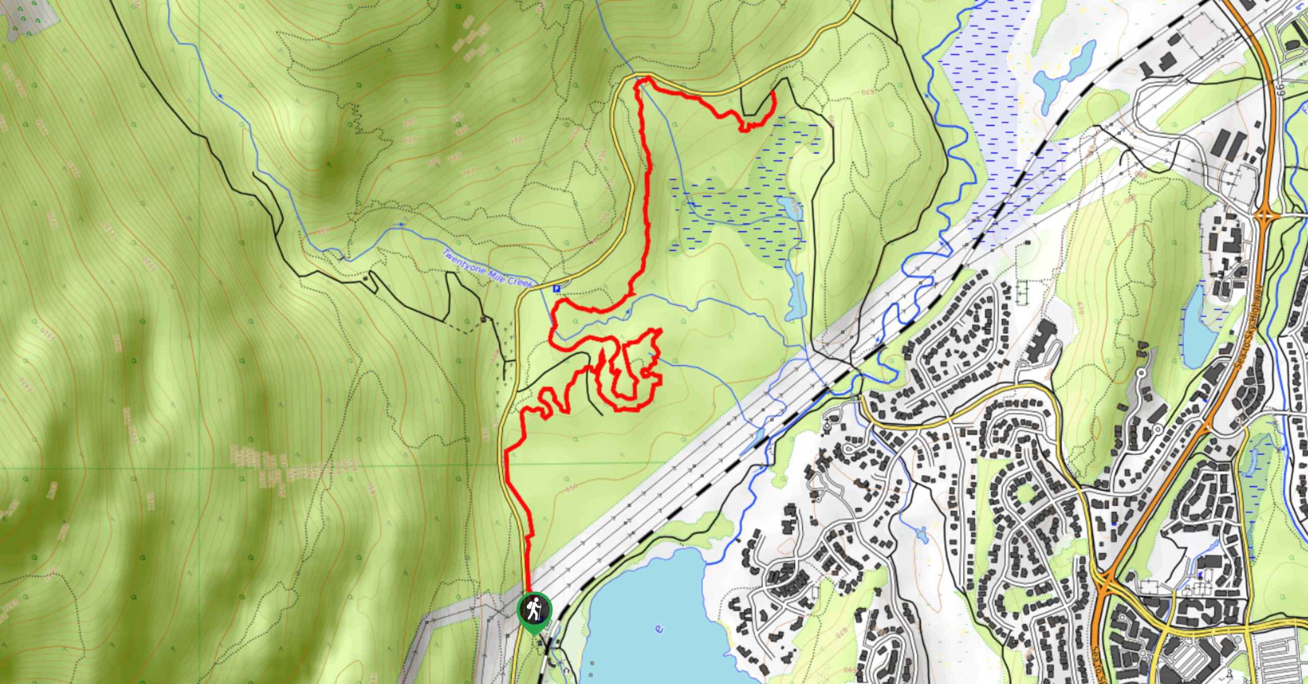
Getting there
Drive north from Whistler along Highway 99 for 38.5mi. You will pass the town of Pemberton and other small villages. Continuing on the highway around Lillooet Lake, it will soon become more narrow and twisty. You will see signs for Joffre Lakes Provincial Park from the Highway. Take the turn on your right-hand side and try to find a parking spot, they fill up early.

About
| When to do | June through September |
| Backcountry Campsites | Upper Joffre Lake |
| Toilets | Trailhead & Backcountry Campground |
| Family friendly | No |
| Route Signage | Average |
| Crowd Levels | High |
| Route Type | Out and back |
Joffre Lakes Hike
Elevation Graph
Weather
Route Description for Joffre Lakes Hike
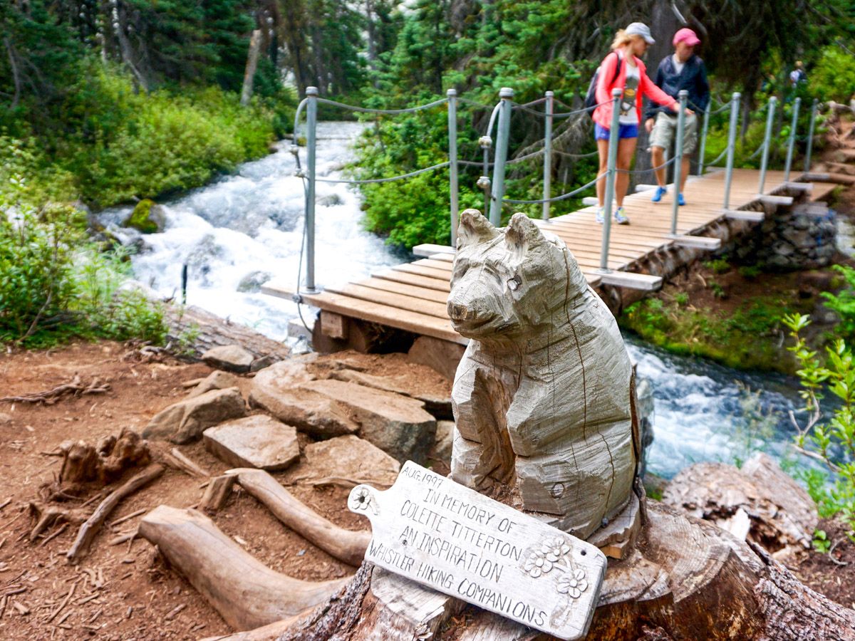
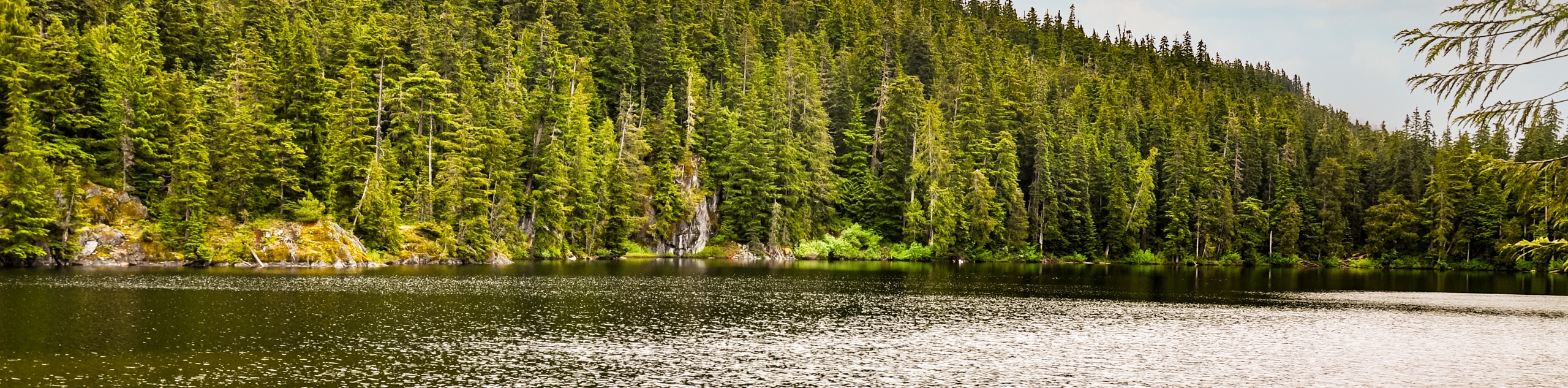
Start from the trailhead start along the only path there is. Within minutes you will find yourself at Lower Joffre Lake. This small lake is only a taste of what you will find at the top. The trail remains fairly wide and is extremely well maintained.
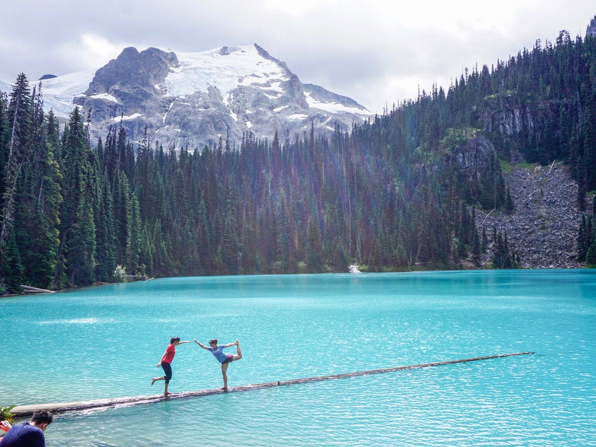
Continue along the path and start the climb. The rest of the trail is a climb up to the other two lakes. After gaining most of the elevation, you will come upon Middle Joffre Lake. From here you can start to see bits and pieces of your final objective – the Matier Glacier sitting above Joffre Lake.
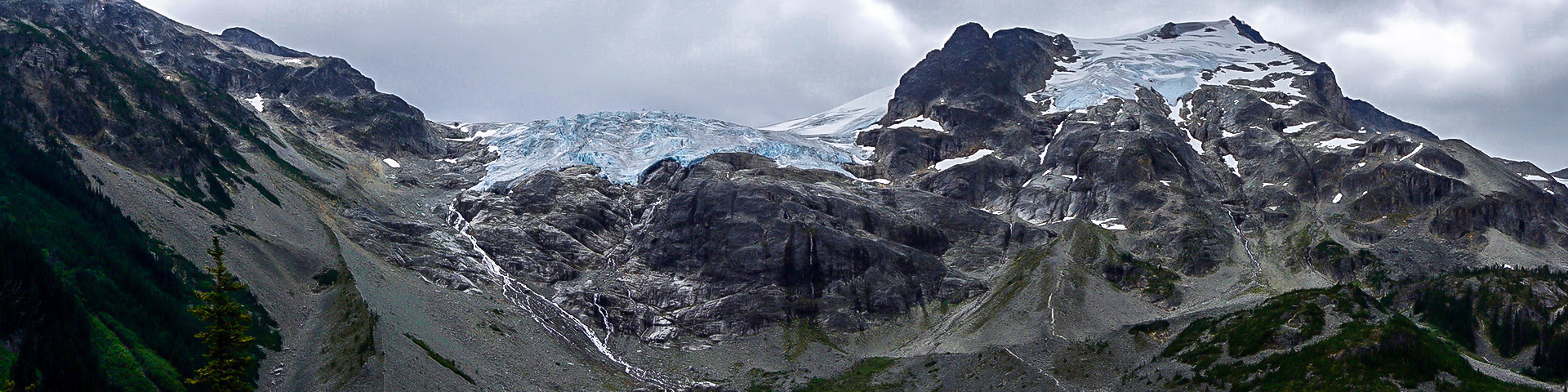
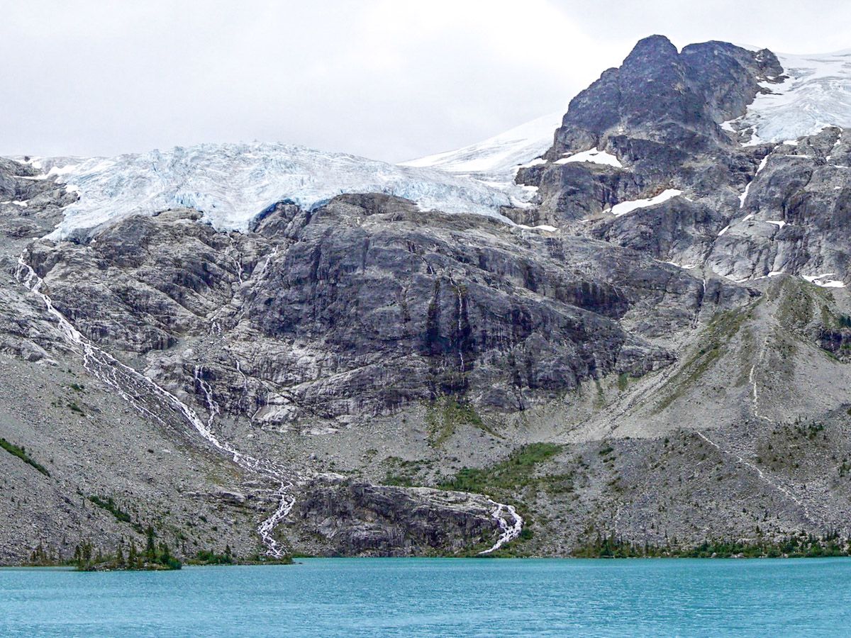
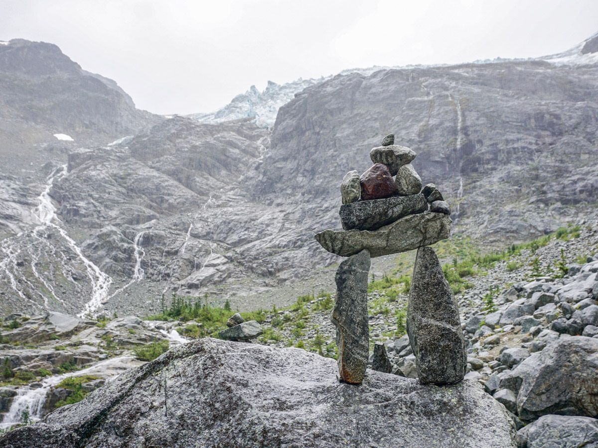
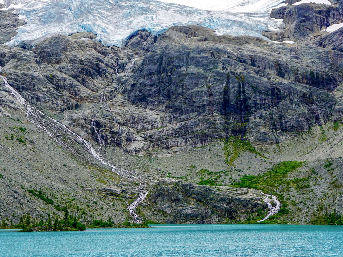
Beyond Middle Joffre Lake the trail deteriorates in quality, with big rocks and roots becoming normal. After a little bit more climbing, during which you will pass a small waterfall, you’ll finally arrive at upper Joffre Lake – the finest of them all! From the north shore – the side in which you’ve arrived – there are stunning view of the Matier Glacier, it’s gorgeous teal color and the massive crevasse which permeates its face.
You will also be able to see Joffre Peak to the left of the Glacier and Slalok Mountain to the right. Mount Taylor will be even further right. All these peaks are totally alpine, rocky, and gorgeous. We advise hiking around the west side of the lake to reach the campground on the southern shore. Here you can get a better look at the glacier, and a look back across the lake.
Want to find more amazing hikes around Whistler? Check out the Garibaldi Lake hike, Panorama Ridge hike or the Black Tusk hike.
Insider Hints
Parking spots are limited and fill up fast, especially on weekends, when back-ups can be big enough to make news in Vancouver.
The climb is steep at times, so pace yourself and take care going down.
We saw several people venturing up to the lake with towels and swimwear. This lake is directly fed by a glacier, and will subsequently be filled with water that was just recently snow and ice. If you choose to go for a swim bring plenty of warm clothes for after!
Parking on the Highway 99 shoulder to access Joffre Lakes Park is prohibited. There is an additional parking lot across the highway from the trailhead, but parking is limited. Arrive early to increase your chances of securing a parking spot. Check out this page for more information regarding the safety measures in place.

Similar hikes to the Joffre Lakes Hike hike
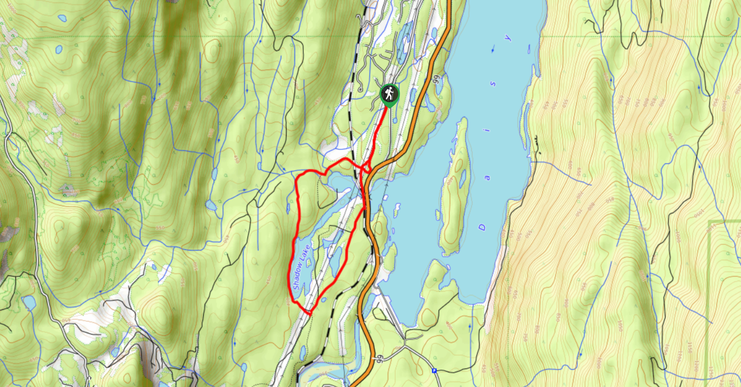
Shadow Lake Loop
Travel along the Shadow Lake Loop for a quick and easy hiking route just off the Sea to Sky Highway,…
Jane Lakes Trail
The Jane Lakes Trail is a lightly trafficked 6.2mi out-and-back hiking route through the Whistler Interpretive forest that…
A River Runs Through It Trail
The A River Runs Through It Trail is a 5.6mi out-and-back hiking route in Whistler that features scenic…
ottobismark 4 years ago
beautiful spot. the top lake feels like heaven. took us about 4 hours at a quick pace.
Meighan 4 years ago
Stunning views especially at the third lake. Great trail.
HIllaryPNW 4 years ago
One of the best places that I visited in BC. It was nice and quiet.
Tara Green 4 years ago
We were there in the last summer and Joffre lakes are one of the best places that we visited
matsuomako 4 years ago
Impressive natural wonder! I would love to visit again!
iloveflowerz 5 years ago
The Matier Glacier was quite impressive.
LEila 5 years ago
Joffre lakes hike was good but I preferred the Cheakamus lake to this one. Loved the Matier Glacier, though. an amazing sight.
Sally Worchuck 5 years ago
Loved the Joffre Lakes trail. Beautiful surroundings met some nice people.
vicious5 5 years ago
The hike to Joffre Lakes was great. Not easy, but offered some spectacular views to see along the way.
attikashalom 5 years ago
Worthwhile trip to see the lakes. They look magnificent in person. Spent solid 5 hours doing the hike.