Alta Lake Hiking Loop
View Photos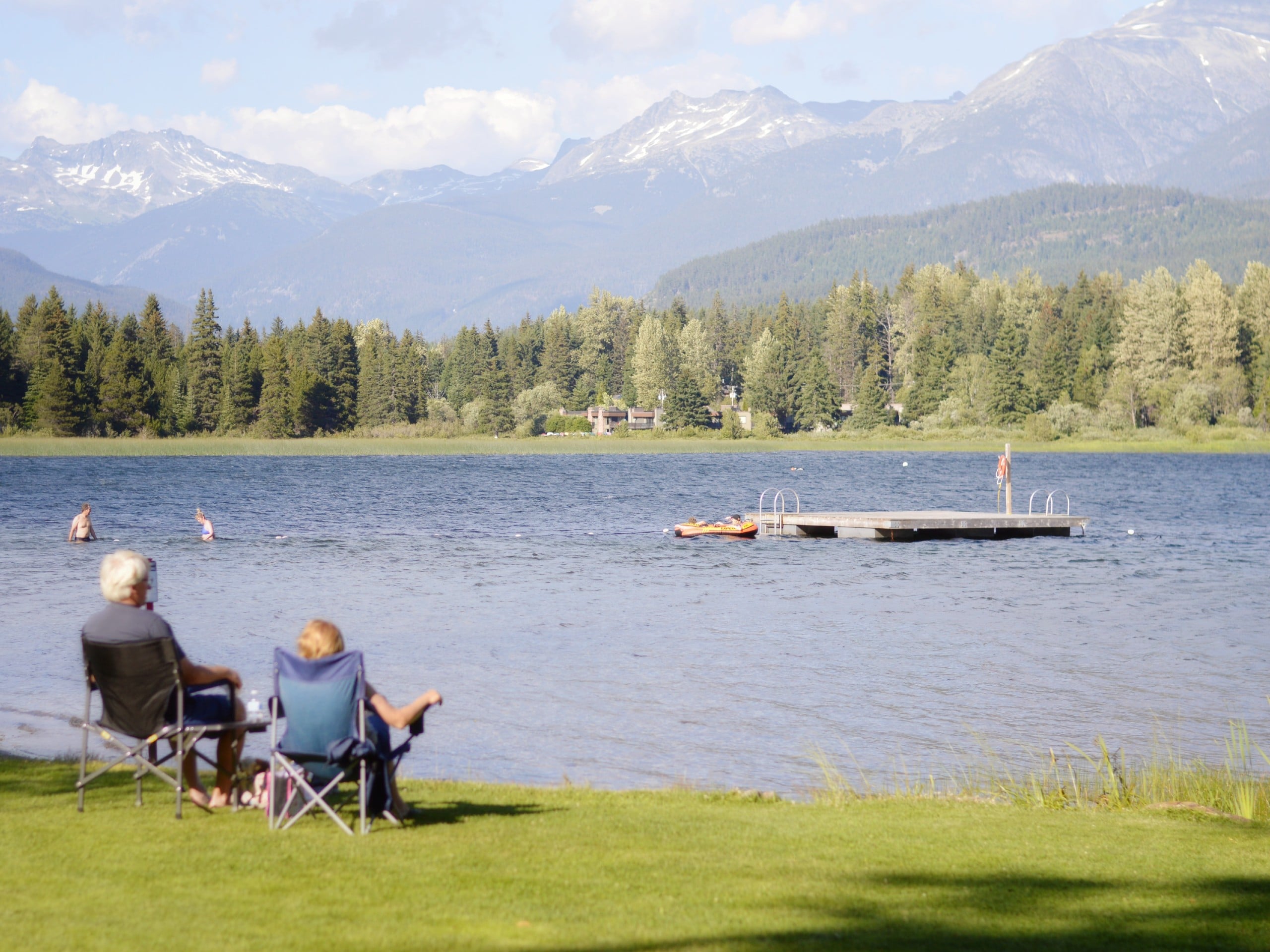
Alta Lake Hiking Loop
Difficulty Rating:
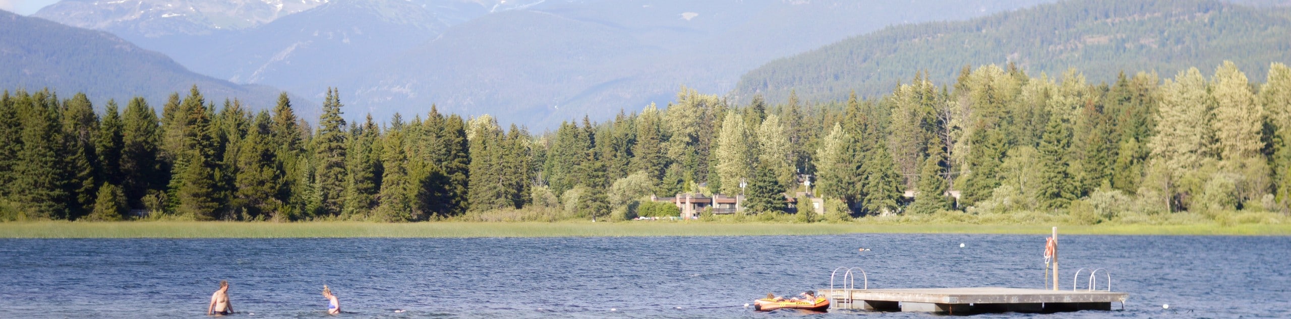
Tracing along the edges of Whistler’s largest lake, the Alta Lake Hiking Loop is a 4.5mi trail that passes through a residential area of beautifully constructed homes before working around the lake to provide stunning views of the surrounding area. Make your way around the pristine waters of the lake and take in the scenic mountainous backdrop from one of the many docks located along its shores or rent a boat to get out and enjoy the water. This trail is only a short distance from Whistler Village and offers access to a number of fun outdoor activities.
Getting there
To get to the Alta Lake Hiking Loop trailhead from Whistler, make your way north on BC-99 N and turn left onto Alpine Way. Turn left onto Rainbow Drive and follow it for 0.7mi, where it will become Alta Lake Road. Continue on Alta Lake Road for 1.9mi and turn left to reach the parking area at Rainbow Park.

About
| When to do | April-October |
| Backcountry Campsites | No |
| Pets allowed | Yes - On Leash |
| Family friendly | Older Children only |
| Route Signage | Average |
| Crowd Levels | Moderate |
| Route Type | Circuit |
Alta Lake Hiking Loop
Elevation Graph
Weather
Alta Lake Hiking Loop Trail Description
The Alta Lake Hiking Loop travels around the shores of this scenic lake and makes its way through the adjacent neighbourhoods that can be found along its eastern edge. Because of this, there are several stretches of the trail that make their way through a residential setting; however, these parts of the trail are short-lived, and hikers will be able to resume their walk around the lake after a short distance. Additionally, hikers should keep an eye out for bears, as they are known to frequent the area around the lake. As with most BC hiking trails, it is good practice to bring bear spray to avoid any potentially dangerous encounters.
This trail is a great half-day hike that is close to Whistler Village, allowing it to be completed at almost any point of the day with relative ease. While some people might not enjoy having to hike through residential areas, the houses along this stretch are beautifully constructed and offer a bit of contrast to the natural beauty of the lake. Along the trail itself there are several opportunities for wildlife viewing, as well as docks that stretch out onto the lake and provide scenic views of the lake and surrounding mountains. If you find yourself in Whistler with a few hours of free time on your hands, then the Alta Lake Hiking Loop is a great option to get out and enjoy the outdoors.
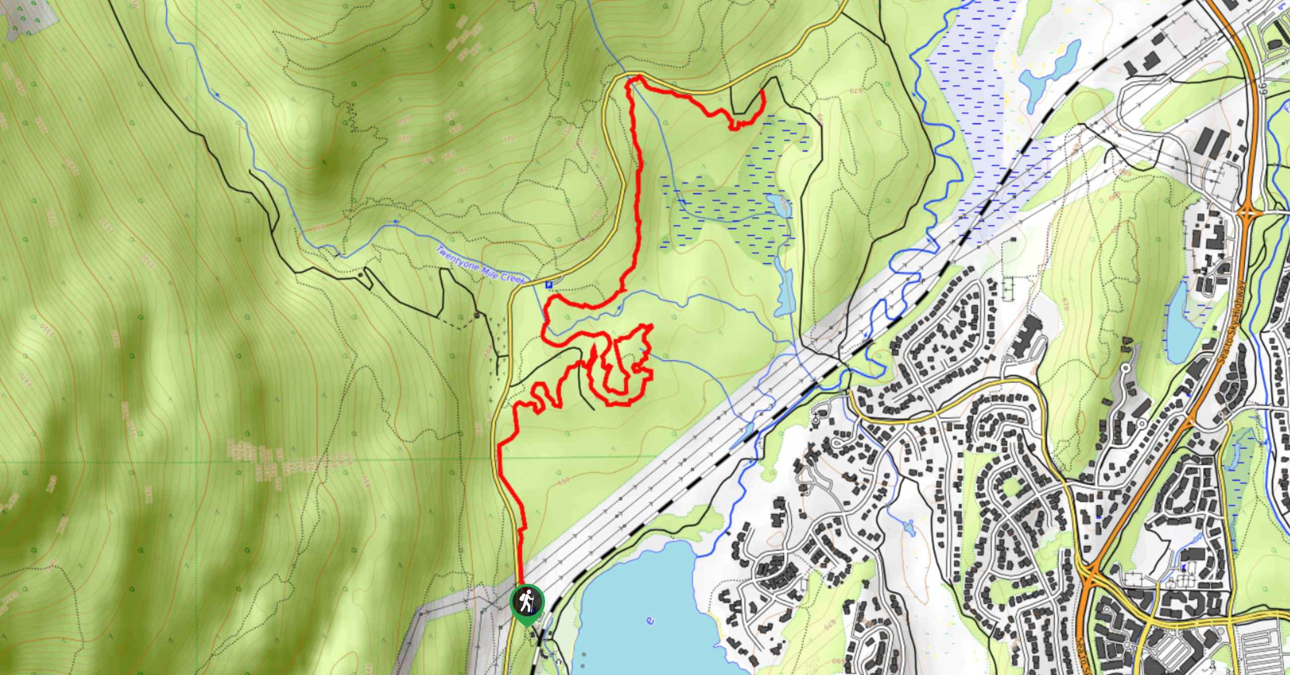
Setting out on the trail from the parking area in Rainbow Park, make your way across the creek towards the water, following the trail to the left to navigate around the lake in a clockwise direction. After 1804ft, there will be a vantage point on your right where you can look out over the lake and try to spot some wildlife along its marshy northern edge.
Continuing along the trail for 1312ft, you will come upon a small bridge spanning the River of Golden Dreams. Make your way over the bridge and keep on the trail for another 1312ft, passing by the church to get to a trail junction branching off to the right. Follow this trail as it heads south, cutting through the residential neighbourhood on its way back to the shores of Alta Lake. At this point of the hike, you will have some up-close views of the craftsmanship that went into this area’s beautiful homes.
When you reach the point where the trail crosses over Crabapple Drive, leave the trail and follow the road to the right. Continuing on the trail will take you off in a different direction and onto the Whistler Golf Club course. Follow along Crabapple Drive for 1312ft and turn left onto Barnfield Place, making your way to the end of the cul-de-sac to pick the trail back up.
Here, hikers will enter into the forest and turn left at the junction to cut through Blueberry Beach Park. Make your way through the forest cover for 0.6mi as you skirt around Blueberry Hill and come out onto St. Anton Way. This is the second residential portion of the hike and only continues for a short stretch. Walk along St. Anton Way for 492ft and turn left onto Archibald Way, following it south. When you reach Carleton Way, turn right and follow it towards the waterfront before turning left onto Lakeside Road. After 656ft on Lakeside Road, you will enter Lakeside Park, where you will be able to pick up the trail to the right and follow it along the edge of the lake.
Continue along the trail as it heads toward the southwest corner of Alta Lake near Wayside Park. The park has several docks that jut out onto the lake and will give you a great view out over the water to the north. Make your way along the path that cuts through the marshy area west of the park and go right at the junction to keep on the trail as it skirts alongside the rail tracks.
This last stretch of the trail along the western edge of the lake will follow alongside the rail tracks for its entirety as you make your way back to Rainbow Park along the water’s edge. Take in the lakeside views as you pass by the private docks before arriving back where you started your hike. From here, take some time to enjoy the sun on one of Alta Lake’s beaches or rent a boat to get out for some fun on the water before heading back to your car, having completed the Alta Lake Hiking Loop.
Hiking Route Highlights
Alta Lake
Originally named Summit Lake, Alta Lake is the largest in the Whistler area and offers beautiful views of the wooded landscape and surrounding mountains. There are several parks located along the shores of the lake, including Rainbow, Blueberry Beach, Lakeside and wayside, each offering various recreational amenities. Visitors to Whistler can make their way to the lake by means of a short walk or bike ride from the village.
Frequently Asked Questions
Can you swim in Alta Lake?
Yes. Visitors to the lake can swim in the water, as well as rent canoes, kayaks, paddle boards, and pedal boats.
Insider Hints
As with most BC trails, make sure to bring bear spray.
Arrive early to ensure that you get a parking space.
Alternatively, park at a different location around the lake.
Take advantage of the various docks that jut out onto the lake to get the most scenic views.
Similar hikes to the Alta Lake Hiking Loop hike
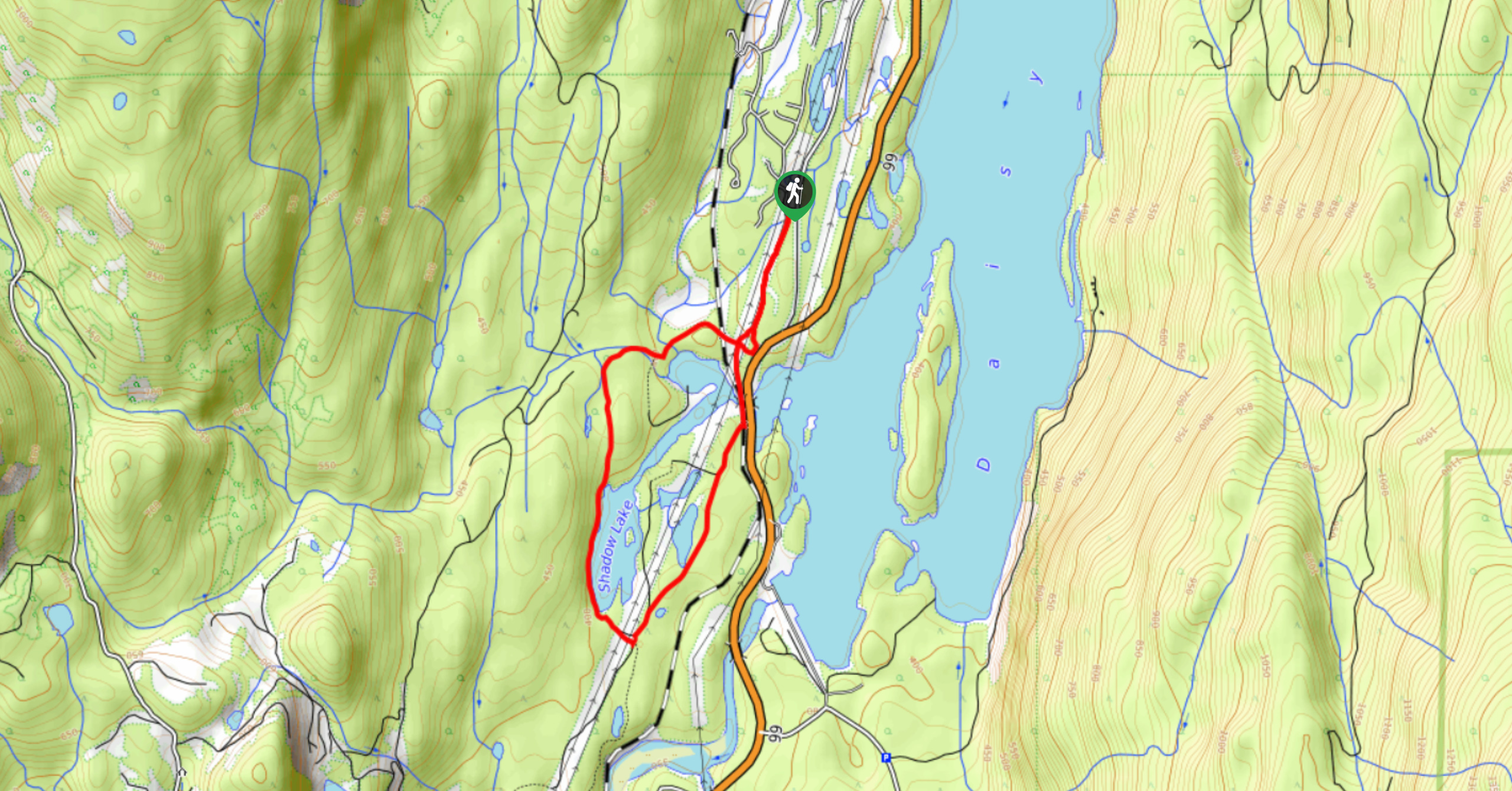
Shadow Lake Loop
Travel along the Shadow Lake Loop for a quick and easy hiking route just off the Sea to Sky Highway,…
Jane Lakes Trail
The Jane Lakes Trail is a lightly trafficked 6.2mi out-and-back hiking route through the Whistler Interpretive forest that…
A River Runs Through It Trail
The A River Runs Through It Trail is a 5.6mi out-and-back hiking route in Whistler that features scenic…
Comments