Mount Finlayson hike
View Photos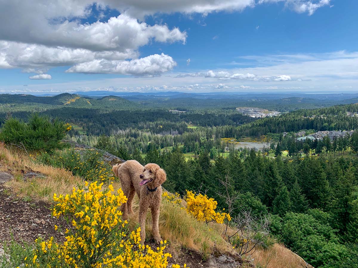
Mount Finlayson hike
Difficulty Rating:
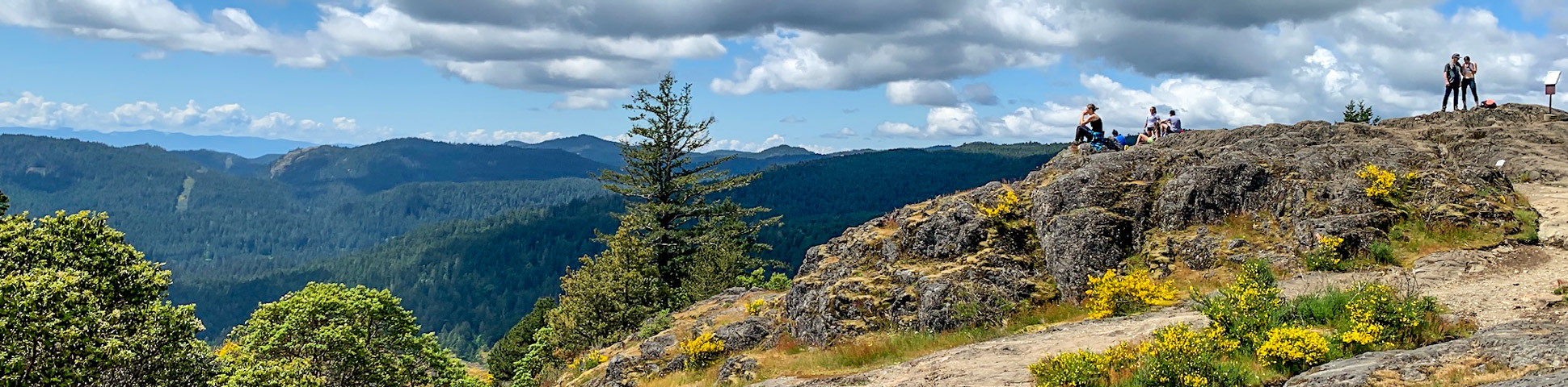
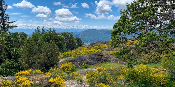
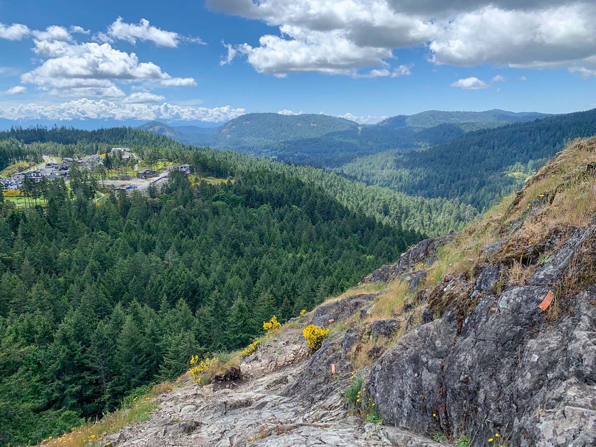
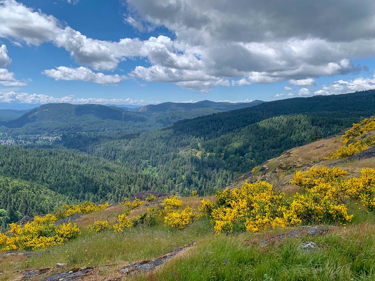
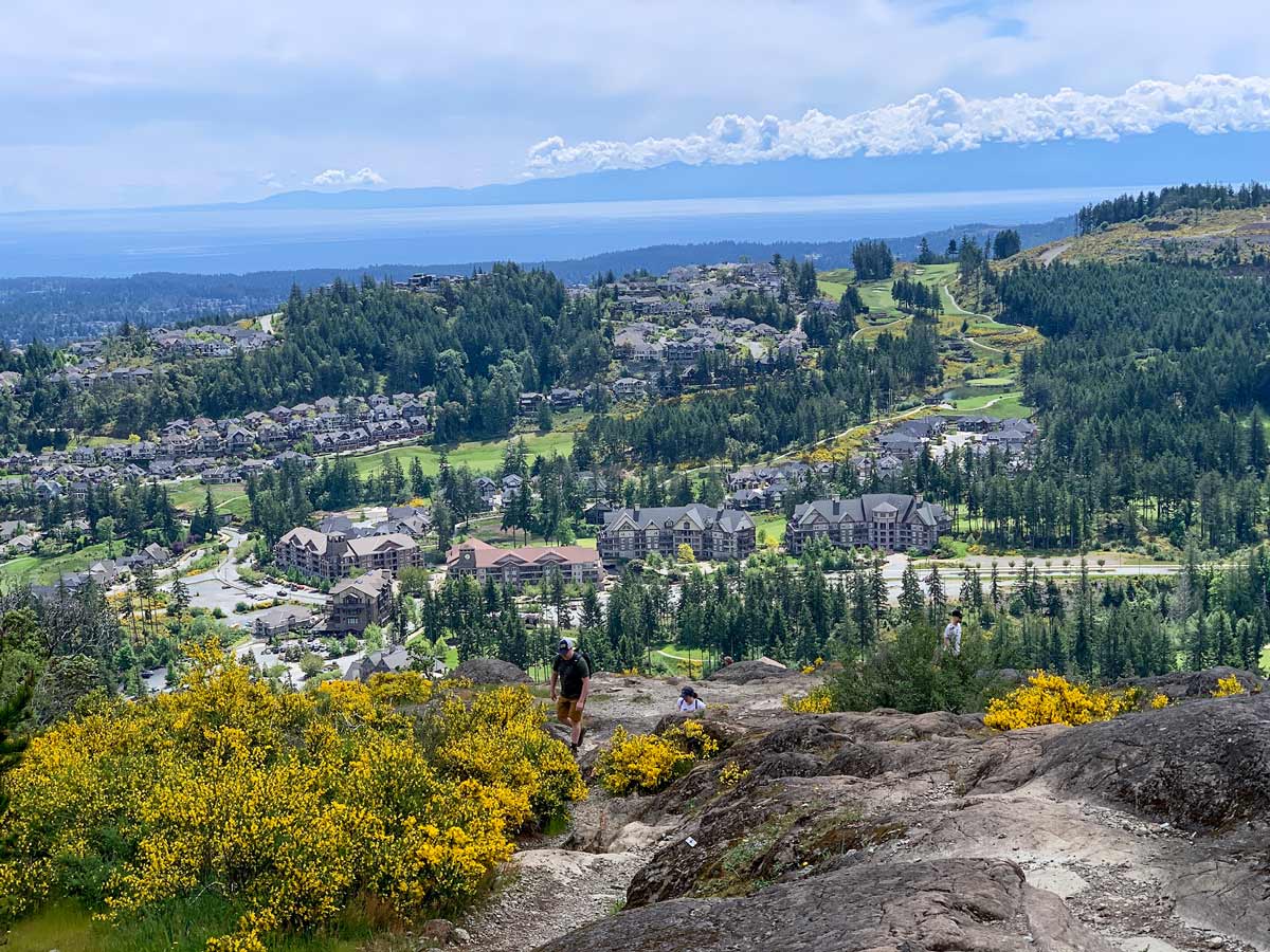
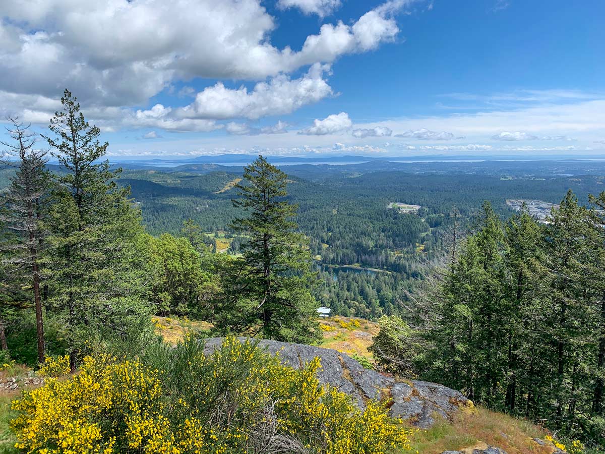
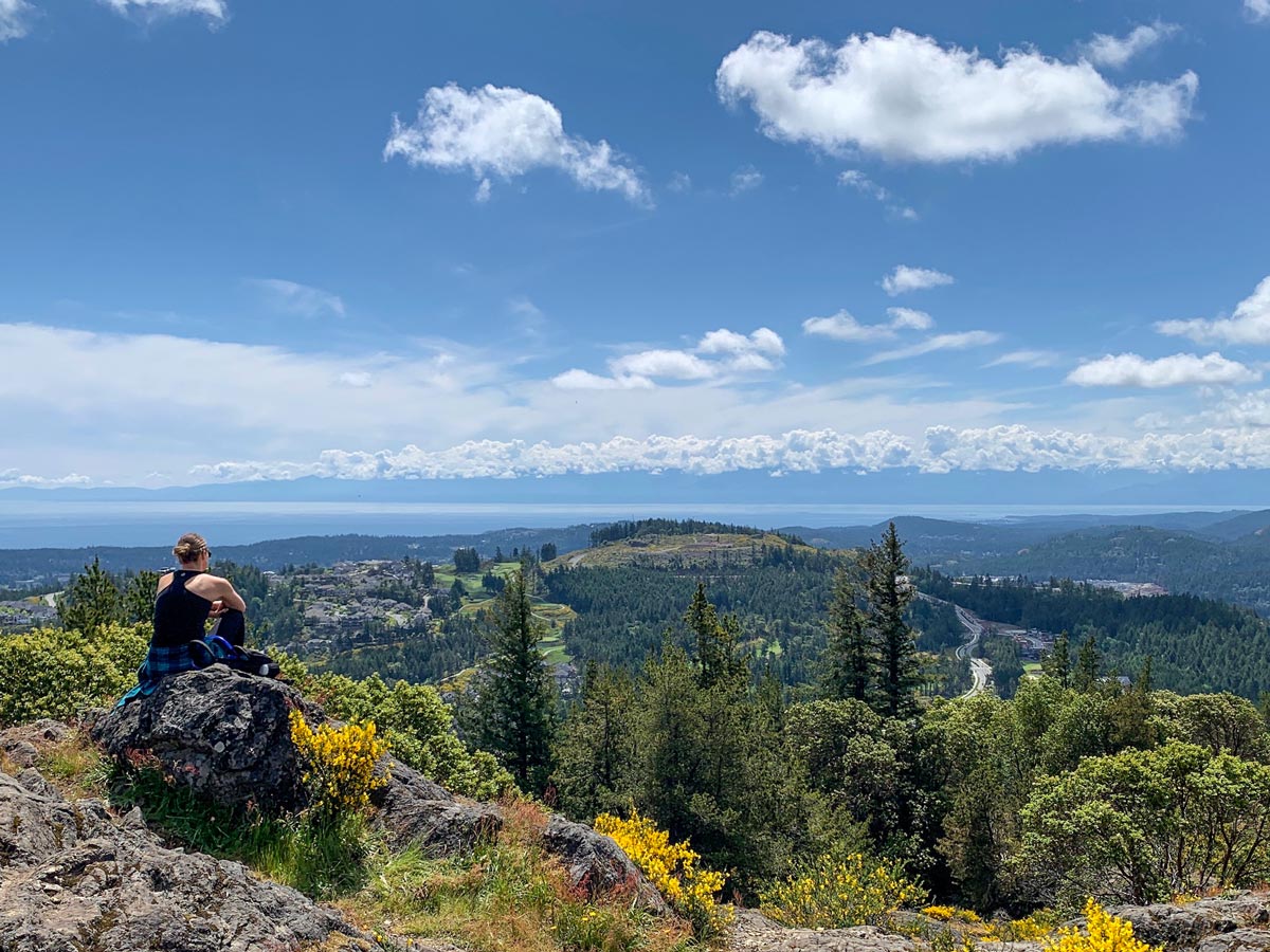
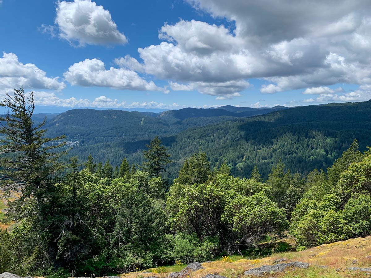
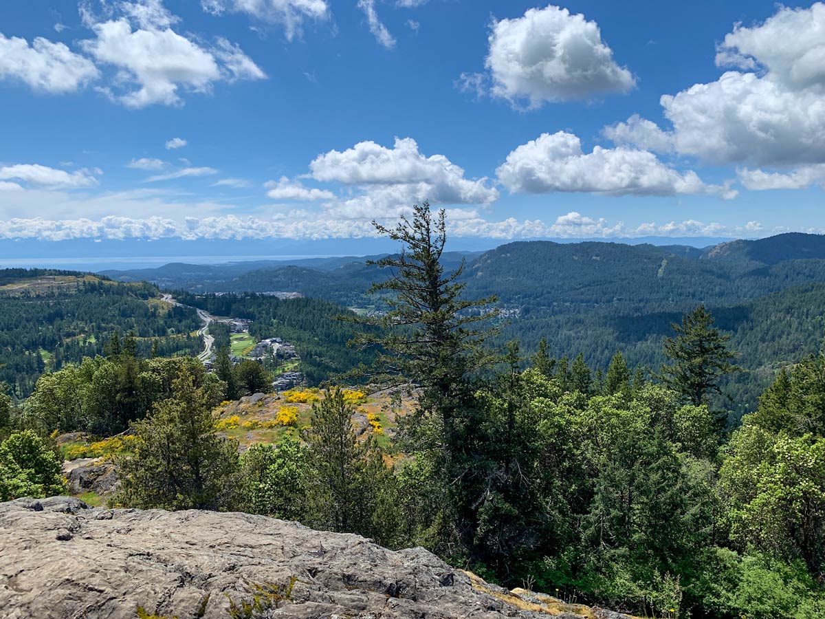
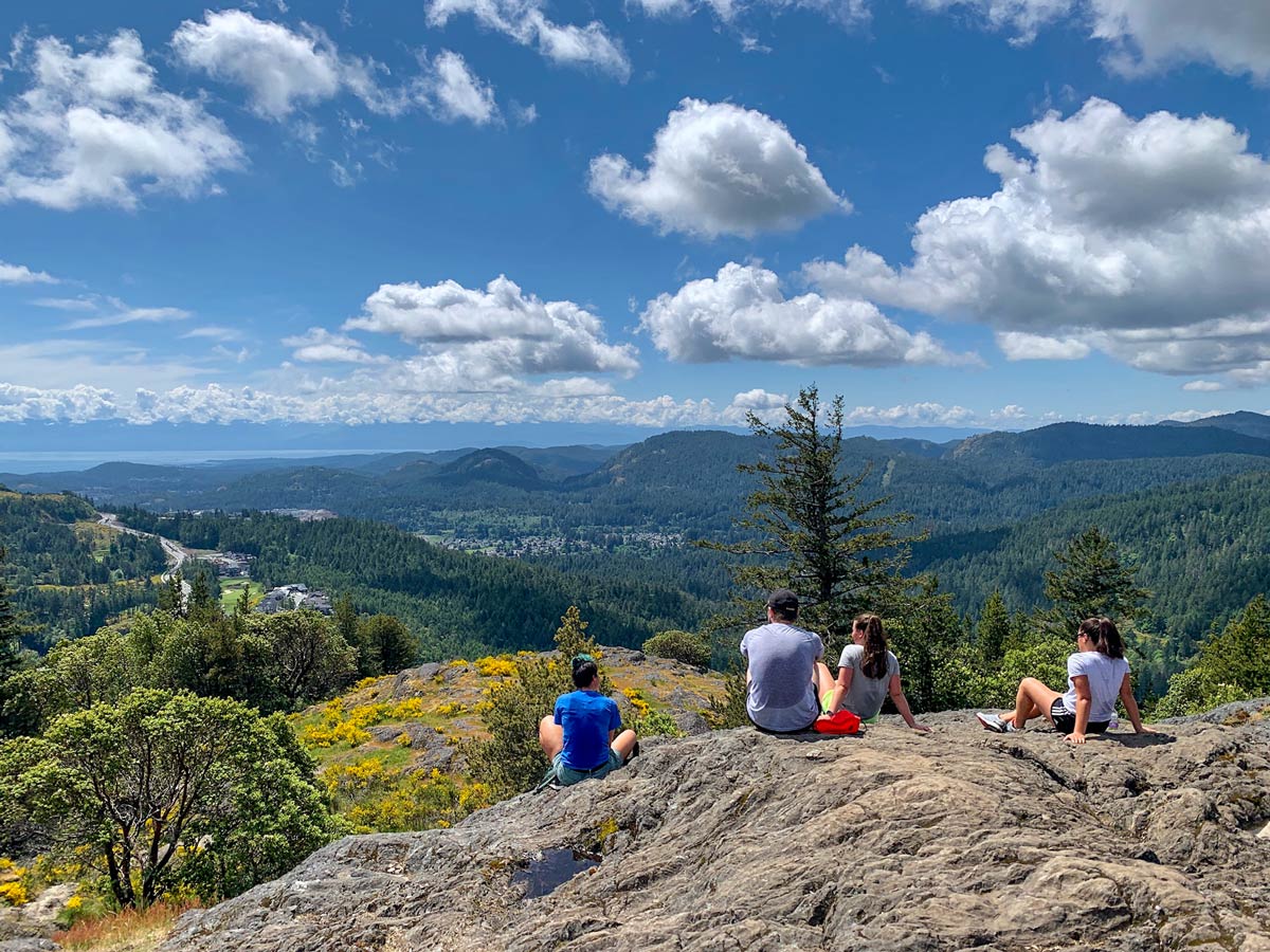
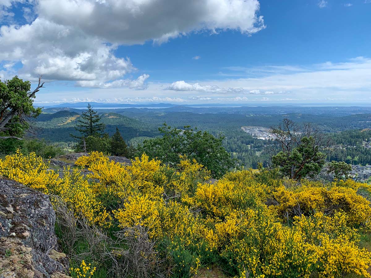
Mount Finlayson is a steep, adventurous hike that will undoubtedly elevate your heart rate. Locals in Victoria, BC love this classic hike for the scramble—which can have you crawling on all four limbs—and decent views of the landscape layered in vibrant greens below.
Getting there
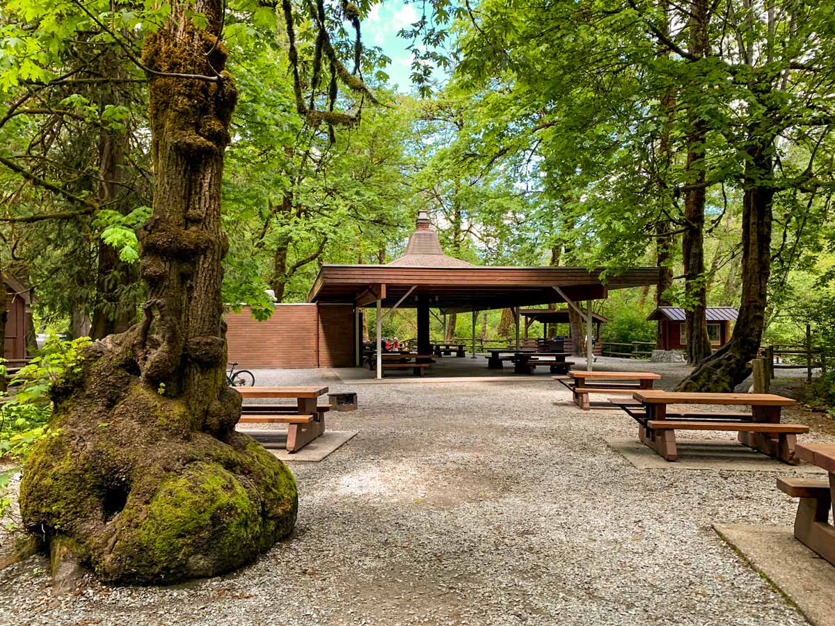
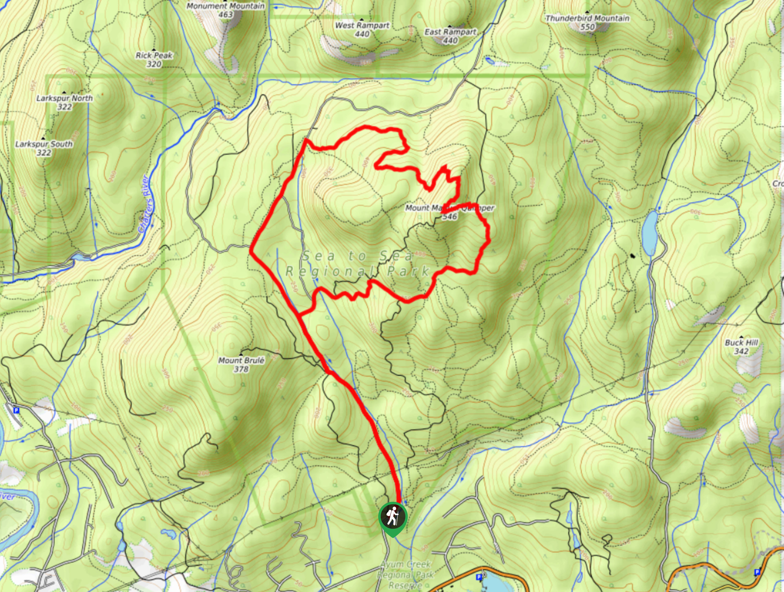
The hike begins from the main parking lot in Goldstream Provincial Park, just off of Finlayson Arm Road.

About
| When to do | All year long |
| Backcountry Campsites | No |
| Pets allowed | Yes - On Leash |
| Family friendly | No |
| Route Signage | Average |
| Crowd Levels | High |
| Route Type | Out and back |
Mount Finlayson
Elevation Graph
Weather
Route Description for Mount Finlayson
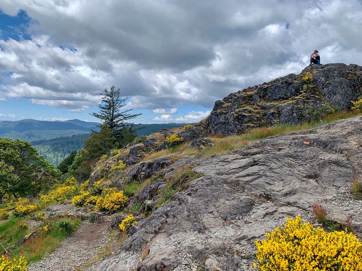
Mount Finlayson is one of the best hikes to do if you’re looking for a heart-pounding cardio workout—the steep elevation forces you to get on all four limbs and climb at some points. And while the orange/yellow diamonds or orange arrows mark the route, you can easily miss them as you come down from the pinnacle.
On the flipside, it’s best to avoid hiking up Mount Finlayson if it’s rainy or wet to avoid injury when you’re climbing on exposed rock with your hands and feet.
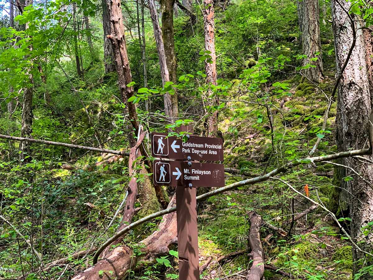
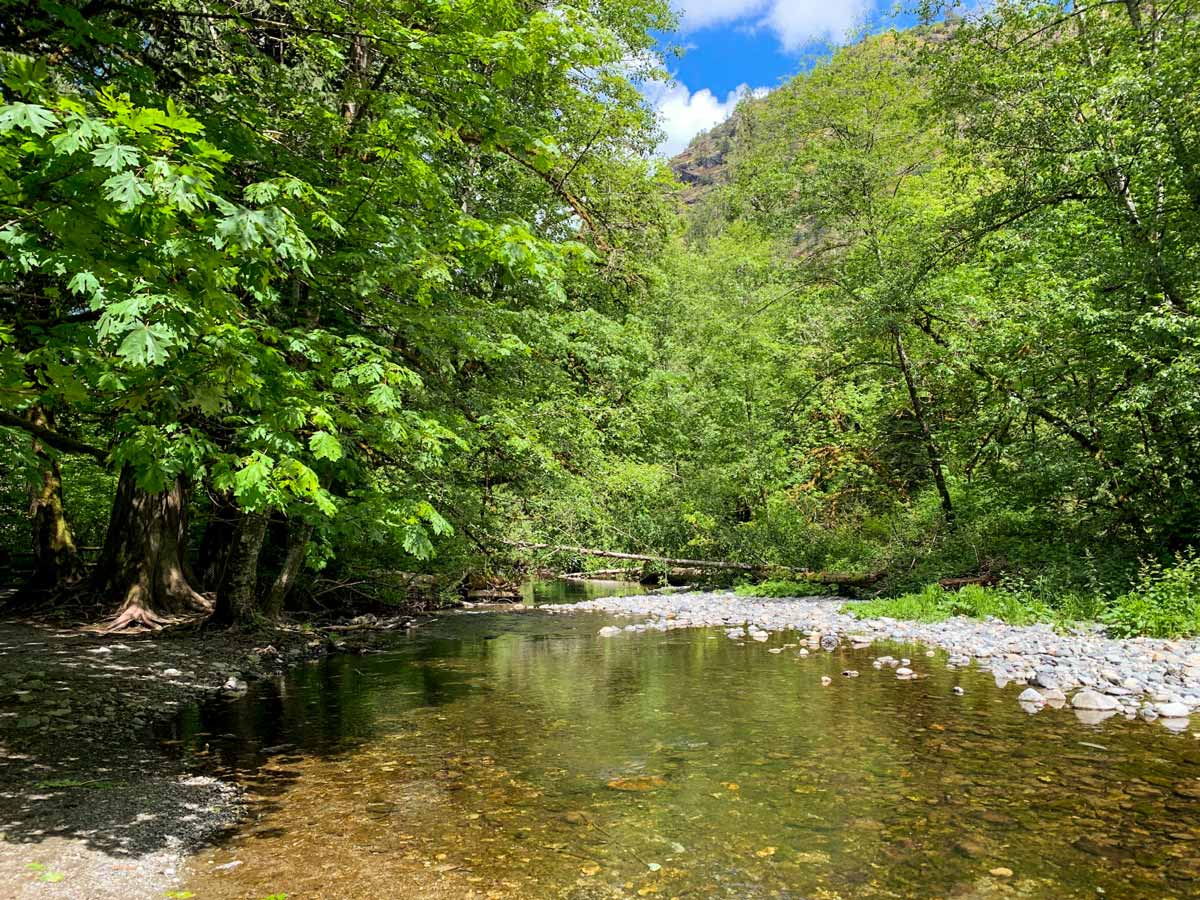
From the parking area in Goldstream Provincial Park, you’ll go back to Finlayson Arm Road and go left, crossing the Finlayson arm bridge. This bridge allows car and pedestrian traffic. Keep walking down the road to the trailhead. You’ll find the trailhead for the Mount Finlayson hike on your right, as the road curves to the right.
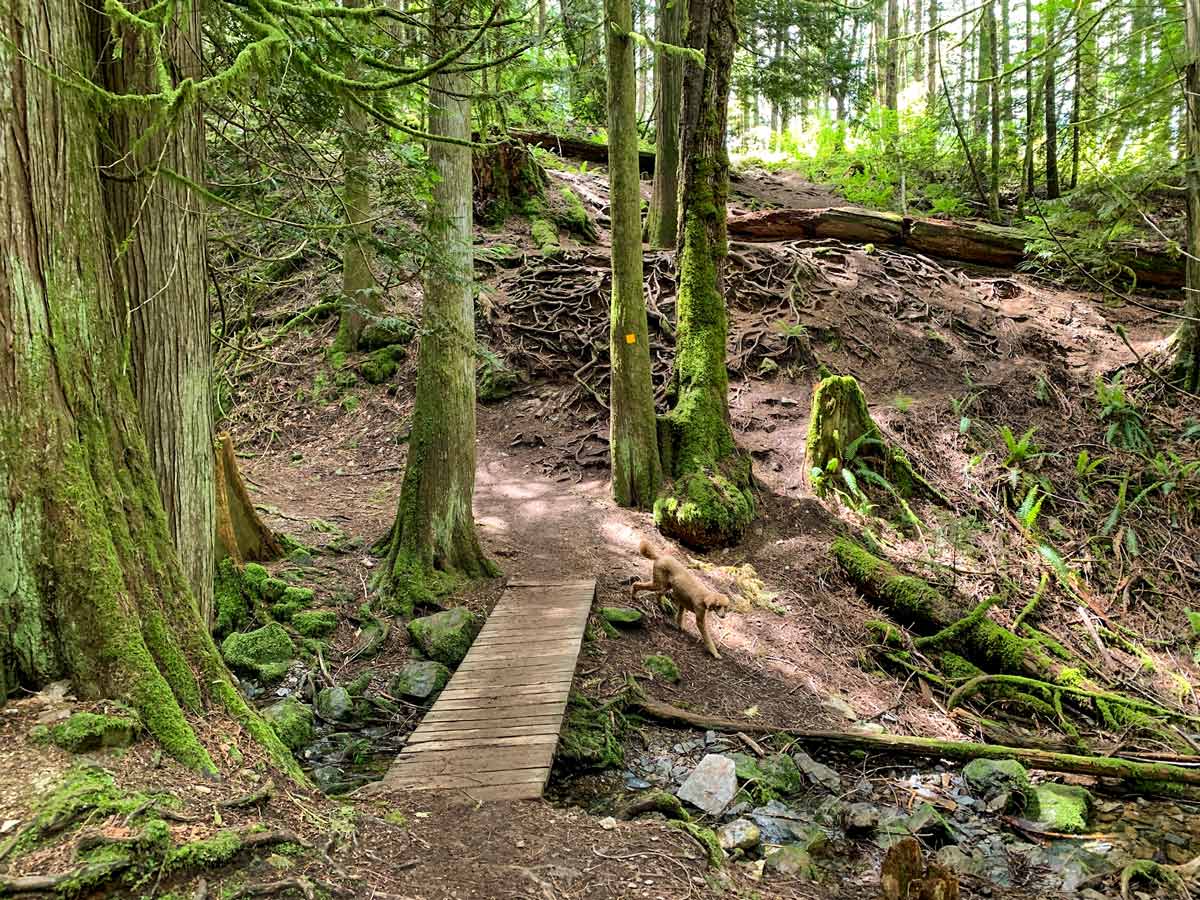
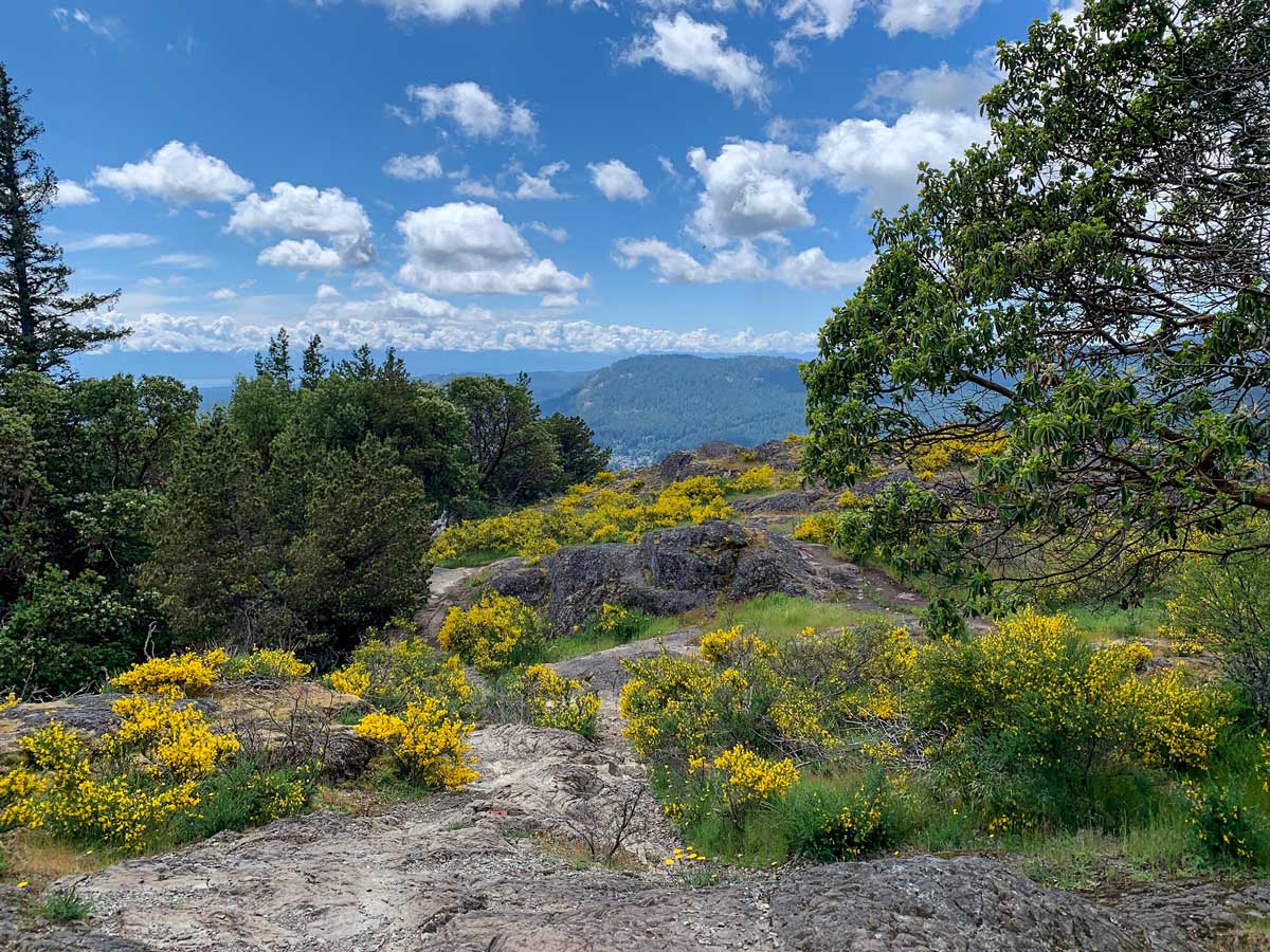
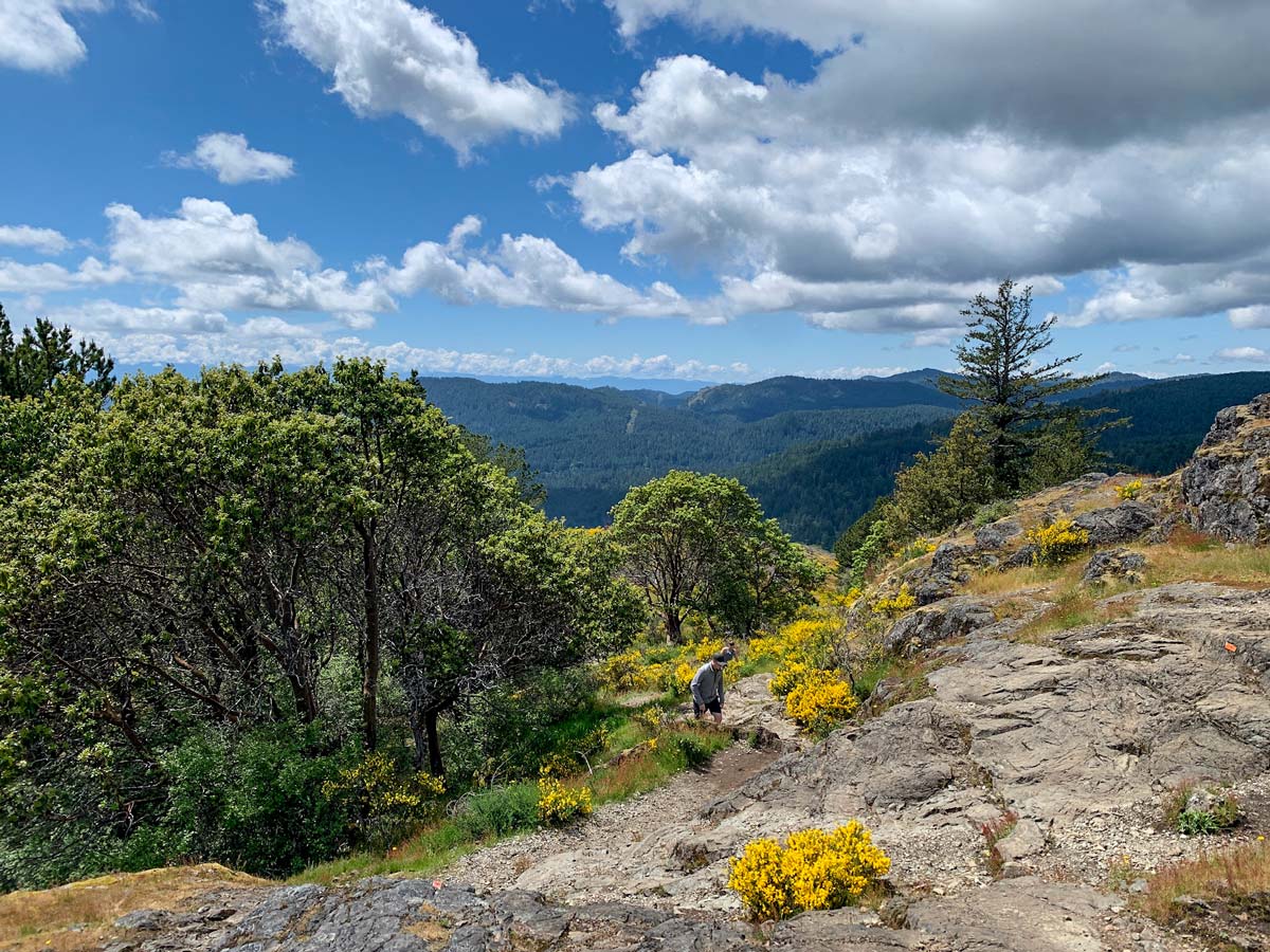
Coming off the road, the hiking path is easy to find. If you have any doubts, look for orange arrows or yellow triangles!
The path up Mount Finlayson is easy to see when you are walking through the forest, but as you start to get out of the trees, the trail can be a little bit more challenging to navigate due to less visible markings.
Note that the path above the trees is more challenging and may require some scrambling and use of your hands. This is not a recommended route to attempt when it’s rainy or wet (nor is it any fun)!
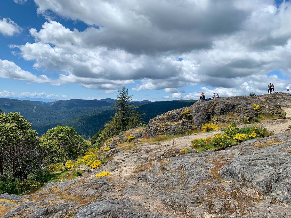
The views from the top are very nice, and after a break retrace your steps for the way down. On the descent be especially careful and look out for trail markers. It is easy on the way down to lose the trail. You’ll pass two junctions on your way down. Be sure to stay to the right!
Insider Hints
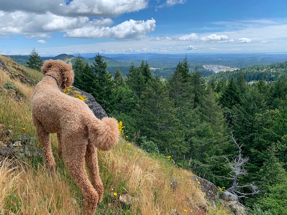
Your dog may find the scramble difficult, so keep this in mind before you bring your pup. Older dogs or certain breeds may struggle.
You’ll find toilets at the parking lot.
There is an incredible playground just north on the road where you park your car. If you have kids, come just for the playground.

Similar hikes to the Mount Finlayson hike
Mount Manuel Quimper Trail
The trek to Mount Manuel Quimper is a 6.2mi lollipop hiking route that climbs uphill through the forest…
Prior and Thetis Lakes Loop Hike
The Prior and Thetis Lake Loop will take you along an 5.0mi lollipop hiking route through a beautifully…
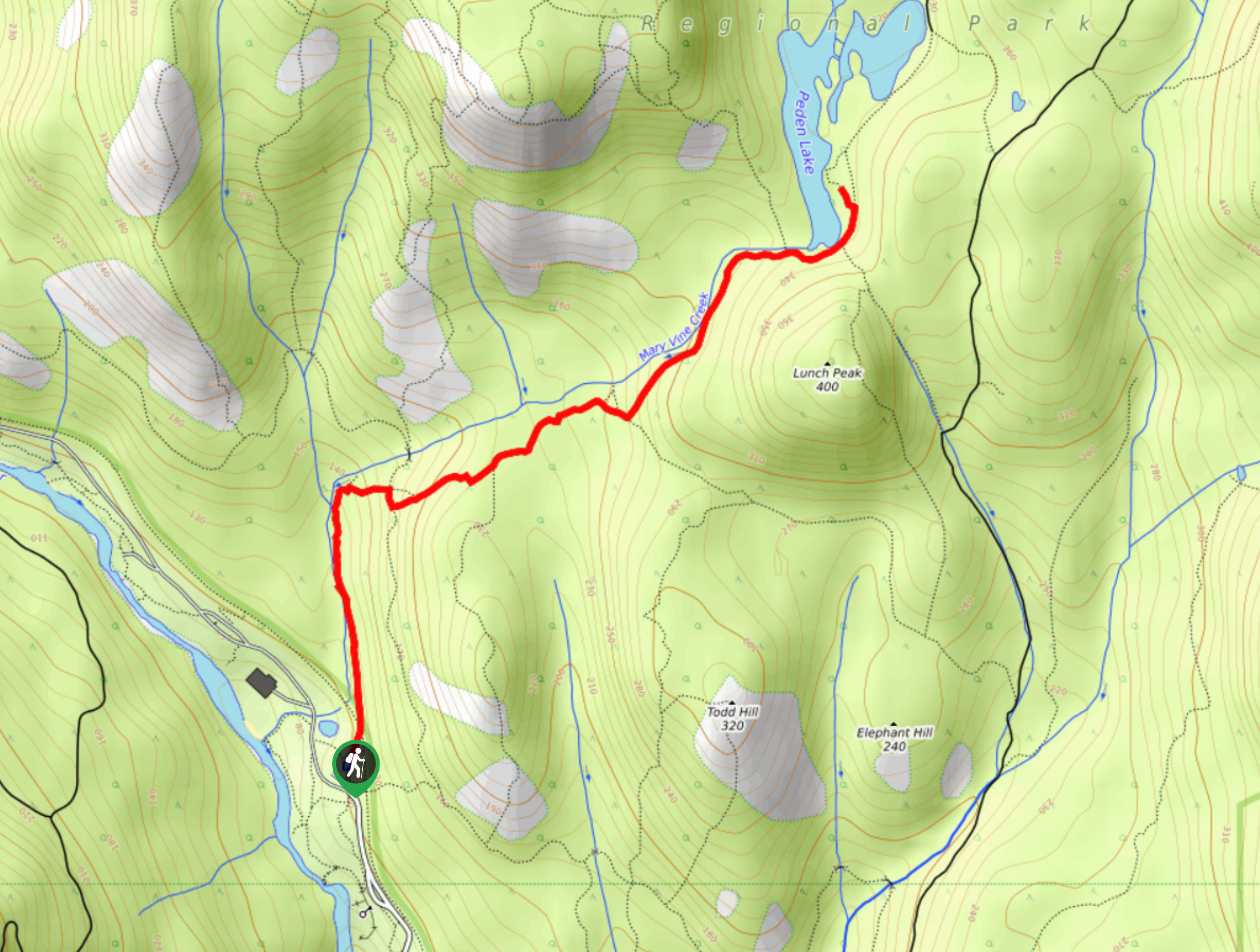
Peden Lake via Mary Vine Trail
Peden Lake via the Mary Vine Trail is a 3.2mi out-and-back hiking route in the Seas to Sea…
Emma Stanley 4 years ago
in all honesty, the scramble was not that hard even though it was a little challenging! this classic hike offers unforgettable expansive scenery! probably one of the best in the park!
Molly Pineda 5 years ago
Awe-inspiring hiking area and surroundings. Be careful while scrambling, It can be slippery in spots. Be sure to bring proper footwear as well as trekking poles.
Teddy Lumber 5 years ago
Astonishing scenery! Glad the weather was perfect and we were able to do Mount Finlayson without any trouble.
Lennon Fitz 5 years ago
The landscapes in this area awe-inspiring. I didn't have any trouble finding the path up the mountain at all.
aeropanda 5 years ago
Beautiful views. A little scrambly hiking. Gorgeous views.Worth pushing through!
Kalebhg 5 years ago
Gotta love this hike! The views are beautiful and the atmosphere is calming.
Stella Winster 5 years ago
A very steep but rewarding hike. There are some slick rocks and tough spots near the top. It took us less than 2 hours to get around and complete it. So happy to see the views from the top.