
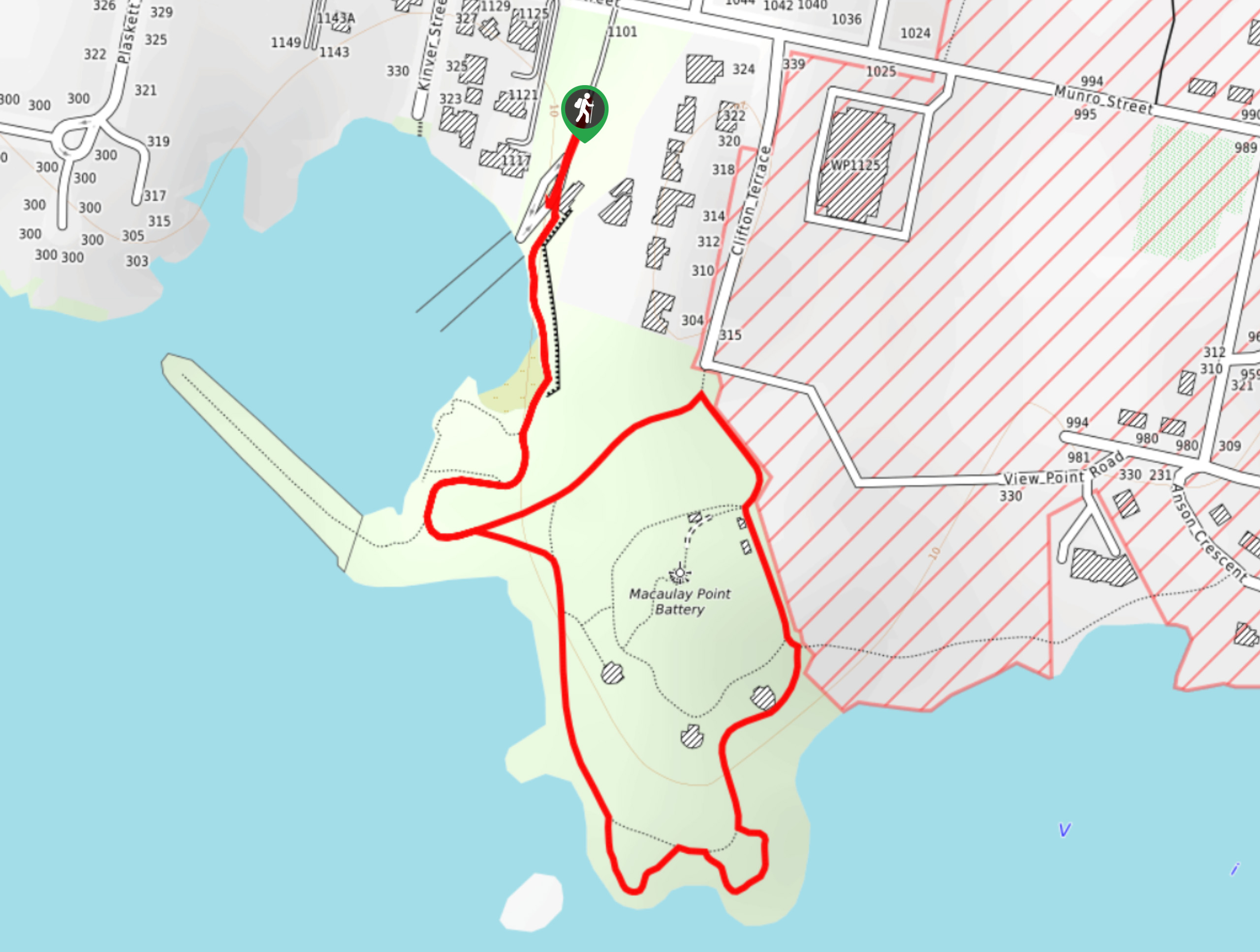
Macaulay Point Loop Hike
View Photos
Macaulay Point Loop Hike
Difficulty Rating:
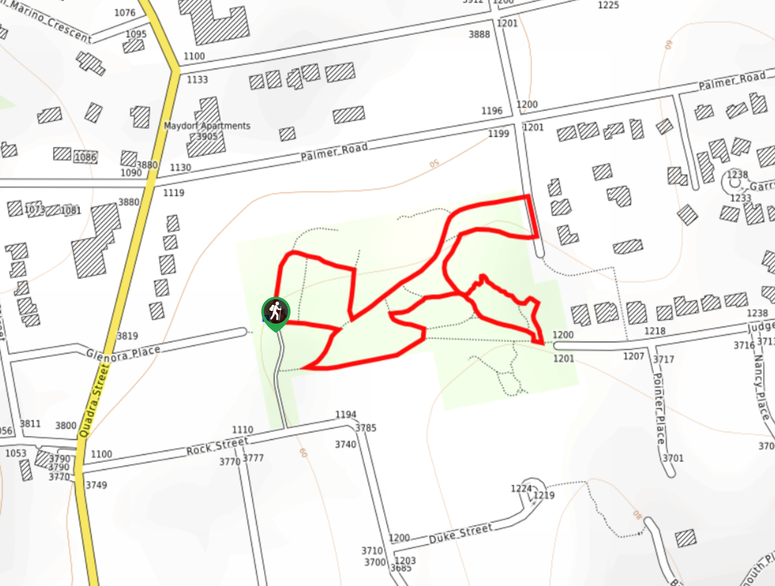
The Macaulay Point Loop is a 0.9mi lollipop hiking route west of Victoria, BC, that traverses the water’s edge and provides scenic views of the Juan de Fuca Strait. In addition to the scenic views, hikers will also be able to explore the area around a number of historic military buildings that make up the Macaulay Point Battery. With a flat and easy to navigate trail system, this hike is perfectly suited for hikers of every skill level, as well as those with historical interests.
Getting there
To reach the trailhead for the Macaulay Point Loop from Saanich, head northwest on BC-1 for 0.6mi and turn left onto Tillicum Road, following it for 1.4mi. Make a slight left on Transfer Street and follow it for 394ft before turning right on Lampson Street. Continue on for 1.3mi and make a right onto Munro Street, followed by a quick left. In 295ft, you will arrive at the parking area.

About
| When to do | Year-Round |
| Backcountry Campsites | No |
| Pets allowed | Yes |
| Family friendly | Yes |
| Route Signage | Average |
| Crowd Levels | Low |
| Route Type | Lollipop |
Macaulay Point Loop Hike
Elevation Graph
Weather
Macaulay Point Loop Hike Description
Hikers along the Macaulay Point Loop will be able to double down on their excitement for the day, as the trail provides the opportunity for some amazing views of the beautiful coastal landscape, as well as the chance to explore the old fortifications that make up the Macaulay Point Battery, a coastal gun emplacement form the late 1800s. Setting out from the trailhead, follow the route to the south as you hike along the edge of the water and enter Macaulay Point Park. From the junction near the picnic area, take the path to the right to continue hiking along the coast while enjoying the views of the ocean on your right and the historic buildings on the left. Follow the trail as it turns north away from the water to get a better perspective on the fortifications that were abandoned in 1956 before wrapping up the hike by returning to the parking area where you began.
Similar hikes to the Macaulay Point Loop Hike hike
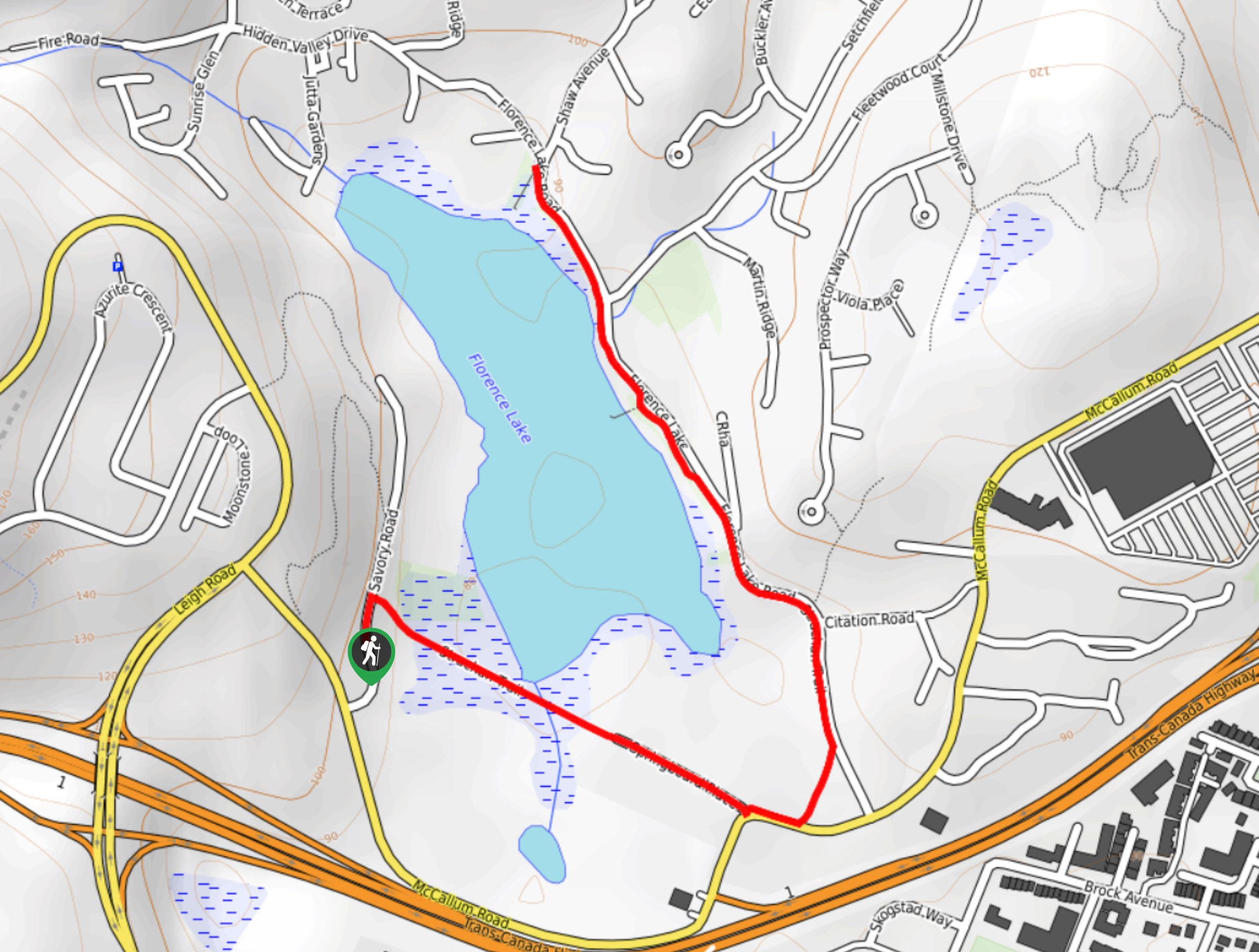
Florence Lake
The hike around Florence Lake follows a 1.9mi out-and-back route in Langford that travels around the southern edge…
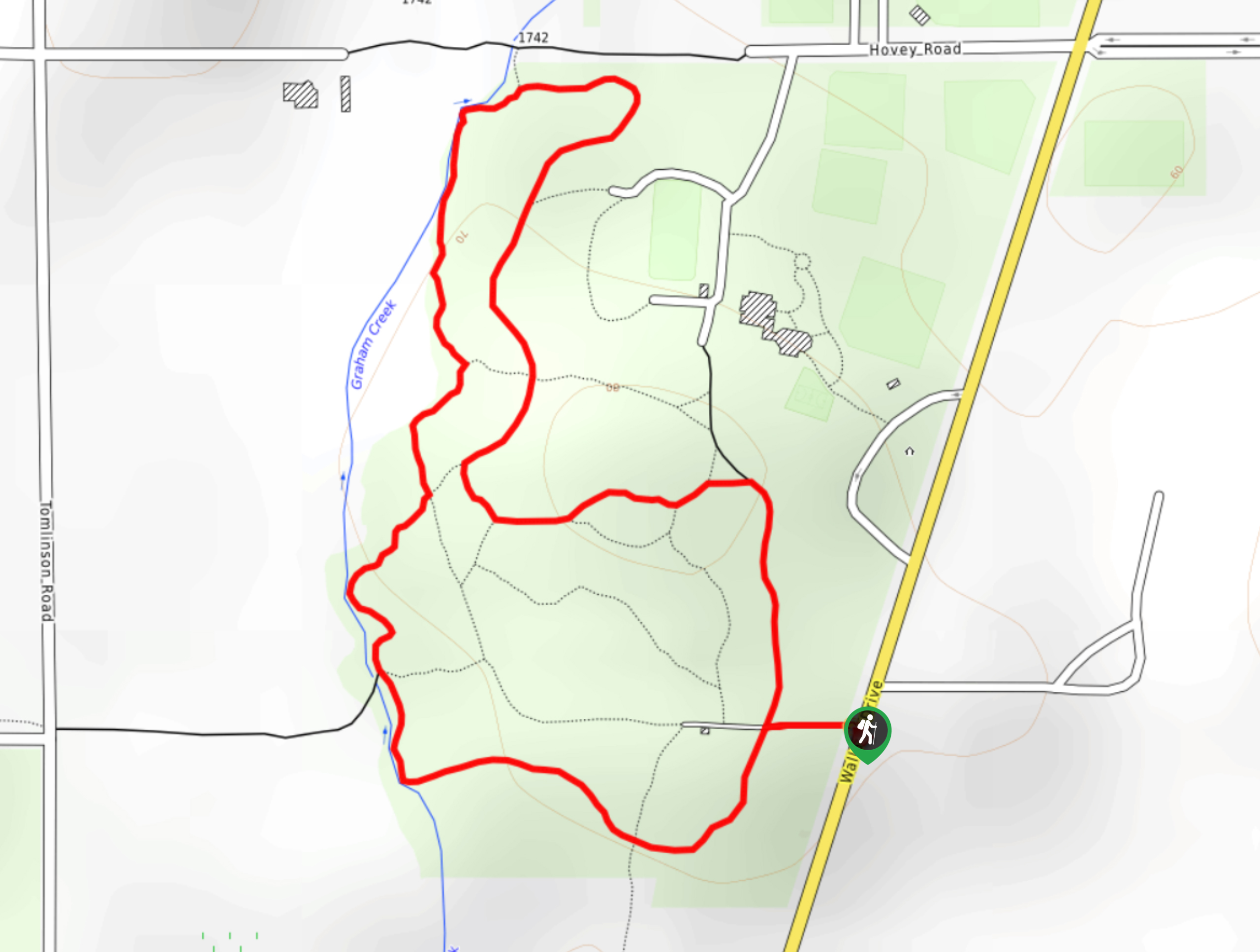
Centennial Park Loop Hike
The Centennial Park Loop is a 1.0mi lollipop hiking route north of Victoria, BC, that travels through an…
Playfair Park Hike
The Playfair Park trail follows a 0.7mi hiking circuit in Saanich, BC, that traverses a series of paved…
Comments