
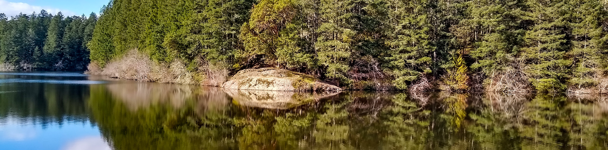
East Sooke Coast Trail hike
View Photos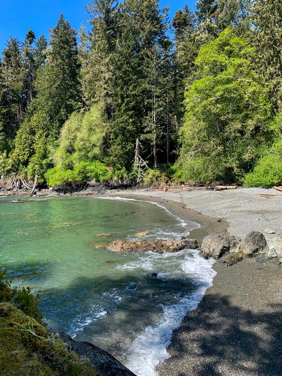
East Sooke Coast Trail hike
Difficulty Rating:
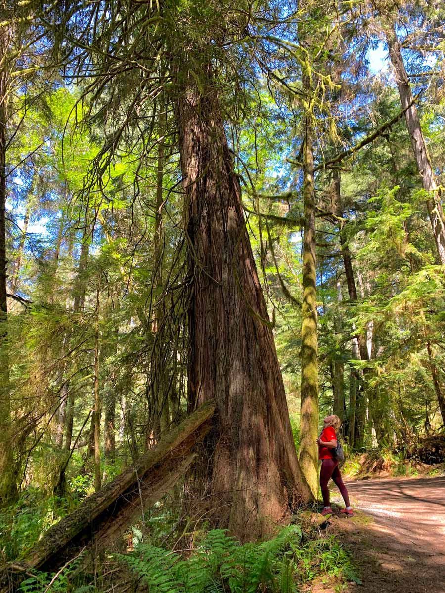
While the East Sook Coast hike is relatively close to Victoria, it still totally immerses you in the wild. Animals dot the land, the salty Pacific Ocean breeze is in the air, and the views stagger throughout the hike, whether you're snaking through the forest or walking along the rugged shoreline. You may have to do some Class 2 scrambling to get up some rocks, but it’s all a part of the adventure, right?
Getting there
This hike is shown as a one-way route. This means you’ll need a 2nd car, and to park one car at Pike Road and another at Aylard Farm. It takes around 45 minutes to get to either of these points from Victoria.

About
| When to do | All year long |
| Backcountry Campsites | No |
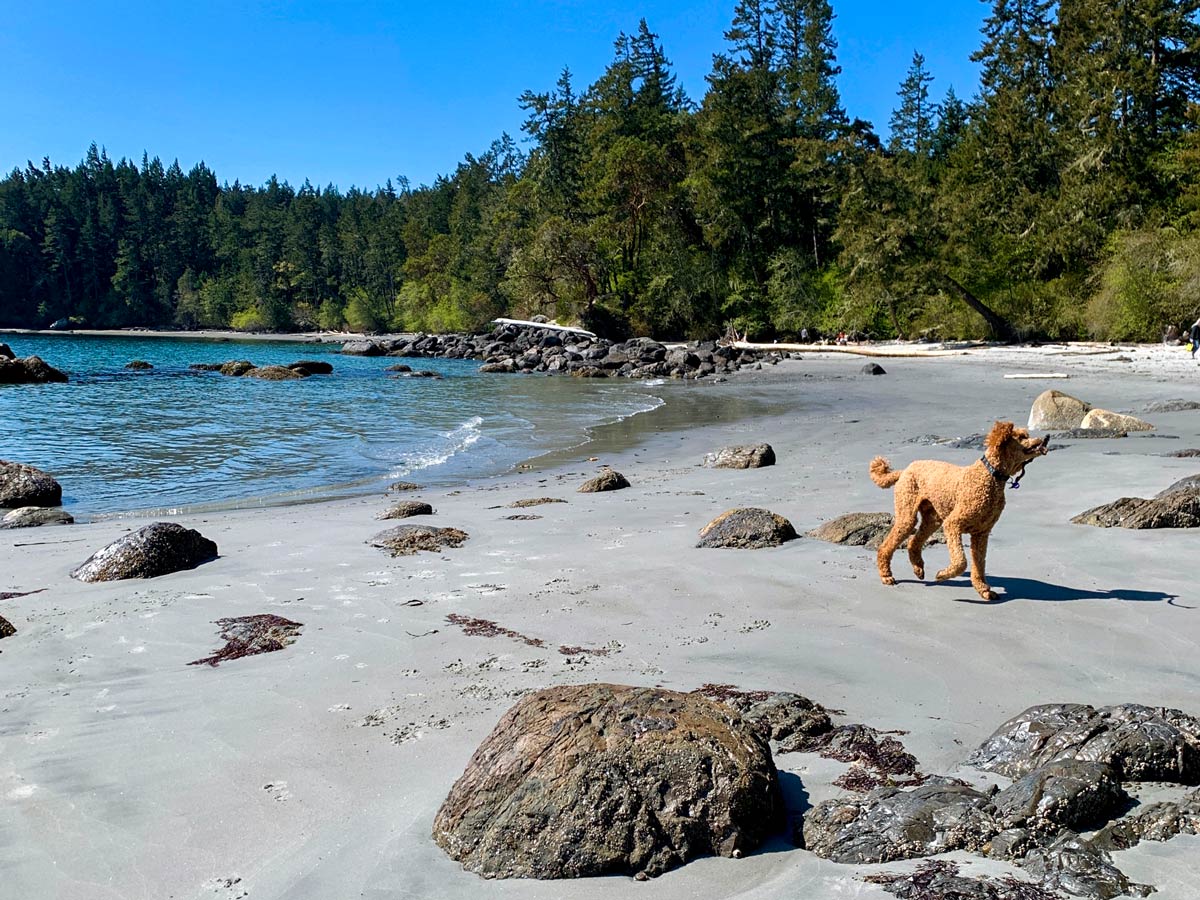
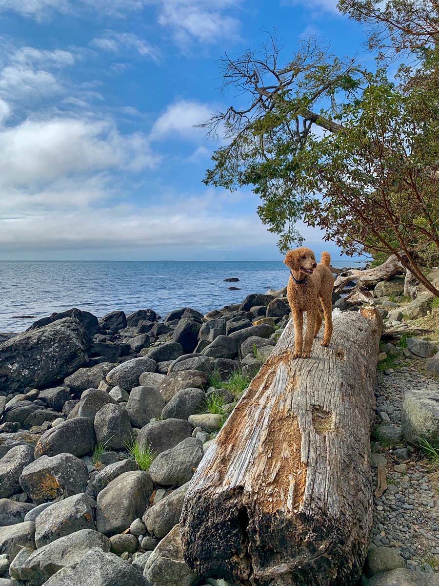
| Pets allowed | Yes - On Leash |
| Family friendly | No |
| Route Signage | Average |
| Crowd Levels | Moderate |
| Route Type | One Way |
East Sooke Coast Trail
Elevation Graph
Weather
Route Description for East Sooke Coast Trail
The East Sooke Trail is only 8.1mi long, however this hike traverses some tough terrain, taking you across roots and over rocks, which adds more time to the overall journey. It’s best to prepare for 5 to 8 hours of hiking!
It’s also important to note that we show this as a one-way hike and you’ll need a car shuttle, with one car at either end. Another option is to do an out-and-back hike from either of the trailheads to the halfway point and back. This allows you to not need a car shuttle.
Walking the East Sooke Trail is a well-marked hiking trail, so it’s difficult to get lost.
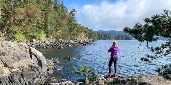
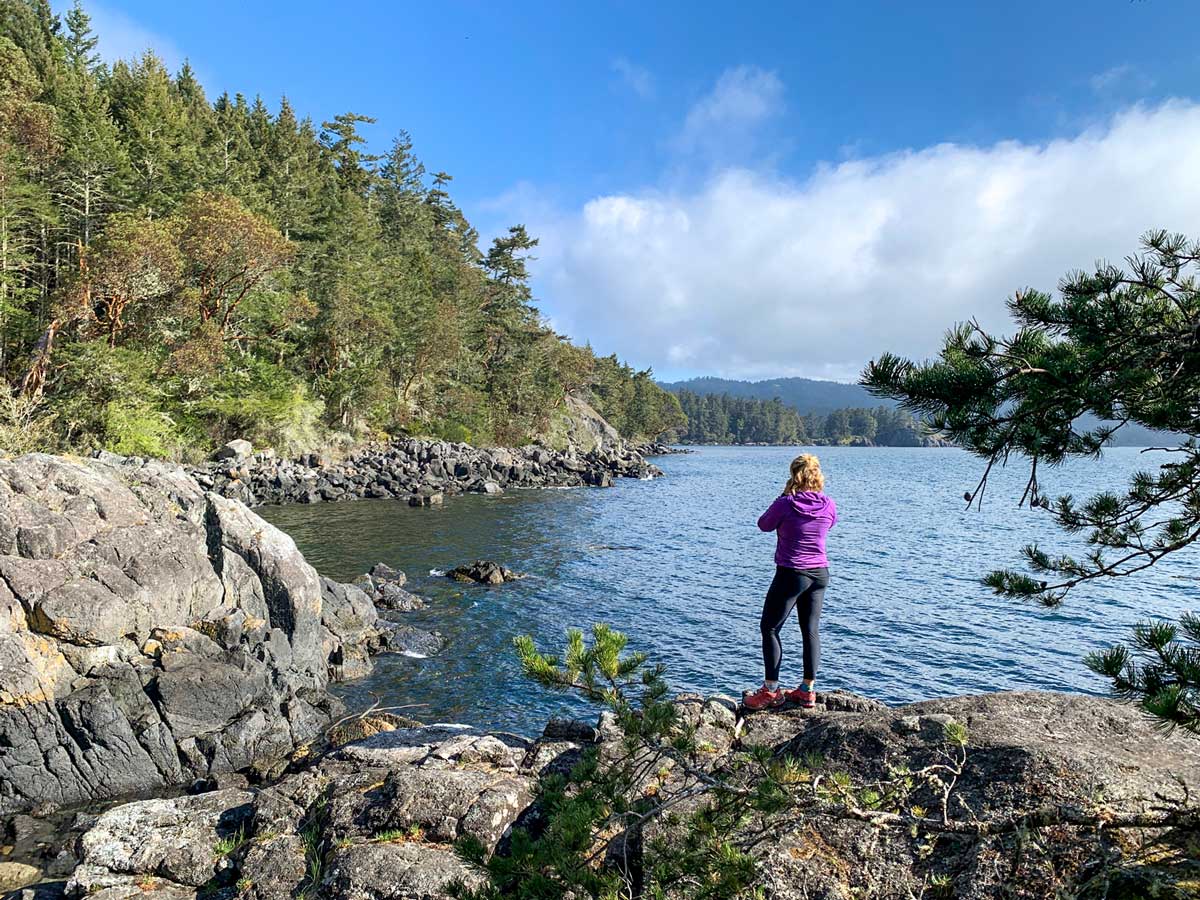
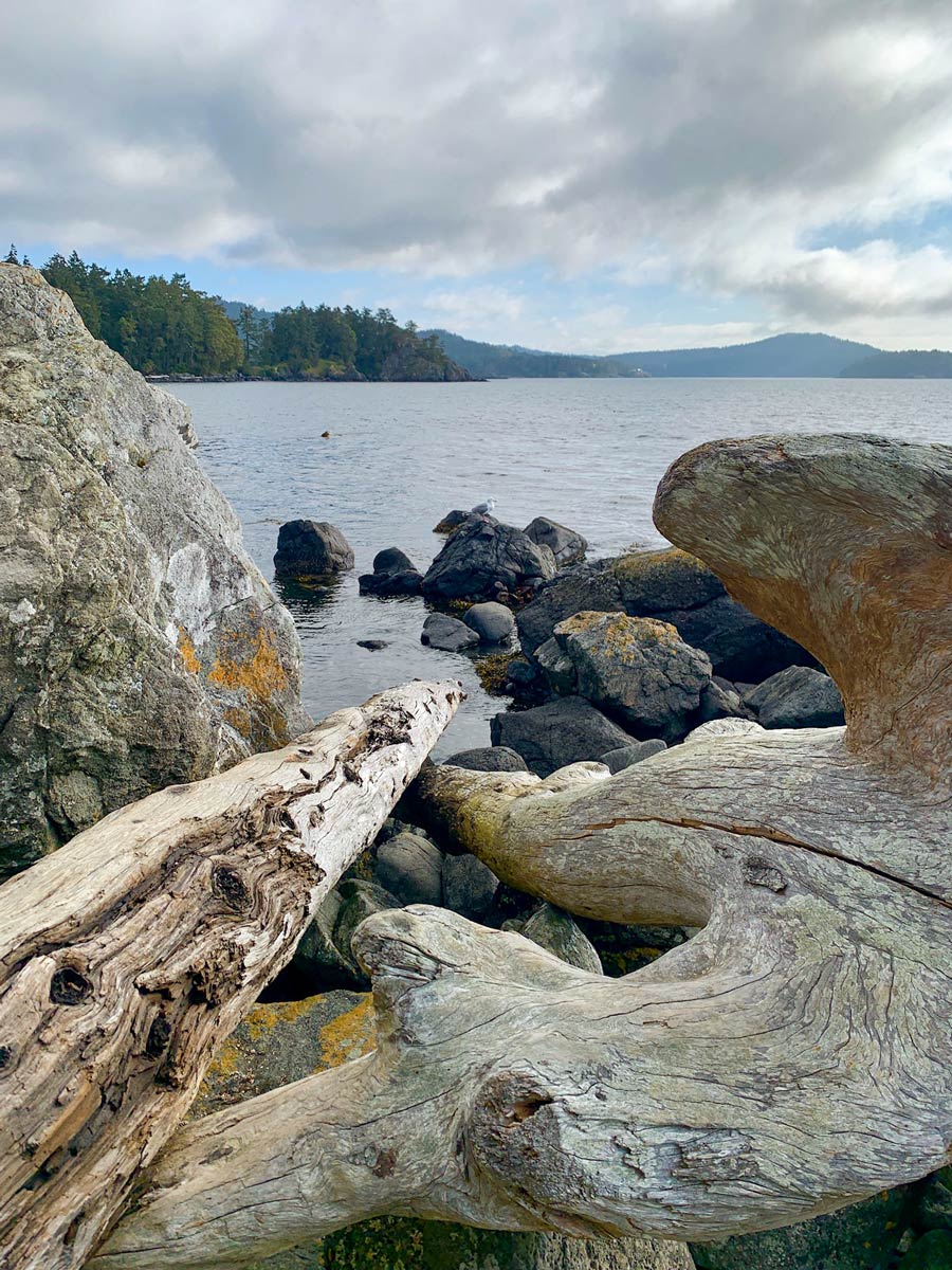
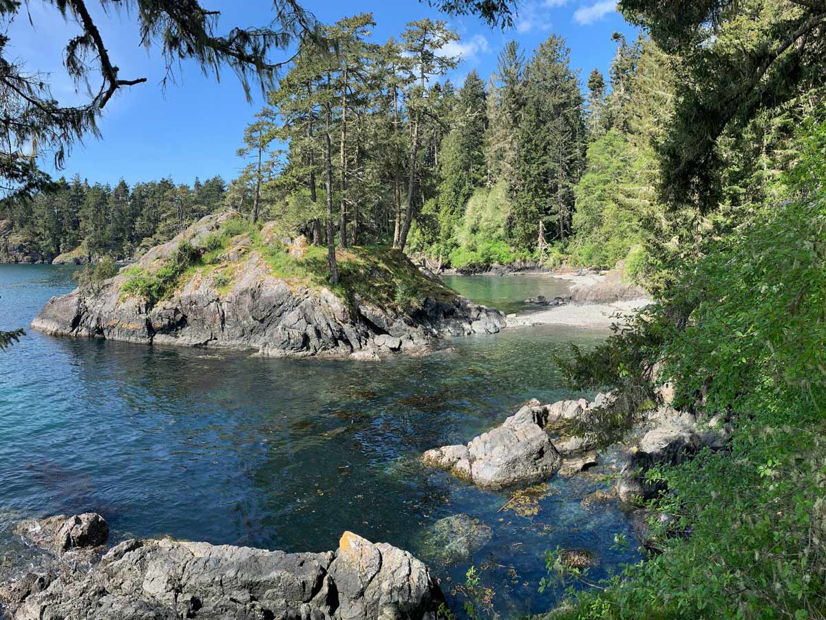
We like to start at the western edge of the trail, but it really doesn’t matter. From this part of the trail you will walk quickly down to Iron Mine Bay. Along the way you’ll meet up with Pike Creek, and then soon you’ll reach Iron Mine Bay, and you can look out onto the Salish Sea, and across to Olympic National Park in Washington State.
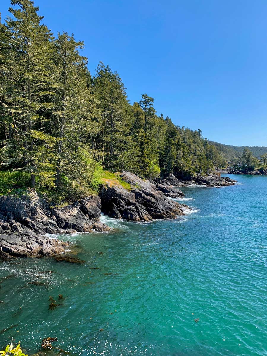
Head left (east) and wander along the coast. The route goes inland at some points, crossing over streams and creeks. The route has a lot of small elevation gains and losses as it goes around inlets, and you also get spectacular views.
Between Iron Mine Bay and Parkheights, you’ll encounter more undulations as well as sections that require some minor scrambling. The intensity picks up between Parkheights and Cabin Point, but the remarkable views make up for the challenging trail.
Around midway on the trail you reach Cabin Point, a stunning part of the trail. We suggest planning a break hear, and just sitting for a snack and looking out at the beautiful ocean. Cabin Point is also a good turnaround location if you are doing an out-and-back route.
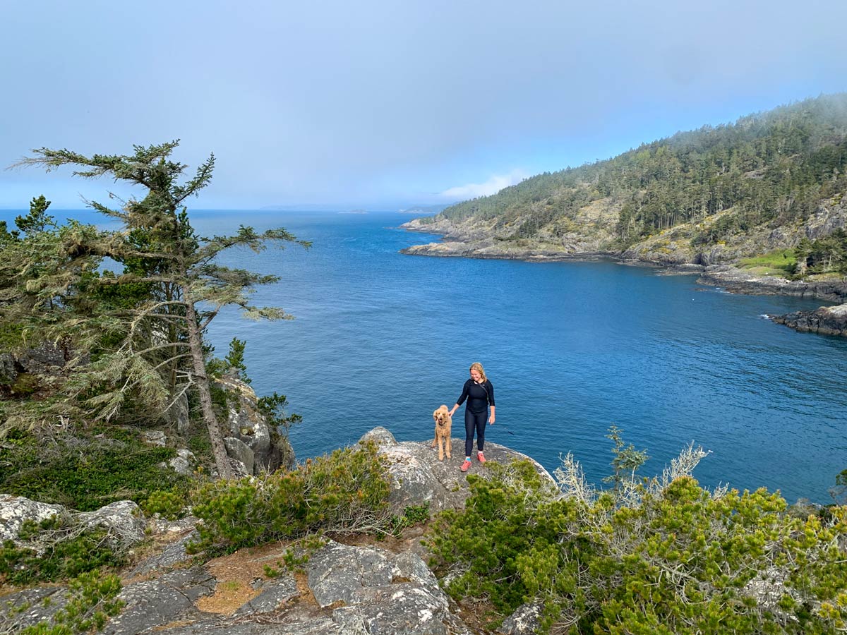
Continue following the East Sooke Trail along the coast, the trail is easier after Cabin Point, and your next landmark is Beechey Head, another fine viewpoint that looks out on the Salish Sea.
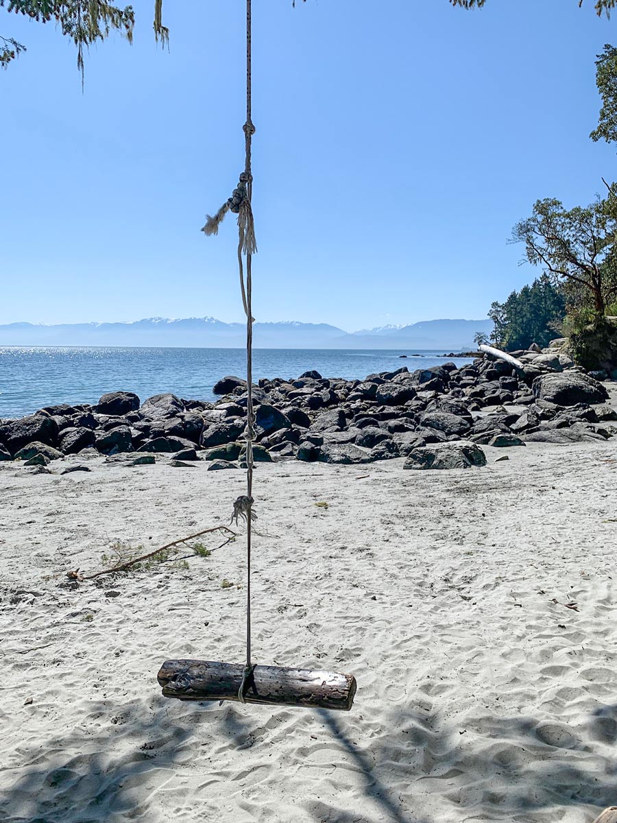
Follow the East Sooke Trail as it follows the curve of the coastline, and eventually turns north. Along the way you’ll pass some Petroglyphs, that are easy to miss. Finally, the path goes left and connects with Becher Bay Road, which you follow to Aylard Farm. Ayland Farm is popular with picnickers and has nice views.
Insider Hints
Park one car at Pike Road and another at Aylard Farm. You can do a loop, but this route offers staggering coastal views.
Bring a lot of water! This hike is tough!
Just north of Ayland Farm is a little community with some good options to eat. The Smokin Tuna Café is down by the water and is a great option but can get very busy. Sea Chest is a quick coffee and ice cream joint, worthy of a stop!

Similar hikes to the East Sooke Coast Trail hike
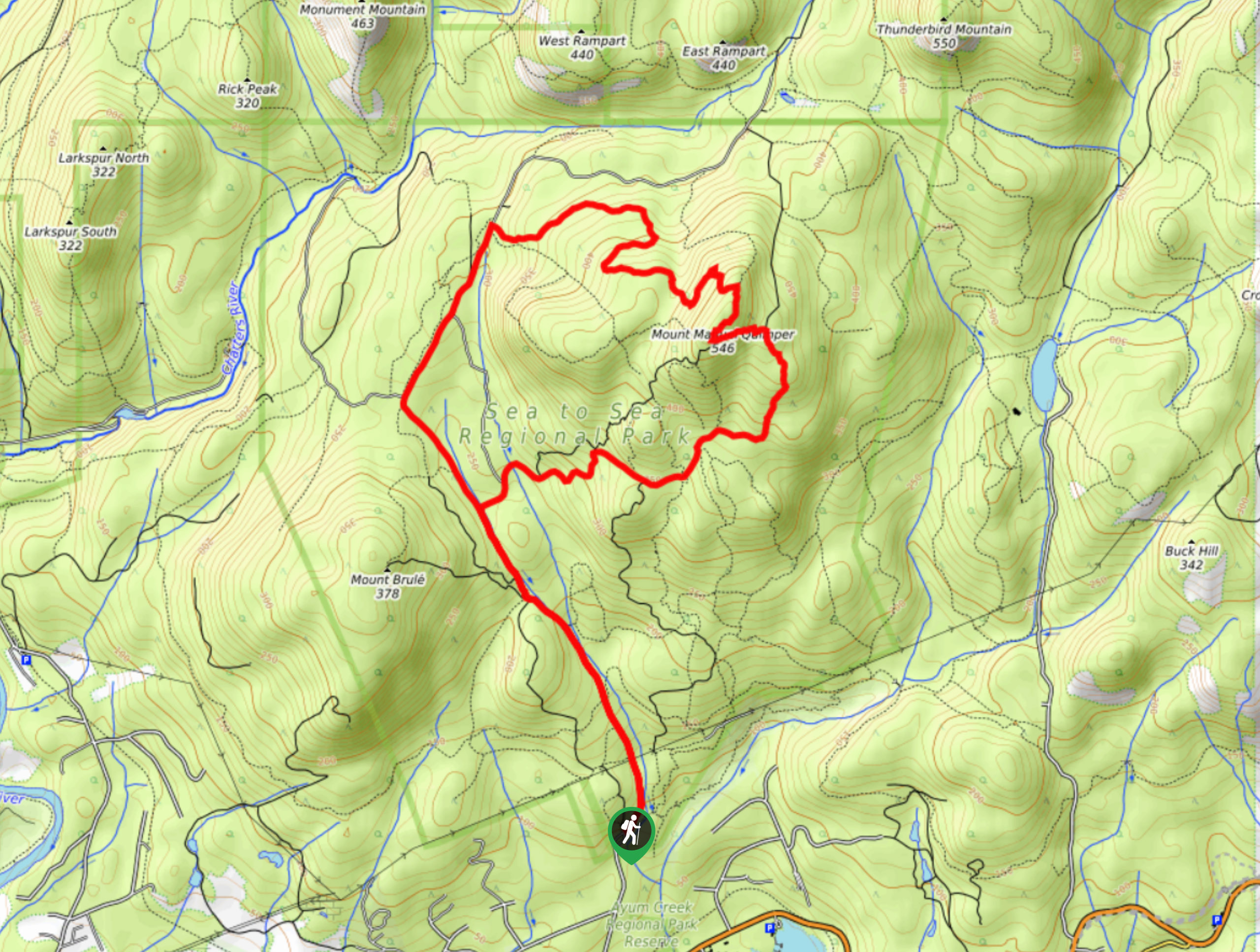
Mount Manuel Quimper Trail
The trek to Mount Manuel Quimper is a 6.2mi lollipop hiking route that climbs uphill through the forest…
Prior and Thetis Lakes Loop Hike
The Prior and Thetis Lake Loop will take you along an 5.0mi lollipop hiking route through a beautifully…
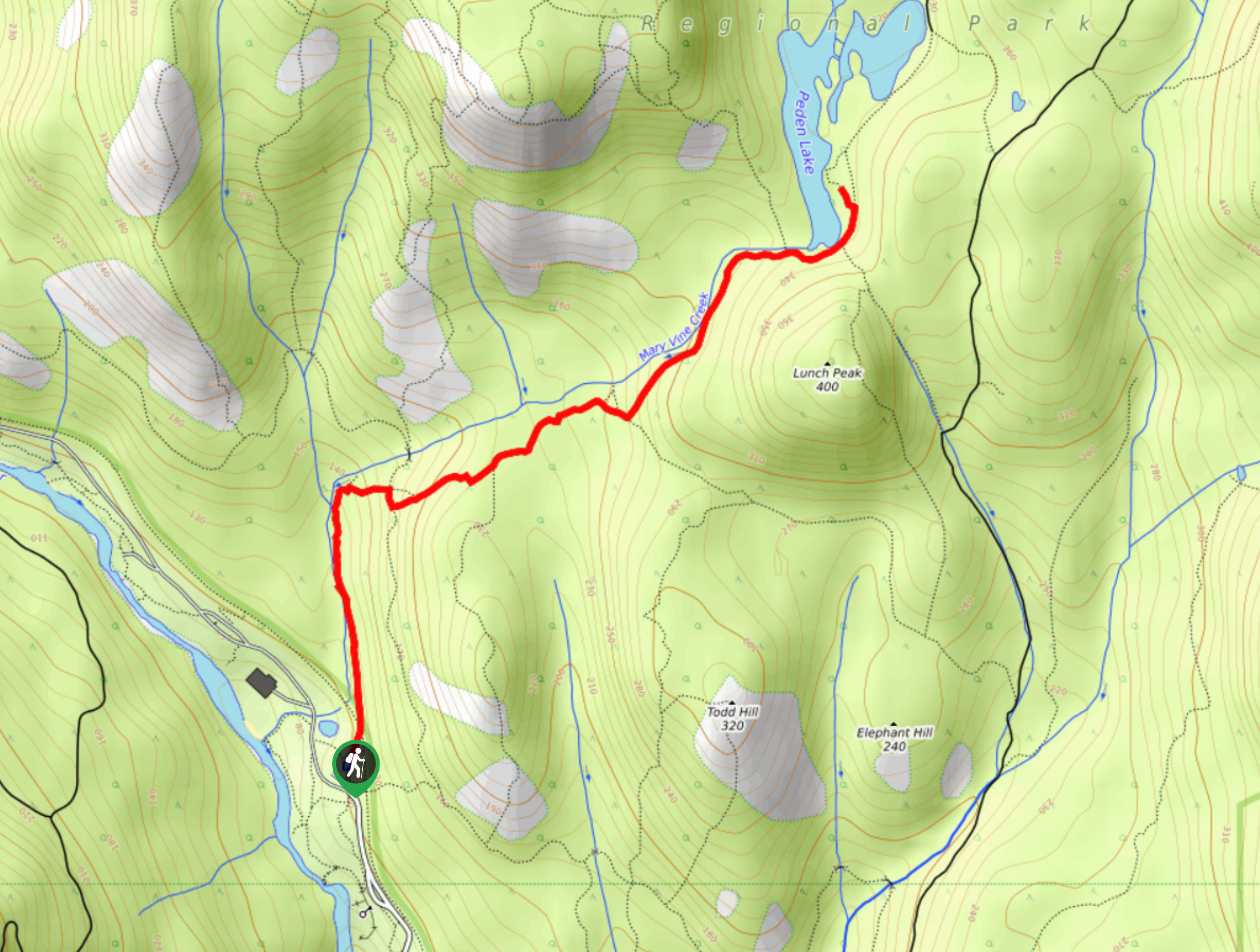
Peden Lake via Mary Vine Trail
Peden Lake via the Mary Vine Trail is a 3.2mi out-and-back hiking route in the Seas to Sea…
Fur Dates 4 years ago
Beautiful area with a good number of hiking trails ranging from easy to moderately strenuous. Trails are well marked and maintained for the most part. Use caution if walking when trails are wets.
Florian L. 4 years ago
Pet friendly and got the best views in Victoria. Nice walk through the forest! There are some sections that require some scrambling.
loneranger 5 years ago
The path was pretty straightforward. Definitely beautiful, but the scramble section was a different story.
Amethyst S. 5 years ago
We had a wonderful time enjoying the views of the sea. Great hike!
Wade Atkinson 5 years ago
Nice hike! The well-marked trail was fantastic. We had a smooth hiking experience.
Poppy Betelly 5 years ago
Splendid trail with lots of routes waiting to be explored.
Teddy Lumber 5 years ago
This hike have lots of amazing view point! Worth every stop. Check the weather if you plan to visit.
adayinahikerslife 5 years ago
looks pretty even on awful days...strangely short but rugged...
Kalebhg 5 years ago
Phenomenal scenery. Love the shorelines and the cliffs.
Niamh Gorget 5 years ago
There are lots of trails with varying intensity. This beautiful moderate hike leads to the ocean, and it offers remarkable views. Highly recommended.