Refuge du Mont Pourri hike
View Photos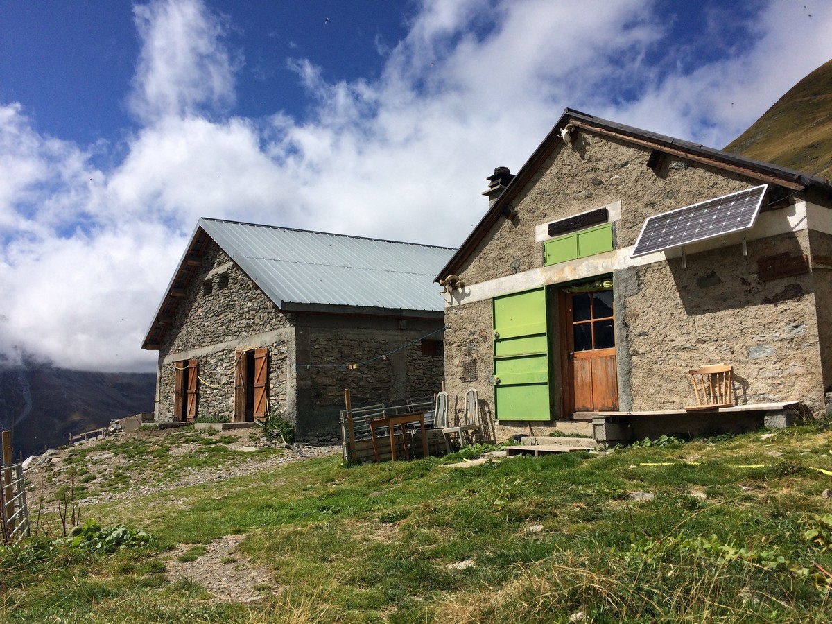
Refuge du Mont Pourri hike
Difficulty Rating:
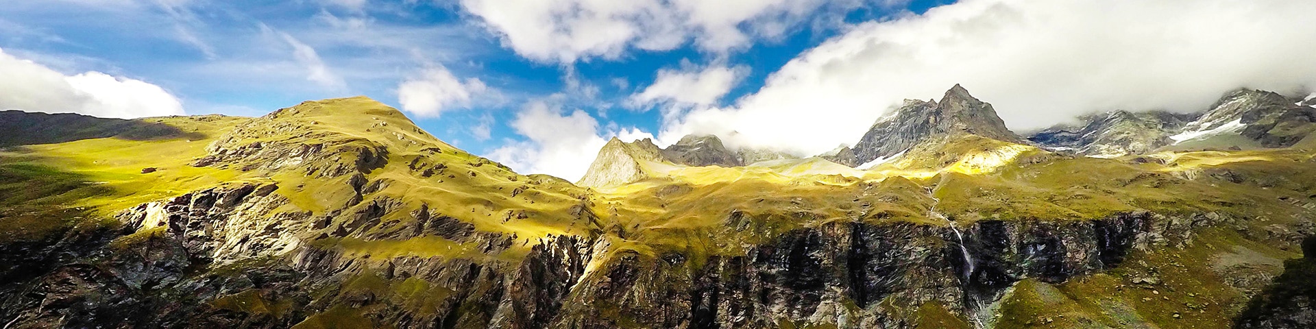
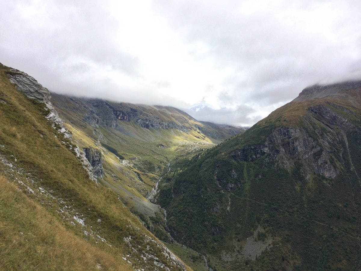
A hike to the Refuge du Mont Pourri will take you among bearded vultures, glaciers, waterfalls, marmots, and a lake. Located near La Plagne and Les Arcs ski areas, you will hike around a large cirque with stunning views, showcasing all that Parc Nationale de la Vanoise has to offer.
Getting there
From the tourism office in Peisey-Nancroix, head south on the D87 for 2.2mi to just past the Restaurant Le Fer à Cheval. There is a parking lot just after the restaurant.

About
| When to do | June - Fall |
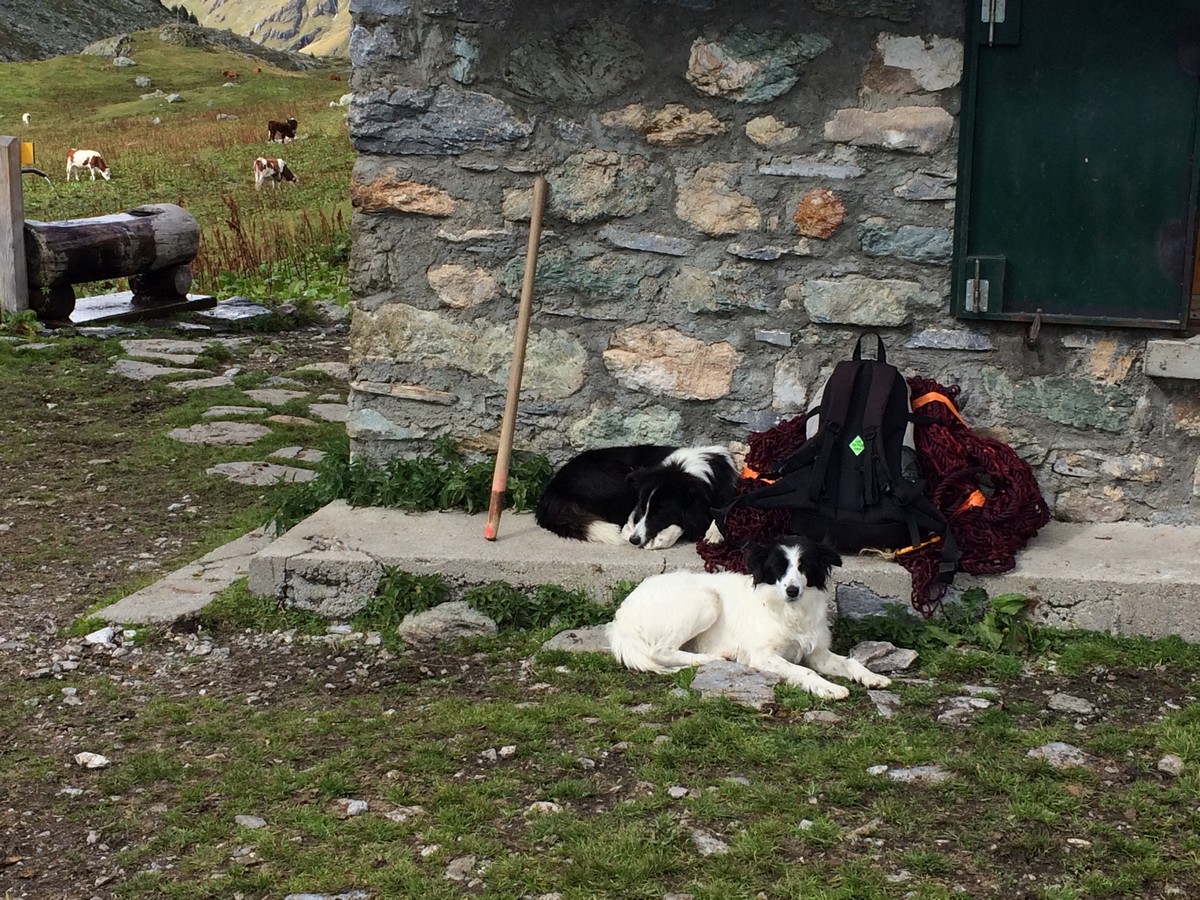
| Backcountry Campsites | Yes, close to refuge |
| Toilets | Yes, at the refuge |
| Family friendly | No |
| Route Signage | Average |
| Crowd Levels | High |
| Route Type | Out and back |
Refuge du Mont Pourri
Elevation Graph
Weather
Route Description for Refuge du Mont Pourri
From the parking lot, unfortunately you will need to walk along the D87 for 1476ft towards the village of Les Lanches. There is a path worn at the side of the road, but be careful about traffic, especially on the bridge crossing Nant Fesson.
At the sign for Les Lanches take the smaller road that goes off to the left, into the village. Follow the road through the village, watching for a bridge on your left. When you see the bridge, cross it and then go left and then go right, following the path up the hill.
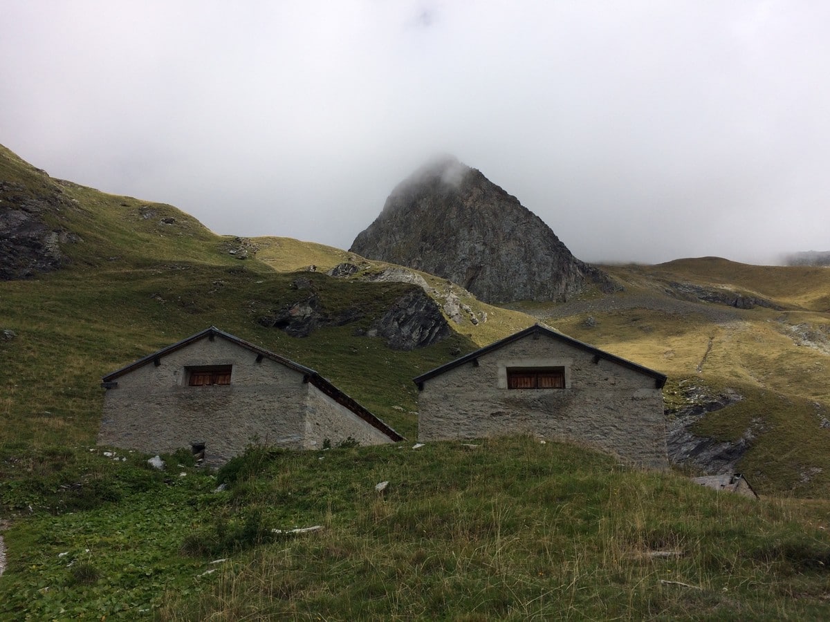
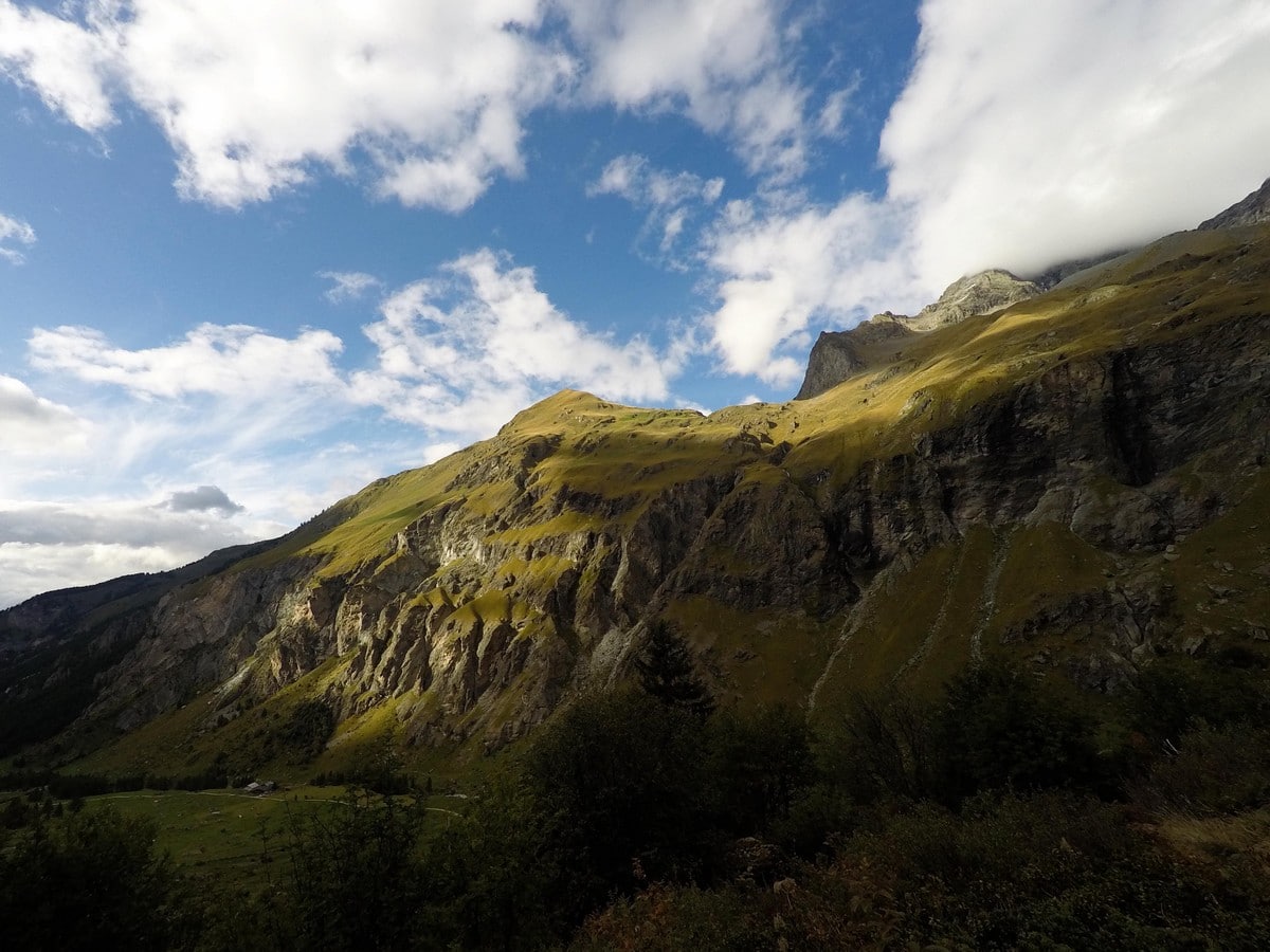
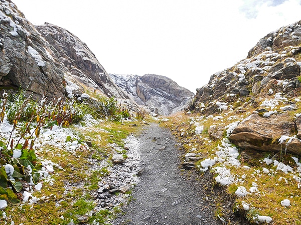
This path immediately goes through the hamlet called Beaupraz, which is only a few homes. Above Beaupraz, follow the sign for Refuge du Mont Pourris. When you come to a T-junction, go right. The trail goes up through a larch forest until the monolith of Cargneule. The odd coloring of the rock is very specific to this site in the Vanoise.
The trail continues going roughly east for a while. It flattens out and passes by the abandoned Chalets des Loyes. From there, the hike continues up to La Sévolière. The path goes over the stream, Nant Crust and continues to the Refuge du Mont Pourri on your left.
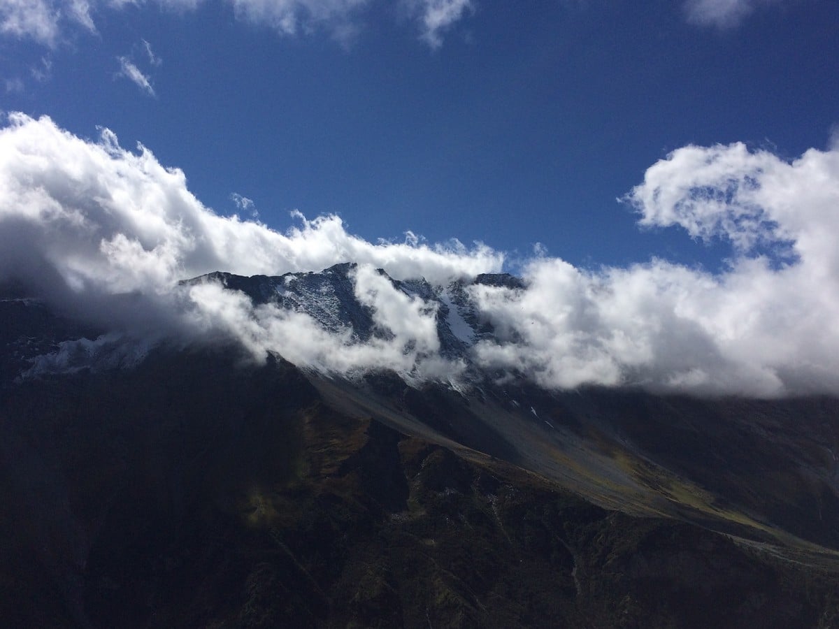
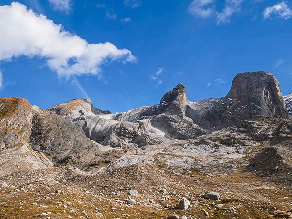
From the refuge you can enjoy the panoramic views of the mountains and the valley. The refuge is dominated by the 12398ft Mont Pourri, the third highest summit in Savoie.
Hike back from the refuge the way you came.
Insider Hints
Choose a day without clouds in order to be able to admire the glaciers on the summits around you.
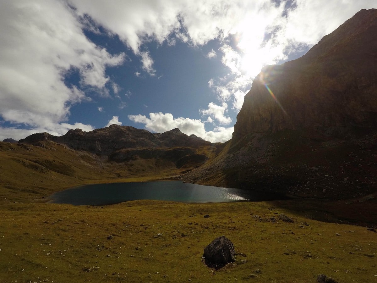
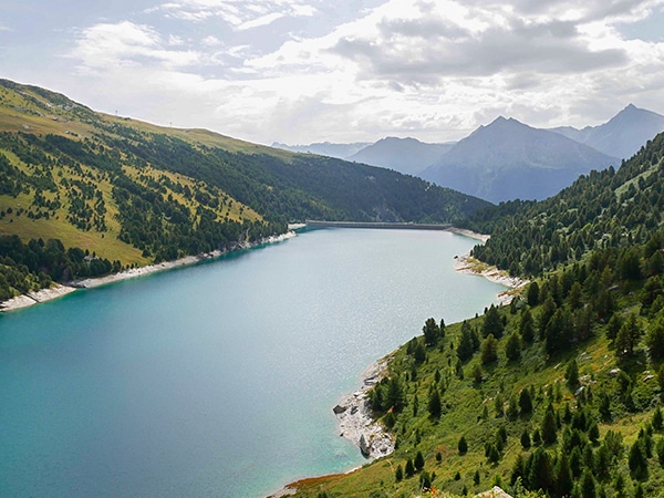
There are two ways to extend your hike if you want to try an alternative return:At the Refuge, you can see a lake in the background of the cirque, it is Lac de la Plagne. Follow the signs towards this lake. The path will meander along the mountainside. After a bridge over a waterfall there will be a sign for Les Lanches, follow it to return the start. For a longer trip, follow the signs to the lake, however instead of turning at Les Lanches, continue towards the lake. After a small ascent you will arrive at Plan de la Plagne. From here, follow the signs for Refuge de Rosuel to return. Once past the Refuge, cross the parking lot and take the path which first crosses the river and then follows it until Les Lanches. (We recommend starting the hike in the morning if you are going to take this option because the hike will be quite long). The hike from Refuge du Mont Pourri Lac de la Plagne is roughly 3.7mi and the hike to Refuge Rosuel is just over 6km. Refuge Rosuel to your car is roughly 1.4mi.
Keep your eyes open: a couple of bearded vultures live here, if you are lucky you may see them!
You could also do this starting and ending at Refuge Rosuel, a pleasant Refuge.

Similar hikes to the Refuge du Mont Pourri hike
Col d’Aussois & Pointe de l’Observatoire
The Col D’Aussois hike is a wonderfully long hike, a true classic hike of the Vanoise. This hike takes you…
Lac des Vaches and Col de la Vanoise
A hike to the Lac des Vaches and then up to the Col de la Vanoise is a stunning hike…
Refuge du Fond des Fours
A hike to the Refuge du Fond des Fours is a perfect family hike in Vanoise National Park. Close to…
Kenneth D. 4 years ago
It was nice to see how people who live here utilize solar energy for their use.
Karina M. 4 years ago
It is one of those places that makes you feel at peace. It is a great retreat!
Matilda86 4 years ago
The fantastic mountain scenery on an average-altitude plateau
Lorde P. 4 years ago
There's a lot of vultures here. Peaceful place. Great for photoshoots.
Aiza S. 4 years ago
A hike that will take you to bearded vultures, glaciers, waterfalls, marmots. Enjoyed every bit of it.
Slavka Pochodi 4 years ago
Wonderful hike from Peisey-Nancroix with great views of the mountains and the valley
Felix Legrand 4 years ago
Day hike with a picnic break at the Refuge and the views are magnificent
Vincent V. 4 years ago
Stunning views! I love the unique terrain of this hike! I was lucky enough to spot some rare vultures! I'm grateful about it!
Lena H. 5 years ago
Beautiful hike, just a few mins walk and you'll find impressive views.
Ariel R. 5 years ago
It's a great hike with not much extreme highs of lows. It's perfect and I enjoyed it a lot.