Watson Falls Hike
View Photos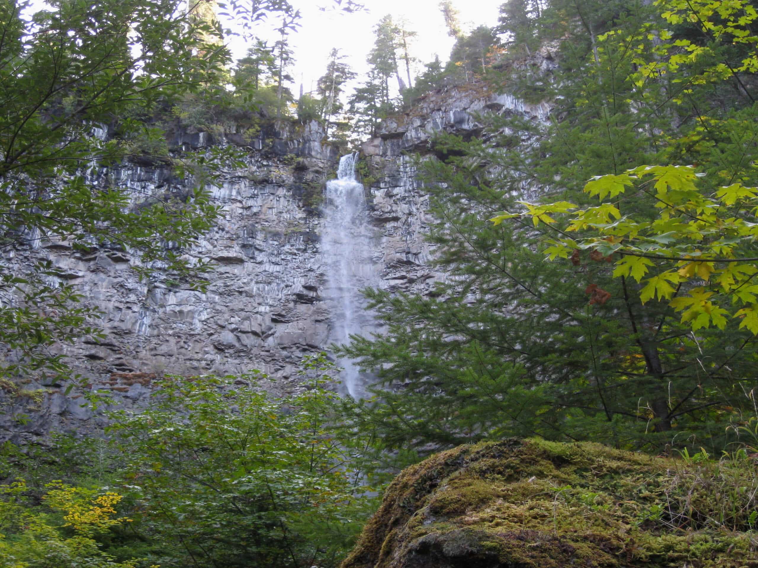
Watson Falls Hike
Difficulty Rating:
The Watson Falls Hike is a quick and easy adventure in Umpqua National Forest that will take you to the 3rd tallest waterfall in Oregon. While out on the trail, you will make your way along a scenic woodland path, traversing the creekside terrain on the way to several viewpoints that look out onto the 272ft tall Watson Falls. Hikers should take note that this is an extremely busy trail, so if you would like to experience lower volumes of foot traffic and easily secure parking, be sure to arrive earlier in the day.
Getting there
The trailhead for the Watson Falls Hike can be found at the Watson Falls Picnic Ground on Fish Creek Road.

About
| Backcountry Campground | No |
| When to do | April-November |
| Pets allowed | Yes - On Leash |
| Family friendly | Yes |
| Route Signage | Average |
| Crowd Levels | High |
| Route Type | Lollipop |
Watson Falls Hike
Elevation Graph
Weather
Watson Falls Hike Description:
Beautifully scenic with a steady, but short lived uphill climb, the Watson Falls Hike is an extremely popular trail in Oregon; expect a fair amount of visitors along this route. Additionally, you will want to make sure that you wear proper hiking footwear in order to have the best traction along the trail.
While it may be a bit on the busy side, there is no doubt that you will enjoy your time out on the Watson Falls Hike. A wonderful woodland landscape and peaceful creekside atmosphere will guide you to your final destination: the impressive cascade of Watson Falls.
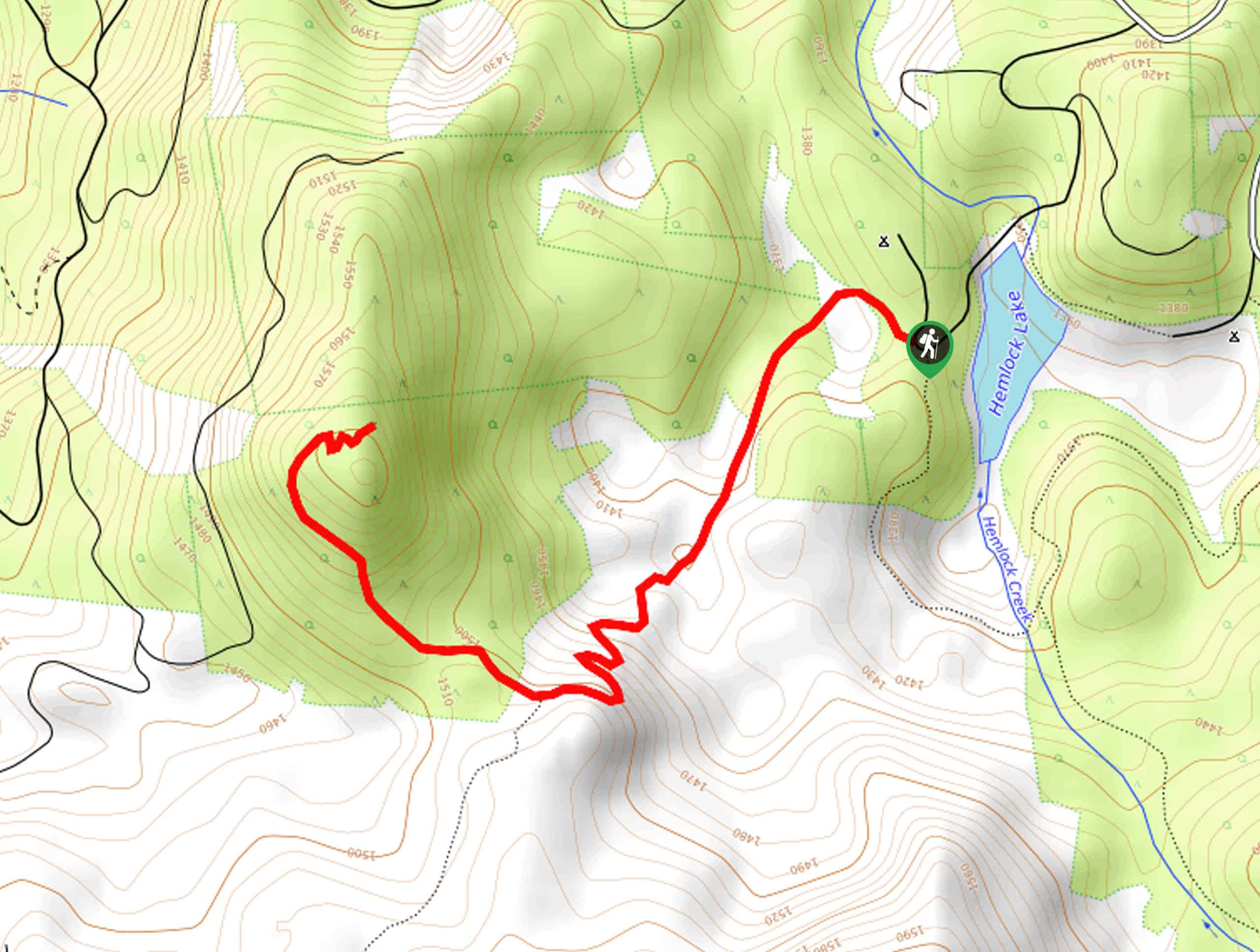
Setting out from the Watson Falls Picnic Grounds, you will make your way to the south through the parking lot, crossing over NF-37/Fish Creek Road in order to pick up the trail on the opposite side. Here, you will enter into the tree cover and continue south, following the trail as it weaves across the banks of Watson Creek several times.
After a short distance, you will come to a junction next to the Lower Watson Falls Viewpoint, where you will have a good view of the bridge ahead and the falls themselves. Keeping left at the junction, you will make your way over the bridge and follow the path southwest to arrive at the Upper Watson Falls Viewpoint. You might get a bit wet here, but the incredible views are worth it!
Heading back along the same trail, you will now turn left at the junction next to the lower viewpoint for an alternate route back to the trailhead. Here, you will descend through the forest until you arrive at the edge of NF-37/Fish Creek Road, following it east for a short distance before breaking off to the left to re-enter the parking area.
Having wrapped up your brief time on the Watson Falls Hike, you can utilize the picnic area to enjoy some leisure time outdoors, or find a nearby trail to explore the area further such as the Toketee Falls Hike.
Trail Highlights
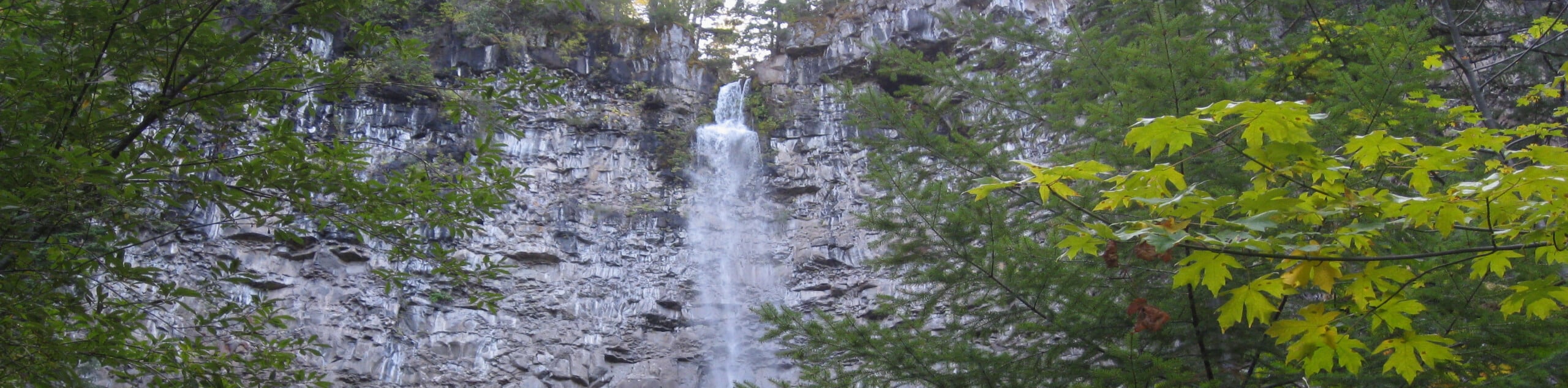
Watson Falls
Featuring a plunge of 272ft, Watson Falls is the third tallest waterfall in the state of Oregon. Situated in the North Umpqua River Valley, the waterfall flows over basalt cliffs set along Watson Creek, a tributary of the Clearwater River.
Frequently Asked Questions
Where is Watson Falls?
Watson Falls can be found in the Southwest corner of Oregon, within the boundary of Umpqua National Forest.
Are dogs permitted at Watson Falls?
Yes, dogs can be brought to Watson Falls, although they should be kept on a leash out of respect for other hikers.
Insider Hints
Although there is a fair amount of parking at the trailhead, try to arrive early as this is a popular route.
Wear comfortable hiking shoes for better footing on the trail.
A vault toilet can be found at the parking area.
Similar hikes to the Watson Falls Hike hike
Flat Rock Trail
The Flat Rock Trail is a beautifully scenic hiking route in Umpqua National Forest that leads through a stretch of…
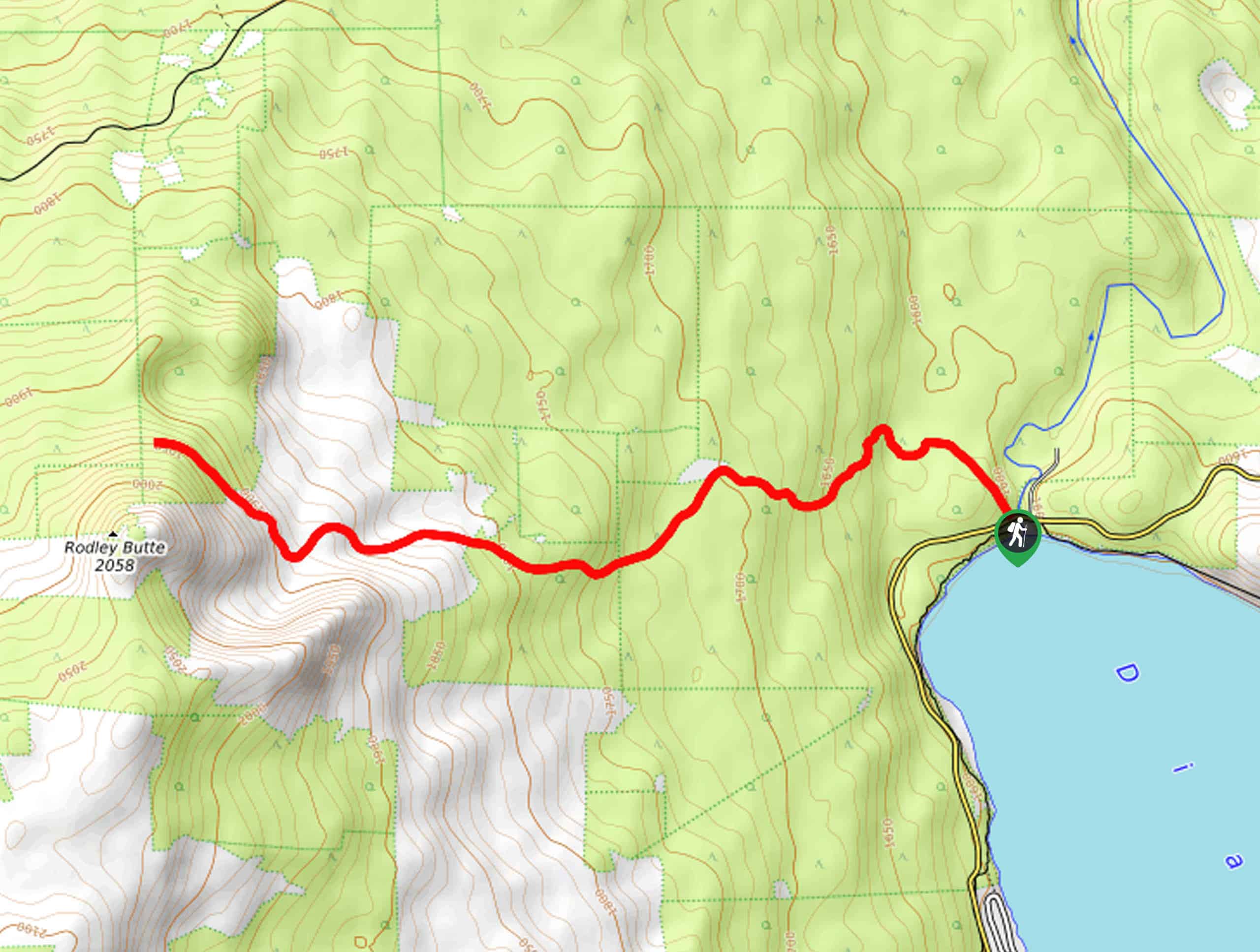
Rodley Butte Trail
Hiking the Rodley Butte Trail is a tough experience in Umpqua National Forest that will take you uphill through a…
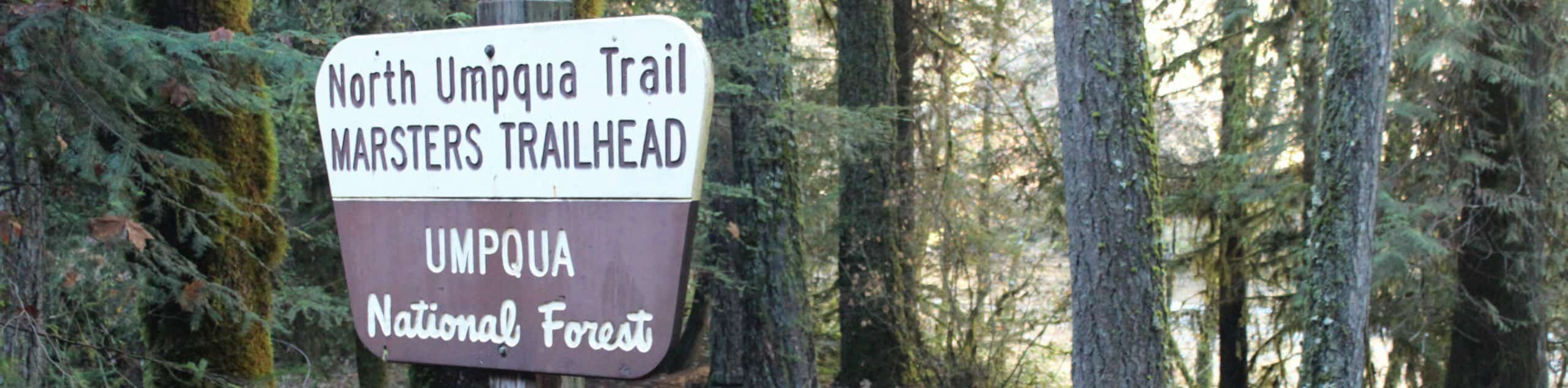
North Umpqua Trail: Marsters Segment
The North Umpqua Trail: Marsters Segment is a short stretch of the much longer North Umpqua Trail that follows along…
Comments