Rujada Campground Hike
View Photos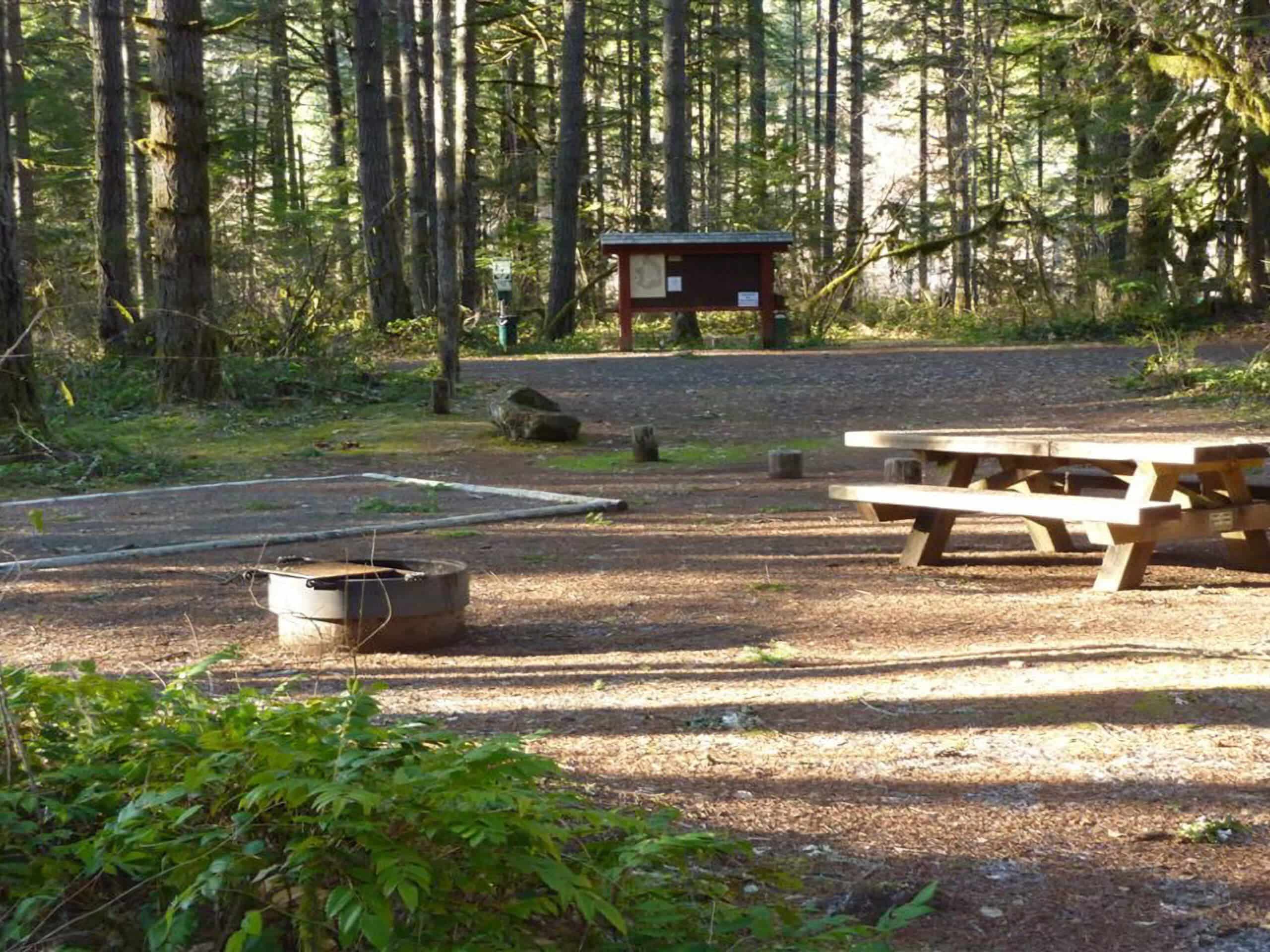
Rujada Campground Hike
Difficulty Rating:
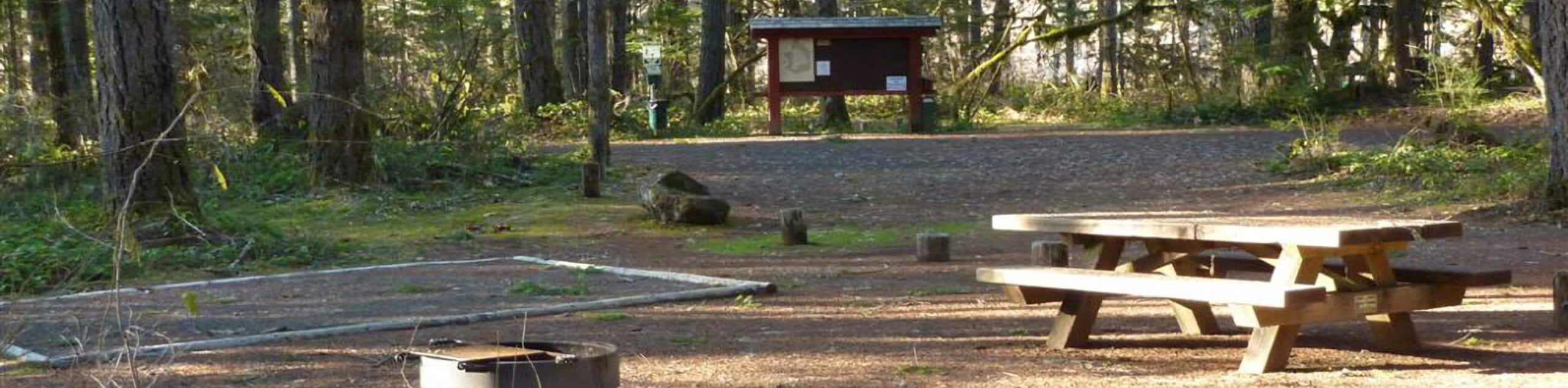
The Rujada Campground Hike is a fun little adventure in the Umpqua National Forest of Oregon that will see you explore the forested banks of Layng Creek. While out on the trail, you will cross over the creek and follow the trail as it loops around the campground, offering the chance to explore the surrounding temperate rainforest landscape. While this is a short adventure, there is a bit of rugged terrain that will need to be traversed through the forest; be sure to wear proper hiking footwear.
Getting there
The trailhead for the Rujada Campground Hike can be found along Layng Creek Road, just west of the Layng Creek Ranger Station.

About
| Backcountry Campground | Rujada Campground |
| When to do | May-November |
| Pets allowed | Yes - On Leash |
| Family friendly | Yes |
| Route Signage | Average |
| Crowd Levels | Moderate |
| Route Type | Lollipop |
Rujada Campground Hike
Elevation Graph
Weather
Rujada Campground Hike Description
Whether you are after a quick and relatively easy day-hike or are planning to spend the weekend camping outdoors, the Rujada Campground Hike is a great trail to explore.
Setting out from the trailhead, you will make your way south across the bridge, keeping right at the fork in order to loop around the campground with Layng Creek on your right. Eventually, the trail will turn east and climb uphill through the serene forest terrain.
Following the path back downhill to the north, you will once again meet up with the banks of the creek, following the water west in order to arrive back at the trailhead where you started.
Similar hikes to the Rujada Campground Hike hike
Flat Rock Trail
The Flat Rock Trail is a beautifully scenic hiking route in Umpqua National Forest that leads through a stretch of…
Rodley Butte Trail
Hiking the Rodley Butte Trail is a tough experience in Umpqua National Forest that will take you uphill through a…
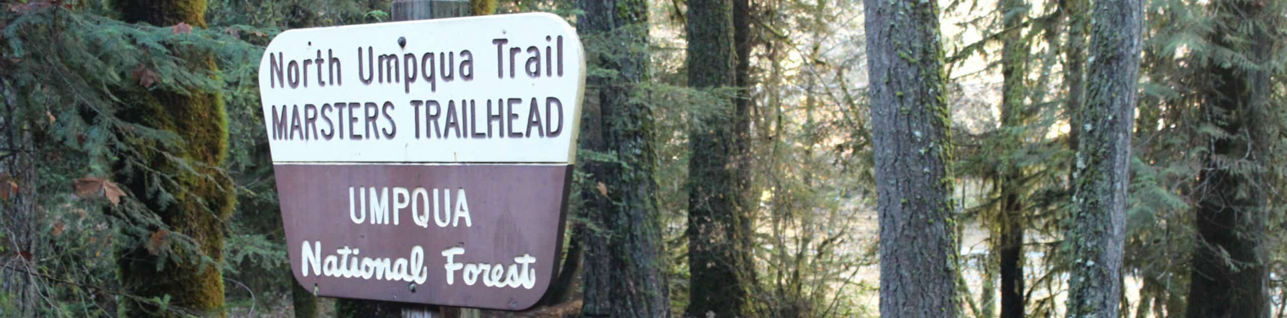
North Umpqua Trail: Marsters Segment
The North Umpqua Trail: Marsters Segment is a short stretch of the much longer North Umpqua Trail that follows along…
Comments