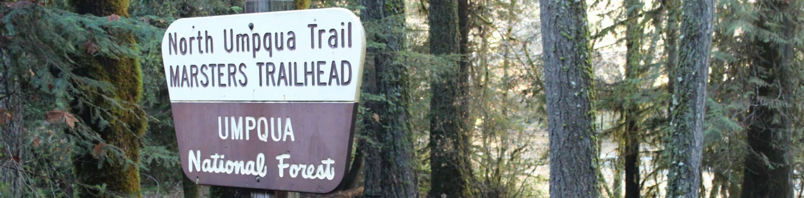
North Umpqua Trail: Swiftwater and Tioga Segment
View Photos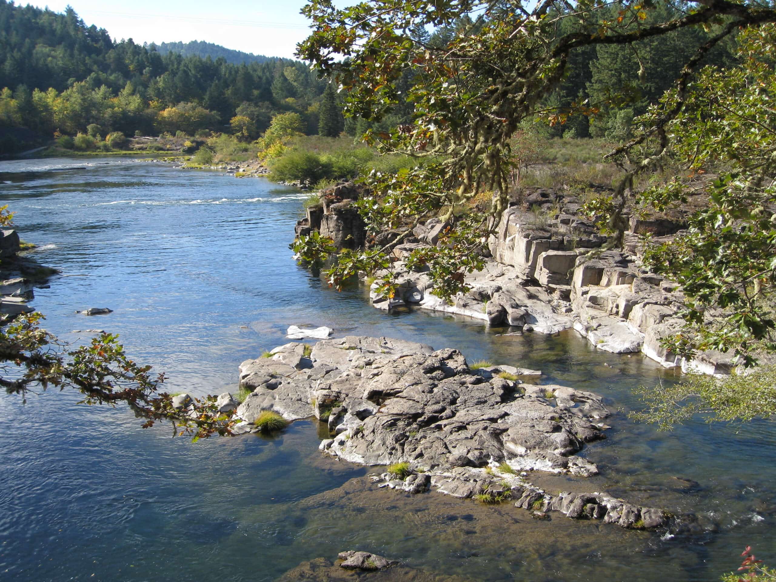
North Umpqua Trail: Swiftwater and Tioga Segment
Difficulty Rating:
The North Umpqua Trail: Swiftwater and Tioga Segment is a lengthy hiking route in Oregon that makes up a part of the 79.0mi long North Umpqua Trail. While out hiking this route, you will follow along the rushing waters of the North Umpqua River, enjoying views of cascading waterfalls and pristine forests in the process. As this is a one-way route, you will need to either plan on camping along the trail or arrange a pick up at the trail’s end.
Getting there
The starting point for this hike can be found at the Swiftwater Trailhead, just off the North Umpqua Highway at Swiftwater Park.

About
| Backcountry Campground | No |
| When to do | April-October |
| Pets allowed | Yes - On Leash |
| Family friendly | No |
| Route Signage | Average |
| Crowd Levels | Moderate |
| Route Type | One Way |
North Umpqua Trail: Swiftwater and Tioga Segment
Elevation Graph
Weather
North Umpqua Trail: Swiftwater and Tioga Segment Route Description
Whether you are after an extended day hike or have your sights on completing the entire length of the North Umpqua Trail, the North Umpqua Trail: Swiftwater and Tioga Segment is a challenging route that showcases the natural beauty of the Pacific Northwest.
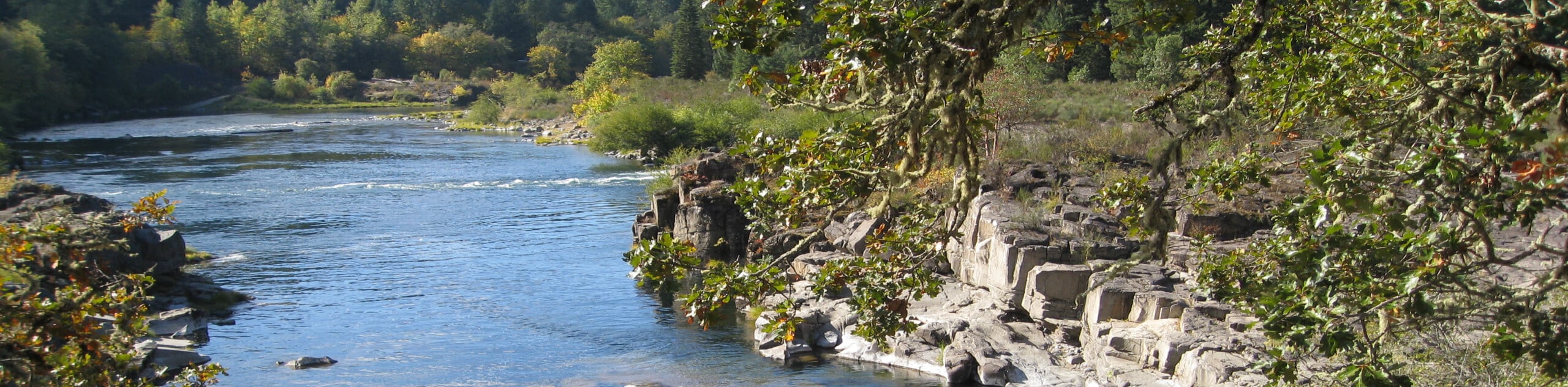
Setting out from the Swiftwater Trailhead, you will make your way to the southeast through the forest, passing by Deadline Falls as you travel through the forest along the banks of the North Umpqua River. There aren’t many intersecting trails here, so just keep straight and you should have no problems in terms of navigation.
After skirting around Bob Butte, you will descend slightly and cross over Bob Creek, before continuing on to the east. Keeping the river on your left, you will traverse the forest landscape, crossing over Fox Creek and Thunder Creek before arriving at the end point of the route.
Similar hikes to the North Umpqua Trail: Swiftwater and Tioga Segment hike
Flat Rock Trail
The Flat Rock Trail is a beautifully scenic hiking route in Umpqua National Forest that leads through a stretch of…
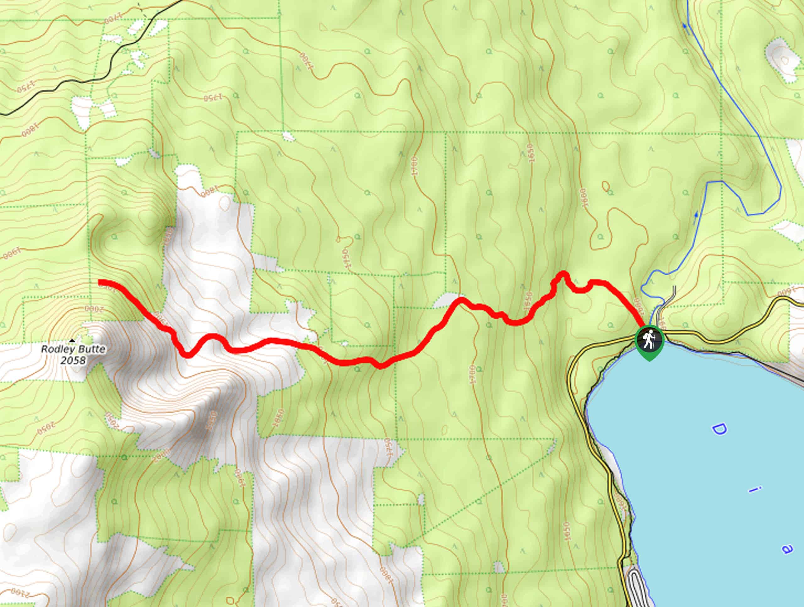
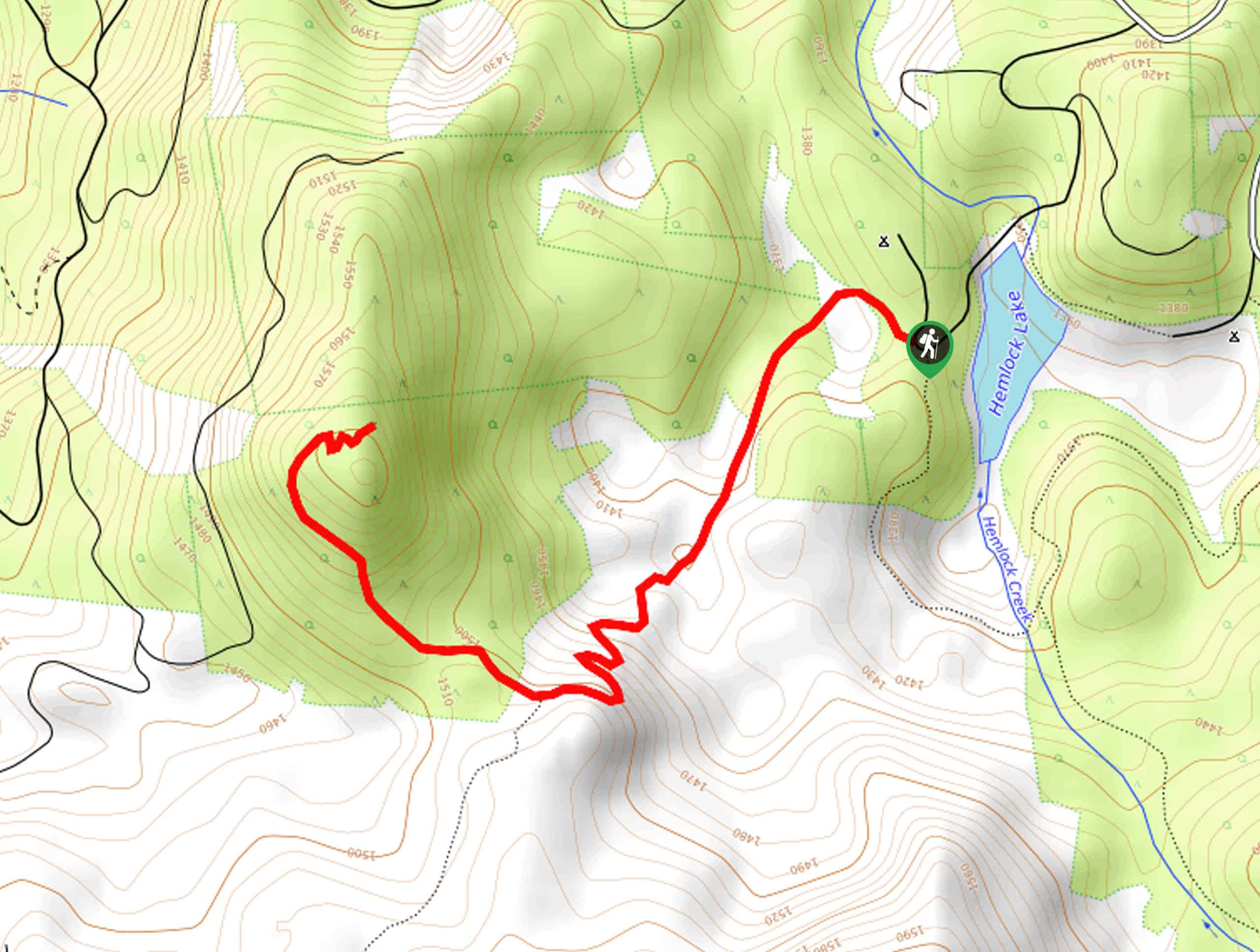
Rodley Butte Trail
Hiking the Rodley Butte Trail is a tough experience in Umpqua National Forest that will take you uphill through a…
North Umpqua Trail: Marsters Segment
The North Umpqua Trail: Marsters Segment is a short stretch of the much longer North Umpqua Trail that follows along…
Comments