
North Umpqua Trail: Mott Segment
View Photos
North Umpqua Trail: Mott Segment
Difficulty Rating:
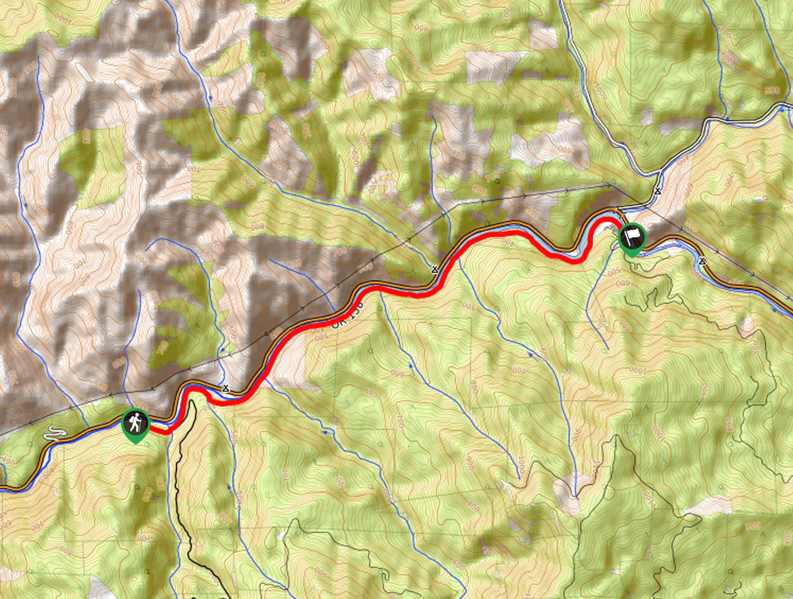
The North Umpqua Trail: Mott Segment is a beautiful stretch of the 79.0mi long North Umpqua Trail that will lead you along the edge of a winding river. While out on the trail, you will enjoy quintessential Pacific Northwest scenery, as you hike along the banks of the North Umpqua River and relax in the great outdoors. If you aren’t planning on camping along the trail, be sure to arrange a pick up or plan for a return hike, as this is a one way trail.
This trail is currently closed due to wildfire damage. Please visit the Forest Service website for more information.
Getting there
The trailhead for this hike can be found at the junction between the North Umpqua Highway and Wright Creek Road.

About
| Backcountry Campground | Bogus Creek Campground, Canton Creek Campground |
| When to do | May-October |
| Pets allowed | Yes - On Leash |
| Family friendly | Yes |
| Route Signage | Average |
| Crowd Levels | Moderate |
| Route Type | One Way |
North Umpqua Trail: Mott Segment
Elevation Graph
Weather
North Umpqua Trail: Mott Segment Route Description
Featuring lovely forest views and little in the way of elevation gain, the North Umpqua Trail: Mott Segment is a fun route to explore if you feel like meandering along the edge of a serene river.
Setting out from the trailhead, you will make your way to the northeast along the North Umpqua Trail, making sure to keep the river on your left. Here, you will enjoy beautiful views across the flowing water to the peaceful forest on the opposite bank.
Eventually, you will reach the endpoint of the route near Steamboat Creek, where you can either wait for your ride, back track along the trail, or continue hiking further along the entirety of the North Umpqua Trail.
Similar hikes to the North Umpqua Trail: Mott Segment hike
Flat Rock Trail
The Flat Rock Trail is a beautifully scenic hiking route in Umpqua National Forest that leads through a stretch of…
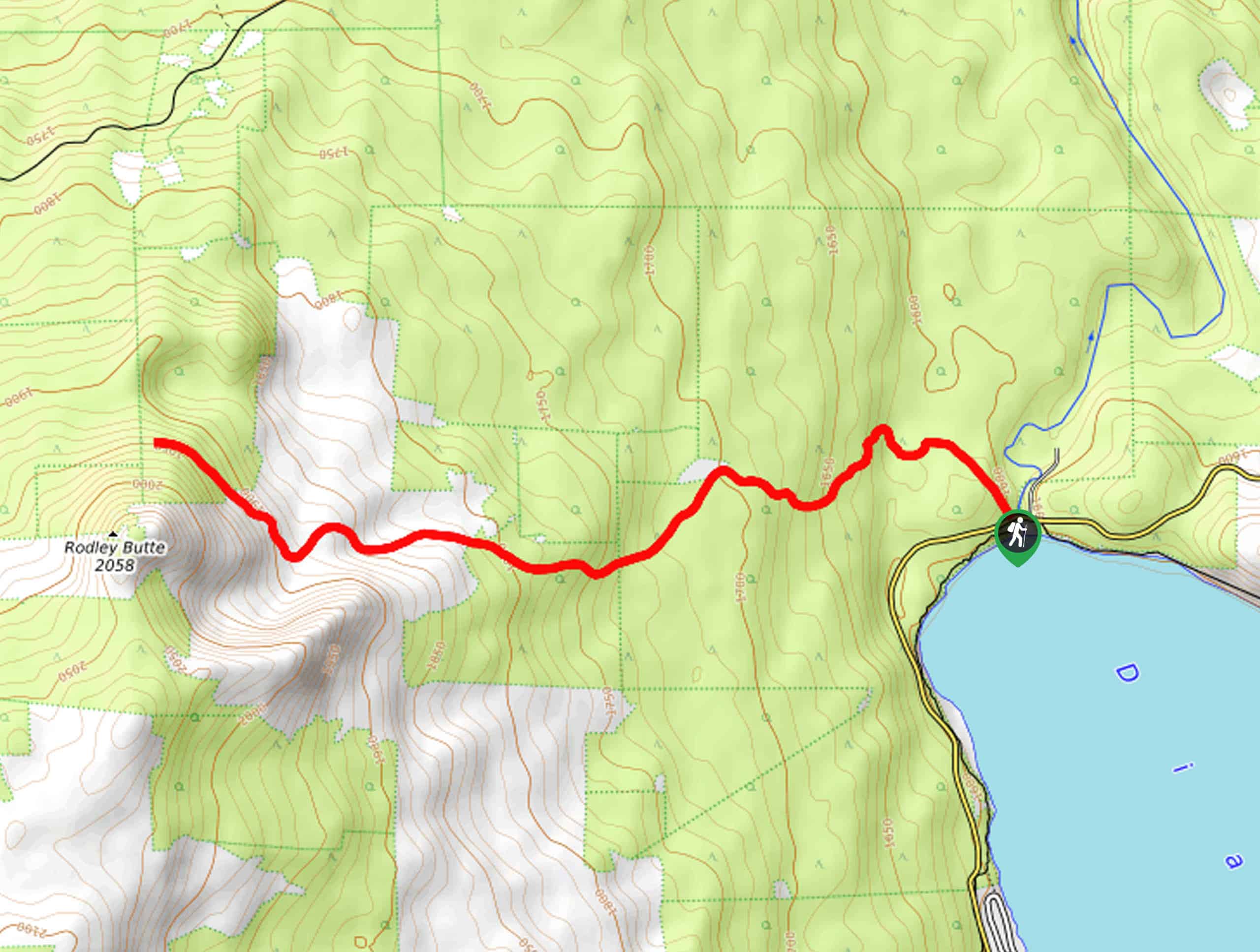
Rodley Butte Trail
Hiking the Rodley Butte Trail is a tough experience in Umpqua National Forest that will take you uphill through a…
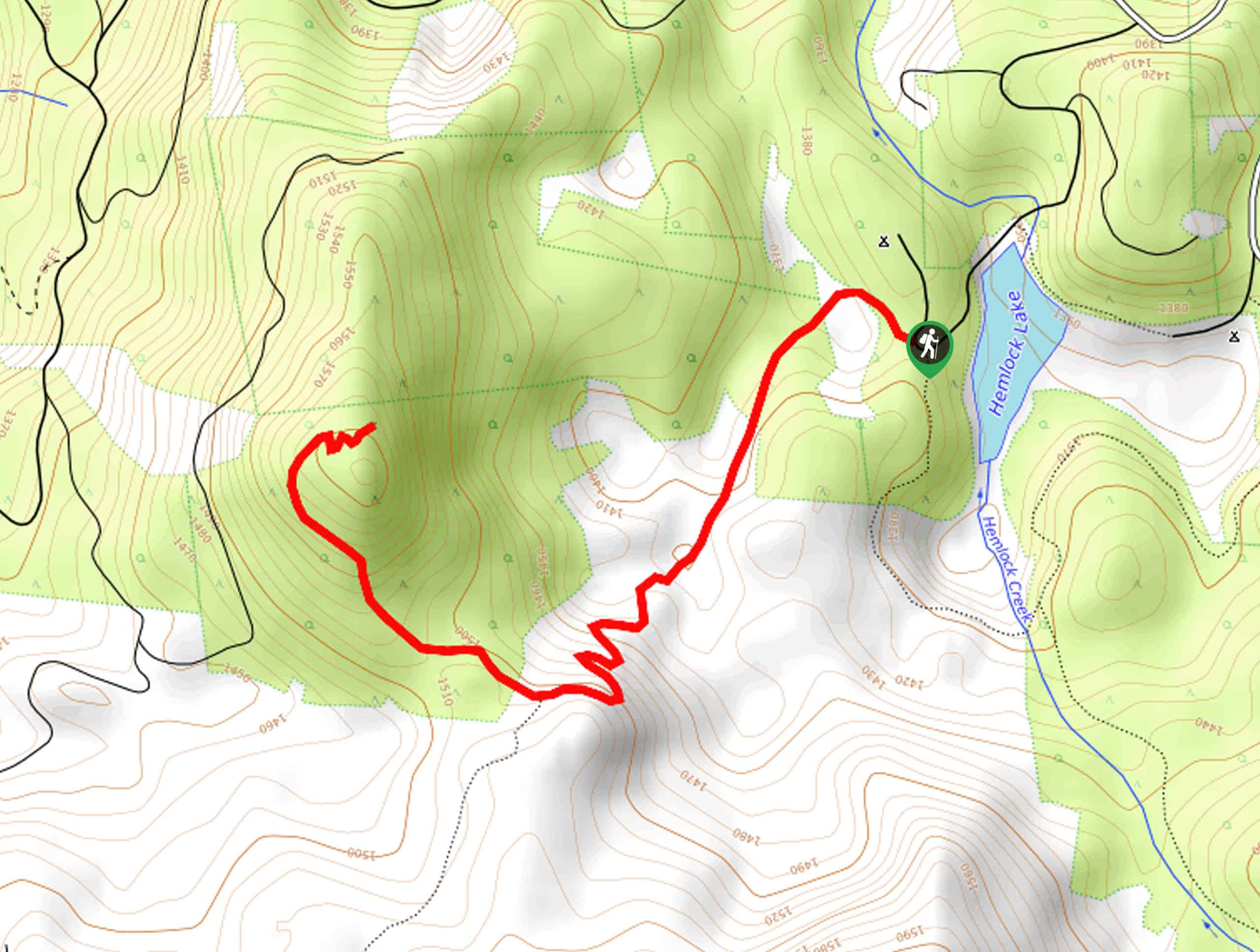
North Umpqua Trail: Marsters Segment
The North Umpqua Trail: Marsters Segment is a short stretch of the much longer North Umpqua Trail that follows along…
Comments