
Clover Falls Trail
View Photos
Clover Falls Trail
Difficulty Rating:
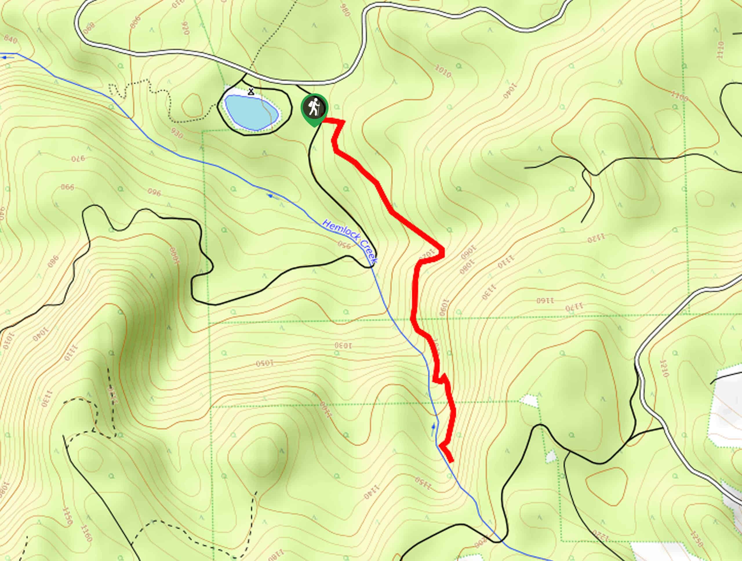
The Clover Falls Trail is a pleasant hiking route in Umpqua National Forest that will take you to a scenic woodland waterfall. While out on the trail, you will meander through the forest alongside Hemlock Creek, enjoying the sights and sounds of the Pacific Northwest on the way to the rushing waters of Clover Falls. This is a fantastic hiking route if you are planning to spend a few days exploring the area while camping at the nearby Lake in the Woods Campground.
Getting there
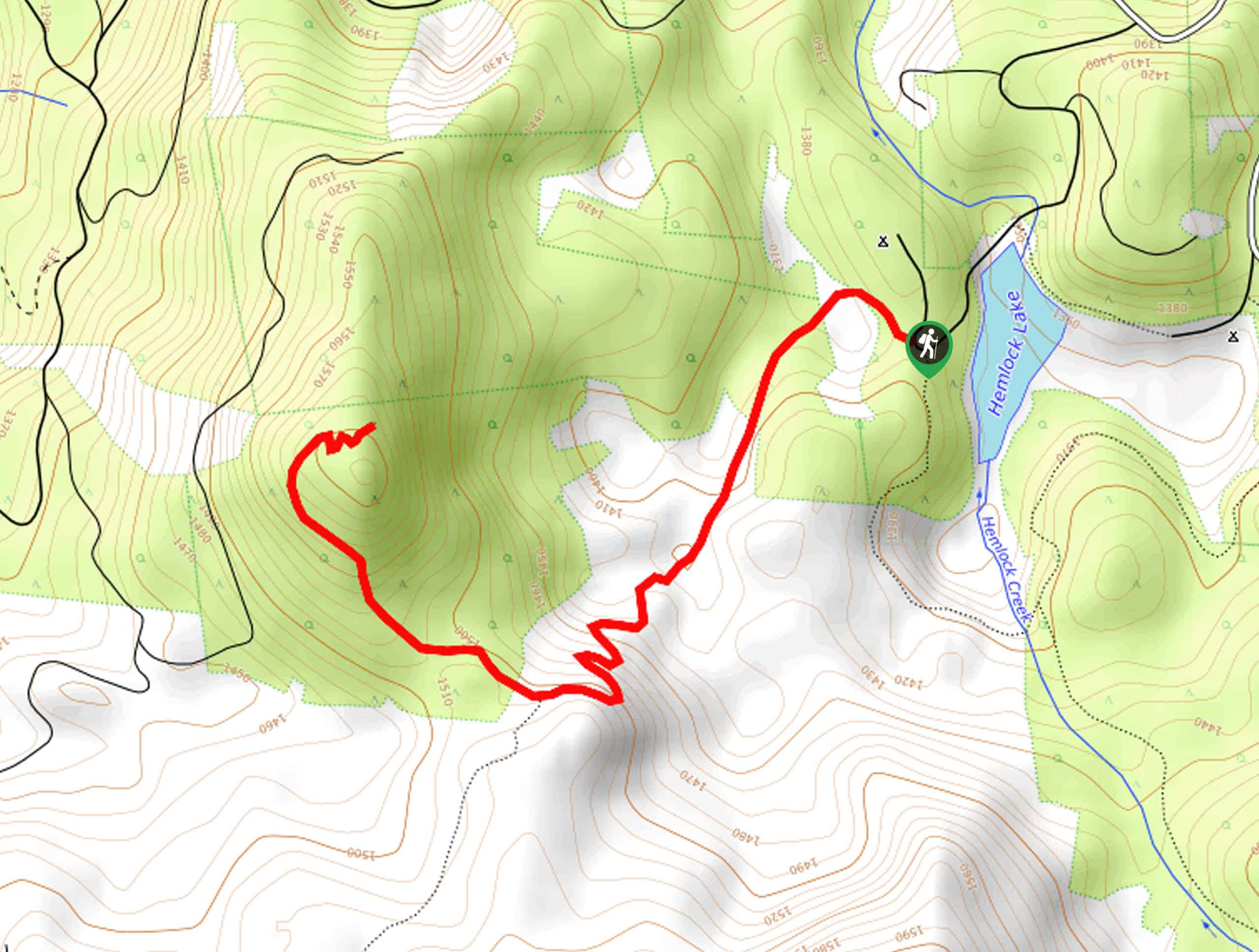
The starting point for the Clover Falls Trail can be found at the Lake in the Woods Campground in Umpqua National Forest.

About
| Backcountry Campground | Lake in the Woods Campground |
| When to do | March-October |
| Pets allowed | Yes - On Leash |
| Family friendly | Yes |
| Route Signage | Average |
| Crowd Levels | Moderate |
| Route Type | Out and back |
Clover Falls Trail
Elevation Graph
Weather
Clover Falls Trail Description
If you enjoy waterfalls and the natural beauty of the forest, then the Clover Falls Trail will be the perfect hiking route for you to explore. If you are camping in the area and want to explore nearby trails, be sure to check out our guides for the Hemlock Falls Trail and the Yakso Falls Hike.
Setting out from the trailhead at the Lake in the Woods Campground, you will make your way to the southeast along the Clover Falls Trail. Here, you will enjoy the peaceful forest setting, as you hike alongside the waters of Hemlock Creek.
Eventually, you will arrive at the site of Clover falls, where you can take in the natural beauty of the cascade and relax amongst nature. After spending some time in the area, turn back and retrace your steps along the same path to return to the trailhead.
Similar hikes to the Clover Falls Trail hike
Flat Rock Trail
The Flat Rock Trail is a beautifully scenic hiking route in Umpqua National Forest that leads through a stretch of…
Rodley Butte Trail
Hiking the Rodley Butte Trail is a tough experience in Umpqua National Forest that will take you uphill through a…
North Umpqua Trail: Marsters Segment
The North Umpqua Trail: Marsters Segment is a short stretch of the much longer North Umpqua Trail that follows along…
Comments