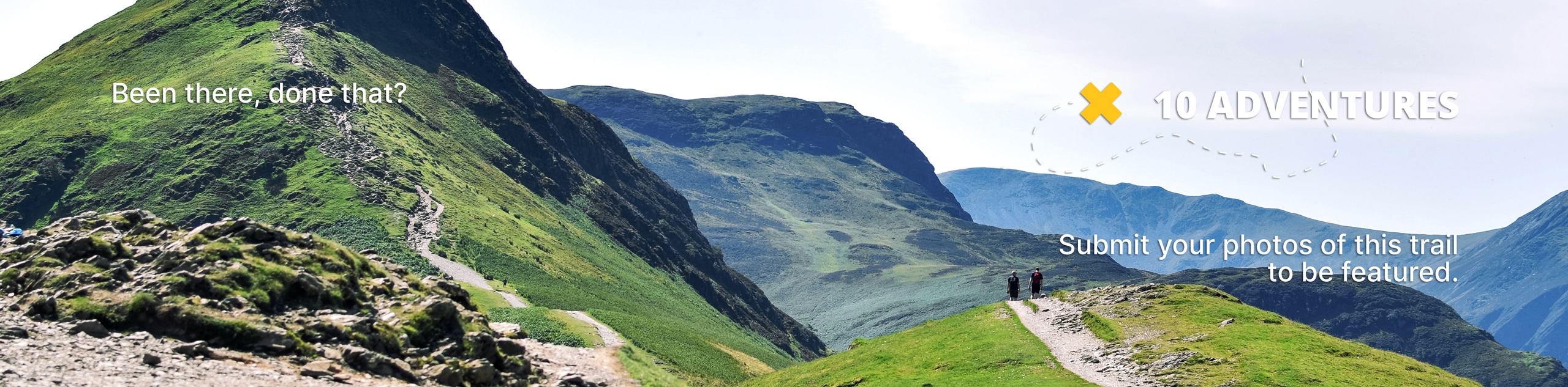
Shingle Creek Trail
View Photos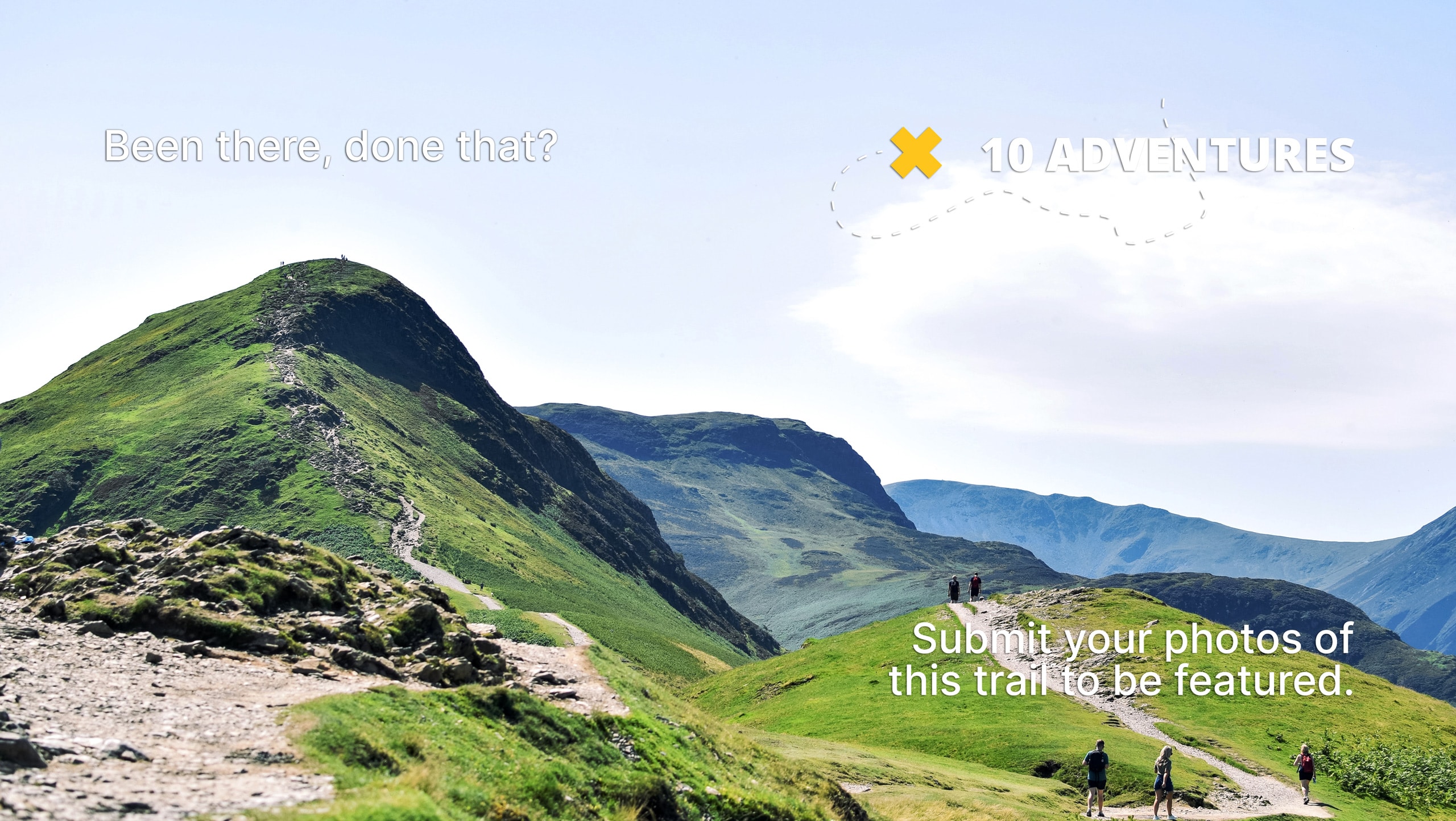
Shingle Creek Trail
Difficulty Rating:
The Shingle Creek Trail is a gorgeous route in the Western Uintas. This trail is a great place to go day hiking or overnight backpacking in the summer and snowshoeing in the winter. Dogs are welcome along the Shingle Creek Trail but keep an eye out for horses and forest wildlife who share the path.
Getting there
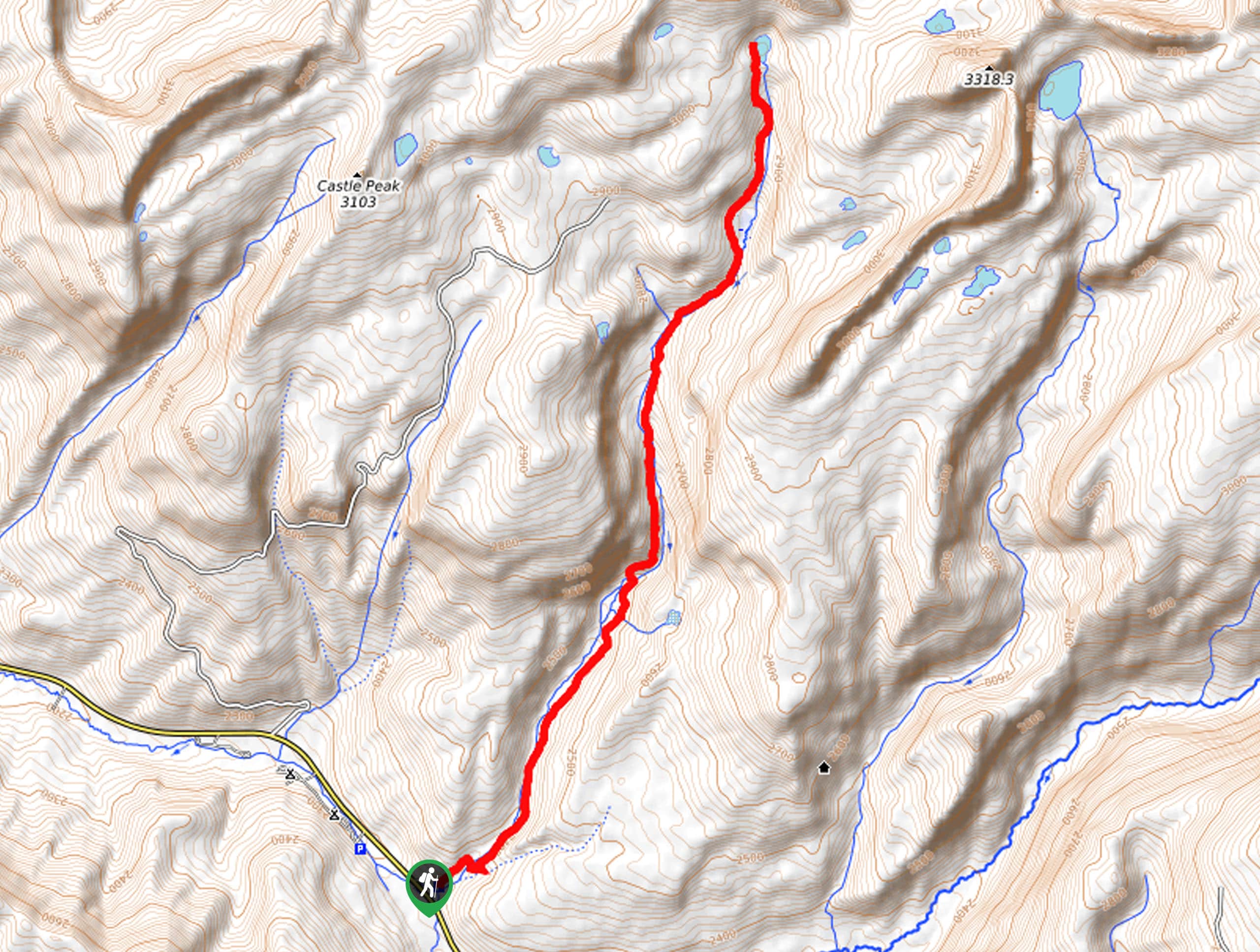
This hike begins at the Shingle Creek Trailhead on the northside of highway 150, approximately 9.8mi east of Kamas, Utah.

About
| Backcountry Campground | Shingle Creek Campground, Camping at Shingle Lake |
| When to do | May to October |
| Pets allowed | Yes |
| Family friendly | Older Children only |
| Route Signage | Average |
| Crowd Levels | Moderate |
| Route Type | Out and back |
Shingle Creek Trail
Elevation Graph
Weather
Shingle Creek Trail Description
The Shingle Creek Trail is a fantastic route just east of Kamas, Utah. In the early summer, this trail can get quite buggy. If you are hiking in late June or early July, be sure to bring bug repellent or wear long layers to deter the mosquitoes. Besides mosquitoes, this trail is a great place to see wildlife such as moose and deer. If you are lucky enough to catch sight of wild critters, do not feed them and give them lots of space; be sure to exercise extra caution around animals if you are hiking with your dog.
The Shingle Creek Trail is a fantastic place to go day hiking, overnight backpacking, or even horseback riding in the summer. This trail is a beautiful snowshoeing route in the winter with peaceful forest views and steady terrain. No matter what time of year you head out, the Shingle Creek Trail is a great place to spend quality time enjoying and appreciating the beauty of the Utah wilderness.
To hike the Shingle Creek Trail, begin at the aptly named Shingle Creek Trailhead on the north side of Highway 150. From the trailhead, follow the path northeast along Shingle Creek to East Shingle Lake.
Take a rest at the lake and cool yourself off in the pristine alpine waters before retracing your steps back to the Shingle Creek Trailhead, where you began.
Insider Hints
This is a long hike, be sure to pack lots of snacks and water to fuel your adventure. We suggest bringing along a method to filter/treat water in case you need to fill up along the trail.
Be sure to pack a camera! This trail is absolutely gorgeous.
If you are looking for another hike in the area, check out the Castle Lake and Castle Peak trails nearby.
Similar hikes to the Shingle Creek Trail hike

Willard Creek Waterfall Trail
The Willard Creek Trail is an adventurous yet beautiful hike on the eastern edge of Willard, Utah. This trail is…

Skull Crack Trail
Despite the foreboding name, the Skull Crack Trail is a fantastic hike in the Uinta-Wasatch-Cache National Forest. This trail follows…

Box Elder Creek Trail
The Box Elder Creek Trail is a lovely hike northeast of Salt Lake City. This trail is used by both…
Comments