Naturalist Basin hike
View Photos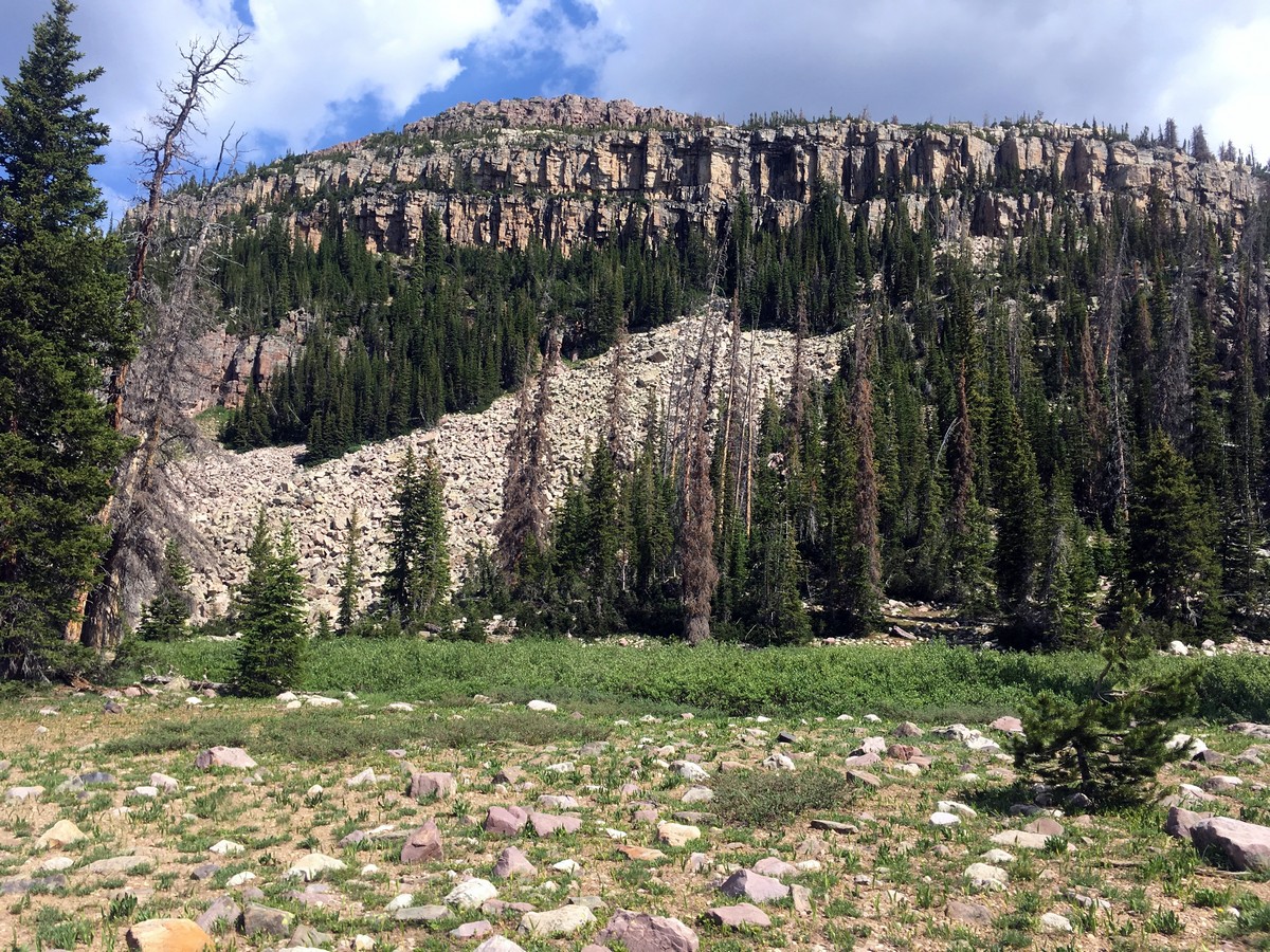
Naturalist Basin hike
Difficulty Rating:
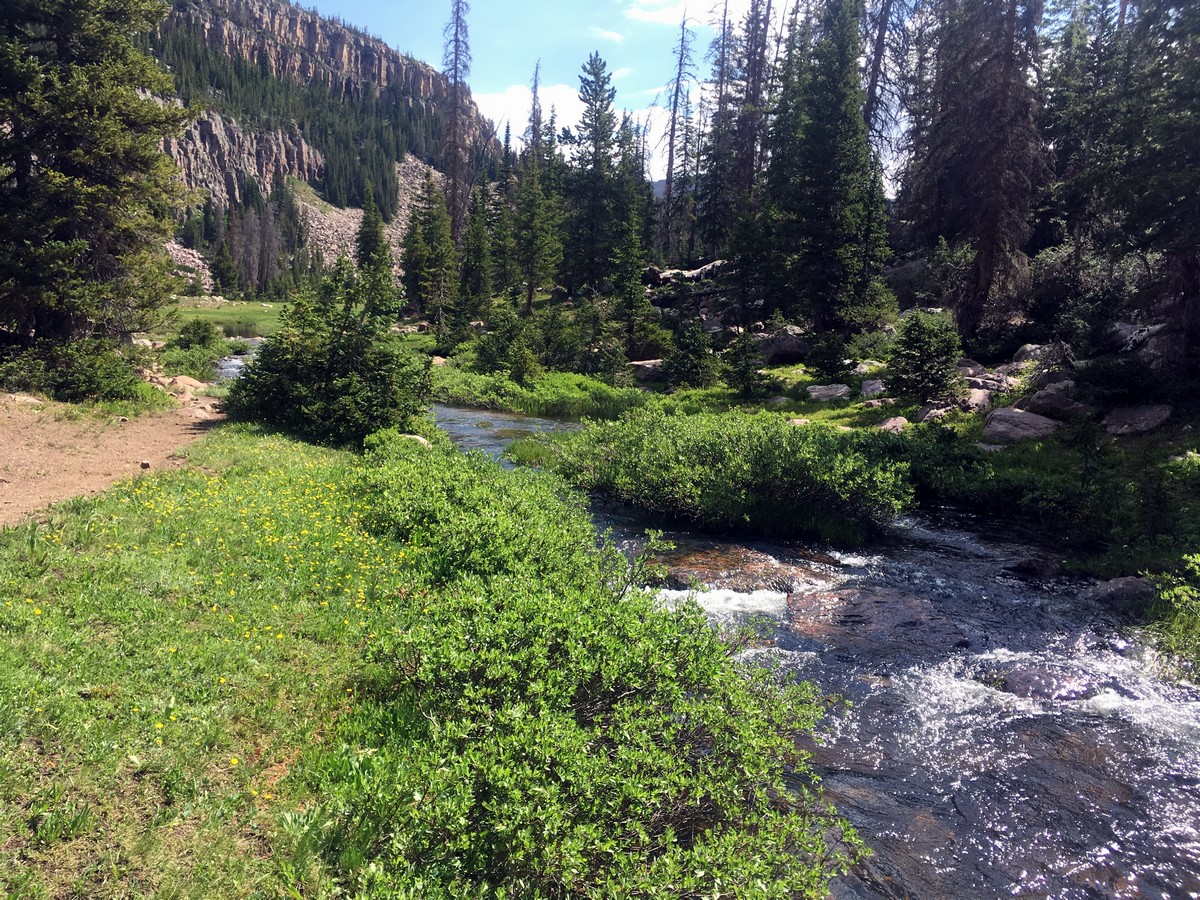
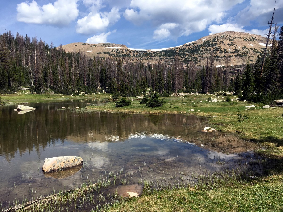
Following the famous 104.0mi Highline Trail, the hike out to Naturalist Basin is a real gem. Though much of the trail is - somewhat surprisingly - below the tree line, the ambiance of your final destination is truly incredible, a serenity like no other.
Getting there
From Kamas head along Utah 150 for 34.0mi. After passing over Bald Mountain Pass and Pass Lake, turn right at the Highline Trailhead directly on the top of Hayden Pass, where you can park.

About
| When to do | Late June through September |
| Backcountry Campsites | Numerous opportunities along Highline Trail |
| Toilets | Yes, at trailhead |
| Family friendly | No |
| Route Signage | Average |
| Crowd Levels | Low |
| Route Type | Out and back |
Naturalist Basin
Elevation Graph
Weather
Route Description for Naturalist Basin
The Highline Trail is an impressive 104.0mi trek that crosses most of the High Uintas Wilderness. You will follow this trail for much of your hike, before taking a detour at approximately the 5.0mi mark.
After beginning the trail near the restrooms, the trail will descend a short ways. Soon you will enter into the official Uintas Wilderness. A sign will outline the rules for camping in the backcountry here.
The entire trail gently undulates up and down, but never has any sustained climbing or descending. After a fair amount of hiking you will pass the turnoff for Packard Lake, another hike in this list! Continue heading along the Highline Trail until you reach a more major junction. At that junction, turn left towards Naturalist Basin.
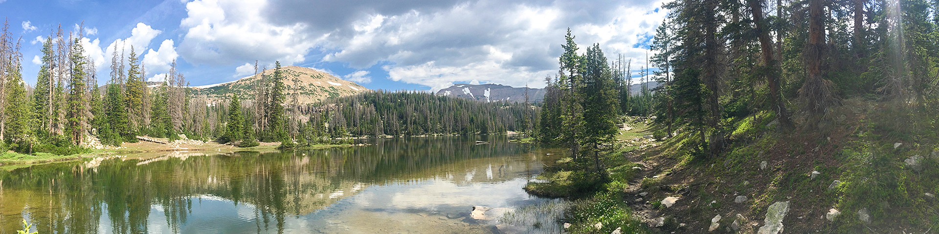
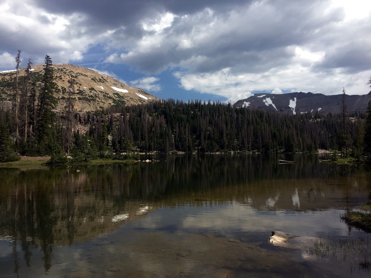
Here the trail will actually gain a more substantial amount of elevation. It’ll all be worth it though because soon you’ll pass the gamut of alpine lakes! You will pass Verrill Lake, as you continue (turning right at the junction) you will pass Gatman Lake, Evermann Lake and finally your final destination: Jordan Lake.
From this stunning alpine lake the cliffy northeast ridge of Mount Agassiz will take up your entire field of view. Enjoy the stunning and secluded ambiance before returning the way you came.
Find more great hikes in the Uinta Mountains:
Insider Hints
Many backpacking opportunities exist along this trail! You could even complete the entire Highline trail if you are super adventurous.
A recreation pass is required to park in the National Forest, which can be purchased throughout the park; however, a National Parks Pass is also accepted.

Similar hikes to the Naturalist Basin hike

Willard Creek Waterfall Trail
The Willard Creek Trail is an adventurous yet beautiful hike on the eastern edge of Willard, Utah. This trail is…

Skull Crack Trail
Despite the foreboding name, the Skull Crack Trail is a fantastic hike in the Uinta-Wasatch-Cache National Forest. This trail follows…

Box Elder Creek Trail
The Box Elder Creek Trail is a lovely hike northeast of Salt Lake City. This trail is used by both…
Sammy L. 4 years ago
I did it a long while ago and really loved it
applepanda 5 years ago
Nice hike with great ambiance. Felt great to connect with nature in a serene place like this.
Annie Smith 5 years ago
Naturalist Basin is a great hike, I loved the solitude of it.
Wyatt Thomas 5 years ago
Naturalist Basin was a beautiful hike!