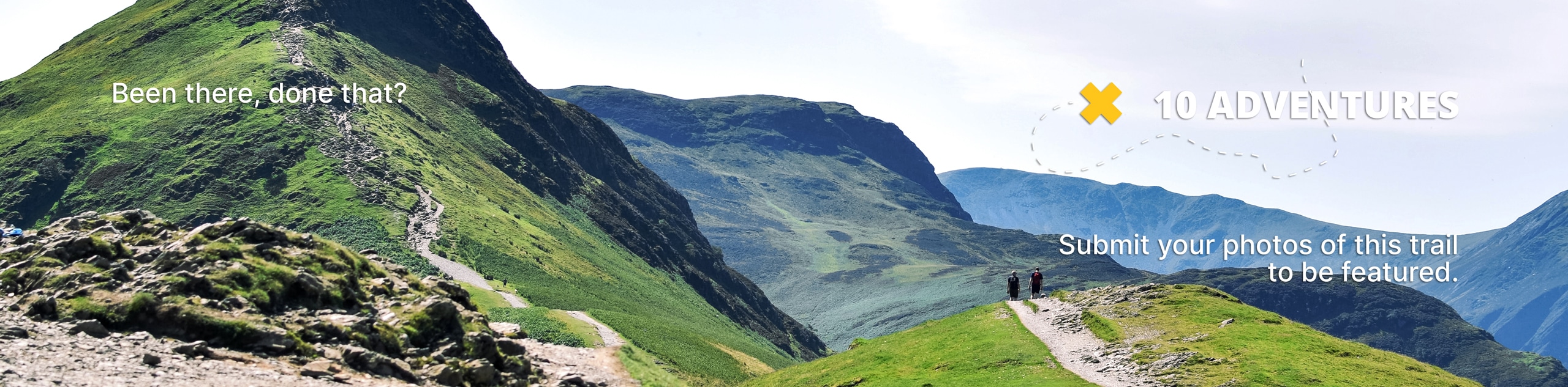
Marjorie Lake Trail
View Photos
Marjorie Lake Trail
Difficulty Rating:
The Marjorie Lake Trail is a gorgeous hike in the western Uintas. This trail is dog-friendly, and a good route for families with older children. The Marjorie Lake Trail passes creeks, lakes, and lush forest before arriving at the secluded and stunning Marjorie Lake.
Getting there
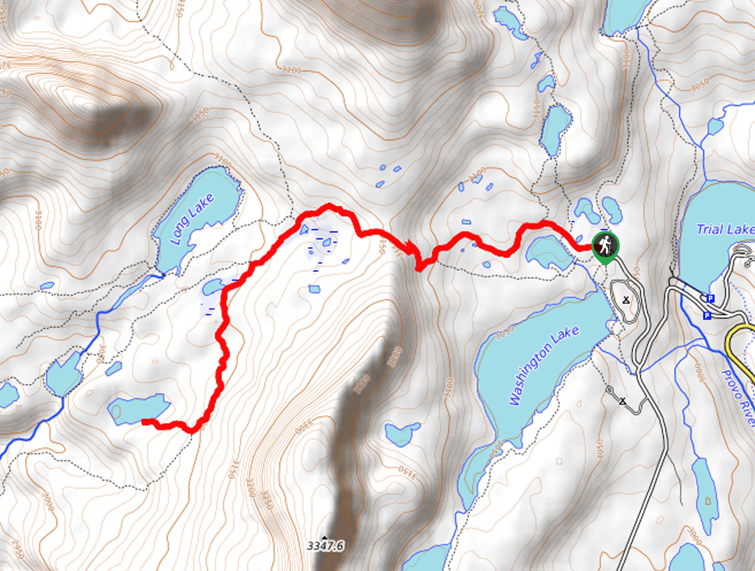
From Kamas, Utah, head east along Highway 150 for 24.6mi then take a left onto Forest Road 041. Continue along FR 041 to a divide, take a right then park at the Crystal Lake Trailhead parking lot just past the Washington Lake Campground. The Marjorie Lake Trail begins here.

About
| Backcountry Campground | Washington Lake Campground |
| When to do | June to October |
| Pets allowed | Yes |
| Family friendly | Older Children only |
| Route Signage | Average |
| Crowd Levels | Moderate |
| Route Type | Out and back |
Marjorie Lake Trail
Elevation Graph
Weather
Marjorie Lake Trail Description
The Marjorie Lake Trail is a fantastic hike in the Western Uintas. This hike shares a trailhead with a series of other popular hikes in the area. We suggest arriving early in the day to snag a parking spot. If you cannot find parking at the trailhead, an overflow lot is approximately a mile down the road. Parking here does add some distance to your trip, but we promise that the Marjorie Lake Trail is worth the extra hike. The Marjorie Lake Trail will take you past a series of lakes and through a beautiful, lush forest to a pristine alpine lake. This trail is very dog-friendly and a great way to spend the day outside, enjoying the beauty of the Utah wilderness with your favorite four-legged friend.
Starting at the Crystal Lake Trailhead, follow Lakes Country Trail 216 west to a divide. Stay left at this divide and left at the subsequent divides to make your way southwest to Marjorie Lake.
Relax on the lakeshore and enjoy the beautiful views at Marjorie Lake. When you are ready to head home, simply retrace your steps back to the Crystal Lake Trailhead, where you began.
Similar hikes to the Marjorie Lake Trail hike

Willard Creek Waterfall Trail
The Willard Creek Trail is an adventurous yet beautiful hike on the eastern edge of Willard, Utah. This trail is…

Skull Crack Trail
Despite the foreboding name, the Skull Crack Trail is a fantastic hike in the Uinta-Wasatch-Cache National Forest. This trail follows…

Box Elder Creek Trail
The Box Elder Creek Trail is a lovely hike northeast of Salt Lake City. This trail is used by both…
Comments