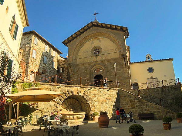
Gaiole Loop hike
View Photos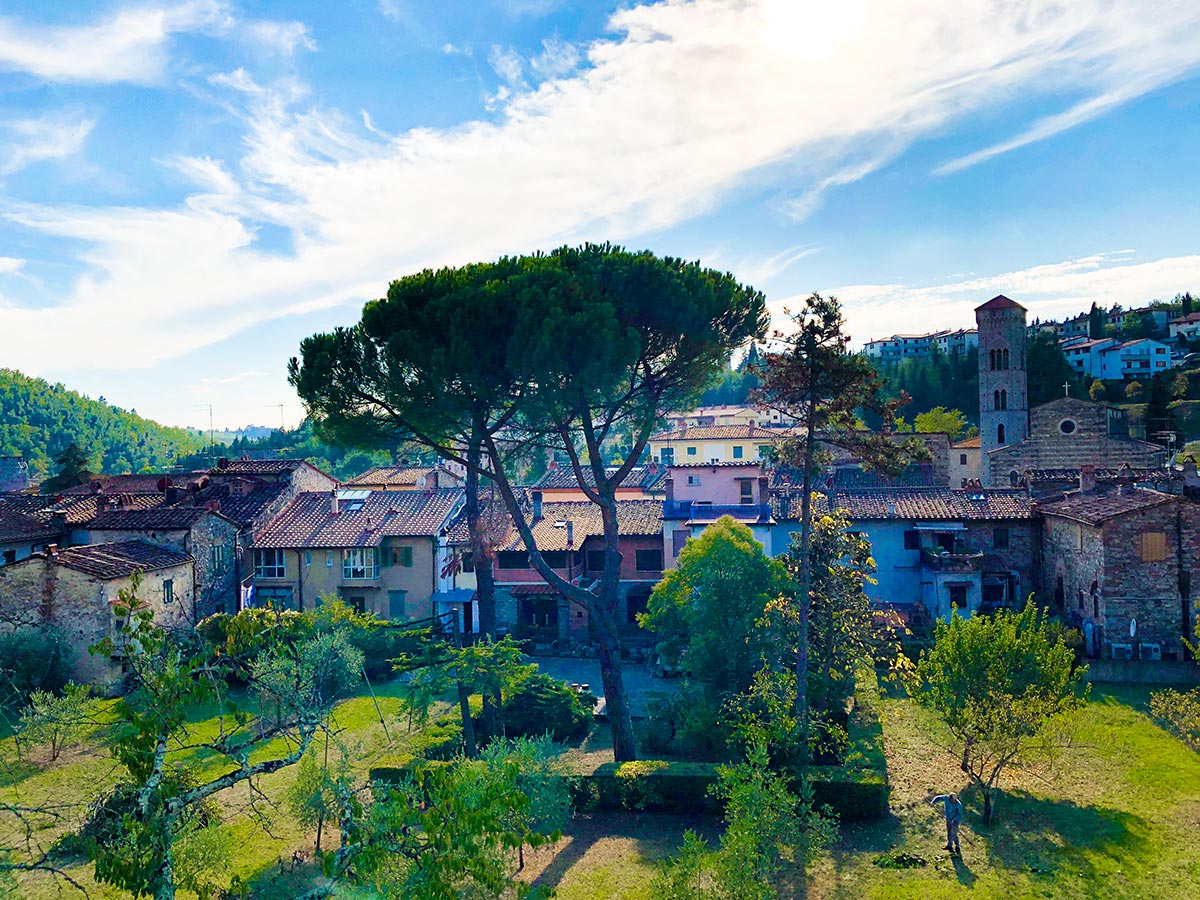
Gaiole Loop hike
Difficulty Rating:
The Gaiole Loop is a popular day hike in Tuscany, easily accessible from Siena. This walk starts with a steep ascent out of Gaiole in Chianti that brings you to the Badia Coltibuono Abbey and then down through the picturesque village of Montegrossi. Descend through cool forests as you make your way back to Gaiole.
Getting there
From Siena, you can either drive to Gaiole or take bus no. 127 going to Gaiole in Chianti.

About
| When to do | May - October |
| Backcountry Campsites | No |
| Pets allowed | Yes - On Leash |
| Family friendly | Older Children only |
| Route Signage | Poor |
| Crowd Levels | Low |
| Route Type | Loop |
Gaiole Loop
Elevation Graph
Weather
Route Description for Gaiole Loop
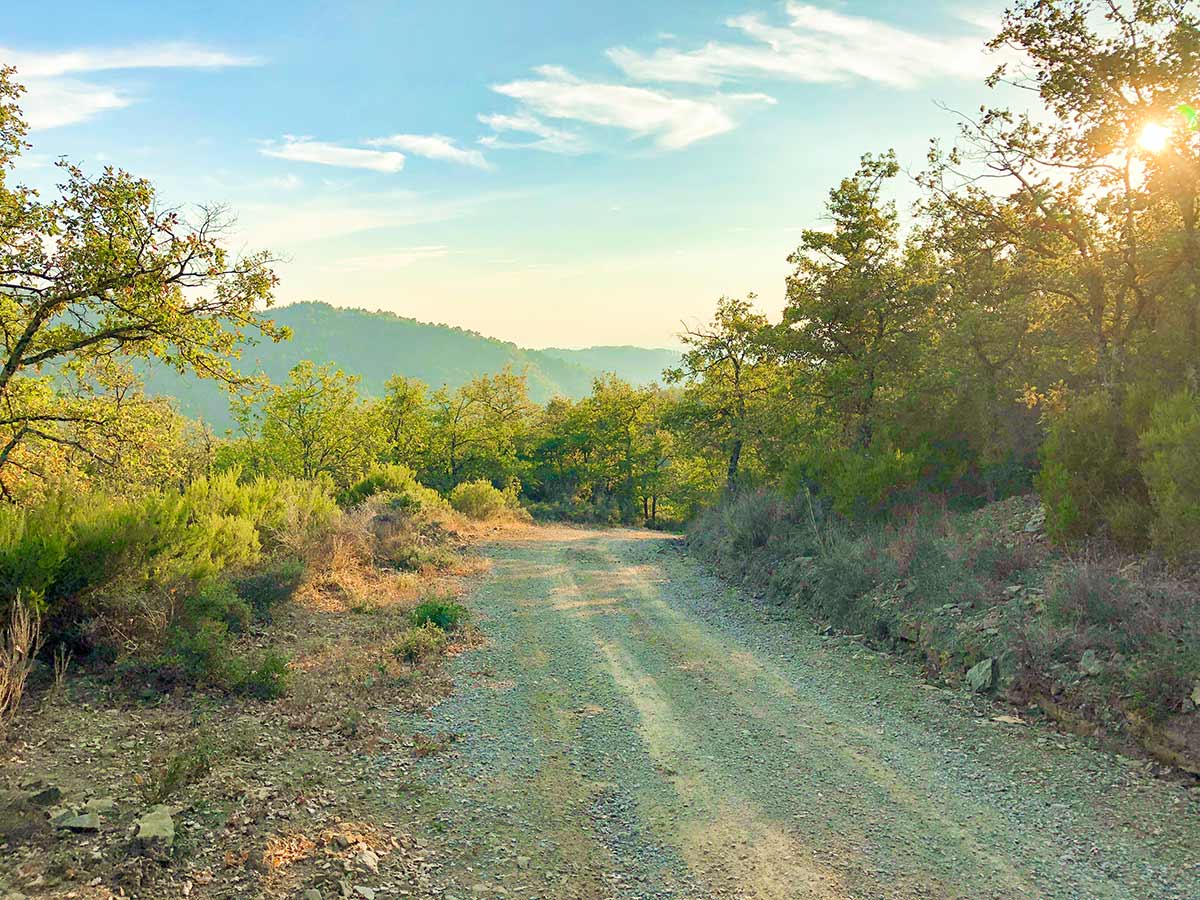
Start on the pedestrian-only Via Bettino Ricasoli in Gaiole and walk roughly north, past the Co-op. Take your first right onto Via Baccio Bandinelli. At the T-intersection, go right. Go left at the second T-intersection. It’s a steep climb and the blood will get moving and you’ll heat up quickly.
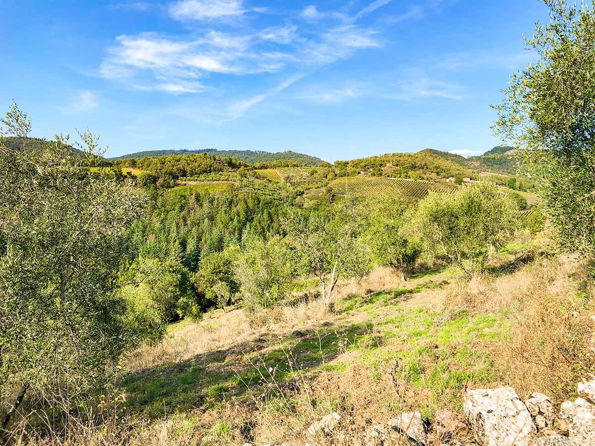
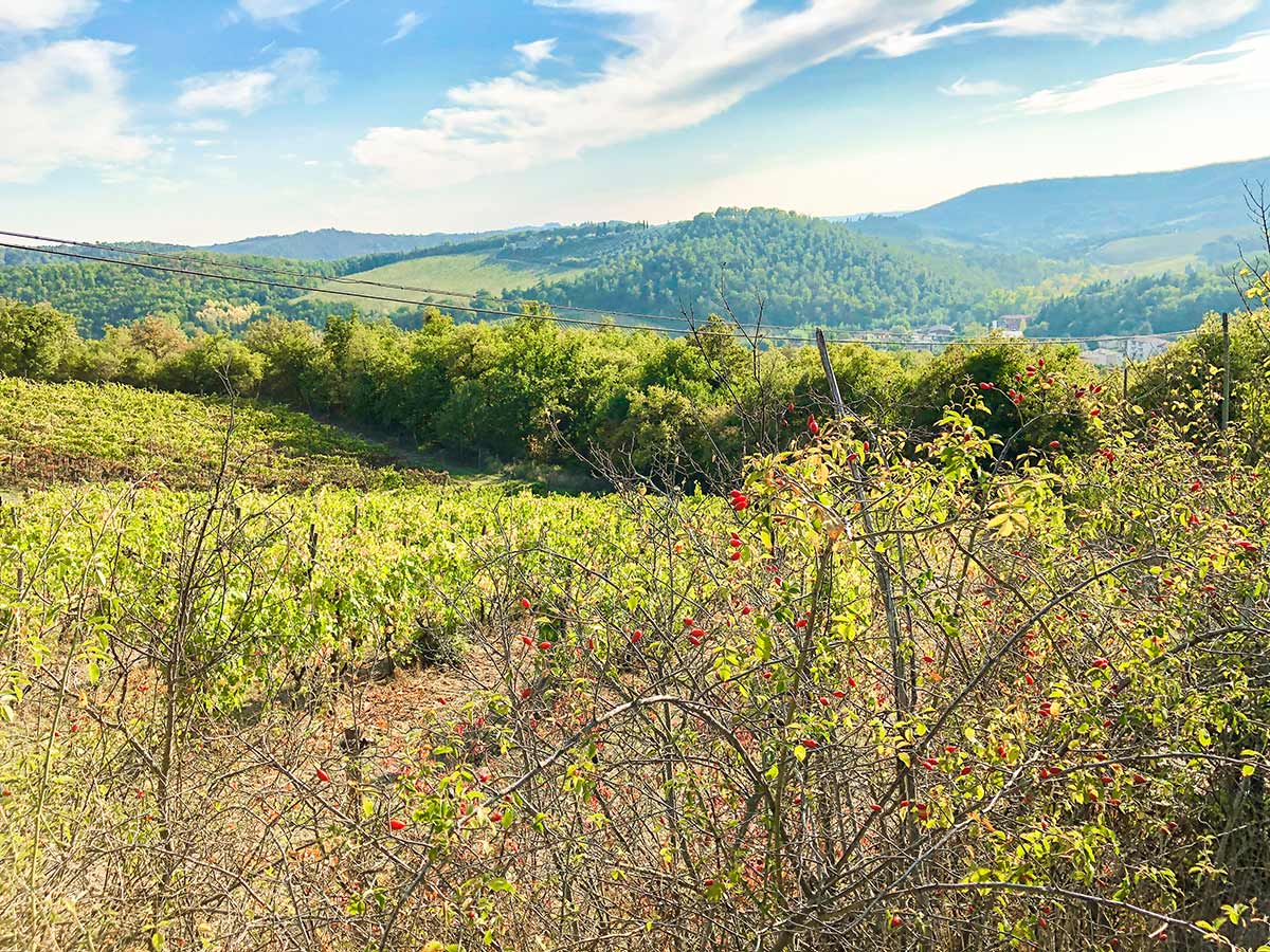
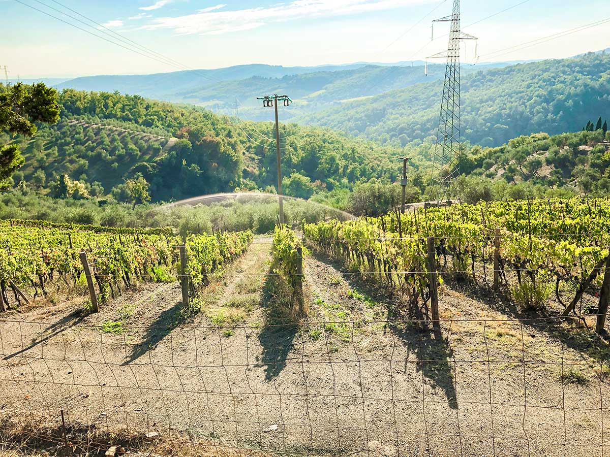
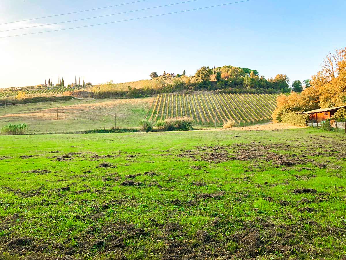
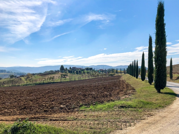
Go up and over the first hill and down and up another. Ignore markings that may indicate taking a road on the right. Along the way you’ll pass the turn off for Riecine Winery, where you can book a tour. Riecine is a great stop for Sangiovese lovers, with a recent Chianti Classico receiving a 94 rating from James Suckling. As you climb you will pass olive groves and vineyards.
After about 1.2mi and a lot of uphill, you will come to an old brick and stone building. Don’t be surprised if you’re pretty tired by the steep uphill.
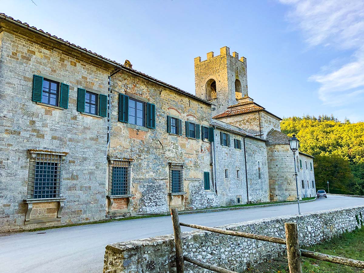
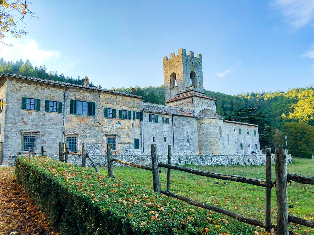
After a 2.0mi grind from start, you will come to a paved road. Go right and stay on this road for 140 meters then take the first left, signed to Badia Coltibuono. Immediately take a right and head down this road for 2625ft. Do not take the dirt road on the right.
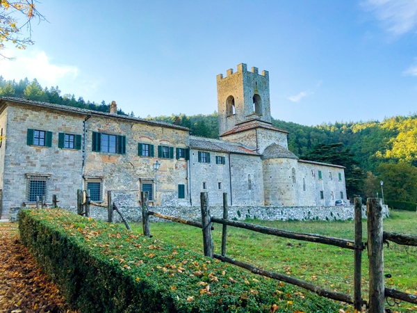
Badia a Colitbuono is a stunning 1,000-year-old abbey. It has cooking classes as well as wine and olive oil tastings. Check times and book in advance if you want a tour. Go to the far end of Bada a Colitbuono to get in.
Retrace your steps back to the main road and then immediately go across the larger road, onto a paved road heading uphill – Strada di Montigrossi.
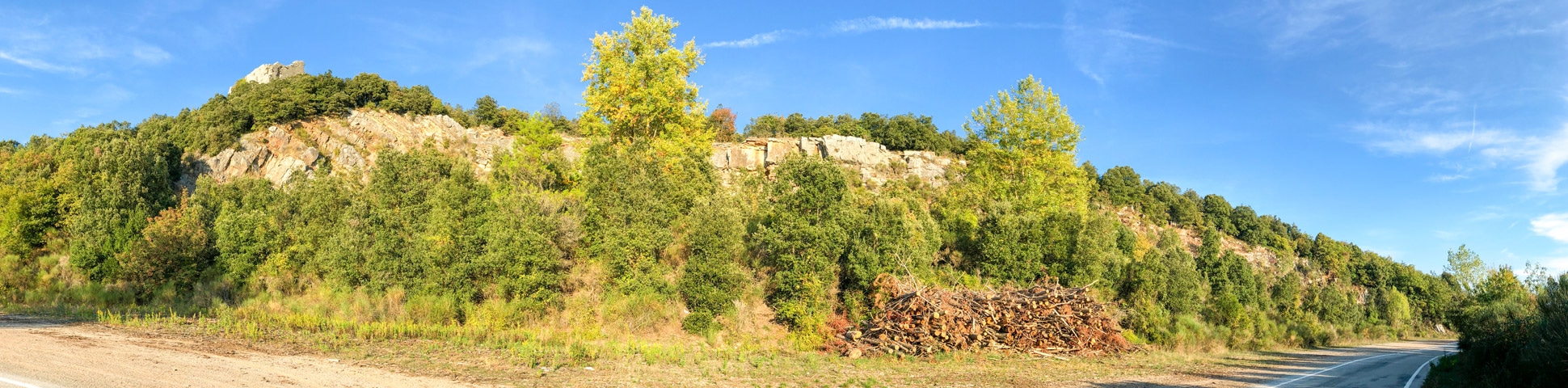
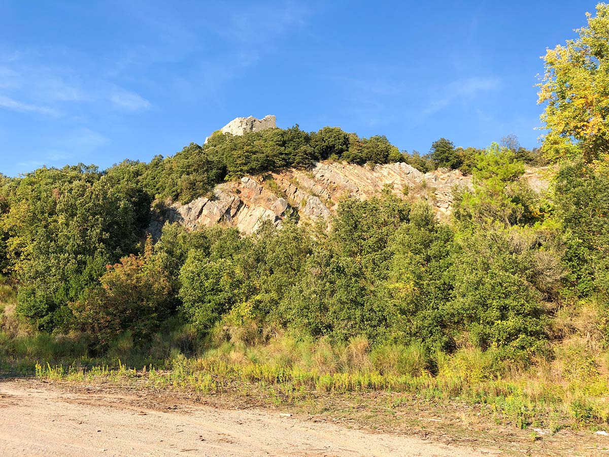
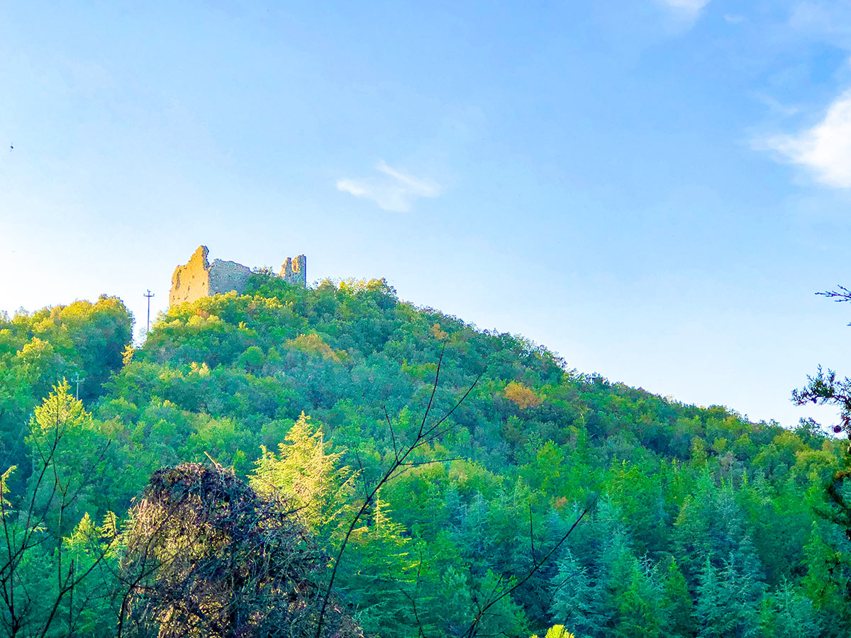
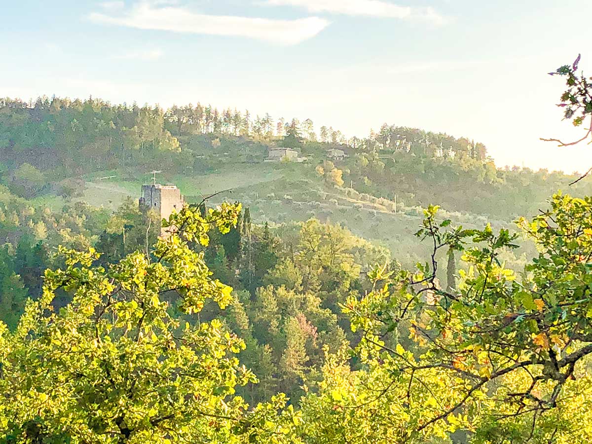
At 3.5mi you will pass some abandoned red brick buildings. Soon after, look up to your left for another abandoned building, Castello di Montegrossi. From here you will quickly come to the cute little town of Montegrossi. Stay on the same road, all the way through town and it will turn back to gravel. At the first junction take the left-hand path, and then the next right at the next junction, signed for Montelucci.
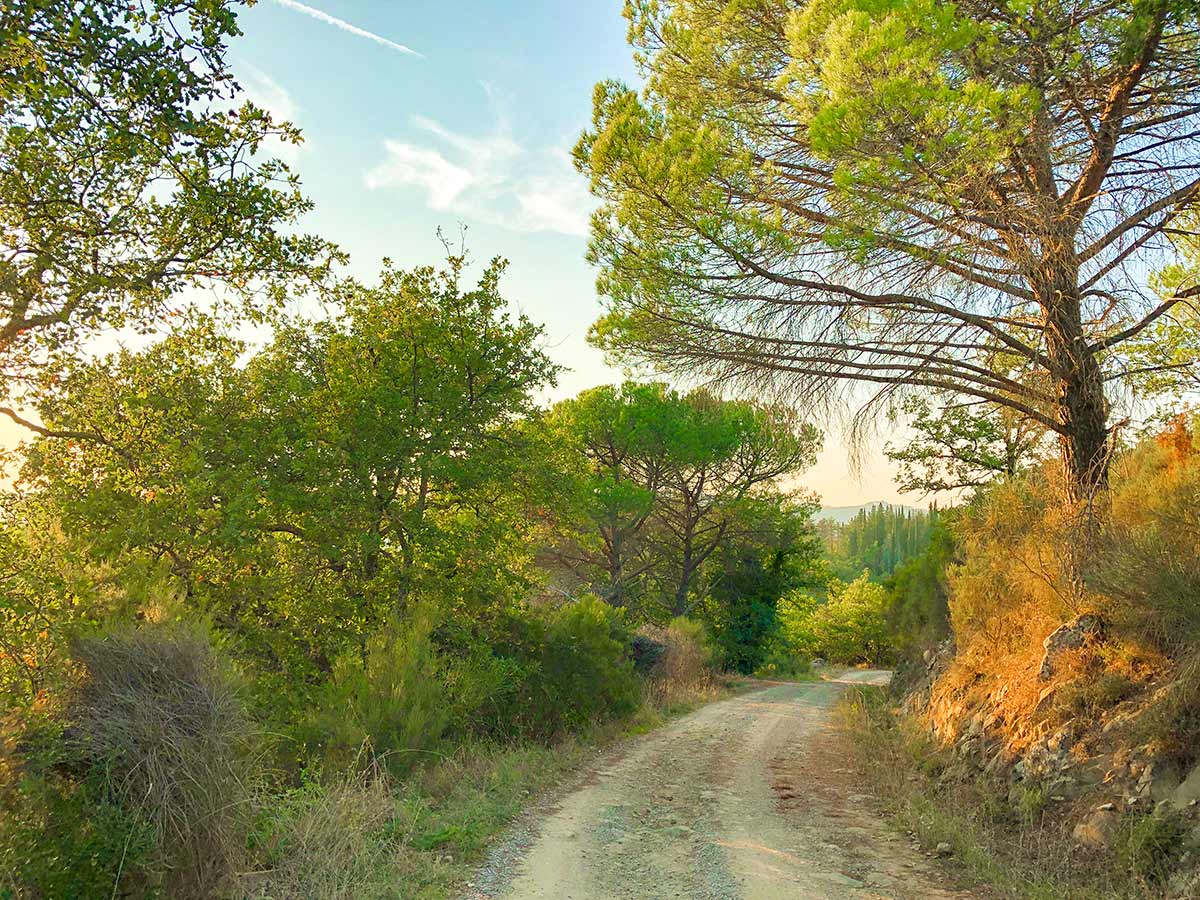
At the third junction go right again. The gravel road feels tremendously remote here. Almost no sound and just peaceful tranquility.
At 5.2mi ignore the trail going up off the right. Stay on this trail named Barbischio Ensoli. 1148ft later you will come to a T-junction, go right. Where the road splits 1312ft, go right again, onto Via G Marconi. Continue along this road back into Gaiole and all the way back to the pedestrianized street, now a perfect place for a coffee or a glass of Chianti Classico.
Insider Hints
Gaiole is a pretty little town, though not very touristy. It’s a fun place to be based for a night.
Gaiole is famous for the L’Eroica bike race, a 129.9mi bike race with almost 13123ft of elevation gain. Most competitors usually take 15 hours to complete this challenging race.

Similar hikes to the Gaiole Loop hike
Radda Loop
The Radda Loop is a popular Tuscan walk near the charming town of Radda. This walk takes you through some…

Monteriggioni to Piazza del Campo Siena Via Francigena
The walk from Monteriggioni to Siena is a classic Tuscan hike that takes you along an original pilgrimage route to…
Pienza to Montepulciano
The hike from Pienza to Montepulciano is classic Tuscan walk. Enjoy this beautiful walk through the Tuscan countryside, connecting two…
FdChiking 4 years ago
There are not much of the crowd. Adorable views.
Francesco D. 4 years ago
steep elevation with beautiful forests and green areas. the trail took four hours with some small breaks
Johnny C. 5 years ago
It was a great experience. You'll see a lot of things like abandoned buildings and greeneries.
justinhardy 5 years ago
It was an amzing place! My whole family enjoyed our trip here.
Julie France 5 years ago
We had some fine time exploring the wonderful villages and vineyards.
Antonin Sand 5 years ago
Whether you use a tour guide or not this place is awesome.
George M. 5 years ago
I pondered the wisdom of the villagers, and I cannot imagine how they were able to keep the environment as it is today.