Radda Loop hike
View Photos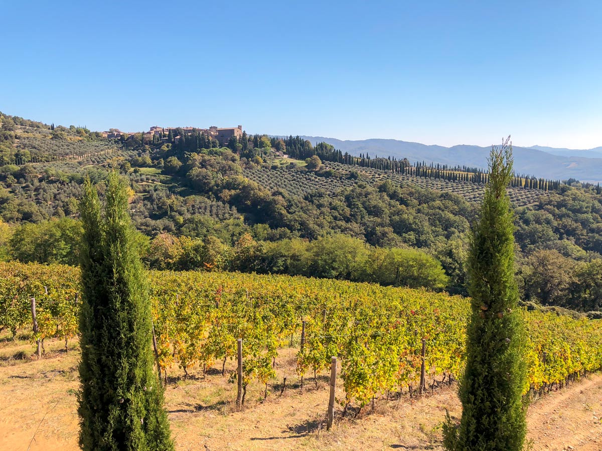

Radda Loop hike
Difficulty Rating:
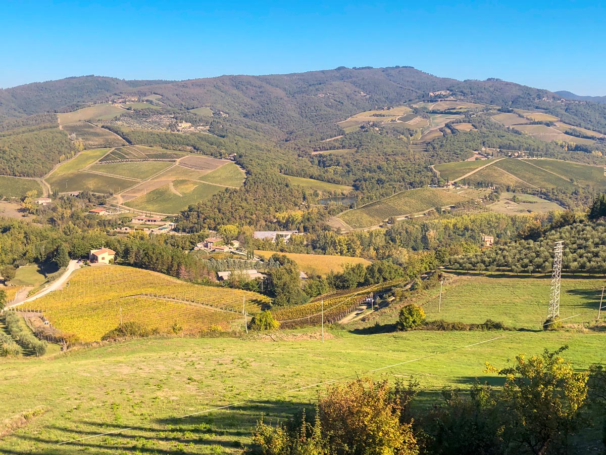
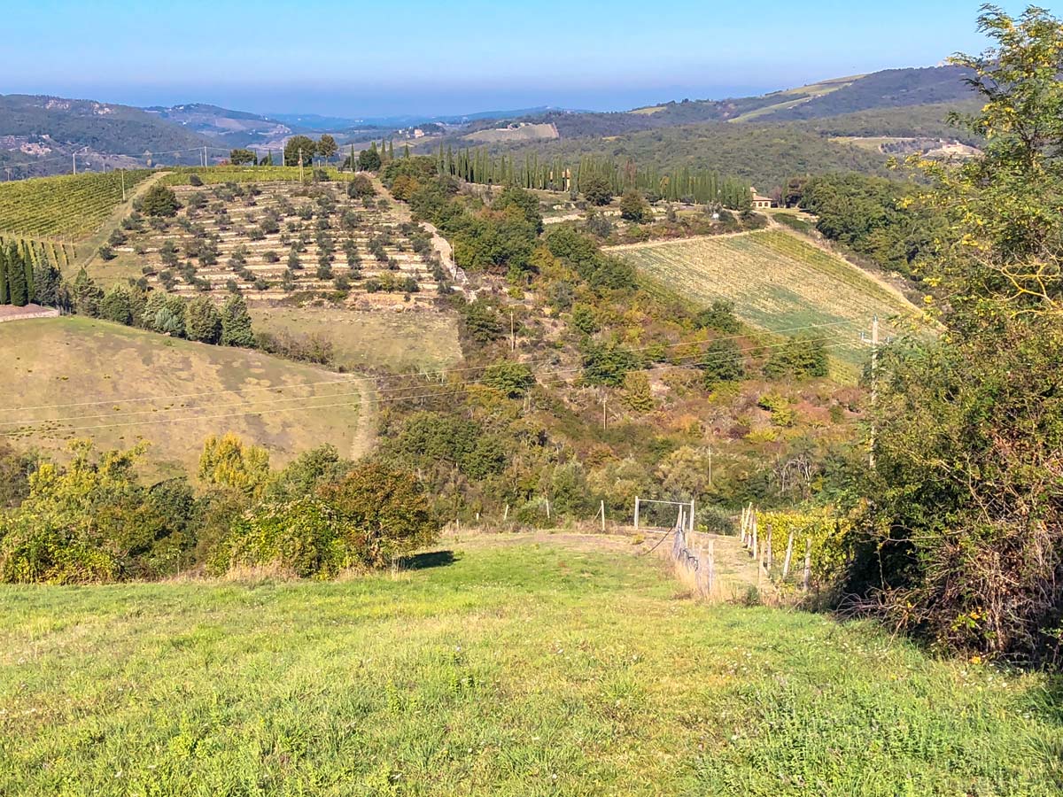
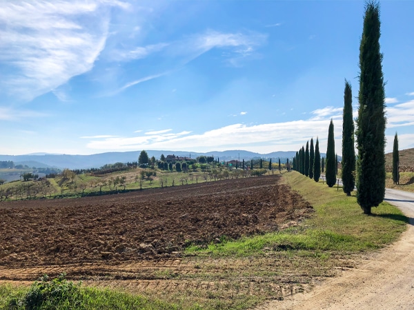
The Radda Loop is a popular Tuscan walk near the charming town of Radda. This walk takes you through some beautiful Tuscan countryside as you pass olive groves and vineyards as well as forests. One of the best parts of the Radda Loop is that it passes through several wineries where you can extend your day by stopping in for a tour!
Getting there
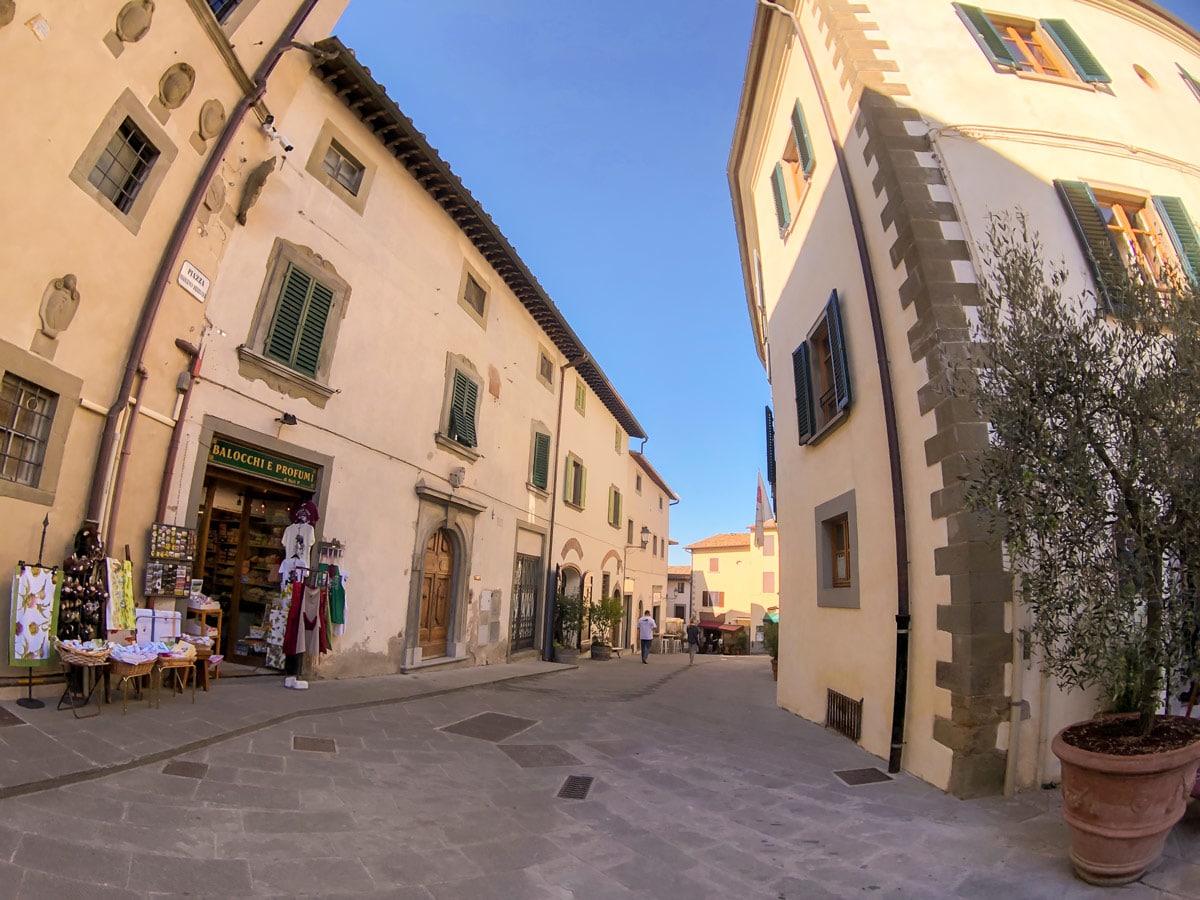
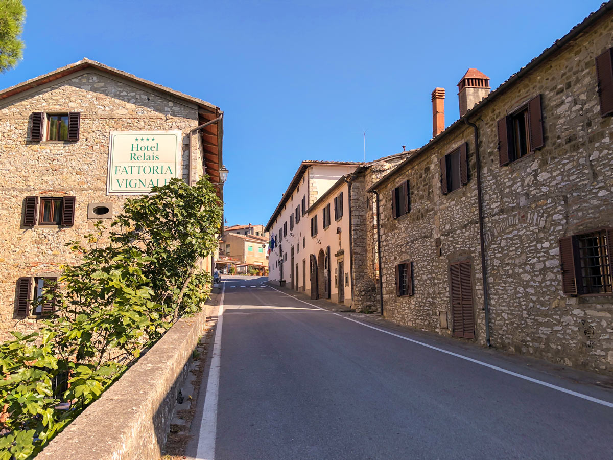
From Siena either drive or take the 125 bus to Radda. Our route begins at Radda ParkPlatz, a public parking lot in town. If you drive, when you come into Radda on the SR 429 continue on this road then take a left on the Circonvallazione Santa Maria. Follow this road around then take a left onto Via Degli Ulivi and the parking lot will be on your right. If you take the bus you can begin at any one of the bus stops on the main road.

About
| When to do | April - October |
| Backcountry Campsites | No |
| Pets allowed | Yes - On Leash |
| Family friendly | Older Children only |
| Route Signage | Poor |
| Crowd Levels | Low |
| Route Type | Circuit |
Radda Loop
Elevation Graph
Weather
Route Description for Radda Loop
From the parking lot below Radda, go uphill along Ciconvallazione Santa Maria. When you get to the main road (Via XX Settembre), go left. Watch for cars. After 1312ft, you will come to a house on the right, take a grassy path right heading downhill between two houses. Continue going down. This doesn’t look like a path but it is.
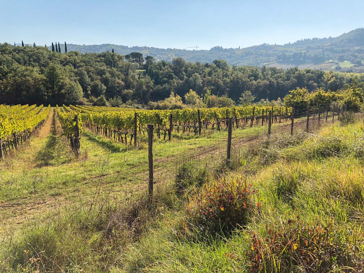
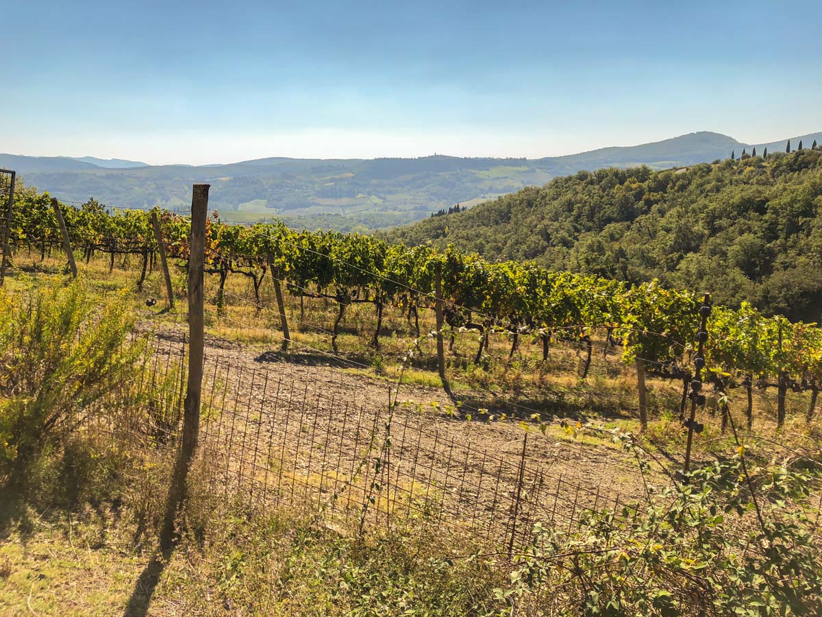
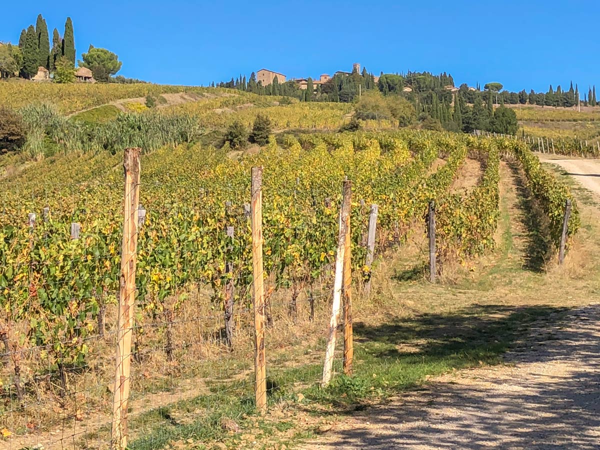
Go through a gate and then turn around and head back uphill and then go left beside a vineyard, keeping it on your left. Keep ahead when the grapes turn to olives and go left at the fence soon after. When the fence goes right, go right as well then left at the next fence. After the trail jogs a few times you come to a gravel road (Strada Provinciale 2bis di Lucarelli) where you go right.
The road soon becomes a concrete road and passes by a large home, curving around to the right. At the next road go left watching for cars.
In five minutes and just after a small red brick bridge go right down a paved road signed for Volpaia. This road continues downhill, and at the bottom of the road you’ll pass over a bridge.
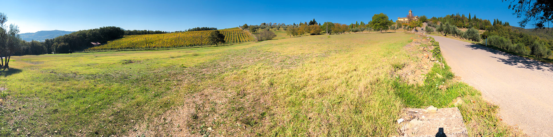
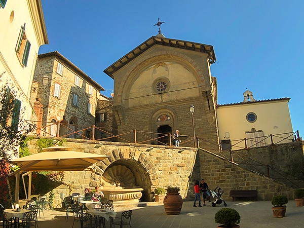
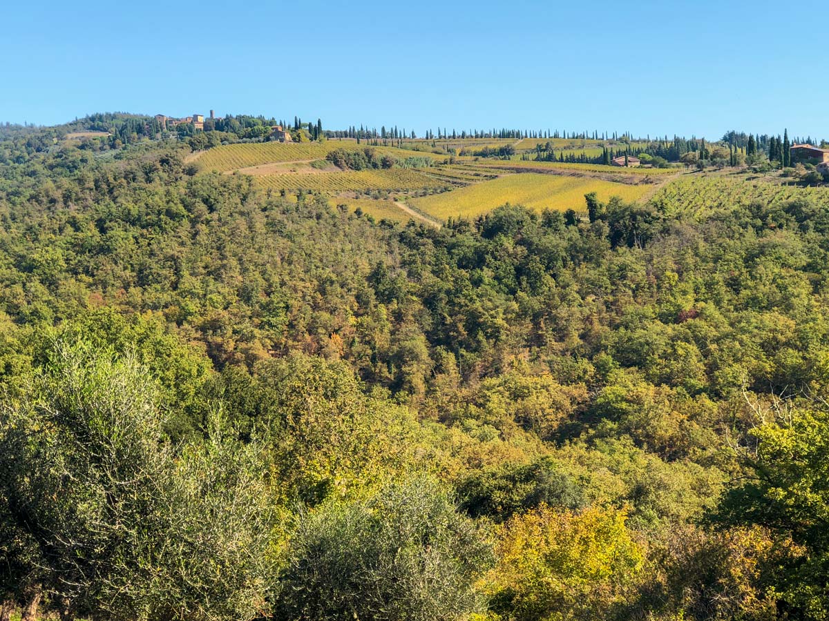
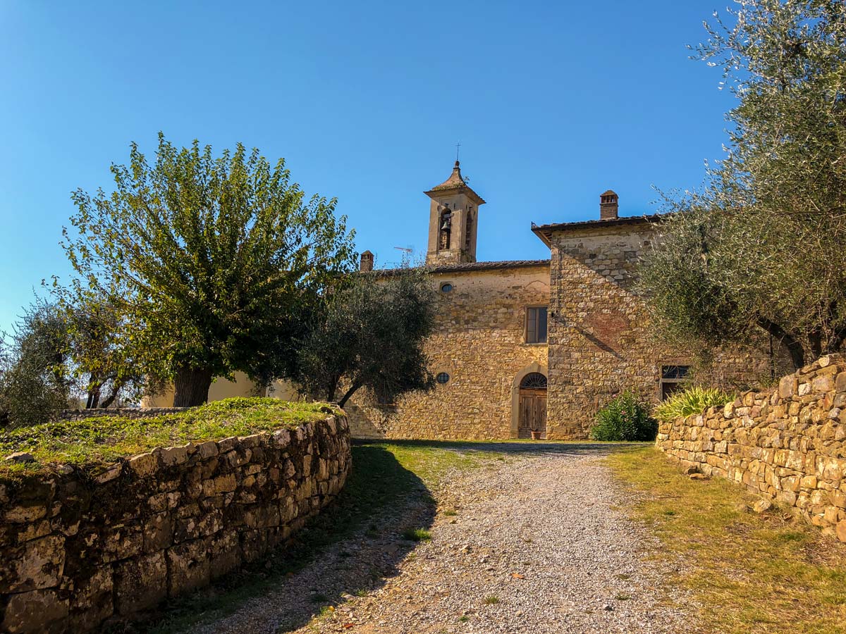
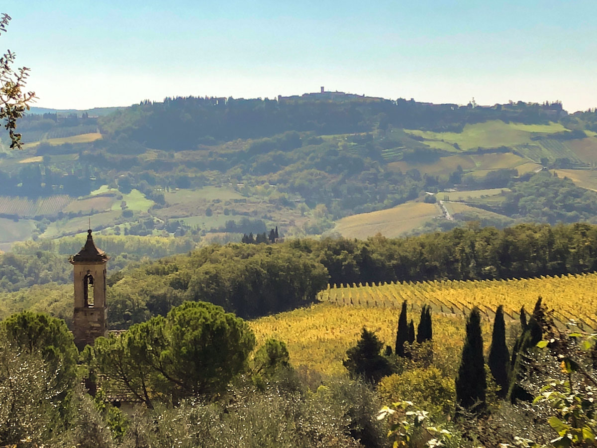
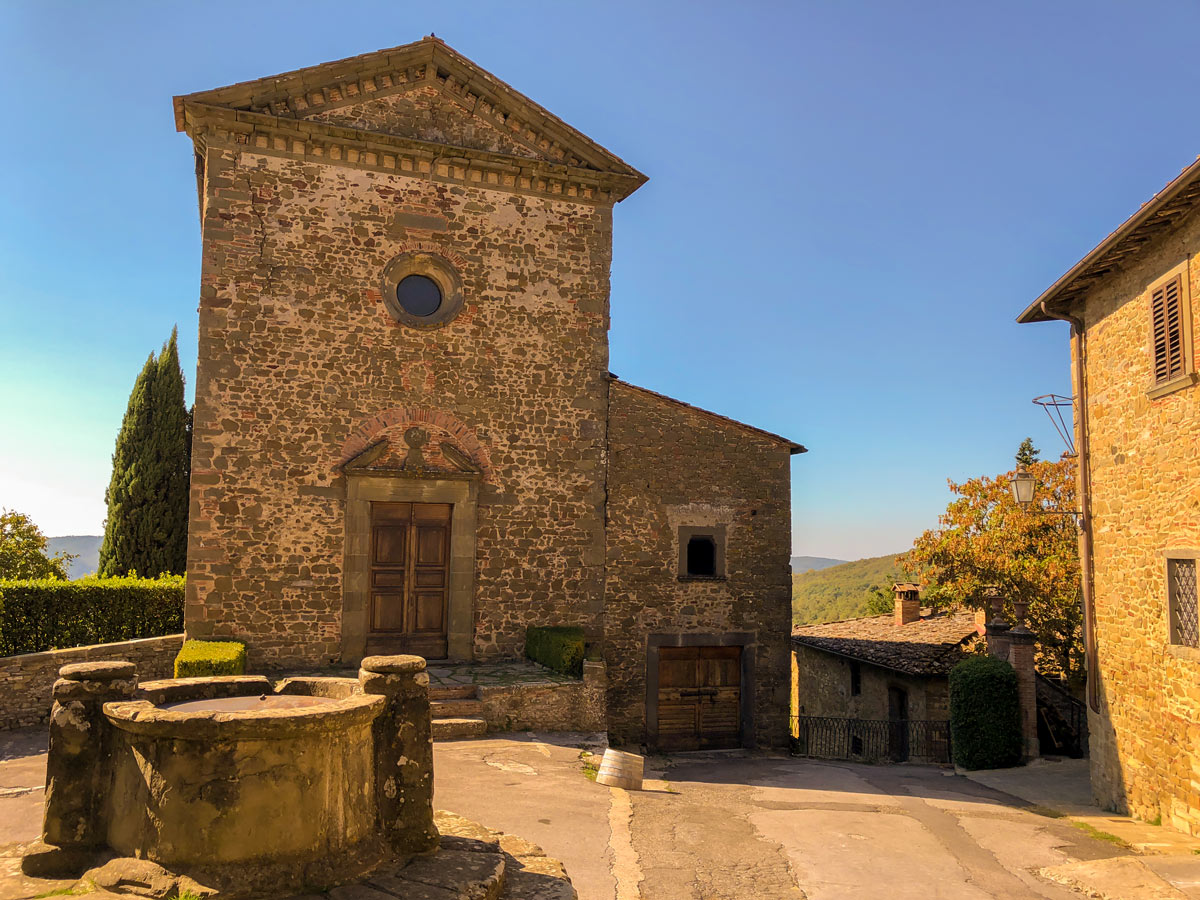
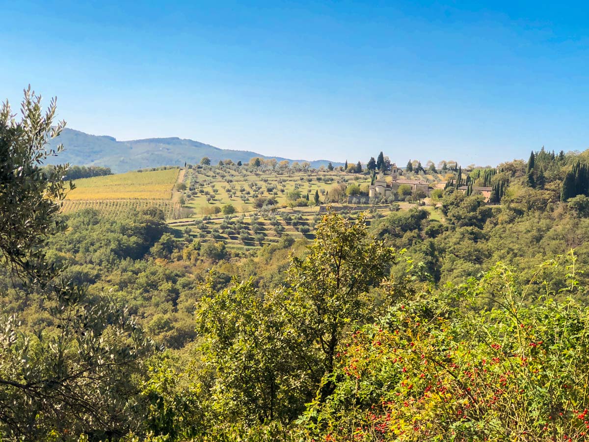
A short distance after the bridge you pass by the turnoff for Castello di Radda, a great place for a tasting of the local wines or a visit to the cellars. Don’t turn here but continue ahead for a short distance and take your next left onto SP114, signed for Castelvecchi. As you rise on the road, you come to Pieve di Santa Maria Novella, a fine yellow church, the views open up all around and are spectacular!
There are lots of motorbikes on this twisty road, and they tend to come tight on the corners. We ended up putting a bright bit of tape on an end of one of our poles to wave around blind / tight corners to alert bikes that may be going fast. We also walked against traffic.
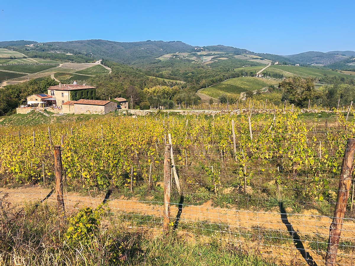
Roughly 80 minutes (3.2mi) after leaving Radda enter Castelvecchi. There is a fine winery here (Cantina Castelvecchi) where you can arrange tastings and tours of the wine making process. The picnic in the vineyard is highly recommended.
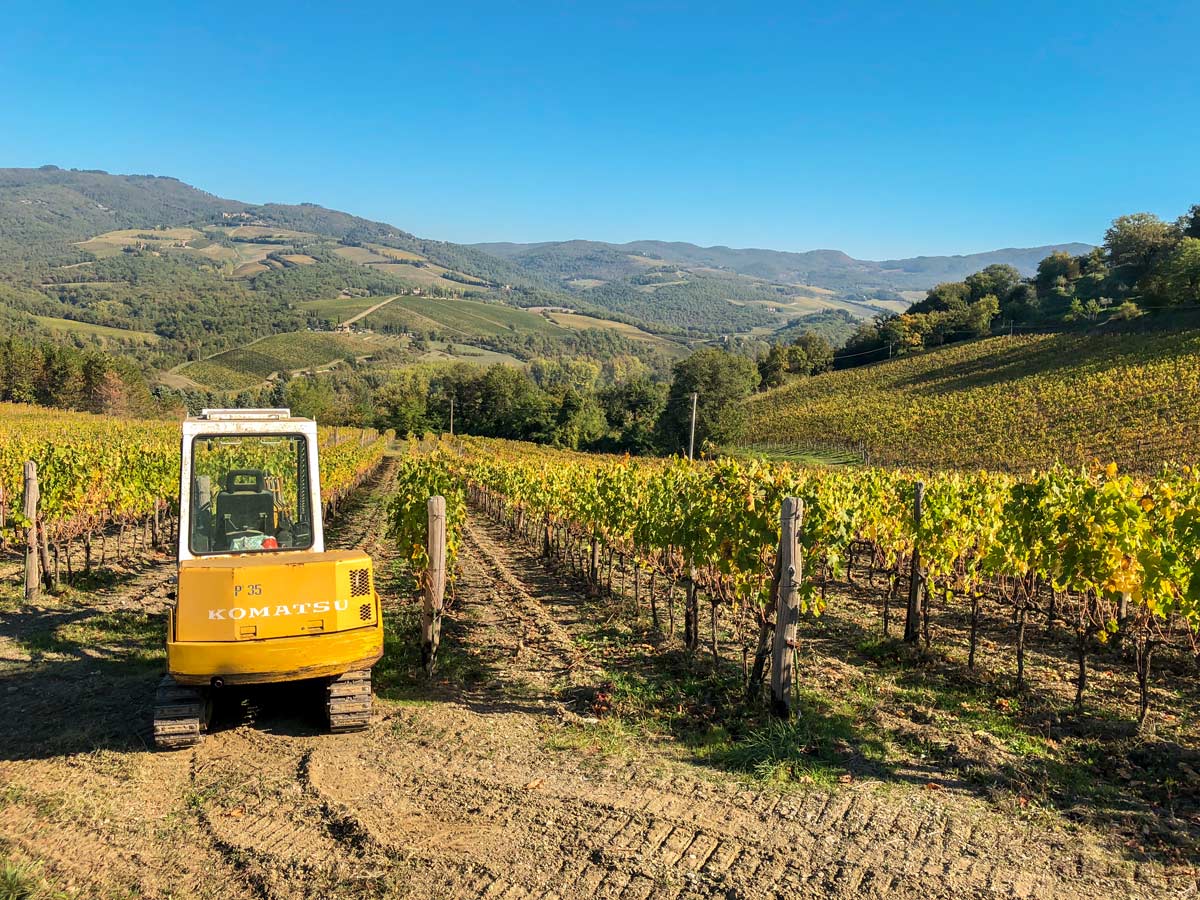
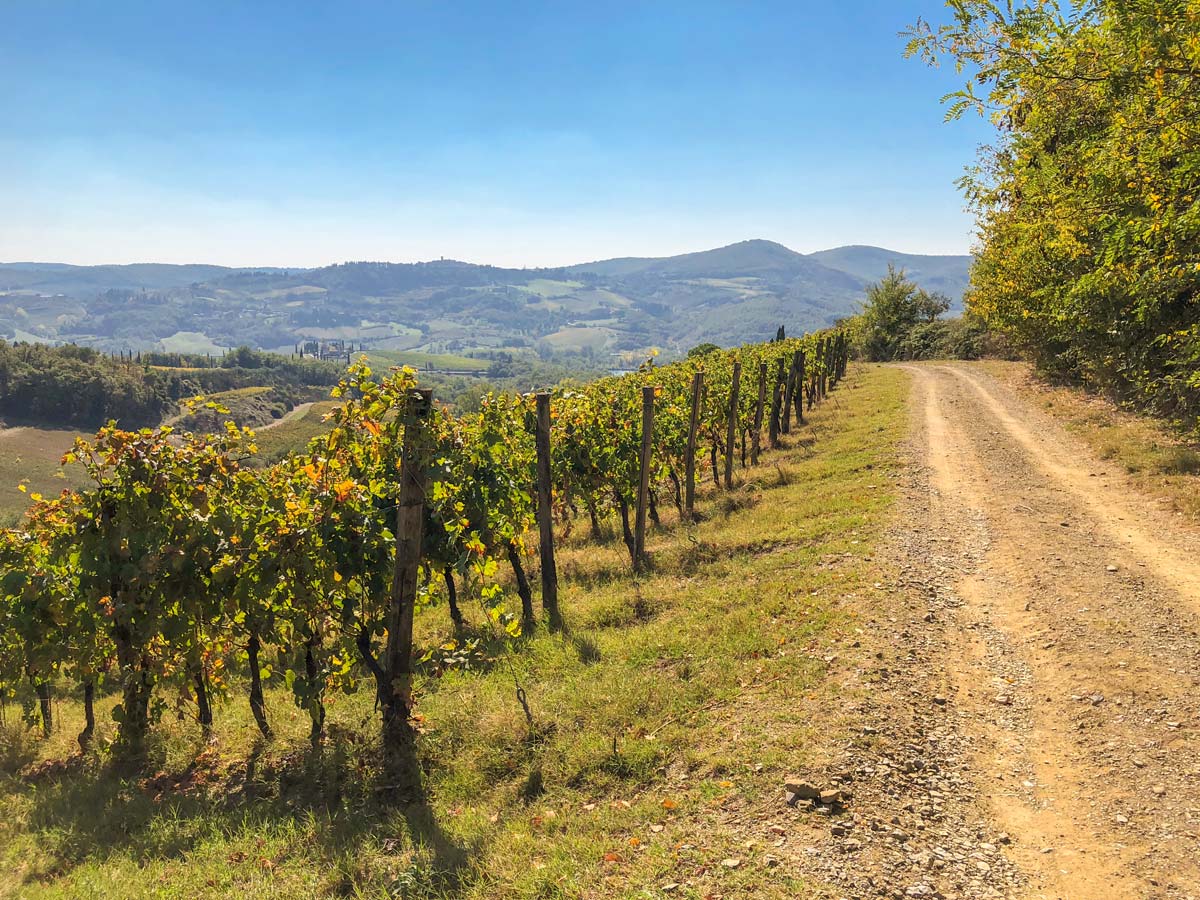
Just after the winery take the gravel road going to the right. You pass by a fence and vineyards on your right with fine views back to the vineyards and to Radda in the distance. If you’re lucky you’ll see them bringing in the harvest. This typically happens in mid-October. About 82ft before an iron gate go left onto a single dirt track, a nice change from roads.
Part way along this walk, pass over a small stream and cross to the other side following the clear path that rises above the stream in a downstream direction. Soon come into the sun and follow the wider path uphill. When you come to a gravel track soon after, go right and downhill, soon passing some fine stone homes. Shortly after, at a fence and vineyard go left following a tough track down hill.
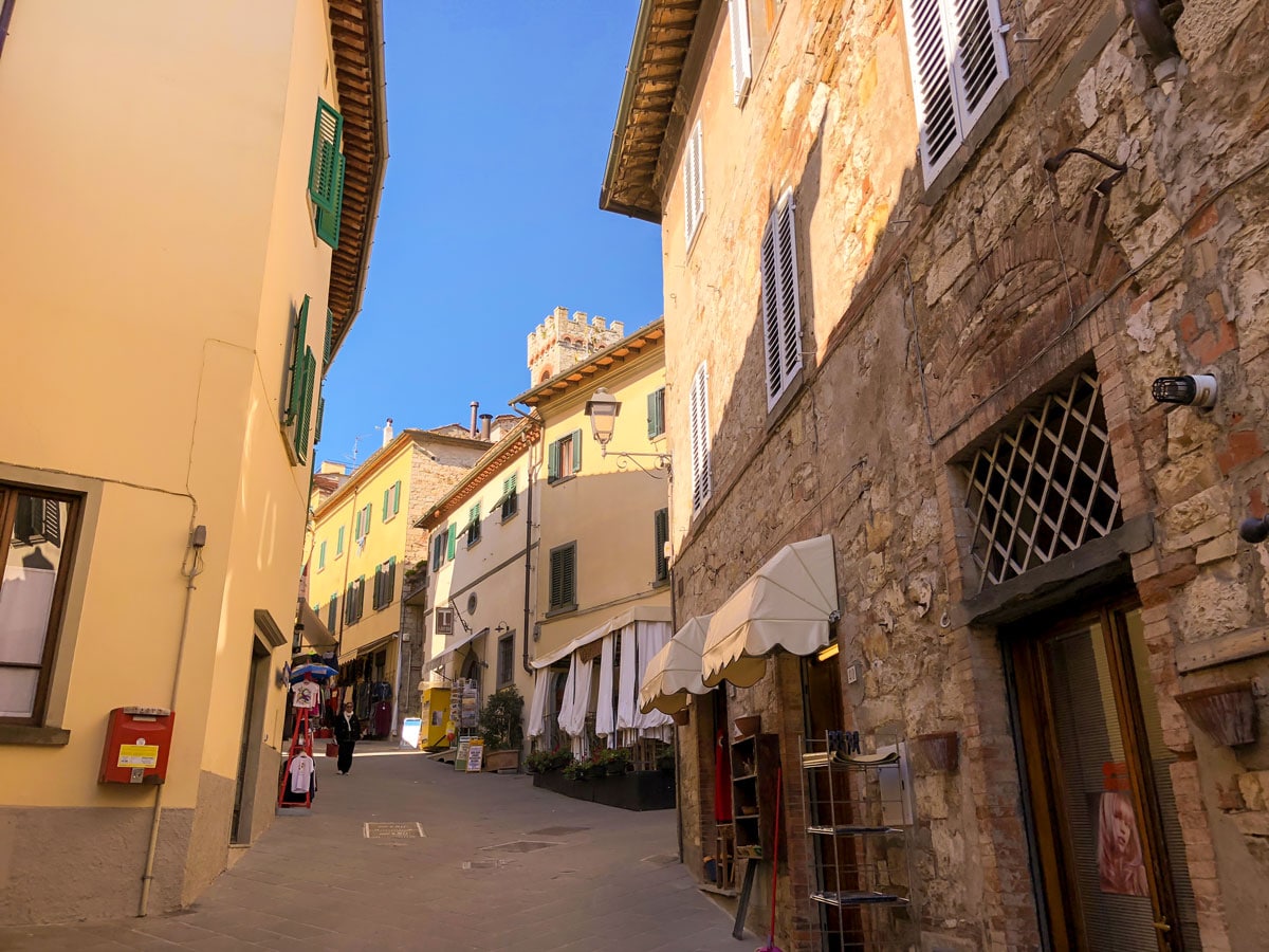
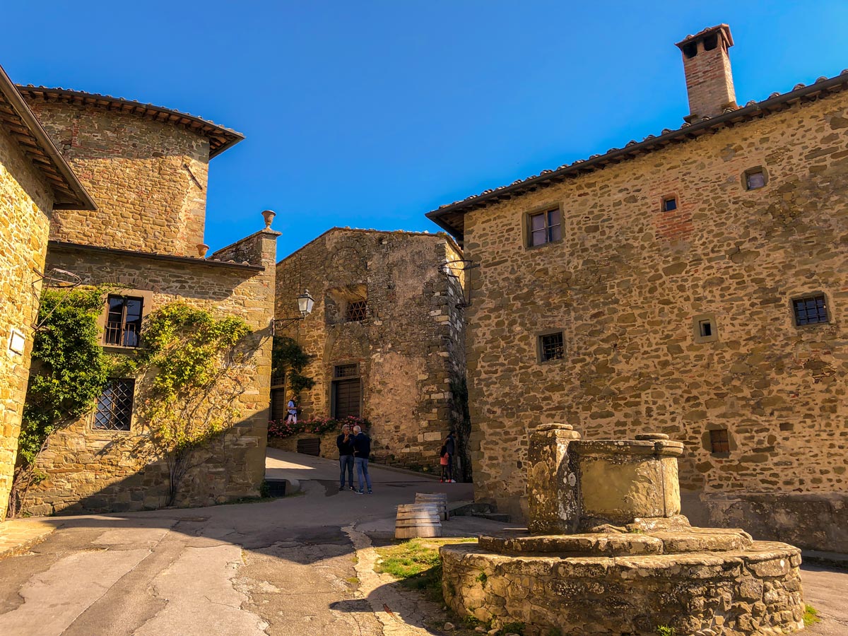
Watch for a hairpin turn at 4.8mi. There is a path going forward but you want to go hard right. Follow the path as it curves below the village of Volpaia which you soon enter, 5.1mi from leaving Radda.
Head through Volpaia, coming to a small square with pleasant restaurants. From the small square, take a right against the first building beside a low hedgerow. The dirt road goes down and when it splits, take the right. The road goes down along a stone wall on both sides and then high evergreens. Where the path splits take the left hand signed to Casetto. At the next crossing road (SR112) go right.
You’re now on a beautiful gravel road beside a vineyard with stunning views in all directions. Ahead on a ridge is Radda. Continue on the obvious gravel road as it goes down and then to the left before it goes right and up again after a small section with grapes on both sides.
At 6.4mi reach a road (SP-112) and go right in the direction of Radda. After a small bridge, you’re back on the road you came out on. Go left signed for Radda, soon crossing a more substantial bridge. When you come to a crossing road go left, signed to Radda. Immediately cross over a red brick bridge. In 6 minutes you cross the gravel road you came down from Radda on your way out. Go right here, through a green gate, retracing your steps back to Radda.
By a large tree go left and then follow the path around to the right, with vineyards and a fence on your left. Jog to right and then follow the fence uphill with olive trees on your right. At the top go right and then left and up again, keeping the fence on your left. Take another right, soon the olive trees turn to grapevines.
Go down and through a gate then up to the road and go left. Stay on the main road to get back to the parking lot quicker.
Insider Hints
Plan ahead and book your winery tours at: Castello di Radda, Castle of Volpaia, Pruneto, The Erta of Radda.
Best to bring your own snacks on this trip, as there aren’t many good places to find food outside of Volpaia.

Similar hikes to the Radda Loop hike
Fiesole to Firenze on the Via degli Dei
The walk from Fiesole to Firenze is a popular hike near Florence. This route follows the Via Degli Dei -…
Monteriggioni to Piazza del Campo Siena Via Francigena
The walk from Monteriggioni to Siena is a classic Tuscan hike that takes you along an original pilgrimage route to…
Pienza to Montepulciano
The hike from Pienza to Montepulciano is classic Tuscan walk. Enjoy this beautiful walk through the Tuscan countryside, connecting two…
MichielB 2 years ago
Large parts of the route follow the main roads. There wasn't a lot of traffic, but it's still not very enjoyable.
Alexis Schweitzer 4 years ago
Great hike with mixed terrain, Roads and towns and you will see olive groves
FdChiking 4 years ago
Great scenery. I just like that you can visit wineries to this trail. Memorable experience.
Antonin Sand 5 years ago
The wines here are magical! Never in my life have I seen such place and felt so close to heaven.