Pienza to Montepulciano hike
View Photos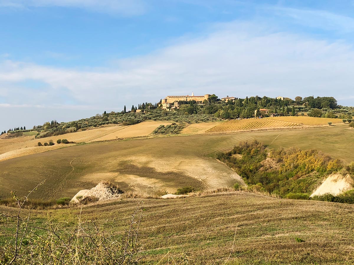
Pienza to Montepulciano hike
Difficulty Rating:
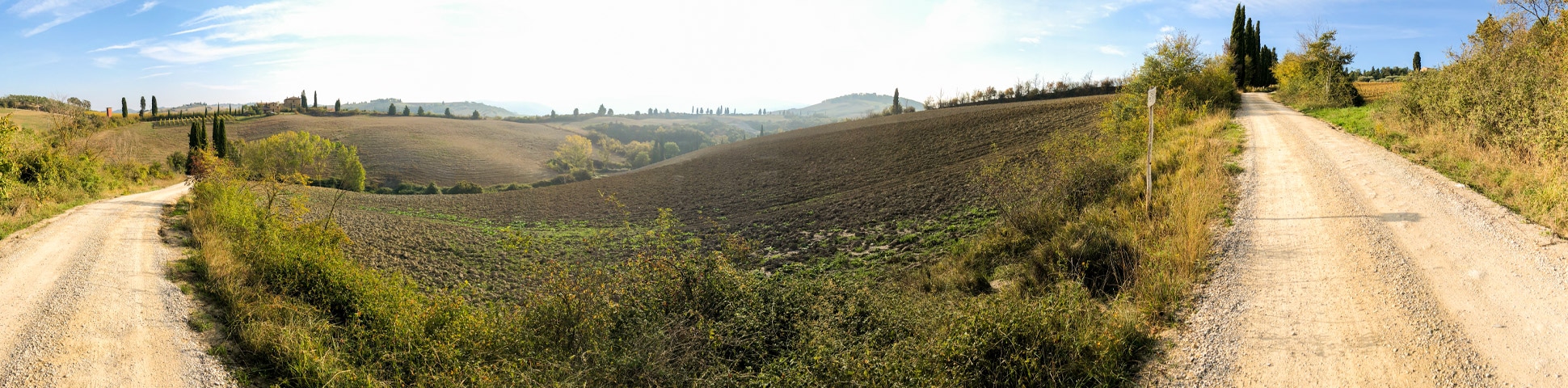
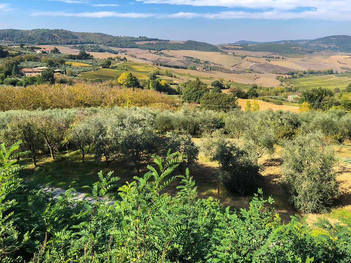
The hike from Pienza to Montepulciano is classic Tuscan walk. Enjoy this beautiful walk through the Tuscan countryside, connecting two wonderful villages. This route takes you past olive groves and classic Italian homes, mostly staying off main roads.
Getting there
You can do this walk in either direction. We suggest catching the 112 bus from Siena at the main bus station in Montepulciano. The main bus stop is located down the hill from Conad. The bus also picks up at P.Ta Della Farine Opp, which is below the other end of town. The 9am bus is well timed for this walk. When arriving at Pienza, jump off the bus at station near Co-op.

About
| When to do | April - October |
| Backcountry Campsites | No |
| Pets allowed | Yes - On Leash |
| Family friendly | Older Children only |
| Route Signage | Poor |
| Crowd Levels | Low |
| Route Type | One Way |
Pienza to Montepulciano
Elevation Graph
Weather
Route Description for Pienza to Montepulciano
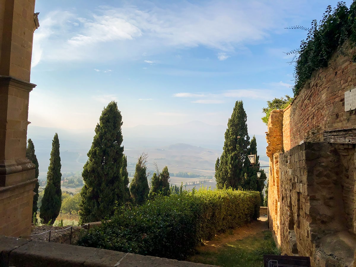
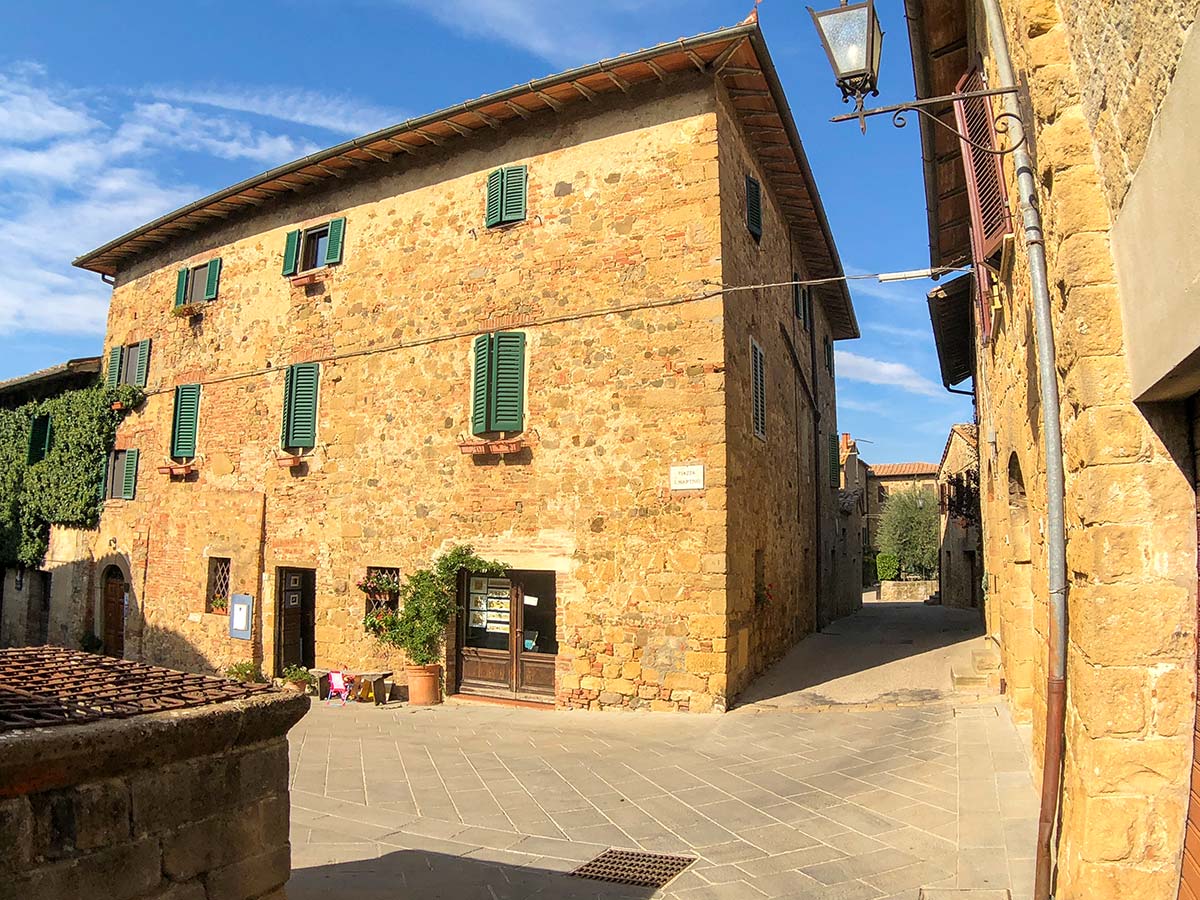
Start from the Co-op where you got off the bus. Drop in at the Co-op for a few treats for your hike and then off you go. Head out towards a clock tower and follow the main road as it curves to the right. Cross this main road (SP 146) and walk past a small square (on your right) and go left through a gate onto a pedestrian-only street that goes through the heart of Pienza. There are lots of shops and occasional great views of the Tuscan countryside on your right.
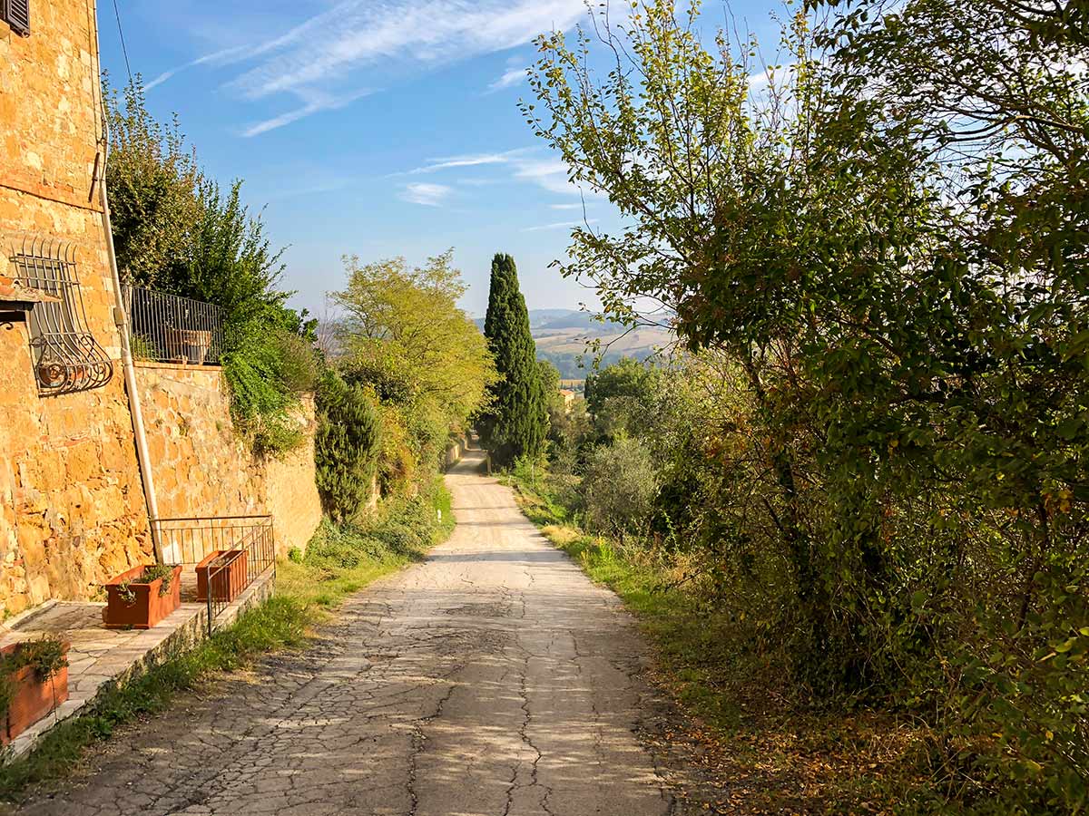
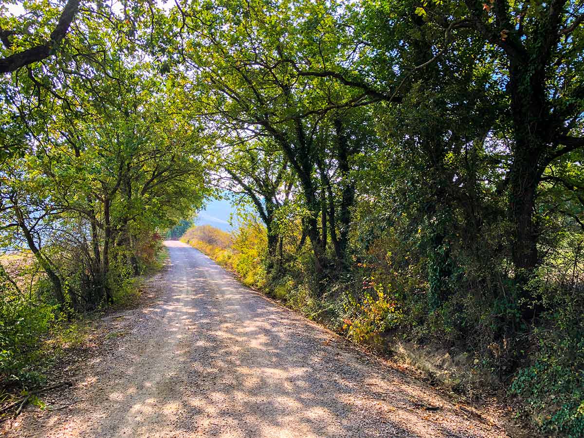
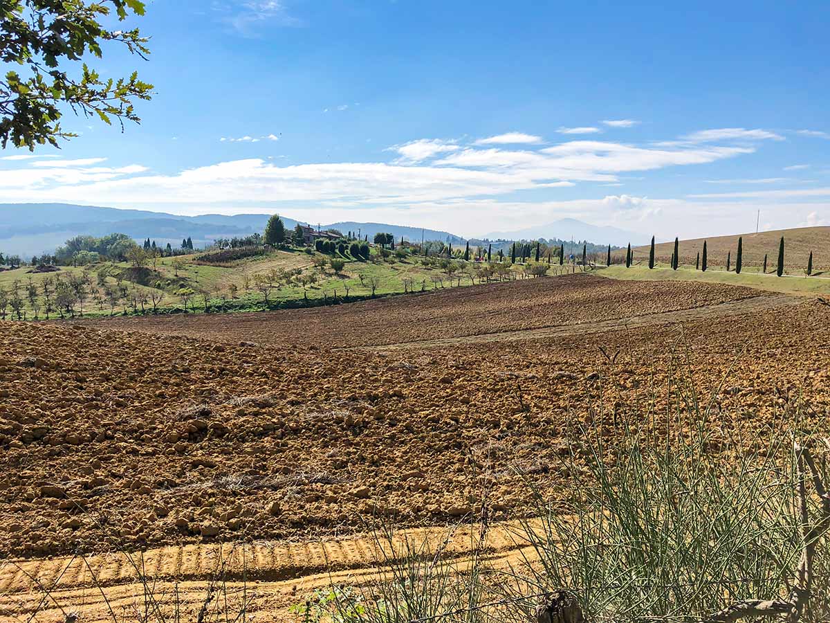
Continue along this road and come out of a gate at the far eastern end and go left, across SP 18 and onto Strada Comunale Piazza Monticchiello. This gravel road heads downhill. Follow the gravel road downhill, past a farm and where the road splits go right and continue on the gravel road. Expect to hear tractors working and birdsong but the route feels remote. To your right are nice views of Pienza.
Follow the road as it curves, rises and falls. Up ahead you’ll see Monticchiello on the top of the hill. After about 2.5mi you come to a road, go left at this T-intersection, following route 24 signed for Nr.35 Albergo. 10 minutes later come to some golden stone buildings, Agriturismo Casalpiano. Go right, then you will soon cross a bridge and when the road splits, go left.
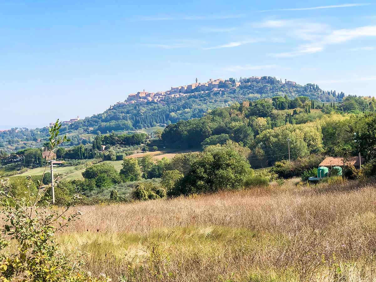
Another 10 minutes and there is a trail to the left signed Sentiero Della via Barlettaia. Take this left if you would like to skirt around Monticchiello. You will reconnect with the path through Monticchiello after roughly 0.6mi. We suggest you visit the pretty village of Monticchiello, so continue straight at this intersection.
You will quickly gain height and arrive at Monticchiello. Go through a gate and at a stop sign go left up a Viale Marino Capelli. Continue along this main road until a t-junction, and take a left. This will take you to a parking area and a bus stop, turn right and continue along this street as it winds its way through town.
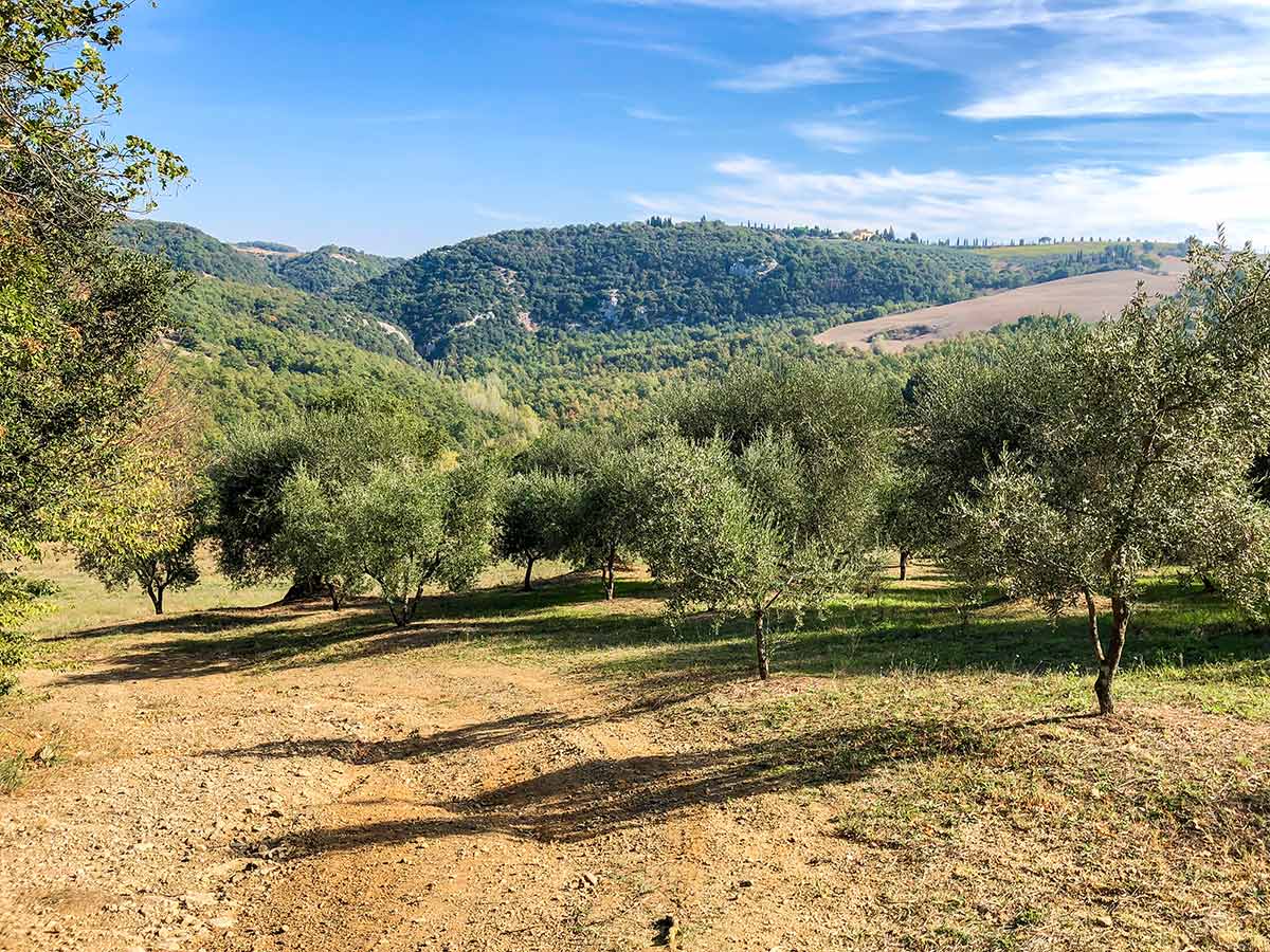
Find the exit of town by La Casa Di Adelina, and get on the path out of the village and go left. Walk on this terrace for a minute and then take right when path splits by an old shed. This path goes through a rarely used trail in the woods for 7-8 minutes before emerging at a rough track below power lines. Go right here and pass by an olive grove with wonderful views across valley. In 2 minutes come to a t-junction and go left. In another few minutes come to another road. Go right. The signs don’t point that way but it’s the way to go (this is where the road around Monticchiello connects).
Follow this new path as it goes down to the valley bottom and then up the other side, mostly in forest.
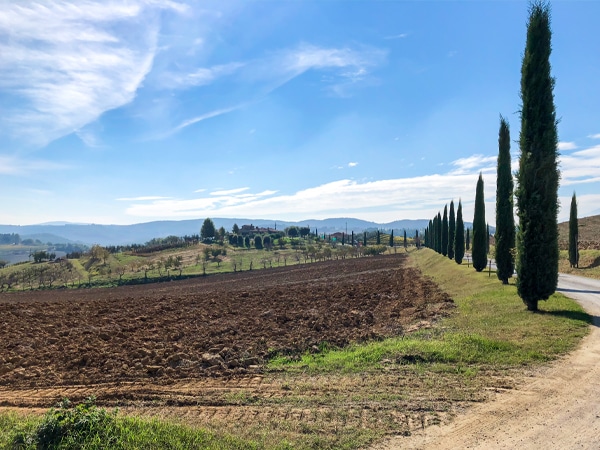
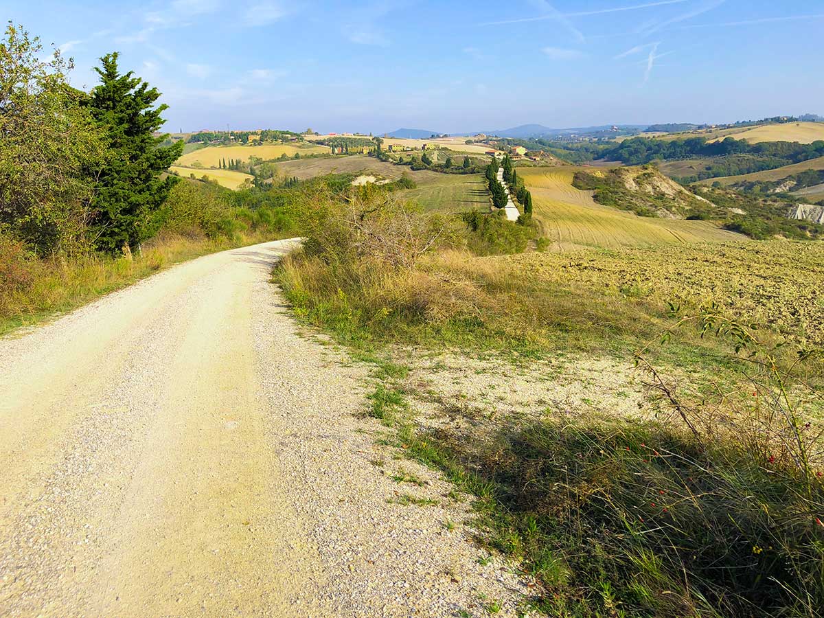
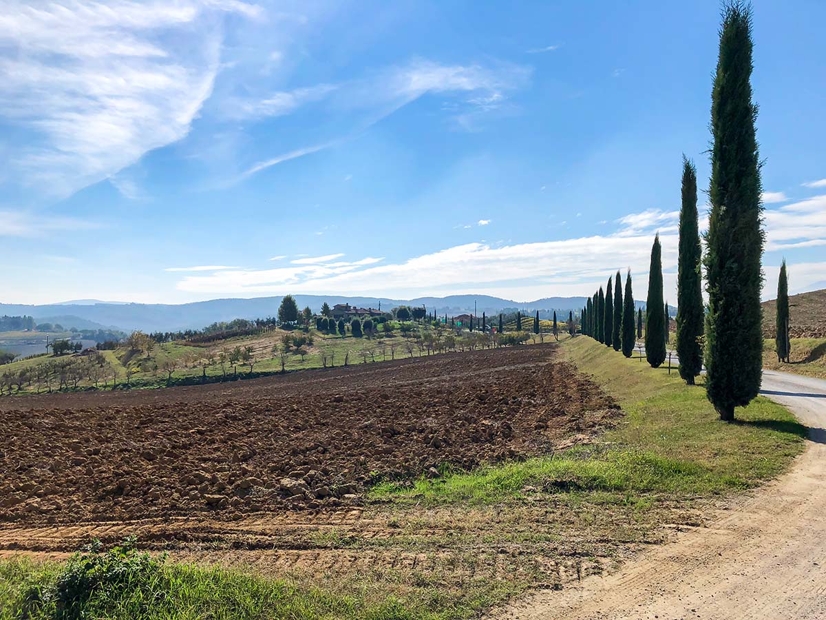
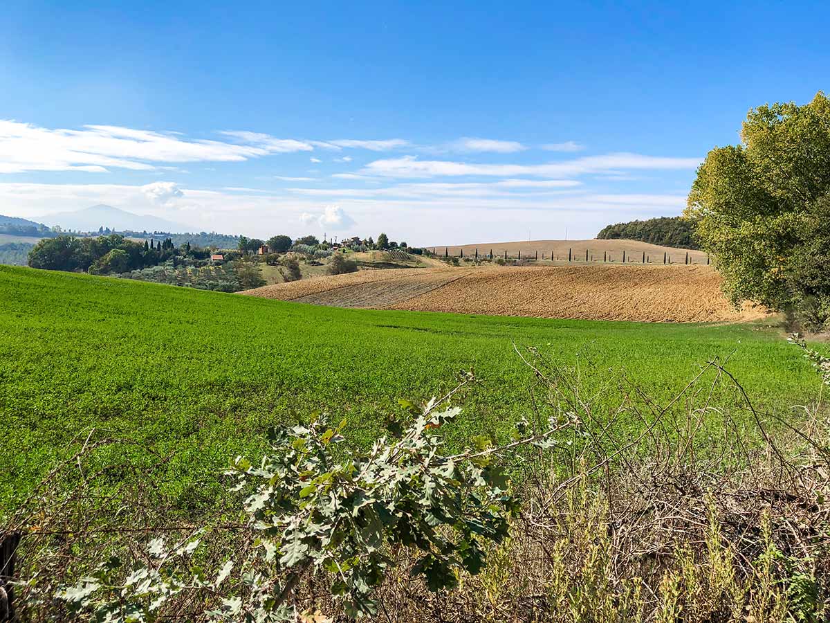
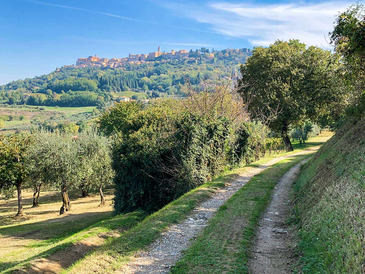
After about 1.0mi you will come to an intersection with another road which is unsigned, but is Via del Termine, which is what the road you are on turns into as you continue straight. After 0.5mi, you reach a t-junction, go right here onto Via di Poggiano. The views and the nice breeze running on this path are lovely. As you look ahead you catch glimpses of Montepulciano in the distance. Follow along here as it merges onto SP 146 then take the first left (after roughly 328ft) onto Via dell’Aiola.
When you come to the next road (2:15 from the start of the walk) it is unsigned 9 but eventually becomes Via del Termine. Go right here, following the power lines. The views from this path are wonderful. And the breeze spectacular. As you look ahead you catch glimpses of Montepulciano.
After about 30 minutes on this gravel road you come to a paved road. Left is the charming Villa Poggiano – a luxury hotel. Go right down the hill for about 5 minutes until you come to a main road (SP 146). Cross this road and go right and walk along the road for 4 minutes. Watch out for cars. Turn left onto Via dell’Aiola.
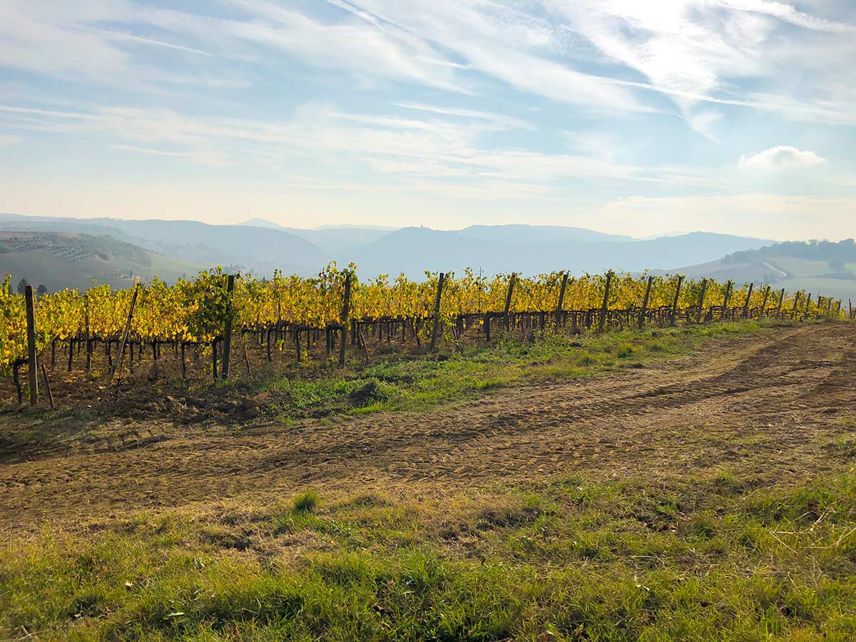
Follow this track, passing a pretty red brick home, a minute after which take a right turn on another gravel road. If you time it right, you’ll get the smell of wood smoke and lunch being cooked. Walk past olive groves and vineyards and enjoy the fine sight of Montepulciano in front of you. What a way to arrive in a Tuscan hill-town!
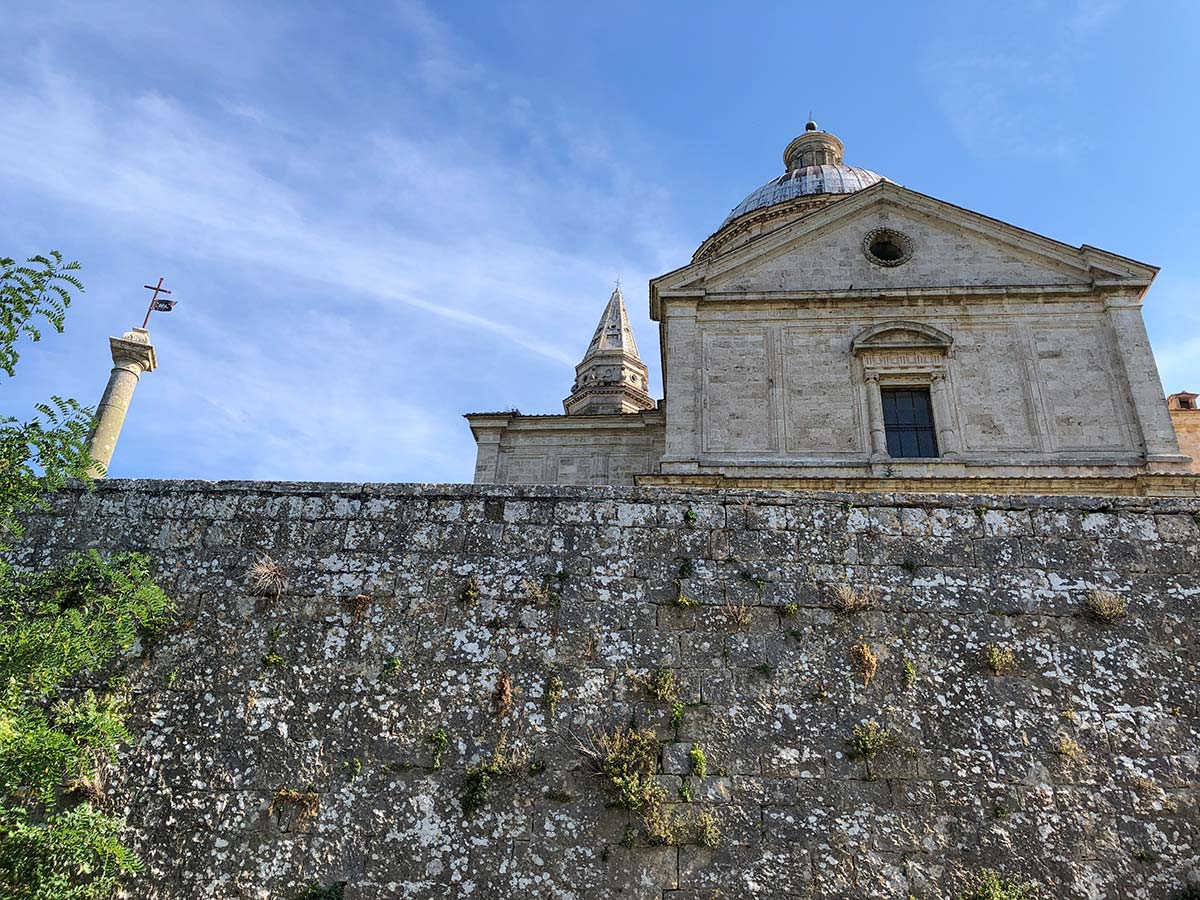
Soon you come to a paved road below the impressive Chiesa di San Biagio. Go right up this road. Where the road splits go left and contour around this incredible building. A visit is well worth the price of admission. At the far end of this street and just past the church is a road leading up signed for Centro Storico. Take this last climb.
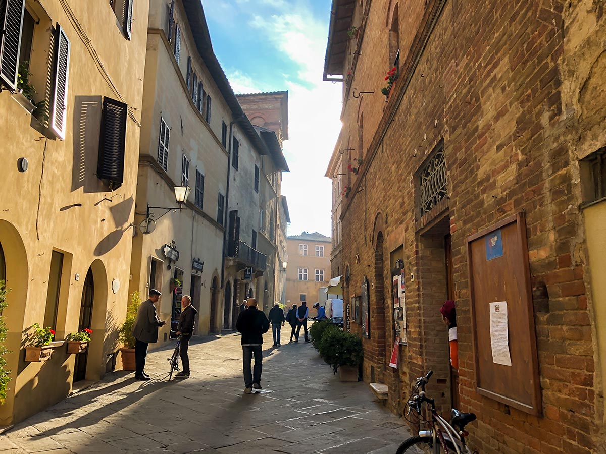
Once at the town go through a gate then along walls and take the first right then quick left, going uphill through another gate. You come out at Via Ricci. Go right for Piazza Grande. Cut diagonally across the piazza to your left and go down as the road curves to right. Pass one road and at the following road go right. You’re now on a small street full of shops. Via dell’Opio Nel Corso. Where the path splits part way down to the right, continue downhill. Soon after the road splits again at the Sant’Agostino church. Take the left-hand path and continue. At your next intersection (by a statue) take the left-hand road down through a gate.
Continue through Montepulciano and outside the town gates. There is some parking here and a church with a giant horse statue in a pleasant park on your right, a good place for a coffee. The Conad is on the right, on Via Elio Bernabei. The bus stop is harder right along Viale I Maggio and then take the stairs downhill.
Hurray. You did it.
Insider Hints
This is a great walk, and we recommend staying in either Pienza or Montepulciano so your morning/afternoon transfers aren’t too long.
Montepulciano is a stunning Tuscan town, and very pleasant to explore. This is a walk where it helps to have data on your phone so you can check where you are while walking.

Similar hikes to the Pienza to Montepulciano hike
Fiesole to Firenze on the Via degli Dei
The walk from Fiesole to Firenze is a popular hike near Florence. This route follows the Via Degli Dei -…
Radda Loop
The Radda Loop is a popular Tuscan walk near the charming town of Radda. This walk takes you through some…
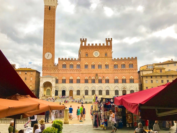
Monteriggioni to Piazza del Campo Siena Via Francigena
The walk from Monteriggioni to Siena is a classic Tuscan hike that takes you along an original pilgrimage route to…
FdChiking 4 years ago
If you are looking for classic Italian homes, fine sight along the way then this is the place you are looking for.
justinhardy 5 years ago
It was a magnificent adventure for all of us. The paths are easy to follow and there are beautiful views of nature and villages to see.
Greenworld88 5 years ago
It is how I imagined the path to heaven would look like.
Cindhy Klins 5 years ago
Breathtaking walk. It was nice to hear the birds singing. Amazing nature trip. Very peaceful.