Talakha hike
View Photos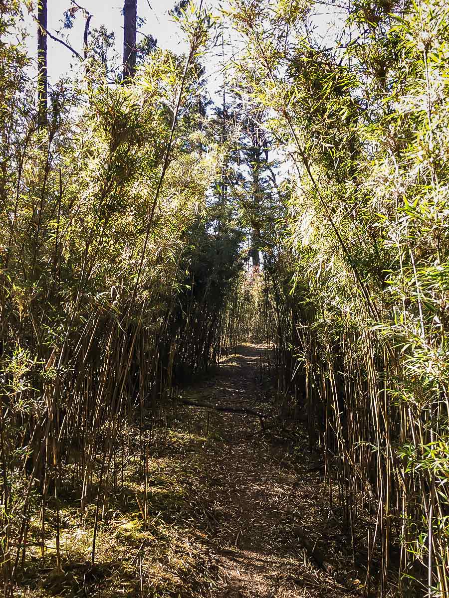
Talakha hike
Difficulty Rating:
The Talakha Hike is one of the most difficult hikes in the area, but it offers rewarding views of the vast landscape sprawling below. En route, you’ll meander through bamboo, logging sites, collecting dog friends as you trek, who will bark at any yaks or animals crossing the path. The lack of signage may heighten your chances of getting lost, but it’s all a part of the adventure, right?
Getting there
The start point is the Talakha Goempa.

About
| When to do | March-June, weather dependent. October – December. |
| Backcountry Campsites | No |
| Family friendly | No |
| Route Signage | None |
| Crowd Levels | Low |
| Route Type | Out and back |
Talakha
Elevation Graph
Weather
Route Description for Talakha
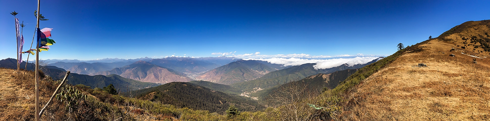
While this hike unveils magnificent views, it’s not for the faint-hearted and is considered to be one of the more difficult treks around Thimphu.
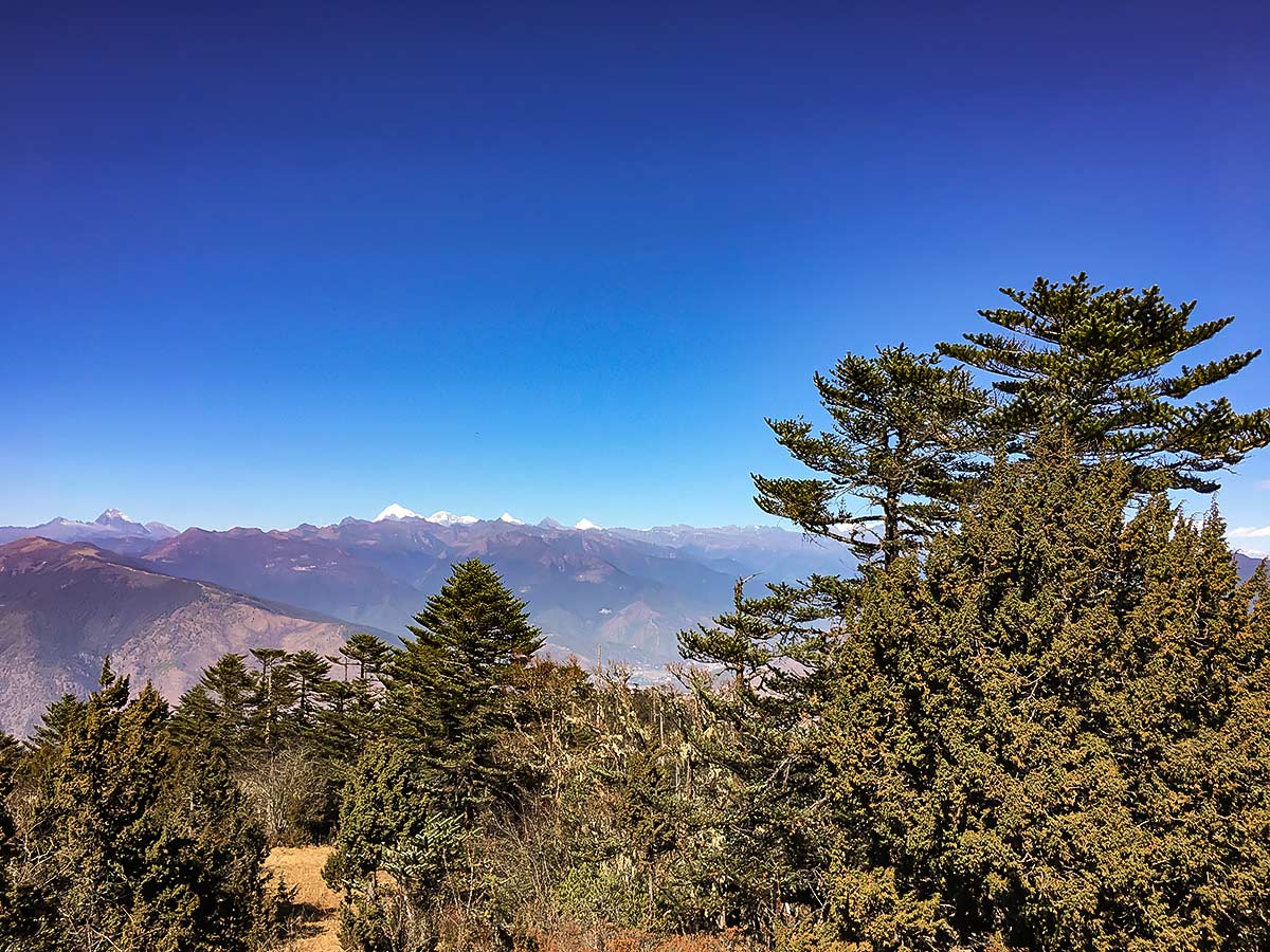
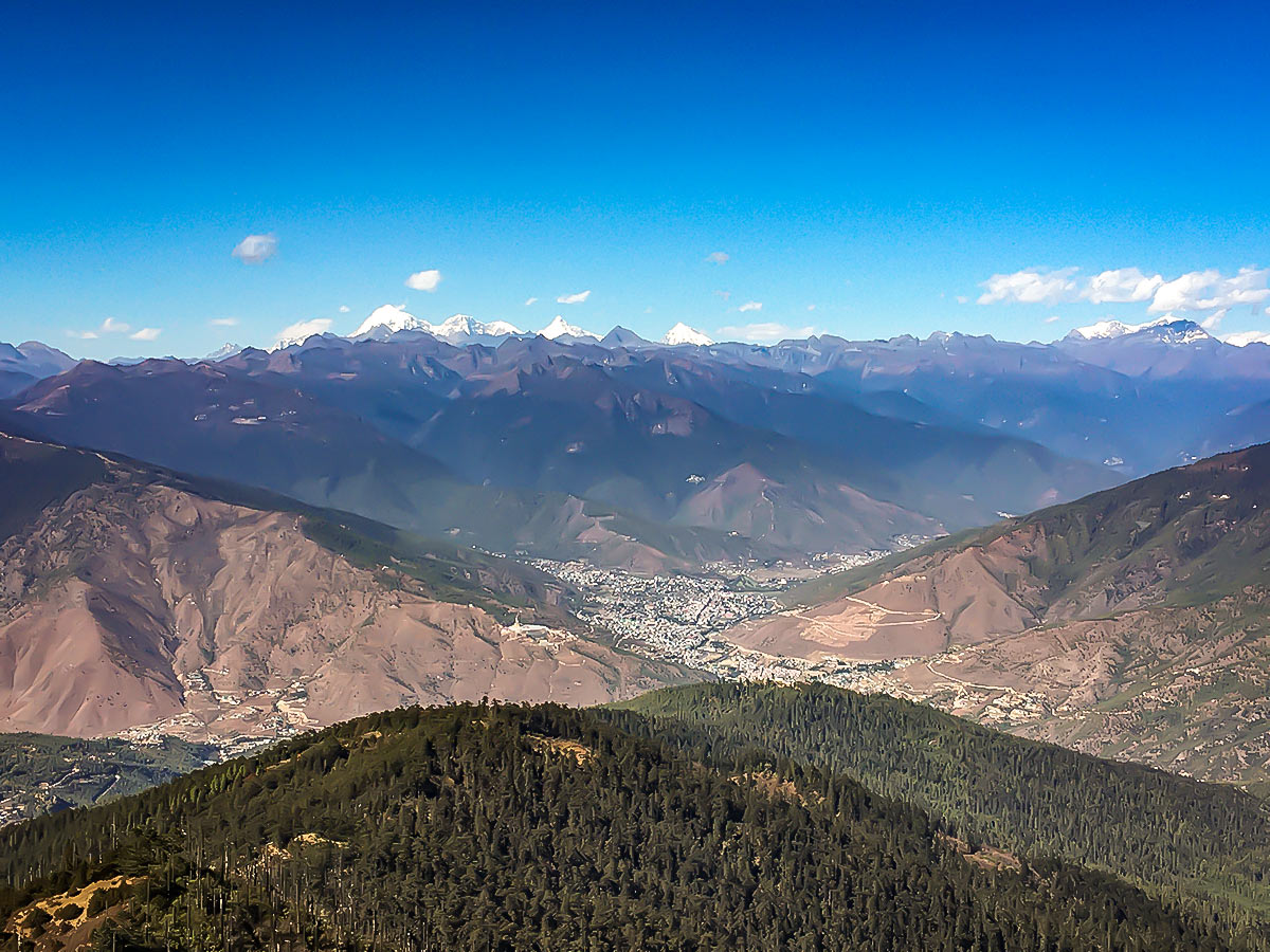
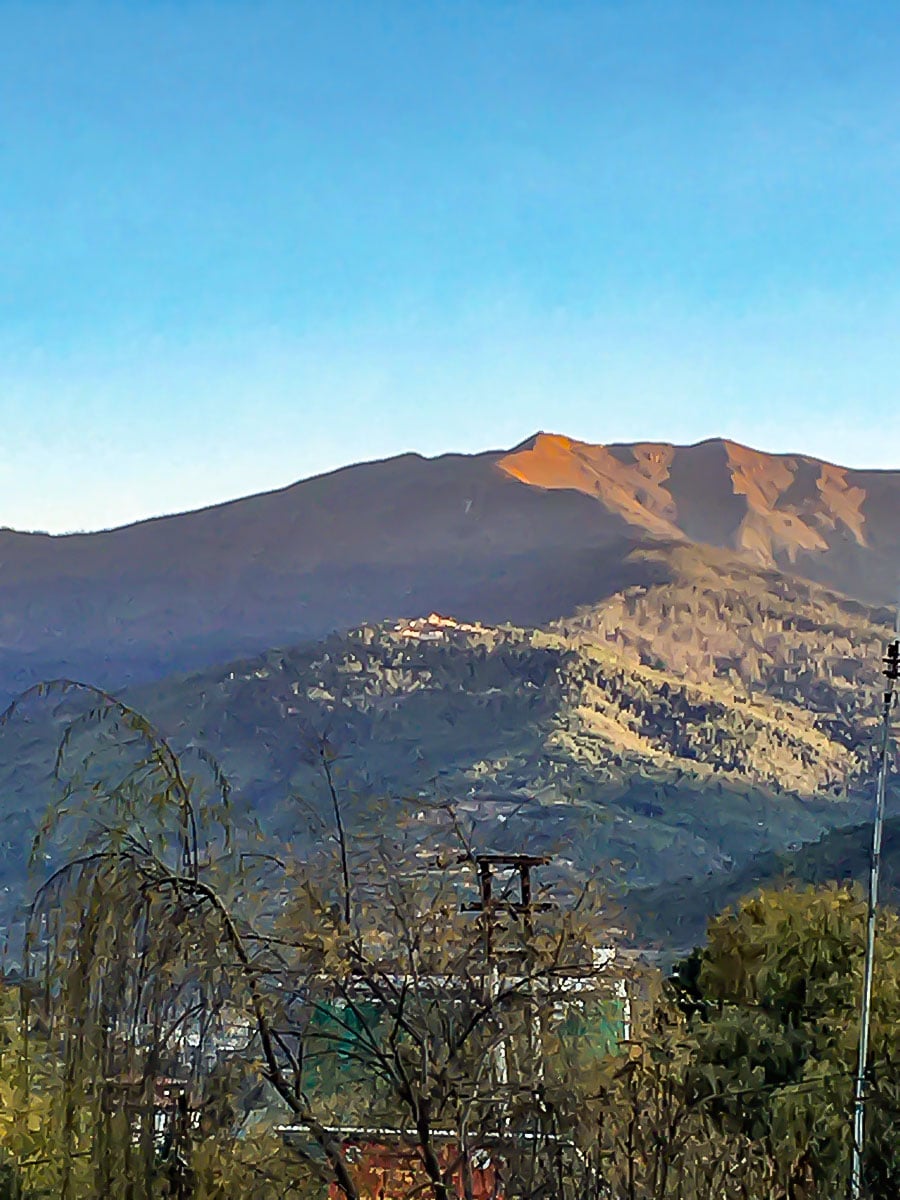
If you stand in the center of Thimphu and look south you’ll see a monastery on a distant ridge. Above that ridge is Talakha peak and is the highest peak in Bhutan you’re allowed to climb. Most of the mountains here are sacred and are homes to deities whom you do not wish to disturb.
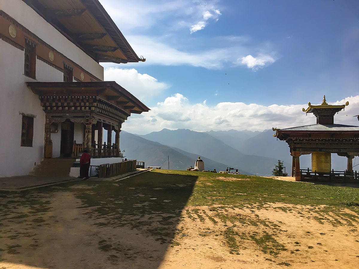
The start point for this trek is the Talakha Monastery itself. Take a taxi from the long-distance stand in Thimphu. Aim to take a bolero as the road is not sealed. The trip will likely cost around Nu3000 return.
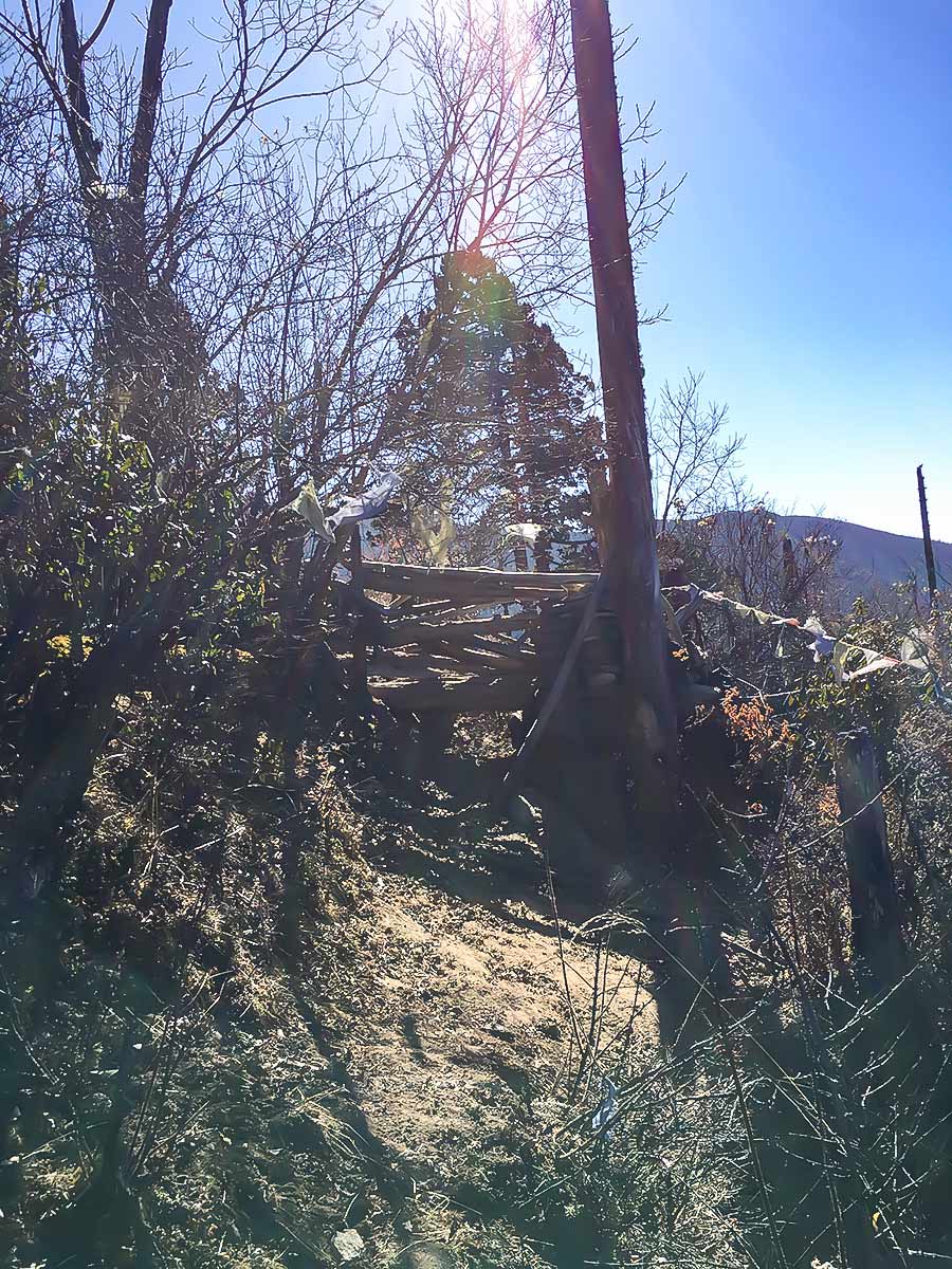
The monastery itself provides a stunning view of the Thimphu valley, and you may be able to catch a glimpse of the Dochula pass, but know that more vistas will unfold the higher you trek. Begin your journey by walking through the monastery and taking the path from the back, through the archery ground. Be prepared to have a dog escort of 10 or so—they’re pretty good to have with you as they chase the yaks and other animals that may step into your path.
If you do come across a yak, make a “ssssshhhhhhtttt” sound and do big movements with your arms. They will likely trot away. Please note that bears live in this area as well.
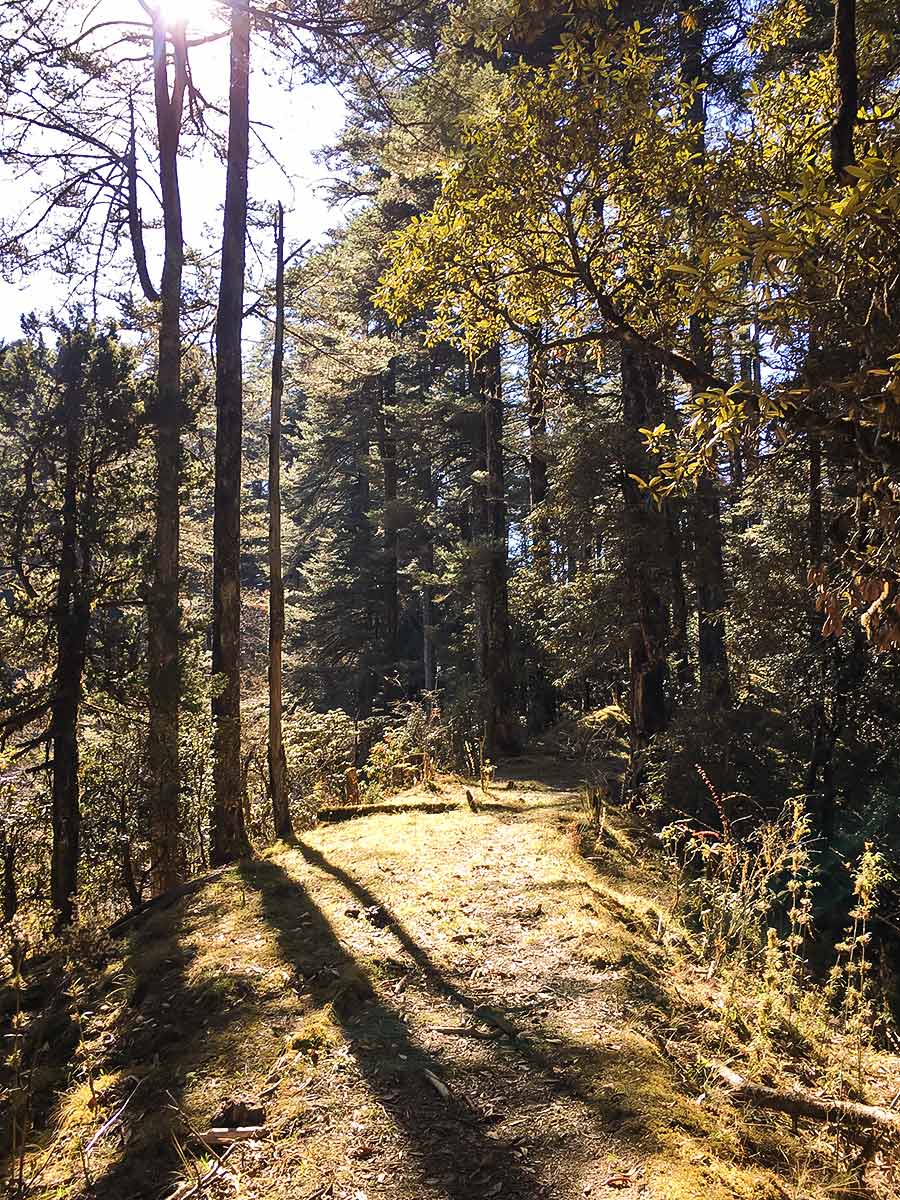
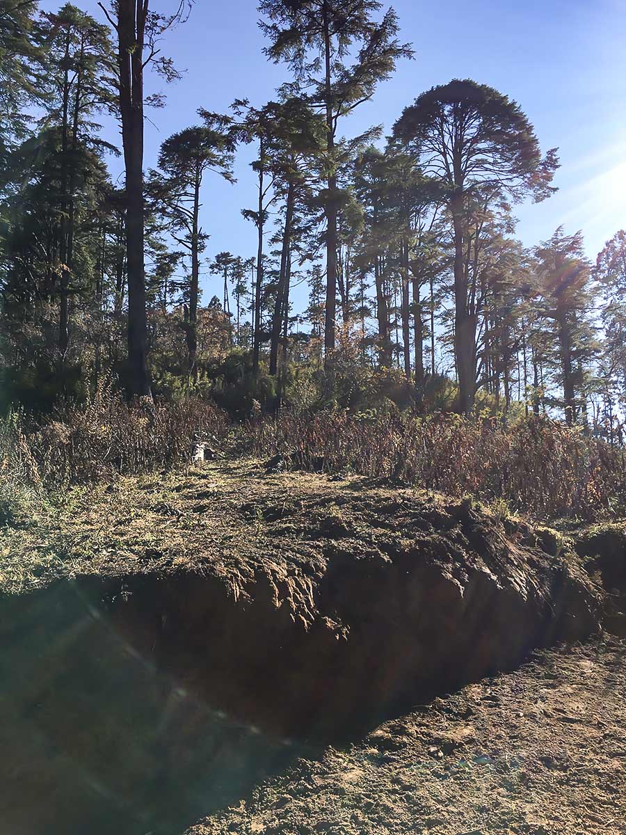
The initial path will take you through bamboo and will wind through some logging sites. Eventually, the path comes out at a dirt road, turn right up the road and look for a path heading left up the mountain. It might not be very clear, depending on the season, and it isn’t marked. From then on, the path only goes one way: up. Even if it looks like it’s splitting, it will meet up on the ridge.
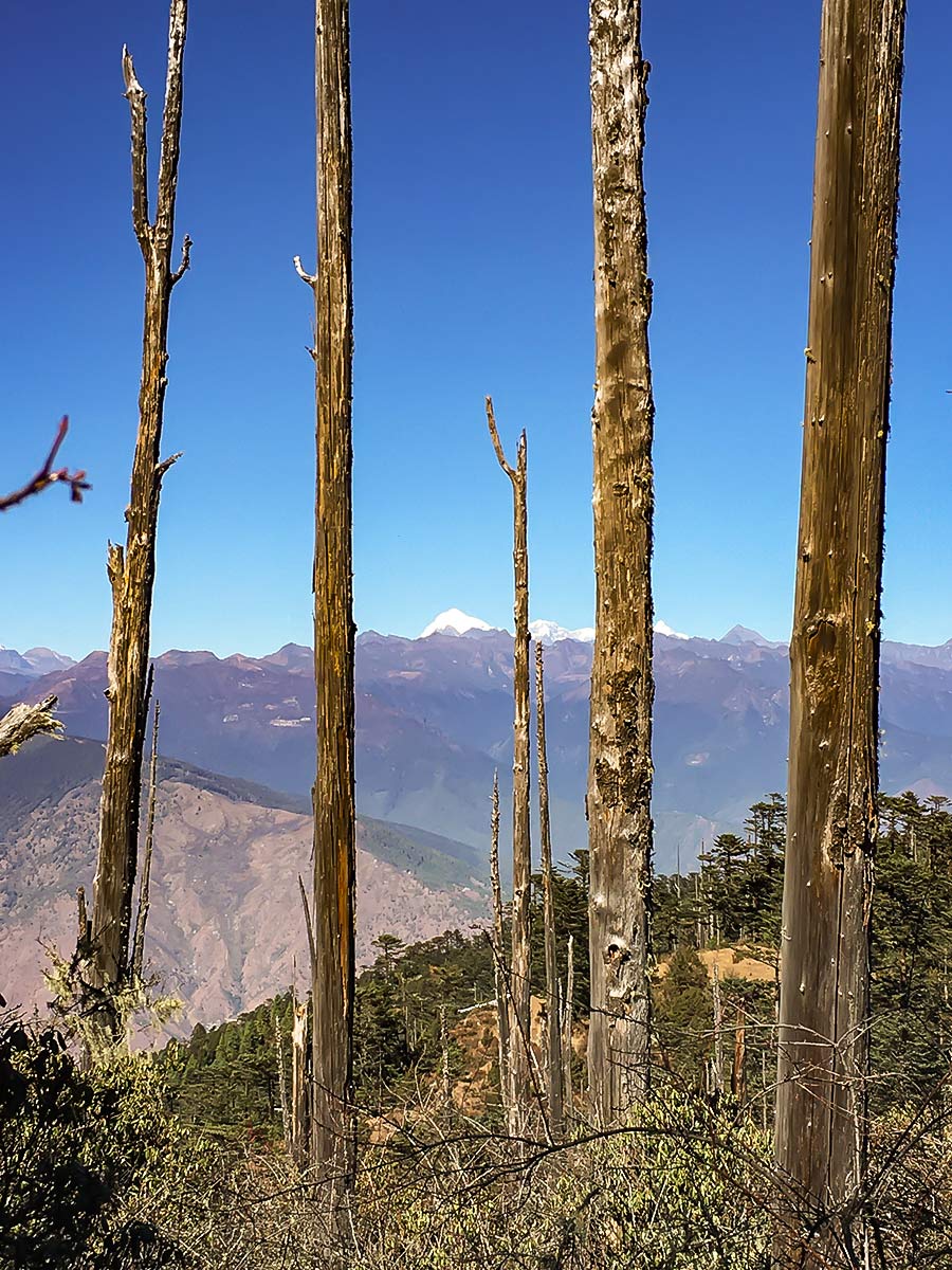
There are a few barriers made from sticks along the way, they are easily traversed to the left or right. There are also some good stopping points for snacks and pictures. As with other walks in Bhutan, it will be markedly different depending on the season. In the summer, you’ll likely see rhododendrons blanketing the area. While in winter, it’s much more dusty and sparse, but that affords a spectacular vista of snow-capped mountains.
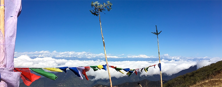
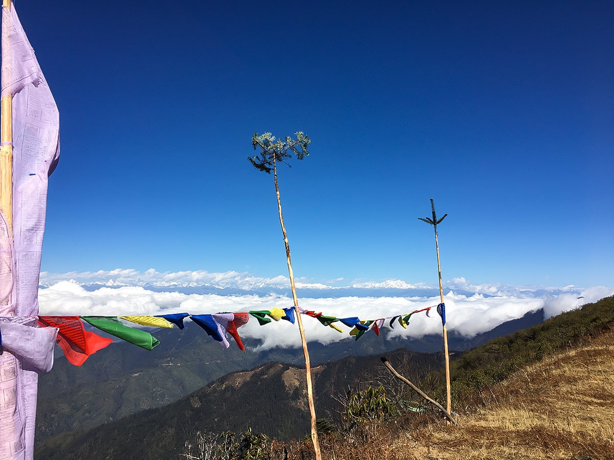
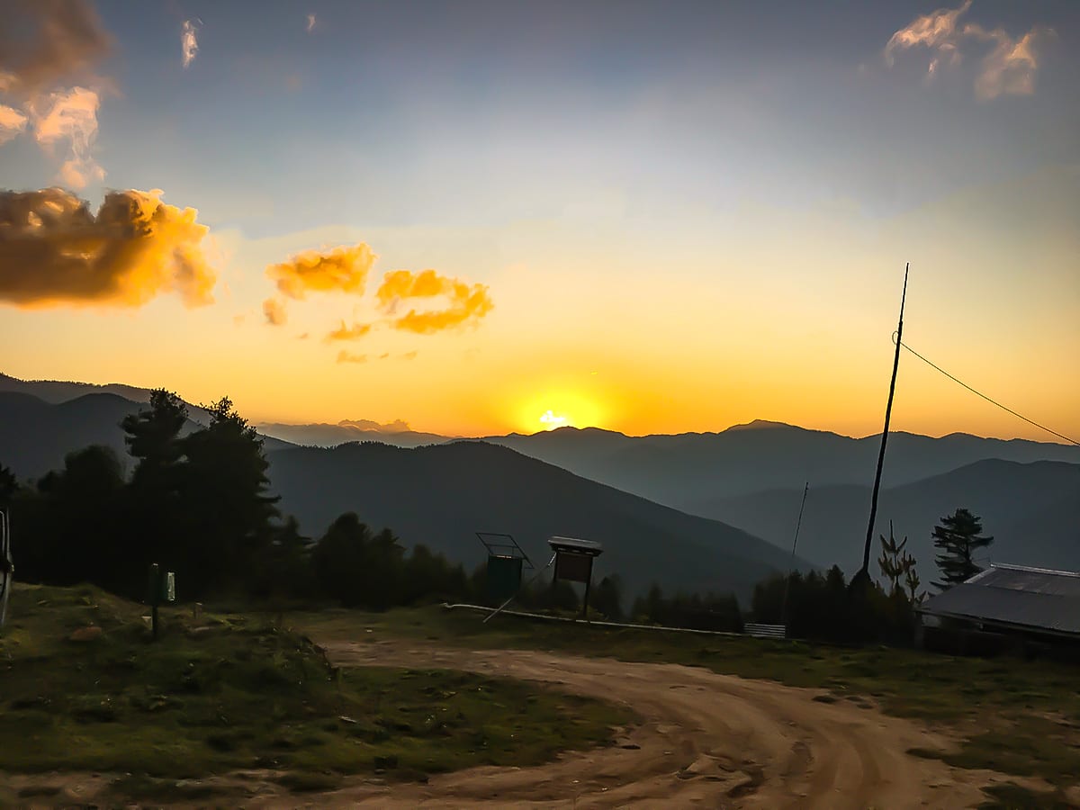
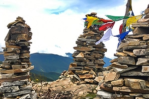
You can either stop near the summit at about 13123ft and eat lunch under the prayer flags or walk the remaining 492ft to the peak. It will depend on energy levels and how much daylight you have left. Keep to the ridge on the way down. The trickiest part is finding the path from the road down to the monastery. If you get lost, the road will lead you down to the Basic Health Unit about half an hour from the monastery, on the way back to Thimphu. 7
Insider Hints
It’s always good to start early, but for this particular walk it can be really vital, especially if you’re going in the cooler months when the days are short. It’s an hour from the taxi stand in Thimphu to the start point, so leave enough time for that.
Take plenty of water on this walk. Hiking along the ridge means you are mostly in the sun and there are no water stations on the trail.
Pack for all eventualities – wind, cold, hot, dry, rain. Even if it looks fine in the morning, the weather can quickly change and there’s little shelter on the peak.

Similar hikes to the Talakha hike
Chele La Pass
Exploding with an unspoiled, hushed ambience, the scenery blanketing Chele La Pass envelops any trekker. Depending on what time of…

Dodeydrak Monastery Hike
The Dodeydrak Monastery Hike embodies a more rural, off-the-beaten-path vibe. Mingle with the locals as you make your way to…
Phajoding Monastery
The Phajoding Monastery Hike will take you along a well-worn track, peppered with locals, horse teams, and a few other…
Amir Gutierres 4 years ago
Amazing place with beautiful wildlife. We saw some yaks around the area.
Joseph Marcus 5 years ago
10 out of 10. I highly recommend this trail to veteran hikers. The topography was very fascinating, and the views were refreshing to look at.
Joshua L. 5 years ago
The steep ascend was very challenging and required a lot of stamina. Bring enough water and snacks to cover the entire hike.
Sissle Y. 6 years ago
Nice hike! The bamboo tree pathway was my favorite.