
Devil's Staircase Walk
View Photos
Devil's Staircase Walk
Difficulty Rating:
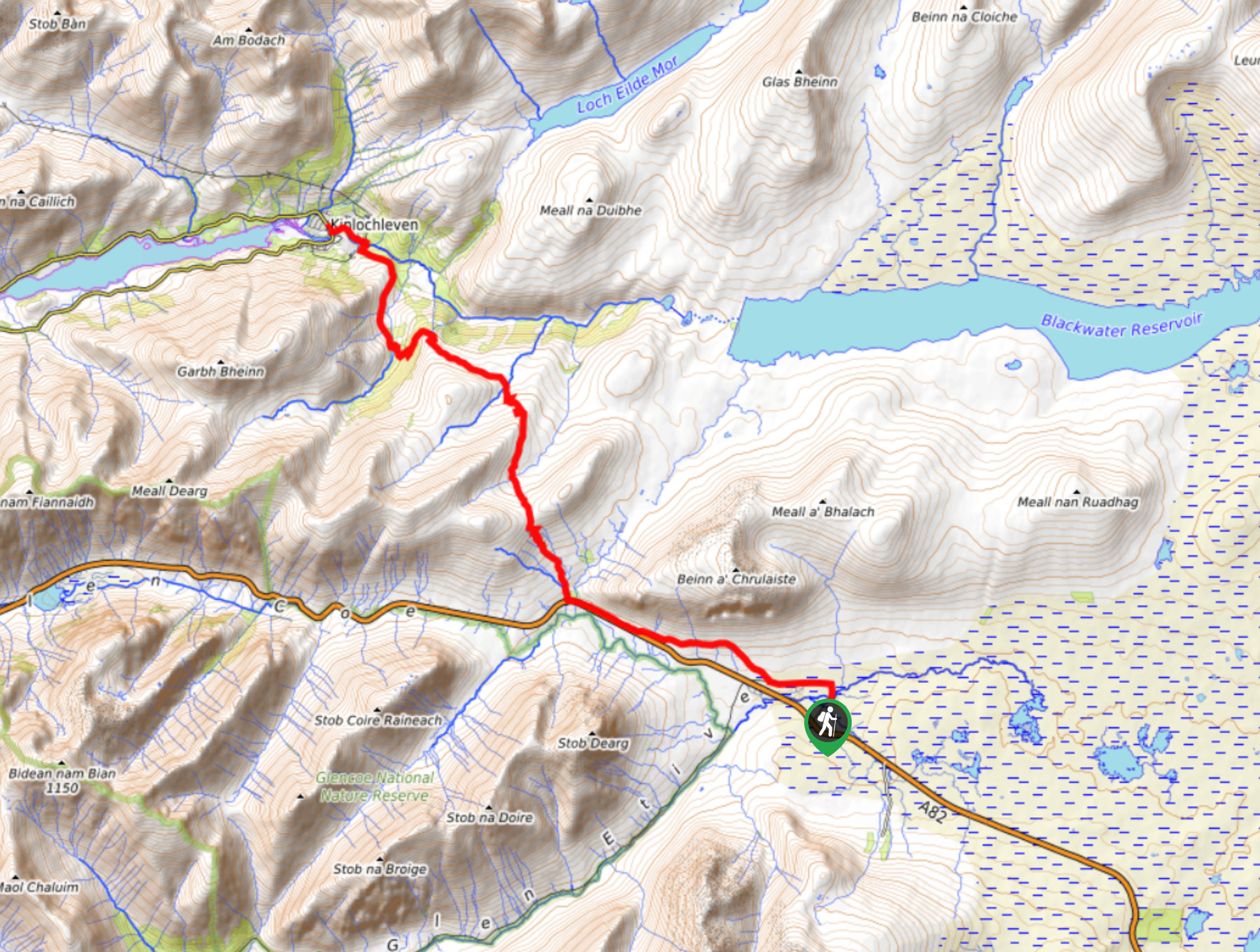
The Devil's Staircase Walk travels from Kings House to Kinlochleven along the famed long-distance route, the West Highland Way. Of course, this description only describes a small section of the West Highland Way, but it is definitely one of the highlights as it climbs to the highest section of the entire route. You can also easily turn this into an out-and-back route as you’ll summit the Devil’s Staircase early on in your adventure.
Getting there
The Devil's Staircase Walk starts from Kings House hotel, along River Etive.

About
| Backcountry Campground | No |
| When to do | May-October |
| Pets allowed | Yes - On Leash |
| Family friendly | Older Children only |
| Route Signage | Good |
| Crowd Levels | Moderate |
| Route Type | One Way |
Devil's Staircase Walk
Elevation Graph
Weather
Devil's Staircase Walk Description
The Devil’s Staircase Walk travels to a stunning viewpoint overlooking the rugged, wild Highlands. While you’ll encounter some rough and stony sections along the way, the terrain isn’t super technical, making this a great choice for anyone looking for a moderate route. This is also a one-way route! You’ll need to organize transportation to get back to your car, or you can turn around and retrace your steps after summiting the Devil’s Staircase.
Expect an unveiling of unruly, unforgettable Highland scenery on the Devil’s Staircase Walk, such as Buachaille Etive Mòr attracting eyes in the backdrop, stunning views of the Glencoe mountains after climbing Devil’s Staircase, and the moody Blackwater Reservoir. It’s hard not to fall in love with this moderately challenging walk in the Highlands!
Setting out from Kings House hotel, you’ll cross the stone bridge behind Kings House towards a minor road. Follow the road and take a left at the junction to follow Wade’s military road to Glencoe, with the lofty Buachaille Etive Mòr taking over your sightline. As you walk, look for a stile to your right and then take the rough track to descend the glen, where you’ll encounter a house at Altnafeadh. At this point, you’ll still hear the hum of vehicles on A82. Eventually, the path takes you across a bridge to kickstart the climb up Devil’s Staircase. Veering north, you’ll start to zigzag along Devil’s Staircase towards the cairns at the top.
You’ll know you’ve reached the summit when you arrive at two cairns (1804ft); you have just ascended 1001ft since the start of your walk. Pat yourself on the back and soak in the views of the Glencoe mountains. If you want, you can always turn around and head back the way you came! If you’re continuing along, keep north to descend and cross a burn via stones. Eventually, Blackwater Reservoir will emerge on your right. This dam was built in 1909!
As you continue making your way to Kinlochleven, you’ll catch an array of stunning views, including Ben Nevis painting a pretty backdrop. The path dips towards a bridge stretching across Allt a’ Choire Odhair-mhoir. Expect some undulations as you continue. Eventually, you’ll take a left, heading towards a view peering down into the village. But, the route is further down than it seems. So don’t get your hopes up! Follow the stony path dipping down towards a bridge, and then the path will elevate momentarily before taking you to another great viewpoint.
Soon, another track will join yours. Continue along to reach a steeper descent along the pipes. After the path crosses the pipes, it will eventually veer left. Keep straight to continue along the West Highland Way. The stony path goes to a bridge crossing River Leven. After crossing, go left. Continue walking until you reach a junction. Go left here to pass a green shed. This path leads you to Wade’s Road. Keep along this until you see a signed path jetting left directly across from a bus stop. Go onto this path and continue walking by the river towards Lochaber Road, which is where your journey ends!
Trail Highlights
Devil’s Staircase
You’re probably wondering, “Why is it called Devil’s Staircase?” Well, there’s a story behind it! When workers were building the Blackwater Dam, they decided to reward themselves by venturing to the nearest pub, Kings House, but the journey back along Devil’s Staircase, especially in cold weather, resulted in fatalities due to drunkenness and the chilly temperatures.
Blackwater Dam
The Blackwater Dam, built in 1909, holds a lot of history! This water source is more than 8.1mi long, and its purpose was to generate electricity for the aluminum smelters in Kinlochleven.
Insider Hints
You can turn the Devil’s Staircase Walk into an out-and-back route if you don’t want to finish the one-way journey.
Kinlochleven boasts several hotels, hostels, and campsites tailor-made for those walking the West Highland Way, making it easy to book a spot for the night.
Similar hikes to the Devil's Staircase Walk hike
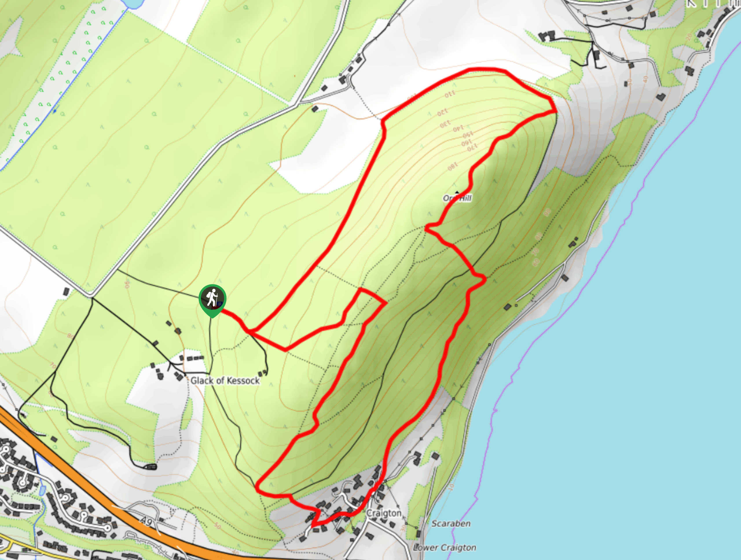
Ord Hill Walk
If you still have some gas left in the tank or have a day between activities in the Highlands and…
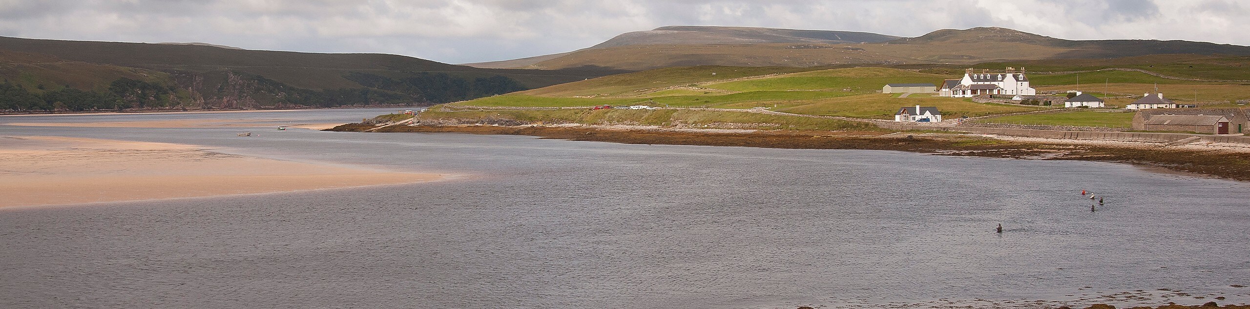
Kyle of Durness Circular Walk
The Kyle of Durness Circular Walk packs a punch when it comes to the scenery! Gaze out into the coastline,…
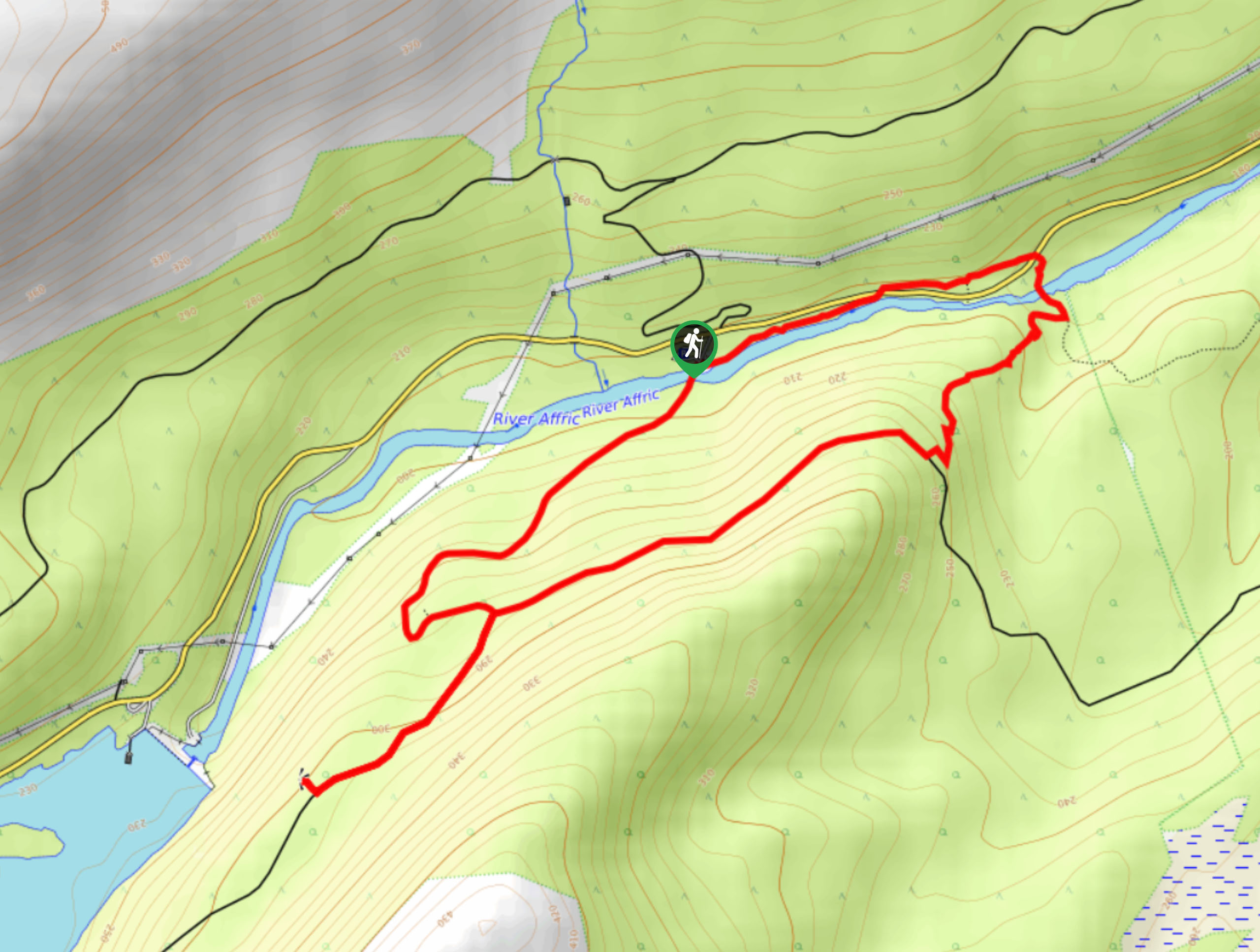
Dog Falls Walk
The Dog Falls Walk boasts a lovely, serene setting, punctuated by a waterfall, River Affric, and a stunning view of…
Comments