
Sassopiatto and Sassolungo hike
View Photos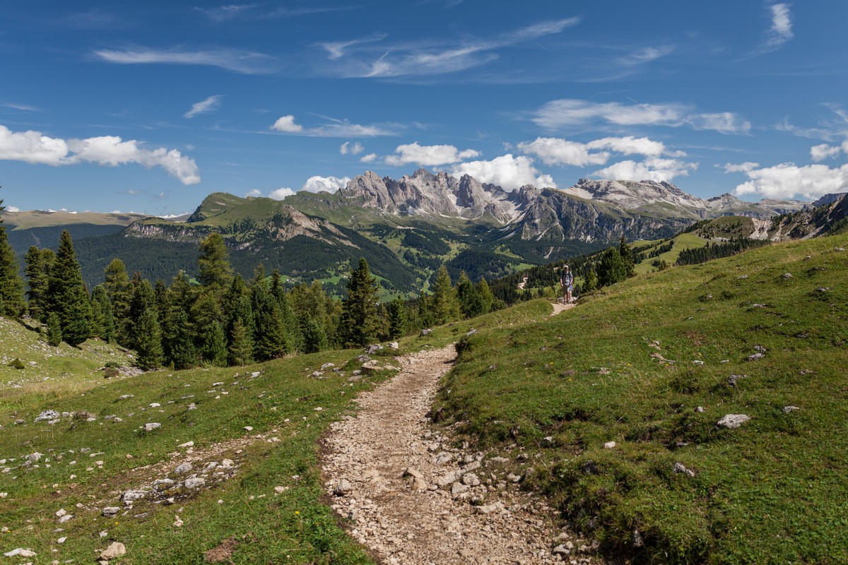
Sassopiatto and Sassolungo hike
Difficulty Rating:
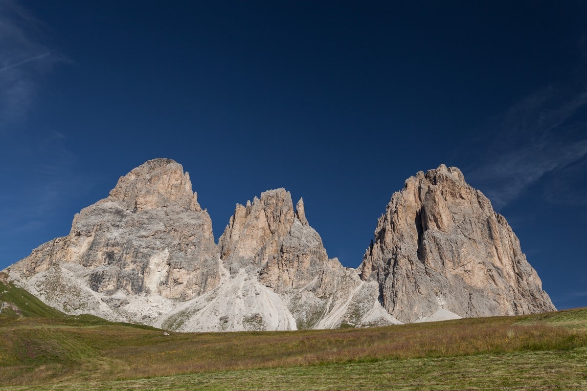
The circumnavigation around Sassopiato and Sassolungo is a great hike in the Dolomites. If you can handle a longer walk in order to experience stunning natural beauty, this hike is suited for you! This giant massif stands alone, giving you unimpeded, 360° views. It’s remarkable.
Getting there
From Ortisei, the SS242 to Passo Sella. Park next to the Passo Sella Dolomiti Hotel.

About
| When to do | Mid April to Early October |
| Backcountry Campsites | No |
| Toilets | Yes, in the huts |
| Family friendly | No |
| Route Signage | Average |
| Crowd Levels | High |
| Route Type | Circuit |
Sassopiatto and Sassolungo
Elevation Graph
Weather
Route Description for Sassopiatto and Sassolungo
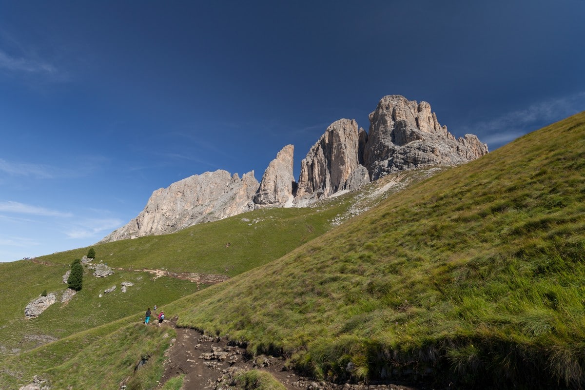
From the parking lot at Passo Sella, go towards the hotel. You will see different paths starting from the area around the hotel, you want to take the Friedrich August path, number 557, and keep following it.
Near the start you will find two Rifugios, Rifugio Carlo Valentini and Rifugio Salei. Pass them and then the elevation gain really kicks in. You’ll soon pass another Rifugio, Rifugio Friedrich August Hutte.
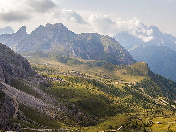
While you walk, on your right you’ll have the Sassolungo massif, and on your left Marmolada. Behind you you will see Passo Sella, and Passo Pordoi will be in front of you. After all of your elevation gain, you will see a peak called Col Rodella.
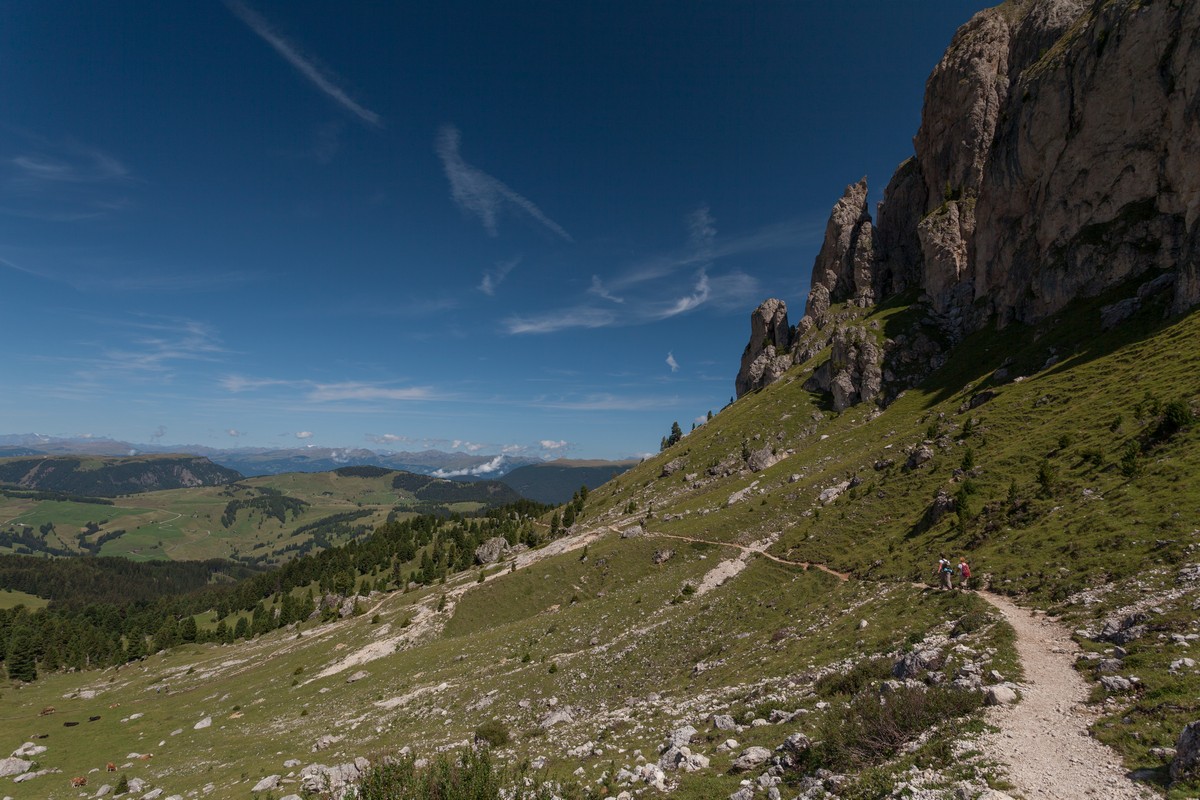
Stay on the well signed path. You may hear several marmot whistles and, if you’re lucky enough, you might catch a glimpse of one! Along the way, you’ll pass Rifugio Sandro Pertini.
Once you have arrived at Rifugio Sasso Piatto, you have to go through the fence, which is always open, and follow the 527 path. DON’T follow the Sassopiatto path. That path will hike you up a mountain!
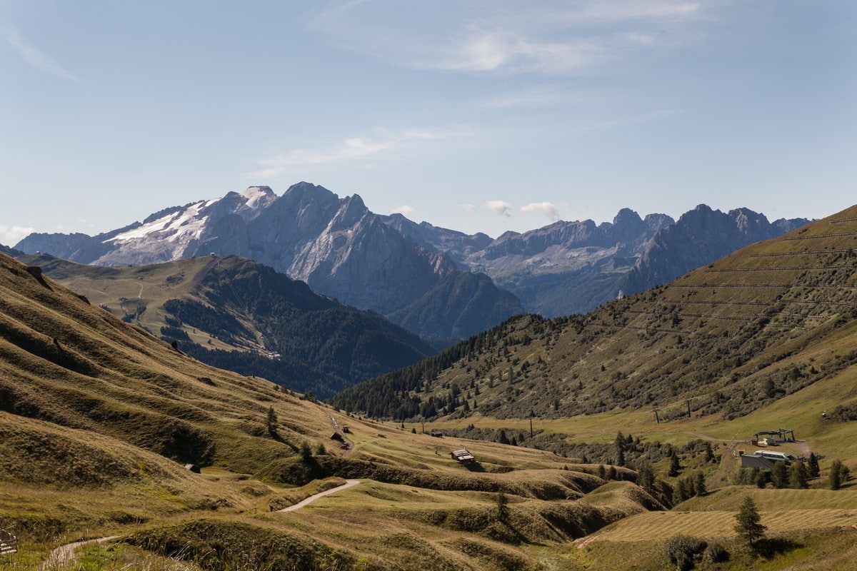
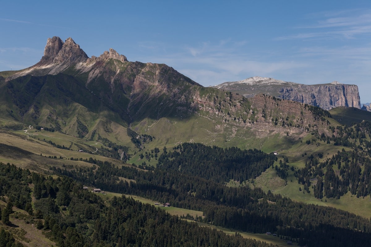
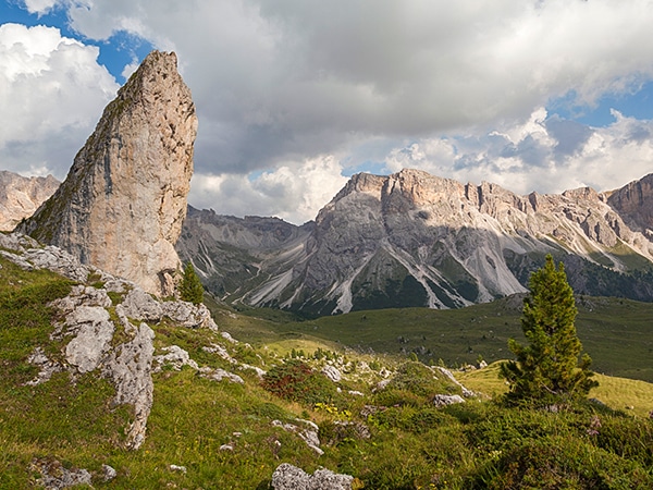
The 527 path will descend for a while, and you will be able to see the Catinaccio massif and the Sciliar massif in front of you. You will continue through a pine forest that has been through some landslides. It’s a unique looking landscape.
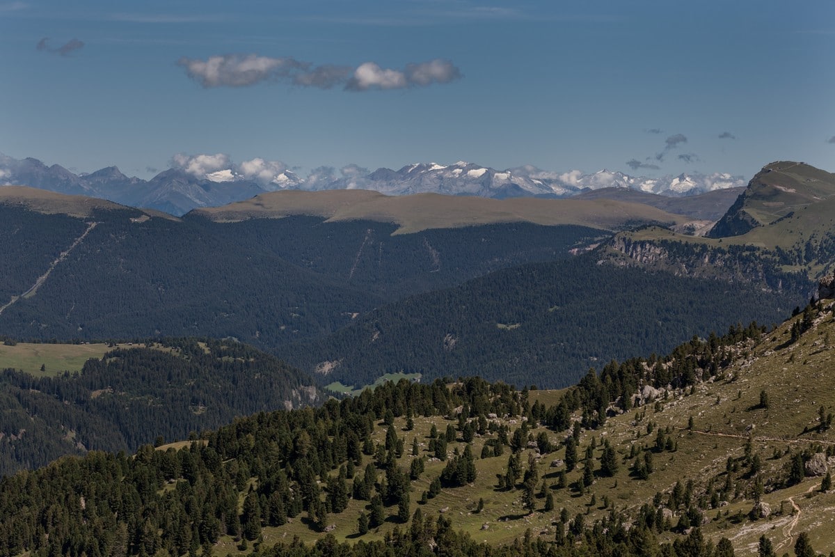
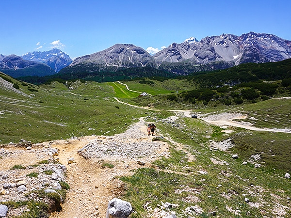
Continue hiking around to the other side of the mountain. Once around the Sassopiatto mountain, you’ll start to see the Odle mountains. Keep along the path for a while. Eventually, you’ll arrive at a crossroad. Continue in front of you. You’ll be following the 526 path.
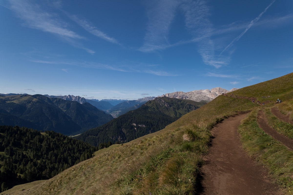
Curve around the mountain, eastward. Eventually you will see some ski-lifts, as your turn to the south. From here you will be able to see again the Sella Towers mountains. Go south until you arrive at the Hotel Passo Sella Dolomiti.
Insider Hints
Being a circuit, the path can be done both ways. We strongly advise you to go clockwise, as it’s easier and the views you get are better than counter clockwise.
The hike itself is not so difficult, just long and it can be hot in summer. Many families are able to do it. Nevertheless, kids may get tired before you.
Though it is a beautiful path to do in summer, it can get quite busy.

Similar hikes to the Sassopiatto and Sassolungo hike
Nuvolau
A hike around the Nuvolau peak gives you views of some of the most beautiful mountains and rock formations in…
Seceda / Puez Odle
Walking in the Puez Odle Natural Park is stunning. This hike takes you above Santa Cristina Val Gardena and Ortisei.…
Alpe di Sennes
Walking the Alpe di Sennes is a wonderful circuit that takes you through a variety of different, stunning landscapes. Taking…
Gunther 3 years ago
Nice trail . restos only in the beginning and at the end , we did it clockwise, so lunch around 15h, and we started @9.00h. 6h50 total time, with lunch included 7h45 total time.
TutiDulce 4 years ago
Magnificent view and demanding ascent
Antoanette Lavroutte 4 years ago
This Beautiful hike will take you a long time to finish, make sure to stop and rest for snack and water.
Raymond G. 4 years ago
Magnificent views. A bit steep at the top, but worth it.
Johnny C. 4 years ago
It was an easy hike with plesant scenery along the way. There are beautiful landscapes and forest to enjoy.
Morgane qk 4 years ago
Fantastic hike but be aware it requires hard work, one thing for sure is that it is well worth it in the end.
Filip l. 5 years ago
Nice hike. Trails are pretty neat and accessible. Enjoyed it a lot.
Georgina Saxby 5 years ago
Beautiful hike and incredible views. Long day but easy enough to walk without being a very fit person
Georgina Saxby 5 years ago
Amazing and relatively flat hike. Long day but stunning 360 views of this incredible area. Family friendly
Jacob M. 5 years ago
The landscapes are so unique. I was grateful to be able to visit such an amazing place.