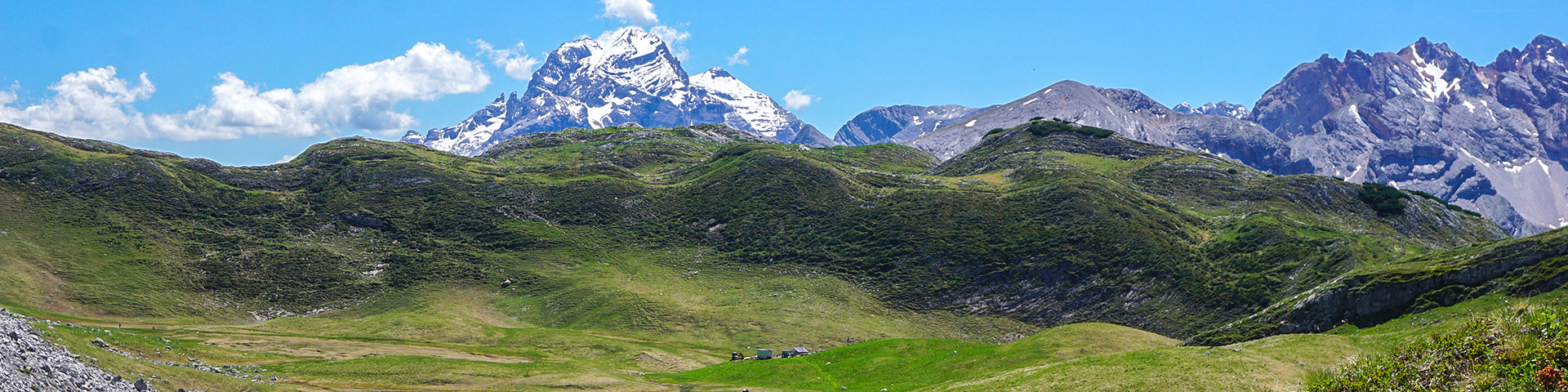
Alpe di Sennes hike
View Photos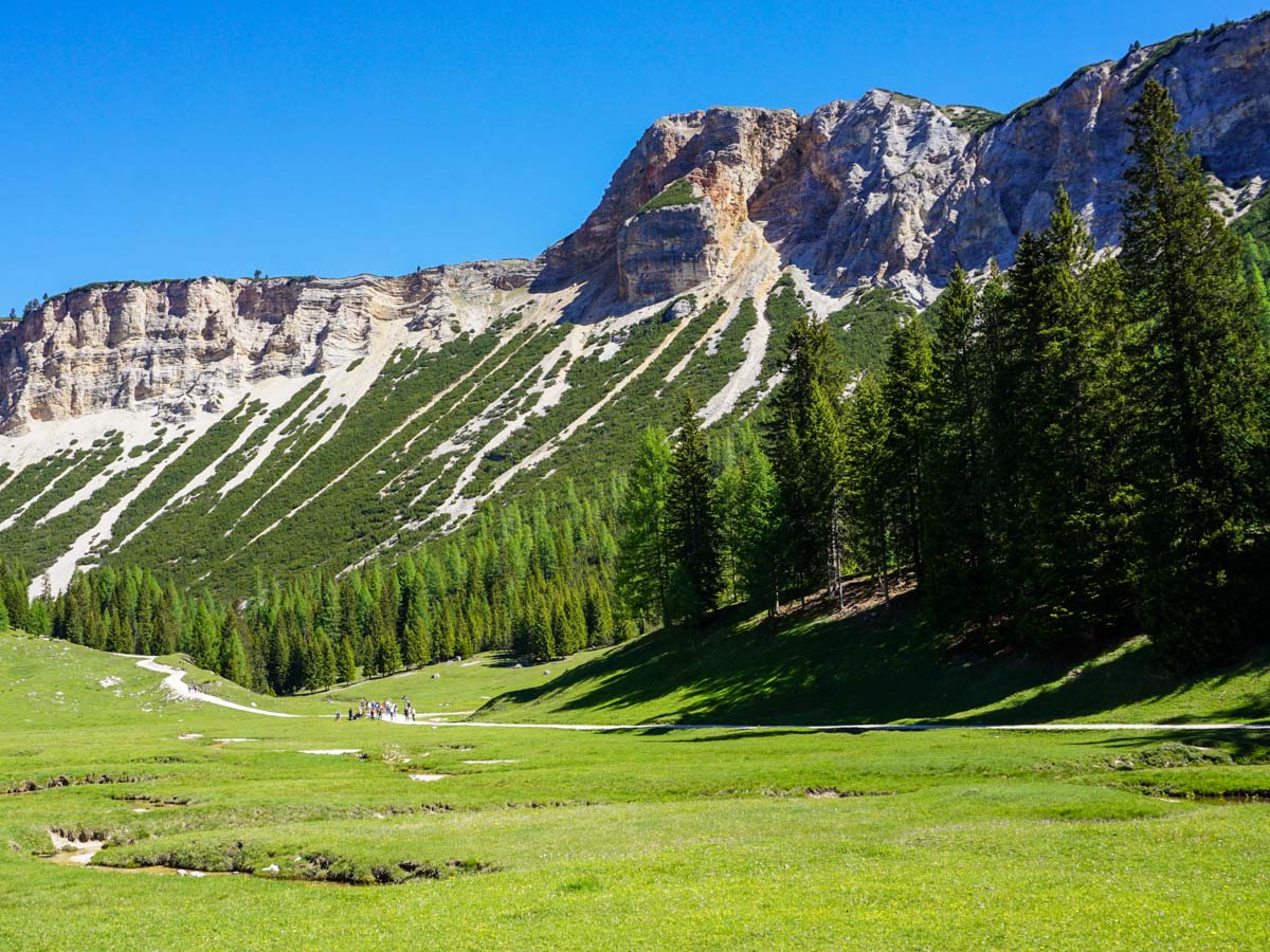
Alpe di Sennes hike
Difficulty Rating:
Walking the Alpe di Sennes is a wonderful circuit that takes you through a variety of different, stunning landscapes. Taking in three rifugios (Rifugio Senes, Rifugio Fodara Vedla and Rifugio Biella), there are lots of ways to shorten this walk, so it’s a great hike for adventurous beginners.
Getting there
This can be hard to find. Drive the SS51 roughly 8km north from Cortina. The entrance to the parking lot is right at the corner of a hairpin turn. Once here, you’ll either need to take a bus or you can drive up a 1.9mi narrow road (when driving on the road is allowed).

About
| When to do | May to September |
| Backcountry Campsites | No |
| Toilets | No |
| Family friendly | No |
| Route Signage | Average |
| Crowd Levels | Moderate |
| Route Type | Circuit |
Alpe di Sennes
Elevation Graph
Weather
Route Description for Alpe di Sennes
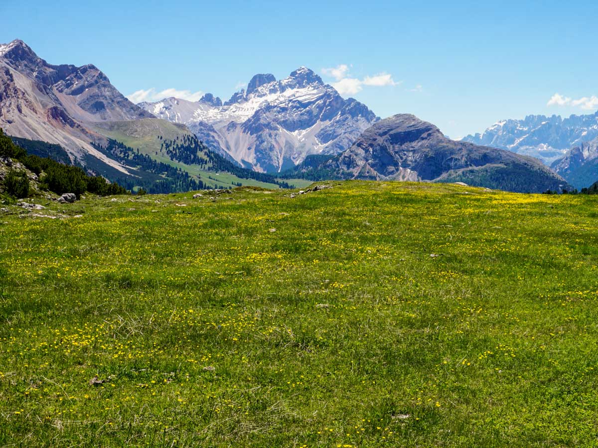
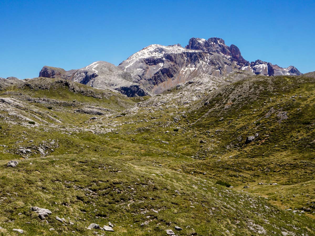
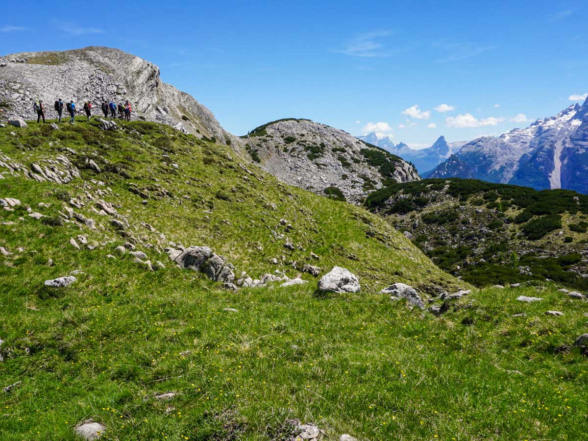
Start this walk early. It’s a popular one and the parking lots can fill up quick, especially the lot at Rifugio Ra Stua before the buses start. You’ll walk through two different parks on the route, starting in Parco Naturale delle Dolomite D’Ampezzo and then up to Naturpark Fanes-Sennes-Prags.
From the parking lot head towards the Rifugio and then up a broad 4×4 track. After roughly twenty minutes, you’ll come to a large clearing with a small chalet sitting at the far end. At the signposted-junction go left, taking the route signed to Rifugio Fodara Vedla. This route takes you up a series of switchbacks through a forest with enough shade and birdsong to make the ascent quite delightful. The views expand as you climb, and are a nice preview of what’s to come.
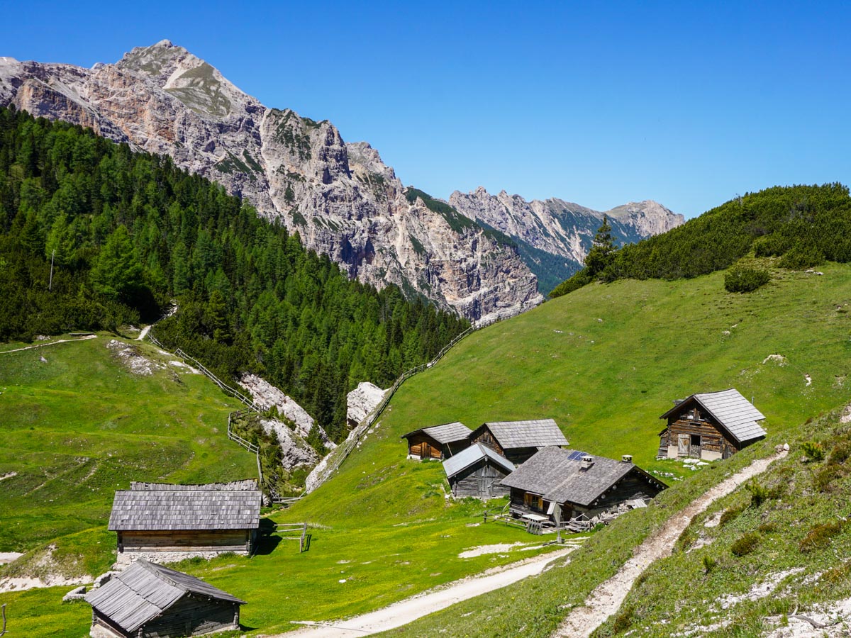
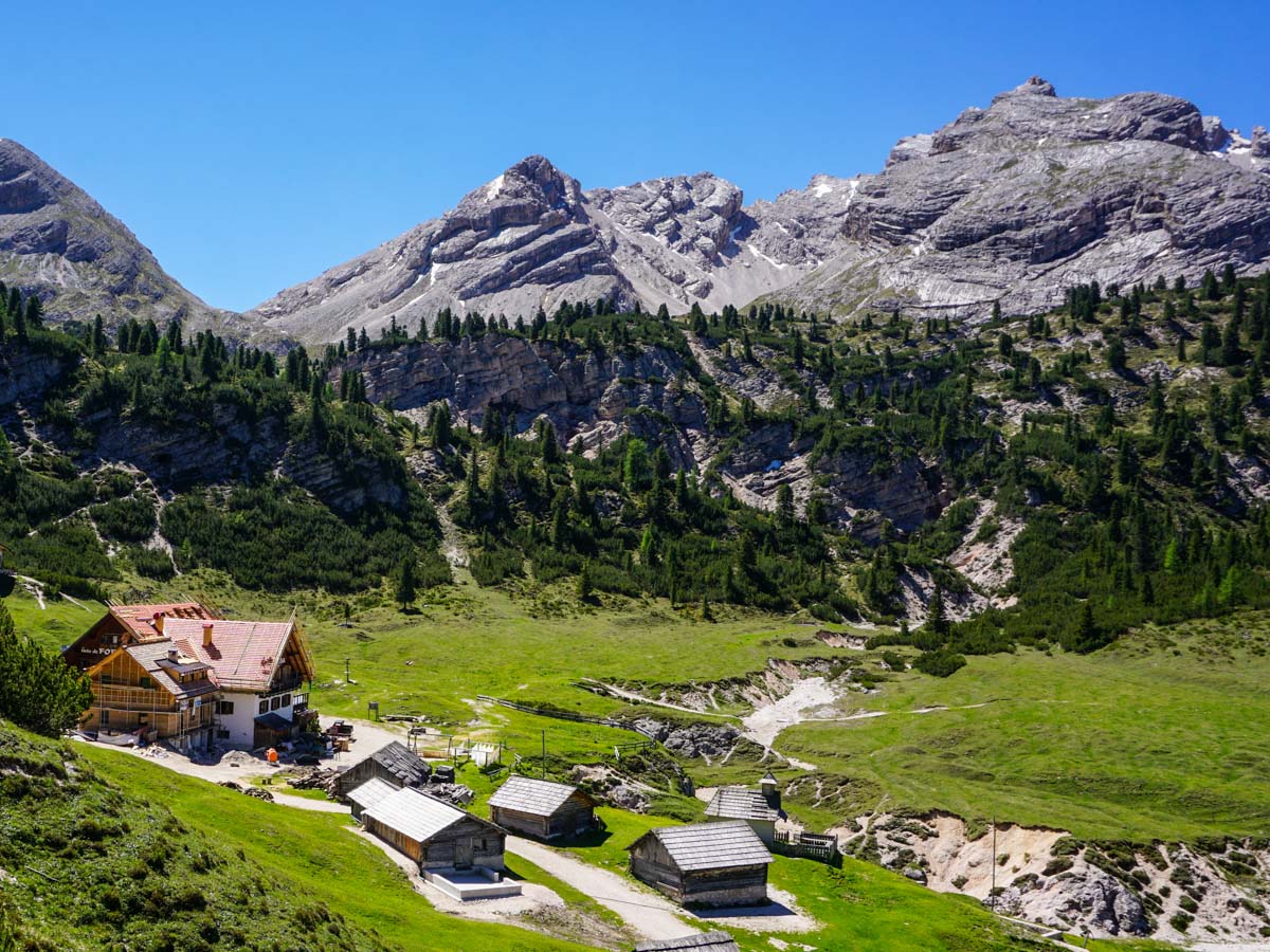
After 2.3mi you’ll come out of the woods into a basin with a fine view. Continue along the path, and when it splits take the smaller left-hand path. When this path comes to a meadow take the right-hand side and – in a minute – Rifugio Fodara Vedla comes into sight. This is a large Rifugio with many outbuildings. There are many people who come up to this Rifugio simply for a day of exploring the buildings and surrounding area.
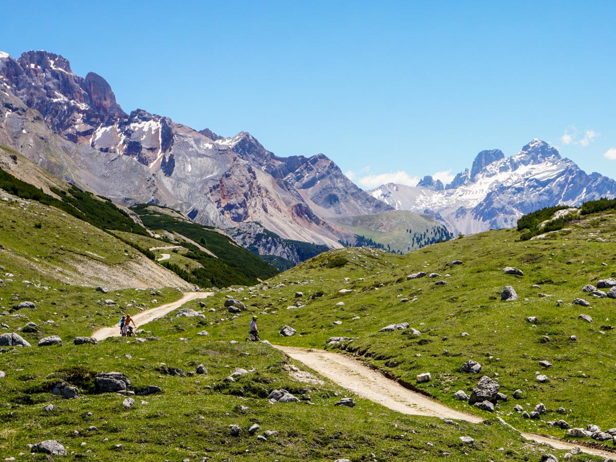
To continue along your journey, go around the Rifugio and head right to a signposted route to Sennes, which will take roughly one hour. You will soon join another 4×4 track before going right. After a few minutes take the path to the right, signed to “Sennes” and Route #7.
This path soon re-joins the 4×4 track where you go right again. After five to ten minutes, take a signed path off to the left to Sennes. Soon, you’ll cross over the 4×4 track and take a pathway with the Sennes Hutte, visible in the distance.
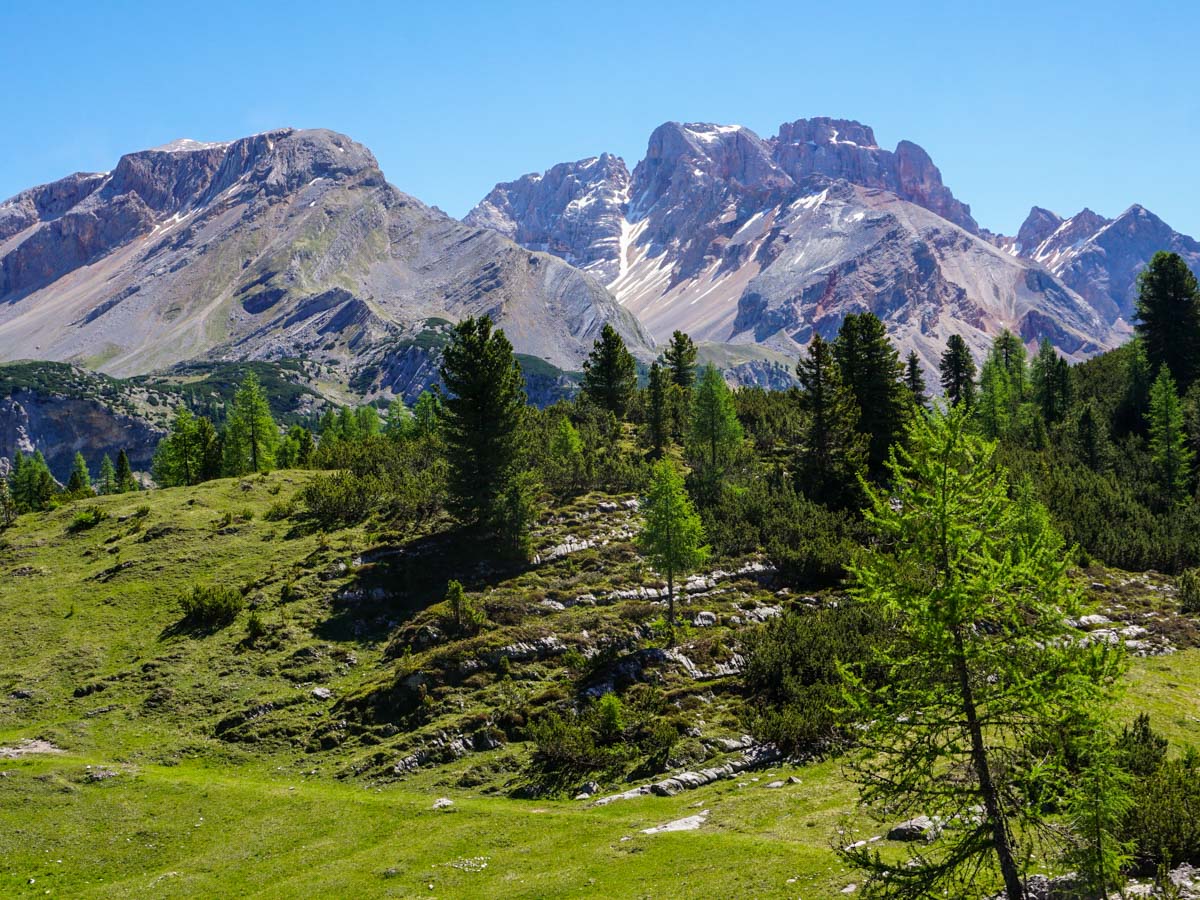
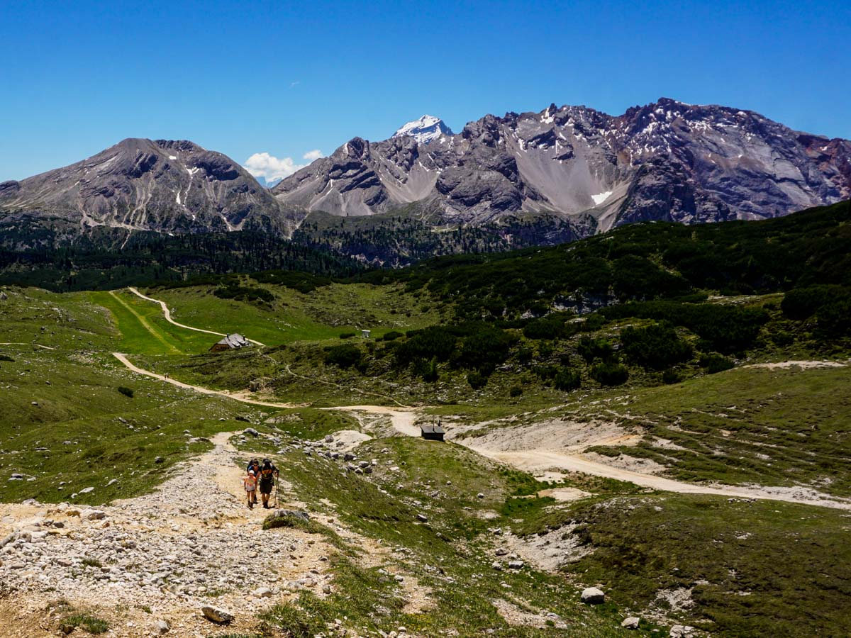
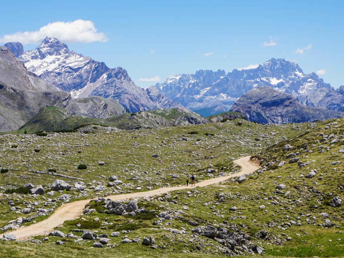
Pass the Rifugio on the right (or stop and have a delicious snack – if it’s not too busy), and continue uphill on yet another 4×4 track. You’ll soon come to a sign that points to Rifugio Biella (route 6A) and lists the time as 1h. After five to ten minutes, and before a small squat black building, take the path that goes off to the right, signed to “Rifugio Biella”. This path goes through some small hills with glimpses of peaks all around. This part of the walk is unique and enjoyable.
You will then start to descend. At 5.8mi you’ll come to a junction. Continue ahead towards the Rifugio on the hill.
Rifugio Biella opens later than the other two Rifugios on this walk and isn’t as popular, which is surprising considering the views from this Rifugio and back down the other side are perhaps the most spectacular of the day.
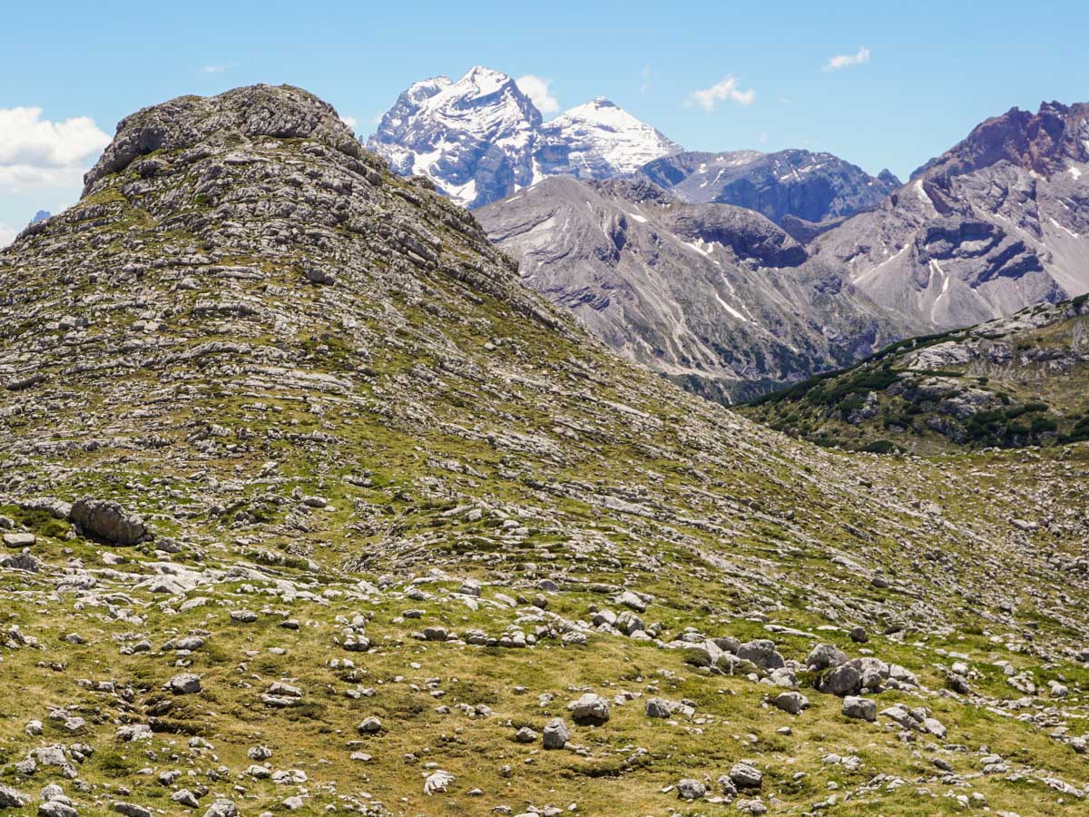
To continue your journey, there is a path below the Rifugio that goes down the valley. Take this path until you see an arrow pointing to left. Follow this arrow and future red and white paint splashes as you go down.
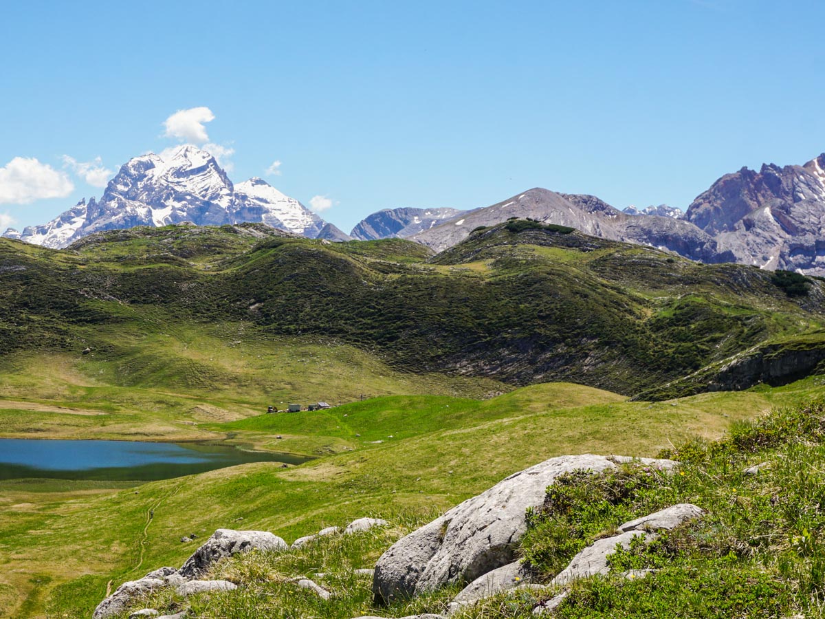
After about 45 minutes, you’ll reach the beautiful Lago Gran de Foses. This is the only tricky portion of route-finding. Once at the lake, it appears the route goes past the lake, but it actually contours the lake to the far end and then around to the left. Many people miss the actual route and there is now another, fainter route if you miss the original one. There is a structure being built at the end of the lake. Go to the left of the structure, and then go uphill through some boggy ground, eventually going over a wooded-crossing of some extra-boggy terrain!
At 8.3mi, you’ll pass a sign pointing out the route continuing and trending to the right. There’s another path from here going down to the left: DON’T take this (however it is faint, so you might not even notice).
From here it’s a downhill hike on a steep path. It’s easy to slide on the loose rocks, so watch out! As you descend, you will eventually see a 4×4 track in the distance, this is the route down from Rifugio Sennes. When you come to the 4×4 track turn left and head down the track, soon this path becomes the track you ascended on.
Insider Hints
Parking fills up early, often before the buses start, so get there early!
This is a popular area, and many people walk up to one of the Rifugios for lunch. They get busy, so if you want to move quickly take your own food and drink.

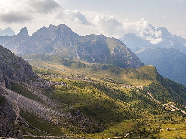
Similar hikes to the Alpe di Sennes hike
Nuvolau
A hike around the Nuvolau peak gives you views of some of the most beautiful mountains and rock formations in…
Seceda / Puez Odle
Walking in the Puez Odle Natural Park is stunning. This hike takes you above Santa Cristina Val Gardena and Ortisei.…
Sassopiatto and Sassolungo
The circumnavigation around Sassopiato and Sassolungo is a great hike in the Dolomites. If you can handle a longer walk…
Antoanette Lavroutte 4 years ago
Hiking into the Sennes Alps takes you into the heart of the Dolomites Natural Park.
Slavka Pochodi 4 years ago
Alpe di Sennes is In the heart of the Dolomites, Spectacular and rugged peaks rise up on all sides
RC-DC 5 years ago
The hike to Alpe di Sennes is a great hike in the Dolomites! Lots of great rifugios to eat at, but check they're open before going out. Some don't open until July.