Lago di Sorapis hike
View Photos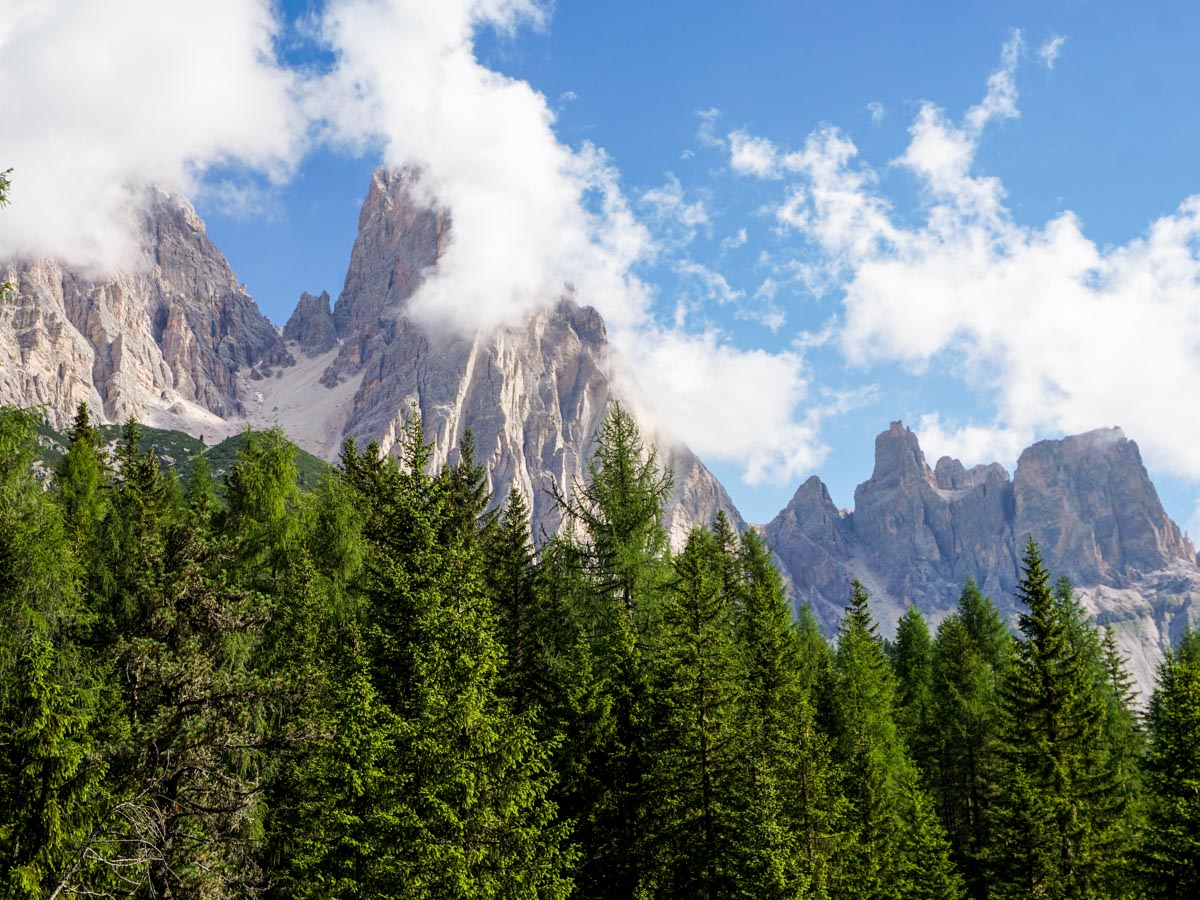
Lago di Sorapis hike
Difficulty Rating:
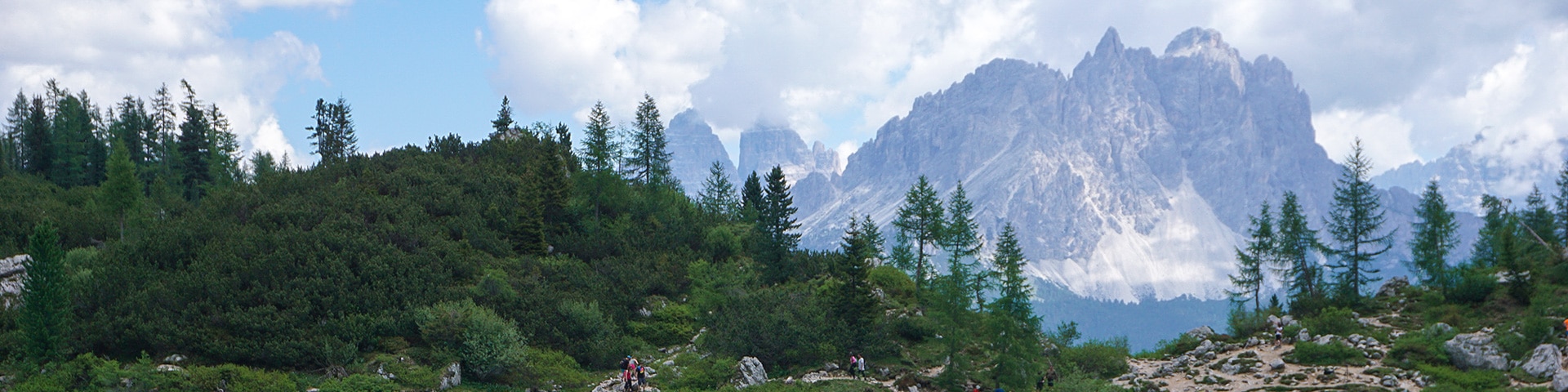
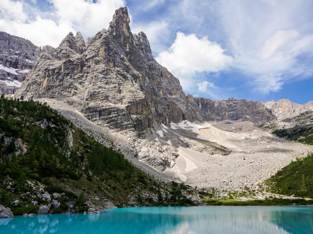
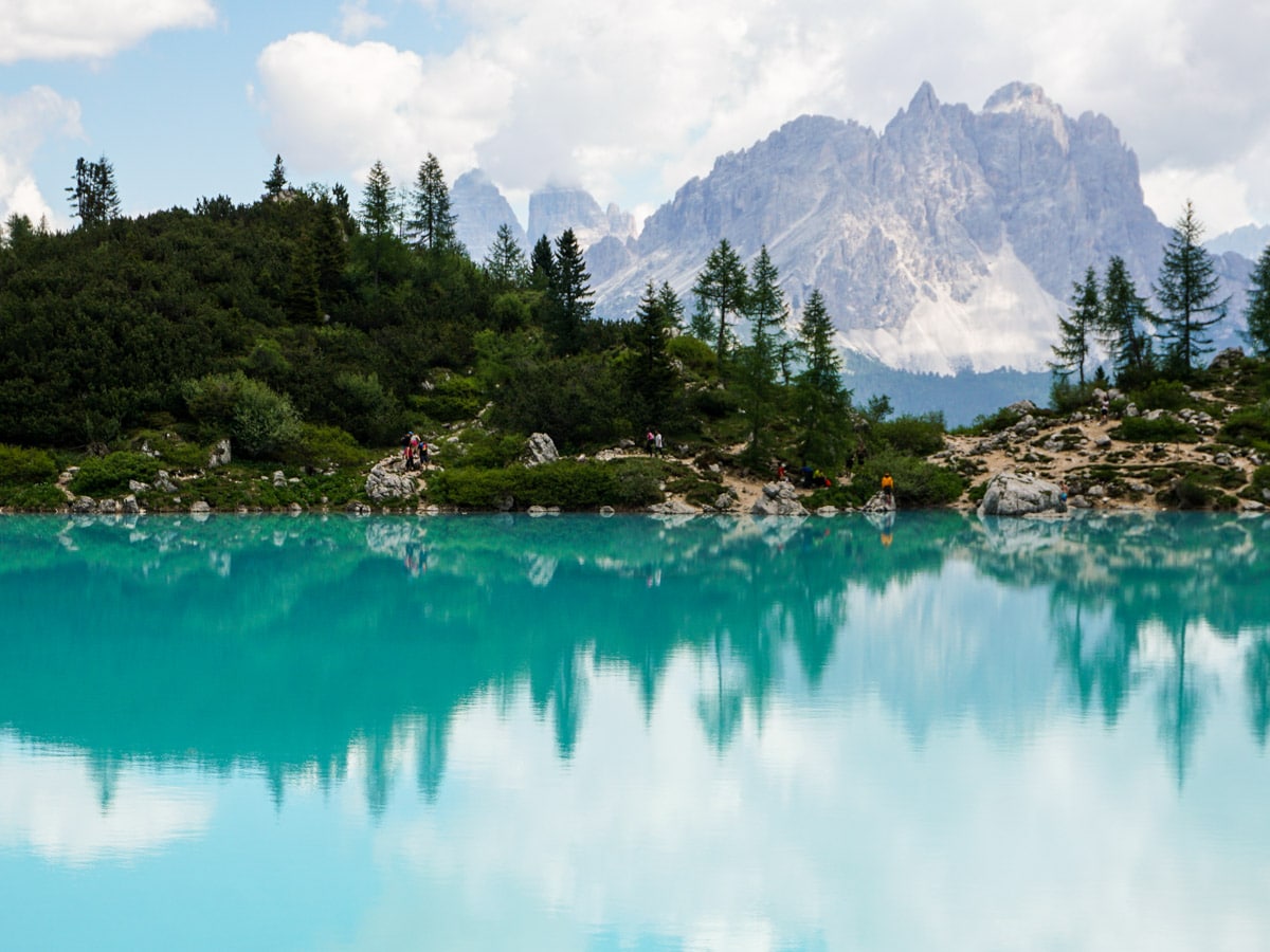
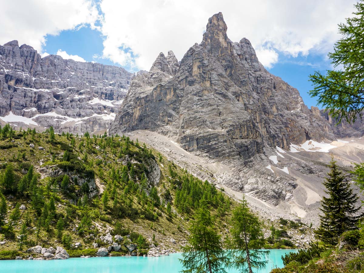
We love the hike to Lago di Sorapis (Lake Sorapis). This beautiful hike takes in all the scenery one expects when walking in the Dolomites, but the reward is entirely unique. The colour of Lago Sorapis is a stunning baby blue. There are some cables along this trail, which can be tough to traverse if you have a fear of heights.
Getting there
Take the SR48 North out of town towards Passo Tre Croci. After 5.0mi you pass a sign for Parco Naturale delle Dolomiti D’Ampezzo, and soon after there is a meadow on your right-hand side at the pass. There are often cars parked here and the path goes off to the right.

About
| When to do | May to September |
| Backcountry Campsites | No |
| Toilets | No |
| Family friendly | No |
| Route Signage | Average |
| Crowd Levels | Moderate |
| Route Type | Out and back |
Lago di Sorapis
Elevation Graph
Weather
Route Description for Lago di Sorapis
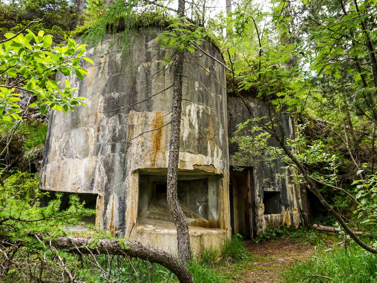
Head out from the pass on the main broad path that goes off to your right: number 215. Follow this path through a forest – keeping your eyes open for old WWI bunkers, hidden in the trees.
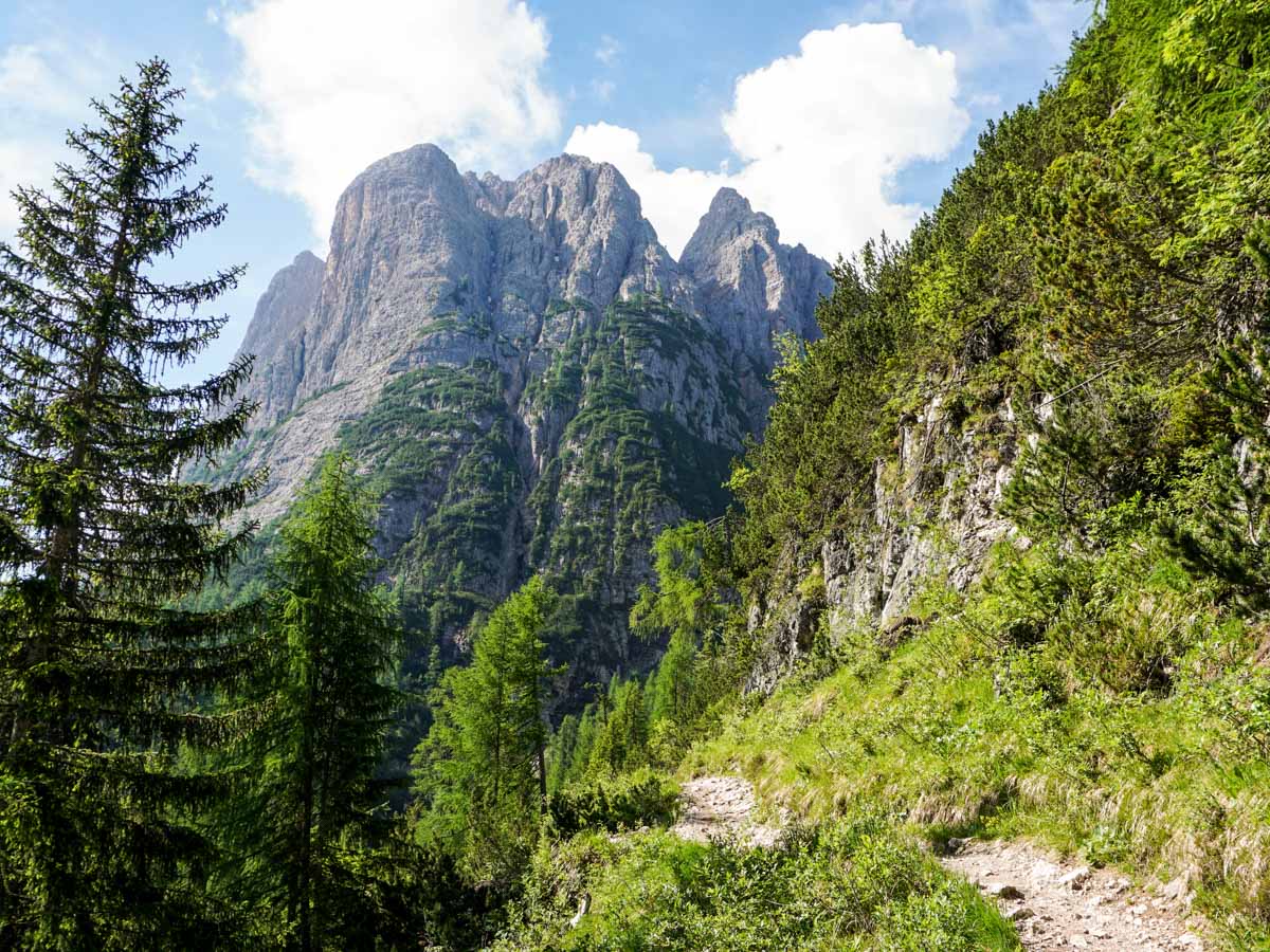
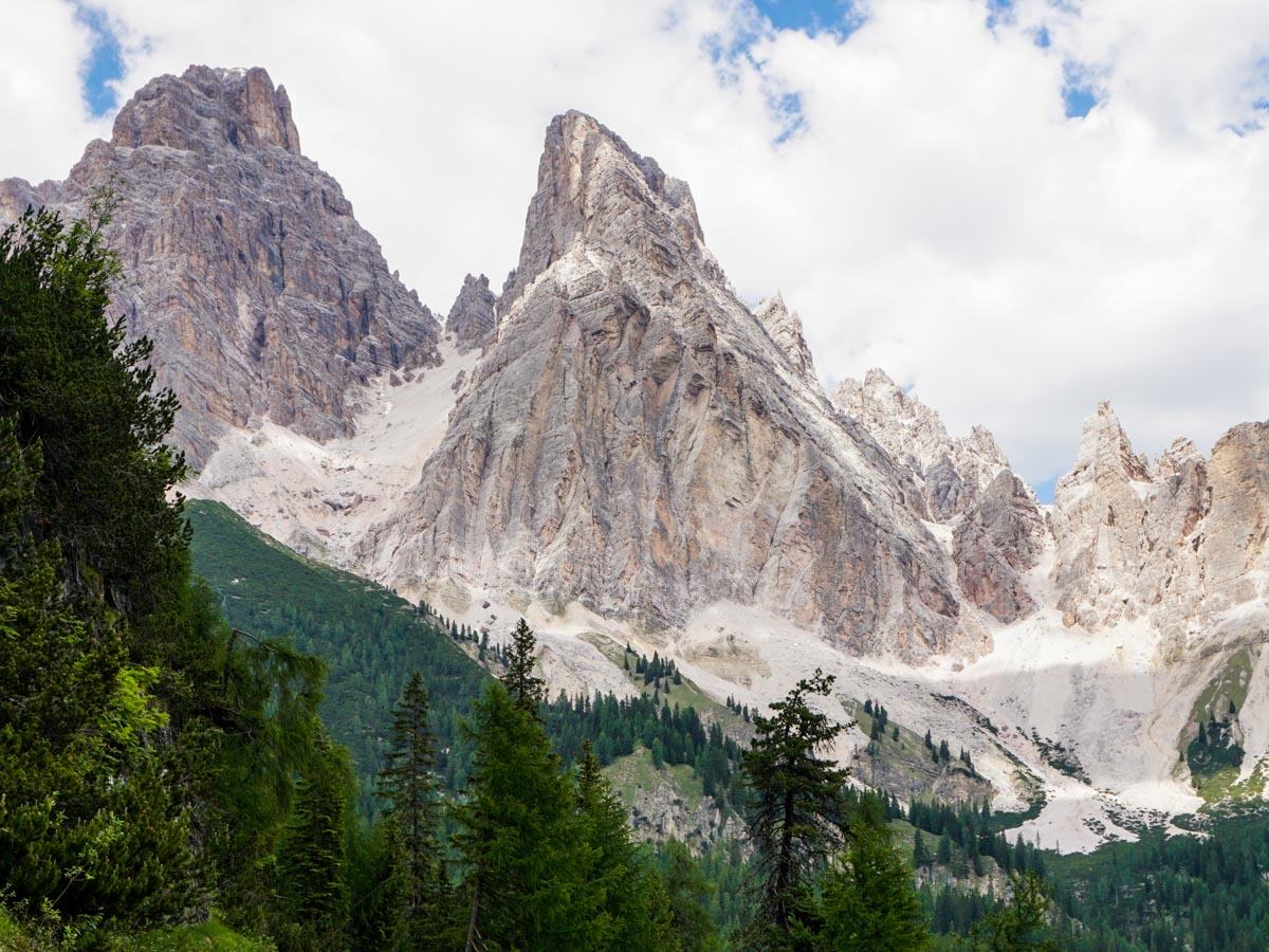
After fifteen minutes the trail splits. If you want to see some WWI caves, then take the upper right-hand trail for one minute. Otherwise go left and continue on the trail to Lago di Sorapis. The trail goes through forest with some occasional nice views of surrounding mountains.
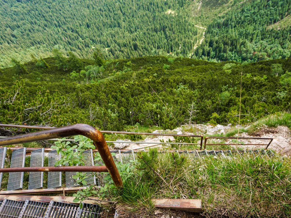
After 2.6mi, you’ll come to some cables and a staircase. This is not too demanding, and most people have no problem climbing these stairs.
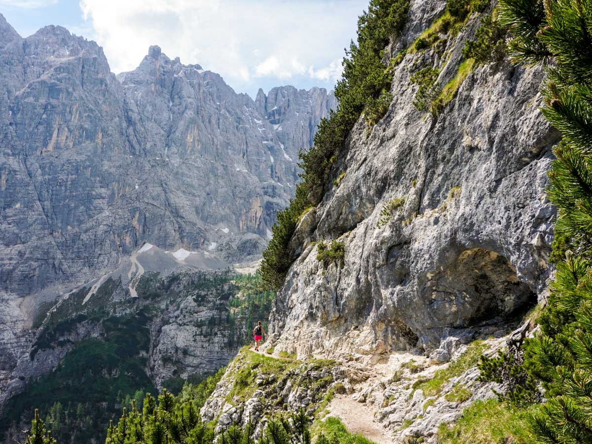
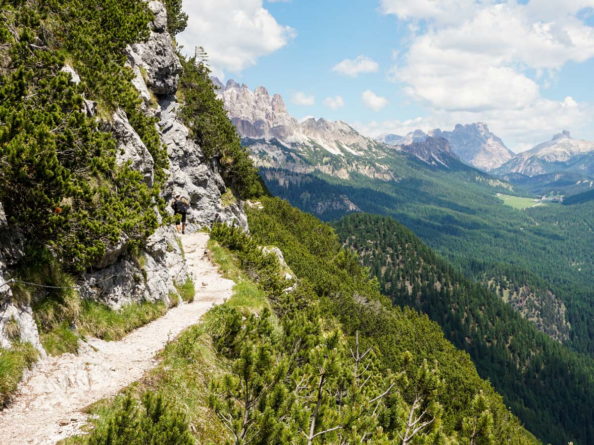
Soon after the first set of cables, there are some more on a wide path. Most people don’t have an issue with these cables, however if you don’t like heights then this may not be ideal.
After another 20 to 25 minutes you will come to a longer section of cables to hold onto. While the path is wide, the drop off to your left is significant. This might be tough if you have vertigo, and people have turned around at this point.
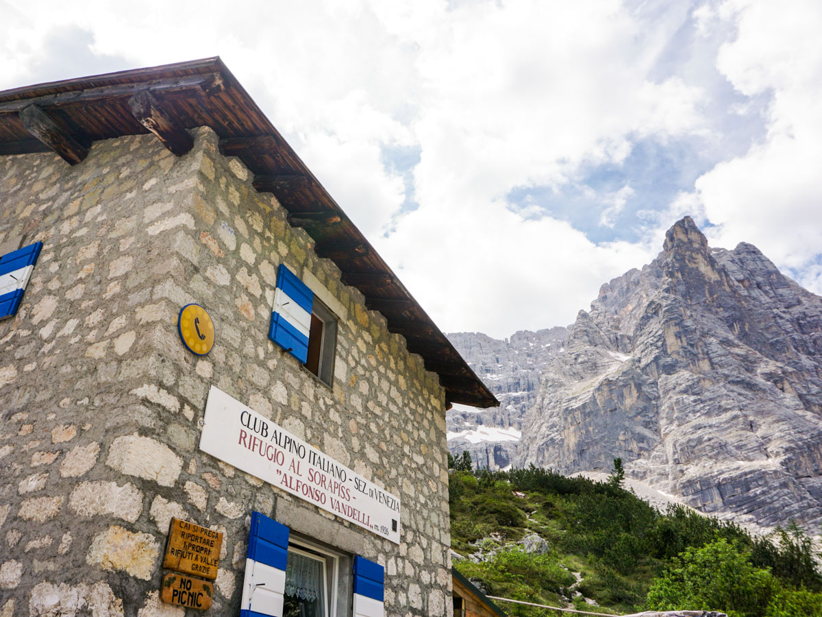
At 3.3mi you’ll go left at the fork, towards Rifugio Vandelli al Monte Sorapis. You’ll soon see the Rifugio and once you cross a (usually) dry stream, you’ll see route signage that points left to the Rifugio or right to the Lago. We prefer going to the Lago first, especially if we started early, as we can have the lake to ourselves.
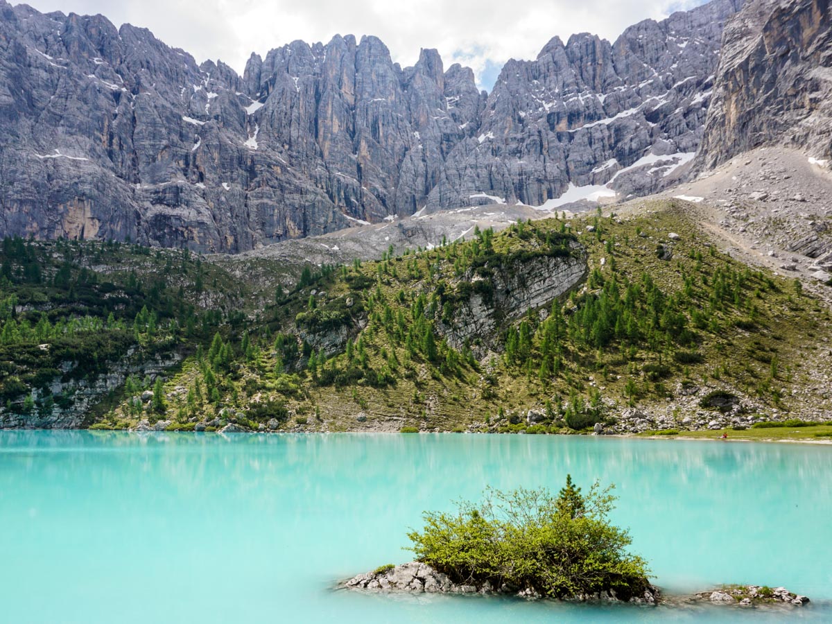
Once you reach the lake, you can find a rock to sit on and simply enjoy the beauty, or you can try and get around the lake. We can’t find a safe path going all the way around the lake. We like to go counter-clockwise on a narrow path that goes through bushes and over rocks to the end of the lake. The end of the lake gives more stunning views, and you can even continue a bit more around the other side, continuing to go counter-clockwise until a rock wall bars your path.
After taking a break at the end of the lake – and enjoying new and stunning views – we walk back, retracing our steps around the lake. Now is the time to stop for a snack at the Rifugio.
Coming back down, you can see path 216 going off to the left. This is a beautiful route, although it is much more exposed and steep then the route taken in. It’s beyond the average hiker in our view, so we recommend you go back on the path you came in on.
Lake Sorapis hiking in 2024
Great news for those visiting the Lake Sorapis in 2024 and looking to avoid parking in the crowded parking lot during peak times. This year, the Lake Sorapis trailhead remains available to be reached by bus. During the hiking season, there are public transport services that operate to Passo Tre Croci, the starting point for the Lake Sorapis hike. Buses from Cortina d’Ampezzo go directly to Passo Tre Croci, making it accessible for those who prefer not to drive.
Insider Hints
Check out the Rifugio Vandelli al Monte Sorapis. Stay the night and get dawn and dusk at the lake and explore nearby trails. At the least, stop for a snack before heading down.
To get to the trail-head, you can take a public bus from Cortina d'Ampezzo to Passo Tre Croci bus stop. This bus service runs until the end of September and they usually have two departures in the morning and two returns in the afternoon. For more information, please visit Dolomiti Bus.

Similar hikes to the Lago di Sorapis hike
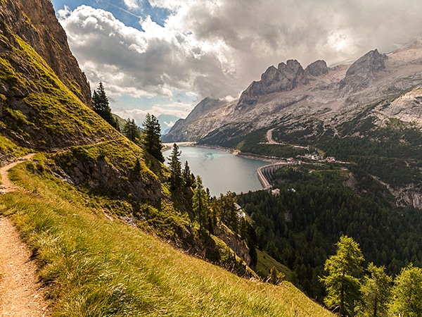
Viel del Pan Marmolada
The Viel del Pan hike treks over a historic path used by the flour and bread merchants to get from…
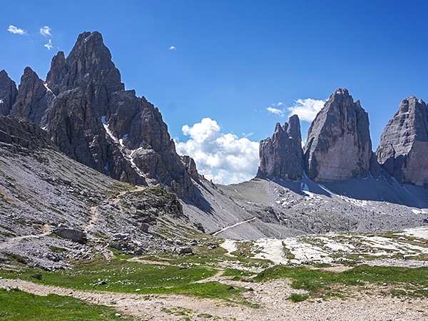
Tre Cime di Lavaredo Hike
The Tre Cime di Lavaredo Circuit (also known as the Drei Zinnen) is a must-do trail for hikers in the…
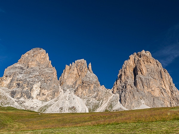
Sassopiatto and Sassolungo
The circumnavigation around Sassopiato and Sassolungo is a great hike in the Dolomites. If you can handle a longer walk…
Francesco D. 4 years ago
A wonderful walk to reach a scenery place
Udo Huber 4 years ago
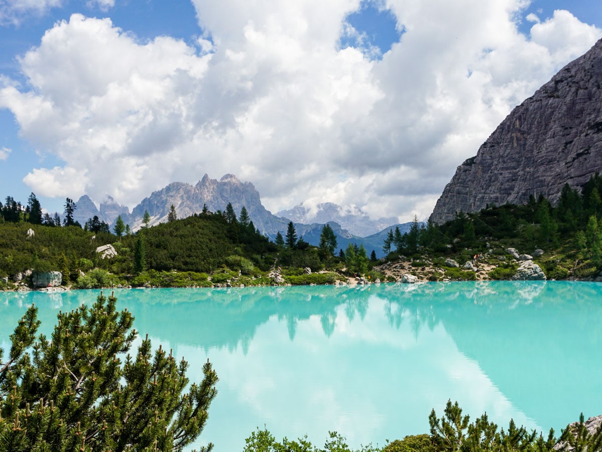
Manageable hike. Lago Sorapiss is tantalizing with its striking baby blue color. Must-see!
Antoanette Lavroutte 4 years ago
The color of water is almost unreal. The path to the lake is about 2 and a half hours long but it's totally worth it!
Rolando Acciaio 4 years ago
A beautiful lake surrounded by the Dolomites, it is a unique place to visit
Cindhy Klins 4 years ago
Absolutely beautiful hike. We arrived before 9am and had no issue finding parking at the trailhead.
TutiDulce 4 years ago
Fantastic place in the middle of nature
Gilberto Fattore 4 years ago
Lake Sorapis is one of the most beautiful places in the Dolomites and the path was excellent
Alexis Schweitzer 4 years ago
Lake Sorapis is one of the most beautiful places in the Dolomite, A great match for anyone who enjoys great hiking during the day
Danny V. 4 years ago
The lake was mesmerizing! I had an invigorating adventure!
claritam 4 years ago
It looks like a mystical paradise! Never seen such beautiful wonder before!