Mt Albert Edward hike
View Photos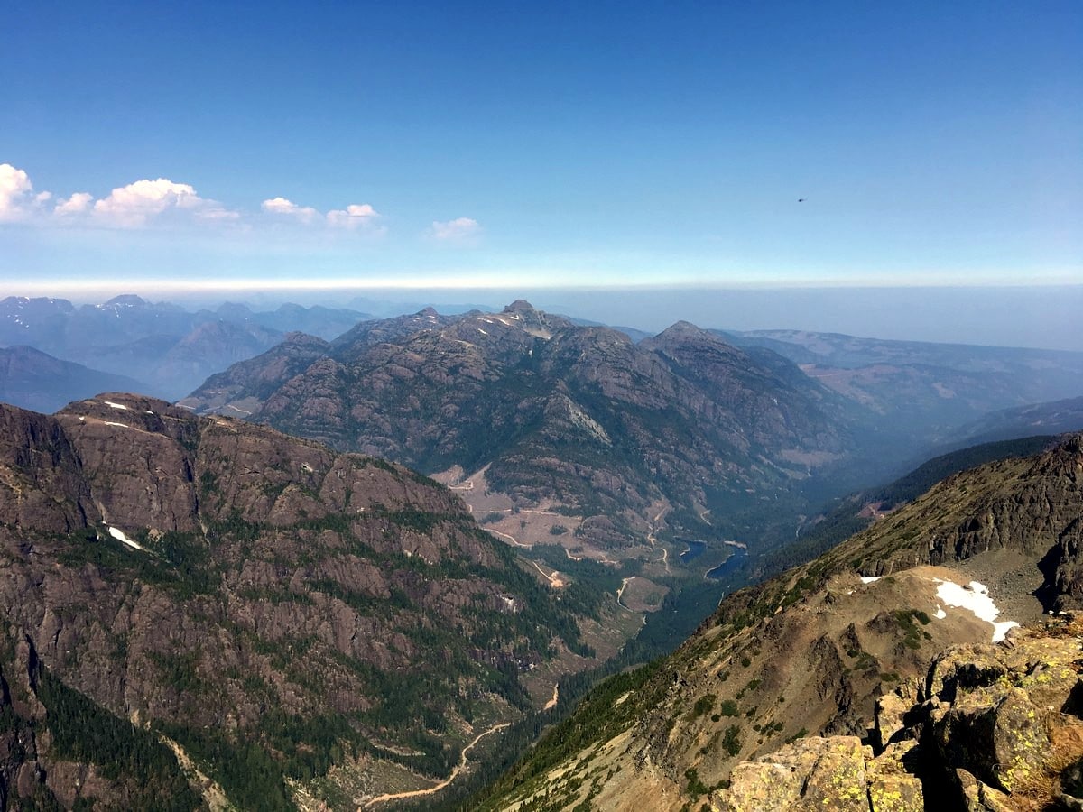
Mt Albert Edward hike
Difficulty Rating:
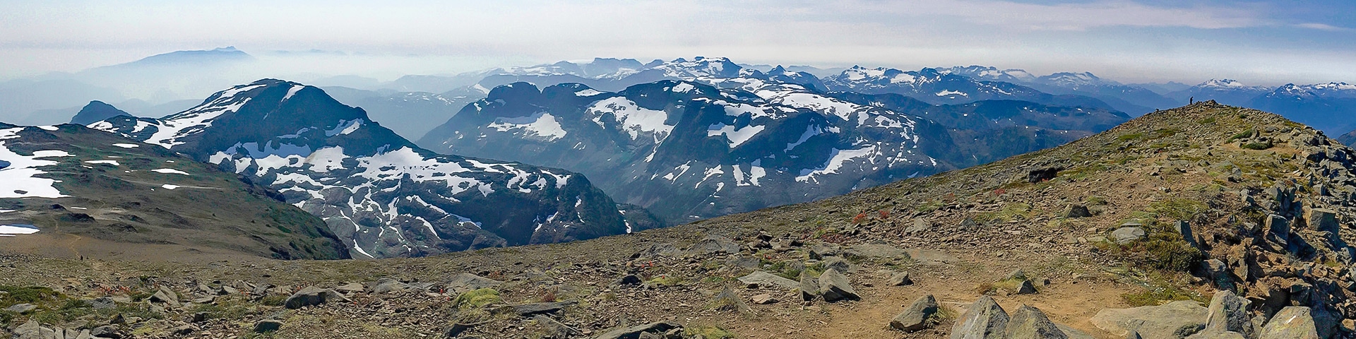
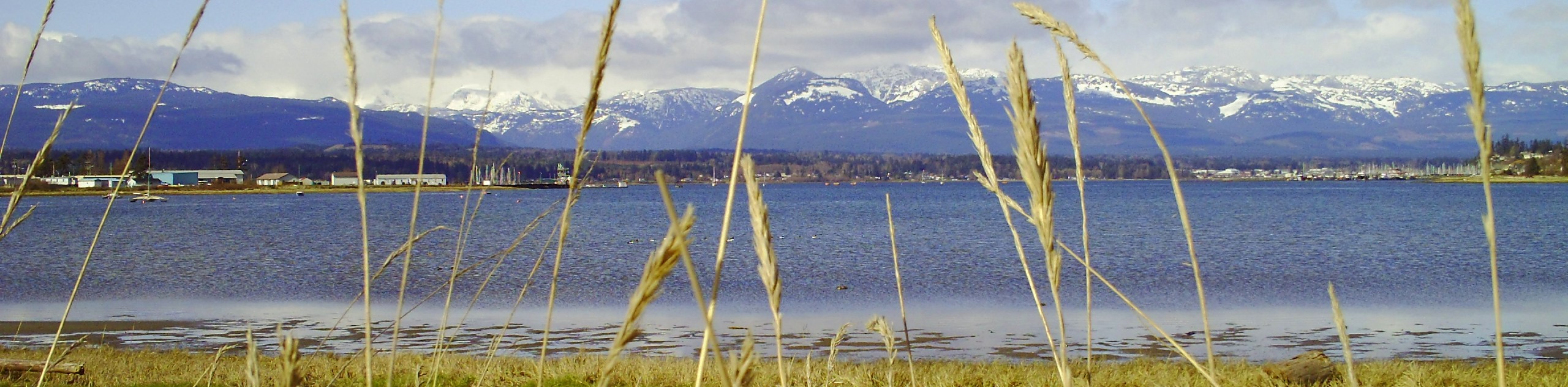
The Mt Albert Edward hike is commonly seen from the Mt Washington ski hill. The dramatic sloping south ridge and sharp north point of Mt. Albert Edward has become an iconic part of Vancouver Island hiking, climbing, and skiing history. At the very edge of Forbidden Plateau, this enchanting summit can be hiked in a very long day, but don’t worry, the view from the top looking into the heart of Strathcona Park is well worth the climb!
Getting there
From Campbell River, head south along the Inland Island Highway (BC-19 S). Turn west onto the Strathcona Parkway, following signs for Mt Washington Resort. Follow this road for 11.8mi as it gains approximately 3281ft of elevation. When you arrive at the junction beside the ski resort, hang a left towards the Raven Lodge. Park near the Raven Lodge where you will also find a large map and the Strathcona Wilderness Institute.

About
| When to do | July - September |
| Backcountry Campsites | Many opportunities along the Plateau, most will camp at Circlet Lake |
| Toilets | At trailhead and at several backcountry campsites along the way |
| Family friendly | No |
| Route Signage | Average |
| Crowd Levels | Moderate to High |
| Route Type | Out and back |
Mt Albert Edward
Elevation Graph
Weather
Route Description for Mt Albert Edward
The hike to Mount Albert Edward is a long-day or a backpack. Make sure you’re prepared.
From the parking lot, hike down and begin on the trail. The first section of trail heading out to Lake Helen MacKenzie is very well maintained, including raised wooden walkways. At the numerous junctions follow the signs for Helen MacKenzie and Mt. Albert Edward.
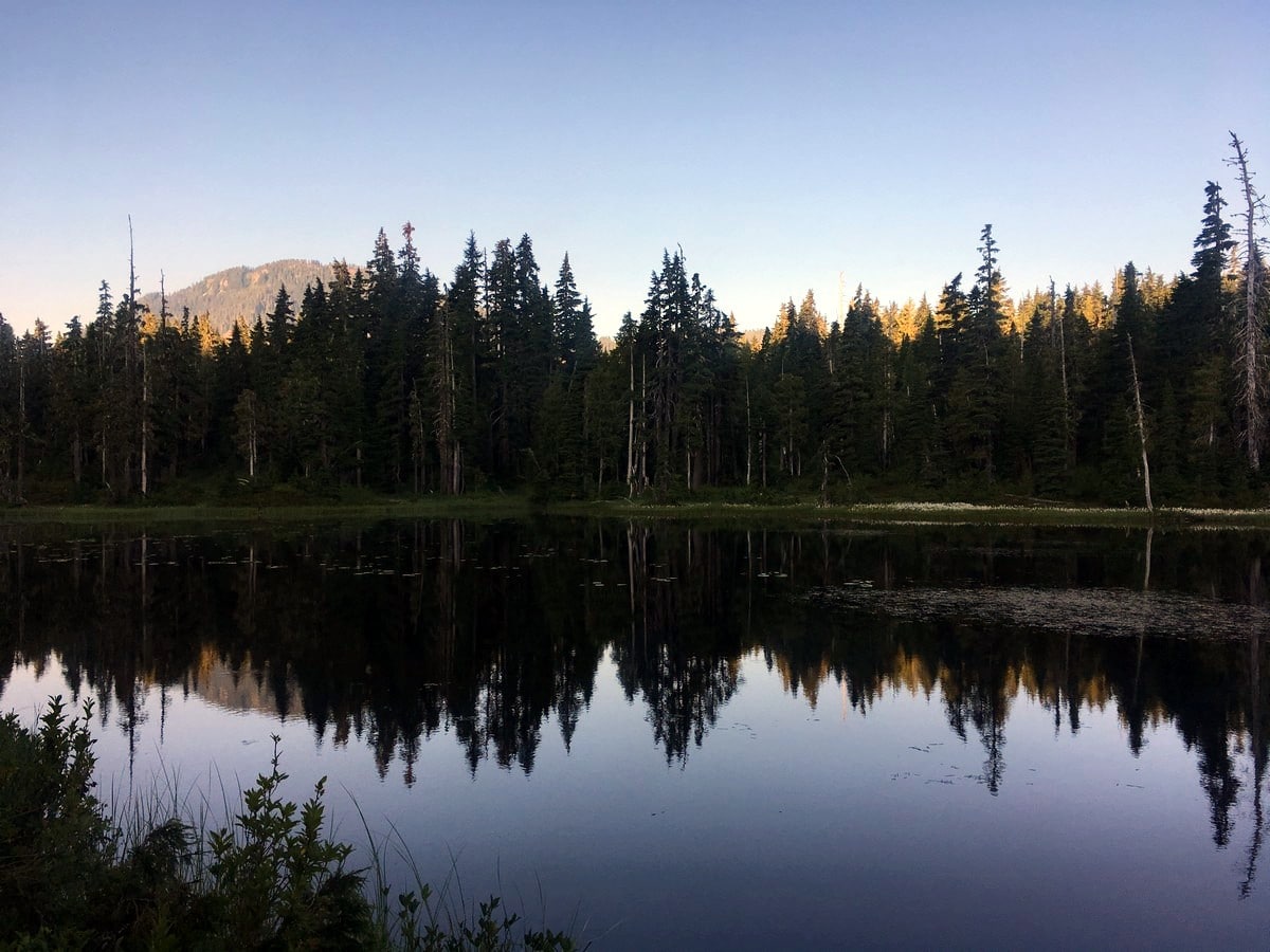
You will soon arrive at Lake Helen Mackenzie, and your first viewpoint. The rugged face of Mt. Elma and Mt Brooks loom over the opposite side of the lake. Turn right here and continue around the west side of the lake. The path will get much more rugged and less maintained.
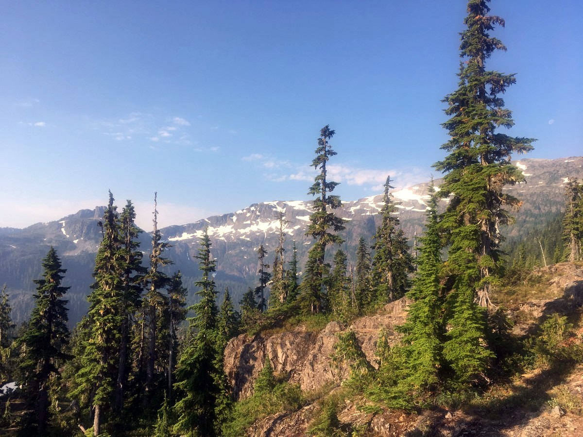
After contouring around the lake, you will hike up the Brooks-Elma pass, continuing south as you traverse the plateau. Here you may start to get your first real views of Mt. Castlecrag and Mt. Albert Edward. This section of the Mt Albert Edward hike is truly stunning, not only do you get a view of the mountains, but the ambiance of the ancient forest and dense shrubbery seem to speak to you.
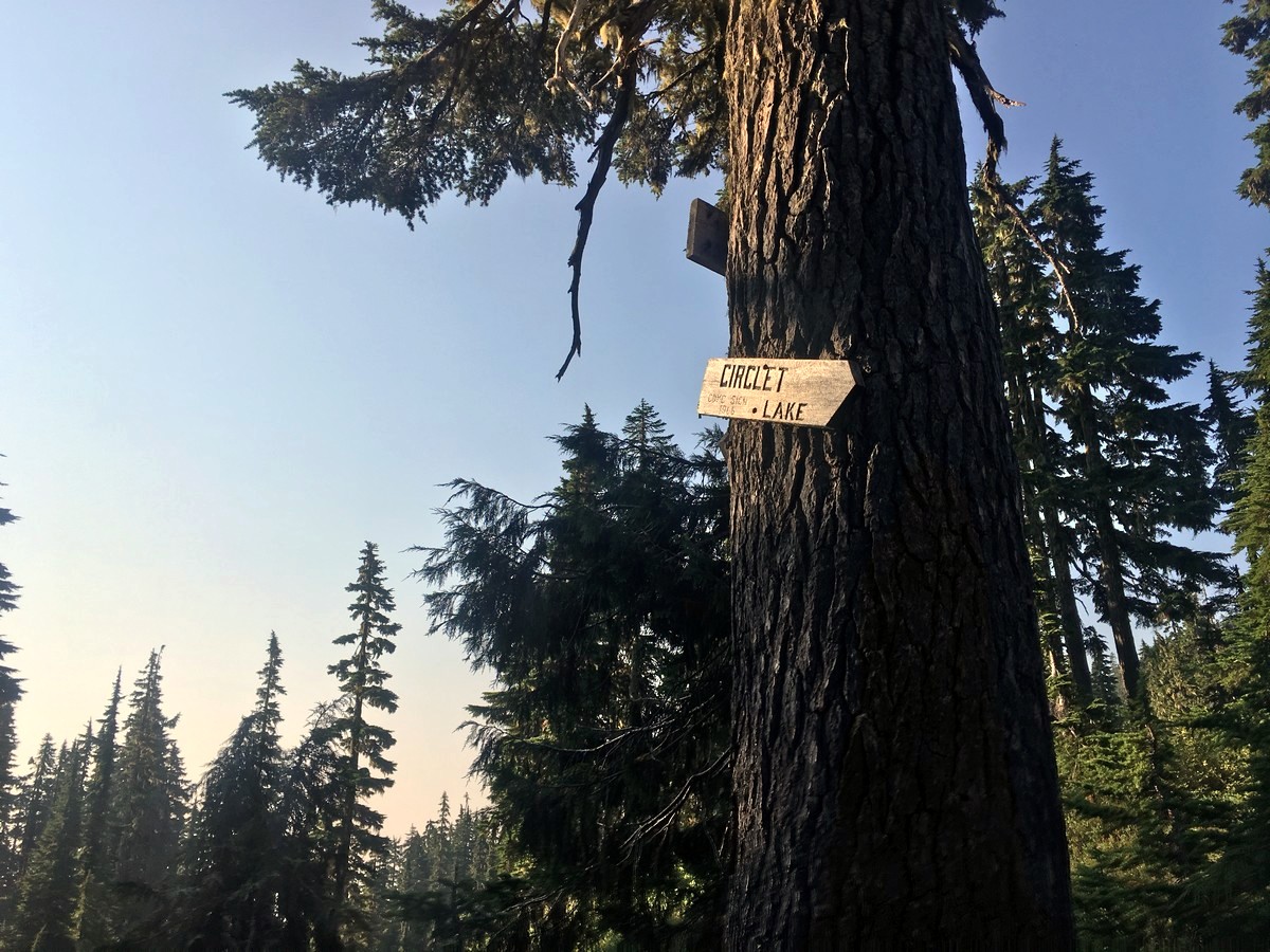
Along this section of the trail you will pass a few more extremely well-signed junctions. You are now following signs for Circlet Lake and Mt. Albert Edward, and will pass the Ranger cabin.
Soon after passing through the beautiful Whiskey Meadows you will arrive at the Circlet Lake junction. After nearly 6.2mi of hiking you will finally start to gain some real elevation as you continue straight to start the climb up to Albert Edward.
BC Parks classifies this section of the hike up Mt Albert Edward as a route, not a trail. The difference between the two starts to become clear as you follow the extremely steep, and at times washed out route ascending to the toe of the Albert Edward ridge. Take your time as this section of the trail is a real leg burner.
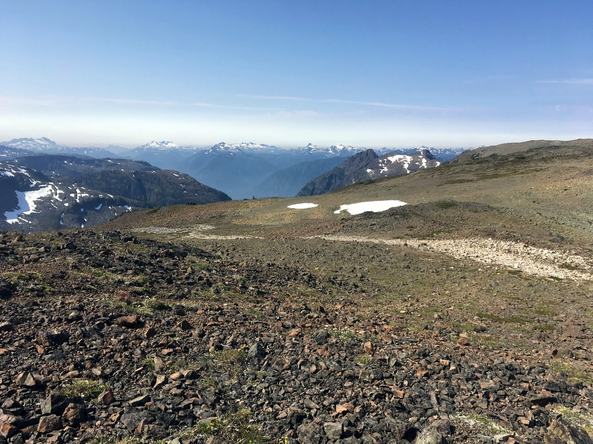
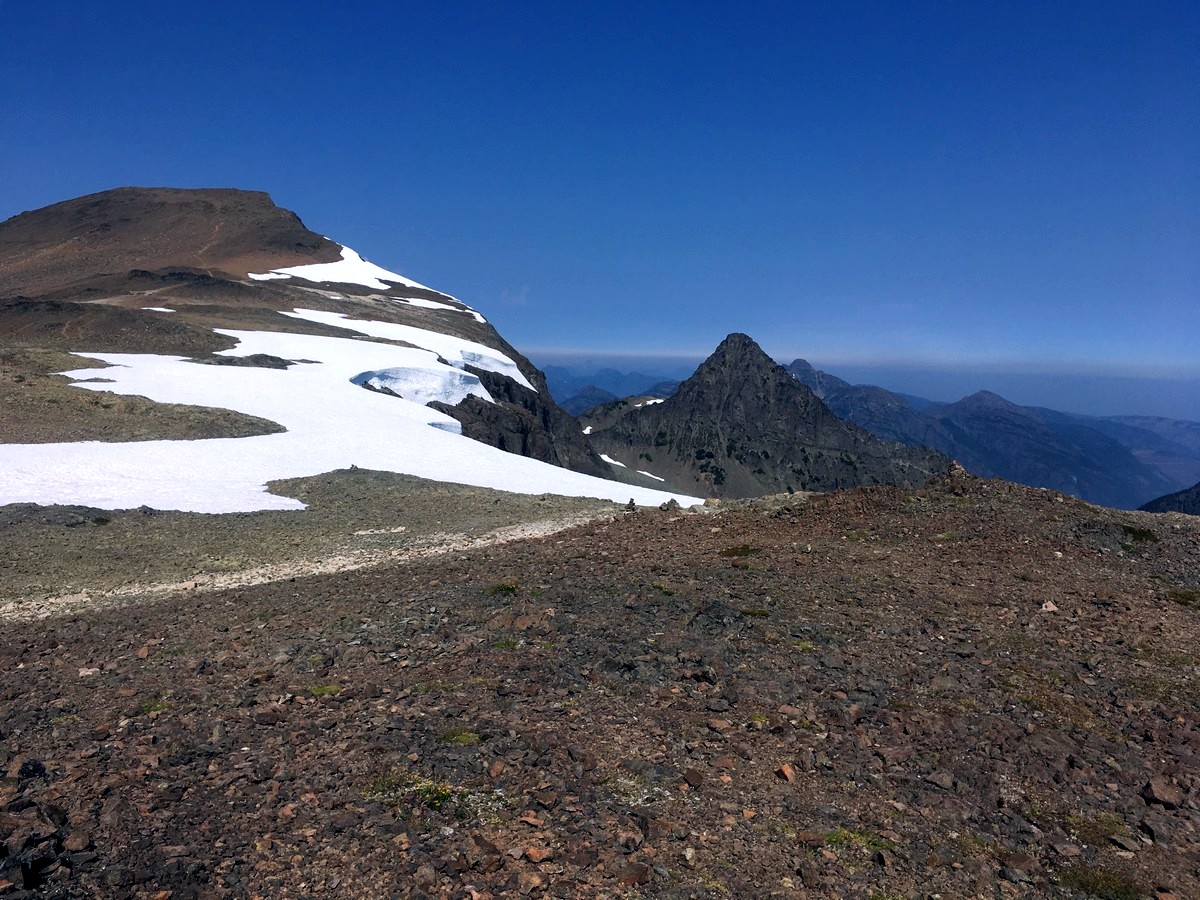
Finally, you will start to emerge from the trees, the grade will ease up, and you will find yourself at the beginning of the iconic ‘ramp’ sweeping around to the stunning summit.
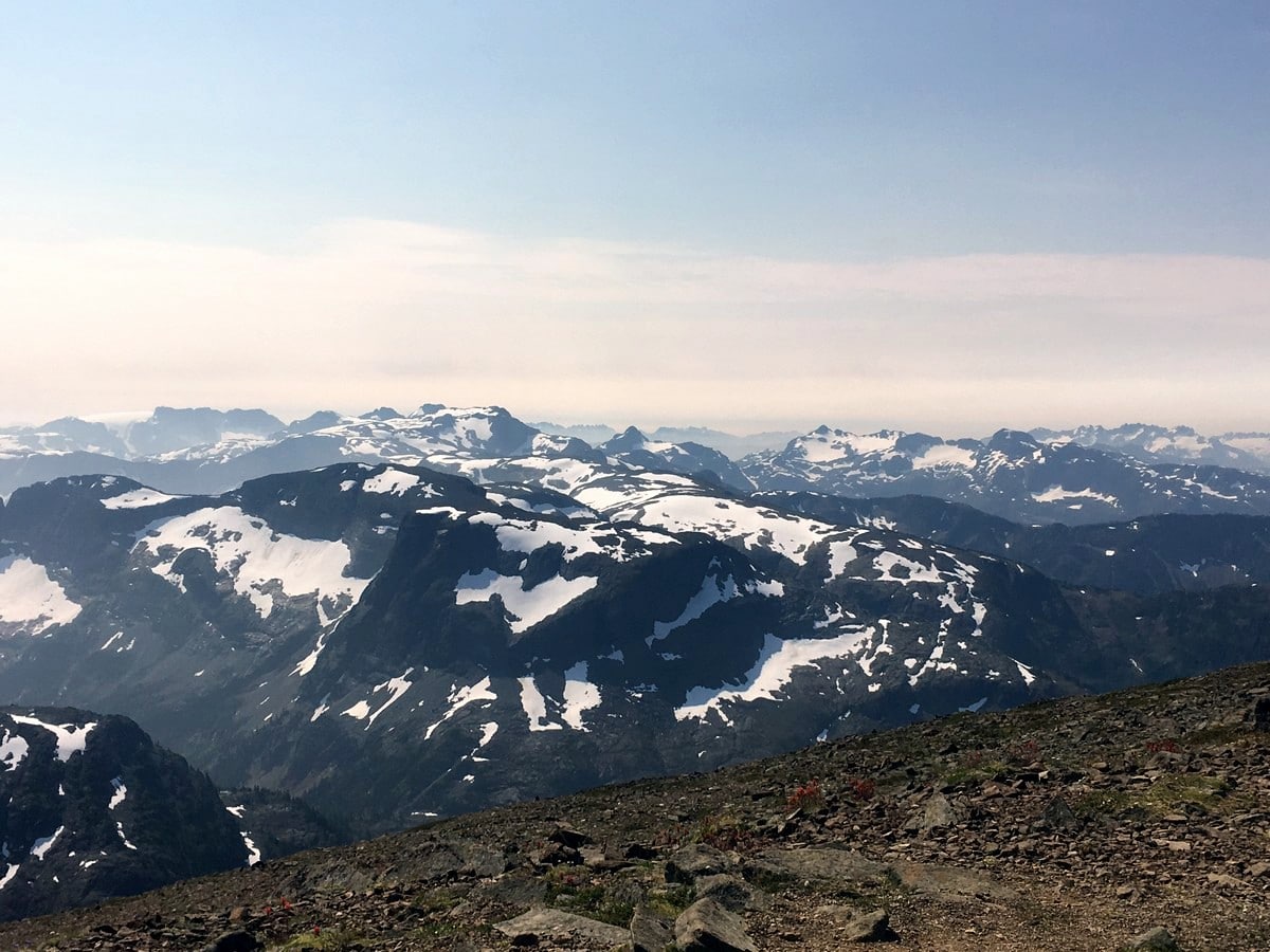
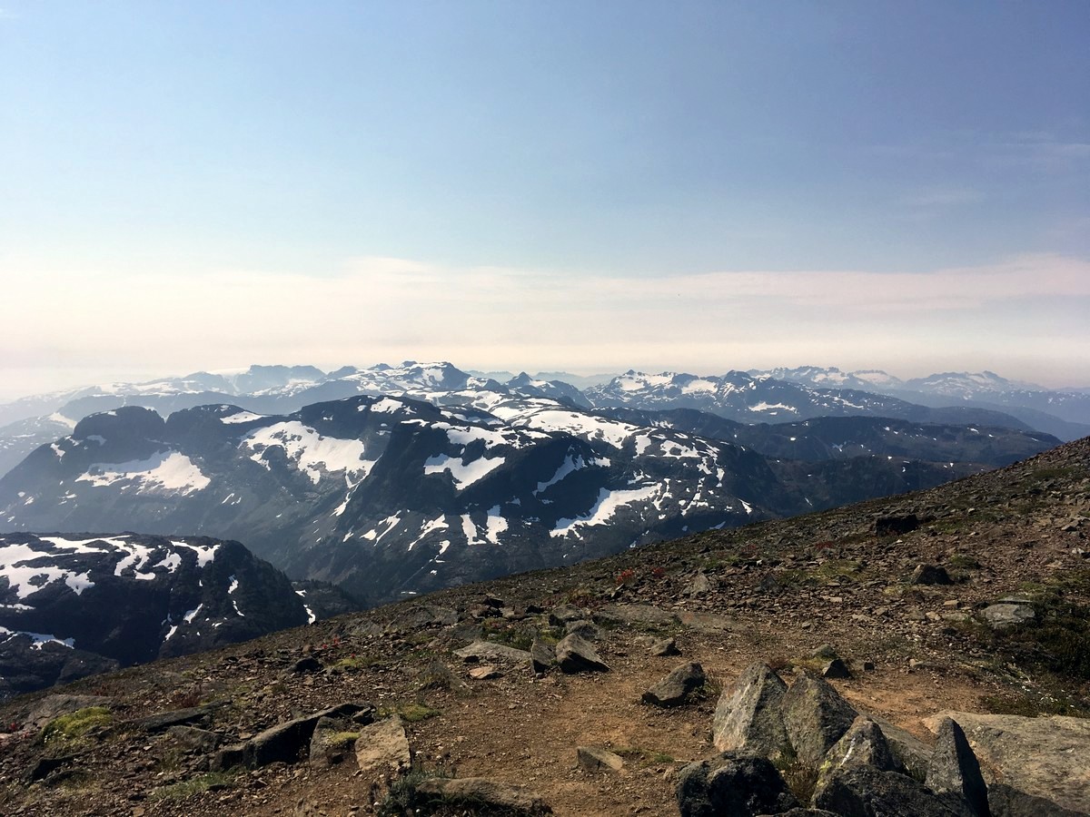
At this point in the hike you will finally realize why you put your body through this. The views across the arid plateau, and to the south of Mt. Castlecrag and Mt. Frank will fill you with wonder. Continue heading southwest, following cairns as you traverse the plateau. Finally, you will reach a pass between Frank and Albert Edward where you will veer to the right (north), still following cairns and a faint trail.
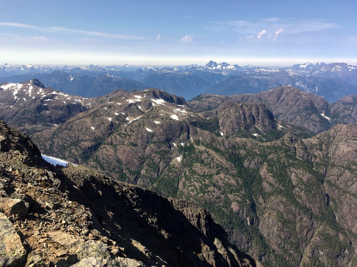
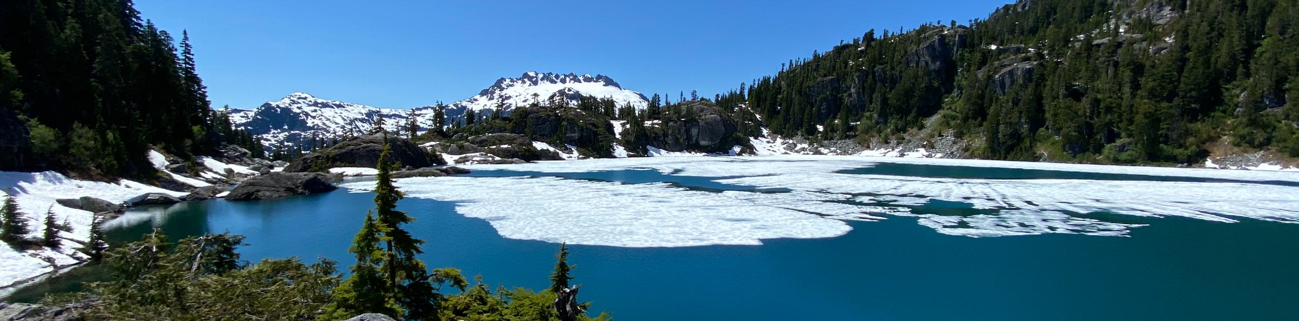
Now you will get your first great view west into the heart of Strathcona Provincial Park. The number of peaks is overwhelming, however some of the classic standouts are The Golden Hinde – the tallest on the island – lying to the west, Nine Peaks to the southwest, and the Comox Glacier to the south.
Continue up the last couple kilometres of the plateau, to the final short climb up to the summit. Here you will find the summit register and a bug-infested cairn. It will seem as though the entirety of the Vancouver Island Alps are sprawling out from your feet.
From the summit of Mt Albert Edward hike back the way you came.
2024 Mount Albert Edward hiking advisory
Those who plan on hiking Mount Albert Edward in Strathcona Provincial Park in 2024 can expect a challenging route that starts from the Paradise Meadows trailhead and spans about 32 km round-trip through stunning alpine scenery. It remains crucial to be prepared for rapid weather changes and navigate carefully as visibility can quickly decrease, especially in foggy conditions. Recently the navigation aids have been improved with waymarking posts to guide hikers safely off the ridge on descent. Make sure to check current conditions and plan accordingly for this demanding hike
Insider Hints
You can buy a map or some treats at the start of the hike, at the Strathcona Wilderness Institute.
For those wanting to break up the distance, it is very common to camp at Circlet Lake for one or two nights.
Try your hardest to do this hike on a clear day. The views from the summit ridge are some of the best in the park, and can only, truly be appreciated on a bluebird day.

Similar hikes to the Mt Albert Edward hike
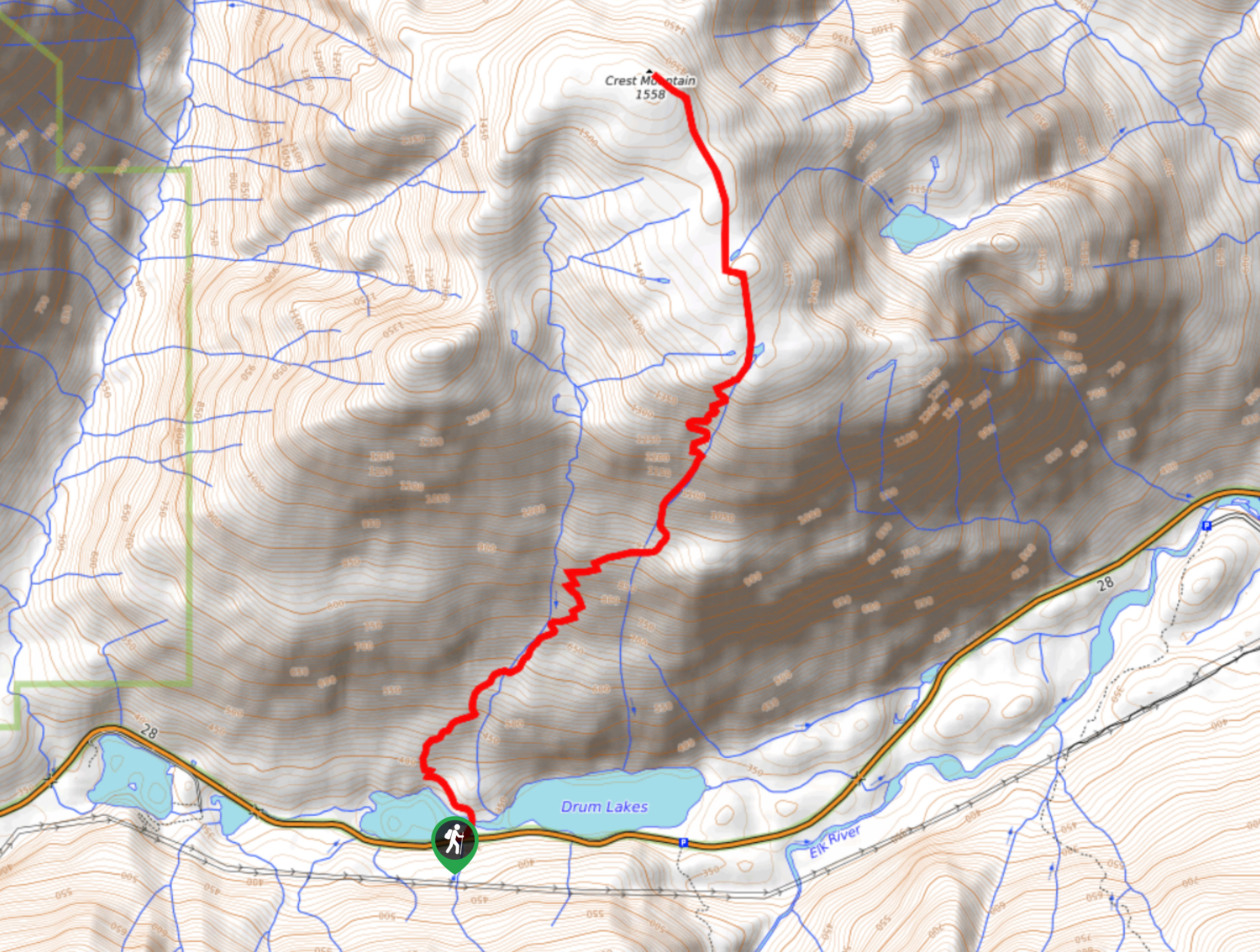
Crest Mountain Trail
The Crest Mountain Trail is an 7.1mi out-and-back hiking route in Strathcona Provincial Park that climbs up a…
Comox Glacier
The Comox Glacier Trail is a difficult 11.2mi out-and-back trail that climbs steeply uphill to traverse the glacier…
Love Lake Trail
The Love Lake Trail is a 3.3mi out-and-back hiking route in Strathcona Provincial Park that can only be…
DeandrePaul 4 years ago
Tons of elevation. Nothing very techinical but whoa, my quads weren't happy with me after this one. The view is well worth the effort, though. Prepare for a big day- took us almost 9 hours at a quick pace.
YukihiroSato 4 years ago
This is the hardest trail I've ever seen. Elevation too many but nice when you finish.
Hiking-eh 4 years ago
Stunning view from the top. Very nice hike!
Rowan Sanders 4 years ago
Amazing Trail! Have a very nice panoramic views of the rest of Strathcona Park.
Meighan 4 years ago
An overall well marked trails and an extraordinary view from the top.
hoshiuemura 5 years ago
Nice day! Love the snow-capped mountains. I have been wanting to go to this park for decades. Loved it
metamorphiks 5 years ago
Nice hike with a myriad of scenery. It also offers lots of leisure activities. Certainly fun and exciting!
loneranger 5 years ago
Gorgeous topography. The high dynamic range works beautifully with the summit views.
Amethyst S. 5 years ago
It was more difficult than I expected. Air was also thinner at the top. Expect to get lots of exposure here.
Wade Atkinson 5 years ago
Every mile was beautiful. Although it was hard, the views were so rewarding.