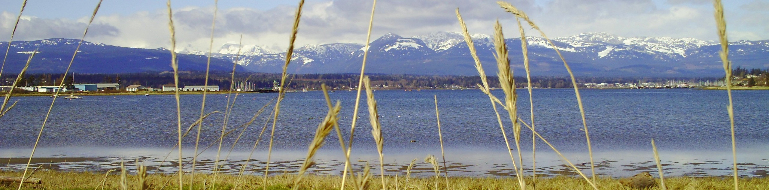
Comox Glacier
View Photos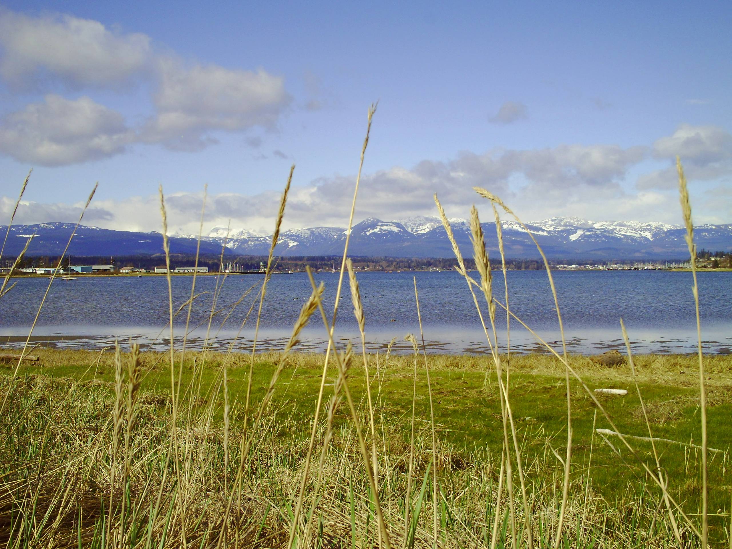
Comox Glacier
Difficulty Rating:
The Comox Glacier Trail is a difficult 11.2mi out-and-back trail that climbs steeply uphill to traverse the glacier and surrounding mountains. This route should only be attempted by experienced hikers as the glacial terrain presents a range of hazards that make the route unsafe for the casual hiker. Along the route, you will hike uphill through stunning forests and the picturesque alpine terrain surrounding the glacier.
Getting there
To get to the trailhead for the Comox Glacier from Courtenay, make your way southwest along Lake Trail Road and turn left onto Comox Lake Road after 2.8mi. Continue for 10.4mi and turn left to stay on the same road for 0.9mi. Make a right on Cruikshank Road and keep on it for 1.9mi. Make a right turn onto Cruikshank Main Road and continue for 3.3mi. Turn right again and keep straight for 3.1mi to reach the parking area. This is a privately owned road, so check in advance as to whether the trail is accessible.

About
| When to do | June–August |
| Backcountry Campsites | No |
| Pets allowed | No |
| Family friendly | No |
| Route Signage | Average |
| Crowd Levels | Low |
| Route Type | Out and back |
Comox Glacier
Elevation Graph
Weather
Comox Glacier Description
The Comox Glacier Trail is a challenging and dangerous hike that should only be attempted by experienced hikers with knowledge of traversing glacial terrain. Due to the constantly retreating and changing nature of the massive body of snow and ice, the area surrounding the glacier can be dangerous for casual hikers. Additionally, the road leading up to the trailhead is owned by a private logging company and is only accessible at certain points of the year. Make sure to check the accessibility of the trail before you set out on your trek and leave yourself enough time for the return leg of your journey so that you are not locked in by the 6 pm gate closure.
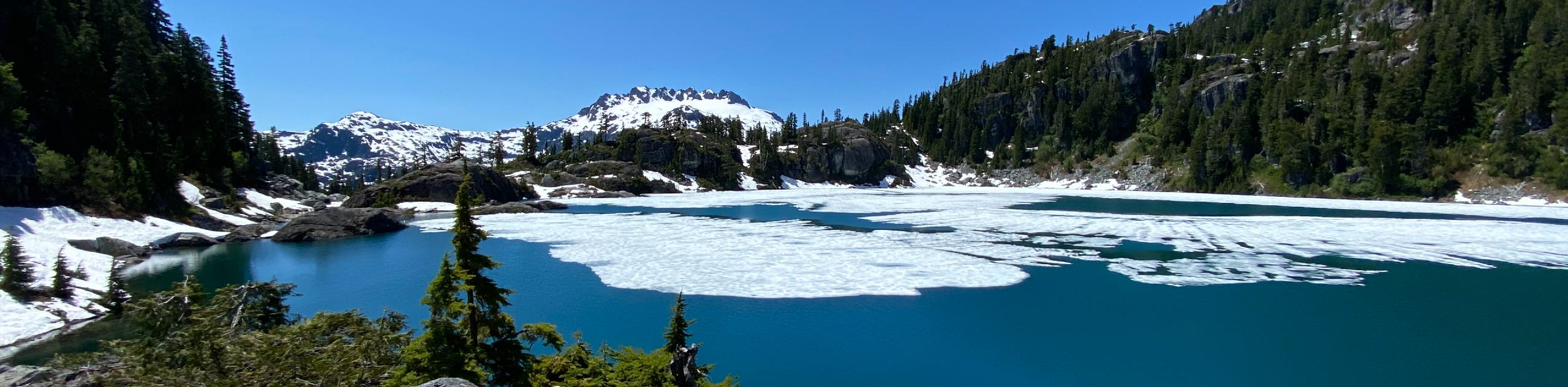
Although this route is difficult, experiencing the Comox Glacier is a unique and breathtaking experience in Strathcona Provincial Park that will leave you with fond memories of your time traversing its frosty expanse. The route utilizes the same trailhead as the nearby Century Sam Lake Trail but breaks off to the left at the initial fork on a path leading up and around the mountains.
You will climb uphill through a beautiful stretch of forest along the trail before breaking out onto the ridgeline with an unreal view of the glacier. From here, you will begin a series of steep ascents along the rocky terrain with rope installations at specific points to aid in your climb. Reaching the glacier, you will need to navigate the icy terrain towards Mount Arthur Evans and the northern tip of the Comox Glacier. After completing the initial stretch of your journey, take in the breathtaking views over Strathcona before carefully making your way back along the trail to return to your vehicle before the 6 pm gate closure.
Similar hikes to the Comox Glacier hike
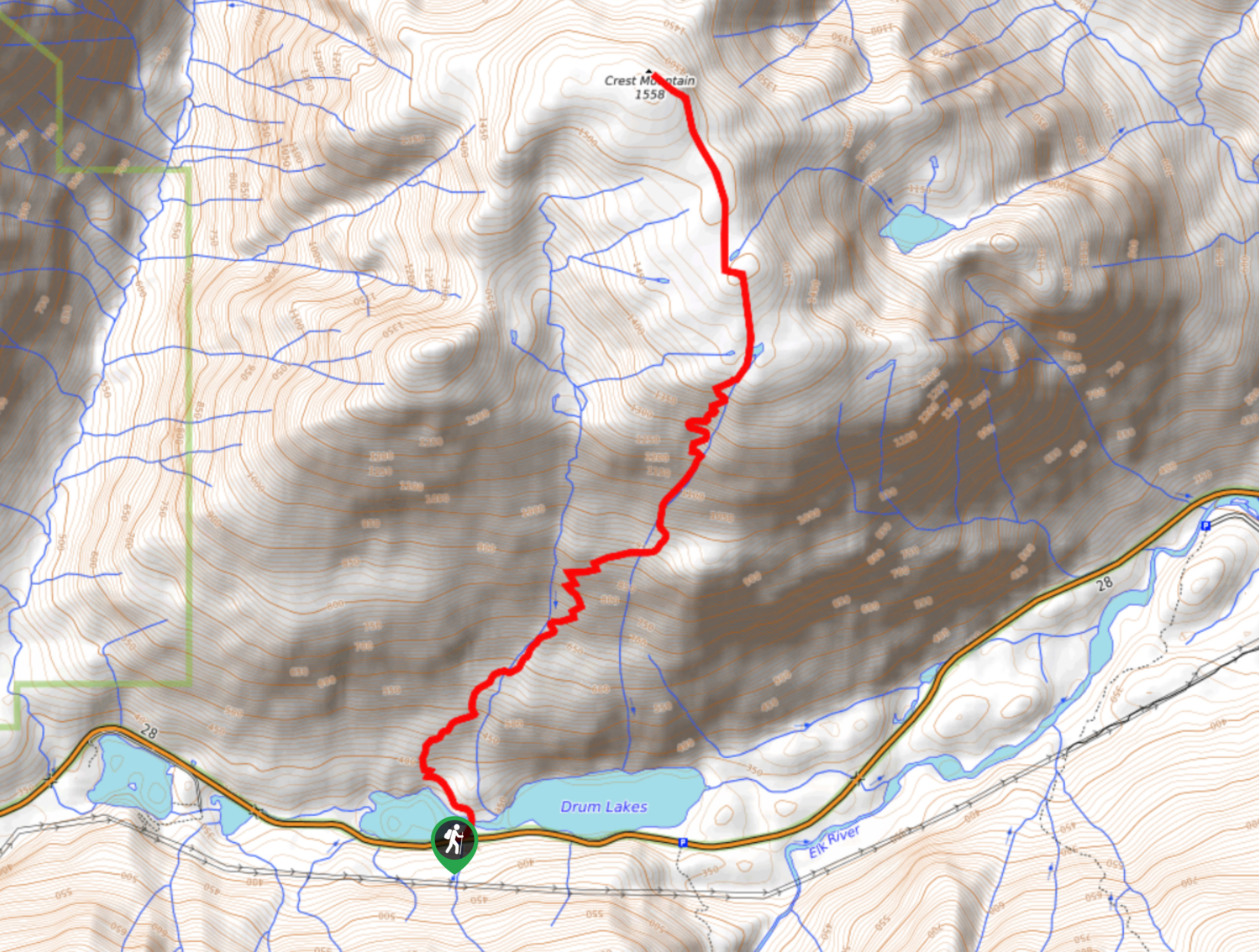
Crest Mountain Trail
The Crest Mountain Trail is an 7.1mi out-and-back hiking route in Strathcona Provincial Park that climbs up a…
Love Lake Trail
The Love Lake Trail is a 3.3mi out-and-back hiking route in Strathcona Provincial Park that can only be…
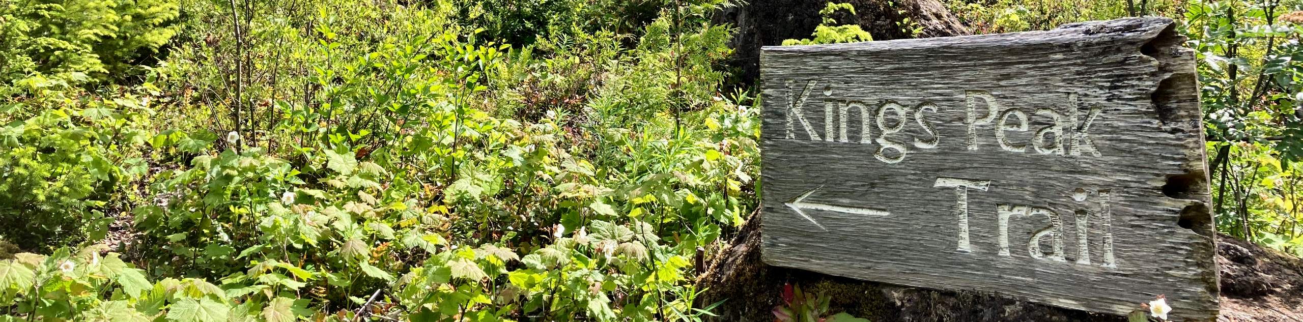
King’s Peak
The trek up to King’s Peak is a challenging 8.8mi hiking route that will take you across a…
Comments