
Mount Washington
View Photos
Mount Washington
Difficulty Rating:
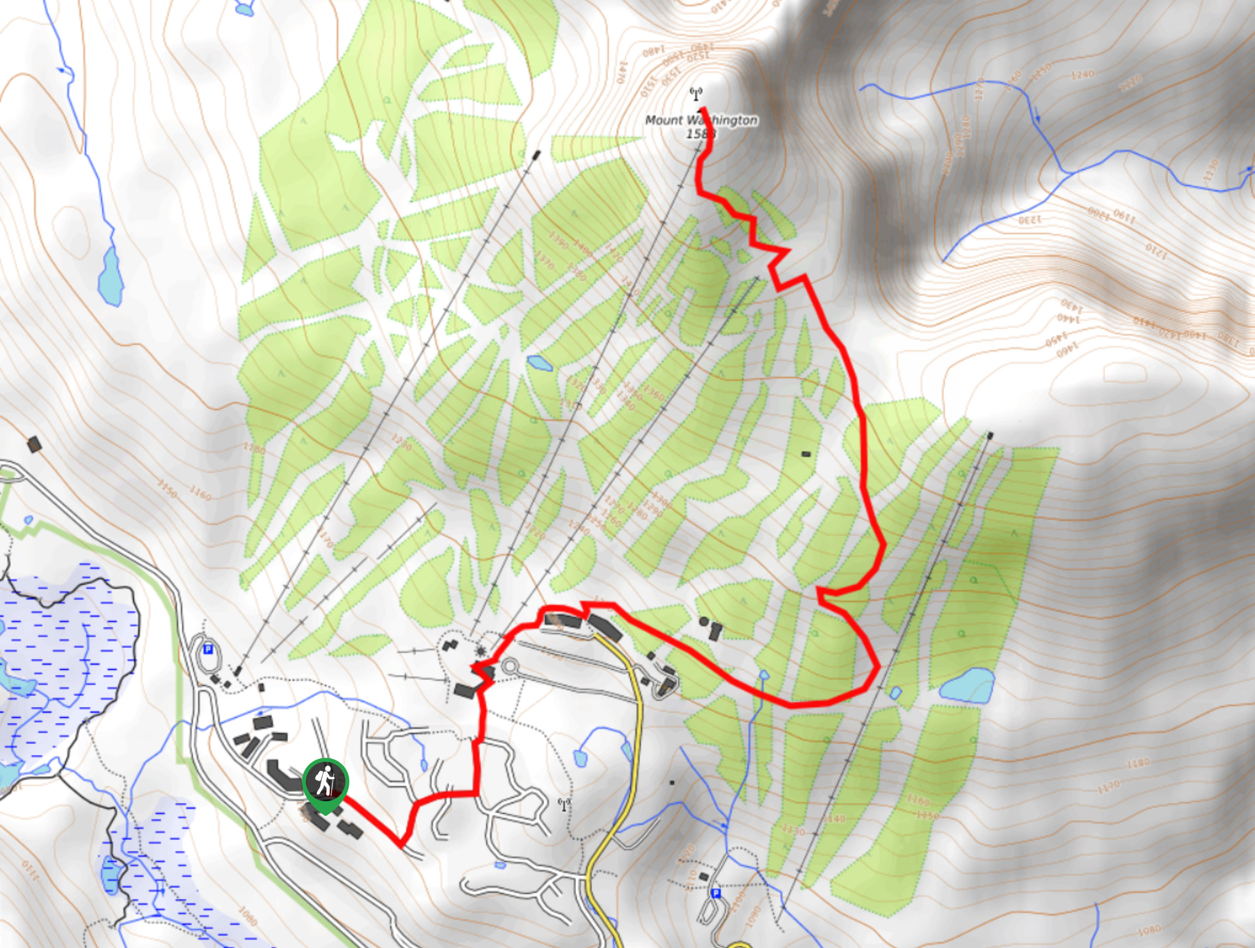
The hike up Mount Washington is a 2.5mi point-to-point trail that will take you up one of the resort’s ski runs to reach a scenic viewpoint at the summit. From there, you will have sweeping views over Strathcona Provincial Park and the rugged peak of Mount Albert Edward. For the return trip, you will have the option to hike back down the mountain or take the scenic chairlift ride to return to the base.
Getting there
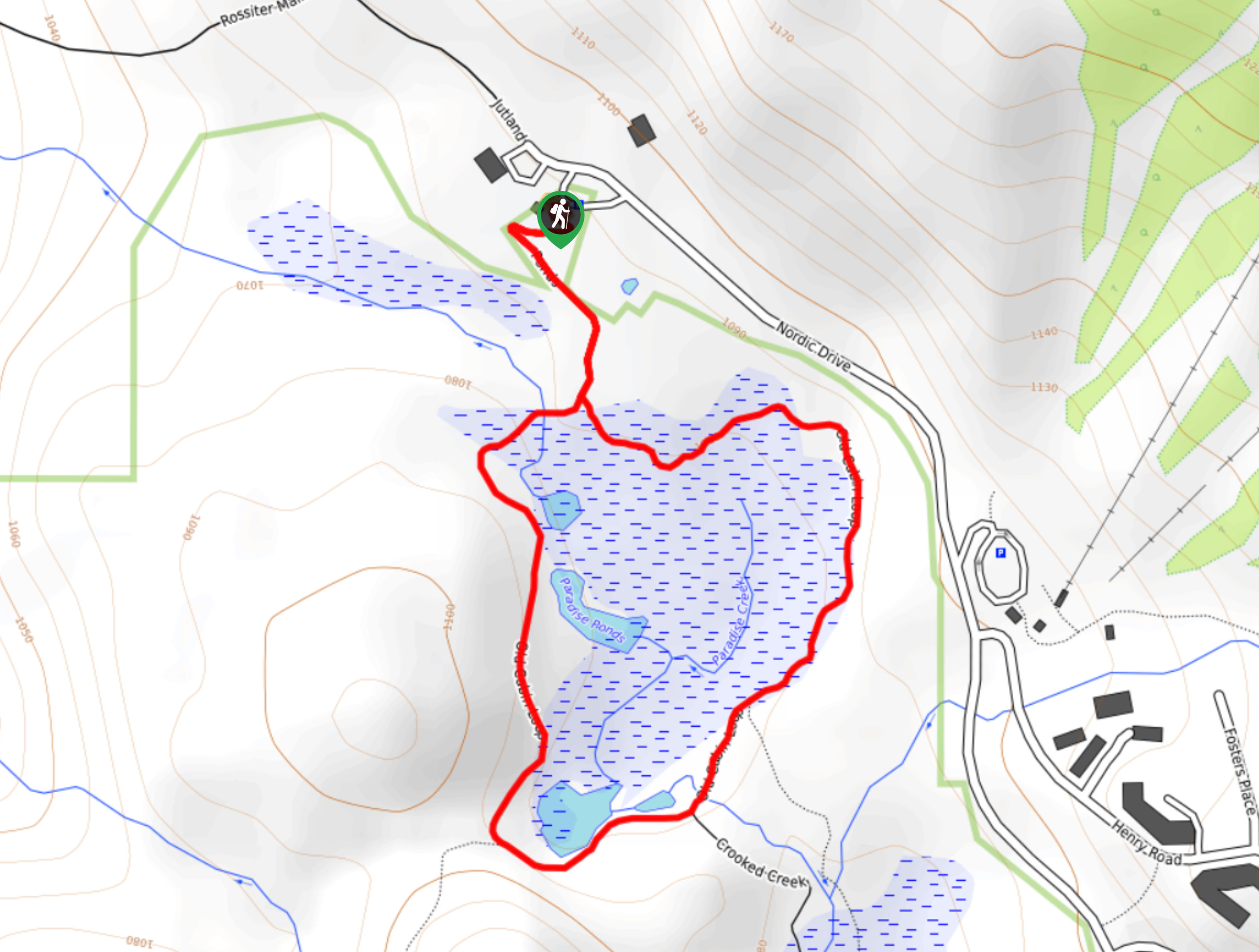
To reach the trailhead for Mount Washington from the BC-19 Highway in Courtenay, head north and make a left turn onto Strathcona Parkway. Continue for 10.7mi and make another left onto Nordic Drive. After 1.1mi, turn right onto Henry Road, and the trailhead will be on the right at 1476ft.

About
| When to do | June–November |
| Backcountry Campsites | No |
| Pets allowed | Yes - On Leash |
| Family friendly | Older Children only |
| Route Signage | Average |
| Crowd Levels | Moderate |
| Route Type | One Way |
Mount Washington
Elevation Graph
Weather
Mount Washington Description
The trail leading up Mount Washington is a fairly easy hike that climbs uphill through the alpine village before traversing a ski run on the way to the summit. Although there is a moderate elevation gain of 1460ft, this is largely spread out through a series of switchbacks as you climb up the peak. In addition to this, the route is clearly marked and easy to navigate, thanks to a series of red flags that define the route.
Setting out from Henry Road, begin hiking uphill toward the ski resort as you pass by the numerous chalets that dot the area. Reaching the end of the road, follow the trail as it winds past the lodge and to the right of the chair lifts. Here, hikers will pass by Bear Lodge before passing through a forested portion of the trail as it heads east. Roughly 2789ft after the lodge, the trail will turn to the left and begin to climb more sharply uphill. Continue working your way uphill along the trail as it darts in and out of the tree cover and across several ski runs.
From here, the trail will turn to the north and follow a short series of switchbacks to the summit of Mount Washington. Hikers can take in the scenic views that stretch out into the beautiful expanse of Strathcona Provincial Park, including a sightline towards Mount Albert Edward in the distance. After you’ve admired the views, you can either head back down the trail to return to your vehicle or take the chairlift down the mountain.
Similar hikes to the Mount Washington hike
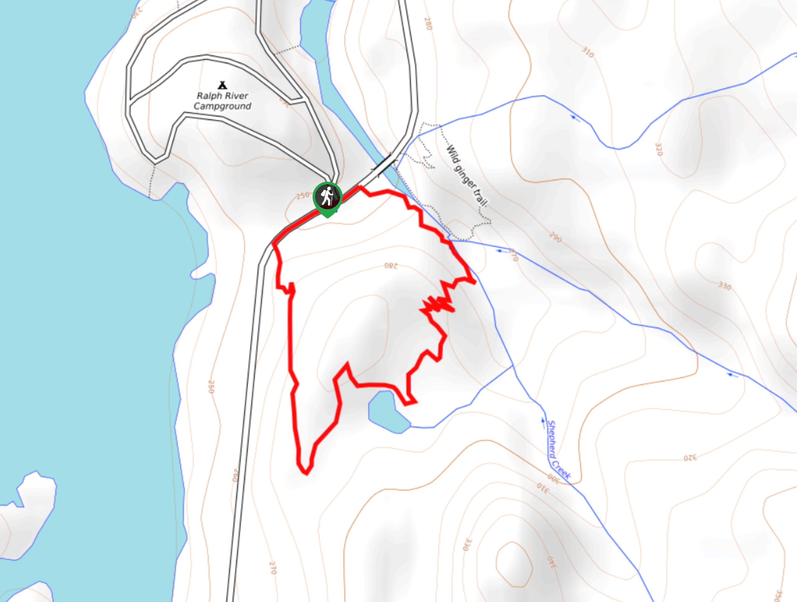
Shepherd Creek Trail
The Shepherd Creek Trail is a quick 1.1mi hike in Strathcona Provincial Park that offers a perfect way…
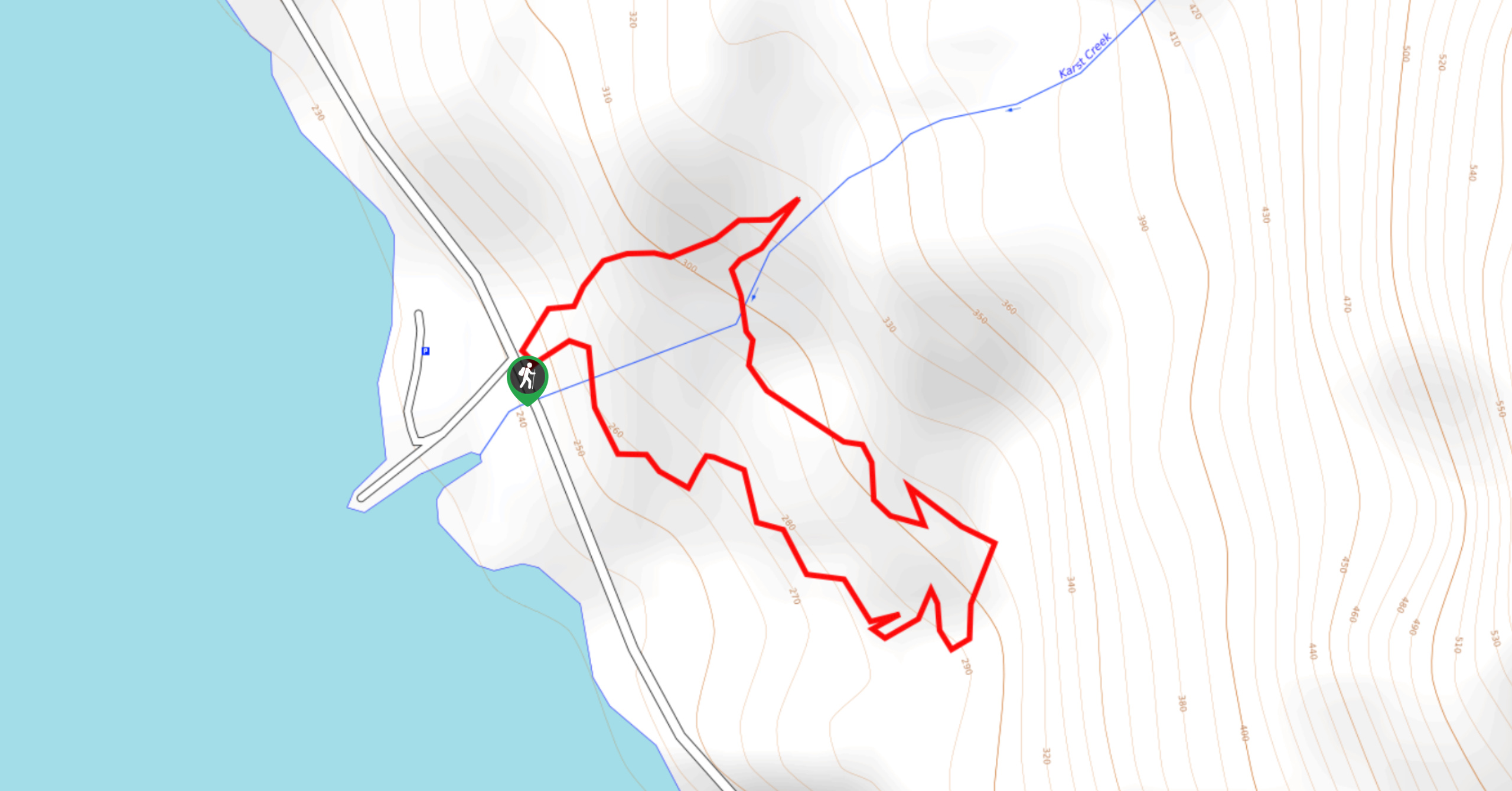
Karst Creek Trail
The Karst Creek Trail is a 0.8mi hiking loop that will take you through a beautiful stretch of…
Old Cabin Loop
The Old Cabin Loop is a 1.5mi scenic hiking route within Strathcona Provincial Park that travels around a…
Comments